
Elevation Gain: 1,544m
Distance: 16.95km
Total Time: 7 hours 20 minutes
Date: April 18th, 2021
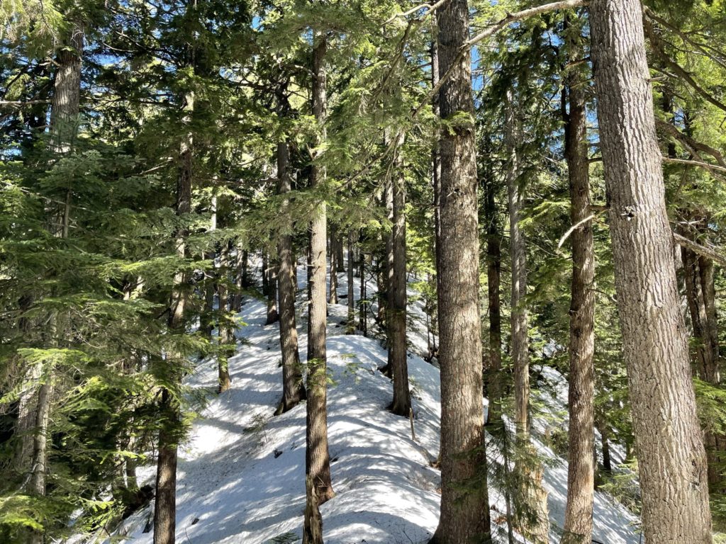
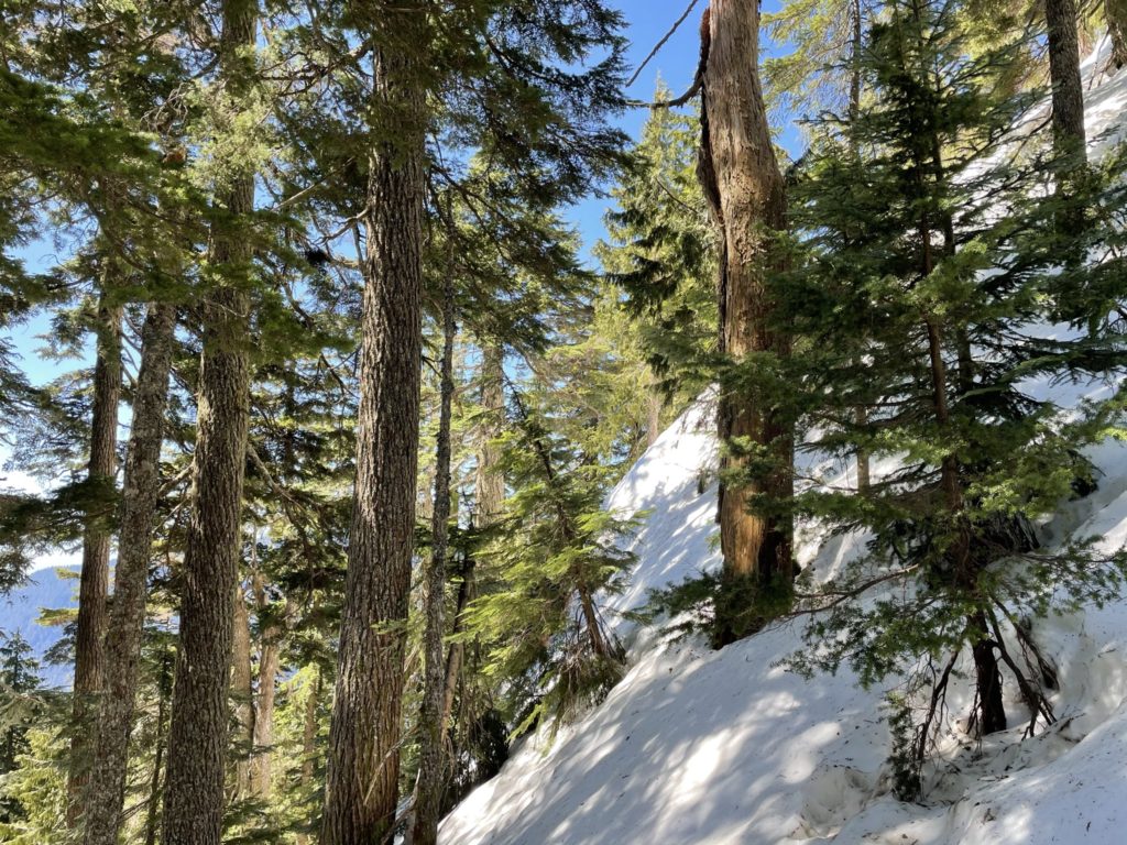
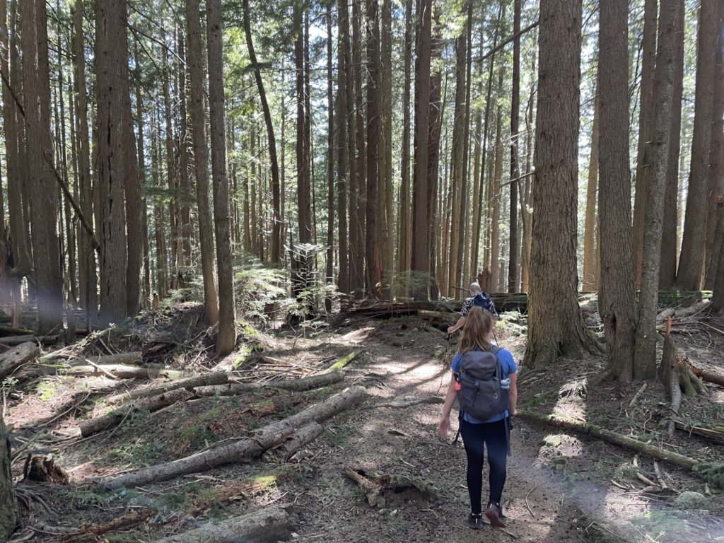
Laura, Mike and I had just finished climbing Lynn Peak and were now on our way to the final objective of South Needle. While there were a few tracks from South Lynn Peak to Lynn Peak, there were non what-so-ever towards South Needle. None of us brought snow shoes, but thankfully the snow was firm enough in the woods. Just north of the Lynn Peak summit, the route flowed down a steep snowy forest slope. We picked a line that avoided some micro terrain and made it down to a mellower ridge after losing ~100m of elevation.
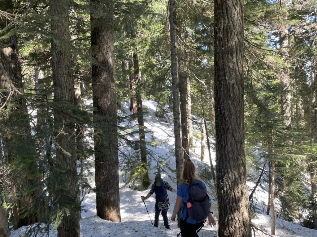
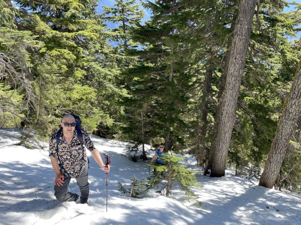
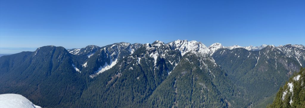
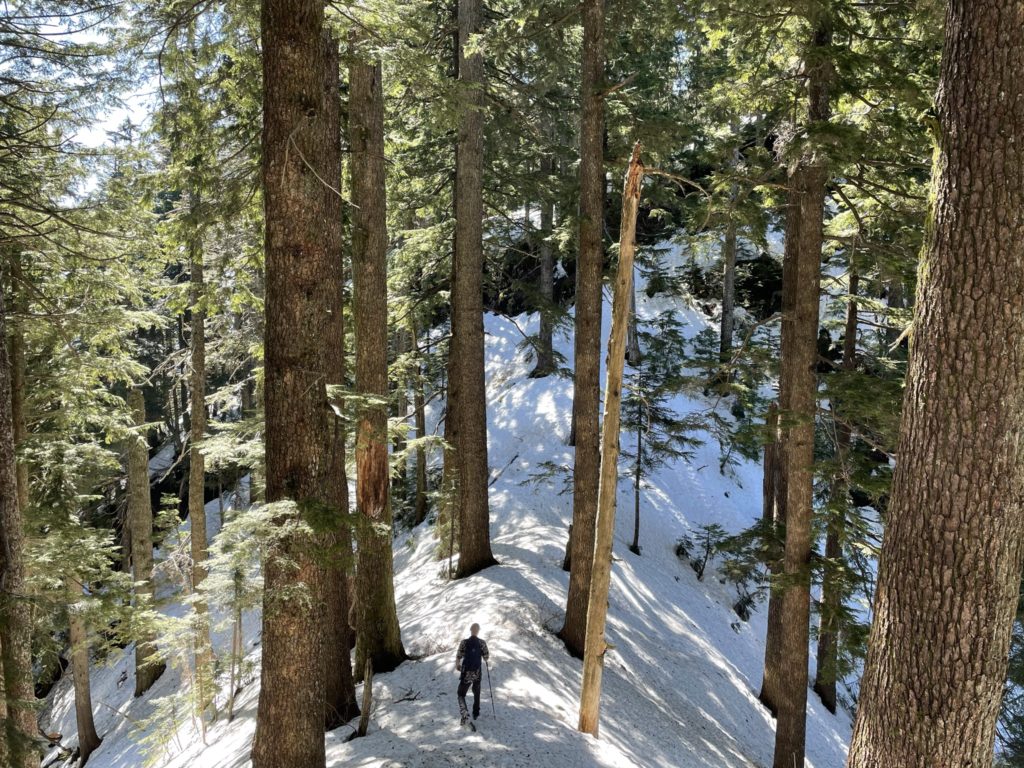
Along this ridge there was sporadic flagging that we were able to follow until we met up with the trail junction that goes down to Seymour Valley. We passed the junction and then started our way up a steeper slope towards the summit ridge. We lost the flagging part way up the slope and then just picked a reasonable line straight up through the woods. At around 1010m the ridge flattened out again and continued on until running into a cliff band that blocked our descent to the next ridge. Doing a quick check of the GPS I discovered we were ~20-30m too far West of the trail. After a quick course correction, we found a steep snow line that skirted around the cliffs and linked back up with the ridge again.
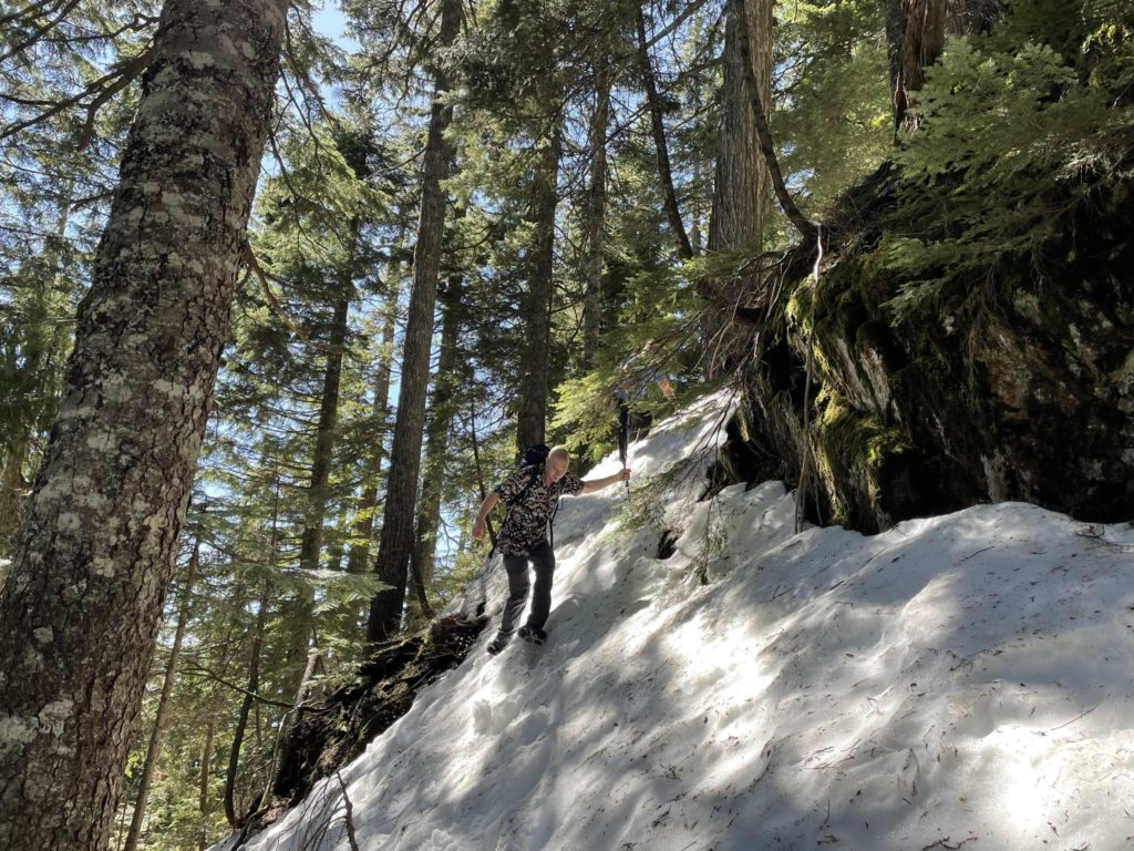
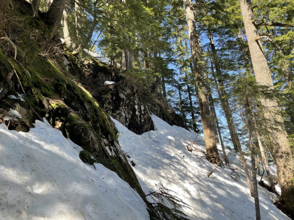
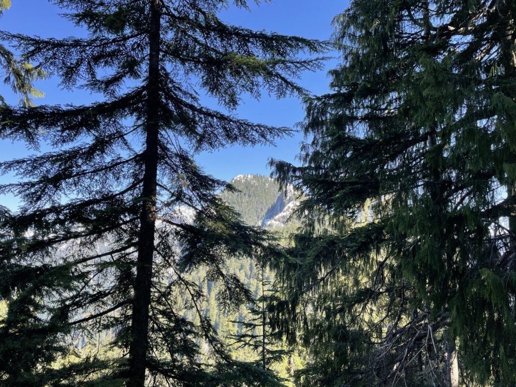
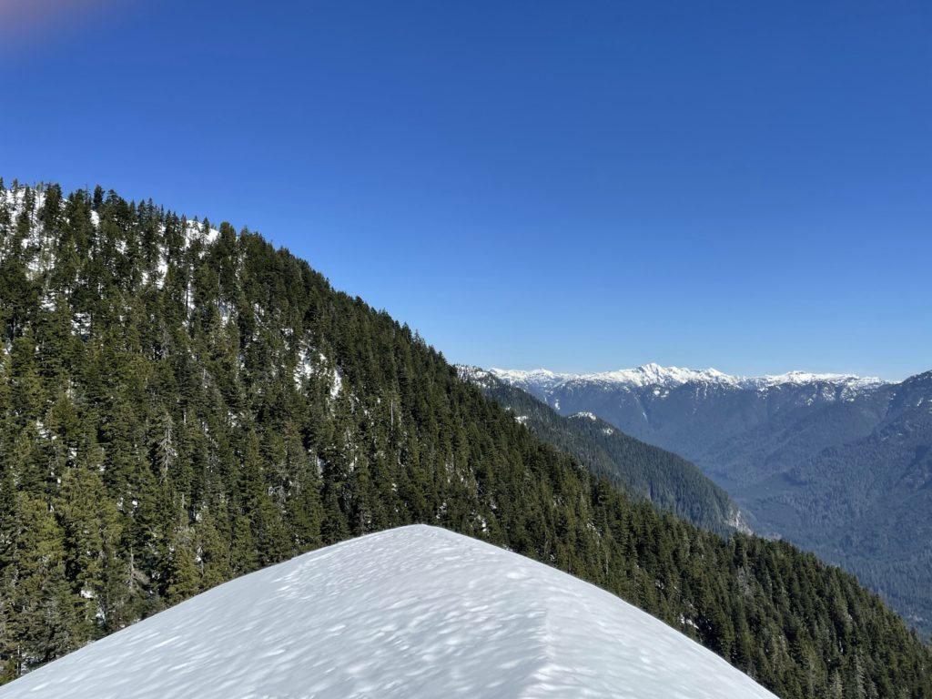
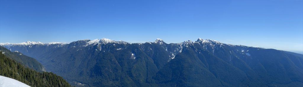
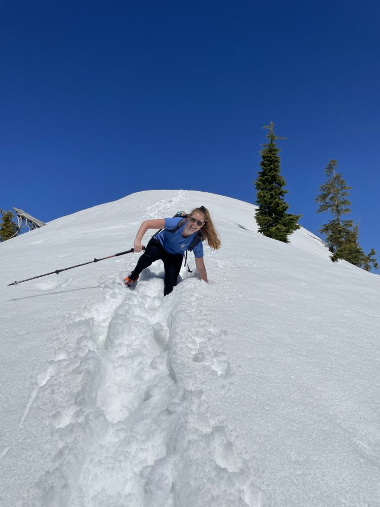
On either side of the narrow-ish ridge was steep forest and snow which you likely didn’t want to venture too far down. We pushed on past the narrow ridge and up through the woods again. Here the snow started to get steeper than it had anywhere else on the route. The snow was a nice consistency for climbing though and we made light work of it. At about 1060m, the snow reached it’s steepest point, but was still very manageable. The trees were starting open up and as a result the snow was getting isothermal in many sections. We climbed up a bit further until reaching the final summit ridge. On the South side was a small cliff band and steep woods and on the North side was no fall zone with huge bluffs. I spotted a line directly on top of the ridge that weaved through a few small trees out of the danger zone.

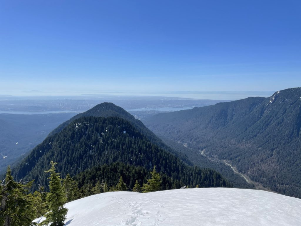
We pushed up towards the trees, but here the snow was extremely rotten and more than one step resulted in sinking up to my hip. After finding a few solid footings I made it to the trees and pressed my way through the branches before popping out on the last snow pitch to the top. Here the snow was beaten by the sun and on a narrow ridge so I was a little concerned about snow stability, but, as I walked, it felt firm enough. Another 20m or so up and I reached the top. Laura and Mike followed up in short order. I didn’t wander too far in either direction as I couldn’t see if we were near big cornices or otherwise sketchy terrain. All I could tell was that it was steep and cliffy all around us. Looking back on my GPS/topography I would later see the summit was still another 10-15m ahead, however with the snow we certainly were standing on the highest part. I never know how to count such summits, if they’re different in the winter vs. summer, but I still consider it the top for my purposes.
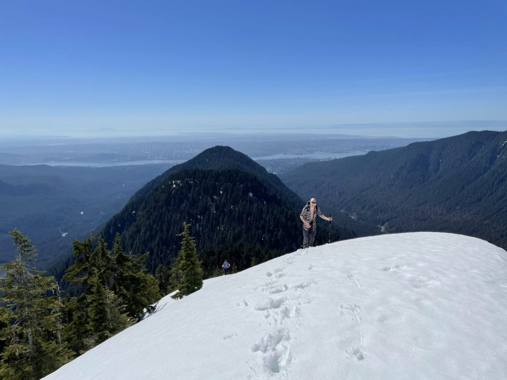
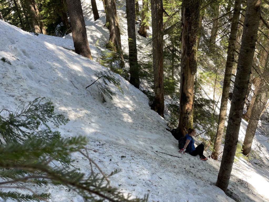
With snow only getting warmer, I made the decision to get us off the ridge after a few quick photos. We descended back down our original tracks to the trees/ridge. We had to leverage some tree branches to get past the sketchiest section of isothermal snow and then we were back on firmer ground. There it was a fast pace down the slope to the next flat section. Back on safer ground, we paused for lunch and hung out another 15 minutes.
Afterwards, we packed up and made the long plod back to the car. On the way back, we had a near miss with Laura slipping down one of the steeper snow slopes. Thankfully the snow had warmed up considerably and just digging her feet in was sufficient to stop. From there it was a mostly uneventful affair back to the car. However, somewhere just beyond Lynn Peak I had the unfortunate instance of tweaking my knee which slowed me down considerably. Thankfully, we had lots of day light and I could still use it, albeit with some pain. After about 7 hours 20 minutes of hiking we finally reached the car.
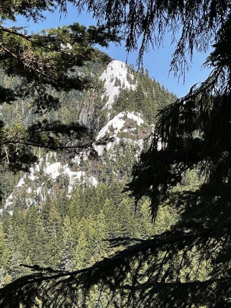
Overall, a super fun hike with fantastic views. I think in the summer time, it might not have provided the same level of fun so I was glad to get this done while there was still snow. Adding to that it seems to be rarely ascended in the Winter/Spring so it was nice to be able to provide more beta on the Spring conditions.