Elevation: 1,493m
Distance: ~24km
Total Time: ~9 hours
Date: March 23rd, 2019
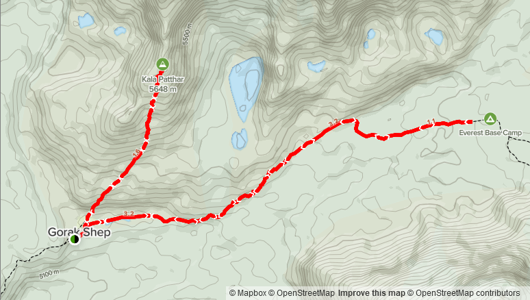
For those doing the Everest Base Camp trek, Kala Patthar is very popular end destination that provides spectacular views of Everest and its surrounding mountains. While it’s not considered a proper mountain, it’s a worthy objective nonetheless. The usual approach to the final part of the “EBC” trek is to spend the afternoon going to EBC and then the following morning hiking up to Kala Patthar, spreading the two trips over a day each.
My dad and had decided we might as well try and do the base camp and Kala Patthar in a single day so that we’d only have to spend one night in Gorak Shep. We had done the trek without any guides, groups or porters and so that meant no slow group members to wait for.
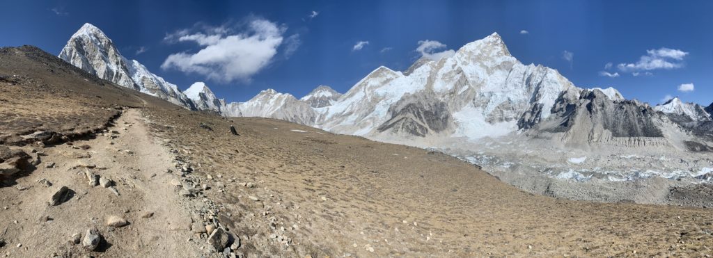
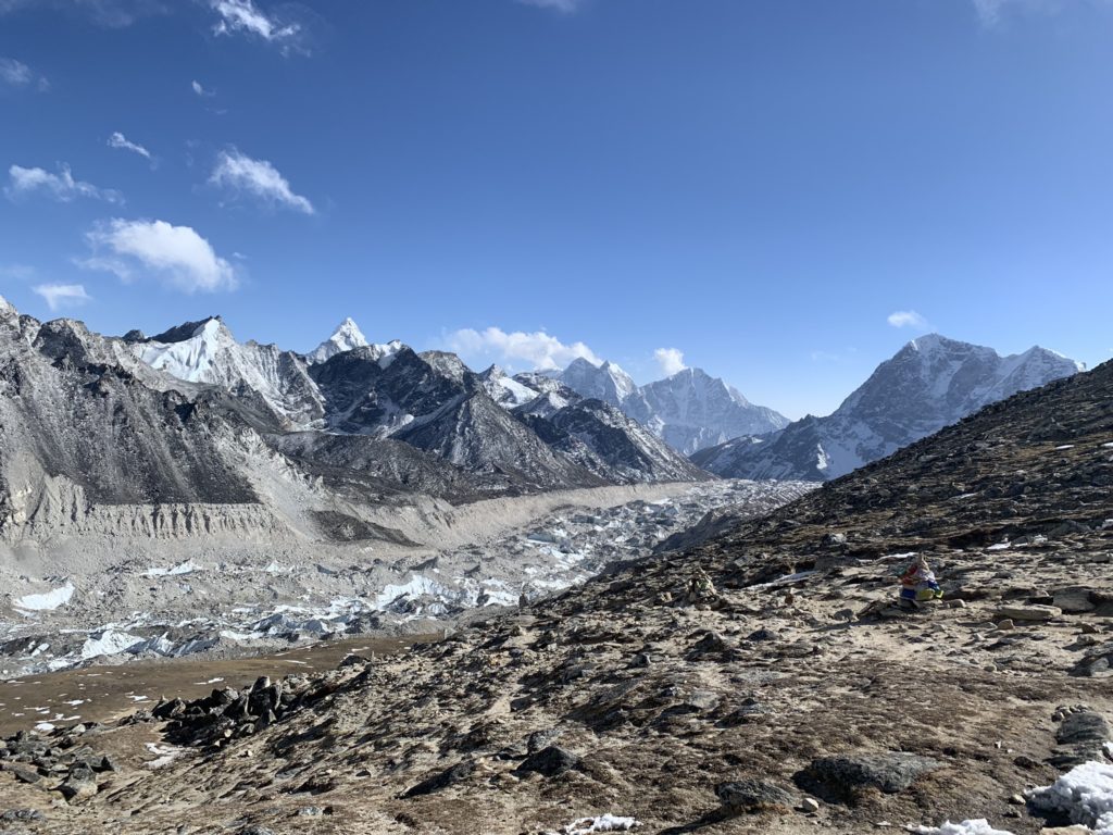
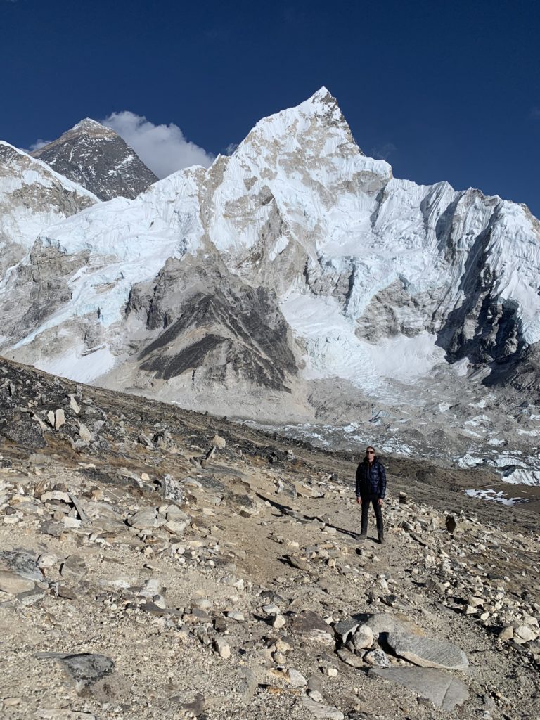
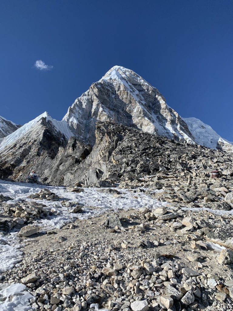
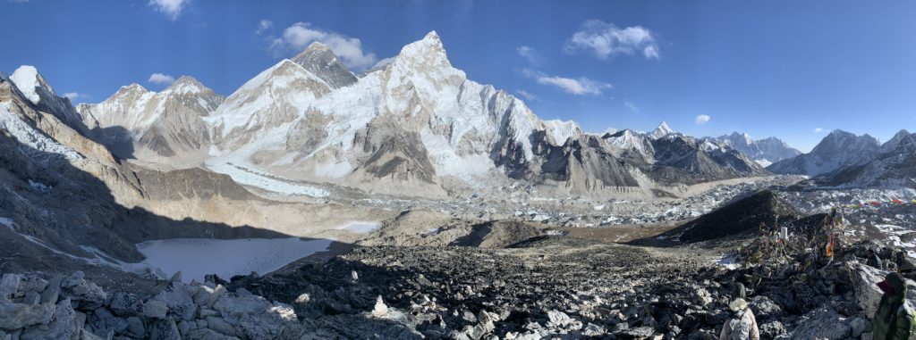
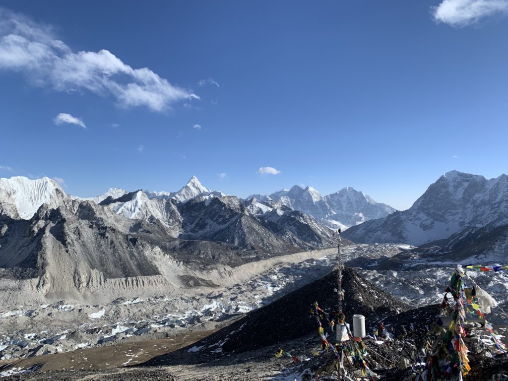
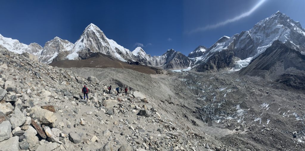
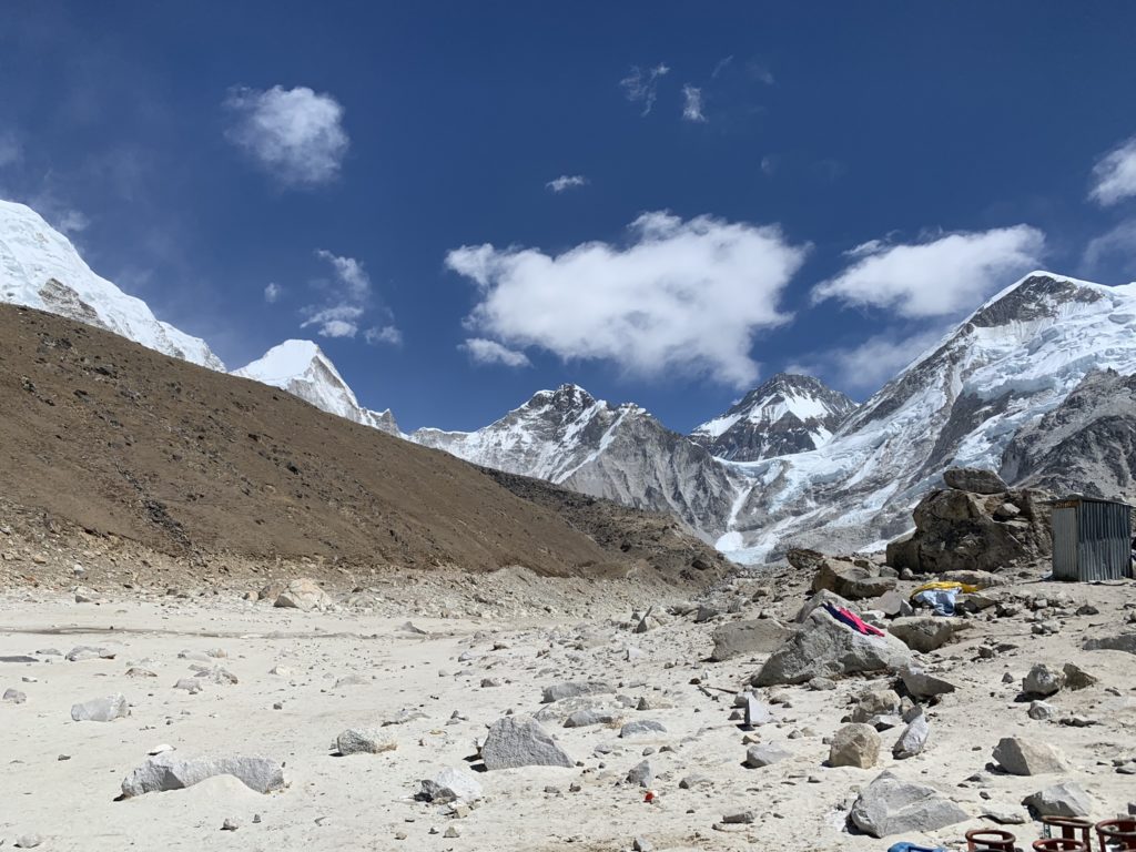
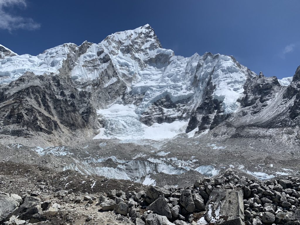
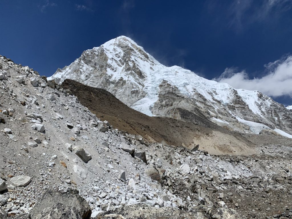
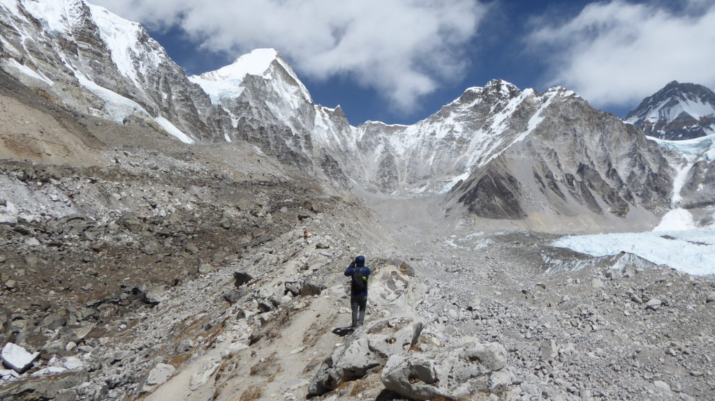
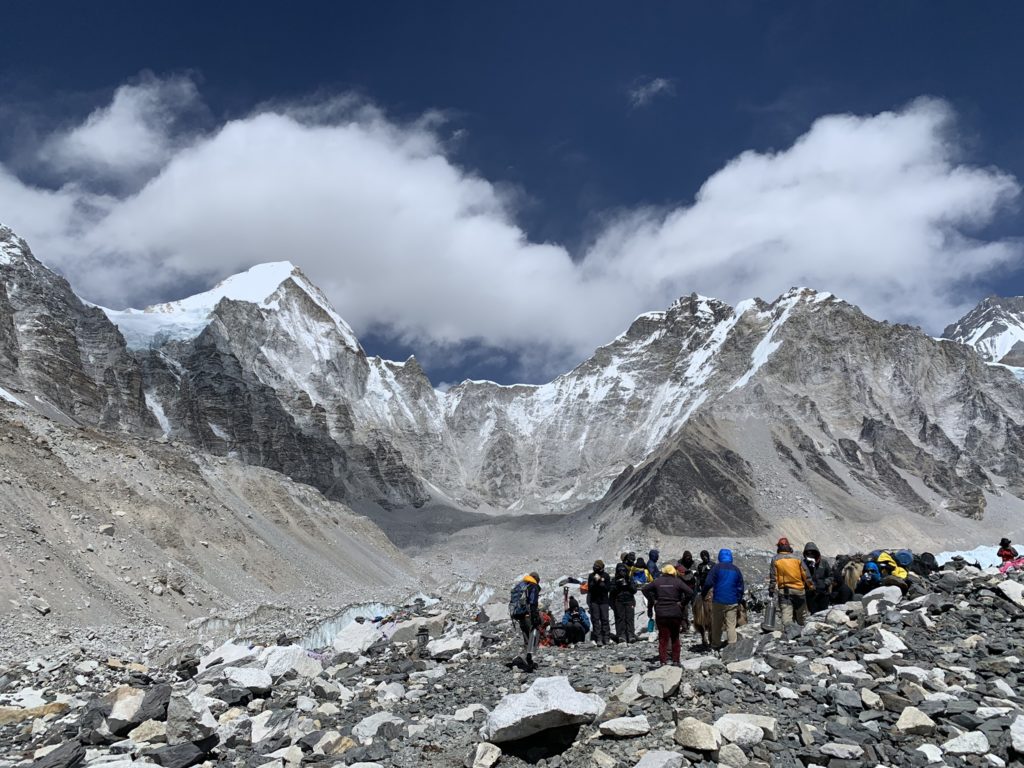
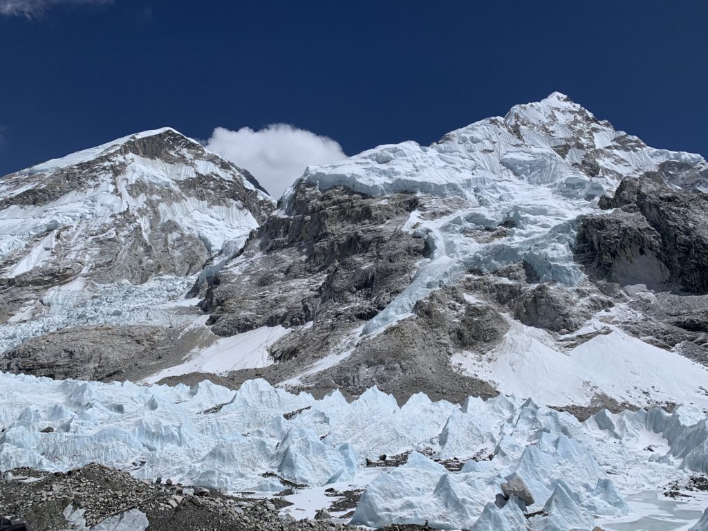
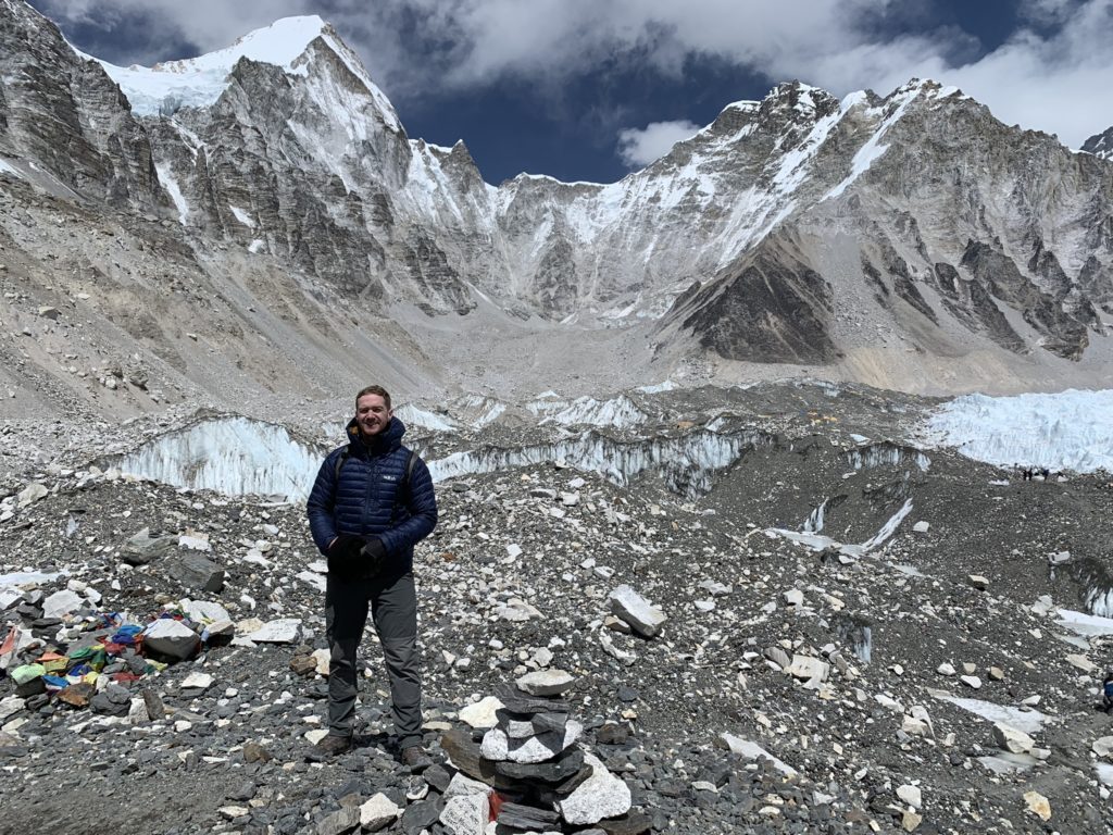
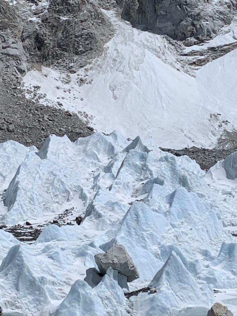
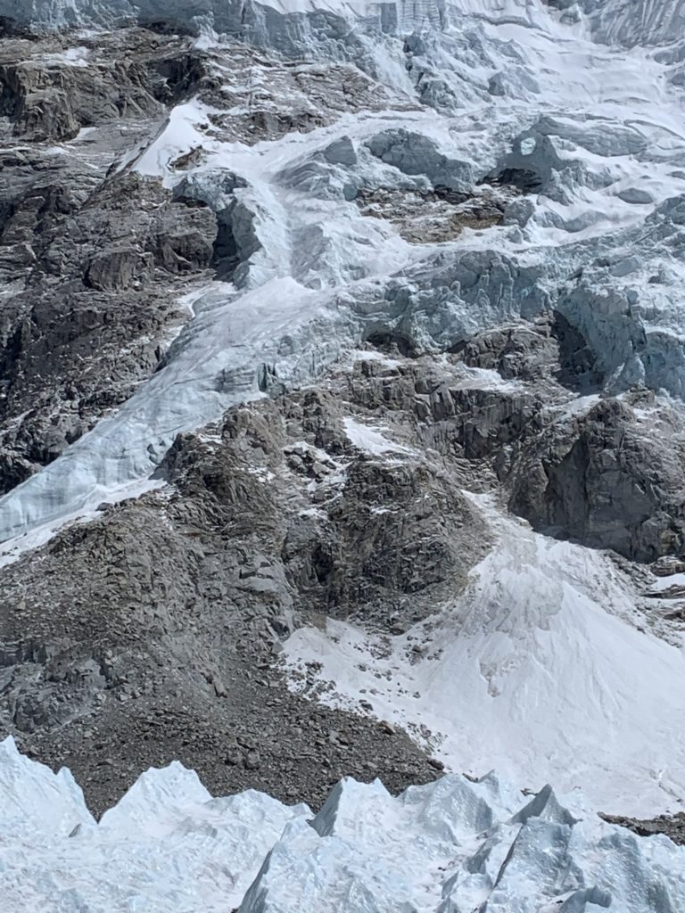
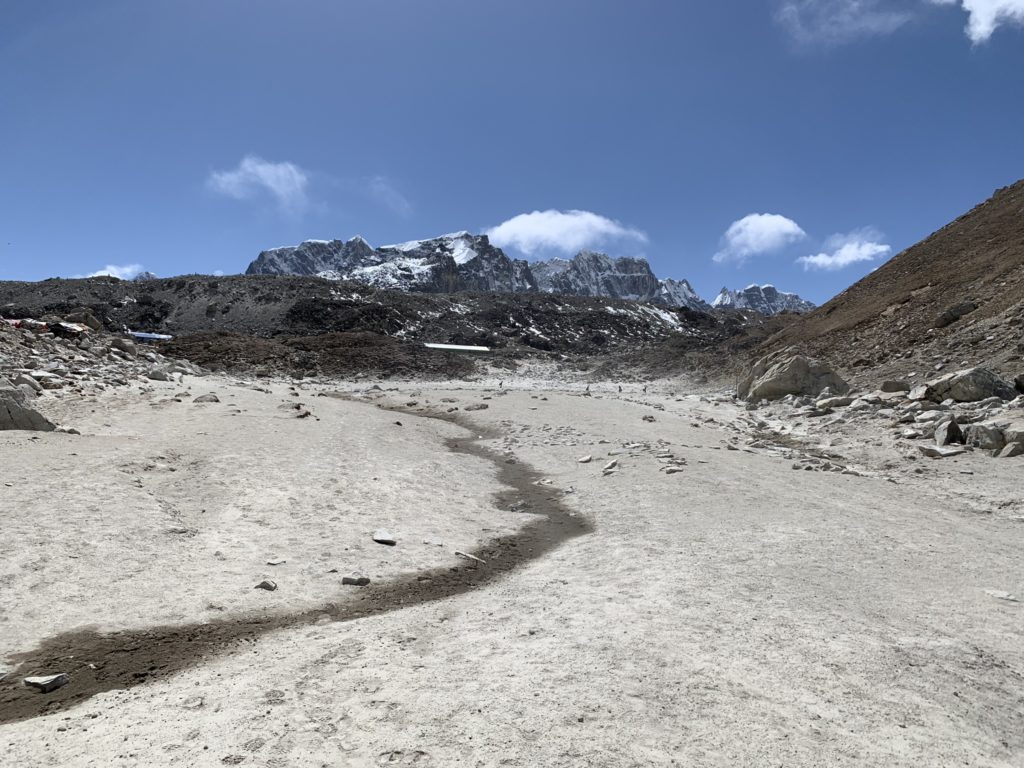
On the morning of the 23rd, we set out from Lobuche to the base camp under a sunny, clear sky. There were strong gusts running down the glacial valley that added an extra element of fun to the trip. For the majority of the morning we followed along the well-trodden path on the left flank of the glacier until we reached a turn towards base camp on the glacier itself. Once we stopped at the official base camp marker, it was non stop photos and taking in the views. One peculiarity I’ll call out is that the actual base camp is located several hundred meters away from the base camp “marker”. I surmise this is done so that throngs of tourists aren’t wandering around various expedition’s carefully setup camps.
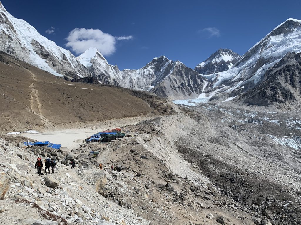
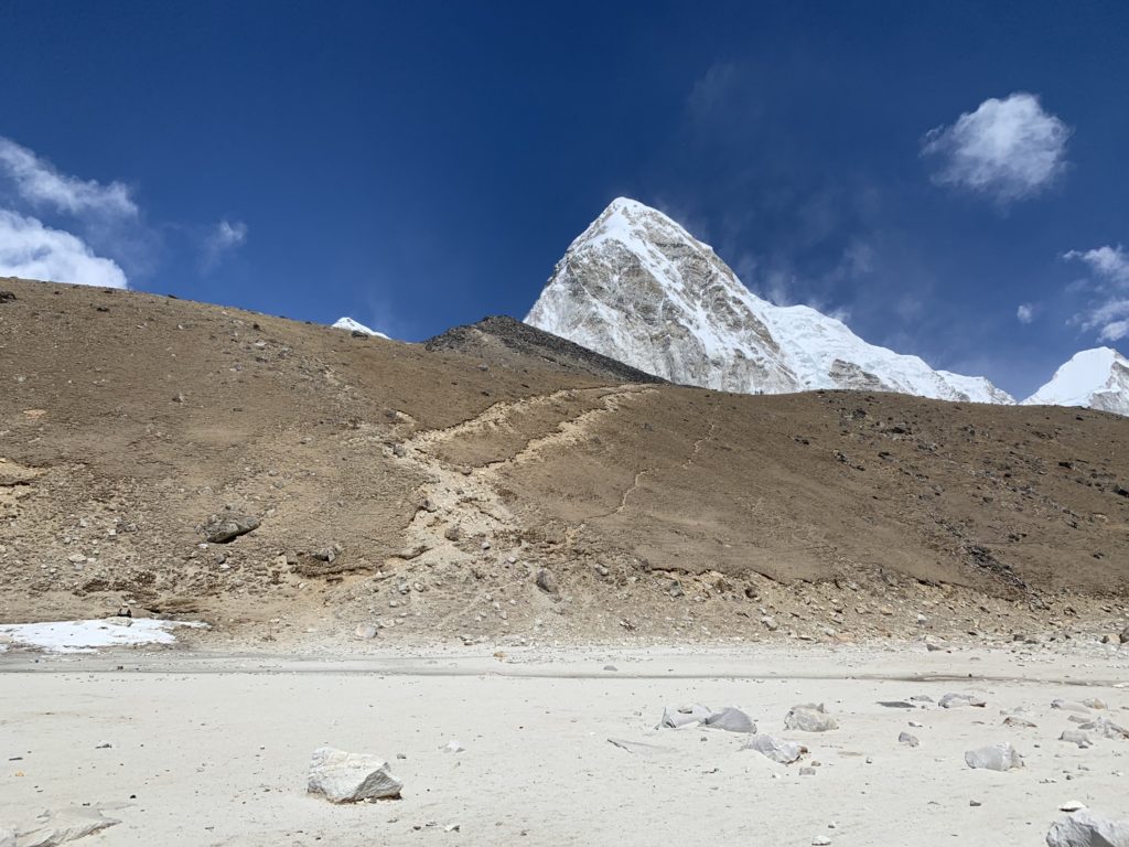
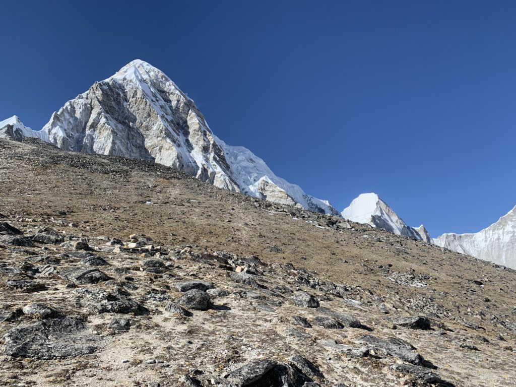
After taking in our fill of the landscape we made our way back to Gorak Shep for a brief lunch break. We hung out for an hour or so and then started the long trip up to Kala Patthar. The elevation gain is only about ~450m from Gorak Shep, but at a starting altitude of ~5200m, it makes for a slow grunt up to the top.
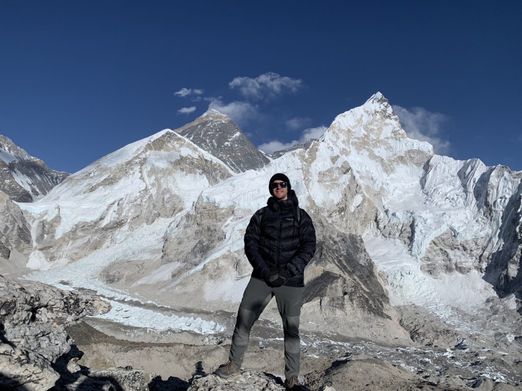
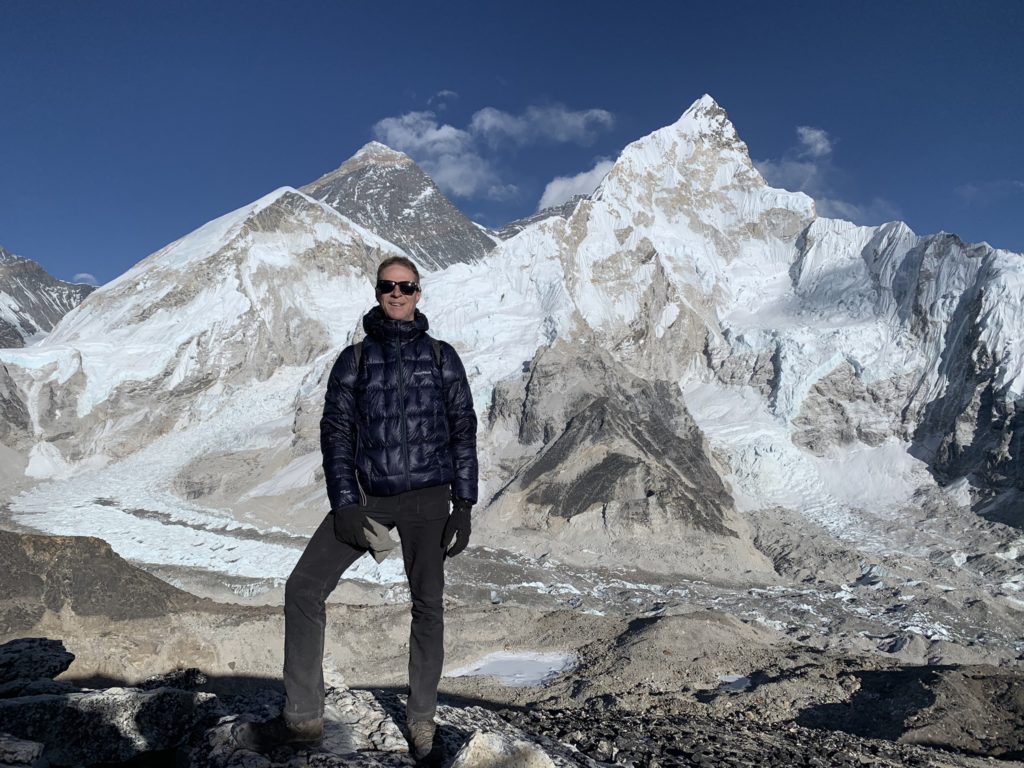
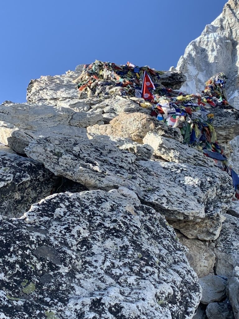
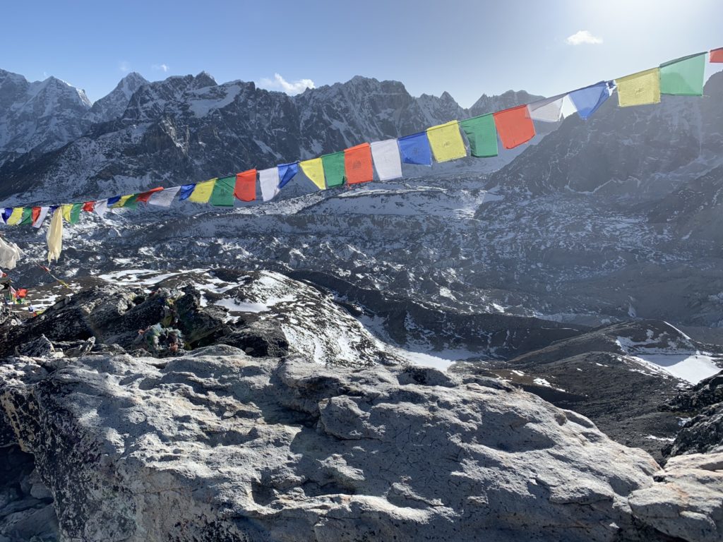
The route up to Kala Patthar is well established and so we just followed the trail, pausing often to take photos. The last 50m or so runs through a boulder field with a final exposed scramble up a narrow ledge to the “top”. My dad and I took turns scrambling up this section and then paused at a safer spot just below, to fill up our camera’s storage space. After 30 minutes or so we made our back down to Kala Patthar with the sun starting to set. We followed that up with a rough final nights sleep at Kala Patthar and then retreated down the valley where warmer temperatures and denser air awaited us.