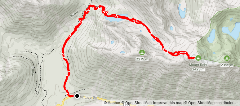
Distance: 17.53 km
Elevation: 1,224 m
Time: 6 hours 48 minutes
Date: March 20th, 2021
For this weekends adventure, I was hoping to push my level a bit further and build more experience around avalanche terrain with my friend Jacob. The north shore was calling for considerable to high avalanche danger, so I looked further north and found the terrain around Whistler and Pemberton was low to moderate. Adding to that, a low pressure system had moved in, resulting in rain and clouds all the way out to Whistler.
The weather looked fair in Lillooet, so I initially considered finding an objective there. However, after looking at some of the mountains around Duffey Lake and Joffre Lakes, I found countless summits that looked too good to pass up. I looked into Mount Caspar and Vantage Peak as options, however both appeared to involve more exposure to avalanche terrain than I was prepared to test. That lead to me finding Mount Rohr, just North of the highway.
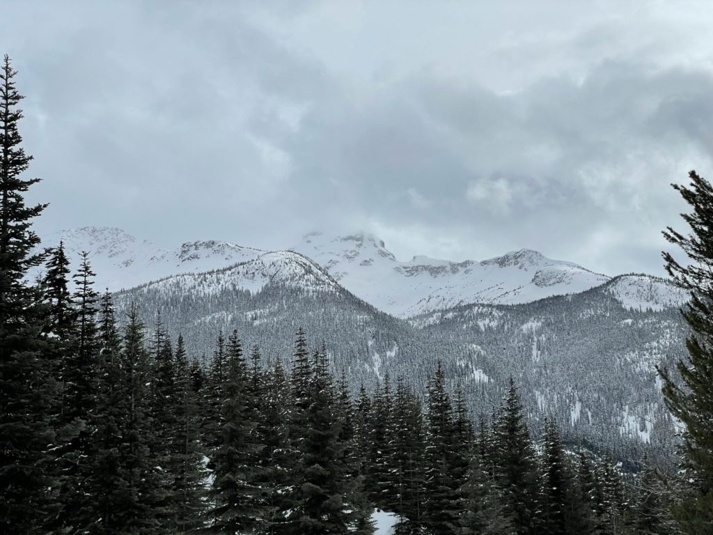
At 2423m, Mount Rohr stood out as an excellent objective. It had exposure to avalanche paths along the route and certain small sections to the summit were steep enough to be considered avalanche terrain, but the majority of the route was simple terrain or could avoid exposure with careful planning. It also boasted amazing views of the Joffre lakes group, Cayoosh Mountain and many others. With the peak picked out, I let my friend Jacob know and we made a plan to leave Vancouver by 5:30am, giving us sufficient daylight to work with.
On the Saturday, we left Vancouver in the midst of dark skies and a heavy down pour. The rain didn’t let up the entire drive, until a few km before the trail head parking, where the elevation was high enough to summon snow. The forecast was calling for cloudy, but when we arrived there were still blue patches in the sky. It looked to be a promising day.

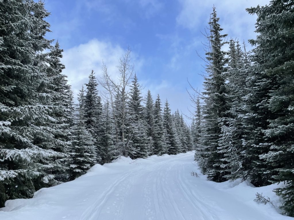
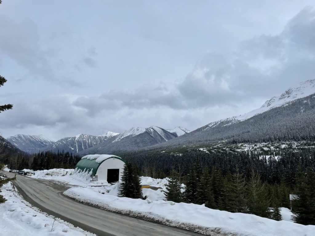
We put on snow shoes right away, as the snow was several feet deep already at the trail head. Thankfully, this area is a very common ski touring objective and the snow was already well packed down. We headed off down the well-worn FSR towards Rohr Lake, picking up a good pace thanks to the “highway-like” conditions of the snow from the many ski touring groups coming in and out of the area.
At the 3km mark, the FSR split off: left for Wendy Thompson hut and right for Rohr Lake and Mountain. The blue patches of sky had also long disappeared at this point and the tops of the nearby mountains were shrouded in the cloud layer. When we turned right for Rohr Lake, the grade steepened a bit and we started to ascend through the forest. Another 1.5km later and we reached the bottom of a steep boulder field. A few ski touring groups had already carved a path through the terrain and so we simply followed the existing tracks up.
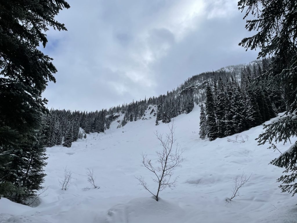
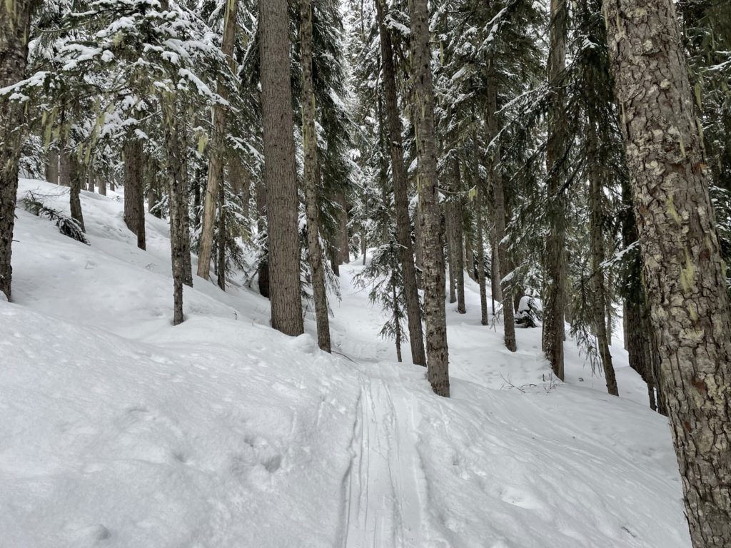
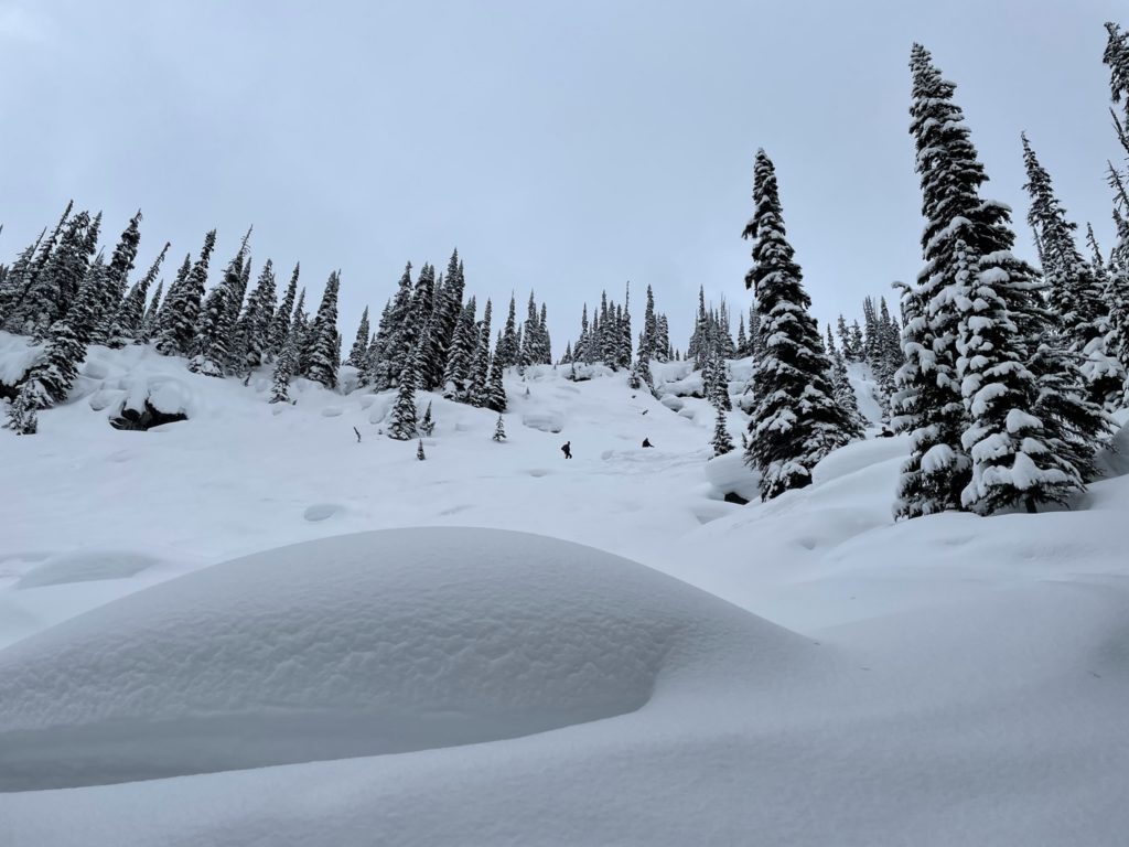
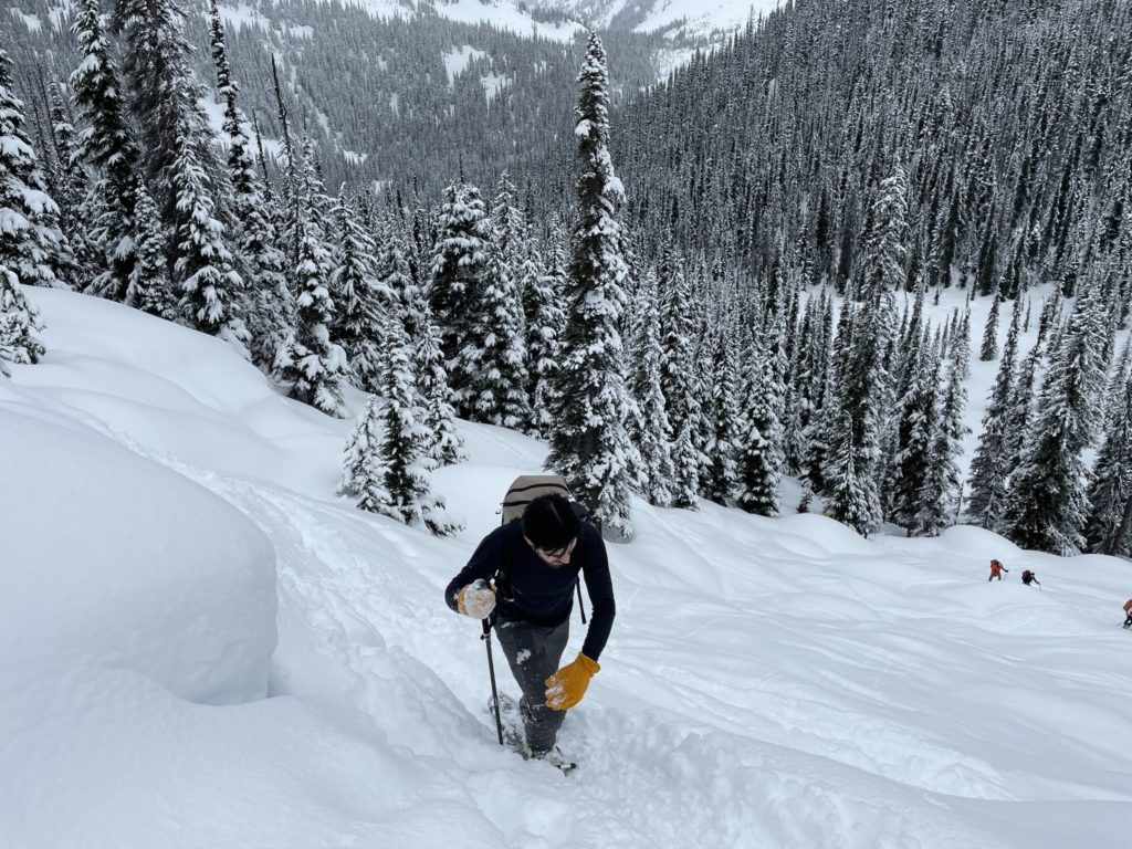
After a slog up the steep slope, we reached the base of Rohr Lake. I wasn’t sure what to expect for this time of year, but in the end the lake was totally frozen over with several feet of snow on top. As a result, we just followed the existing track directly across the lake and proceeded up to the next tarn. From here, the tracks ended and we started breaking trail on our own. Thankfully, the snow wasn’t deep and it was fairly trivial to push through.
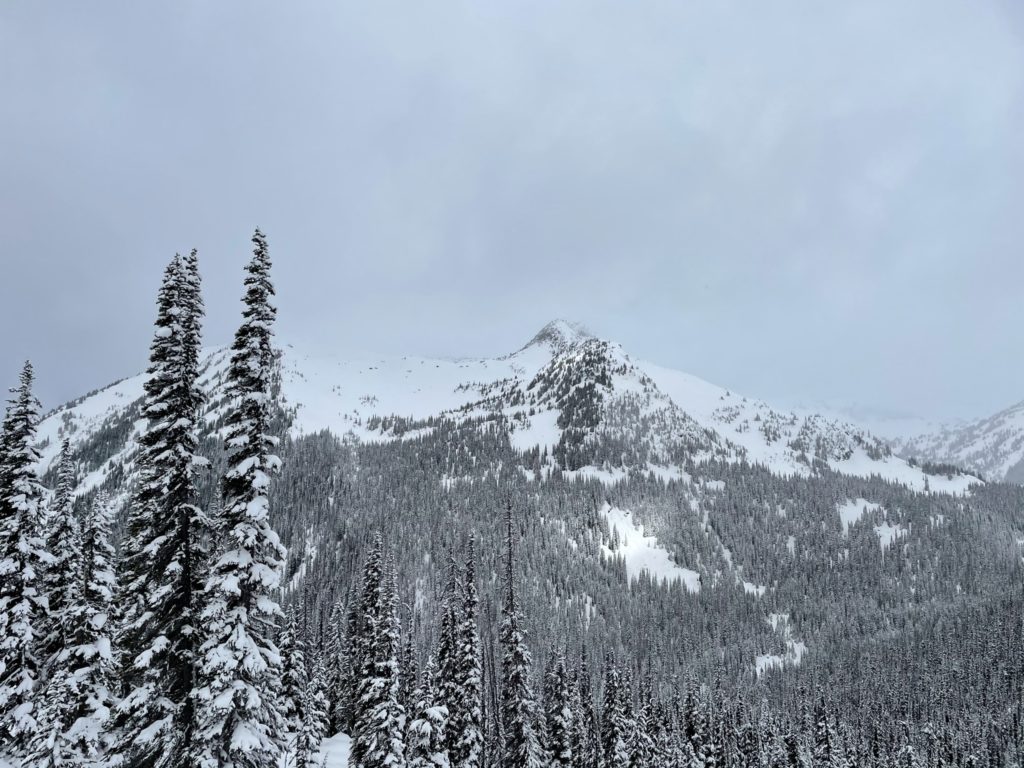
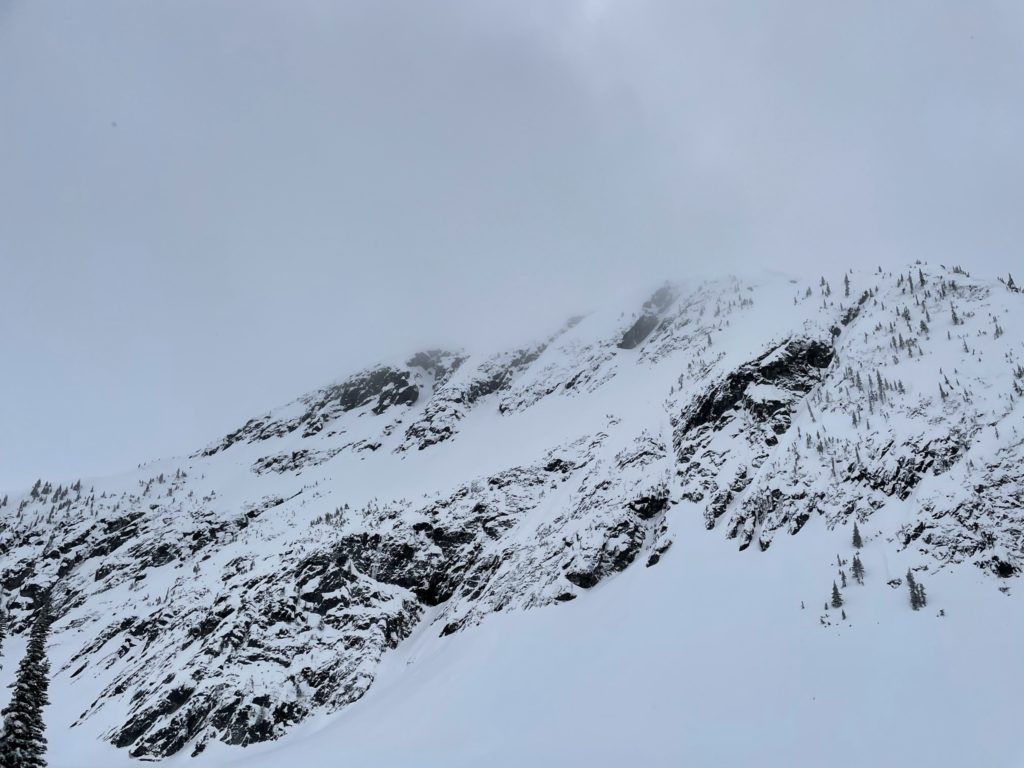
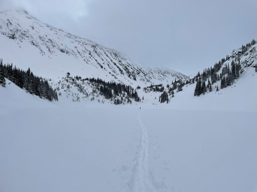
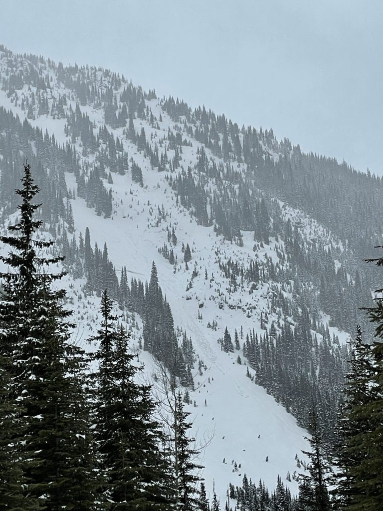
At this point of the route we reached what I would call a shooting gallery. The trail was flanked by large avalanche chutes on the left side and huge steep slope from Rohr ridge on the right. The route itself was quite flat for this section, so just a matter of not lingering near the bottom of the chutes and moving fast. At around 1900m in elevation, just after the second tarn on the map, the pitch steepened again with a long rolling slope of blank snow.
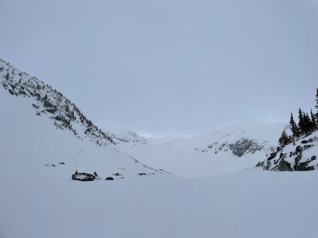
I was concerned about this slope being an avalanche hazard as it felt steep enough. However, I pulled out the measure + level app on my phone and found the slope was actually only around 22 degrees. With my concerns eliminated, we pushed on and I kept a mental note for the future about what ~20 degrees of slope angle actually looked and felt like.
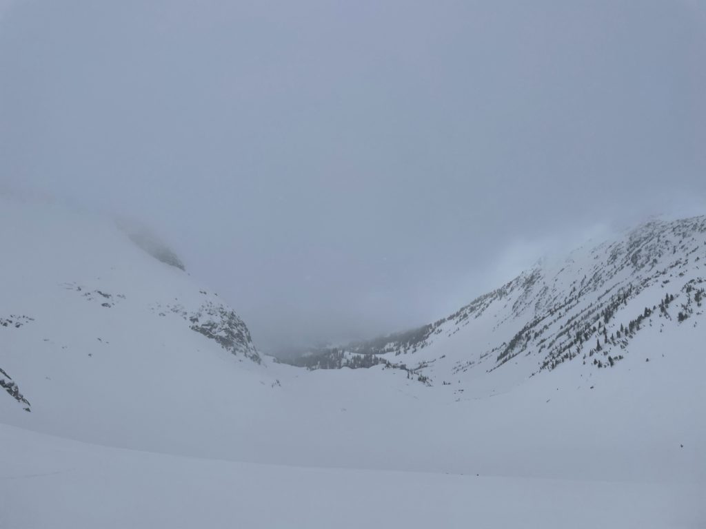
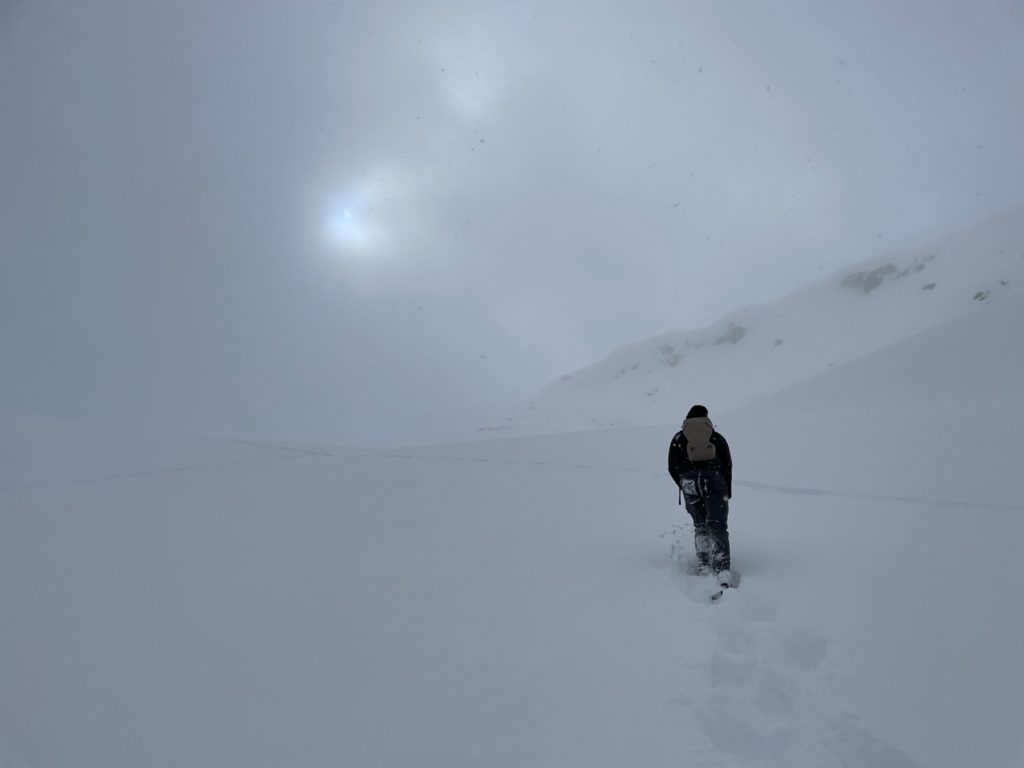
After climbing to 2100m, I could see the route started to funnel into a bowl of sorts with the ridge to Mount Rohr straight ahead. Here, more clouds started to roll in and the wind picked up. Concern grew between Jacob and I about visibility and the chance of wind slab creation with the high wind. With only ~300m to the summit though, we decided to push on. At about 2200m, we hit a wind scoured boulder field and picked a line through it as the snow was firm and easy to make ground on.
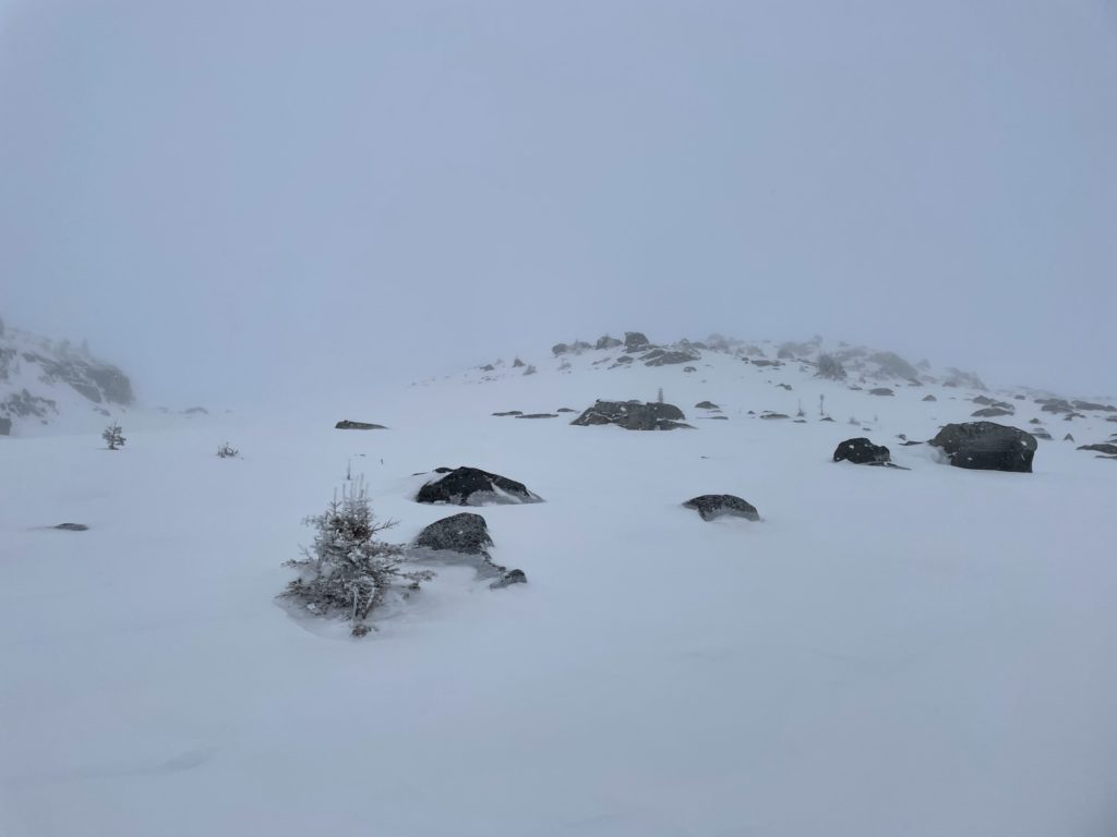
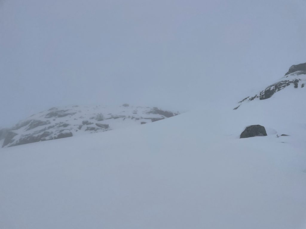
Topping out above the boulder field, the visibility was now nearing perhaps 40 feet at most. I had my GPS going and so we hopped from one visible rocky point to the next while maintaining our course. The snow was firm and the pitch moderate so despite the visibility issues, we felt comfortable enough. It wasn’t until 2300m or so that we hit a steep, unconsolidated pitch of snow. Above us was a rocky band and to our right was more steep slopes.
With minimal visibility and concern about wind slab formation or sliding down the slope, this was where I strongly considered turning back. It was too steep to push up to the rocky band and it looked too high to get up in any event. If we pushed further climber’s right, I was concerned we may end up on an avalanche prone slope. I confided with Jacob and got a re-assuring “let’s push on and see” and so with that, we continued climber’s right. Thankfully this steep section lasted another 30m at most and we were back on the safer ground of the wind scoured and rocky ridge line.
From here, we just picked a line through the rocks, checking the GPS frequently for course corrections. The steepness had faded to a more moderate pitch again and I felt some sense of relief. As I watched my GPS closely, we climbed over a few more steep, but small, rolls and finally topped out on the summit. Visibility was still 40 feet at most and the wind was blowing hard. I don’t have enough experience to gauge wind speed, but it was enough to cut through my insulated leather mitts and numb my hands.
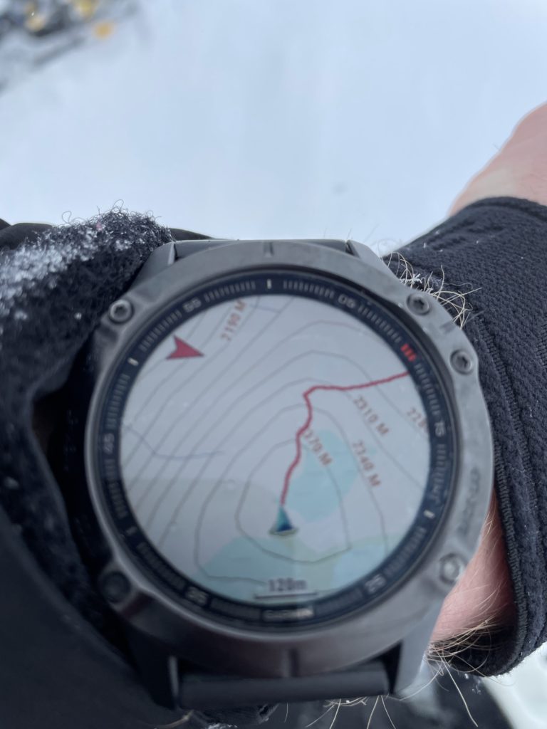
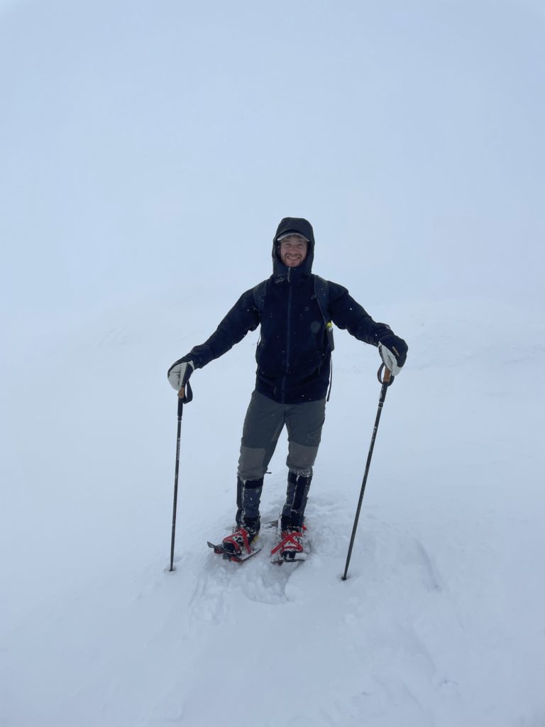
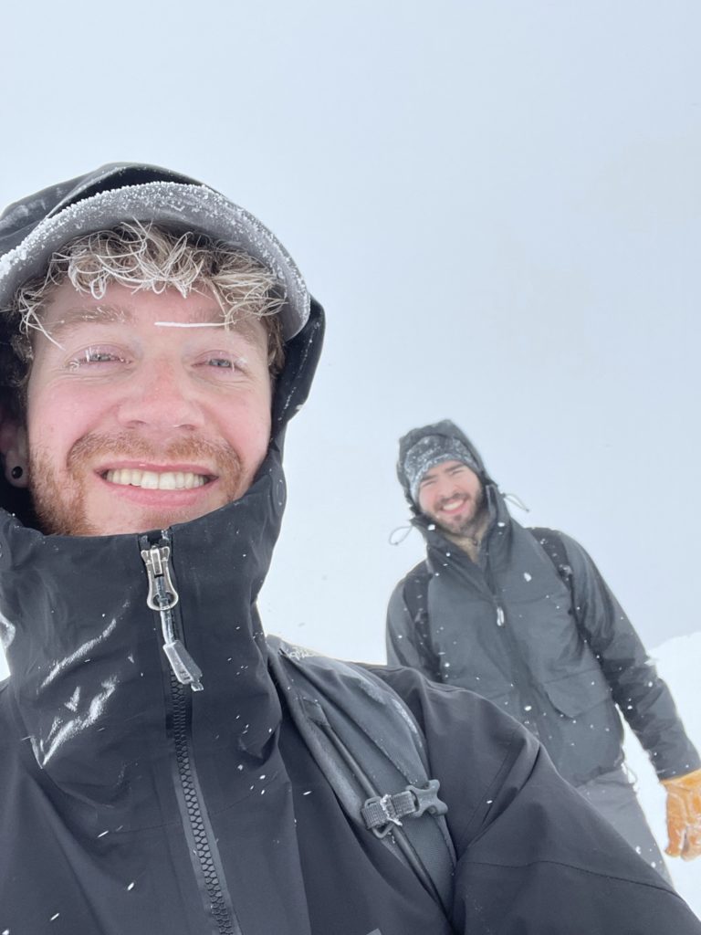
Jacob and I took a few photos of each other at the summit and started down as the chance of seeing anything but cloud was near zero. Only a few moments later and the visibility dropped further. We could now only see perhaps 10-15 feet ahead and I was having an extremely difficult time tracing back our steps. It was a total white out and completely disorienting. My heart sank a bit as I realized we were potentially in deep shit.
I took a few moments to gather myself and gained some comfort in knowing that my GPS watch could keep us on course if we lost our tracks. I was still concerned about taking us off a cliff or into unknown terrain as the accuracy on such devices is certainly not pinpoint. Sure enough, not more than 40m from the summit, I lost our tracks. We couldn’t see much ahead, so I consulted my GPS and to point us in the right direction. We’d take another 30-40 steps and then I’d have to reorient ourselves again and occasionally locate scant traces of our tracks only to lose them again shortly after. This was a pattern that repeated itself several times down the summit. It was amazing to me that, in such short spans, we could already be drifting course heading South instead of East or some other incorrect direction.
Around 2350m, I found a more solid line of our tracks and realized we were now back on the steepest pitch before the summit. By this point, a ~5cm wind crust had started to form over the loose snow. This further added to the tension, but we continued on, slipping a few feet down the slope at some points. After some tense route finding, we were back on the more moderate slopes around 2300m. I couldn’t locate the rocky outcroppings we had followed on the way up, so I had to check the GPS frequently, but we were now on safer ground.
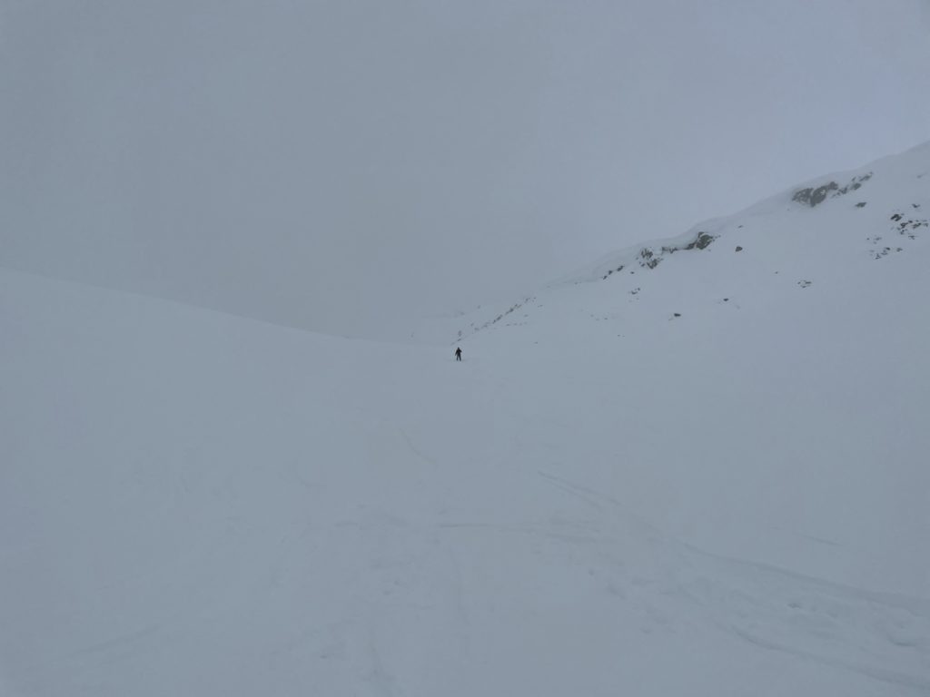
Somewhere around 2250m, we spotted a pair of skiers preparing to go down. I felt another sense of relief as I knew were out of the most harrowing part of the journey. We linked up with them briefly and they told us the visibility was better perhaps only 100m down. They turned down the slope and started their way down. Jacob and I simply followed their tracks back down from there. We plunged down the powdery slope, out of the clouds and back to the long flat valley I had labelled the “shooting gallery”. From here we continued on until we reached the end of Rohr Lake.
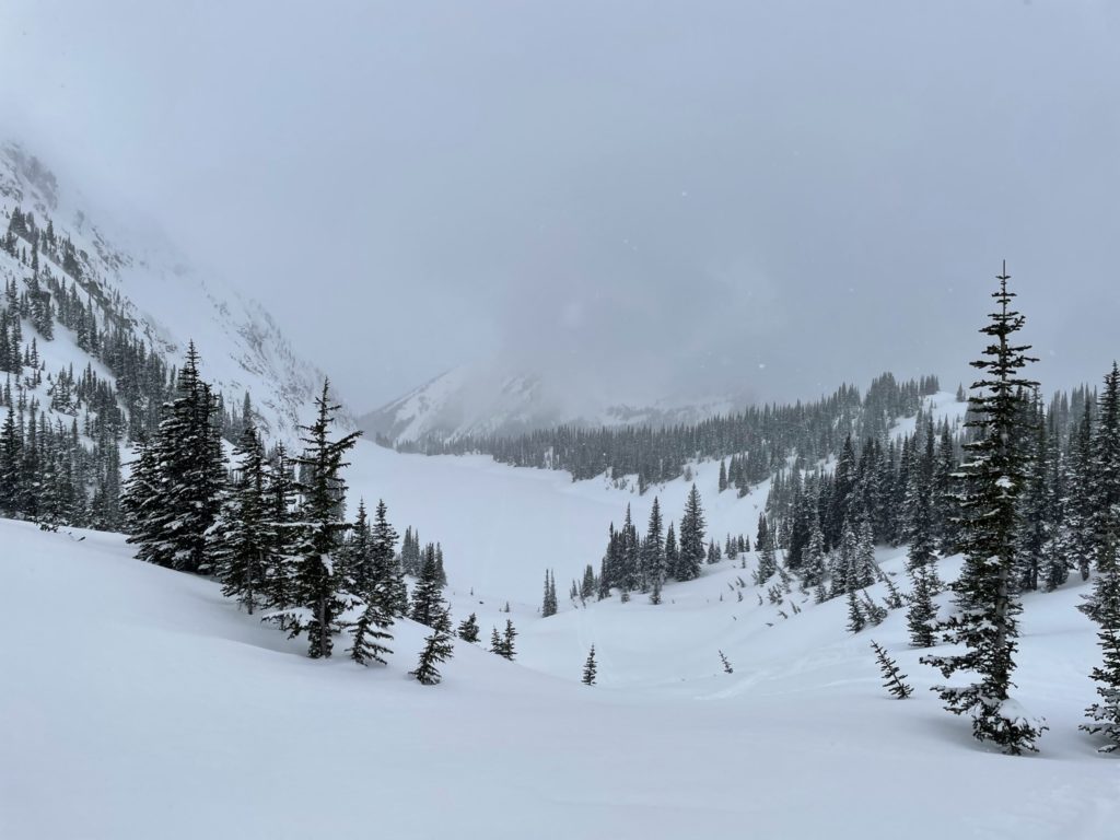
Finally, out of the clouds and the exposure to avalanche paths, we took a long break for lunch. We both agreed, that was not an enjoyable experience at the summit and I had some time to reflect on what I would do differently in the future. I boiled some water for a dehydrated meal and then headed back down the steep boulder field. It was quite fun heading down the powdery slopes and it wasn’t until the the bottom that the snow started to firm up again.
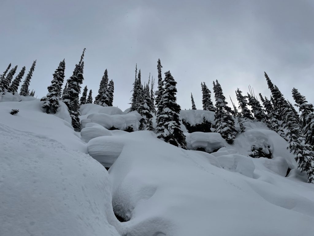
From there, it was a basic plod along the FSR back to the car. We made it back to the parking lot for ~4:00pm and headed back to Vancouver shortly after. On a normal sunny day, I imagine this summit would have been amazing. For the conditions that we went up in, it was a more scary affair. There was some solace in knowing that both Jacob and I could stay calm in such situations, but looking back on the situation: I don’t think we should have continued after the visibility dropped so severely. All in all, it was a good adventure and I built some valuable experience that I will take forward for future climbs to come.