
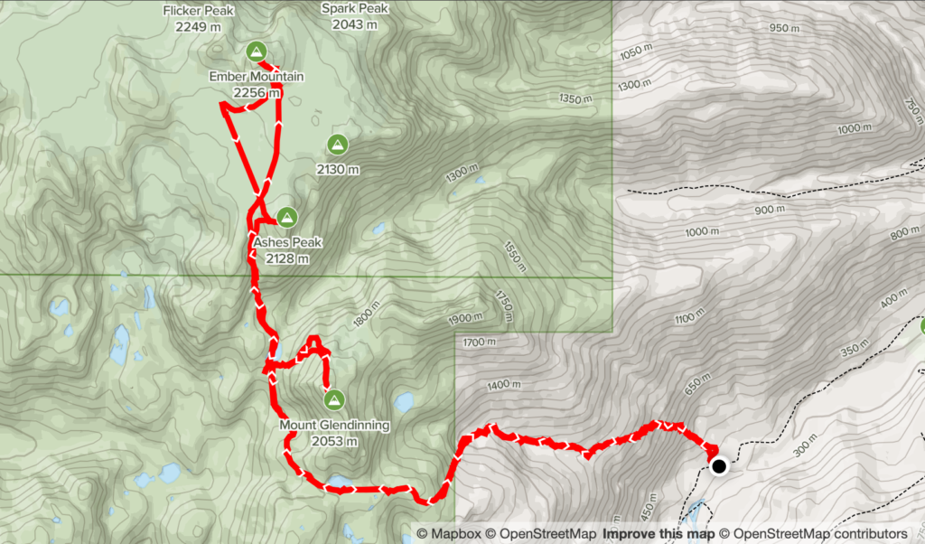
Stats include overnight stay and all 3 summits
Elevation Gain: 2898m
Distance: 26.03km
Total Moving Time: 17 hours 40 minutes
Date: May 21st, 2022
Leading up to the long weekend I had three full days to take advantage of and the forecast was looking promising for the first two days. I decided to reach out to Steven as we hadn’t done a trip in awhile and I wanted to see if he’d be keen on Mount Adams or Jefferson. Unfortunately, he’d done Jefferson already and Mount Adams is best done later in the year when the road is opened up. However, he countered with a two day exploration of the remote Fire Spires and I was all in on the plan. It’s been my goal this year to get out on more remote objectives and this fit the bill perfectly.
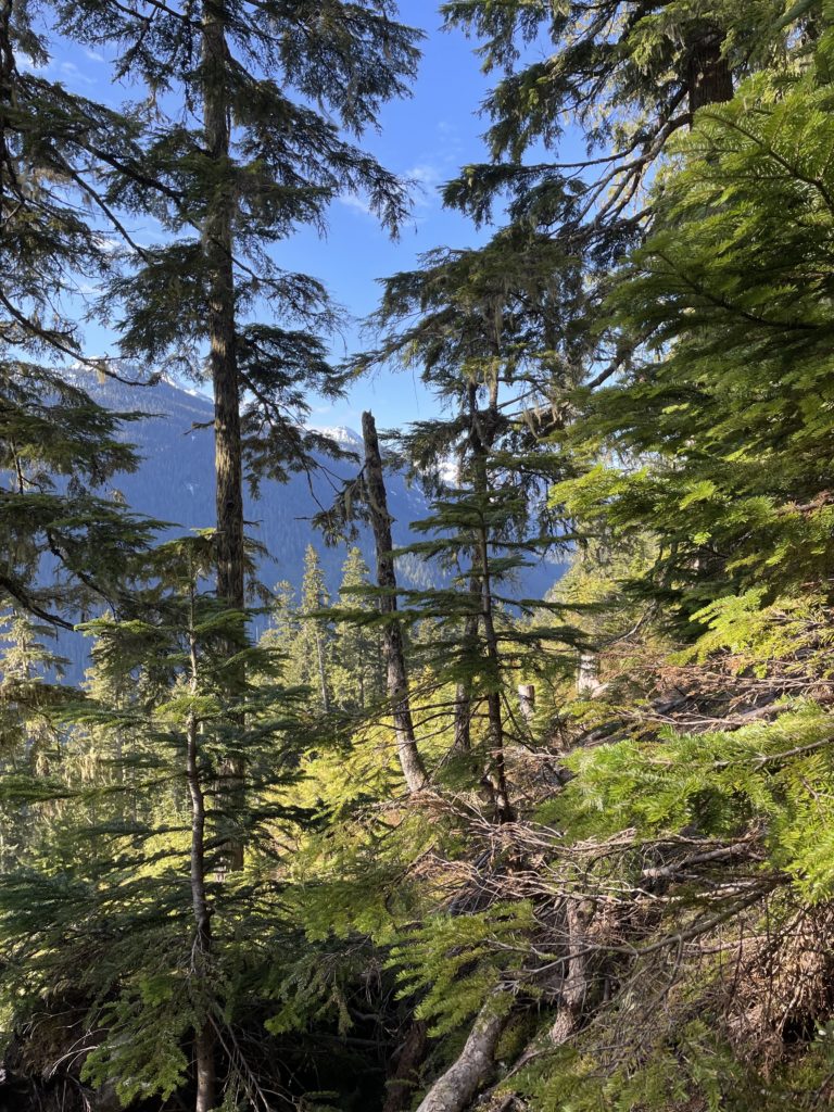
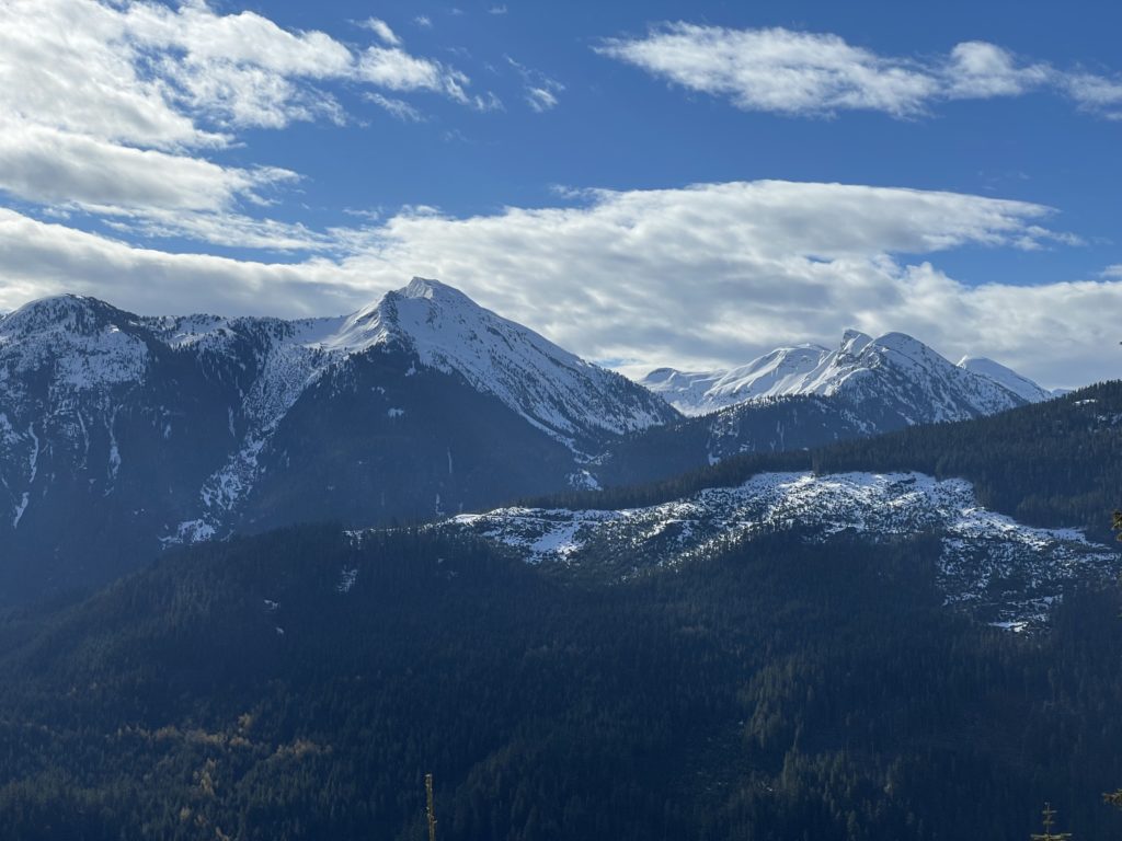
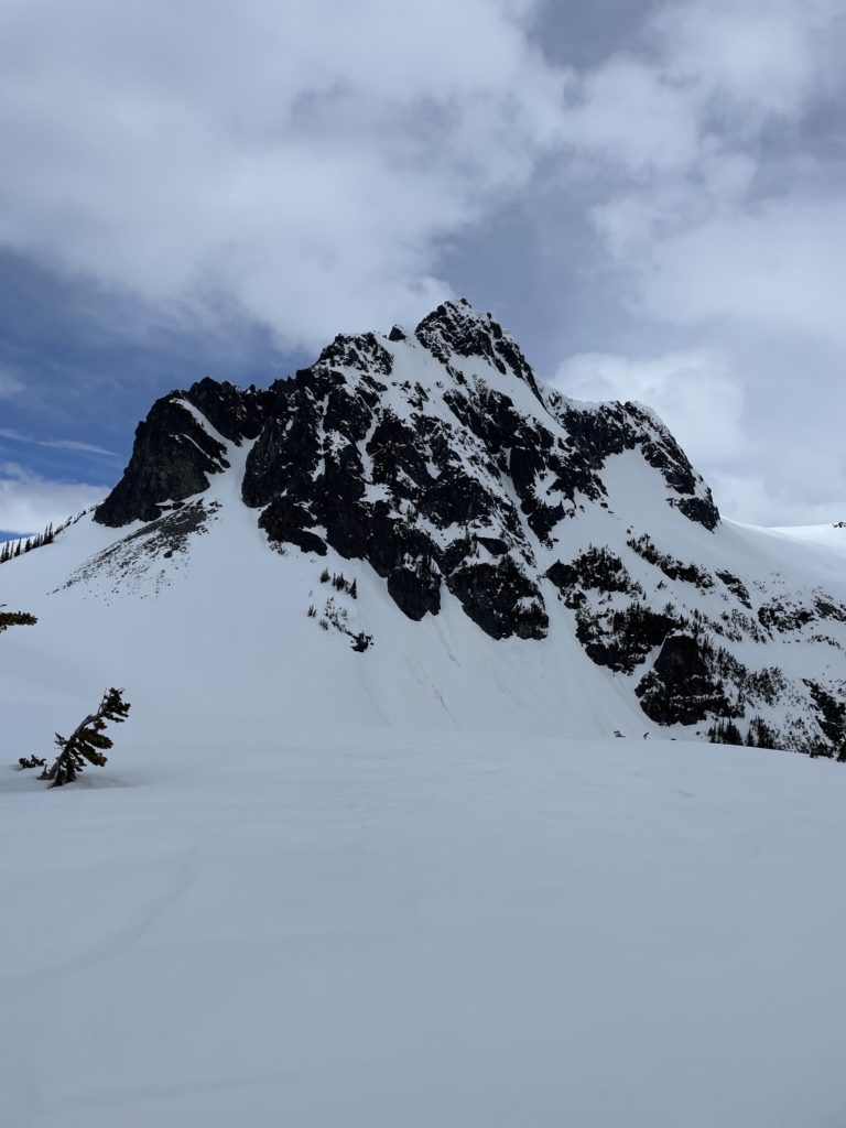
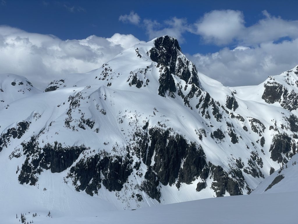
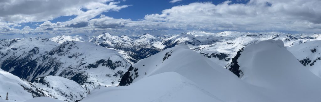
The Fire Spires are located on the very south eastern perimeter of Garibaldi Provincial park on the Terrarosa glacier and see few ascents due to access difficulties and minimal beta. Steven’s idea was to climb 3 summits starting with Mount Glendinning on day 1 and then finishing off with Ember Mountain and Ashes Peak on the second day. Mount Glendinning itself is not really part of the Fire Spires and sees significantly less ascents than its neighbors. The historical routes came in from another side of the Terrarosa glacier and that meant would-be parties would need to descend the glacier and cross a separate valley just to reach Glendinning. Thanks to Matt’s new route, we’d be going right past it making for a straight forward addition to the trip.
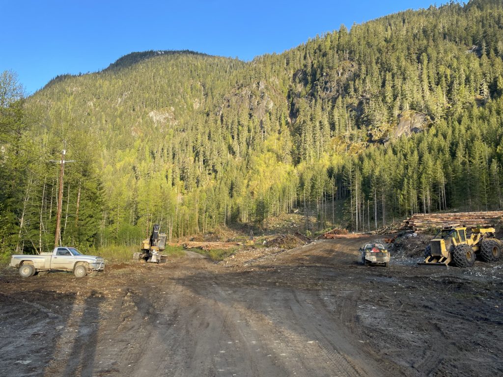
We agreed to meet at 8PM in West Vancouver on the Friday and Steven would drive myself, Phil Arundel and Alexandru Romancuic to the start. I finished work around 5:30 on the Friday and headed over to North Vancouver early to get a short moon boarding session in. After getting thoroughly humbled for an hour and a bit on V4 routes, I drove over for a quick pit stop at MEC and then parked at our usual meeting spot in West Van. Steven and crew showed up shortly after and we got on our way. We made it to the Sloquet Creek FSR around 12am and passed the hot springs a few kilometers later. There had been some info that the road was cut off by a blockade, but thanks to recent logging the road was re-activated and we were able to drive all the way to the starting point.
We set up camp right in the middle of the staging area for the logging site next to some heavy equipment. I was fairly confident loggers wouldn’t be around on the long weekend and settled in for a relaxed night of sleep. Unfortunately… I ended up being horribly wrong and I was awoken around 4am when the familiar sound of a diesel truck crawled past our tents. A few minutes later and I could hear the logging equipment getting fired up and I knew this was the demise of my good sleep. I hopped out of the tent to check with the operator about where we were camped. He ended up being very nice and said no issues with camping on site, just move the truck before we leave. Steven suggested we try to sleep in for another hour and I didn’t pass the opportunity up.

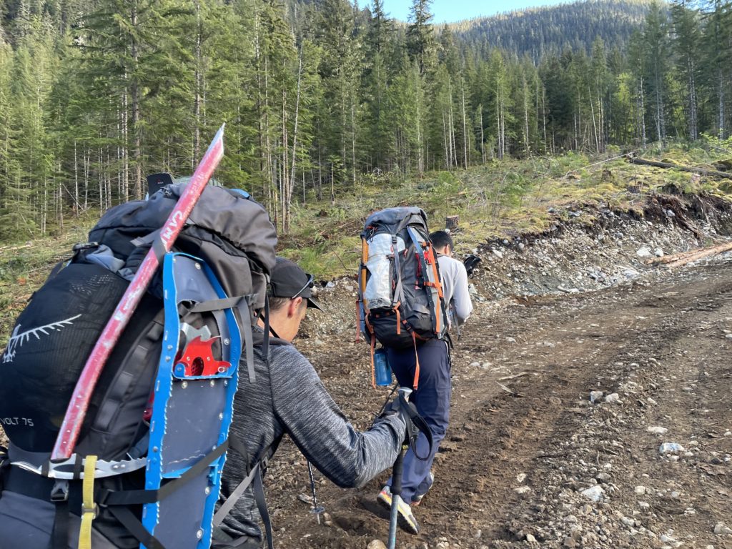
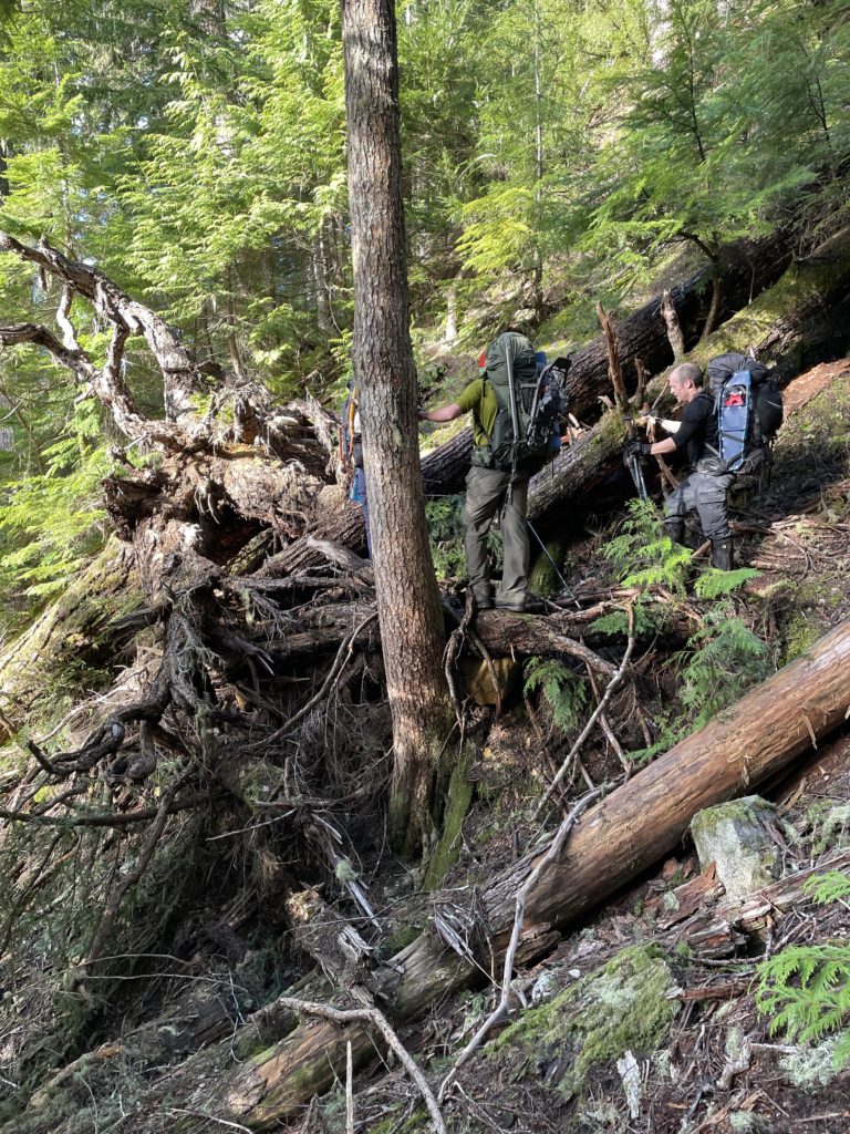
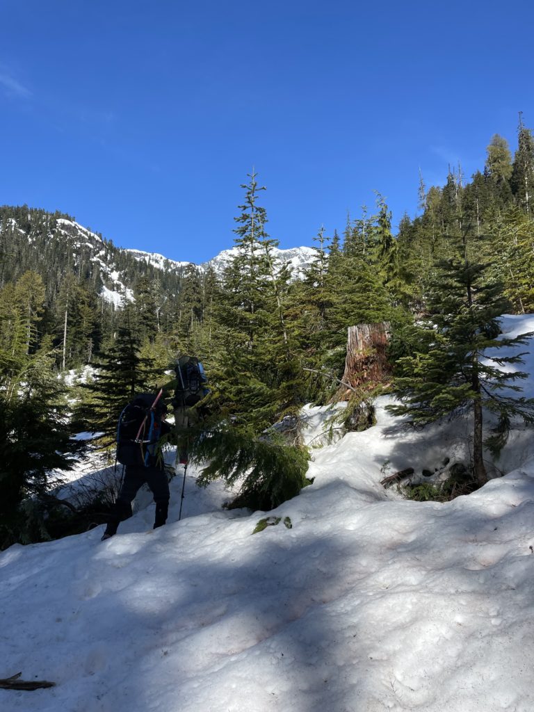
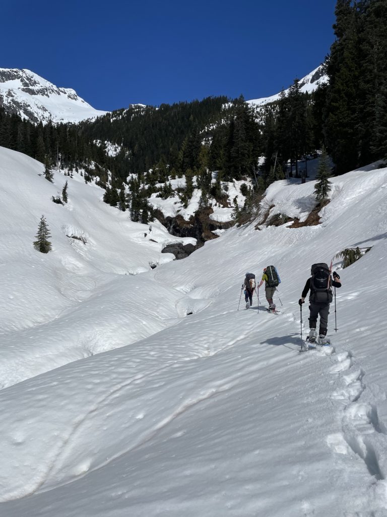
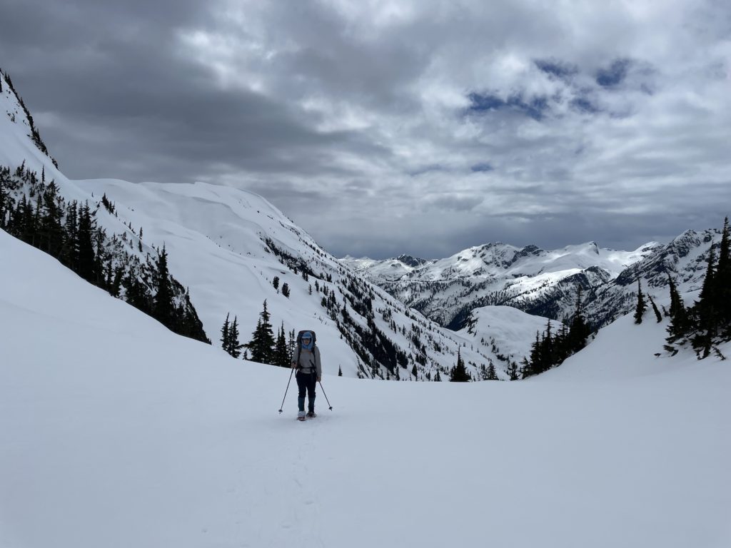
By 5am we gave up as more operators came in and we finally packed up and washed down our cold breakfasts. By 6am we were off through the second growth forest following Matt’s GPS track. His route took us in between the huge bluffs flanking the logging site and through a narrow key hole gully that bypassed all the cliffs. It was steep and slippery here, but ample veggie belays smoothed the ascent up and onto more normal terrain.
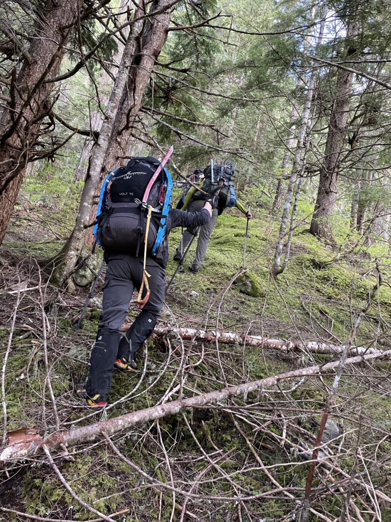
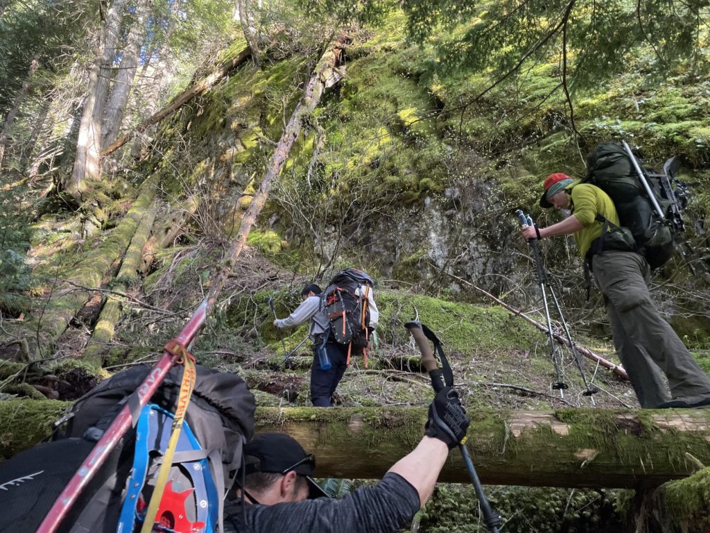
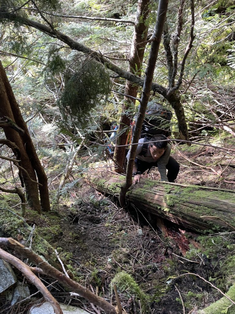
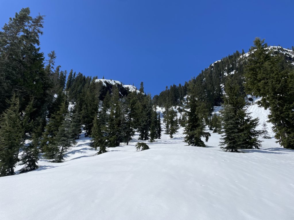
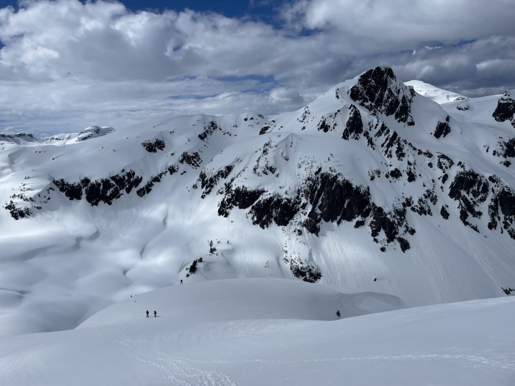
Steven continued leading the way and took us on a long traverse to a cut block at around 900m. We continued traversing through the cut block until we reached a creek at around 1000m. Here we refilled water and finally donned snow shoes before ascending further up the creek source to find a snow bridge crossing. Somewhere around 1100m we found one and then quickly reached the base of a large bowl below Mount Glendinning’s east face. The most appealing route up was an avalanche gully at climber’s left, but I had some concerns about the snow pack stability. There was recent wet loose avalanche activity and the full force of the sun was bearing down on us. Getting to the bowl involved a slushy mess in places and the gully had potential to be in a similar state.
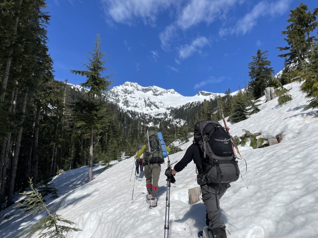
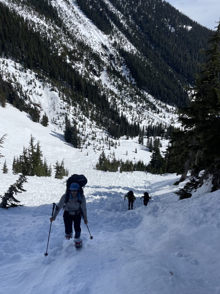
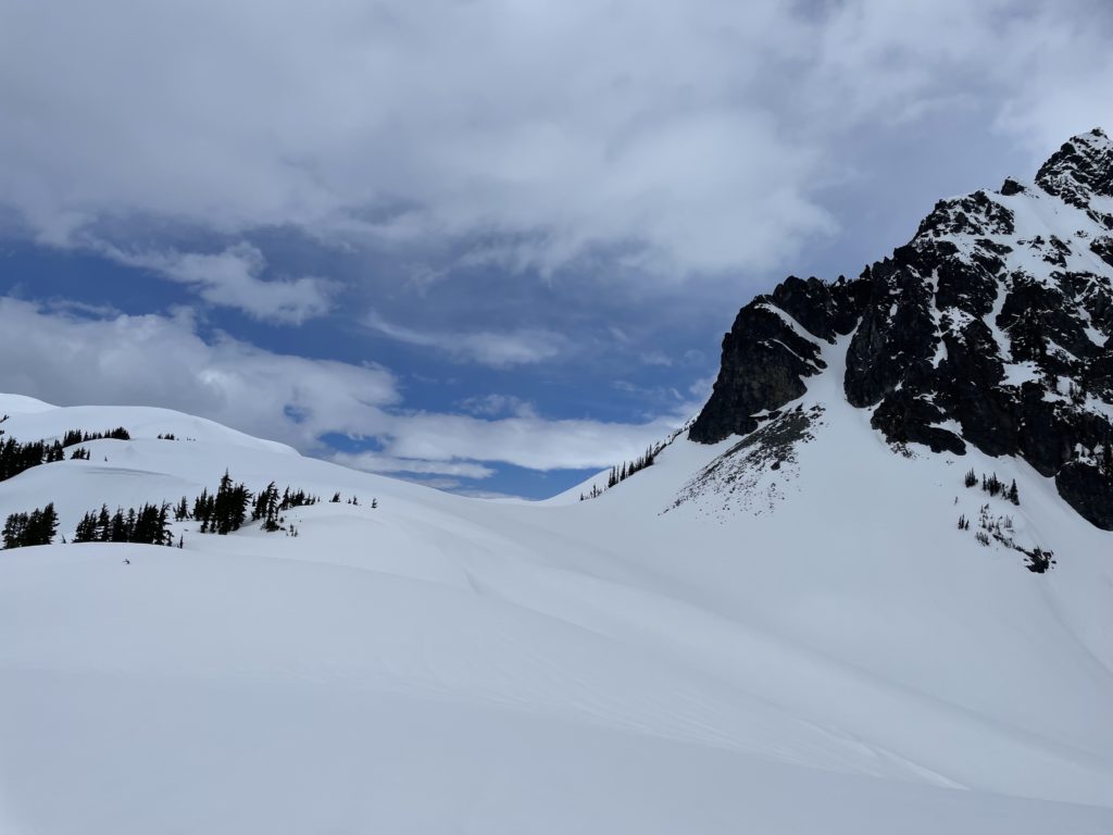
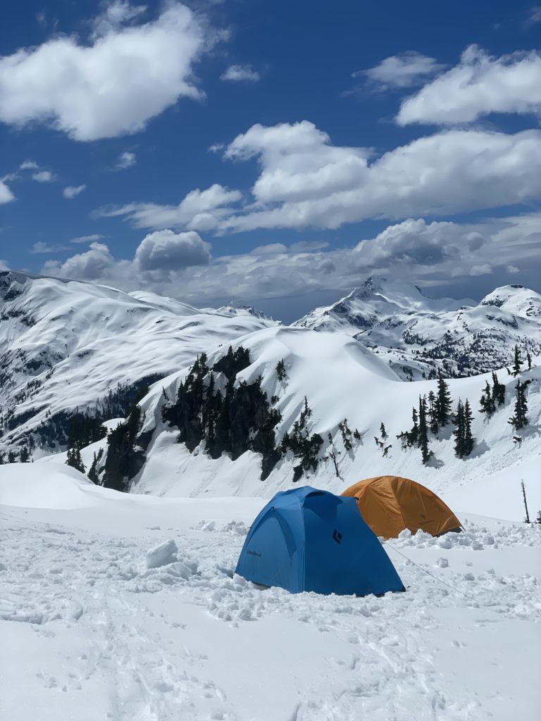
Alex spotted a ramp that looked like a good alternative half way up the gully. Satisfied, I then pushed up the gully and found safe conditions so we just opted to continue the rest of the way up and topped out safely. After the ramp was a few hundred meters of rotten isothermal soup that made for difficult trail breaking. Steven and I took turns breaking trail until the snow firmed up again and then he took on the lead for the remainder of the way. We looped around the south side of Mount Glendinning and descended around 200m with a mix of side hilling and steep undulating terrain. Finally, we had one more push up a steep slope until we reached the west side of Mount Glendinning where a snowed over tarn was present. A bit of exploring around this side netted us a great camp site that was flat enough and free from avalanche run outs.
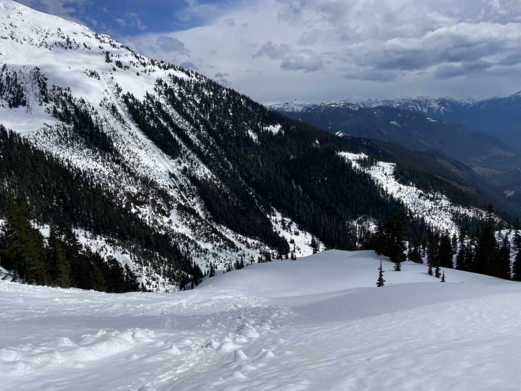

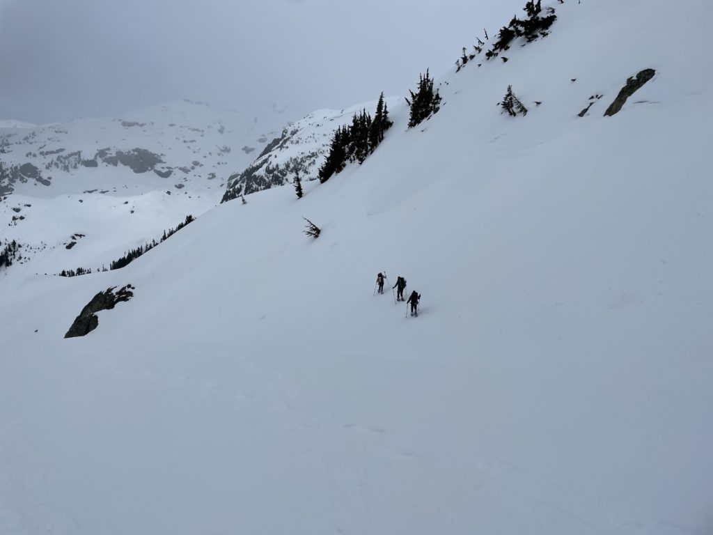

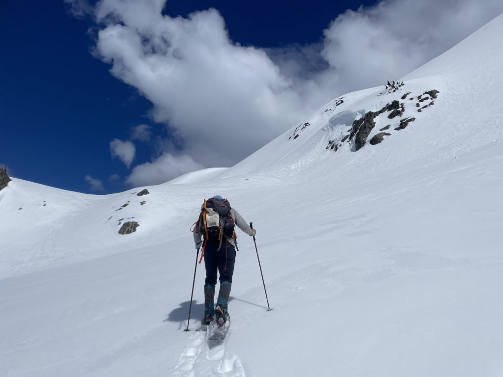
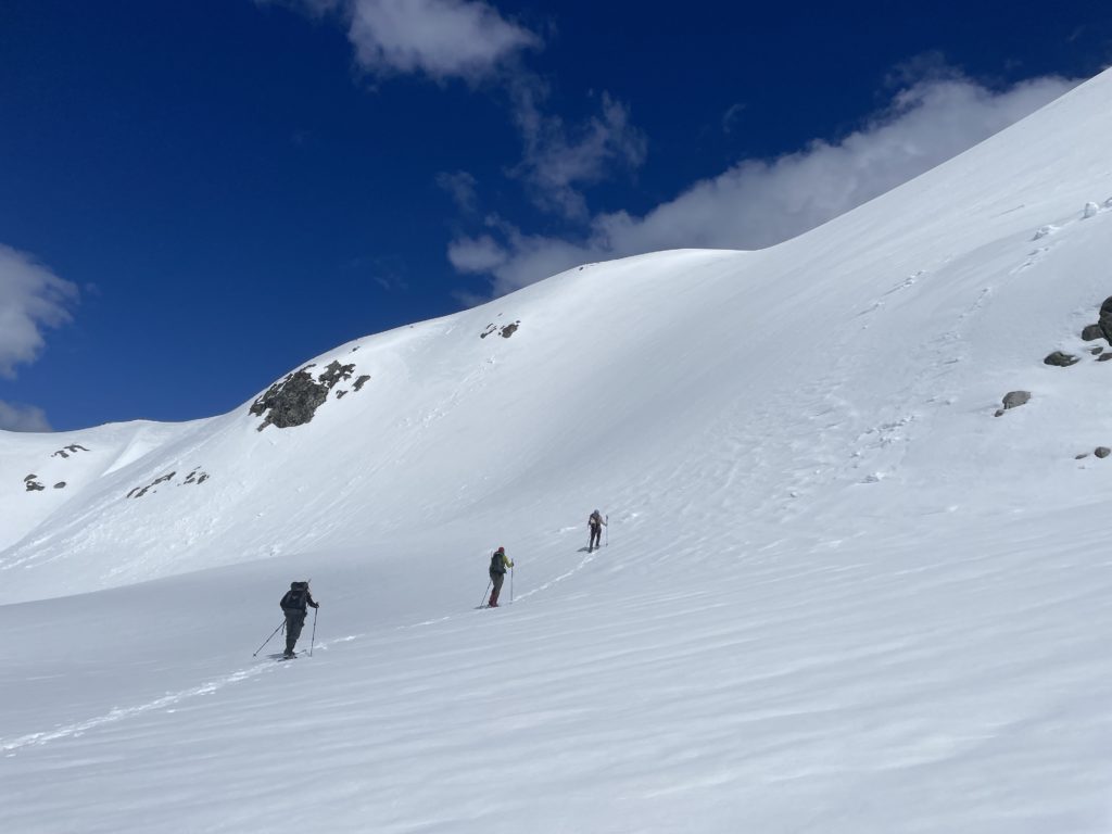
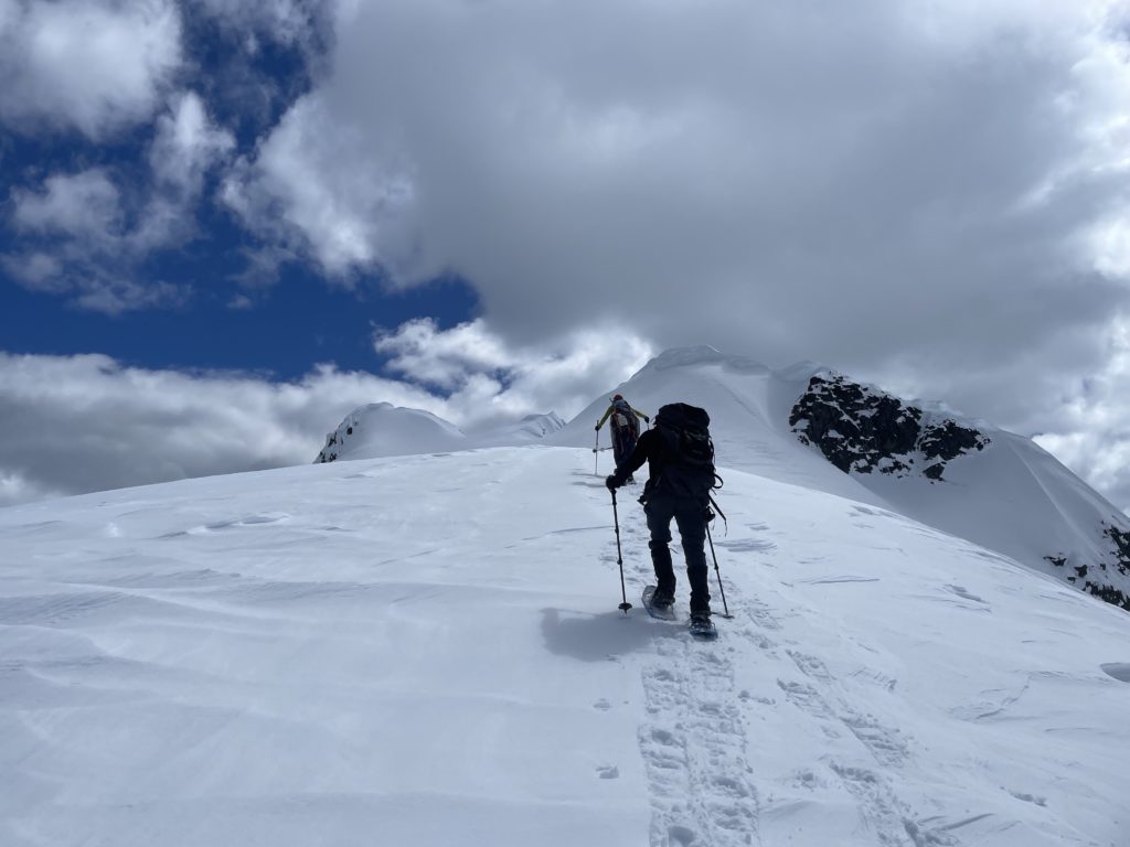
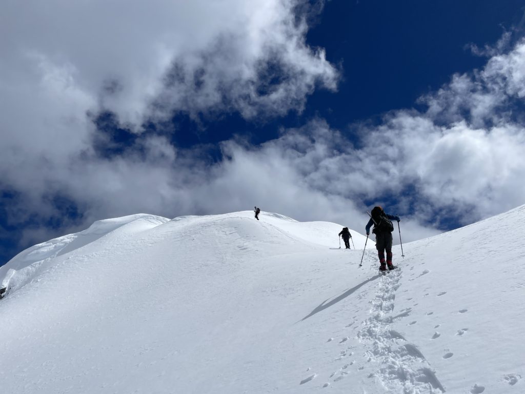
It was now 12:30PM or so and we got to work setting up our tents and making lunch. We had some time to kill so everyone chilled out or napped until 2PM. Caught up on a bit of sleep, we geared up sans heavy back packs and trudged our way up the western base of Mount Glendinning. Steven lead us up a few steep sections until we linked up with ridge running north-south. We gained elevation quickly and then passed on the eastern side of a steep corniced sub summit. Here two pinnacles were visible, but armed with GPS no guessing was required and we aimed for the left most high point where the true summit stood. There was one very short steep section just below the summit which we ascended easily and then piled onto the small summit area.


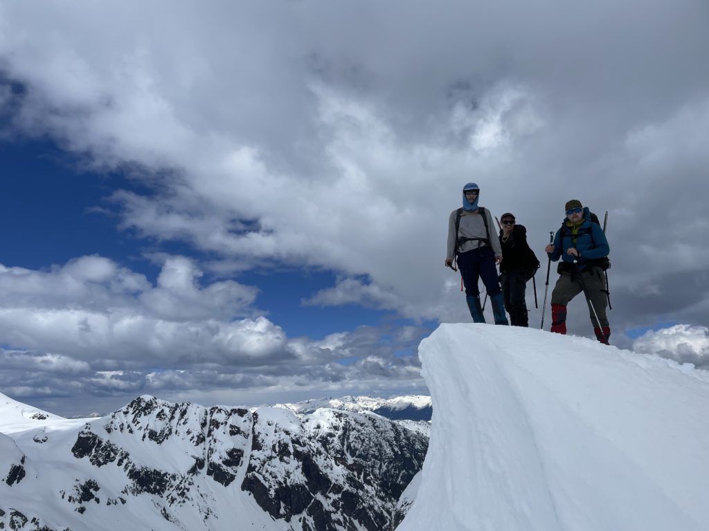
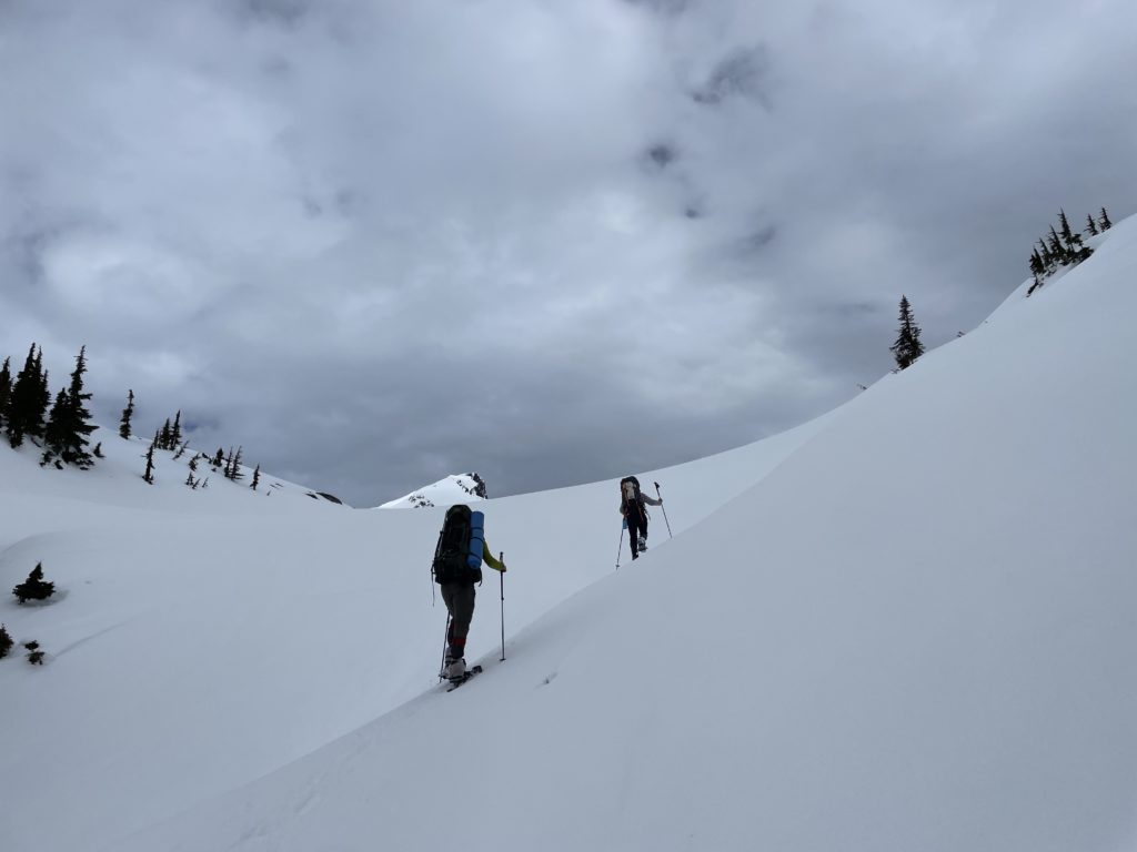
Slowly we trickled off the summit after taking in our fill and paused for a group shot before continuing the descent. Heading down the steepest point below the summit was a bit sketchy with the now slushy snow and most of us had to run down to the flatter terrain to avoid slipping out. The traverse under the sub summit was easy, but after more steep terrain awaited and I was struggling a bit in my snow shoes. They were proving to be inadequate for traction on the downhill in these conditions and a fall in some sections was going to be a long ways down. Just before the last steep slope, I stopped to ditch the shoes and put crampons on instead. The result was a post-hole fest, but it least the footing was more secure.

We cruised back into camp not long after and settled in for the night. All of us stayed up to watch the sunset and then tucked into bed in preparation for a 3am summit push to Ember Mountain.