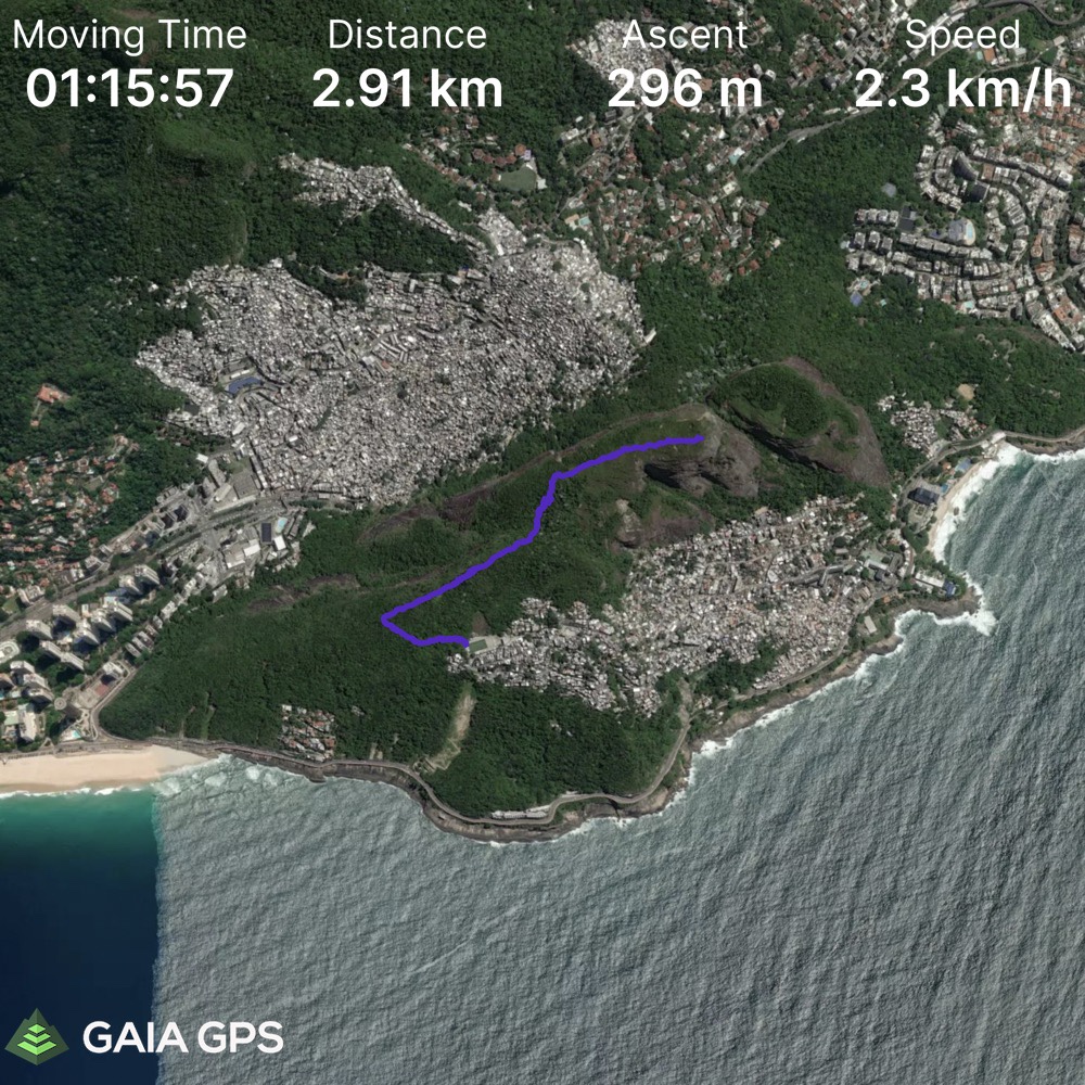
Elevation Gain: 296m
Distance: 2.91km
Total Time: 2 hours 8 minutes
Date: February 28th, 2022
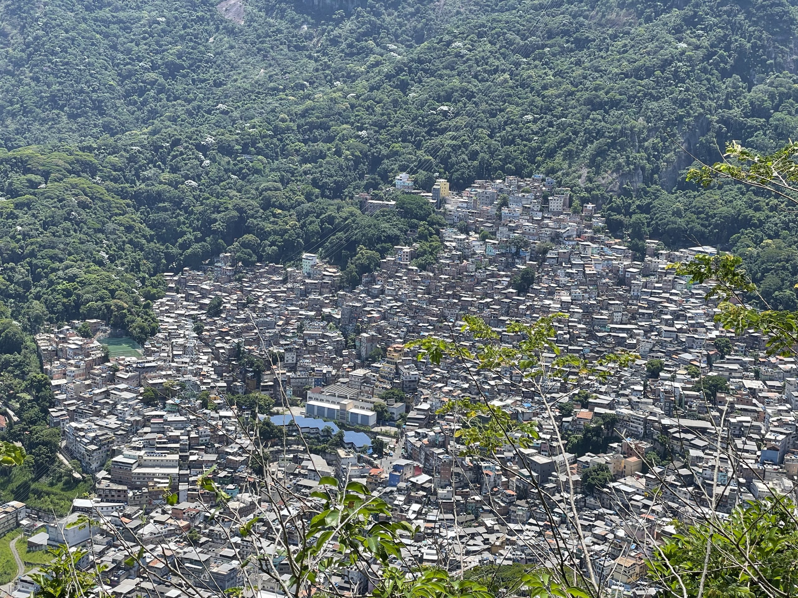
Dois Irmao is another very popular hiking objective around Rio de Janiero. The mountain complex is made of two separate summits: Irmao Maoir (big brother) and Irmao Menor (little brother). Going by the normal route will take you to the top of the highest point: Irmao Maoir via a trivial ~3km trail round trip. The crux of the route is actually reaching the trail head. One must take an uber to the base of the Vidigal favela, where the uber will proceed no further. From there it’s a 5 reals moto-taxi ride to the trail head and then another 5 reals entry fee, per person, charged by a community member. Entering a favela is at your own risk, however this trail see’s significant foot traffic each year and anecdotally I never heard of any issues reaching the top and back.
While staying in hostels in Rio I had heard of numerous guests reaching the summit and extolling the experience and views. I had it on my list, but didn’t prioritize seeing it until I met a friend, Roxy, at the hostel I was staying at. She made a remark about wanting to hike in Rio and that’s when I jumped in with the idea of Dois Irmaos. We planned for the following day, but Carnaval required us to reschedule to the day after that.
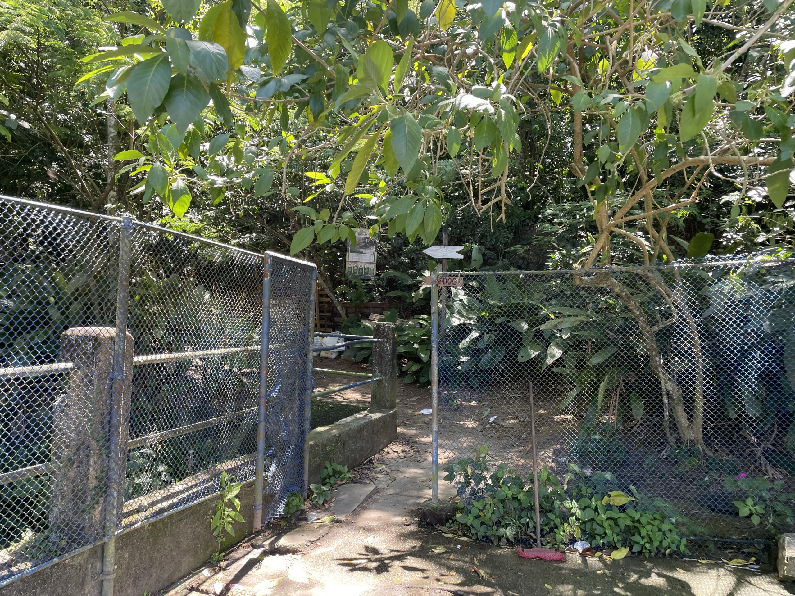
We left our hostel around 11:45am and reached the base of Vidigal for 12:20 or so. Only one person per moto taxi was allowed, so we each took a separate one up to the trail head. Then we walked 10m to the “entrance” and paid the community member before finally starting down the trail. For safety reasons, I didn’t take my phone out until I reached the trail head, so no photos of the journey up unfortunately.
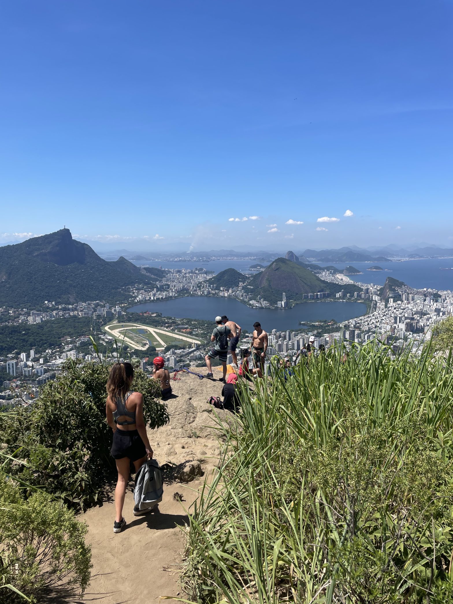
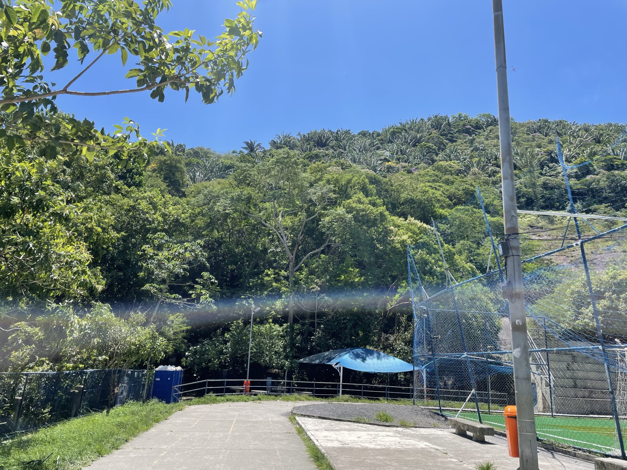
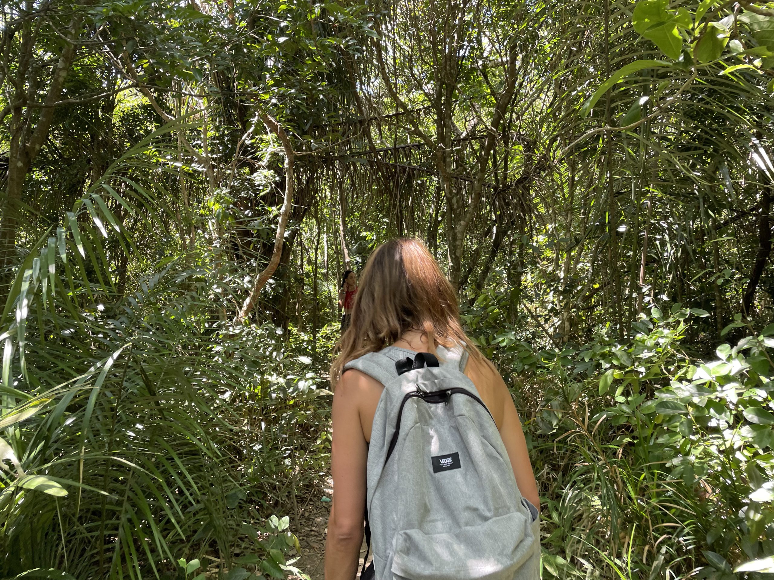
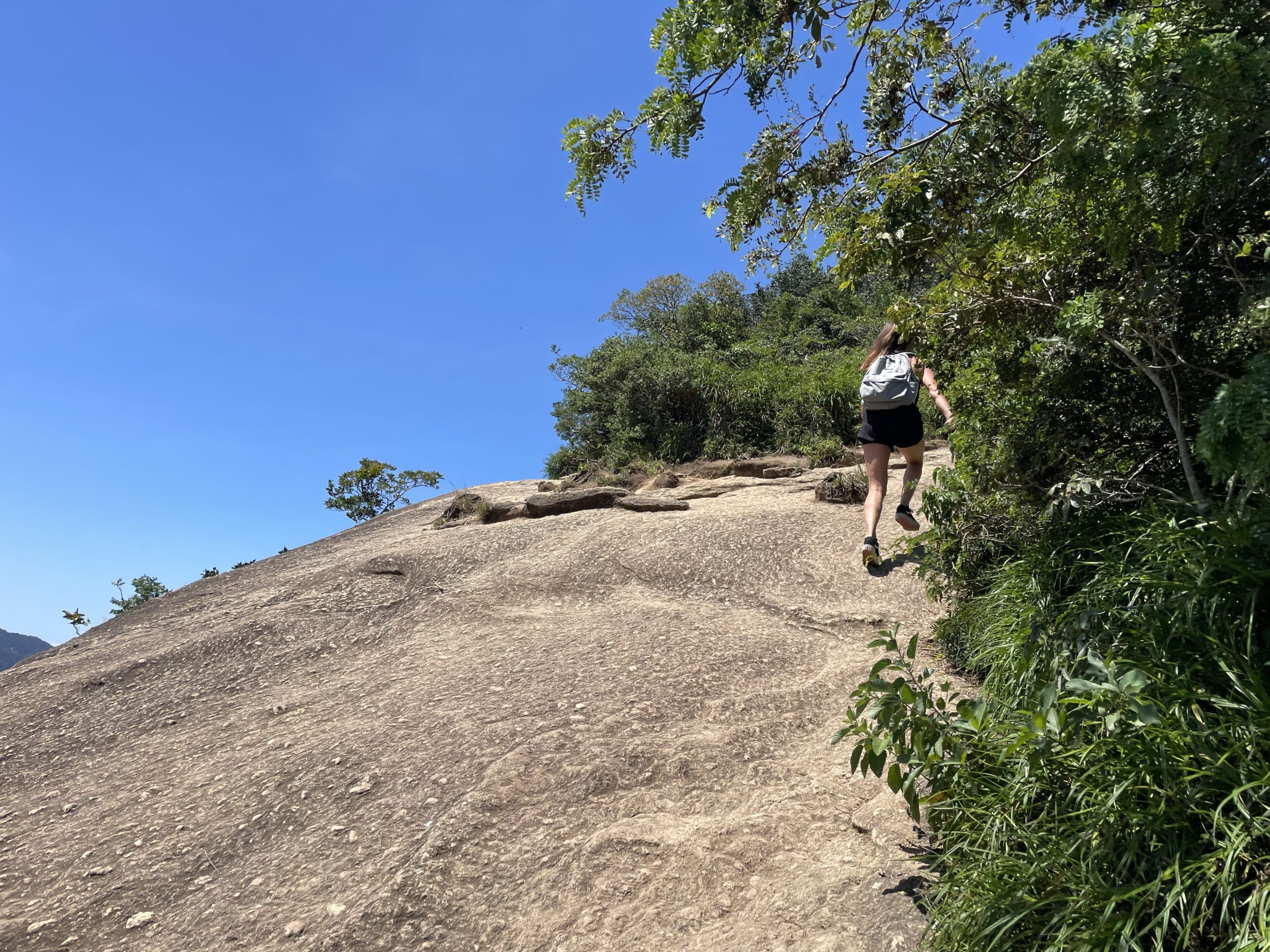
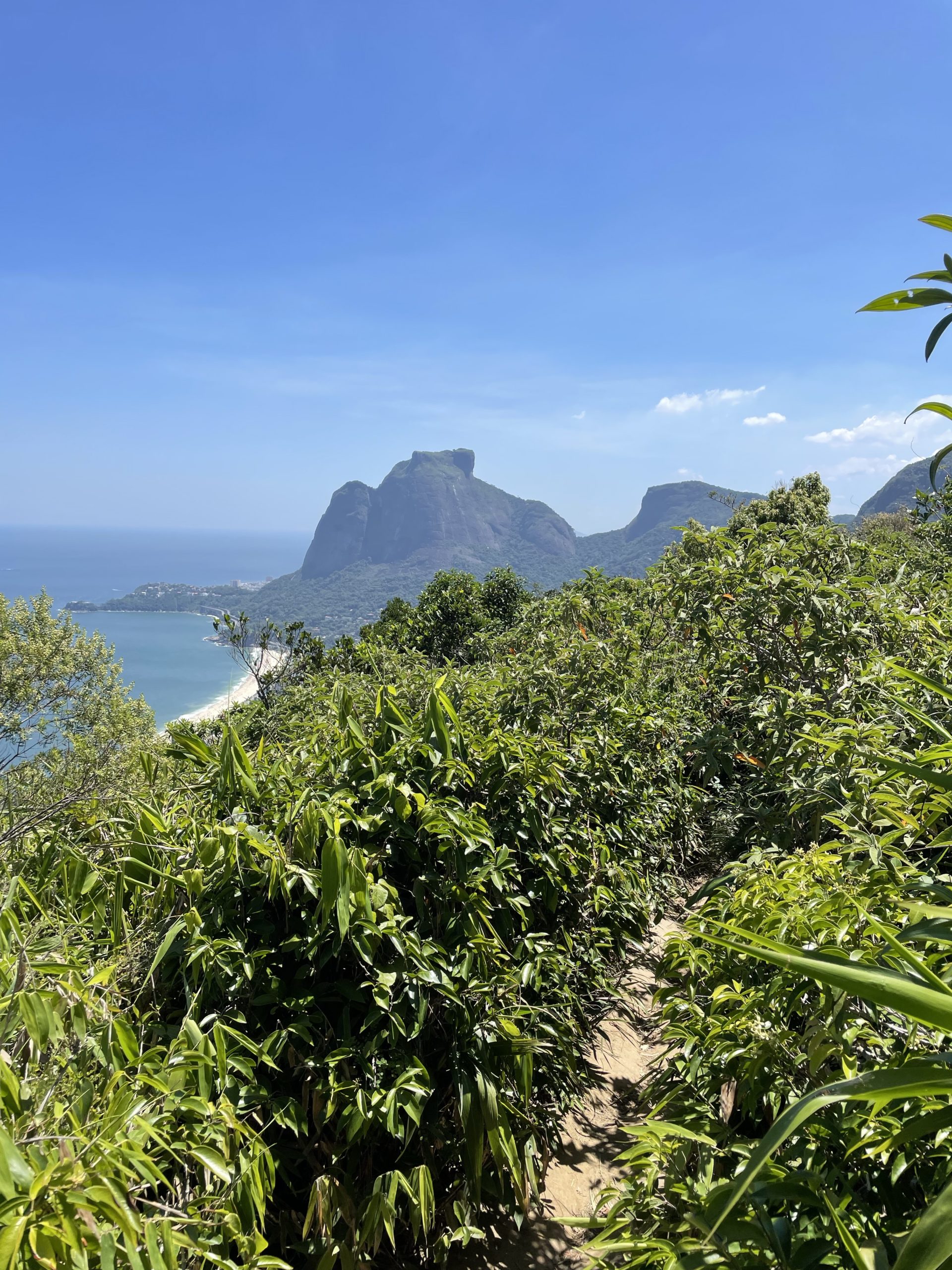
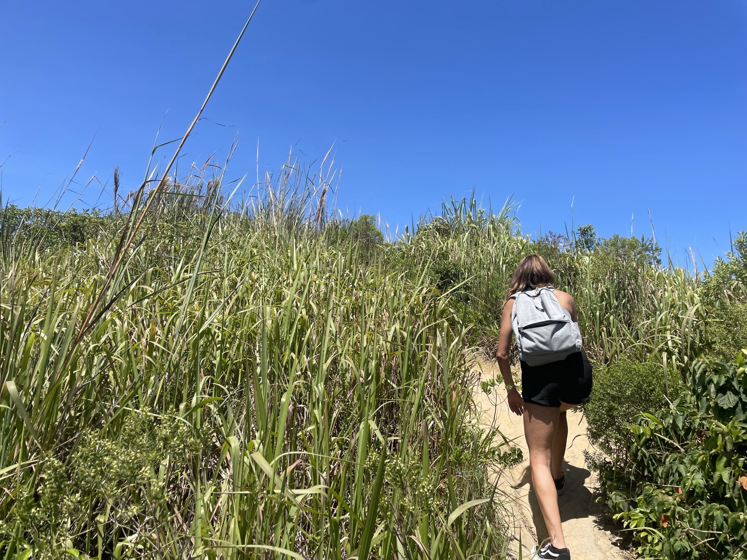
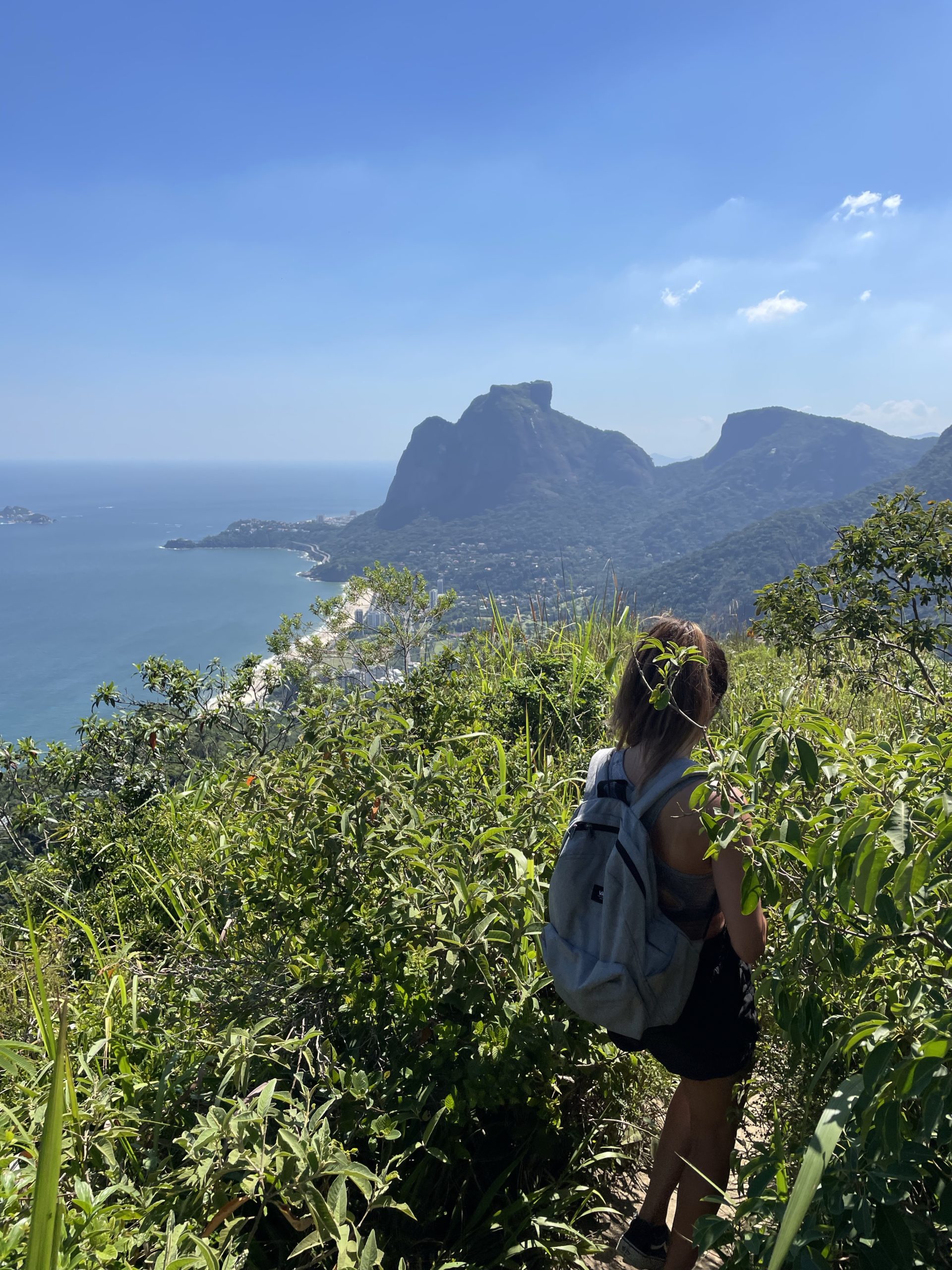
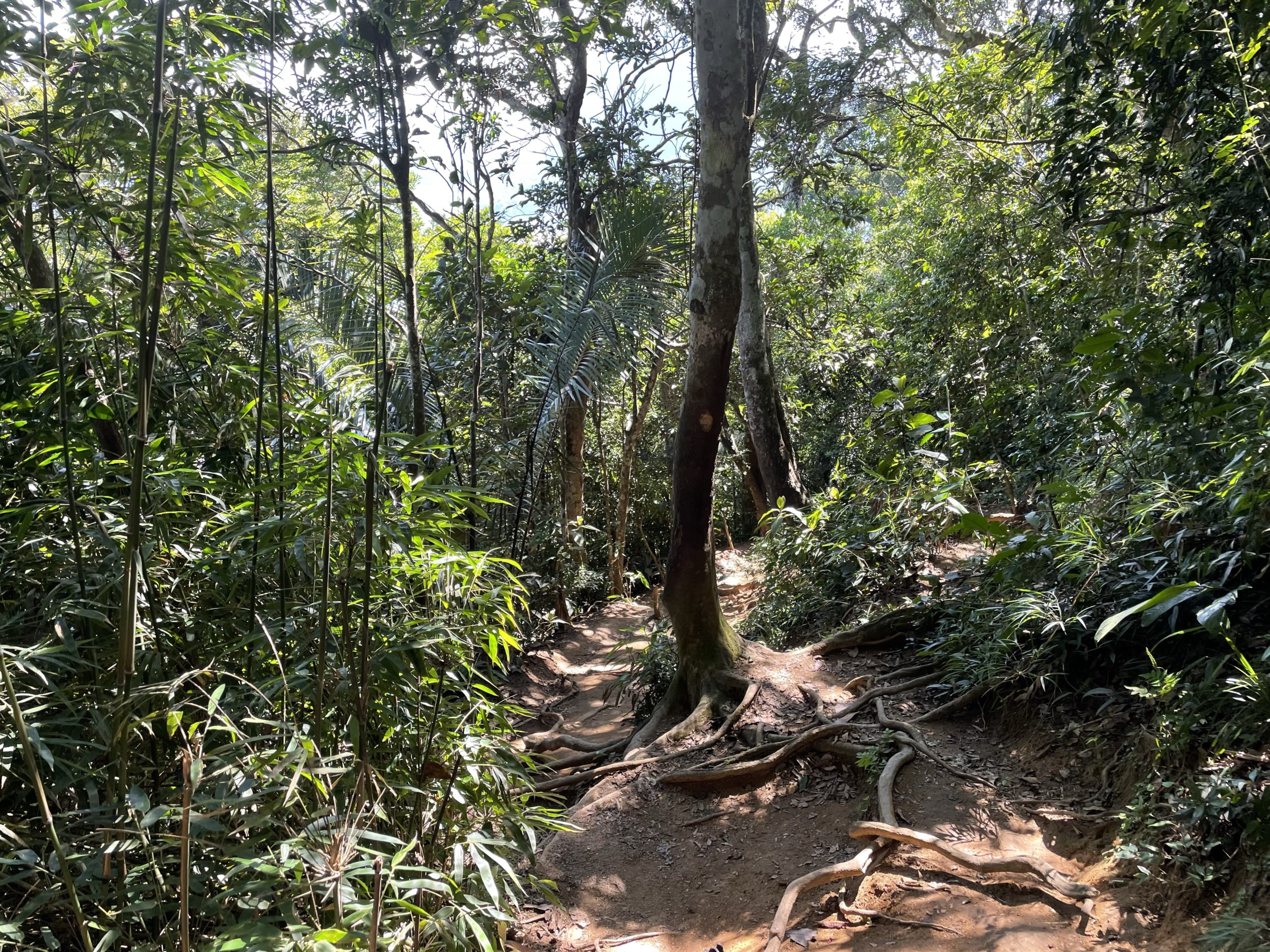
The trail started after a community sports area and ascended at a modest angle up through the forest. Everything was well signed or obvious and we reached the first view point at 360m in minimal time. Located at the view point was also a small vendor offering drinks and seats to rest at if that’s your thing. We pushed on through a slightly narrowing trail until the forest tapered off and we broke out into a tall grass field. Then it was a short cruise to the summit and the famous view point just beyond.
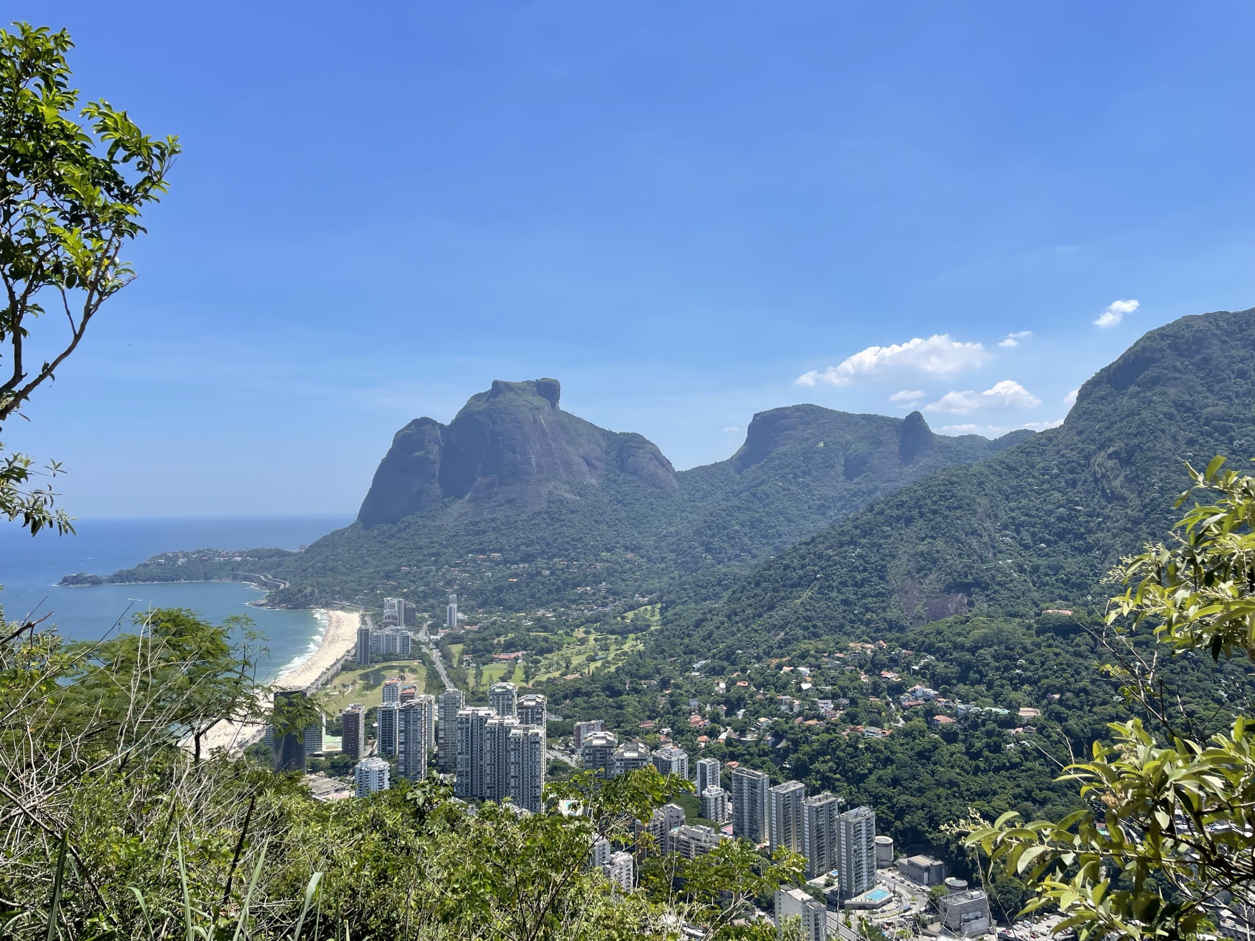

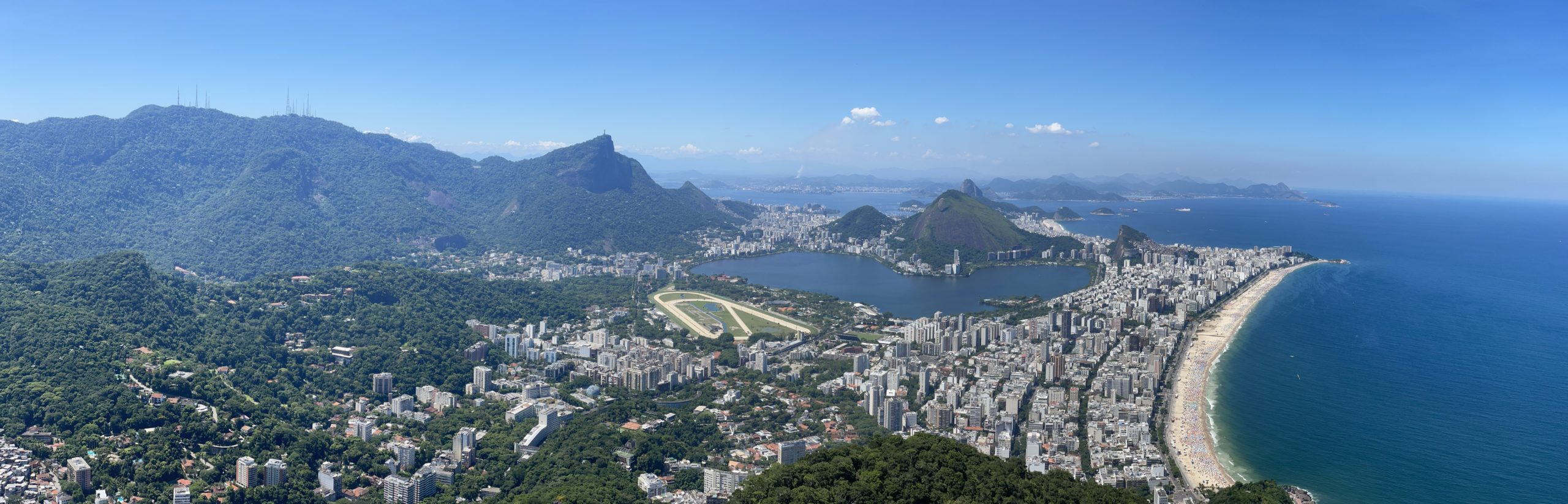
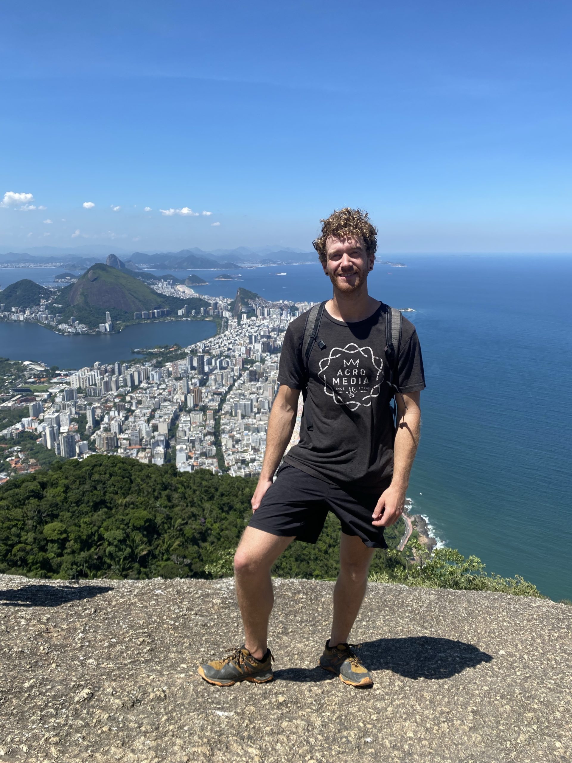
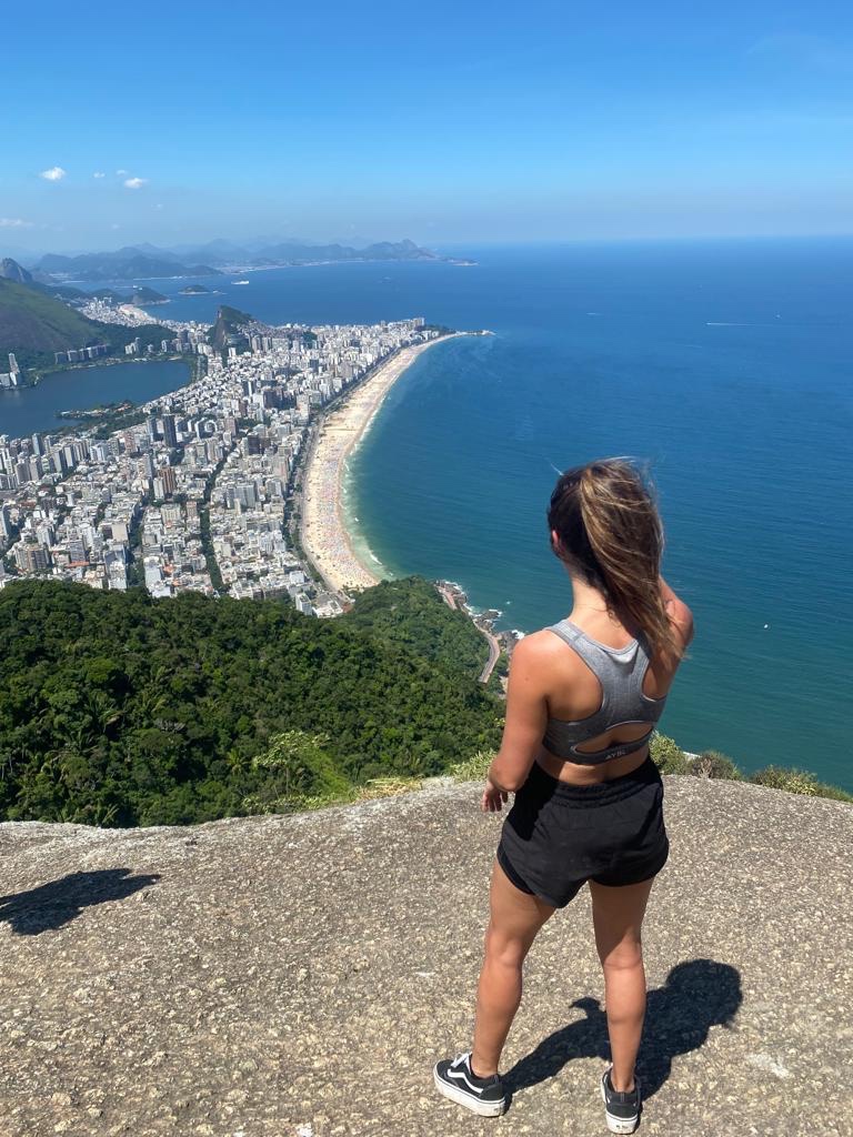
From the end of the trail we had stellar views of Copacabana beach, Sugarloaf mountain and the sprawling city dwellings. Roxy became acquainted with some visiting Brazilians on the summit and so we chilled out for a long time, soaking in the sun and views. When the sun started to best me, I made the suggestion to begin our descent and Roxy was happy to oblige.

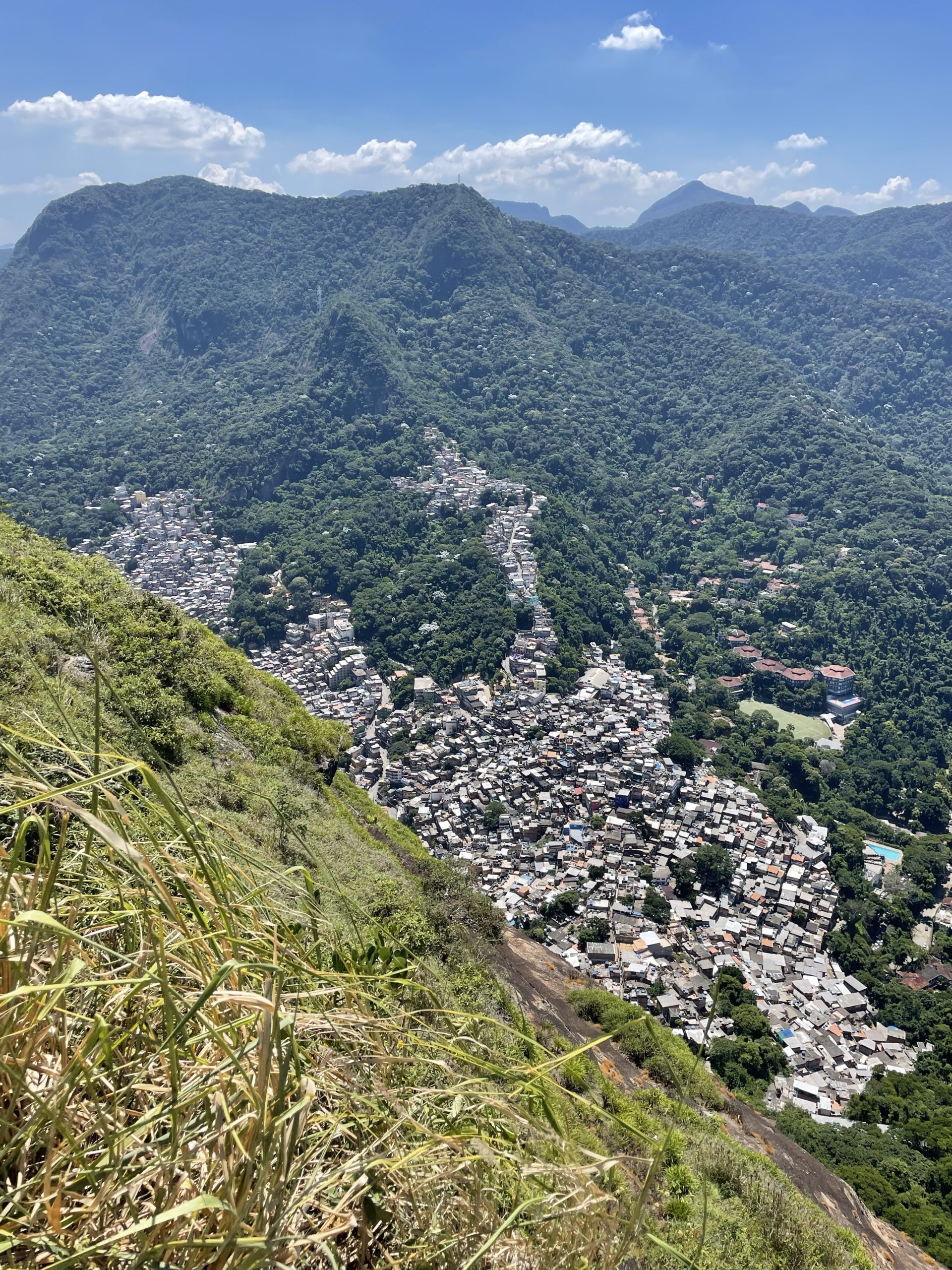
Descending was a minor 1.5km return on the same well-marked trail and so we reached the trail head with ease. Then it was another 5 reals to take the moto-taxi down and we had completed our mission. Given the minimal elevation gain and short trail, this is an excellent effort for reward trail. Taking a moto-taxi through the favela also enables you to see another side to Rio, but comes at its own risks.