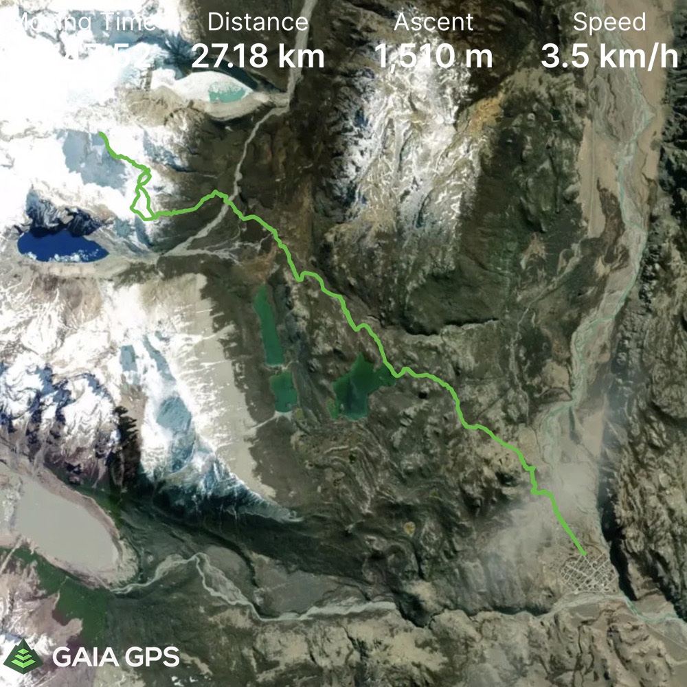
Elevation Gain: 1510m
Distance: 27.8km
Total Time: 11 hours 18 minutes
Date: January 20th, 2022
Cerro Madsen is an 1806m peak near the Fitz Roy massif in Patagonia. It’s not a particularly notable objective when compared to the world-class alpine climbing objectives that rule the area. But… I’m not a world class Alpinist, nor do I have big wall climbing skills for the time being.
I still wanted to make the most of my trip to Patagonia though and so I began searching for peaks that were within my climbing/hiking/scrambling ability. Cerro Madsen is one such peak that showed up very frequently in my searches. Unfortunately, online beta is very scant for this peak and many of the other smaller summits in the area. The best that I could manage was gleaning photos and small descriptions of the ascent from the various companies that posted Madsen as a guided offering. What I could find is that the route went up to 4th class and that photos seemed to indicate a straightforward scramble. So with that, I added it to the list for my arrival in Patagonia.
Joining me on a 20 day stint down there would be my good friend Jacob. He was keen to climb some more interesting summits behind the usual hiking that’s most popular around there, so it was a perfect fit. We both landed in El Calafate on the 19th of January and grabbed a bus together to El Chalten. I was dealing with a cold I caught while on Aconcagua and not feeling super great. But the stoke was high and we decided on going for Cerro Madsen the following morning to take advantage of the good weather.
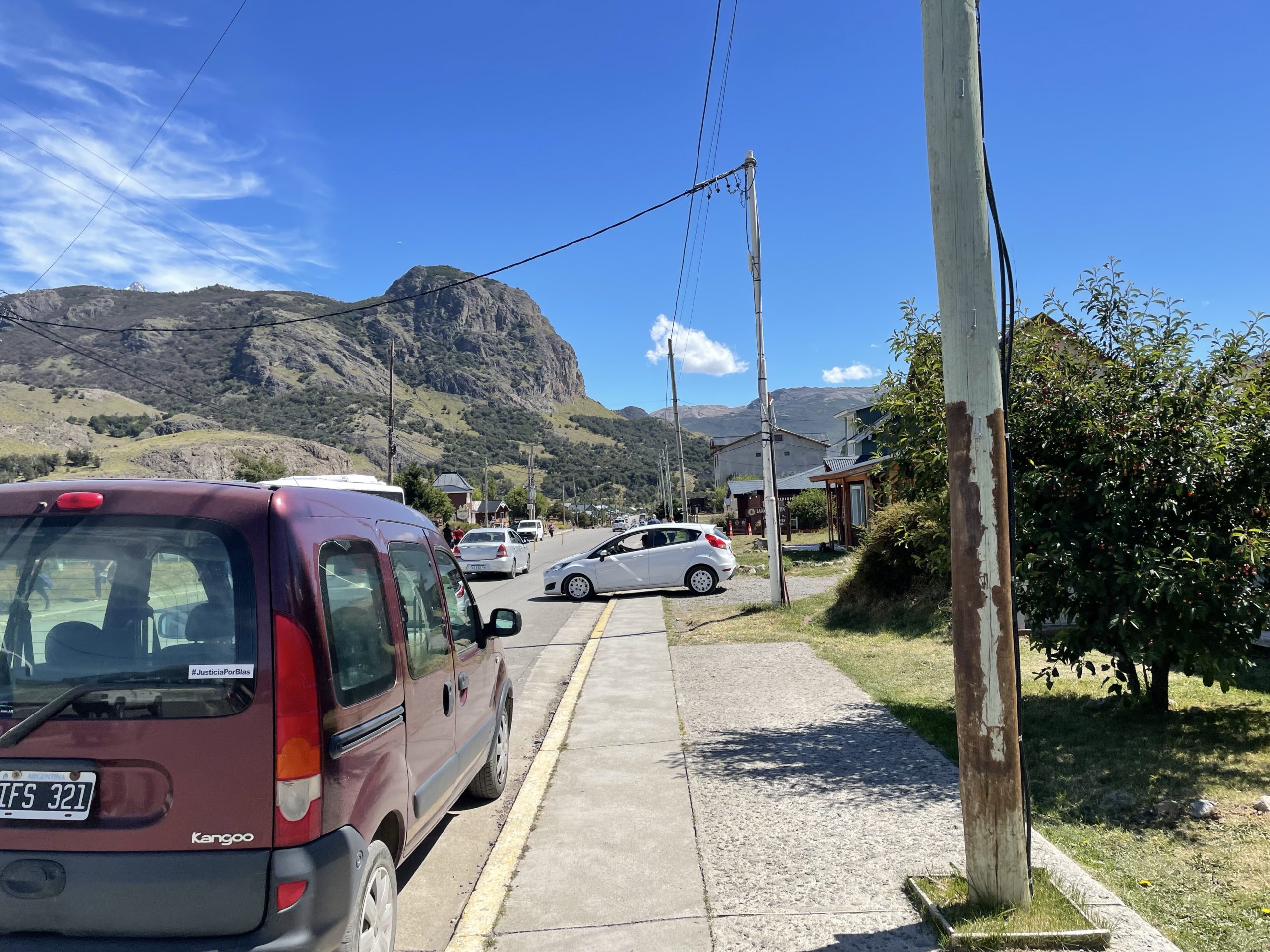
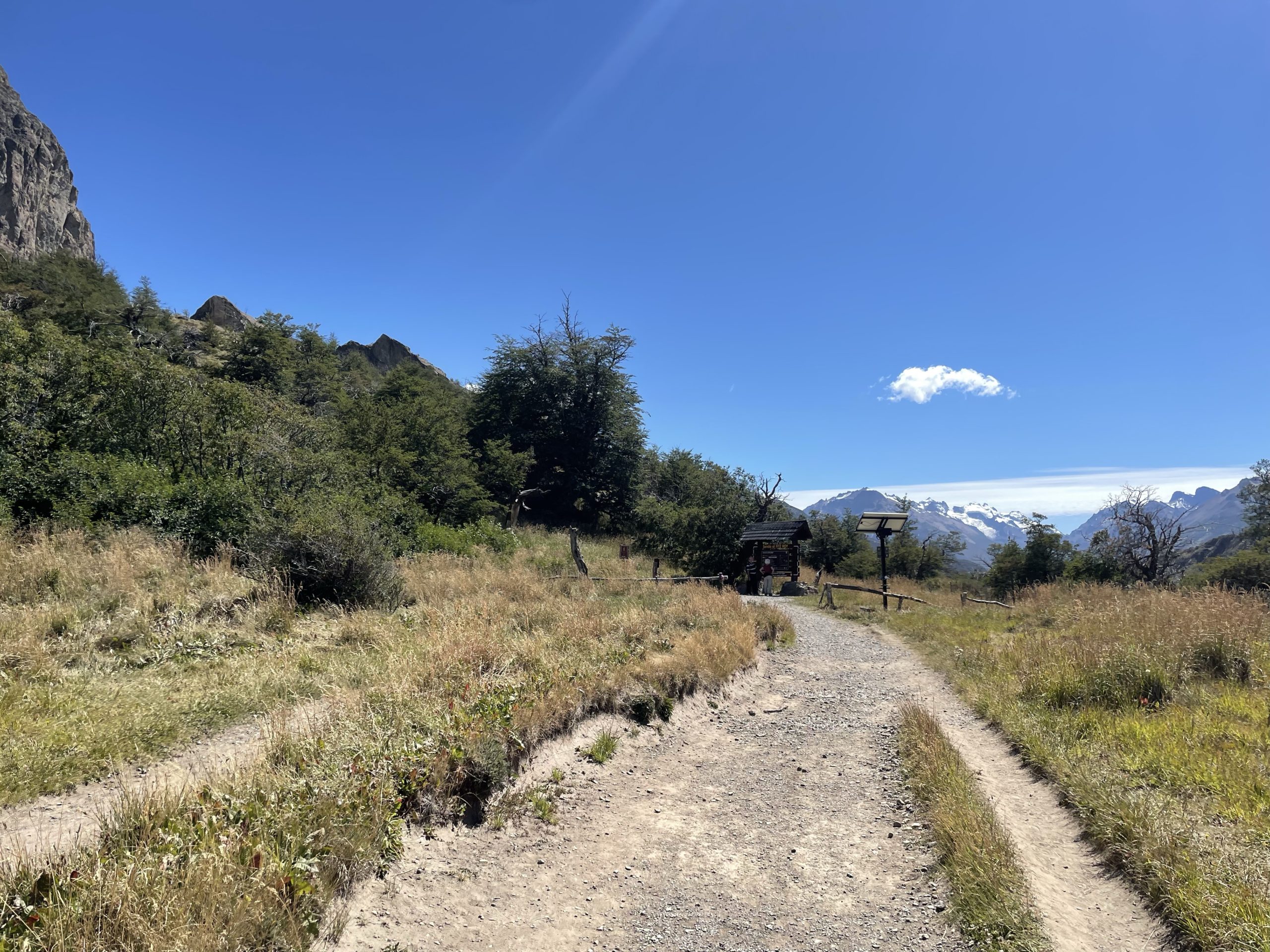
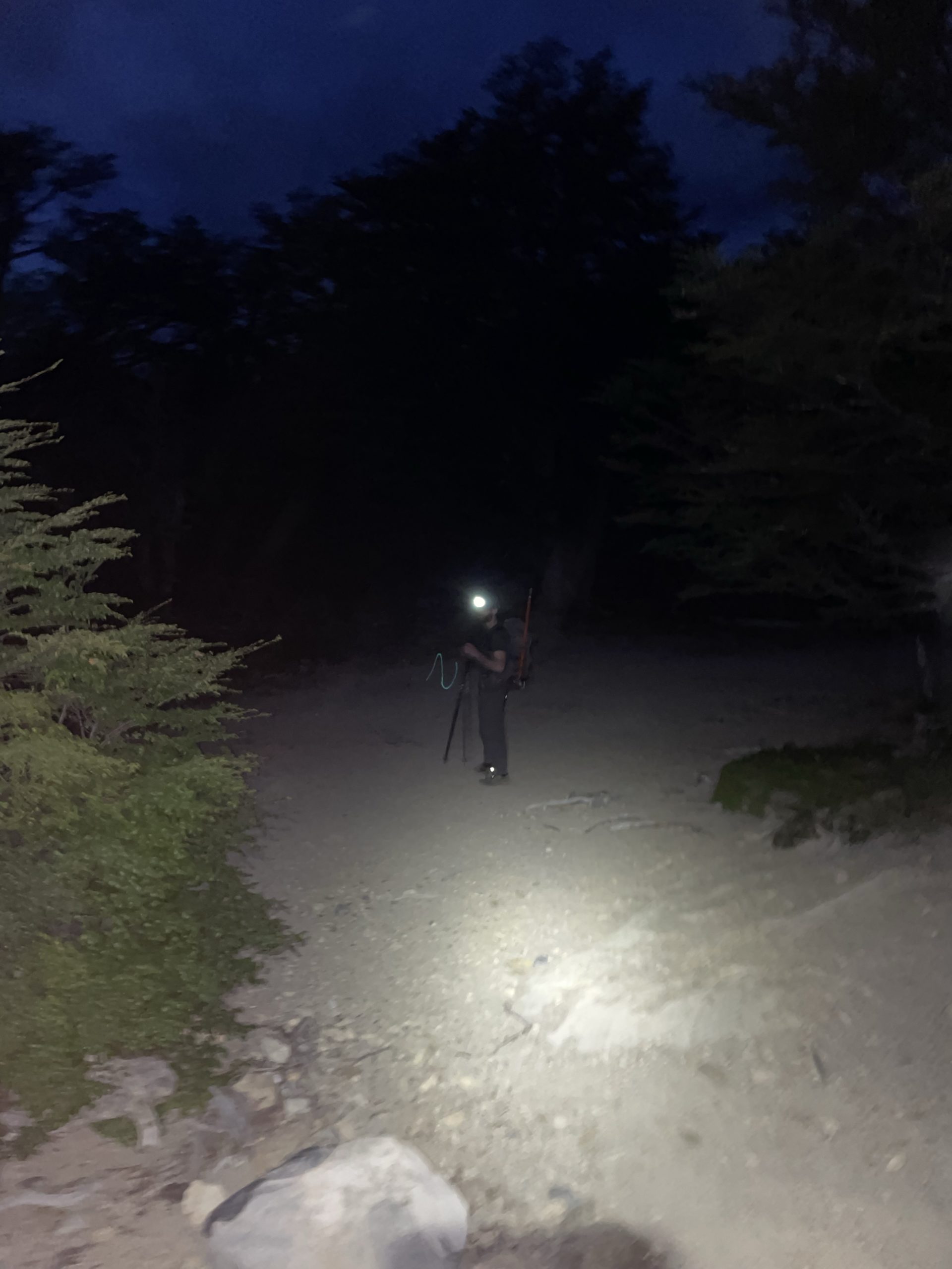
On the 20th, we had a leisurely start getting the lay of the land around El Chalten. Sunset wasn’t until 10pm in any event, so we had lots of time to spare. We got started at 12:37PM after grabbing breakfast and some food for the trail. The trail head was located at the edge of town so we just started our journey directly from the hostel.
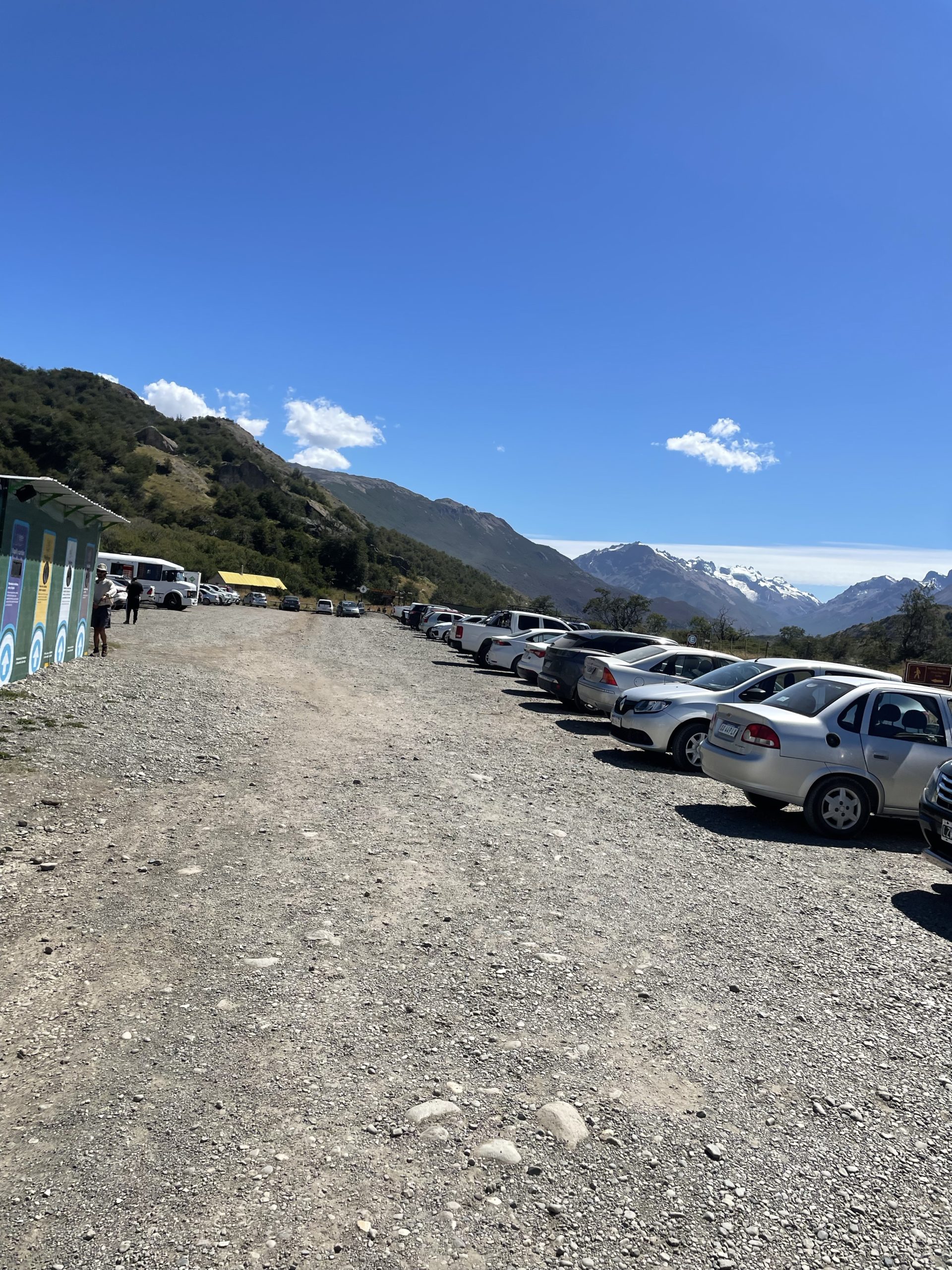
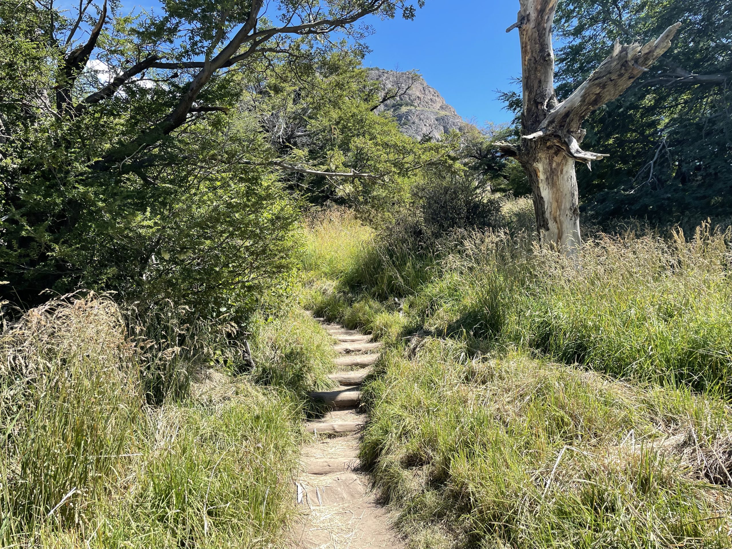
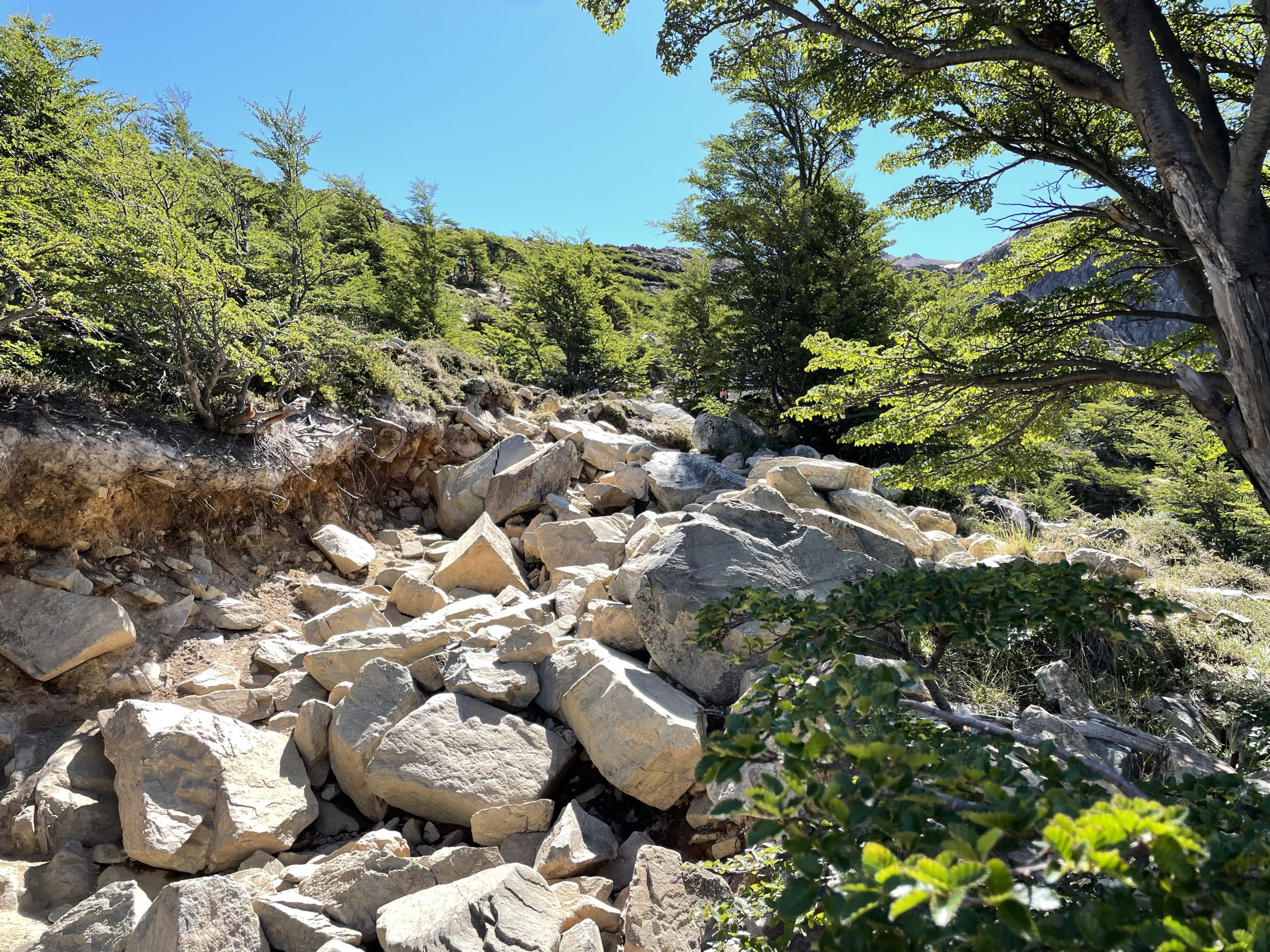
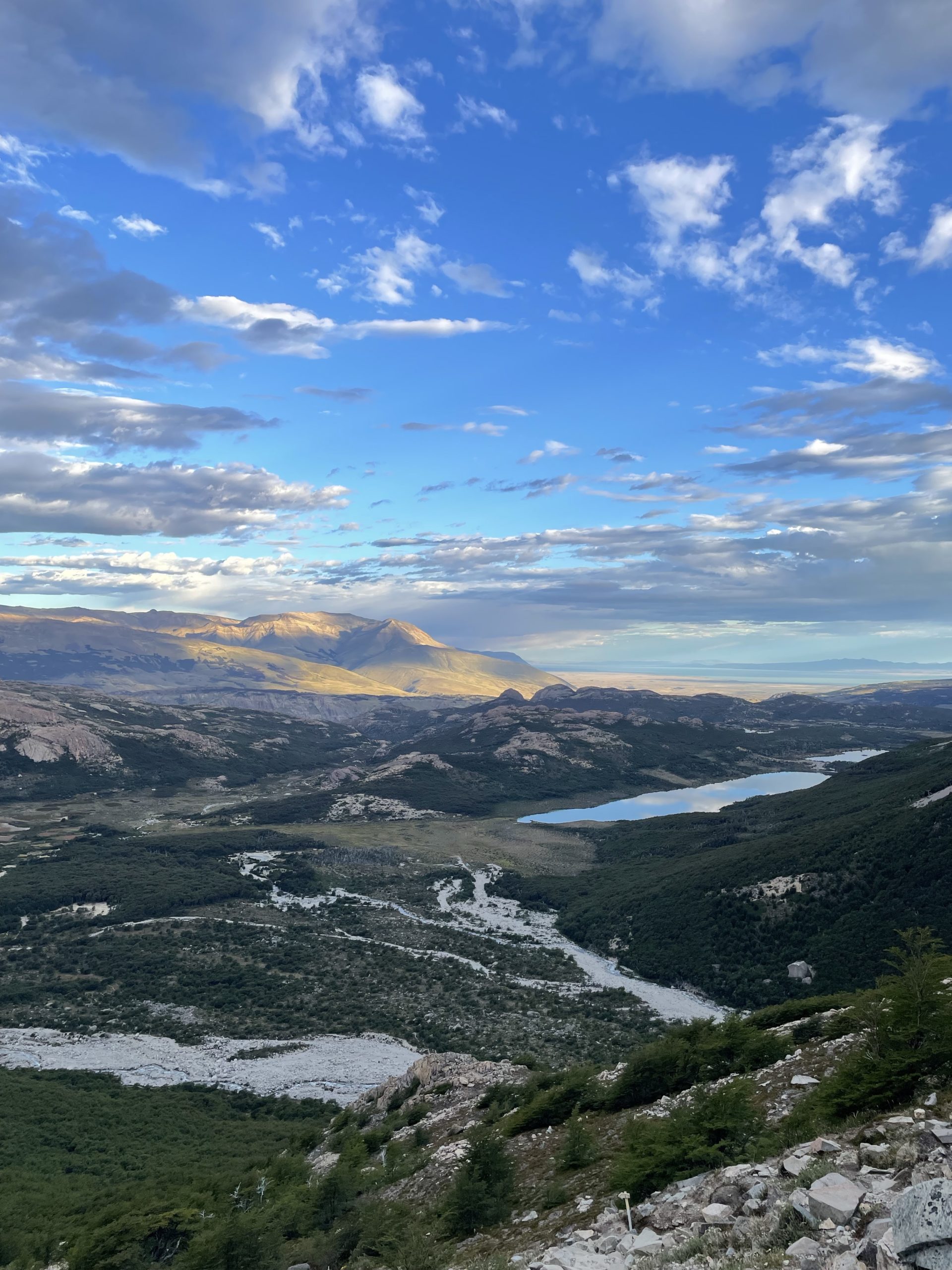
The approach to Madsen follows the super famous trail to Lago de los Tres. The trail is wide, well maintained and well marked making for straightforward hiking. We were able to get through this part in about 2.5 hours at a moderate pace and then we reached the base of the steep hill up to Lago de los Tres. By now the full afternoon heat was on and I was running out of gas on the way up the hill. The trail is a random series of rocky steps so it makes for slower ascending as well. We managed to top out after about an hour and finally reached the famous lake spot.
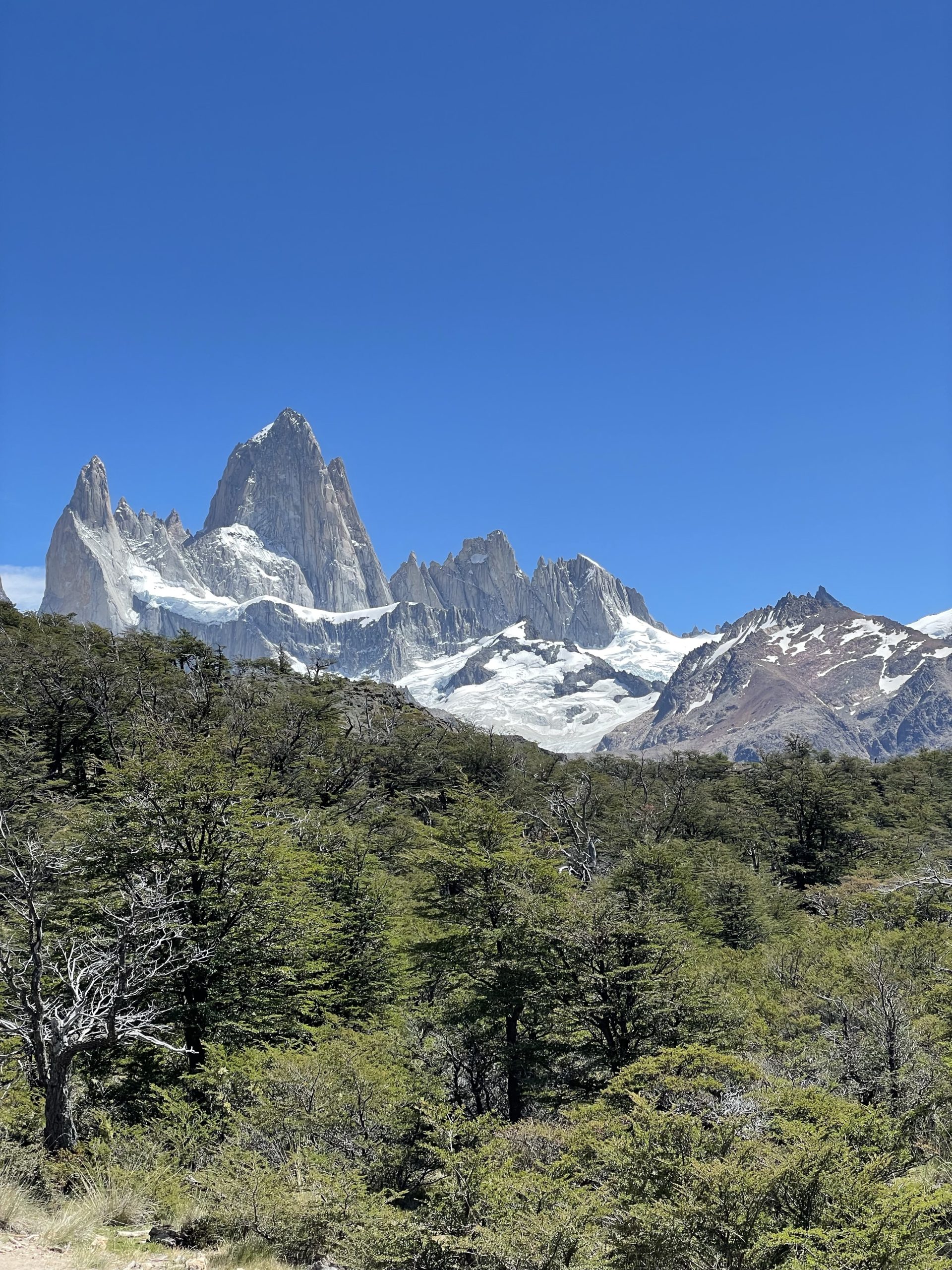
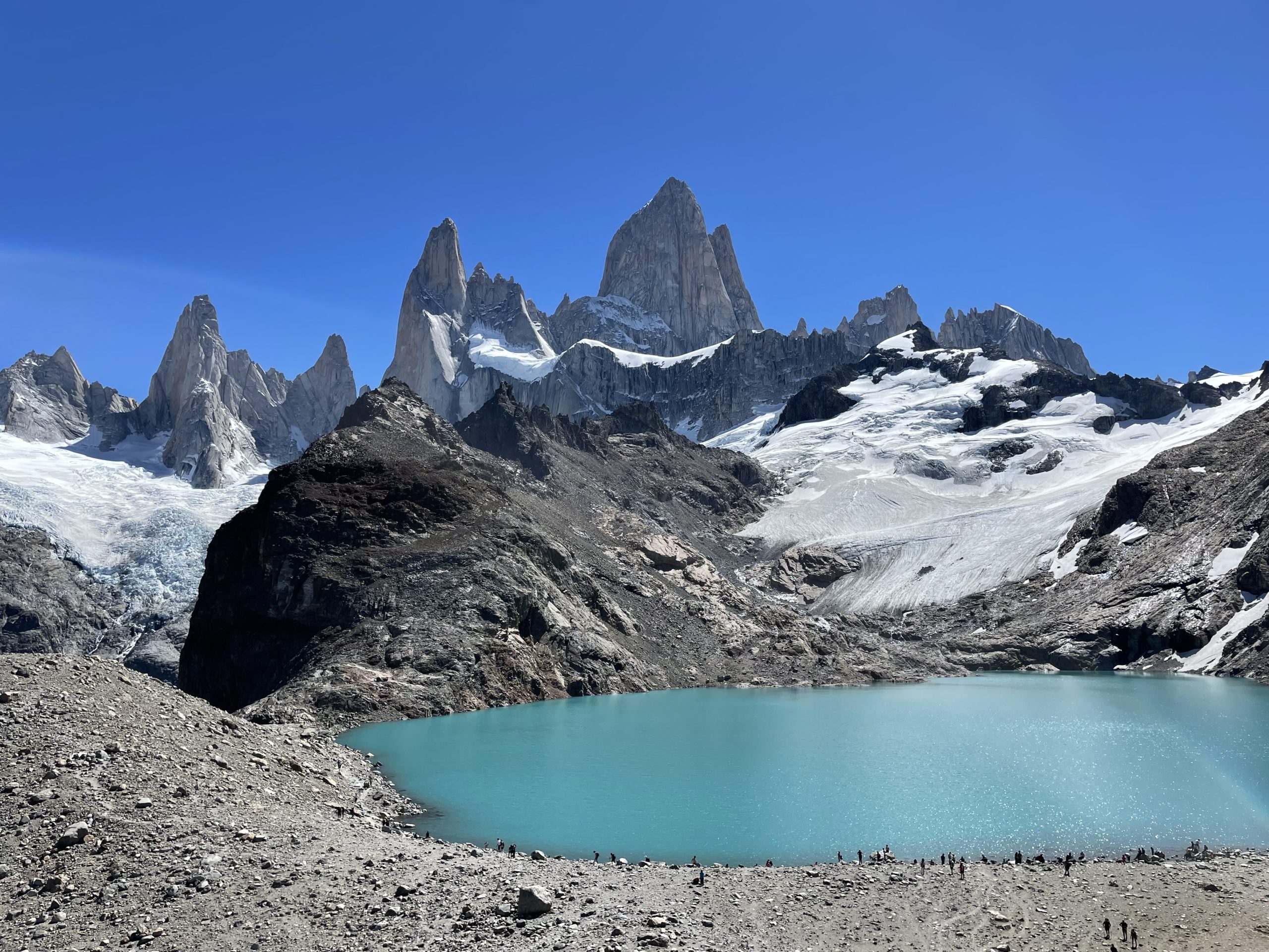
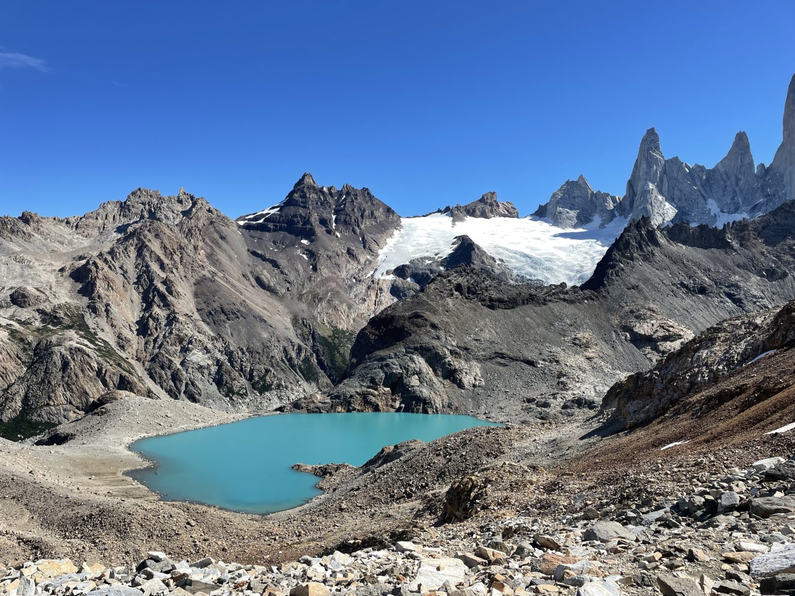
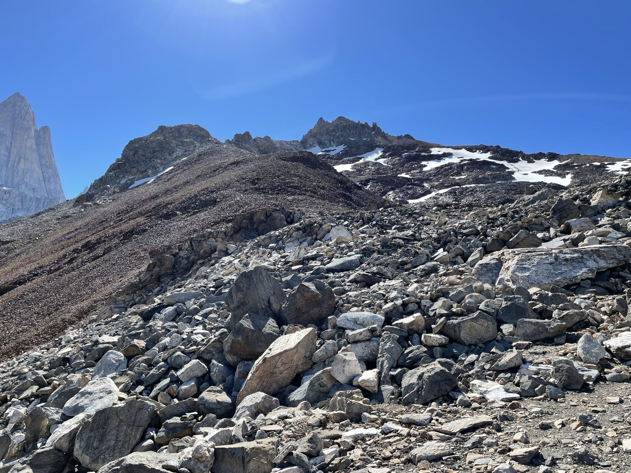
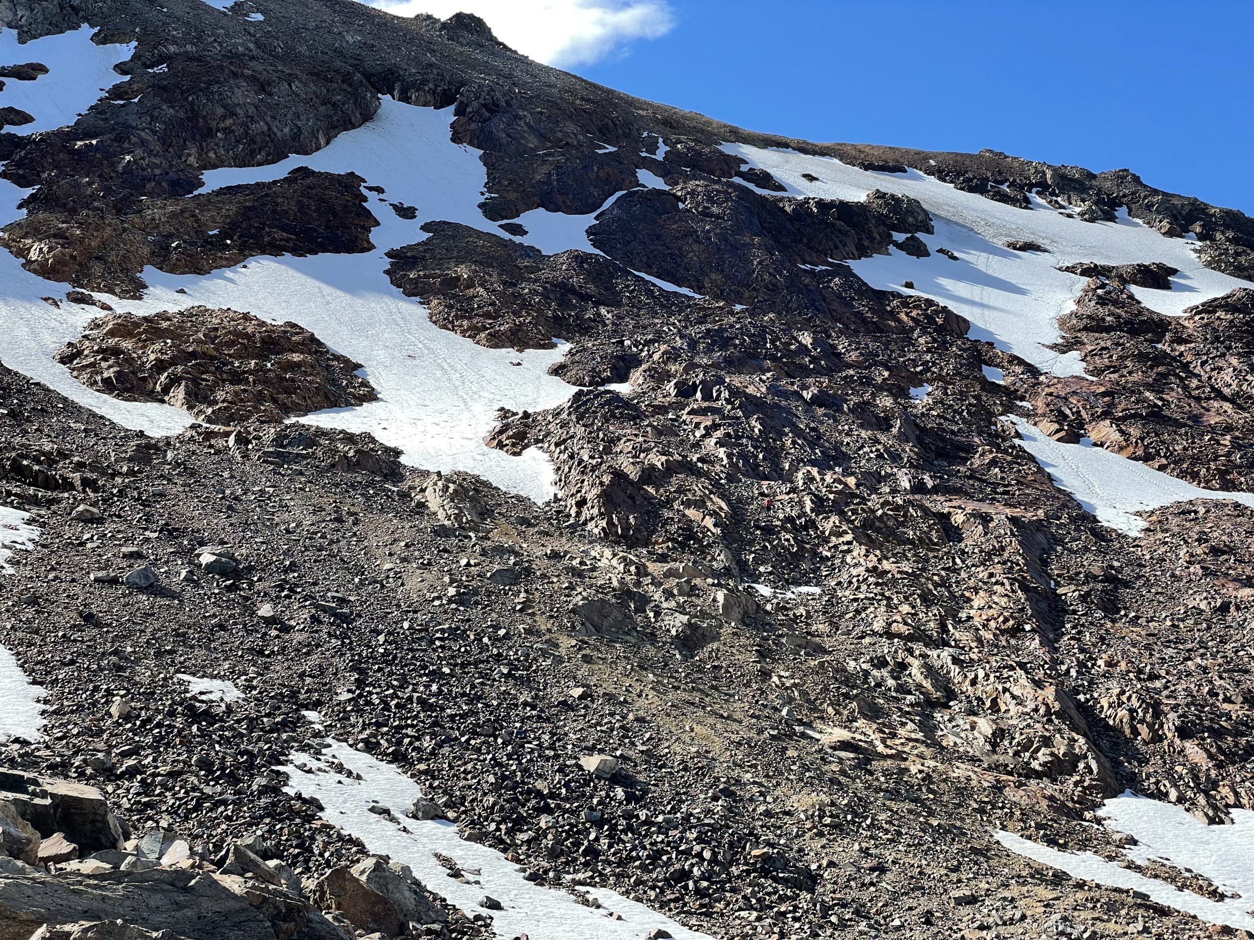
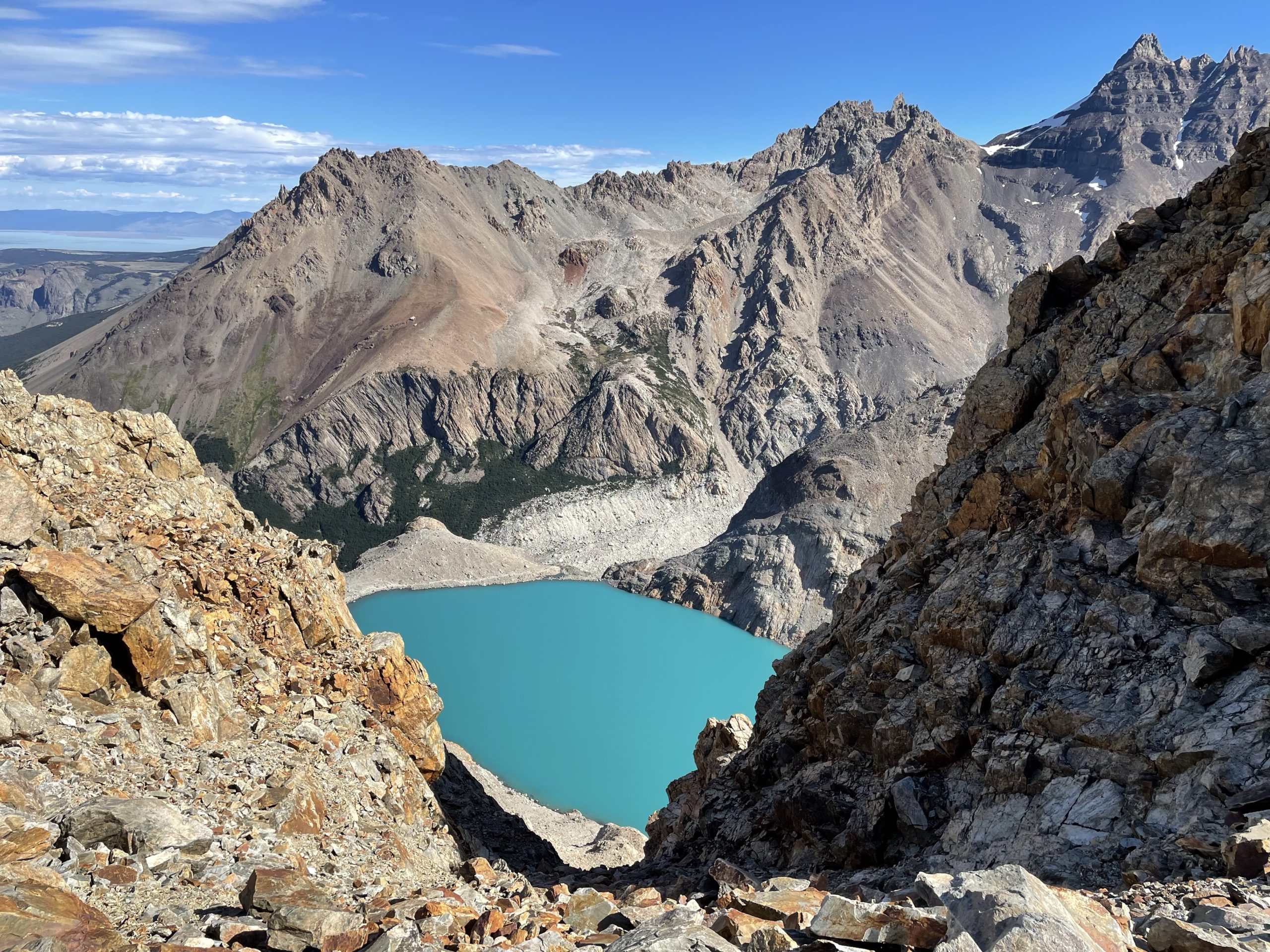
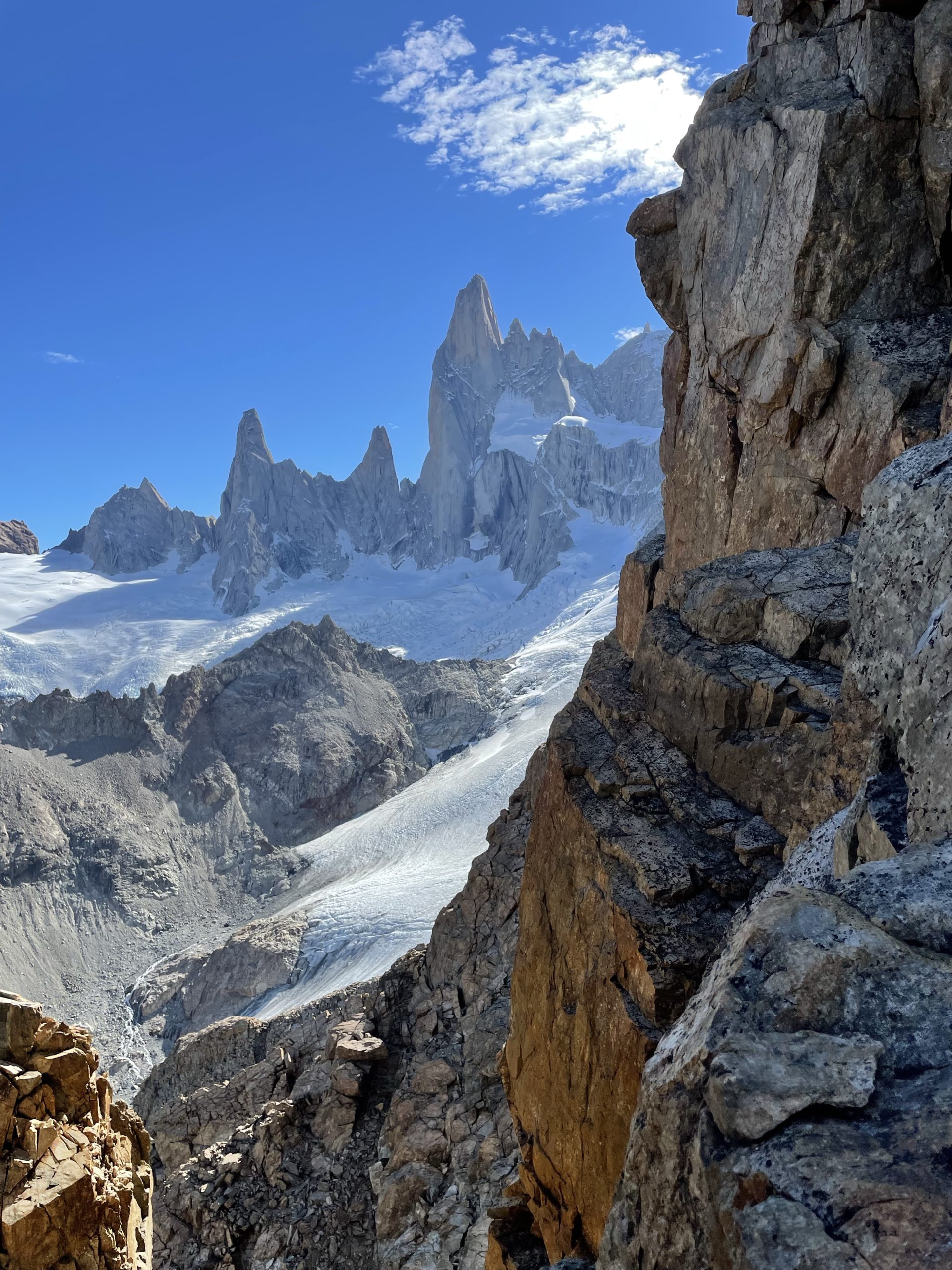
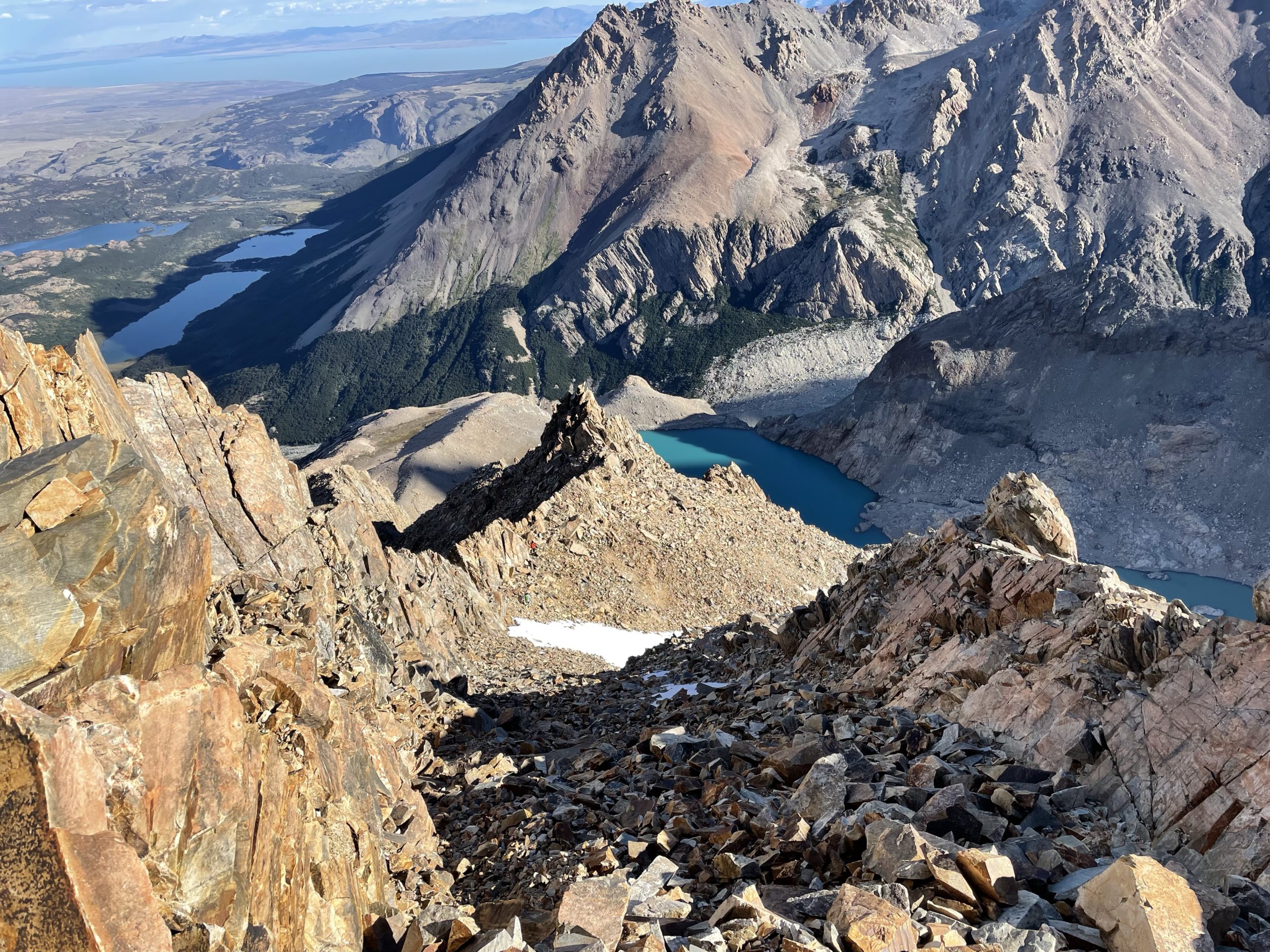
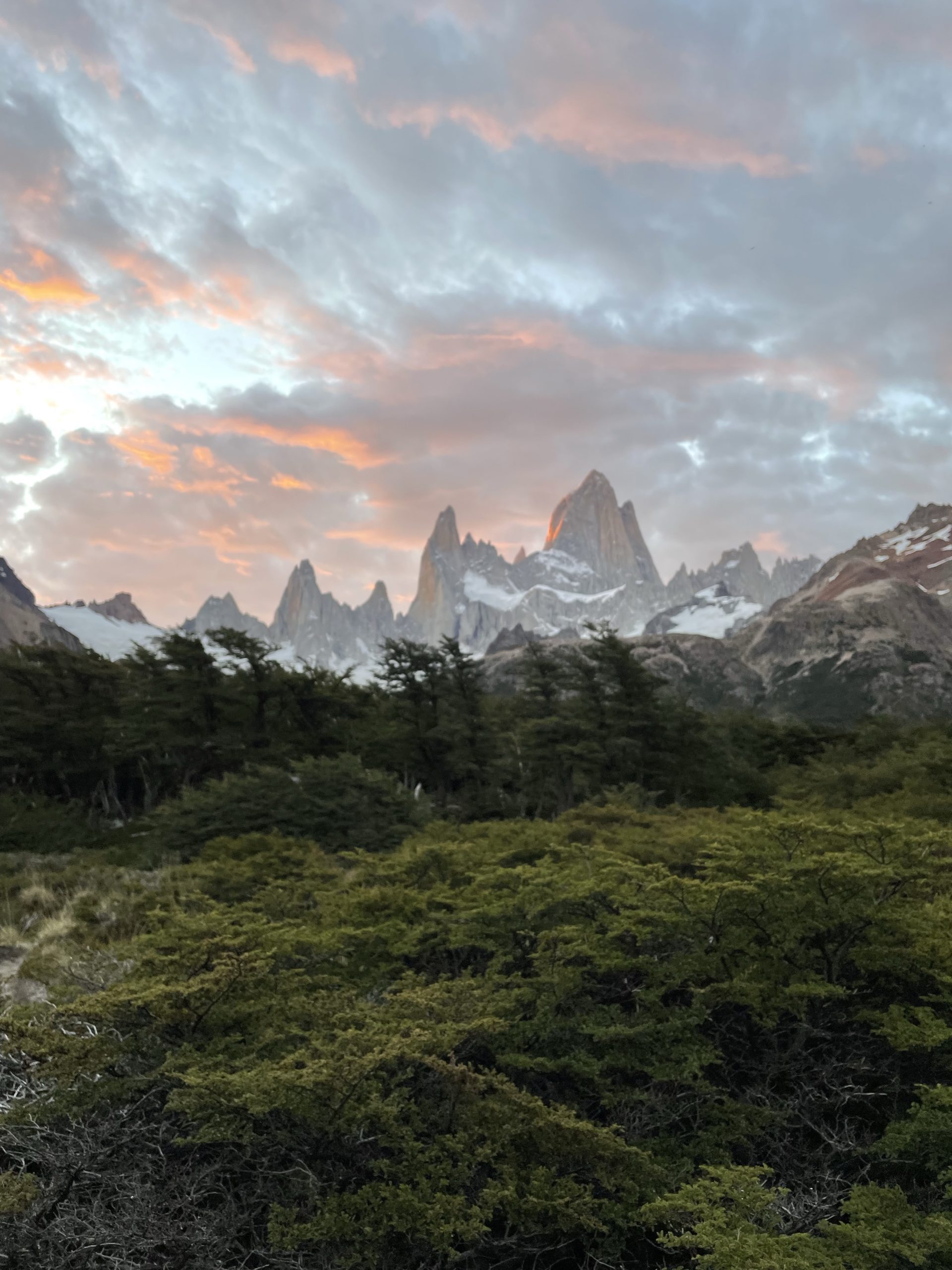
From the lake I could see an obvious route to gain the mid point on Madsen and I had offline maps with a trail marker showing the route as well. In my experience these markers can be totally hit and miss, so we planned to see how it went and adjust as need be. At the lake we stopped for awhile to have lunch and of course enjoy the phenomenal views of Fitz Roy and the surrounding range.
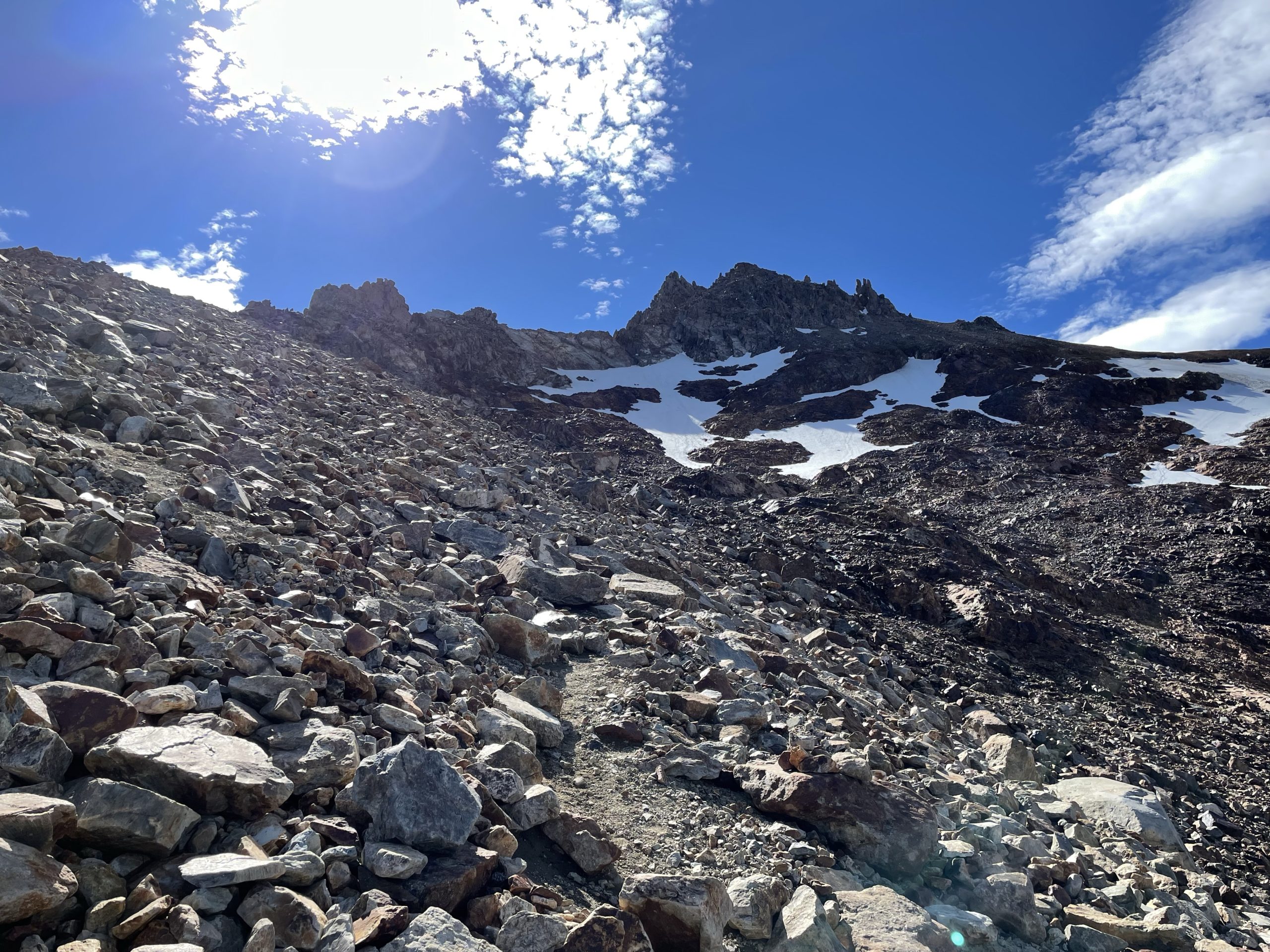
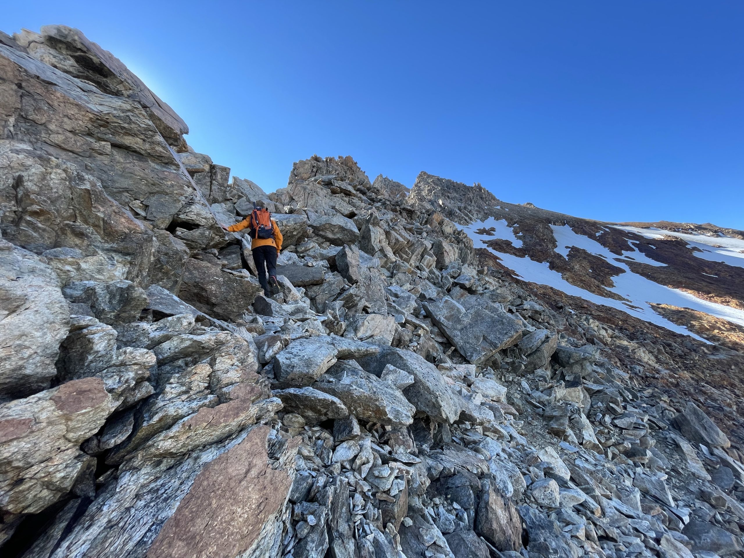
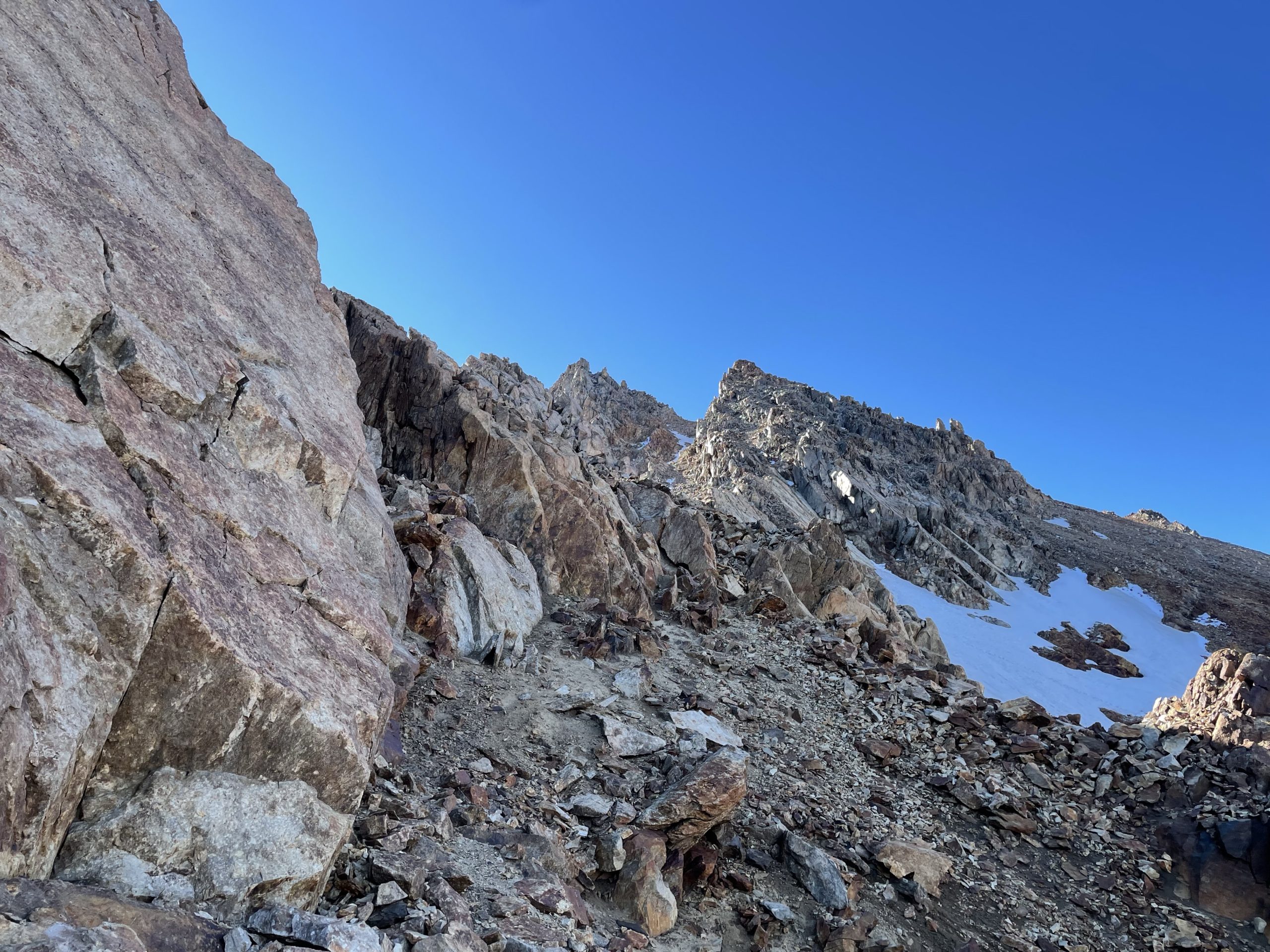
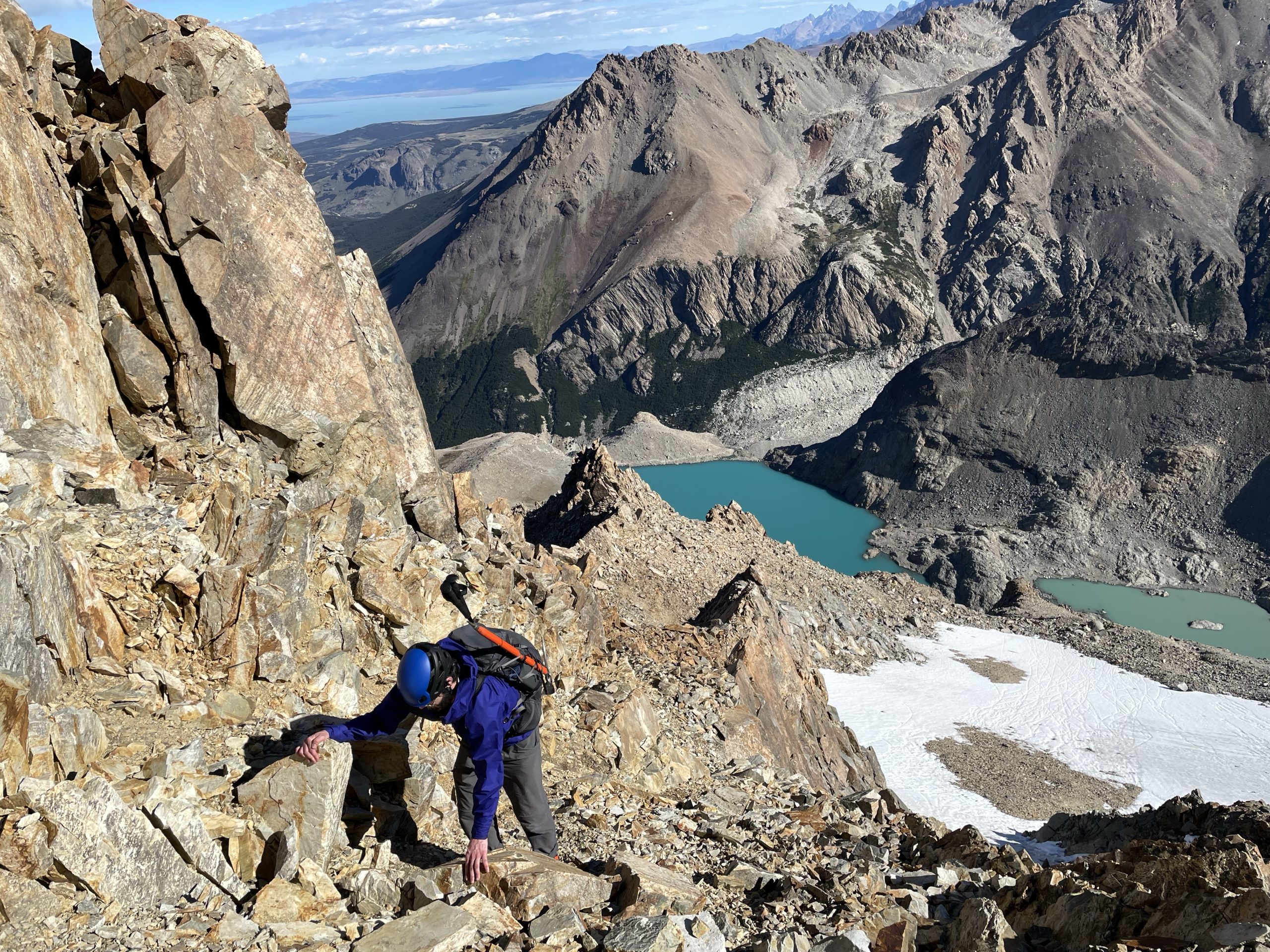
Once we were feeling ready to push on, we headed towards the north end of the lake and gained a small hill of glacial debris to get a better view of the route. The goal was to gain a ridge that ran all the way to the base of the summit towers in an L type shape. From our vantage I could see two options. First we could take a direct route to the ridge up a steep screw slope or meander diagonally across much tamer slopes to gain the ridge a bit lower down. I still felt tired after the slog up, so we took the lazier option going less direct to the ridge.
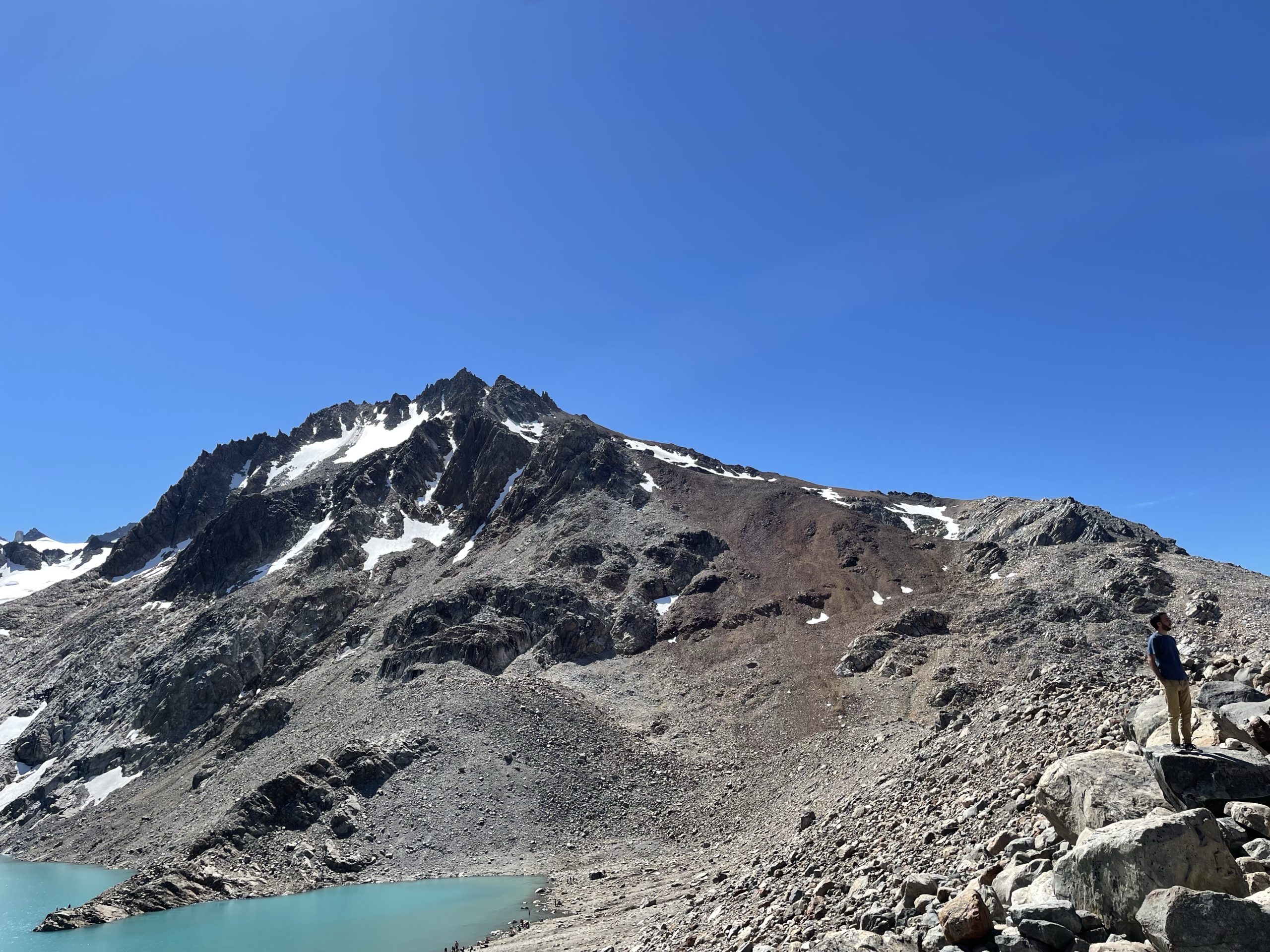
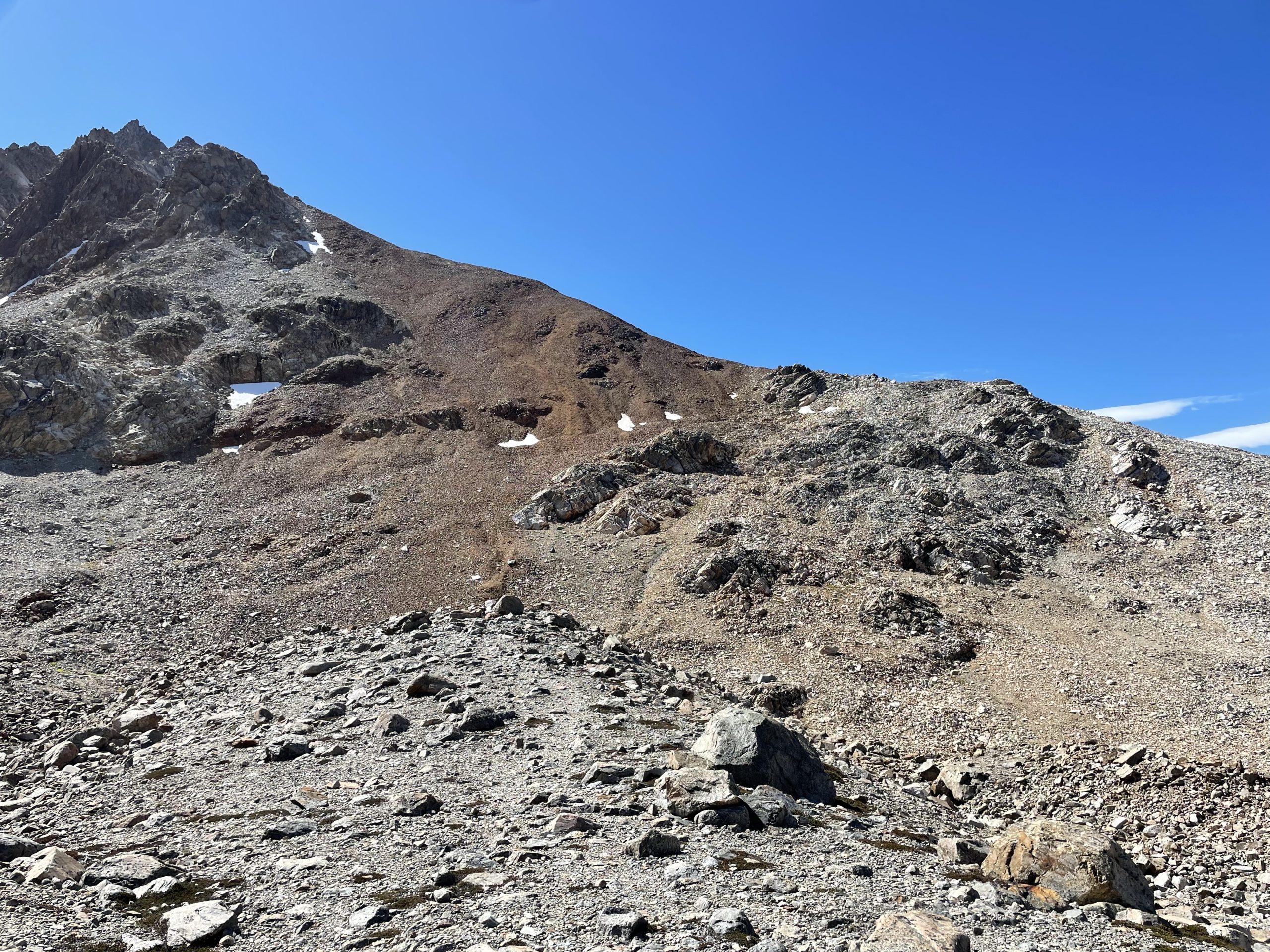

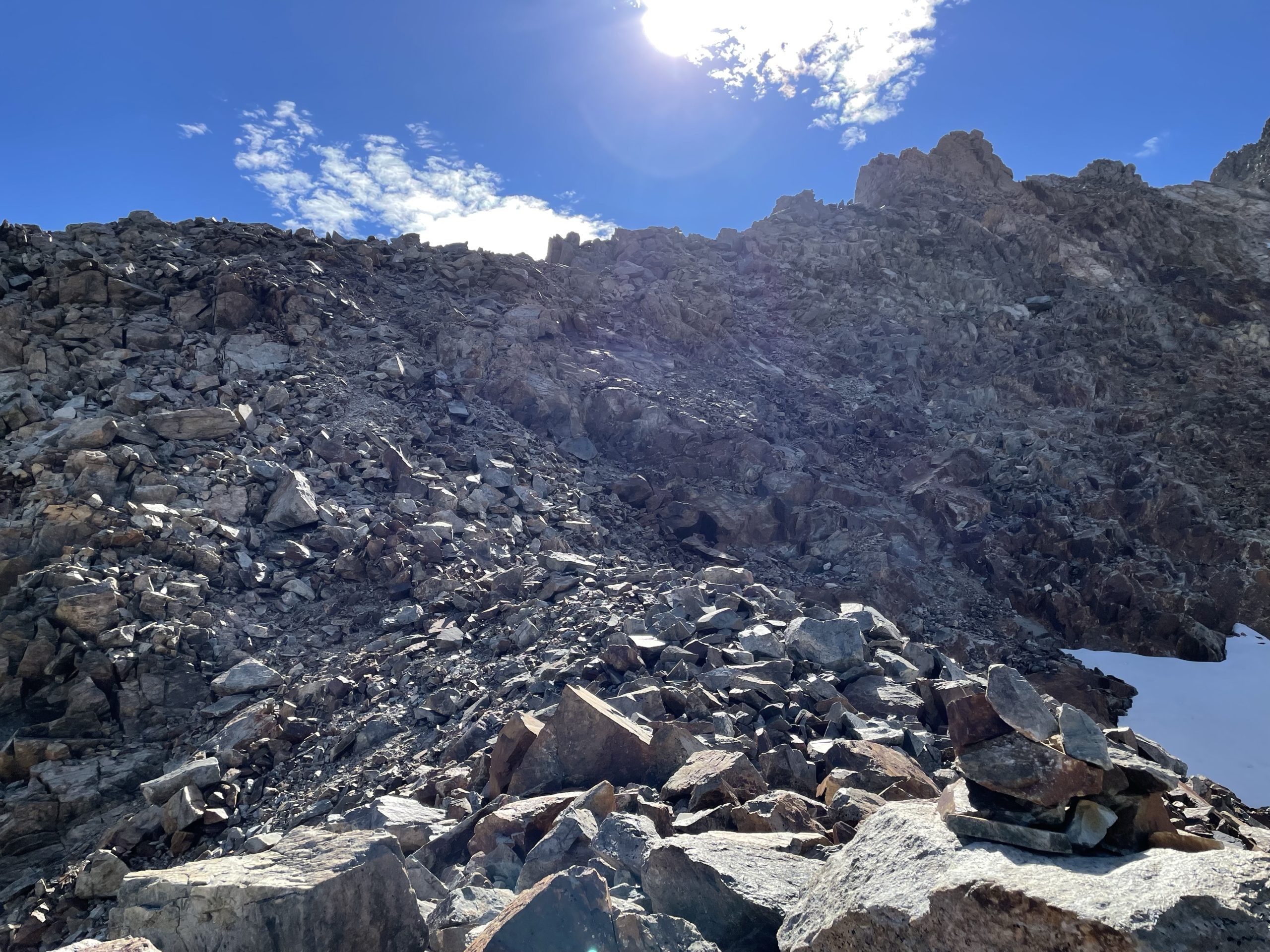
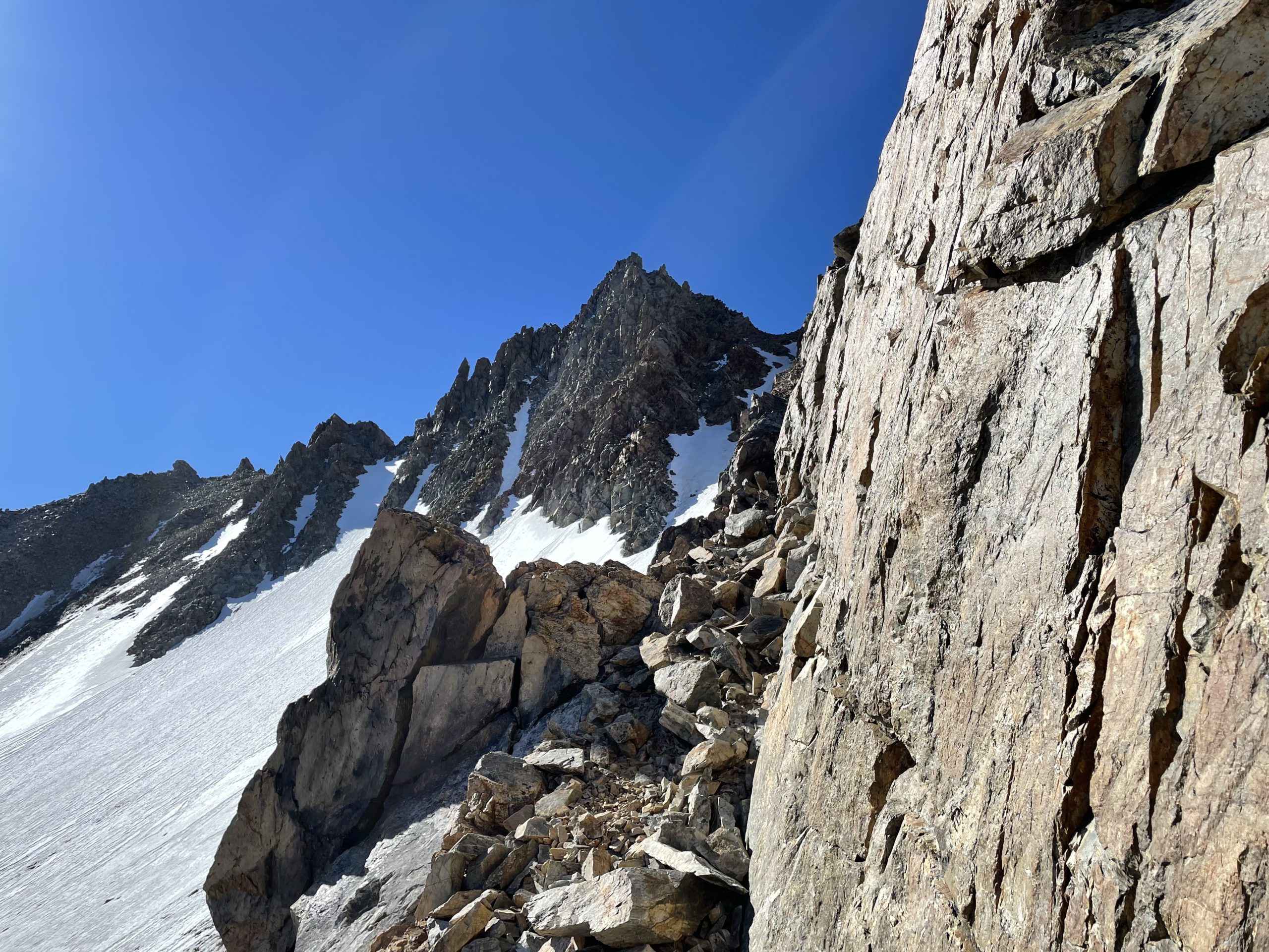
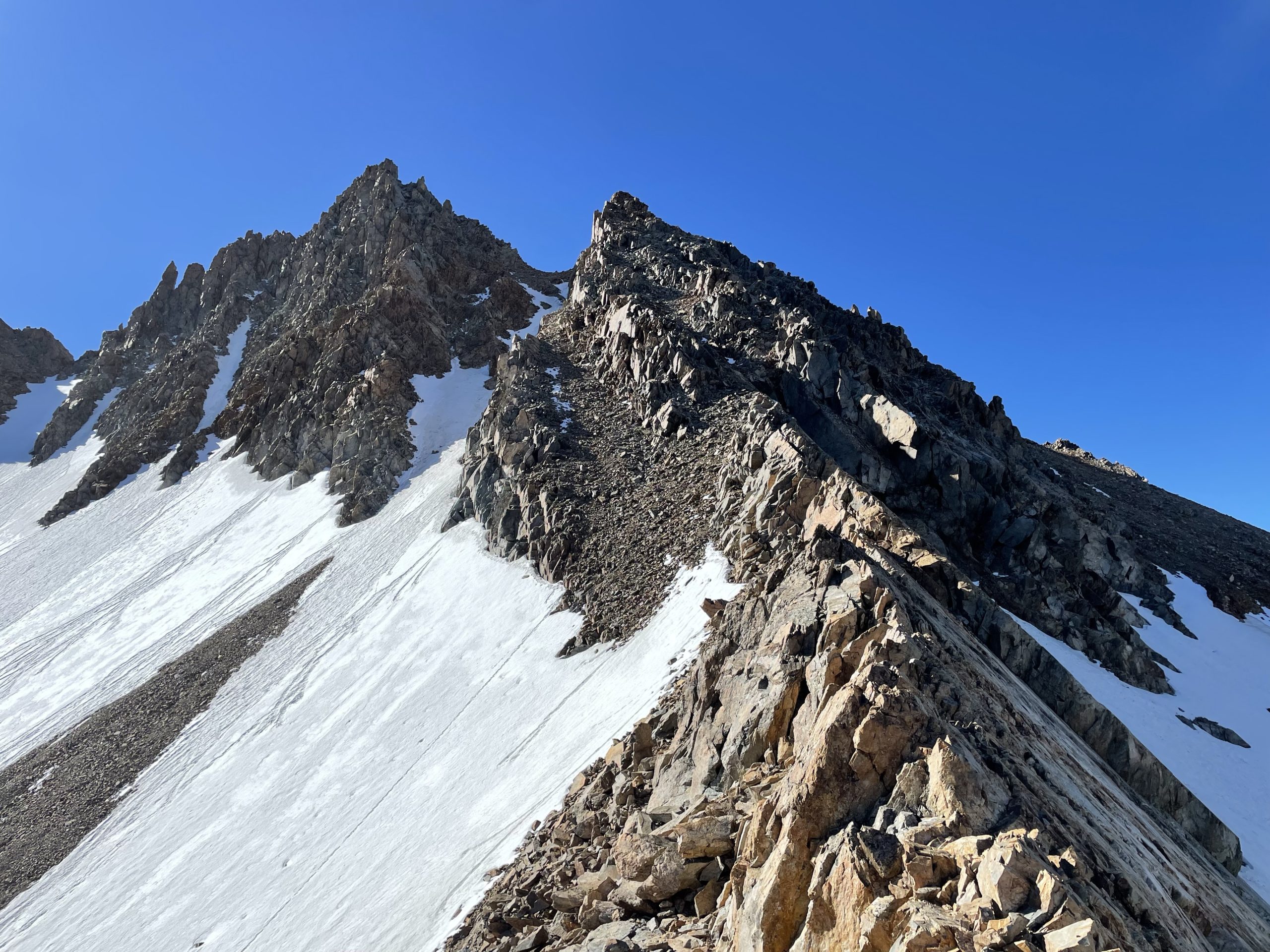
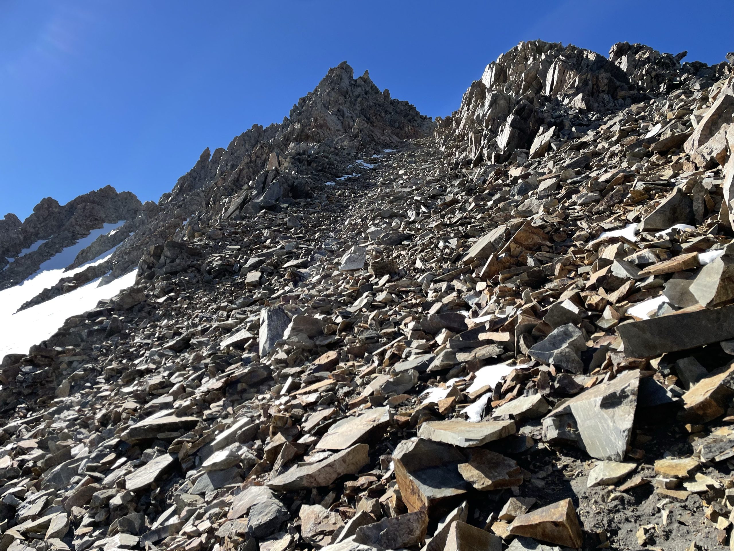
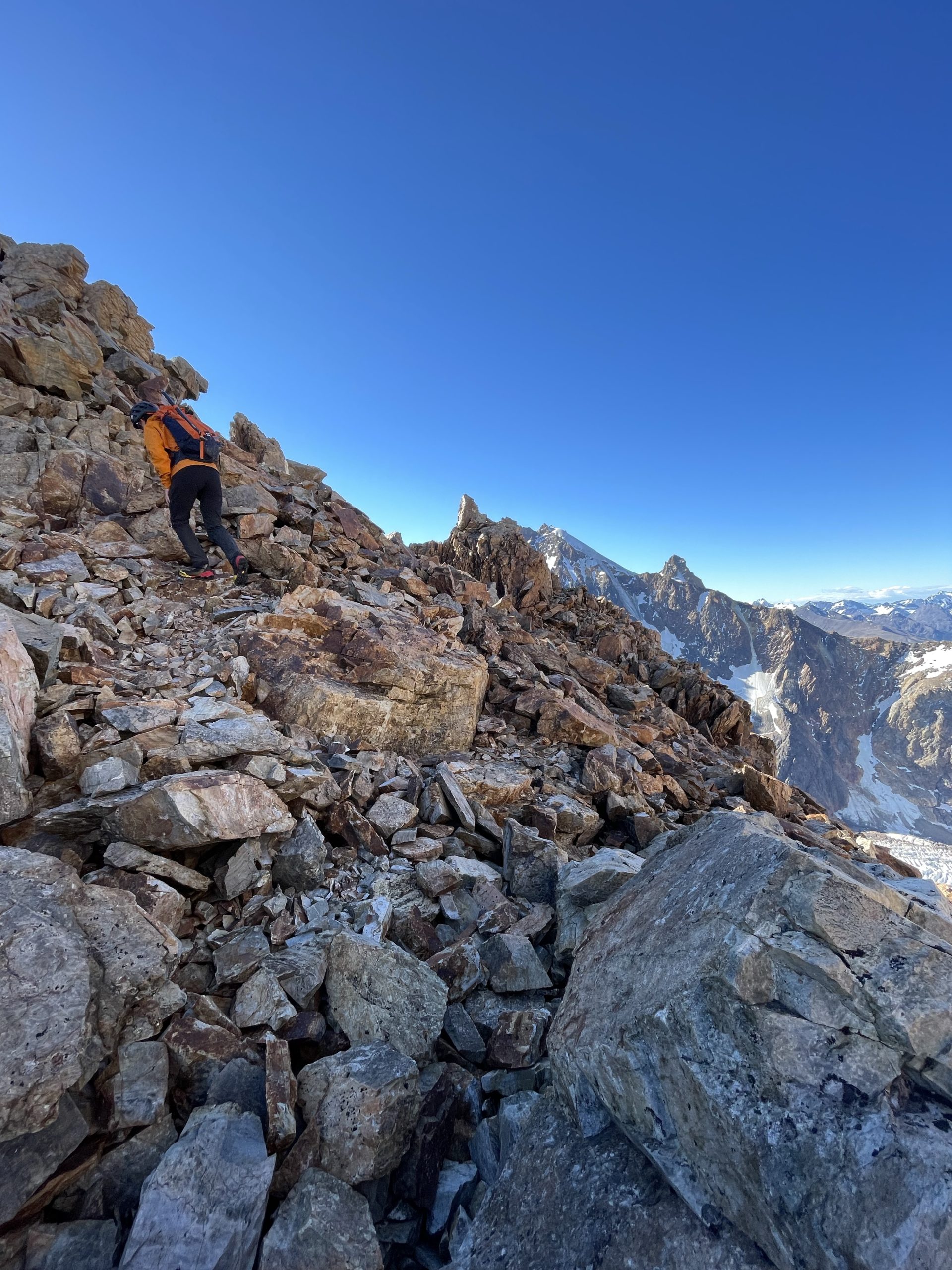
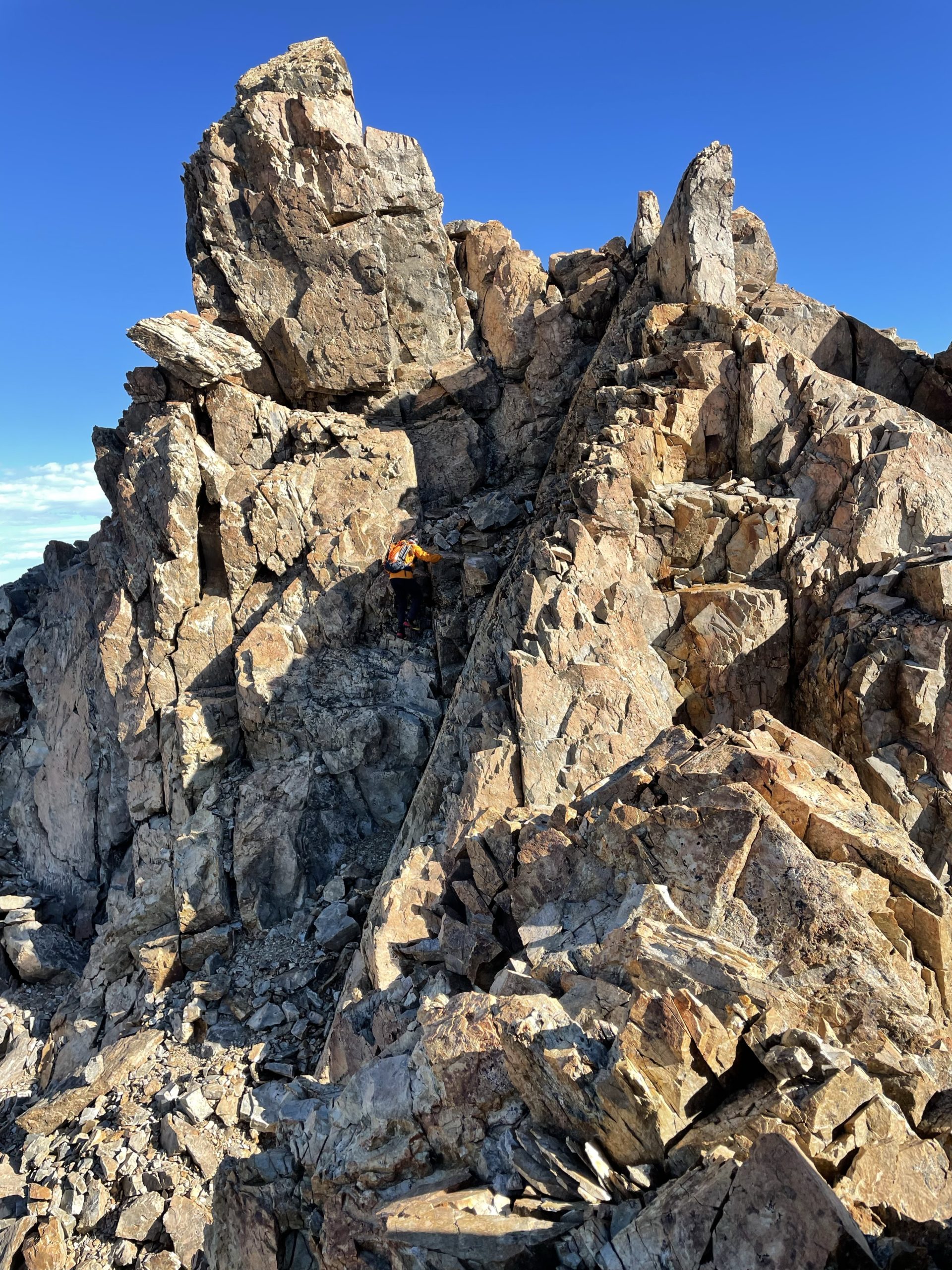
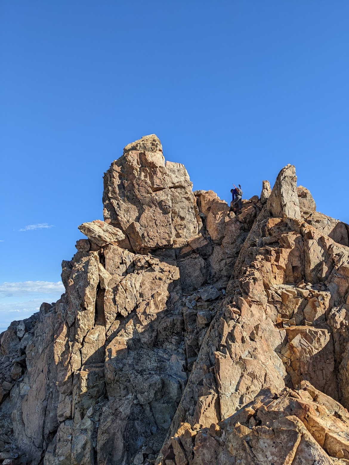
As we gained the ridge another group came up behind us and then passed not long after. They were equipped more for a hike than a climb, but they seemed to know what they were doing. Meanwhile, Jacob and I were following up close behind on the ridge using a worn foot path through the talus covered ridge. The ridge ran ahead a few hundred meters and then cut right and joined up below the summit block. Where the ridge cut right the terrain got more technical with large boulders, steep sections and what appeared to be a knife edge section before the summit block. I wondered if this was the 4th class section or not.
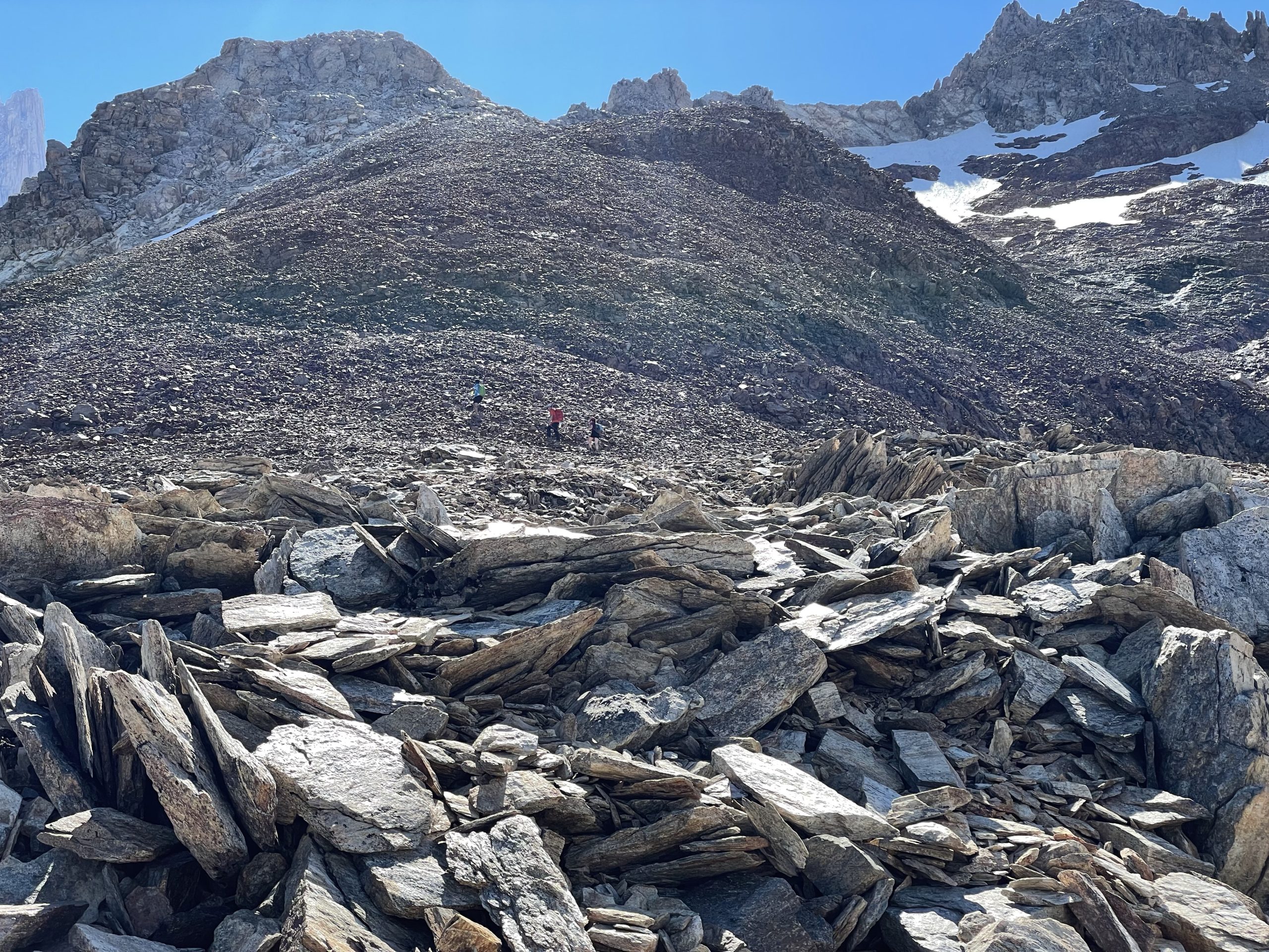
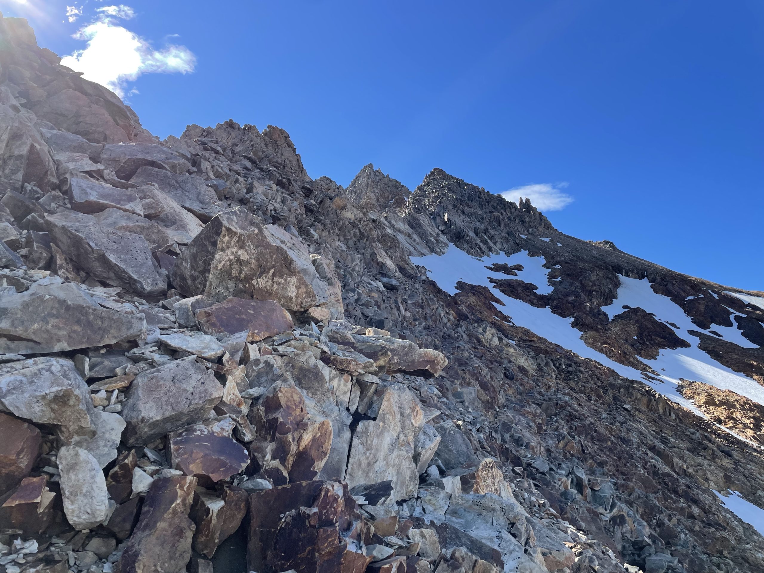
We continued up the ridge and watched as the group ahead veered off the ridge and cut across a steep snow field to gain the northernmost ridge. This ridge leads directly to the secondary summit tower and to me it didn’t really look like the best option. There was evidence of previous people crossing the snow field but I wasn’t convinced this was the route and opted to stick with the ridge we were on.
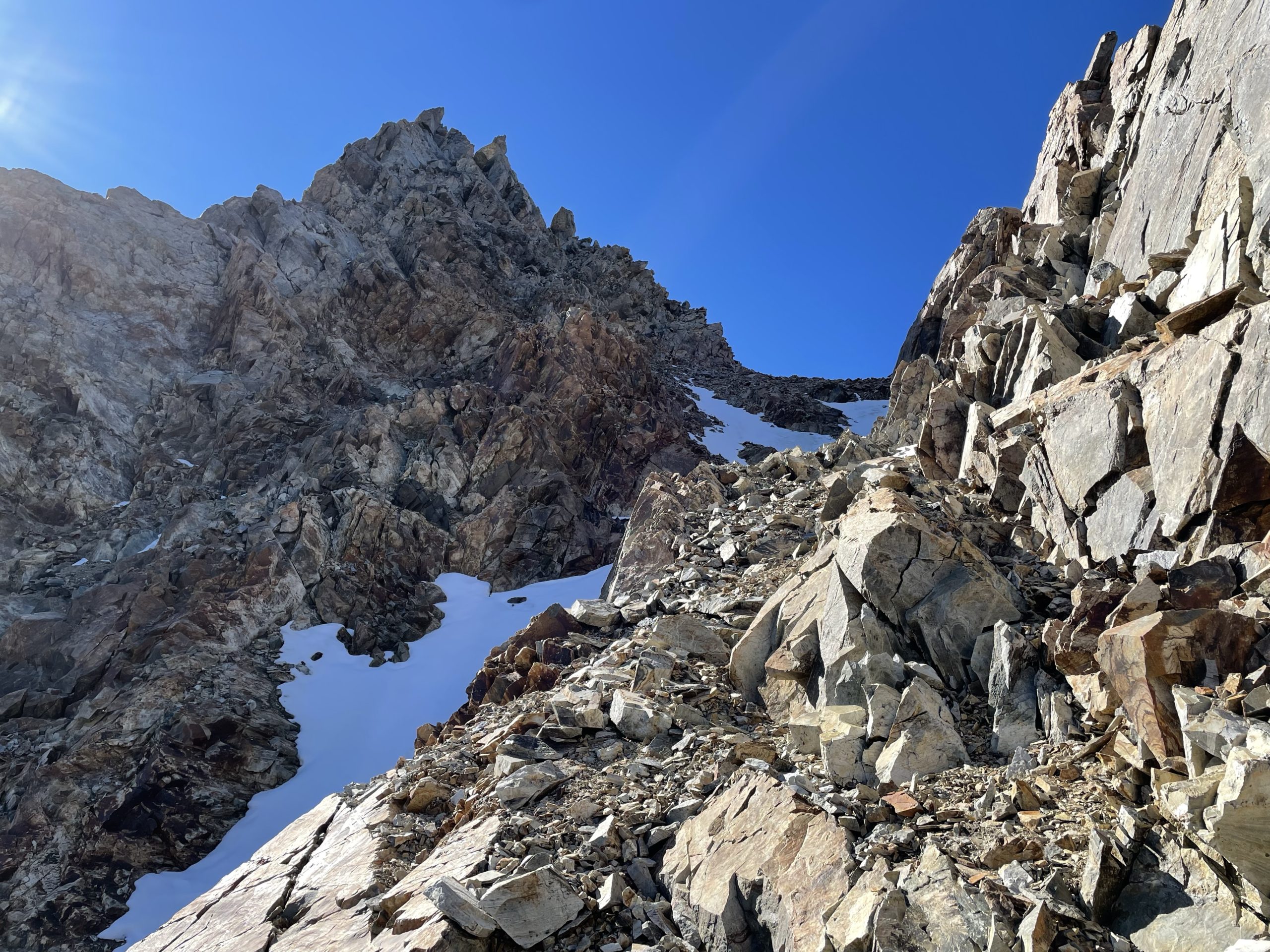
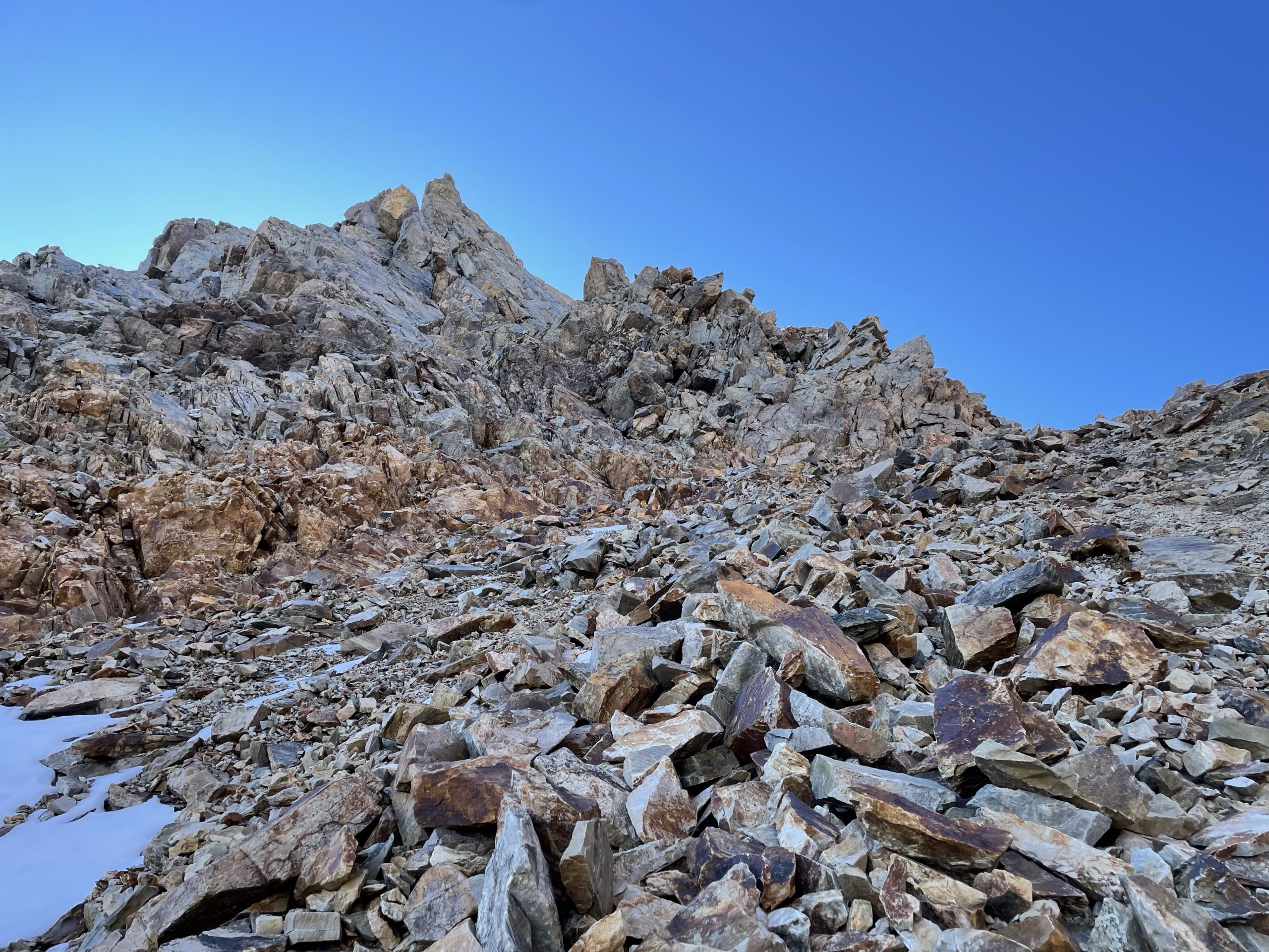
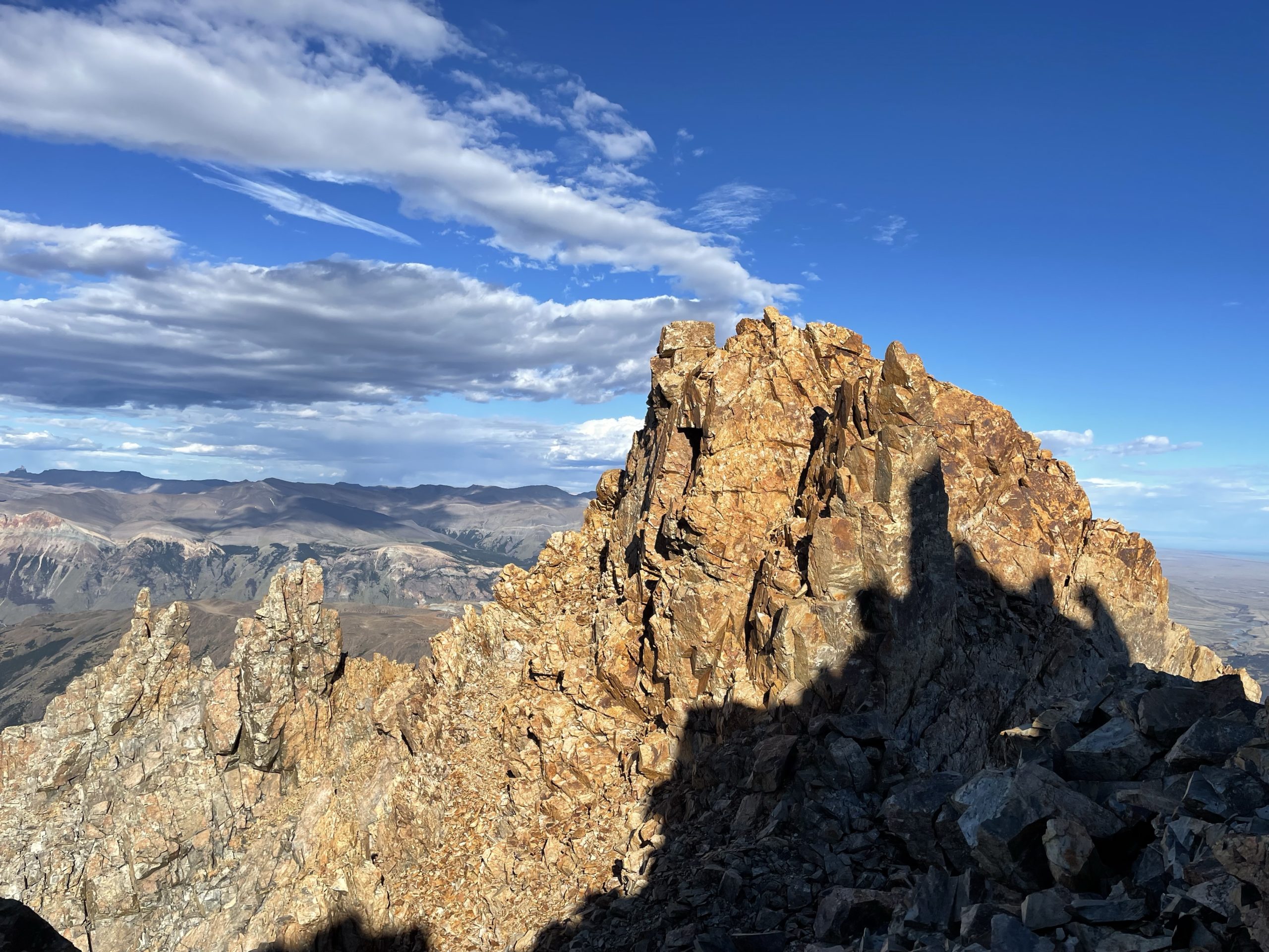
Just before the ridge cut towards the summit block, we encountered some 3rd class terrain and started to scramble up to regain the high ground. We continued along the east side of the ridge wrapping around a small tower and then hit the knife edge ridge. As it turned out the east side was steep slab and did in fact appear as a knife edge, however the west side was just a boulder slope that didn’t go more than 3rd class. So we jumped over to the west side and now had a clear view to the summit tower.
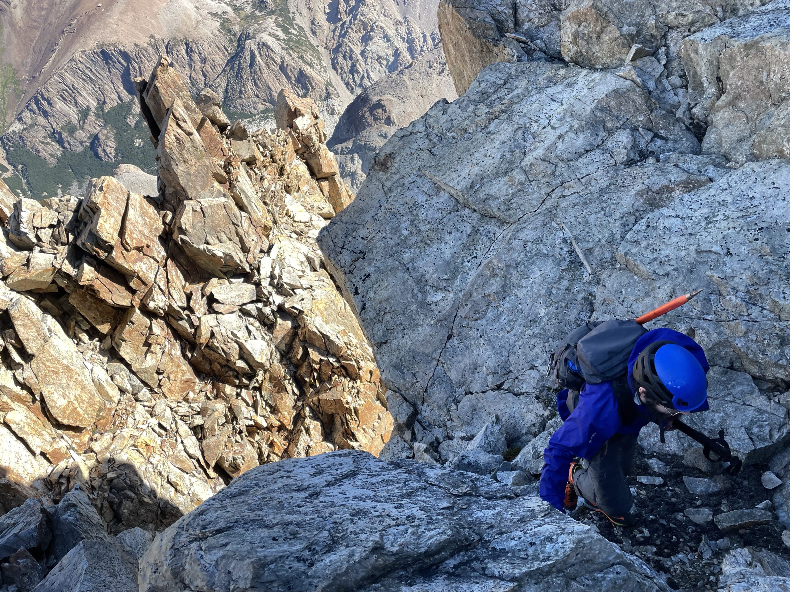
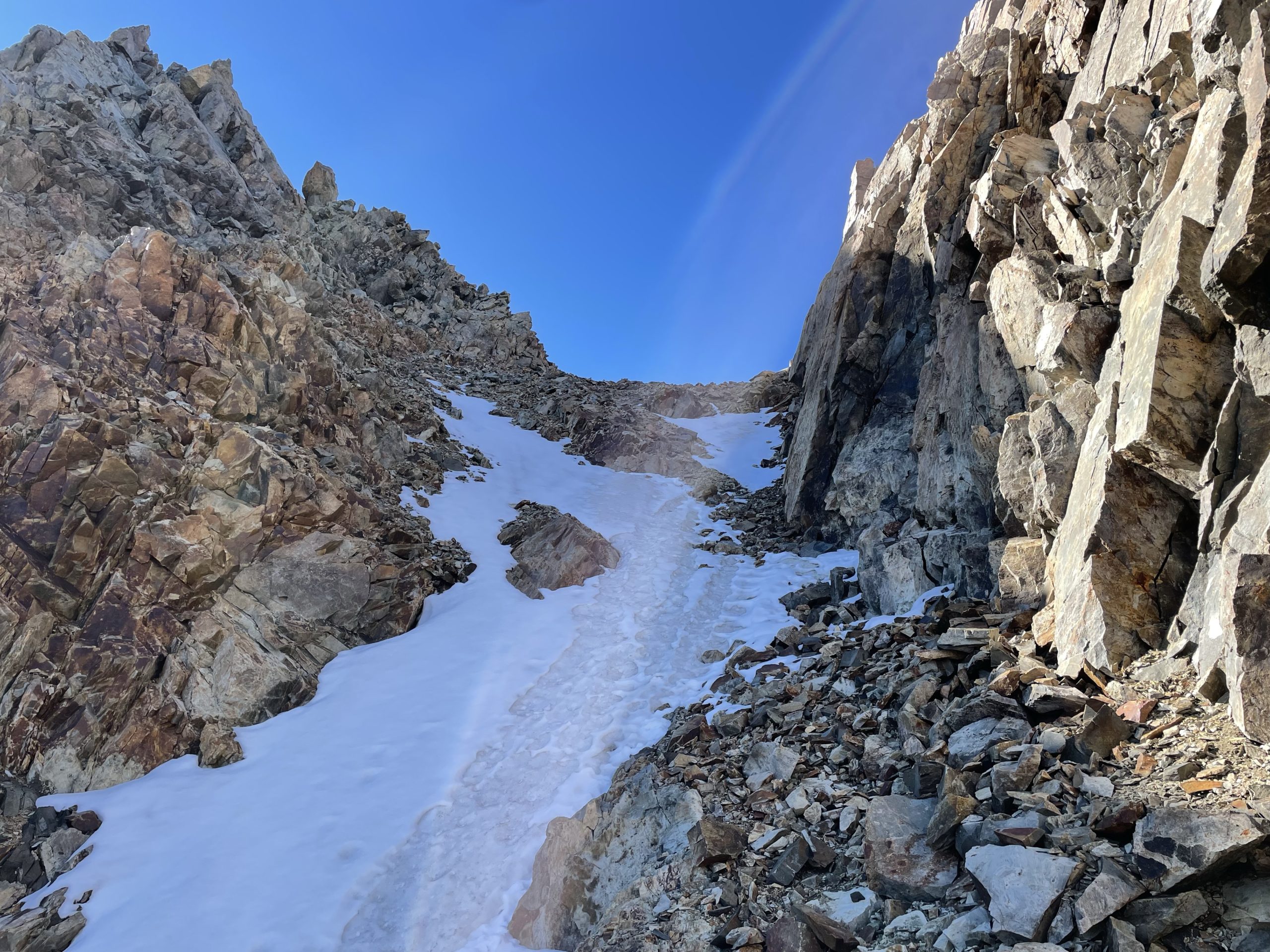
There was a gully that ran directly between the two tours and there appeared to be an option of steepish snow or steep talus. I aimed for the talus as the snow was too mushy this late in the day. The talus ramp was tricky to get up as it turned into a tread mill. Nearing the top the ramp narrowed down to a loose scree covered ledge with a 4-5m fall on one side. It was easy enough to traverse and then one more scree treadmill and we were at the notch between the towers.
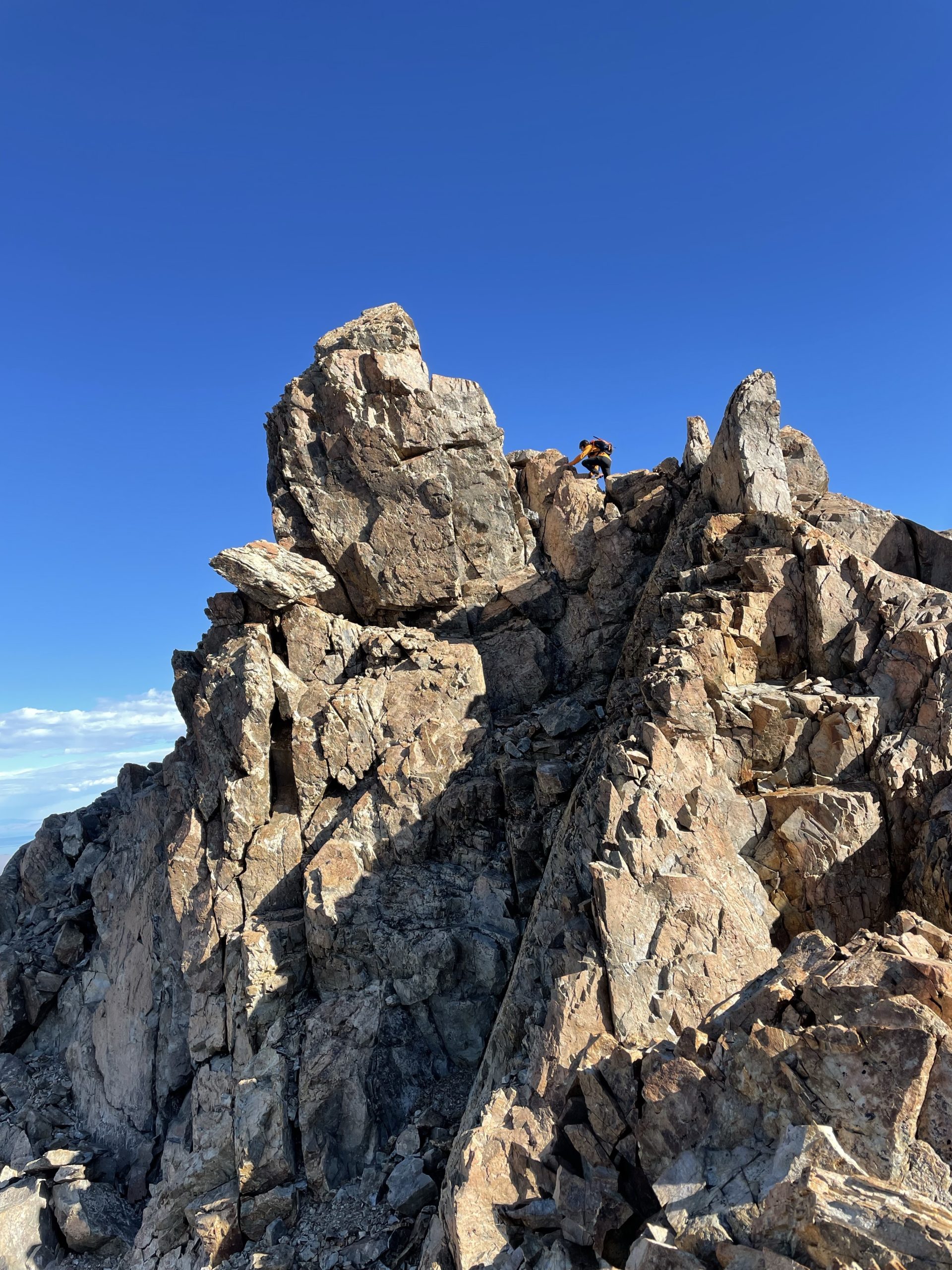
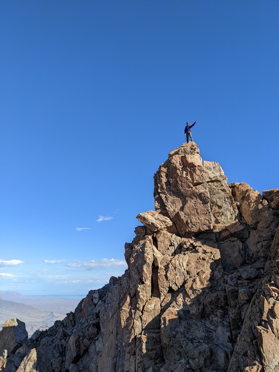
I climbed towards the summit tower at climbers left where there now appeared to be another high point even further on. I went to investigate and climbed to the top, but discovered the true summit was the tower immediately at climbers left from the notch. Nonetheless this spot made a good vantage for photos and Jacob climbed up to snap pictures while I ascended the tower.
The climb up the tower was incredibly fun. It started as easy 3rd class climbing up to a small ledge. Then an exposed 4th class move up to the final point. There were a few good hand holds but they weren’t easy to find and the foot holds were lacking a bit. Once on the summit there was barely room for one and the surface was down sloping towards the most exposed section. At the top I could see the second group had made their way to the lower summit tower but didn’t have a good way of reaching us. I’m certain there is a route up from the ridge they took, as the north side of Madsen is tame scree slopes. However they’d have to down climb a ways or seek a route not visible from their vantage to get down.
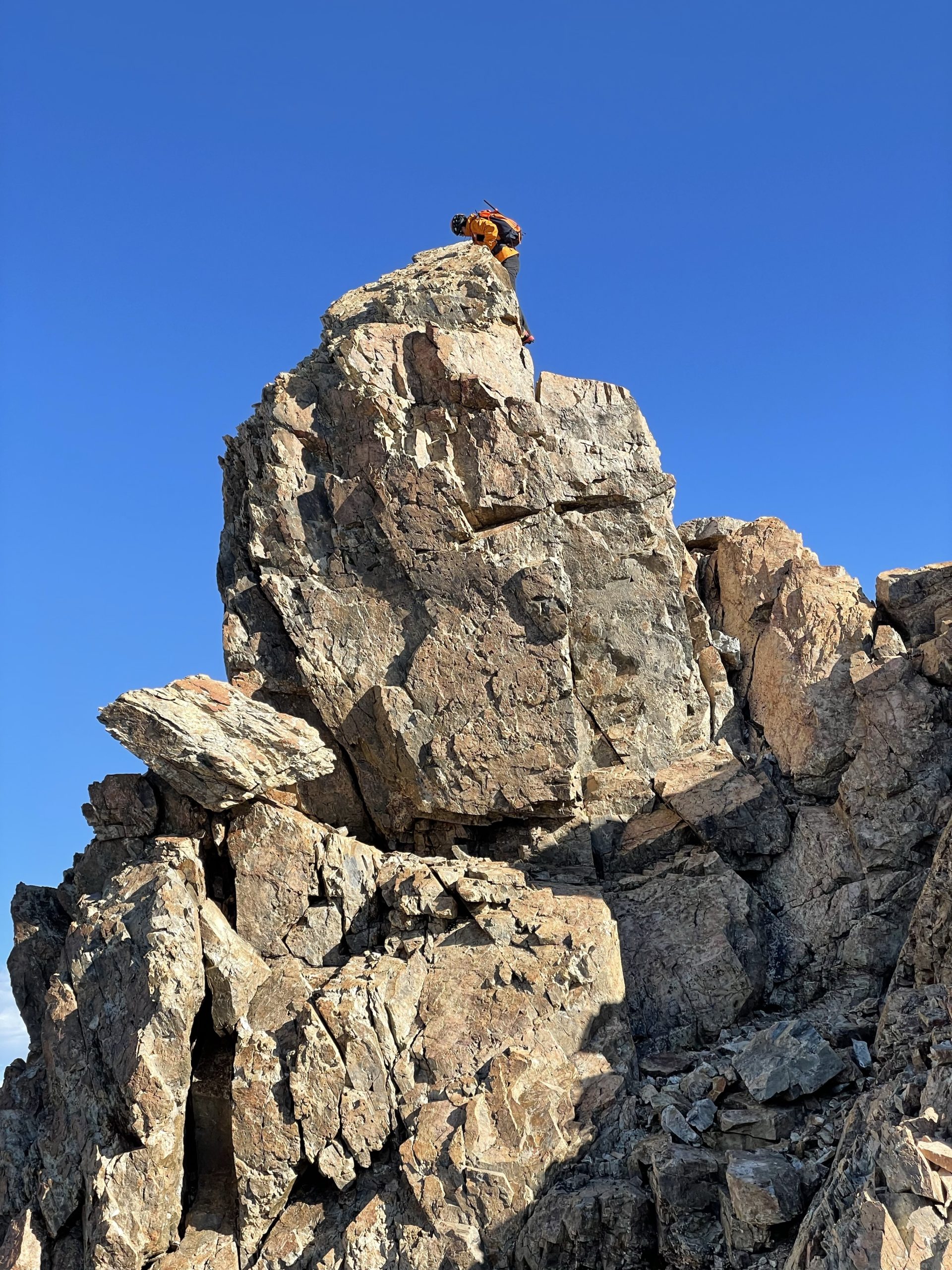
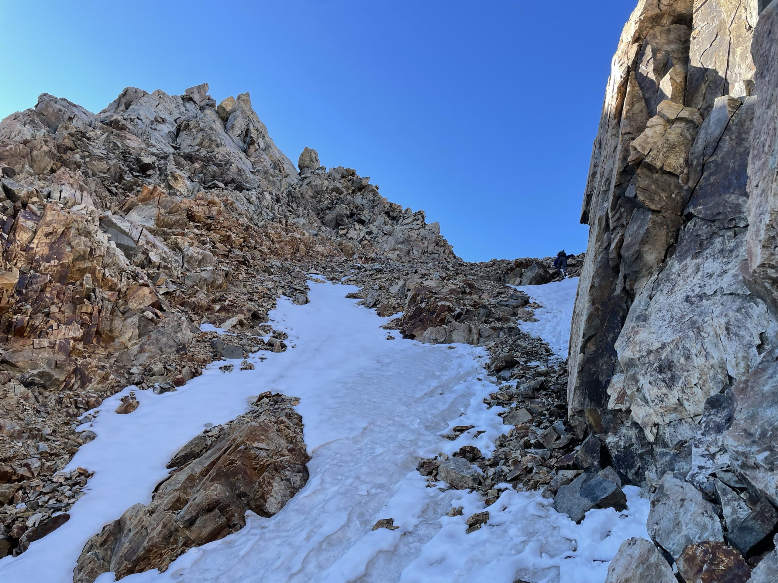
I posed for a few photos and then down climbed carefully and back up to the photographers spot. Jacob and I swapped places and then he his way to the top. After we finished on the summit, we started our descent back down from the notch. Coming down the section immediately below was a bit tricky as the majority of the scree slope was giving way with each step. I was worried it’d give way down the snow slope so opted to down climb small snow patch at climbed right instead. Jacob followed suit and before long we’d made the bottom of the talus ramp. The other group was now visible heading down; having given up on their attempt.


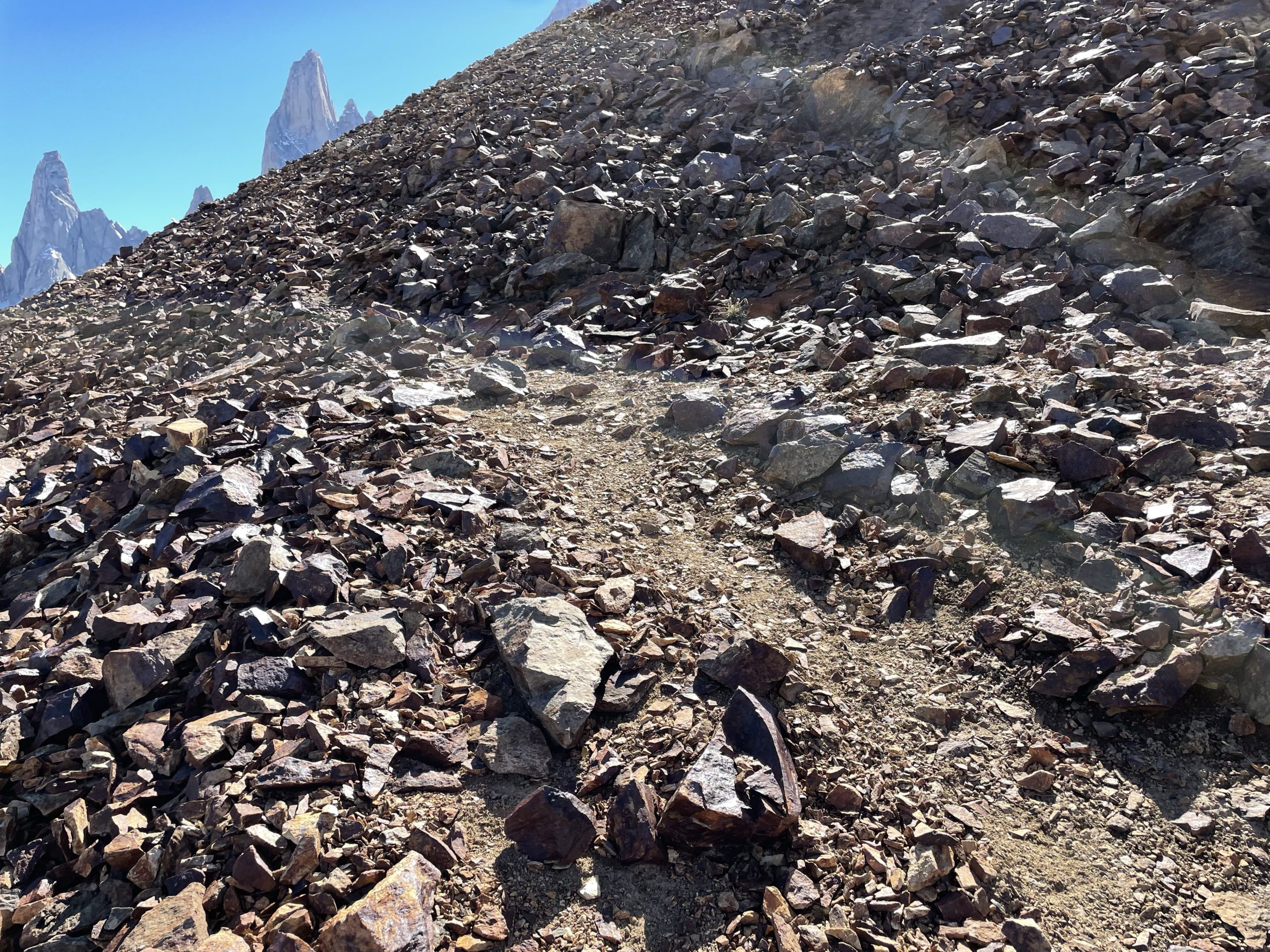
We continued our descent down the ridge until we hit the tamer talus section again. Then it’s an easy return towards the lake. This time we boulder hopped around the small hill near the lake and rejoined with the trail. Once we rejoined with the approach trail it was a long slog back. I had to stop several times to rest and snack. The cold was taking its toll. We walked on until it turned dark and arrived back in town around 11:30pm. Every restaurant had closed so we just went to bed hungry but too exhausted to care.
It’s great to finally add some beta on this mountain and I have to say it’s an amazing scramble. The summit tower is super fun to climb, but I’d save it for a less windy day. The only down side is the long approach. On paper/maps it looks quick to reach Madsen but it’s at least 2.5-3 hours at a reasonable pace to even reach the base. Something to keep in mind.
Thanks for the detailed trip report! Think we’ll pass on this one, but the views look stunning. Appreciate you adding so much beta and photos