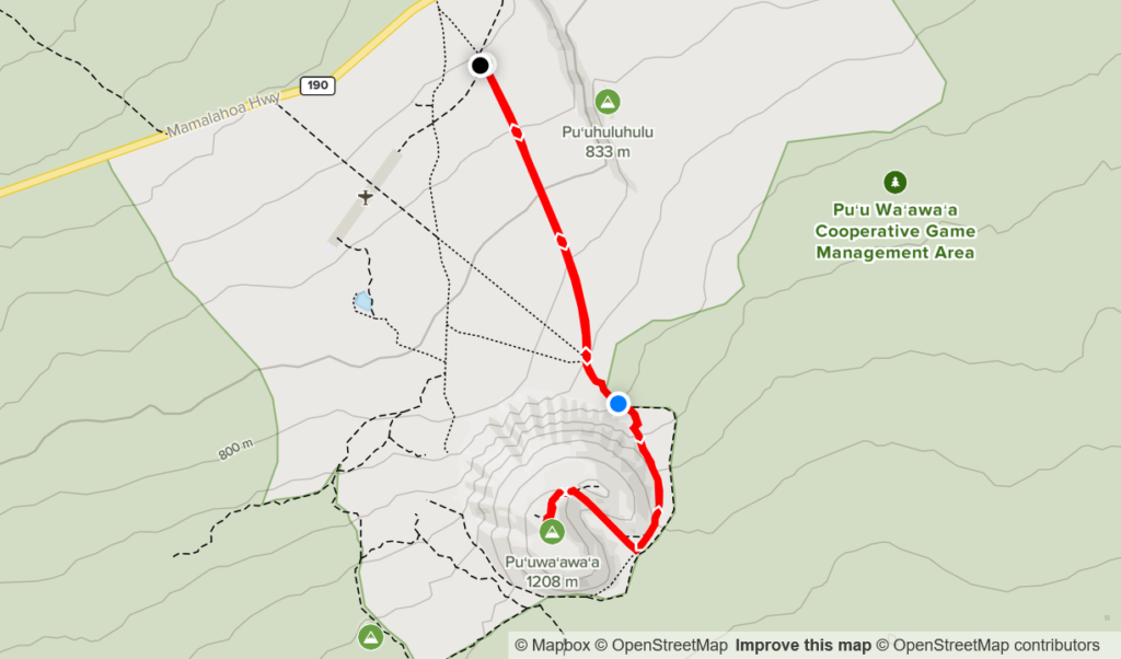
Elevation Gain: 570m
Distance: 10.79km
Total Time: 1 hour 55 minutes
Date: December 17th, 2021
Pu’u Wa’awa’a is an ancient cinder cone on the big island of Hawaii that translates to: “many-furrowed hill” according to my online research. The summit stands at 1208m and one can easily access it via a 5km service road and trail to the top. After some early morning surfing I was in search of an easy foray into the many peaks around the big island to do with my family. Pu’u Wa’awa’a came up as it was close to our accommodations, had established route info and could be done with the 2 hours we had remaining of sunlight that day.
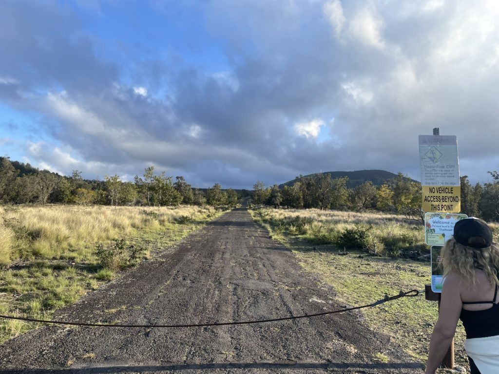
With the objective picked, we left our surf and lunch spot near Kailua-Kona and found our way onto the 190 highway. This highway skirts around the base of Mauna Loa and took us directly to the trail head. We only needed to drive an extra 600m on gravel road from the high way to reach the trail head. A sign at the automated gate stated no entry after 6pm. We had arrived at 4:30pm so I was initially concerned we’d be locked in. However, I found another sign near the trail head that stated be back no later than 7:45pm. This gave me confidence that the gate would at least let us out, but likely just kept new arrivals from coming in after 6.
Either way, we were going to have to hustle a bit to reach the summit and back before dark, as the sunset was for 5:48pm on this day. I gathered a small day pack and my mom and I set off down the road. The plan was to run as much of the distance as possible since it was an easy incline on a service road.
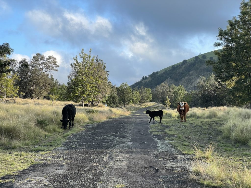
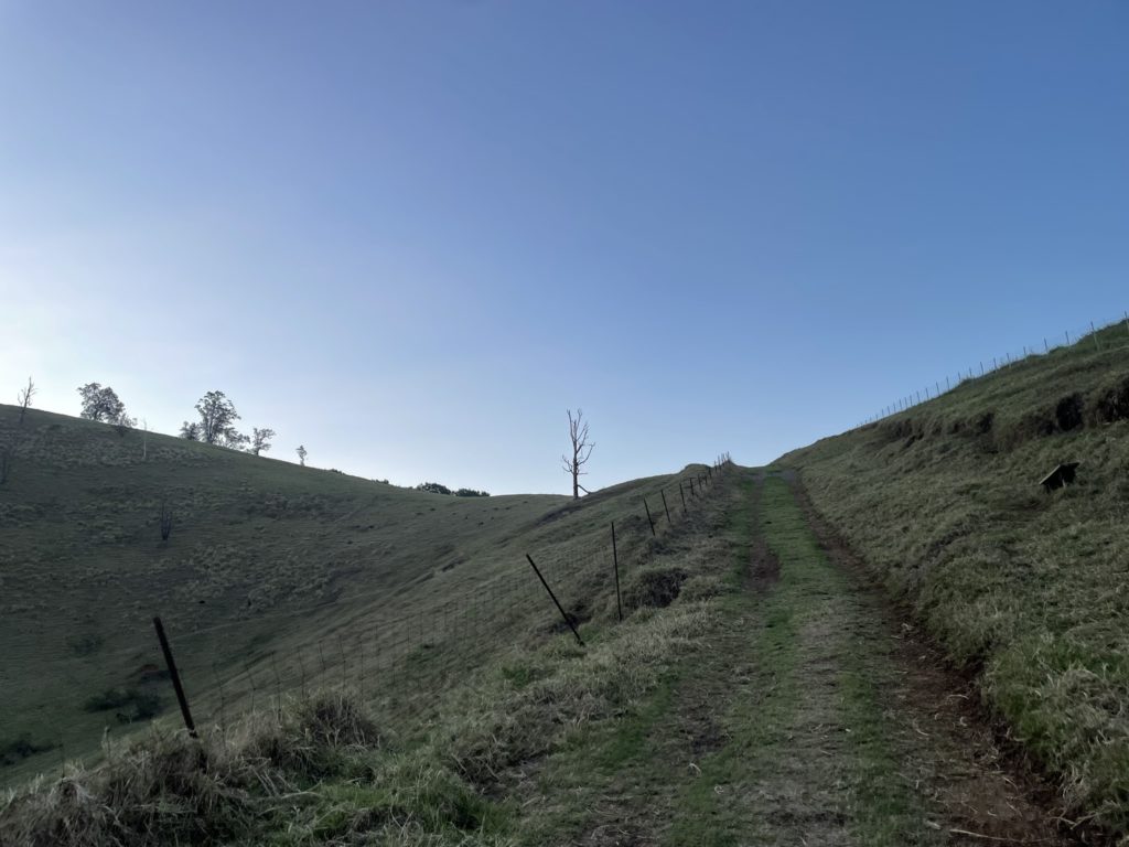
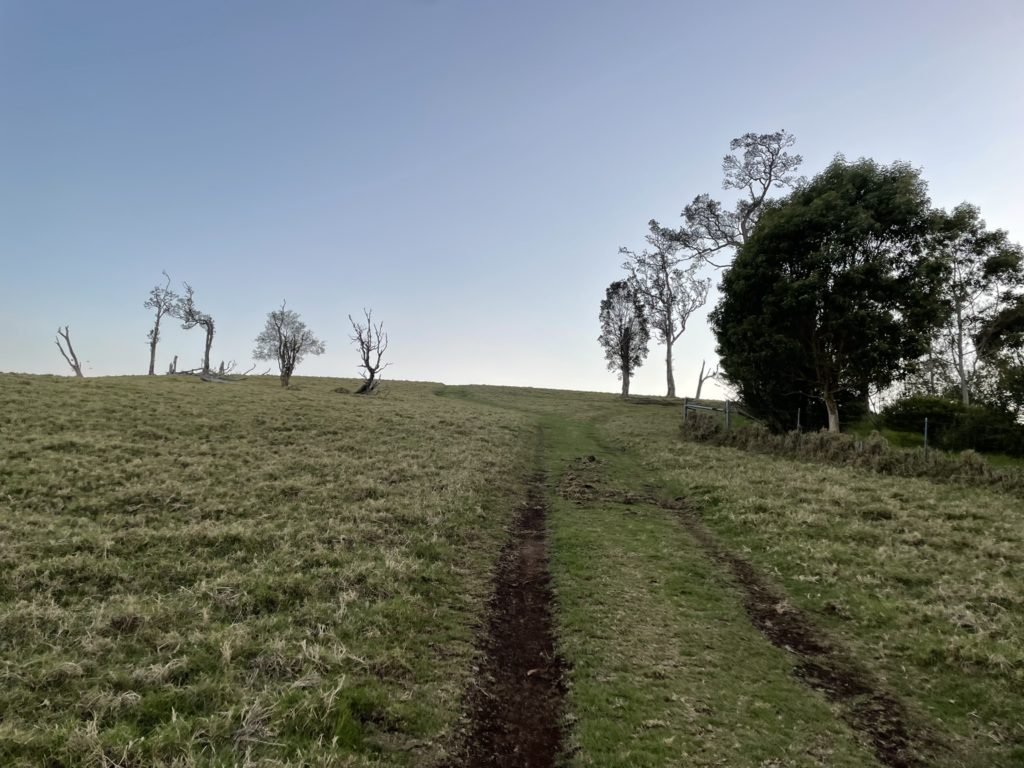
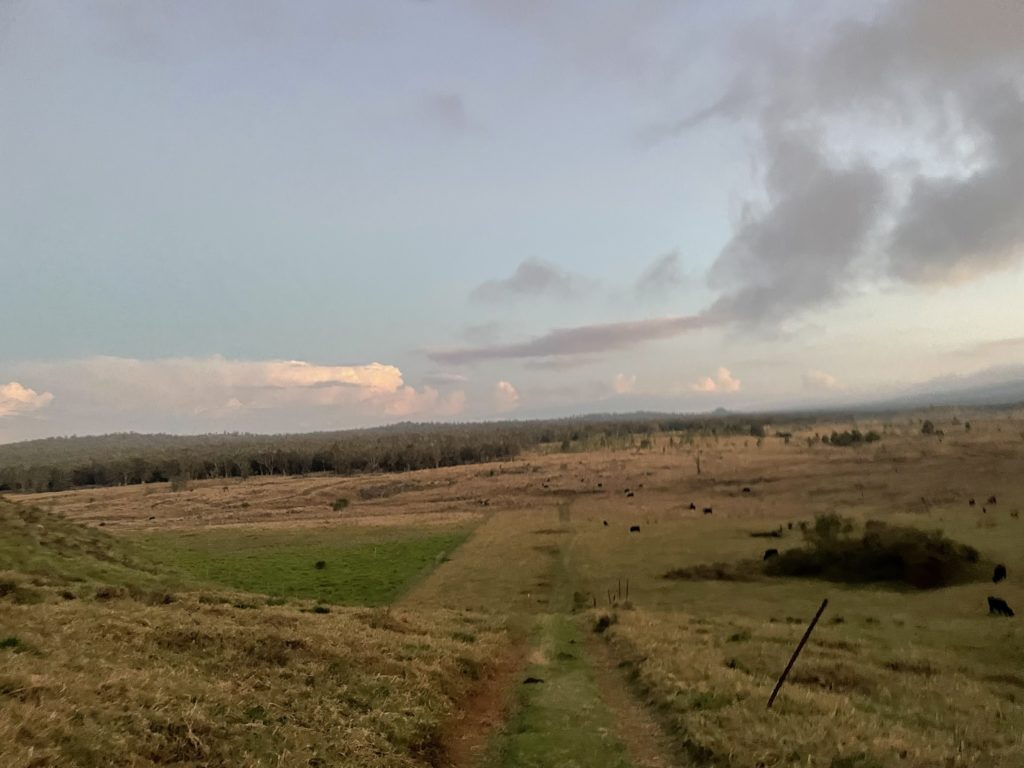
We didn’t hit a full running stride, but our run/walk combo ended up being a good enough pace to get us to the service road terminus with ample time left. The service road section was about 2.5km long and then it turned into a deactivated road/trail that cut around the eastern flank of Pu’u Wa’awa’a. The scenery around here was beautiful and the trail took us through herds of cows and sheep or goats grazing in the meadows. After another km through the meadows we had now circled around to the back side of: Pu’u Wa’awa’a and an old road led us up to the shoulder and then finally the summit.
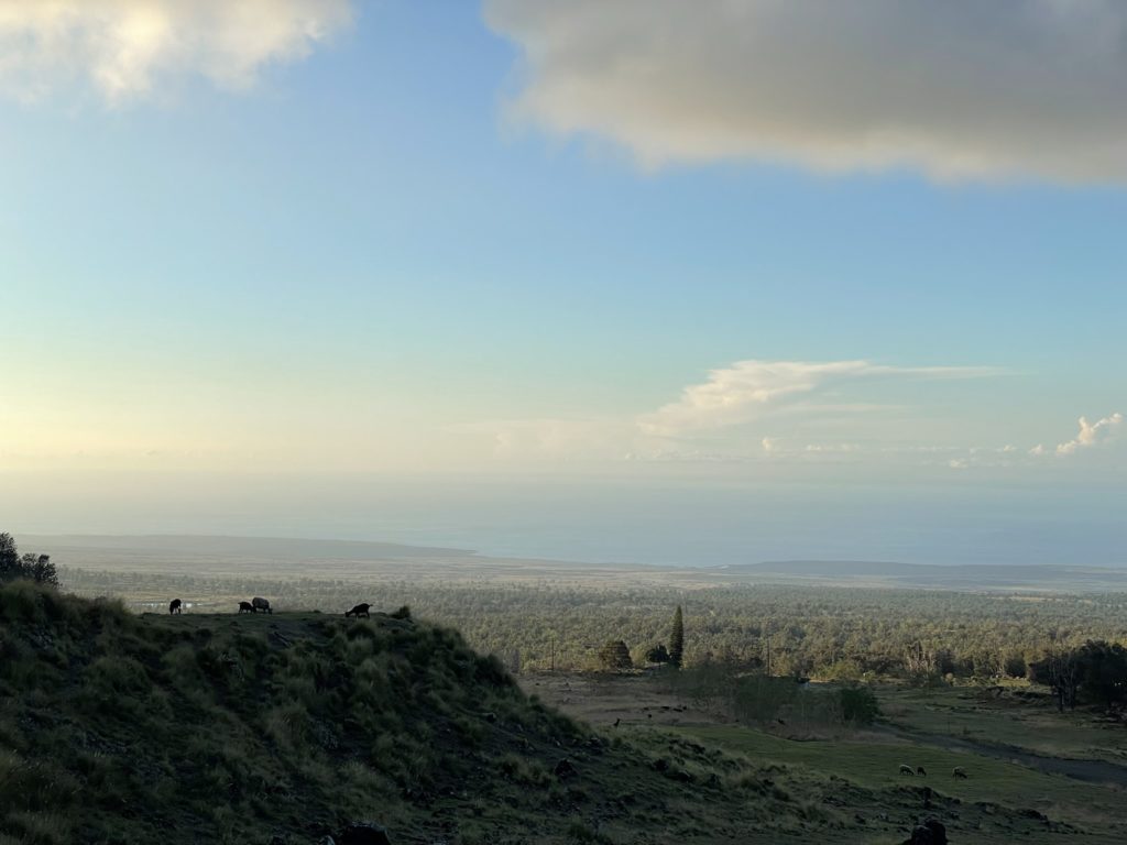
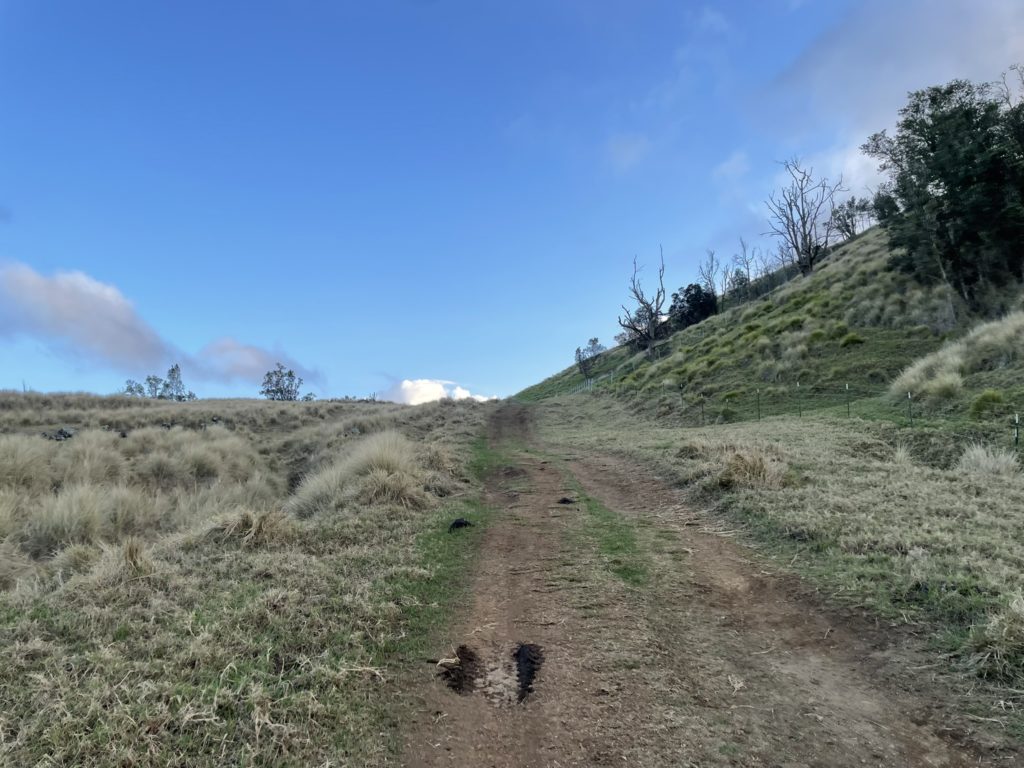
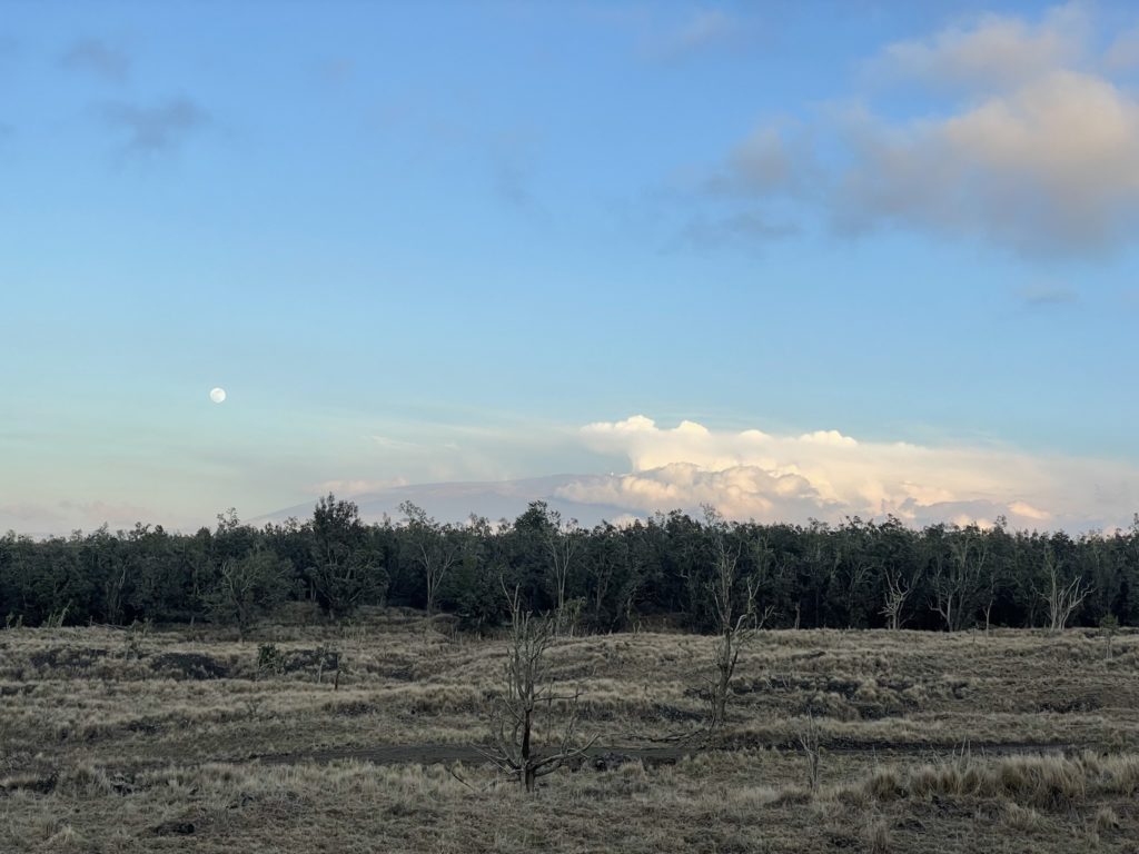
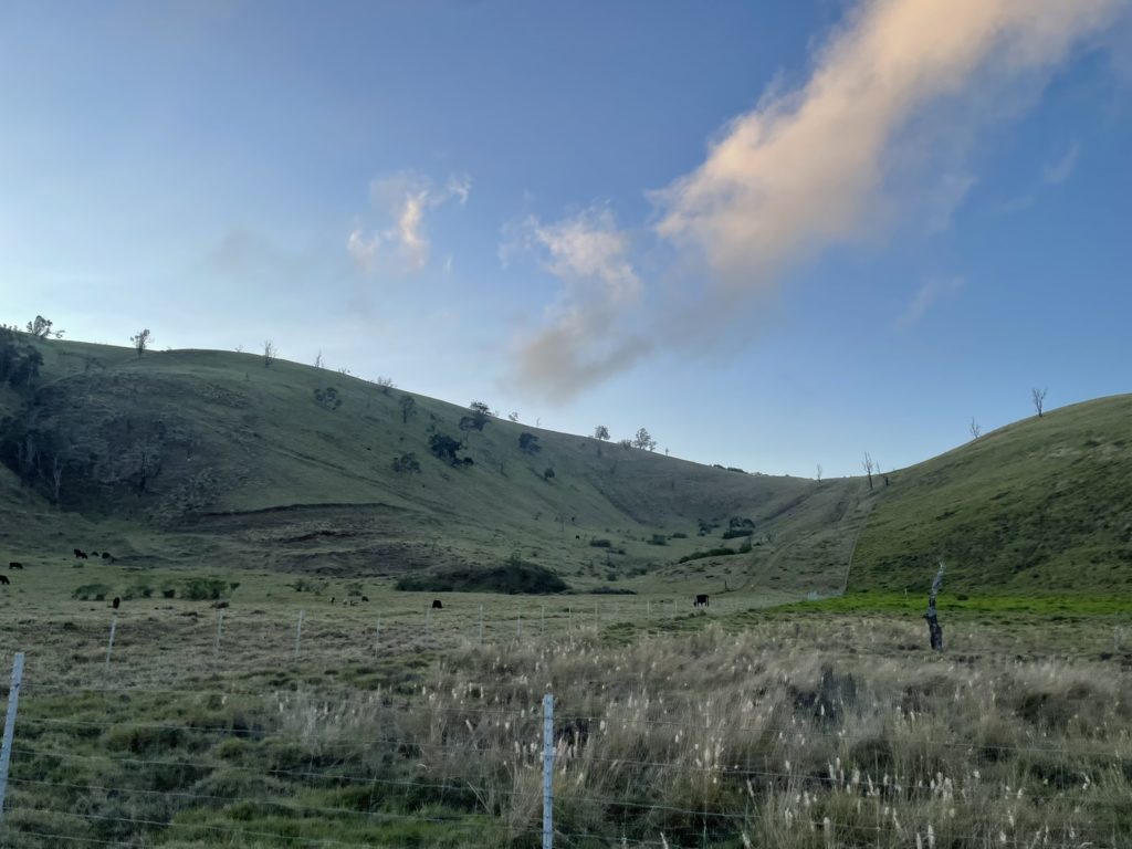
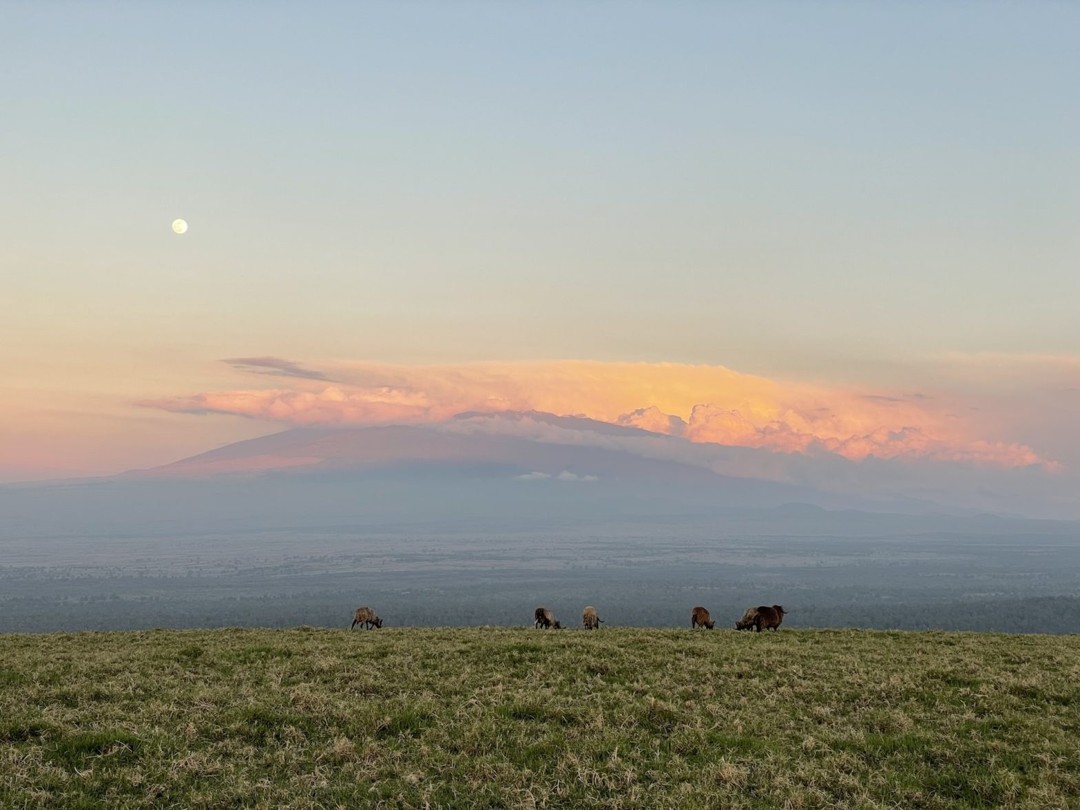
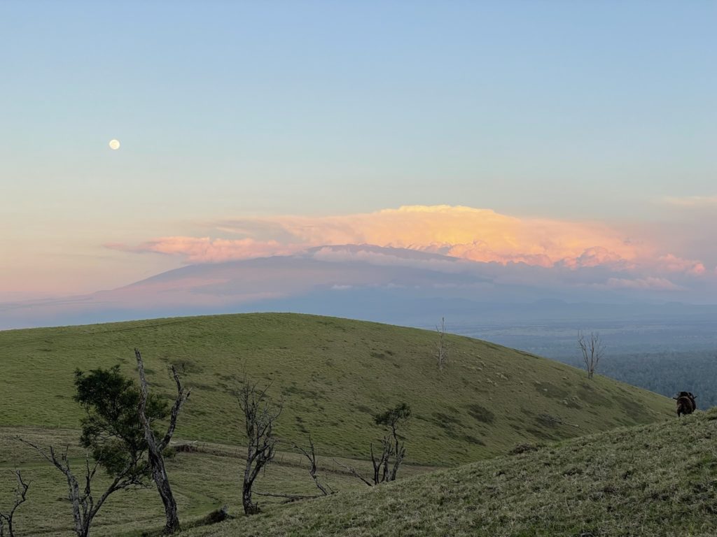
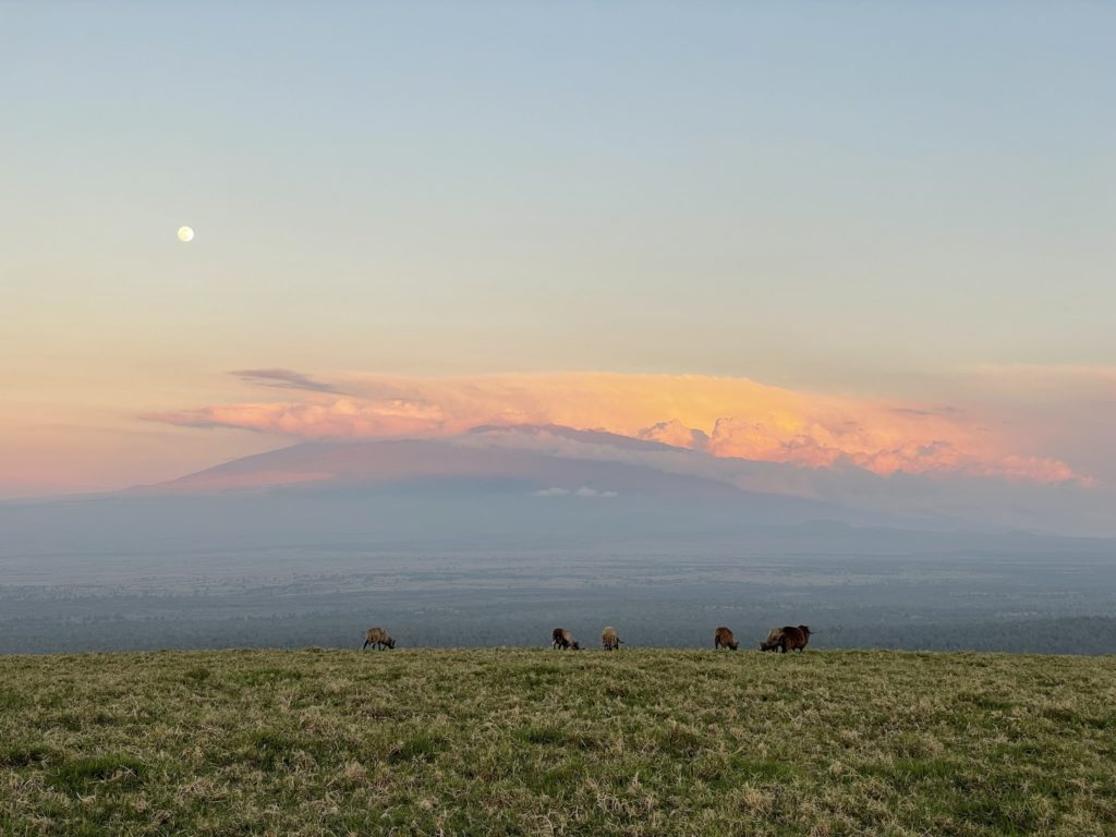
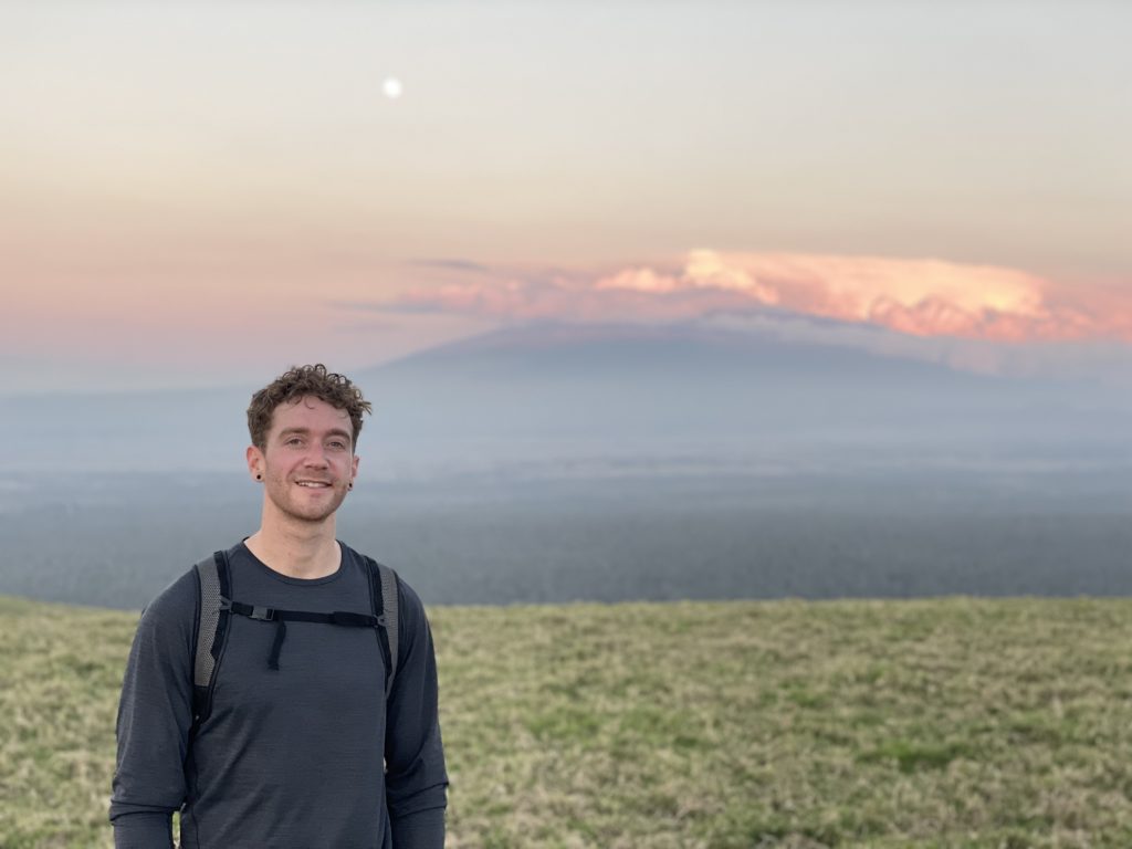
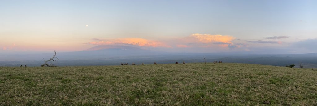
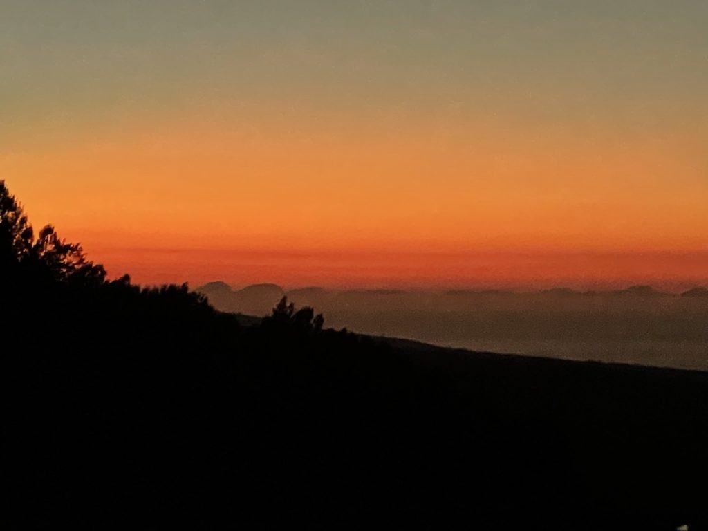
We crossed paths with two other hikers, but they stopped short of the summit and headed back. I briefly ran ahead of my mom below the summit to get to the top in time as the sun was just starting to set. About 10 minutes later my mom joined up and we had the honour of seeing the sun set across Mauna Kea with a full or near-full moon above. We spent a fair bit of time taking photos of the scenery and then the looming darkness finally encouraged us to head back.

It took perhaps 20-30 minutes to reach the service road and by this time it was close to fully dark out. Thankfully the moon lit up the road and we were able to run the remainder of the road portion down hill to the trail head finishing around 6:45pm. This summit ended up being a perfect fit for the distance/elevation gain and by pure luck we caught an amazing sunset and moon rise. All in all an awesome outing.
