Elevation Gain: 1,339m
Distance: 13.40km
Total Time: 7 hours 42 minutes
Date: September 15th, 2024
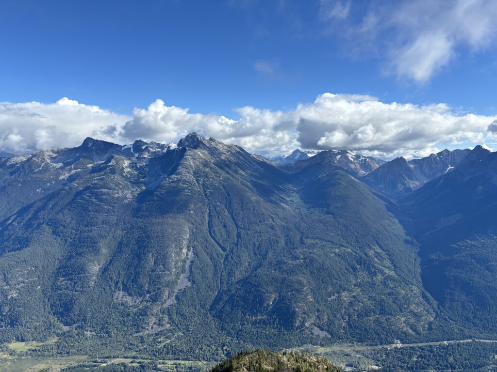
Birkenhead Peak is in the top 50 list of most prominent peaks in BC and a rather easy one at that. A steep service road runs all the way up to 1900m and places one within ~7km of the summit making it a pleasant day outing. The terrain is a mix of 2nd class and some shorter sections of 3rd class with a very straightforward ridge ramble to the top. It’s also featured in the Matt Gunn’s SWBC scrambles and is a rather popular peak as a result.
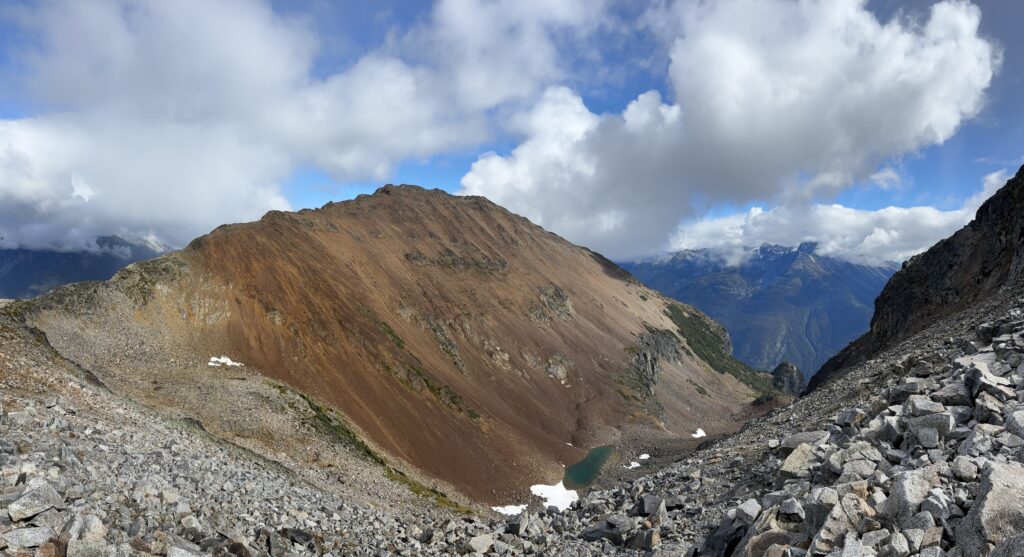
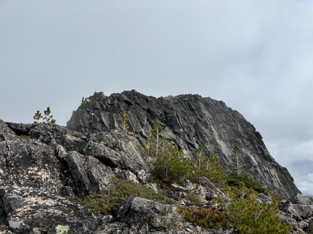
Alex, Mike, Trevor, Andrea and myself had just finished scrambling up Kafir Peak and were now descending towards Birkenhorn. We decided to make a quick detour up this unofficially named feature before going back to the col.
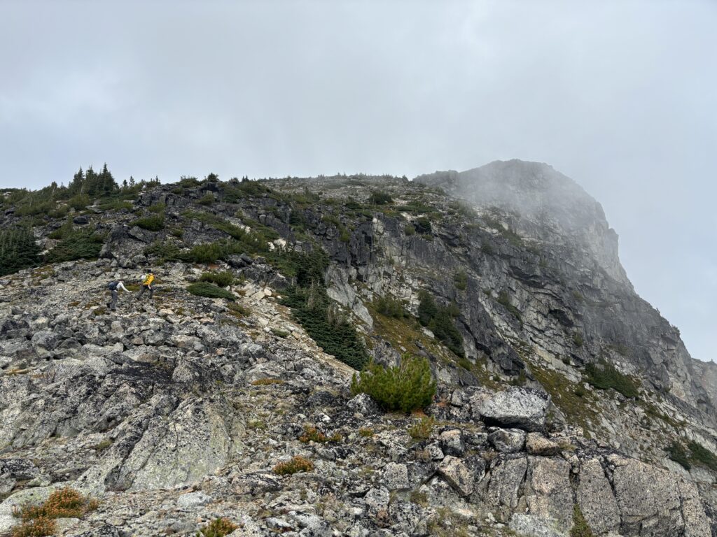
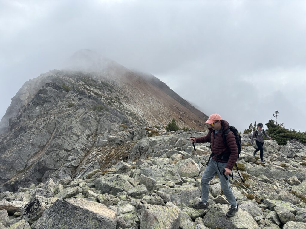
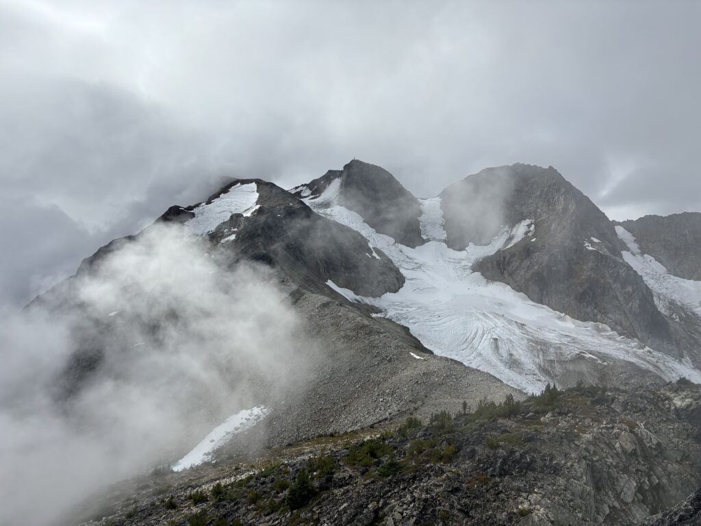
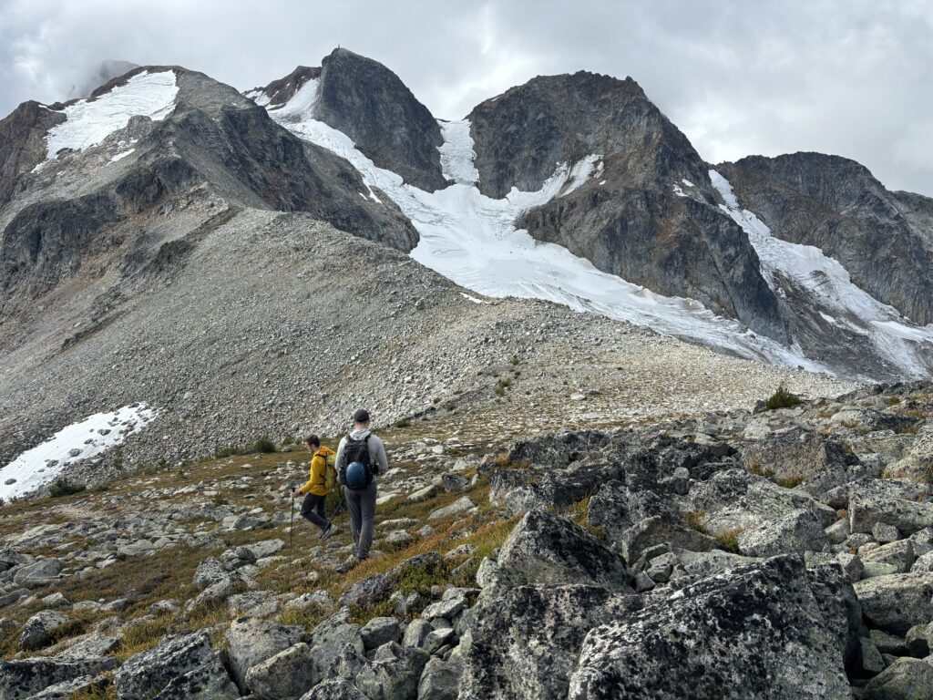
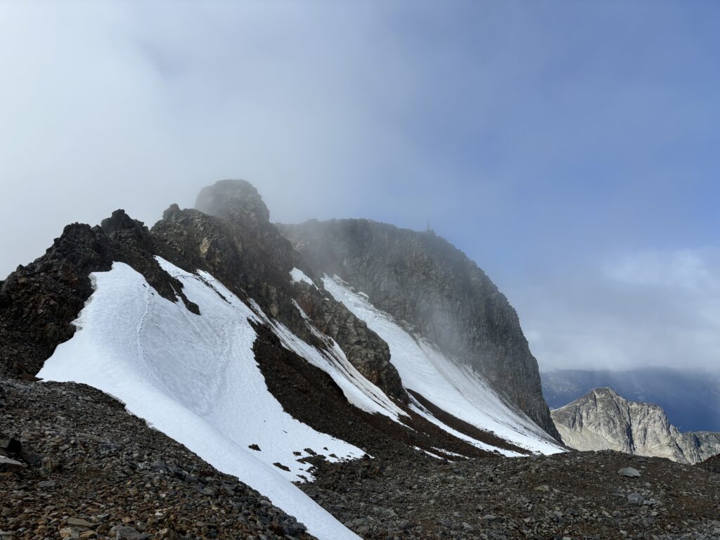
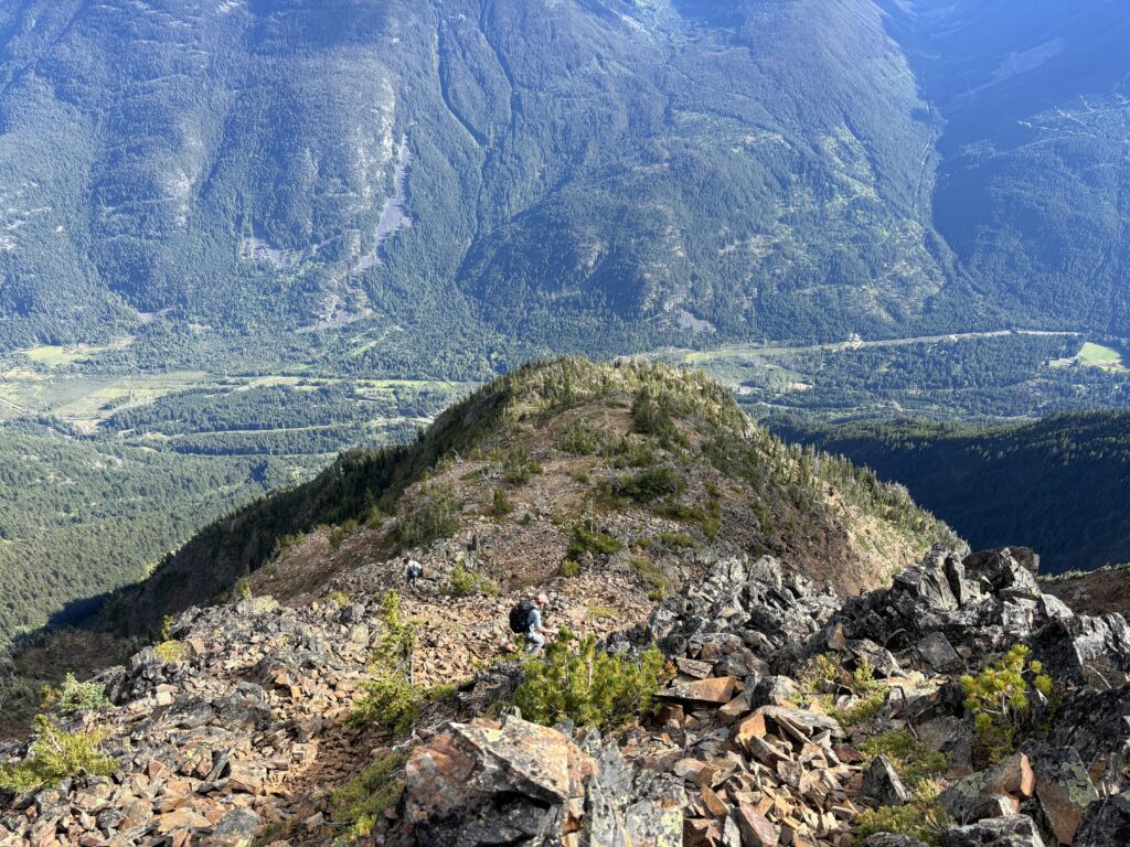
Once at the col we started the long, but pleasant ramble up the north ridge to gain the eastern shoulder of Birkenhead. The ridge was a mix of solid granite, loose boulders and a few sections of tricky and slippery lichen covered rock. At around 2400m the terrain eased again and we wrapped around to the south east section of ridge.
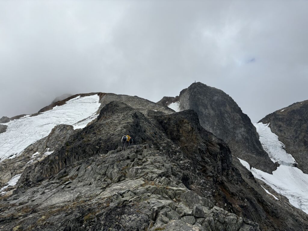
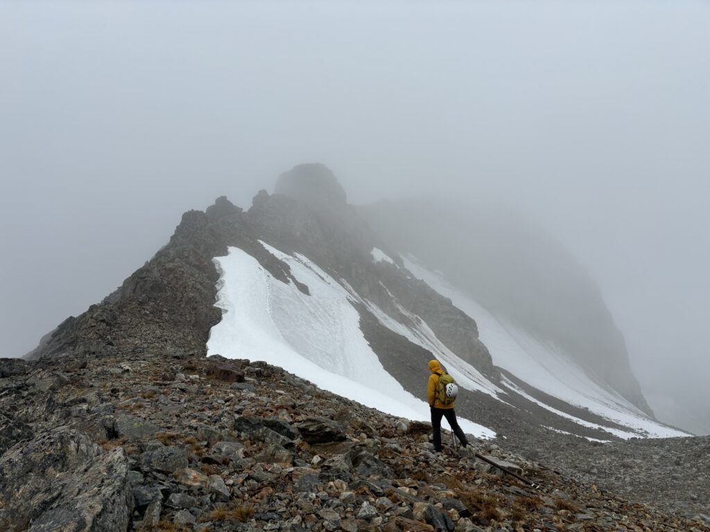
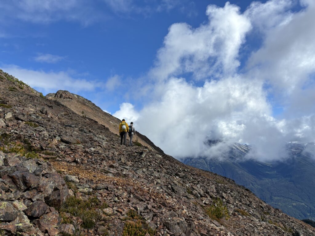
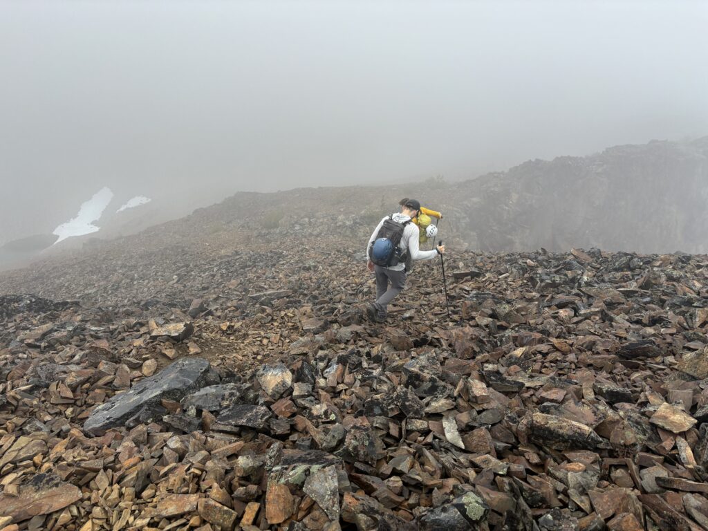
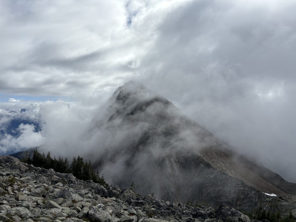
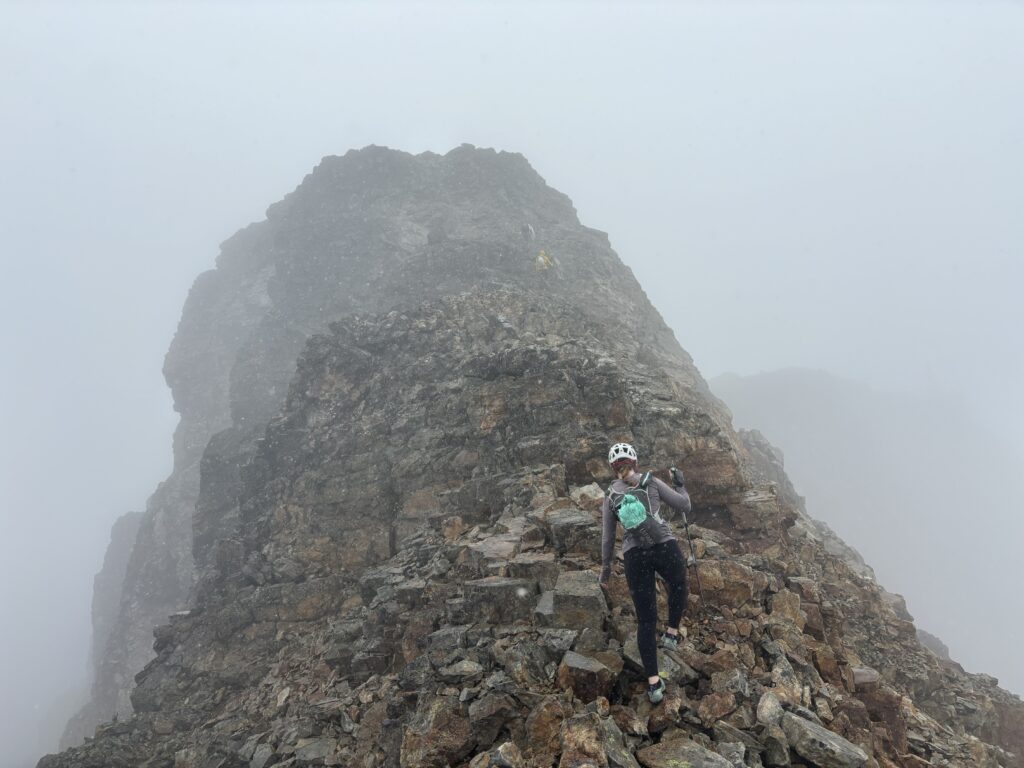
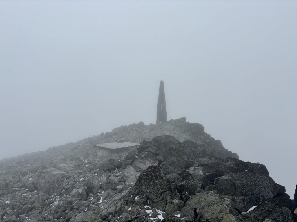
Alex and Trevor lead the way scrambling up through some fun sections of 3rd class before topping out on the summit. By now the clouds had totally closed in on us and it even began to snow. Nonetheless, we were optimistic the forecast was right and a break in the clouds would soon appear. We hung out for half an hour with no reprieve ever appearing. We finally caved and headed off the summit as the snow continued to come down.
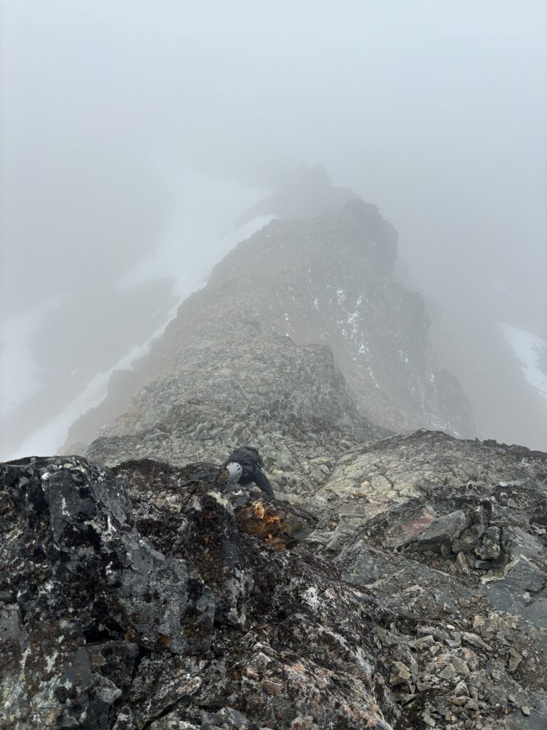
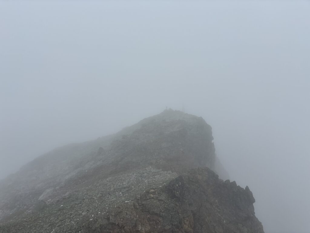
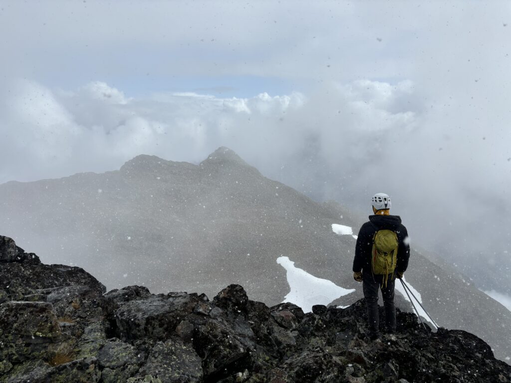
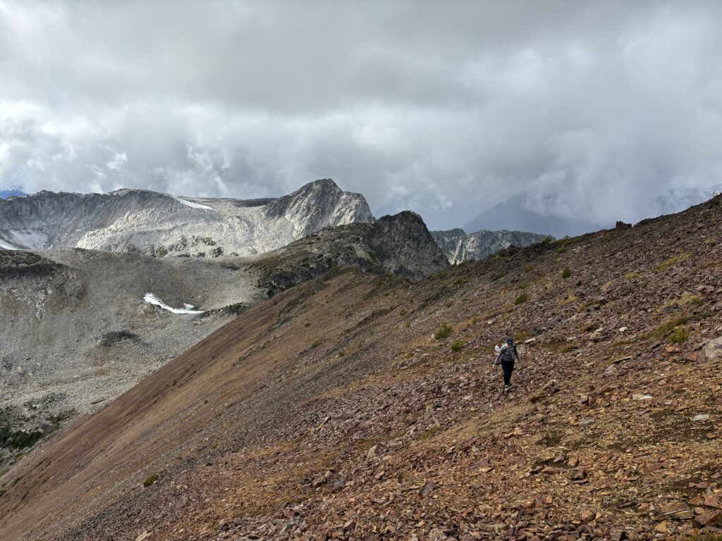
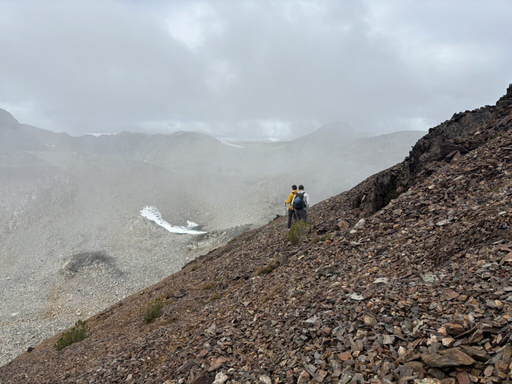
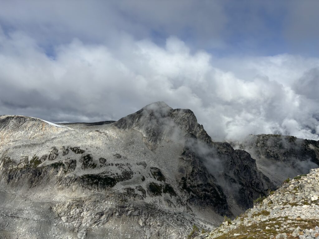
Just as we descended onto the northern section of ridge the clouds opened again, naturally. It didn’t take more than a few minutes for the sun to disappear again though, so we made the right call after all. Alex and Trevor made a fast charge to the end of the ridge while the rest of us picked our way through the ridge line before rejoining with them. From here it was an easy return up Kafir Peak and then back down the well marked trail to the cars.