Elevation Gain: 671m
Distance: 11.76km
Total Time: 6 hours 44 minutes
Date: September 8th, 2024
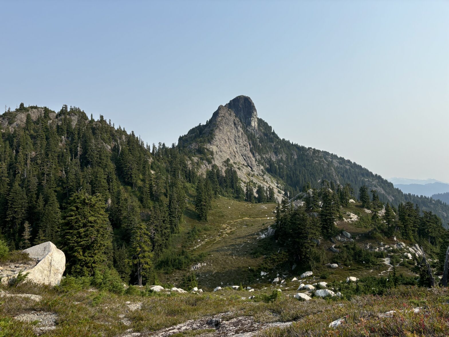
Mount Sheer is a striking summit located above the headwaters of Britannia Creek near the old mining town named in its likeness. The town was once home to the huge workforce that serviced the Britannia mine site. At one point this mine was producing 17% of the worlds copper and for a long part of its history was a remote and isolated part of the Sea2Sky. Those days are long past and the townsite is no more, but the area is rich in history for both its mining and mountaineering past. The first ascent of Sheer was 115 years ago (as of writing) in 1909! In the modern era it sees a steady stream of visitors thanks to the Mountain Lake Hut and much simpler access than the early days.
Andrea, her family and I were on our second day in the area after having spent the night at the hut and hiking up Ben More, Ben Lomond and Red Mountain the day before. Most of Andrea’s family planned to hike with us part of the way and then head to the lake, but Andrea’s sister Heidi decided to join us for the whole way.
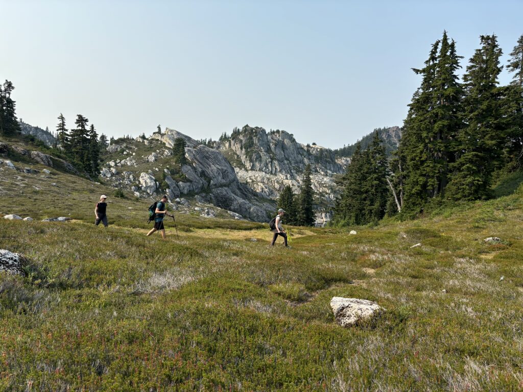
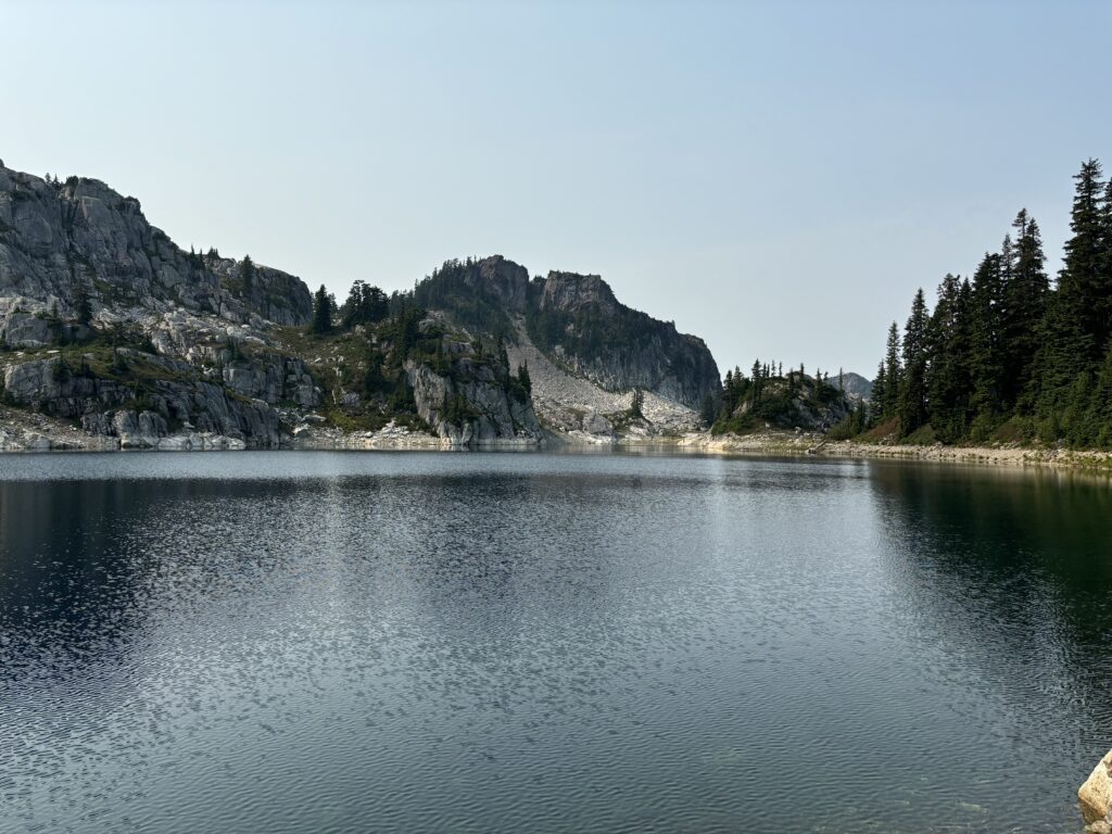
From the hut, it’s a mere 2km to the summit and so we had a leisurely start in the morning. Once we gathered everyone up, we headed down the trail around the south side of Mountain Lake and then wrapped around the eastern end. We dropped into a heather meadow and then up a short but steep slope through the forest. Above the forest we now had open ridge line and parted ways with the rest of the group. Heidi, myself and Andrea followed a faint trail up to the first rocky section of the south west ridge. However instead, of taking the ridge directly, we scrambled around the base at climber’s left and rejoined where the ridge dipped down in to a notch between the next section of ridge.


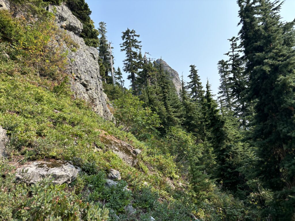


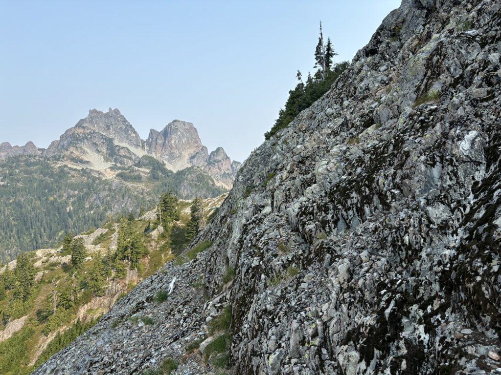

We had one section of 3rd class to regain the ridge and then stayed on the ridge crest until we hit the steeper summit block on the west side. There were a number of options through the block, but we found a reasonable class 3 route following some cairns and flagging. The crux was a short vertical section of rock that we had to traverse climber’s right on with good holds and feet. After that, one more section of easy class 3 at climber’s left through some broken blocks took us to the summit.

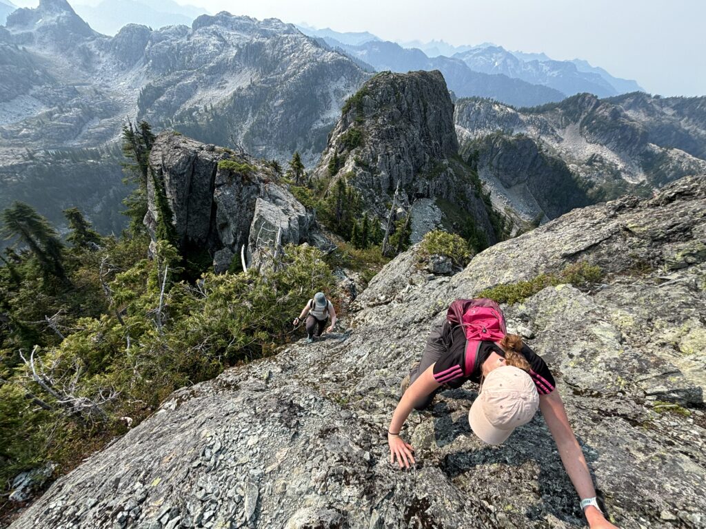
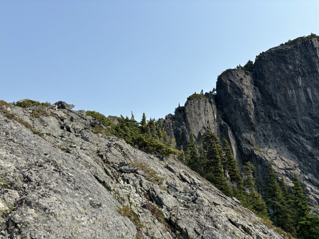
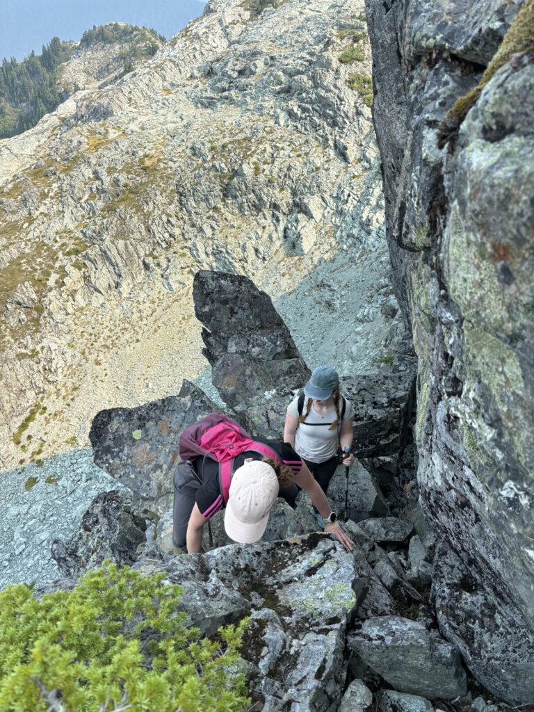
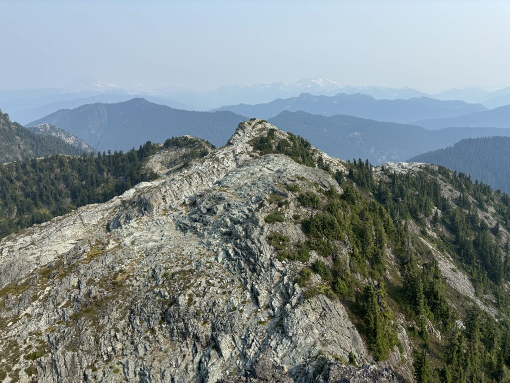
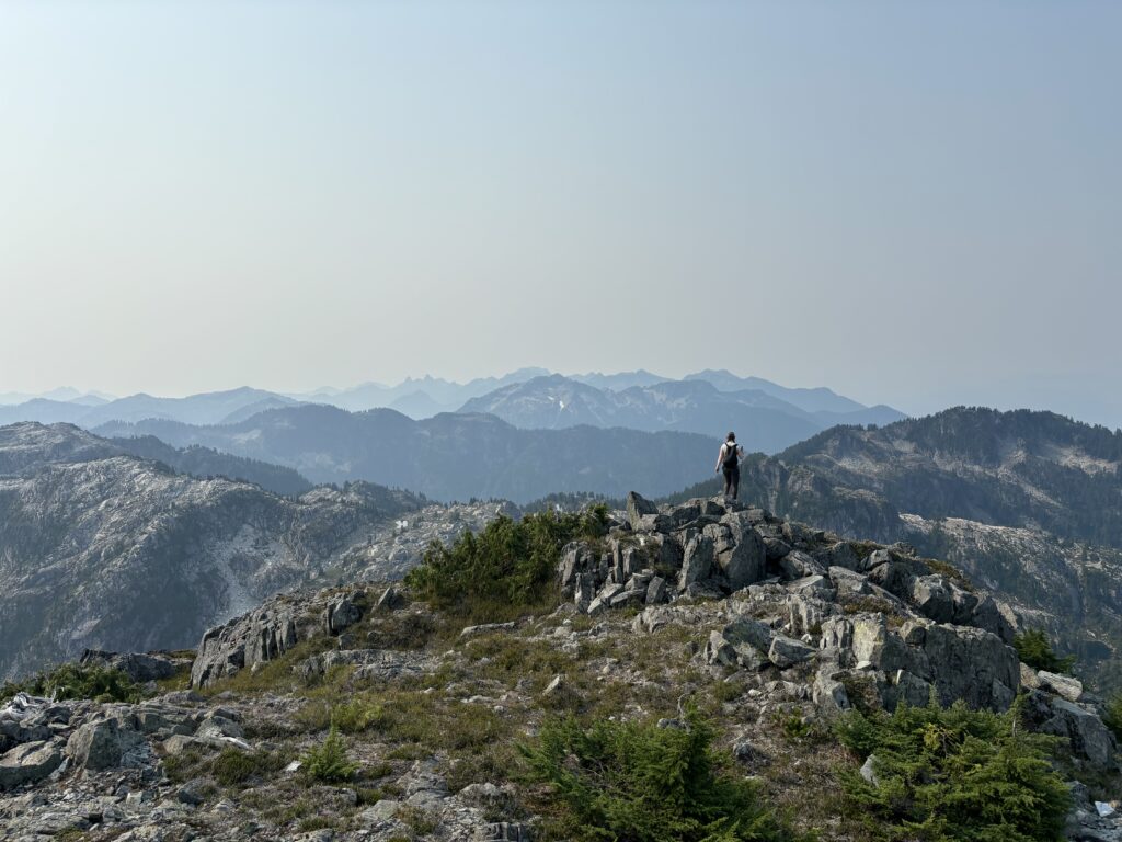
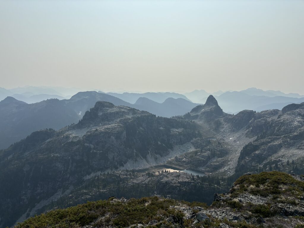
The views were fantastic and this whole area delivered on its promise of beautiful alpine terrain. There are some obscure climbing routes on Sheer so I took some time scoping out potential ideas and then we all got going. We reversed our route exactly as we climbed it and down climbing the crux section proved to be easier than ascending. Following the ridge crest one could face out as the terrain is not too steep or exposed.
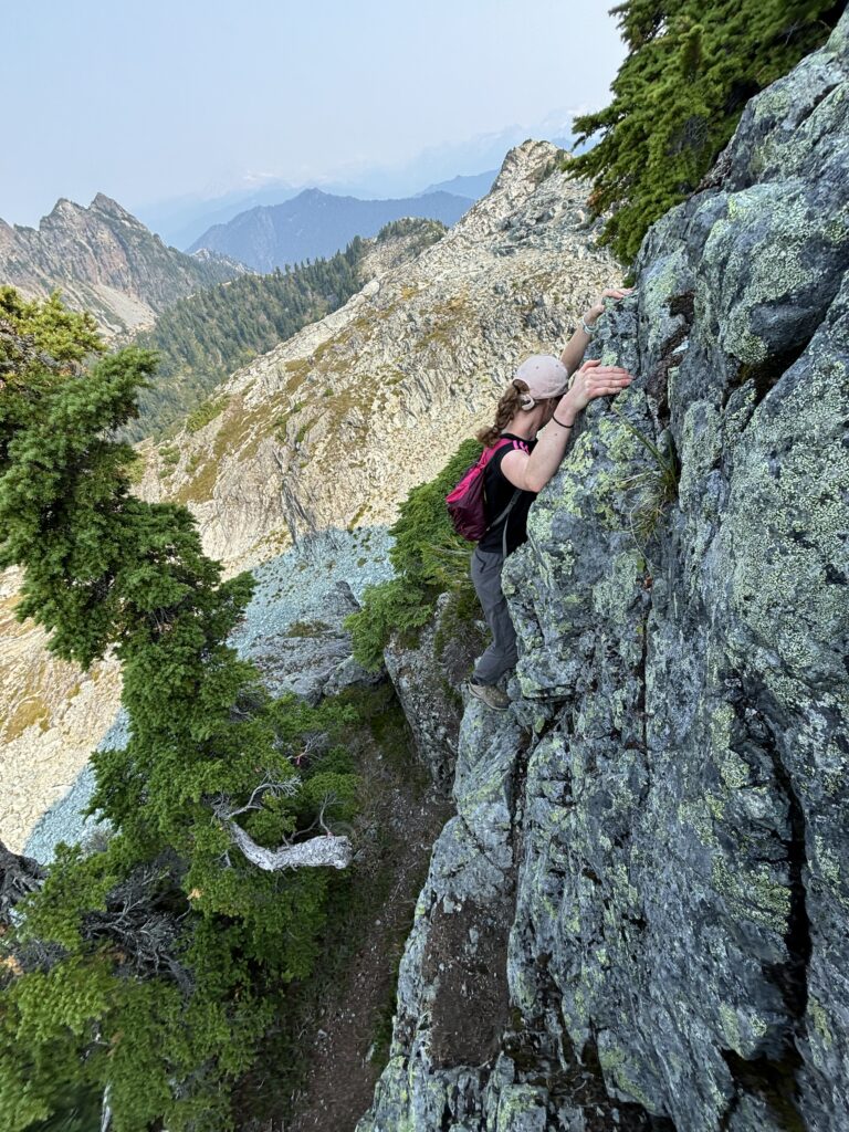
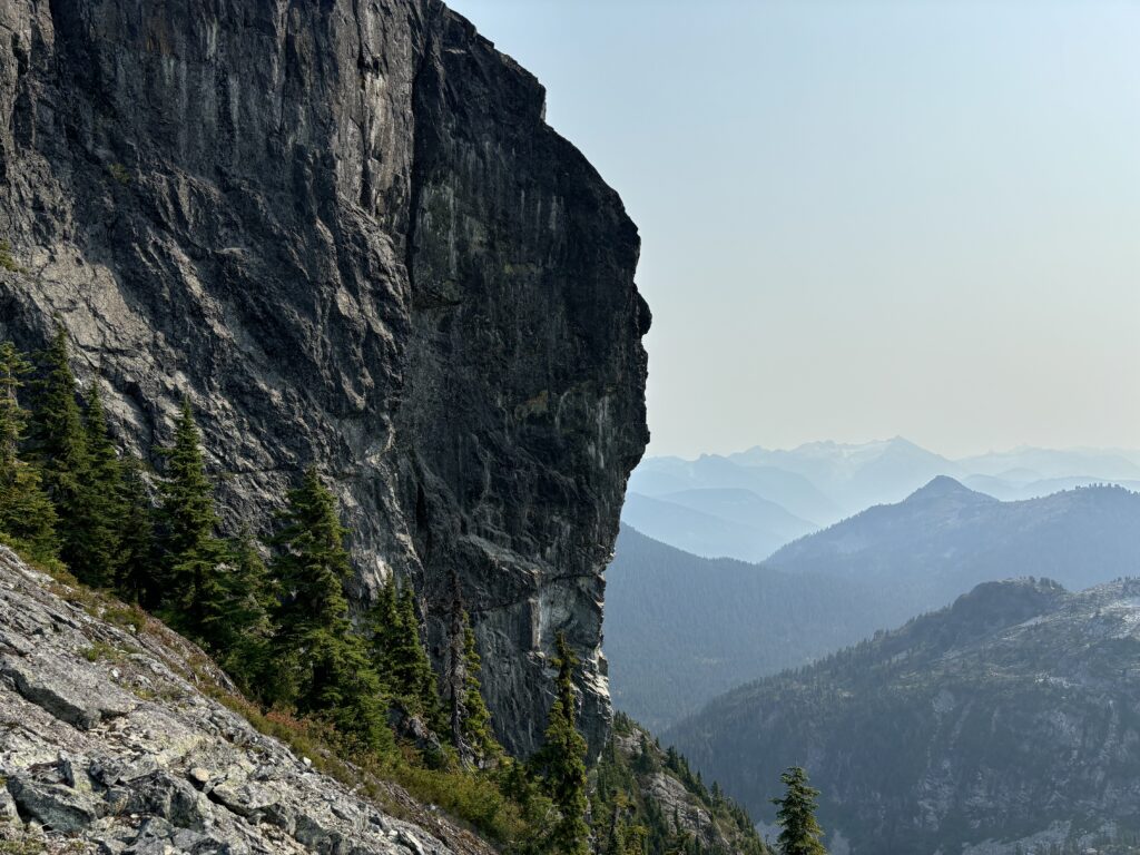
Once we dipped below the ridge crest we spent some time finding a slightly easier route down for Heidi and then reached the forested section below the ridge shortly after. We spent a bit of time at the lake afterwards and then packed our gear and headed out.
This area is definitely worth checking out and if you can’t be bothered with the gate logistics, many come in from the Sky Pilot side. I’m glad to have finally seen this small but beautiful corner of the Sea 2 Sky.
