
Elevation Gain: 1,817m
Distance: 18.51km
Total Time: 10 hours 56 minutes
Date: September 7th, 2024
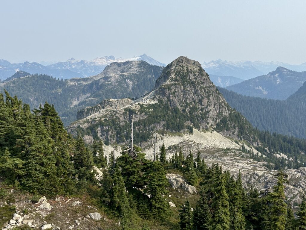
It’s turning into somewhat of a tradition for Andrea’s family to get together with Andrea and I and spend a weekend in the mountains somewhere. The criteria is usually somewhere with a lake, few people and a strenuous but not too strenuous hike. There are lots of lakes around BC, but few that aren’t popular without a big hike. Last year we did the Gott Peak area and that worked out quite nicely. This year, Andrea did a great deal of research and found the Mountain Lake Hut area would fit the bill perfectly. This is an area rich in climbing history and a long running presence from the BCMC. There’s 3 main summits: Ben Lomond, Red Mountain and Mount Sheer which were all first climbed in the very early 1900’s. Down the valley resides the old Britannia mine, which was apparently producing up to 17% of the world’s copper at its peak production. The BCMC has operated a hut near one of the upper lakes by Mount Sheer for some time and this is where we’d hike to and stay for the weekend.
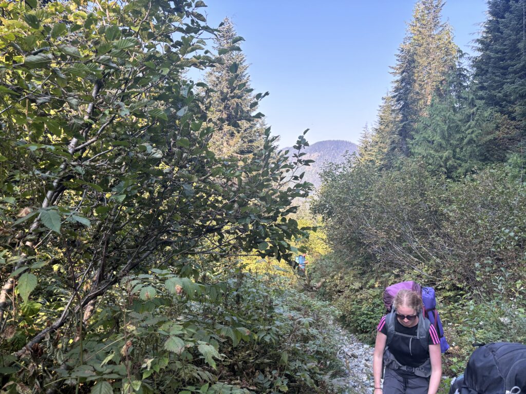
Access into the area is a little tricky. Thanks to the toxic copper mine, access roads are all gated to protect water sheds, sensitive mine monitoring equipment and likely to keep the public out of old mining tunnels. The BCMC has a gate key, but it requires a few hoops to get. For these reasons, I was really only saving this area for a trip like ours where all of the logistics could be dealt with in one shot. Thanks to Andrea’s thorough research we had everything we need, but like last year we found out at the last minute that the Gran Fondo would be blocking off highway access. We planned to wake up well before the event and drive up there, but on the day of our alarm didn’t go off and we woke up in a mad scramble. I drove as quickly as I legally could across the iron workers and up highway 99 and we just passed the bikers as they were merging on from Taylor way. Down to the minute! Even still, we couldn’t reach the Furry Creek gate where Andrea’s family was already waiting for us and were forced to park on the other side of the high way and walk up to them.
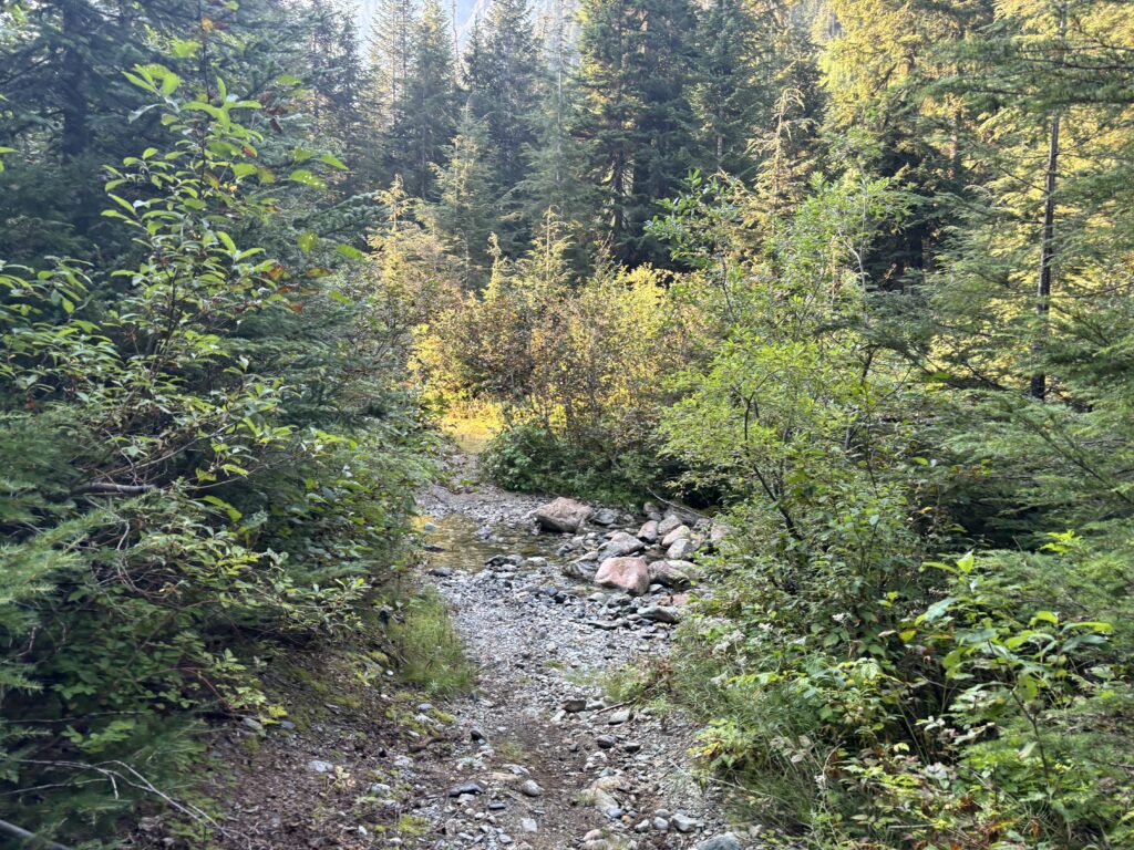
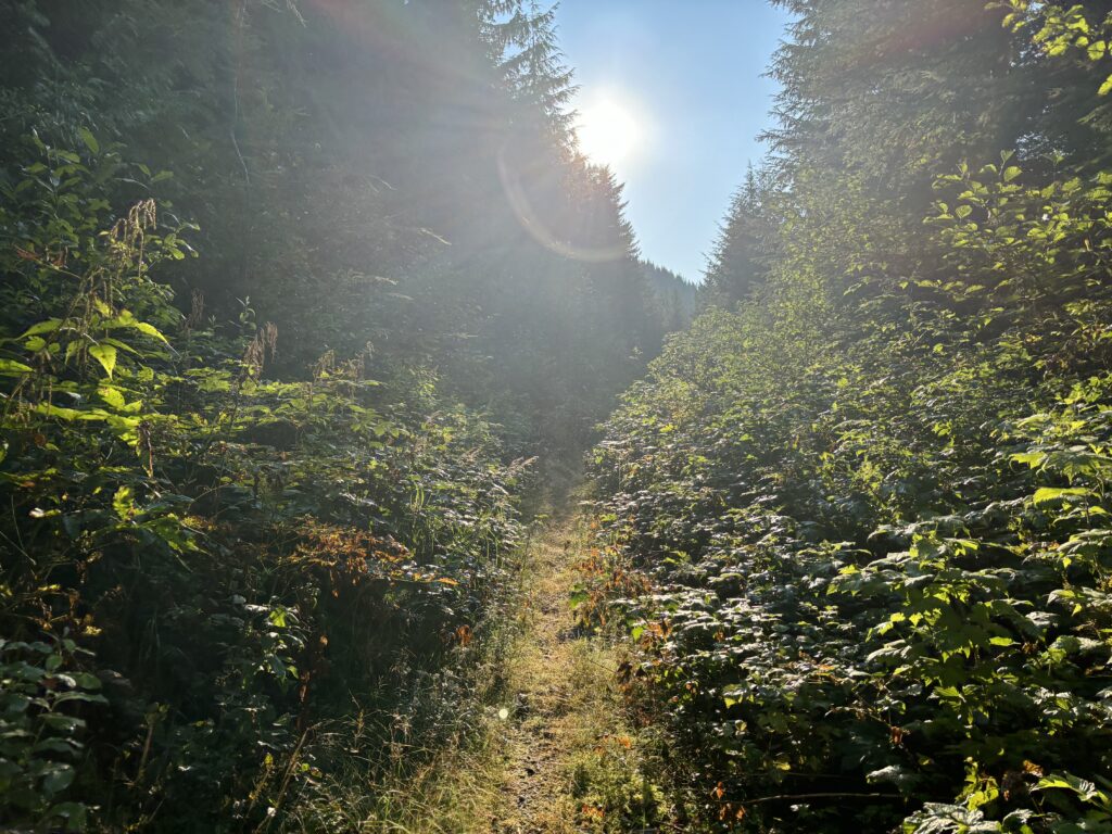
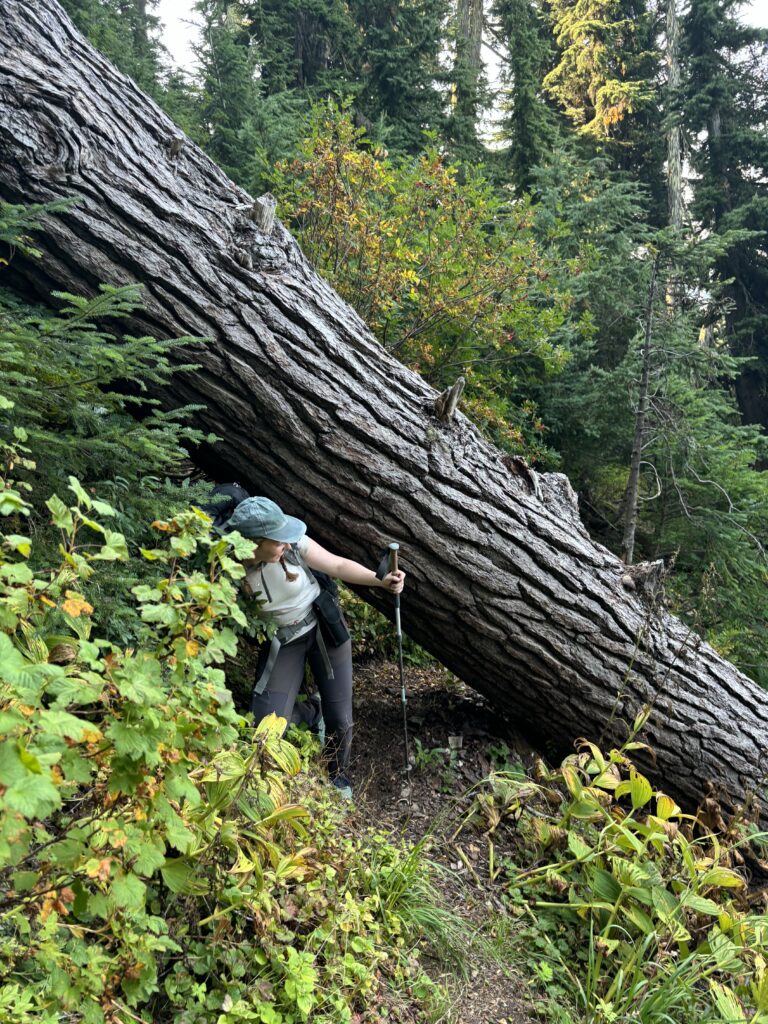
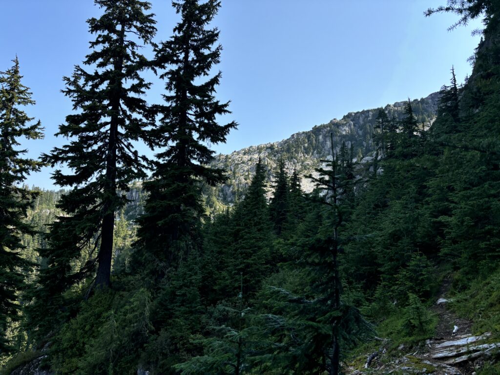
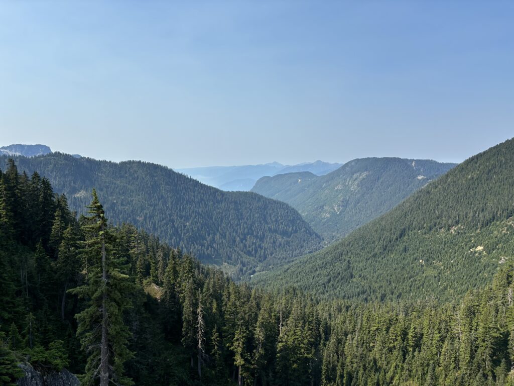
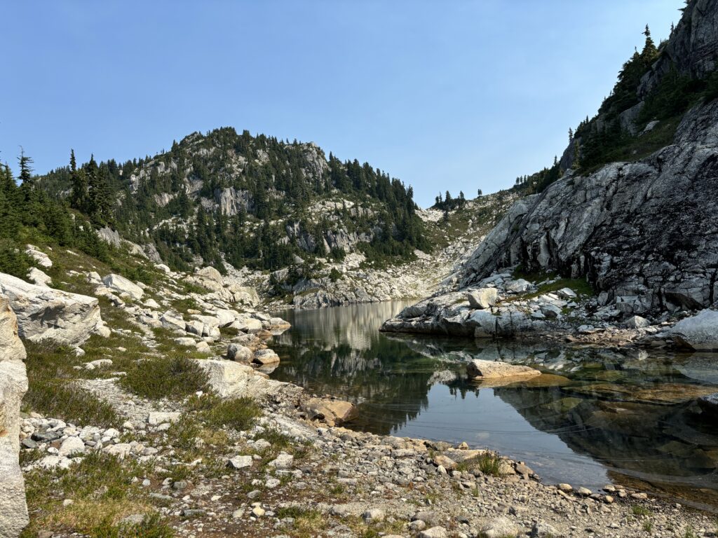
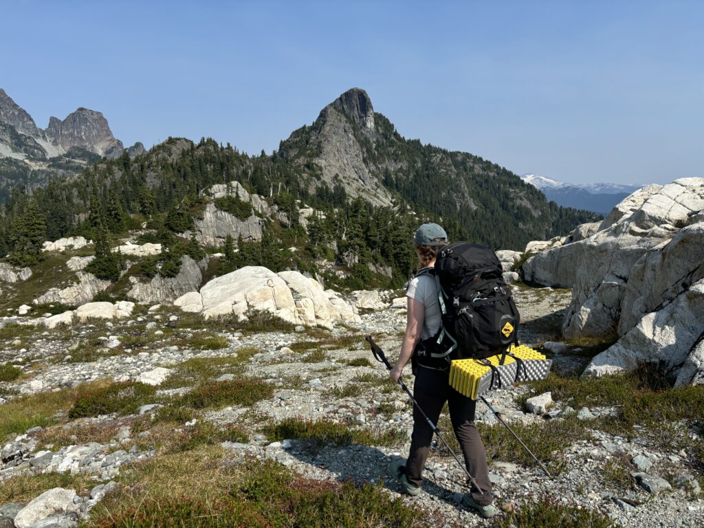
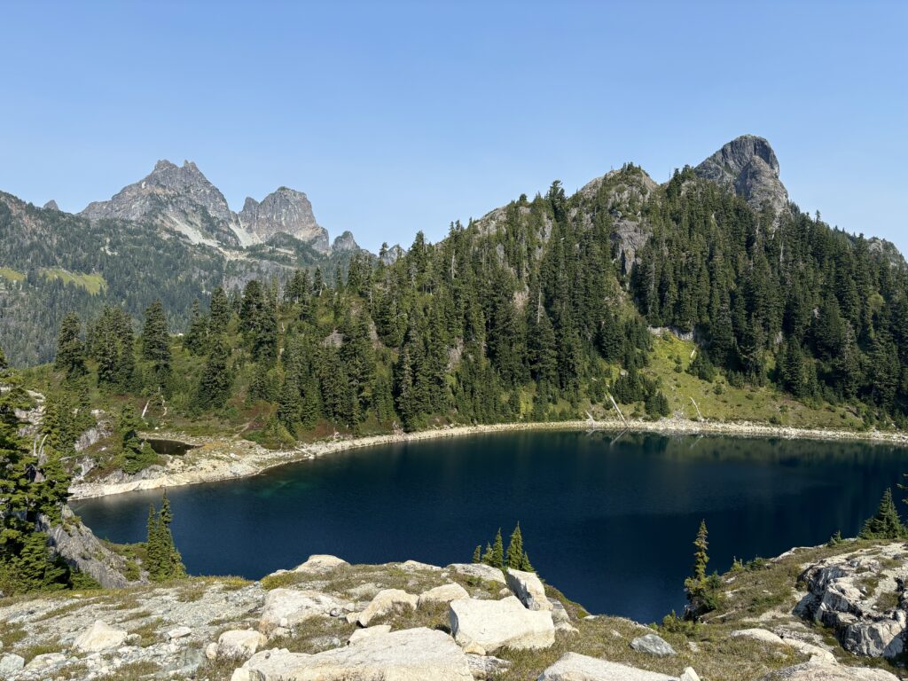
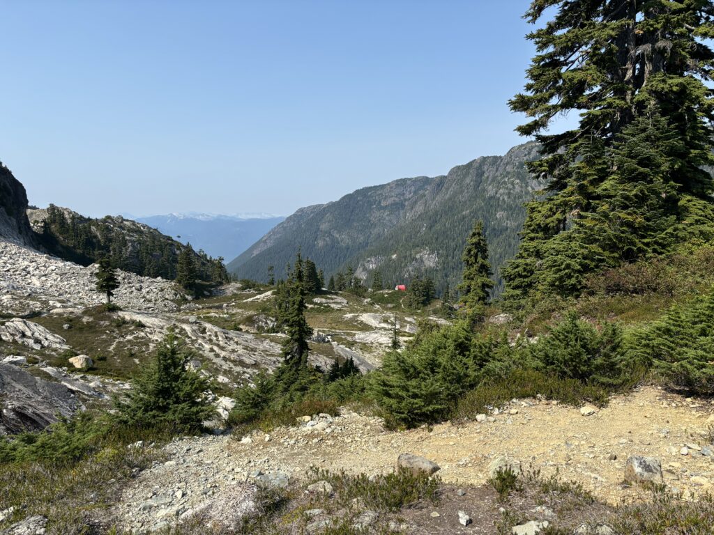
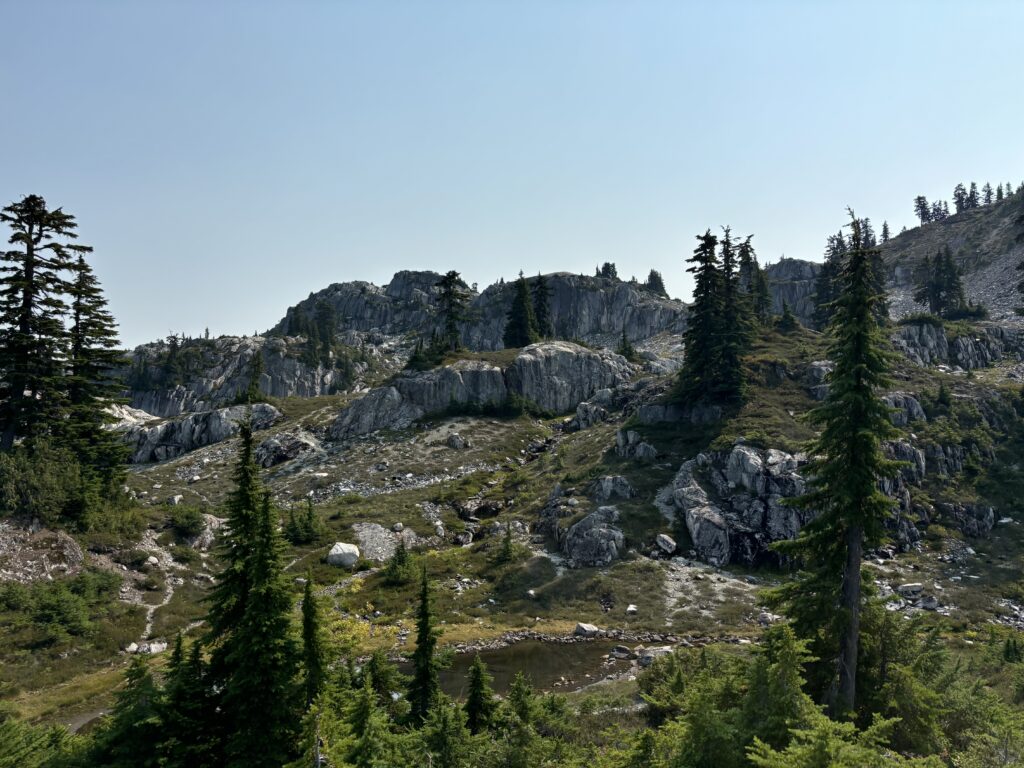
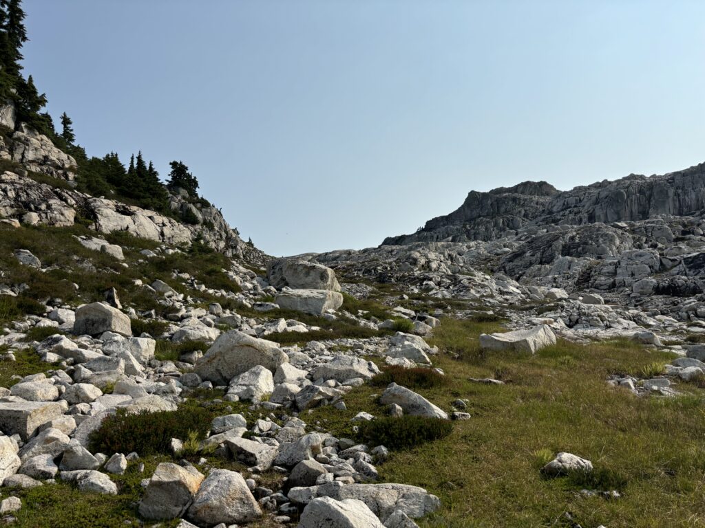
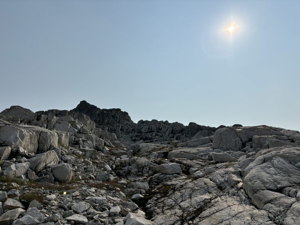
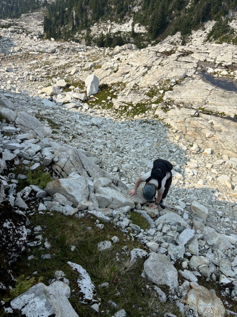
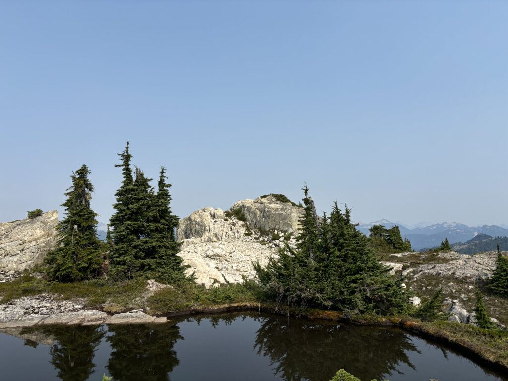
Thankfully, the other vehicle at our disposal was capable of driving FSR’s otherwise we’d be totally screwed. With that little hiccup out of the way, we drove to the very end of Furry Creek FSR without issue. We then followed the well marked trail, on foot, up an old logging spur. This took us to 1300m where an obvious trail guided us along an unlogged section of forest. From there we reached the alpine and the outflow of Wind Lake. The alpine was stunning here and the terrain much more undulating and bluffy than I had envisioned. We continued following cairns and meandered through the granite slabs and tarns to reach the Mountain Lake hut, just a few kilometers away. There’s really not much to say about the approach as it’s so well marked.
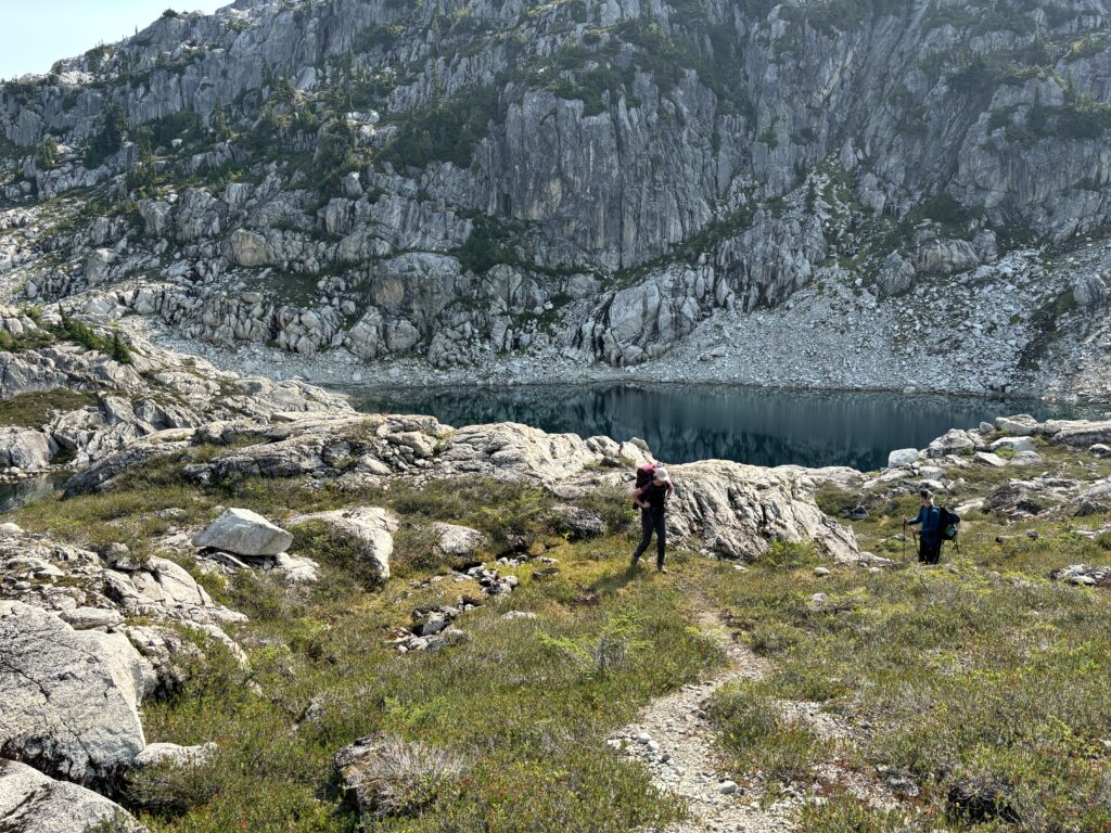
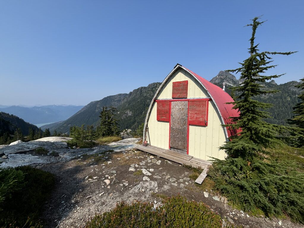
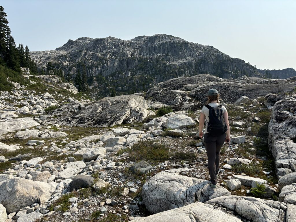
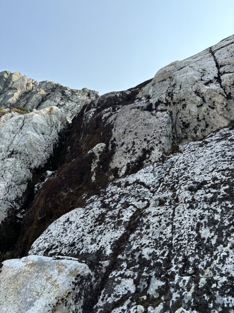
We all ditched our gear at the hut and then Andrea and I set off for “Ben More” while her family stayed behind to hang out at the lake. Ben More is not one of the 3 officially named summits in the area. However, it is a prominent peak and a worthwhile add on given you pass within touching distance of the summit on the way to Ben Lomond. Andrea and I followed the official trail back towards Wind Lake and then cut off before the north side and traversed some cairn marked slopes above the lake. We then scrambled up the north side and reached the broad summit ridge.
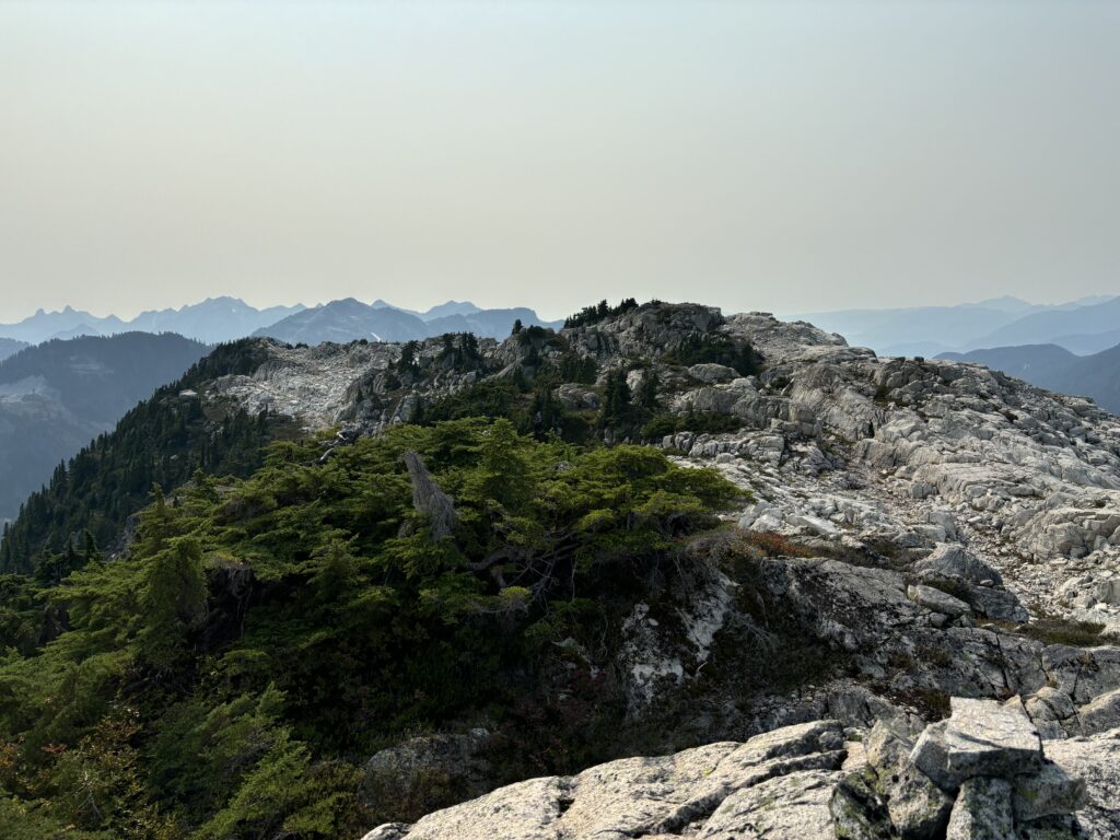
There were two candidates for the true summit so we walked south first to a high point and then back along the ridge closer to Ben Lomond for the second. I’m still not sure which is higher, but they’re both trivial to reach. After that we started our way towards Ben Lomond for the second summit of the day.