
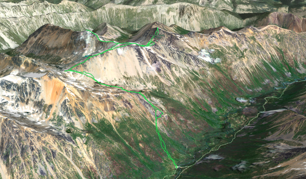
Elevation Gain: 2046m
Distance: 17.1km
Total Time: 1 day + night
Date: June 22nd/23rd 2024
Leckie Peak is the highest summit along the small Leckie Range just north west of Gold Bridge. There’s some confusion about the status of this peak as it was likely named from the valley rather than from the summit. As a result, the officially named Leckie Peak is in fact a small point along the ridge to the true summit. On bivouac these are distinguished as Leckie High and Leckie Low. Andrea and I had gained an interest in this range after a failed foray into the Slim Creek valley last year. Now we were looking for an area to do an overnight trip and Gold Bridge happened to have the only good 2 day forecast around. After doing some research I found a report from Fred Touche on bivouac that offered an easy route to a hanging valley south west of Leckie Peak. From there it looked like a short trip to a number of summits along the range. Andrea thought it looked reasonable as well and so we set out on Friday evening towards Gold Bridge.
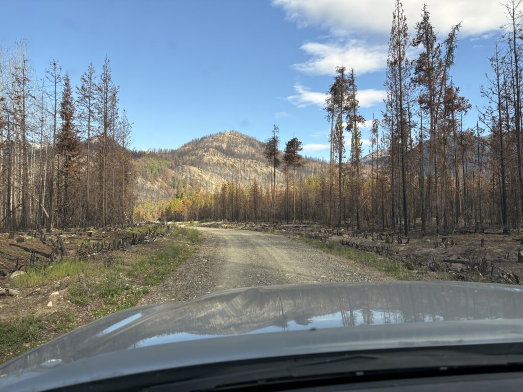
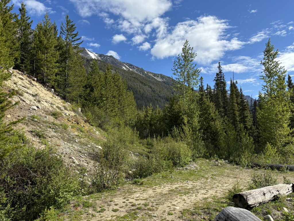
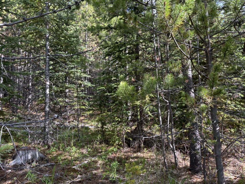
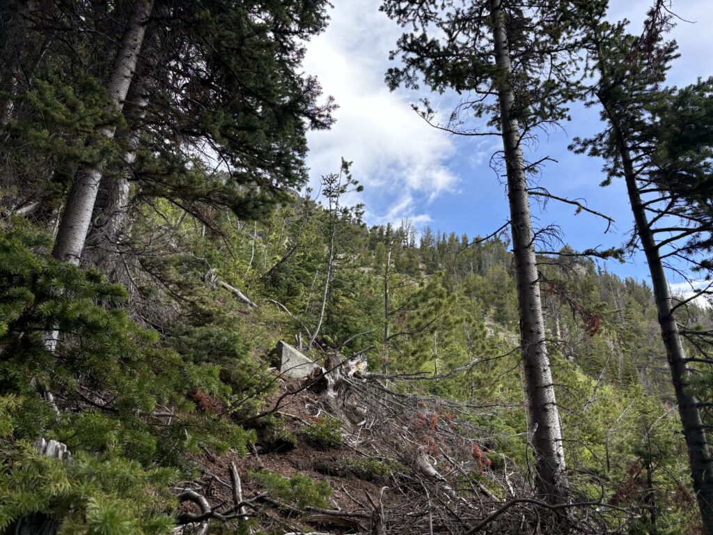
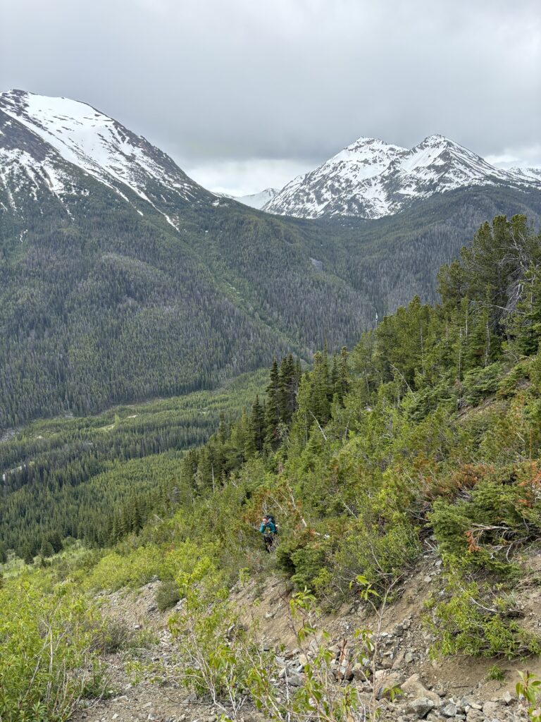
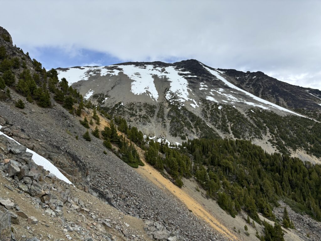
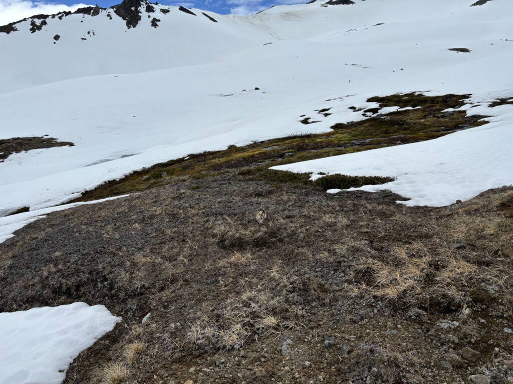
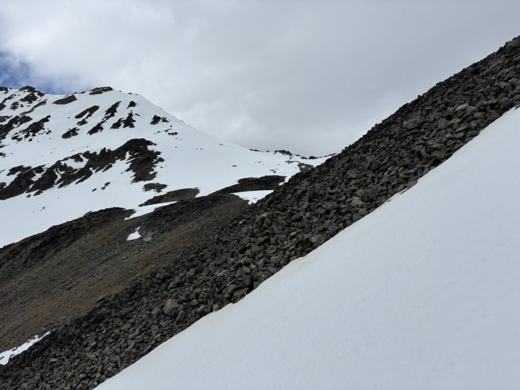
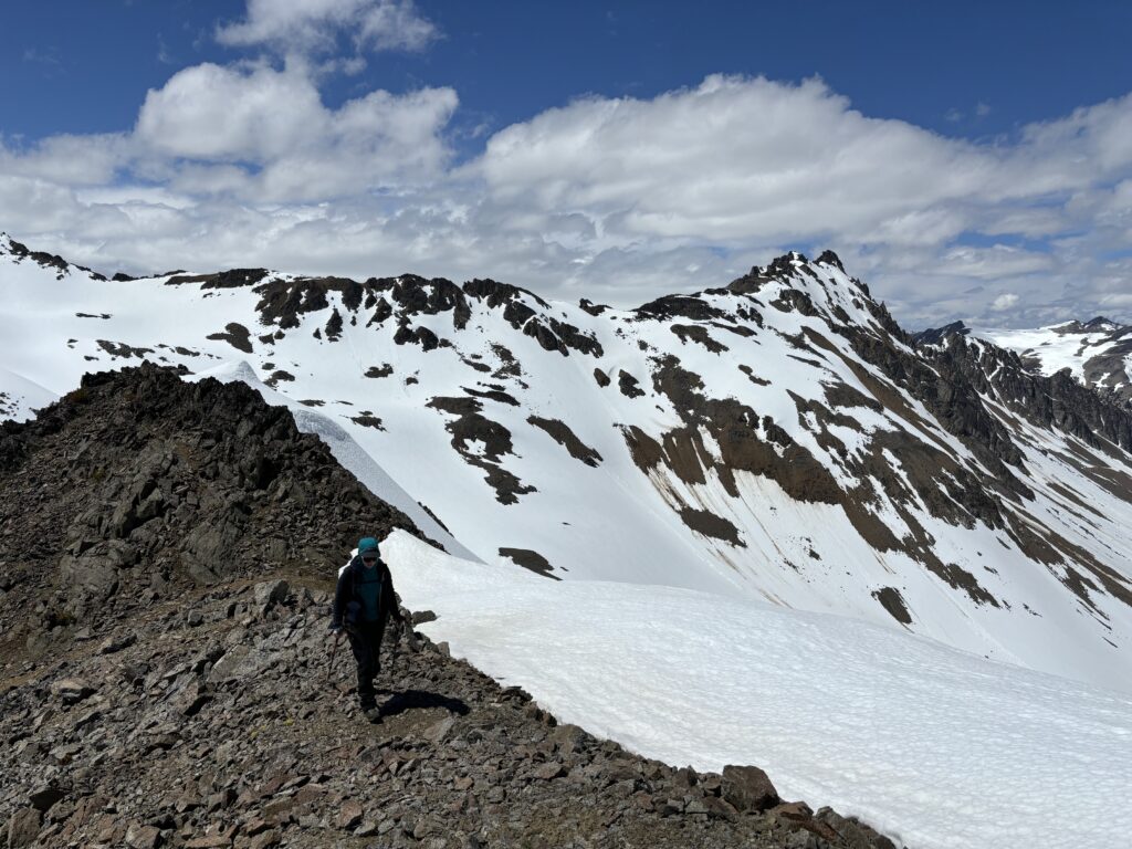
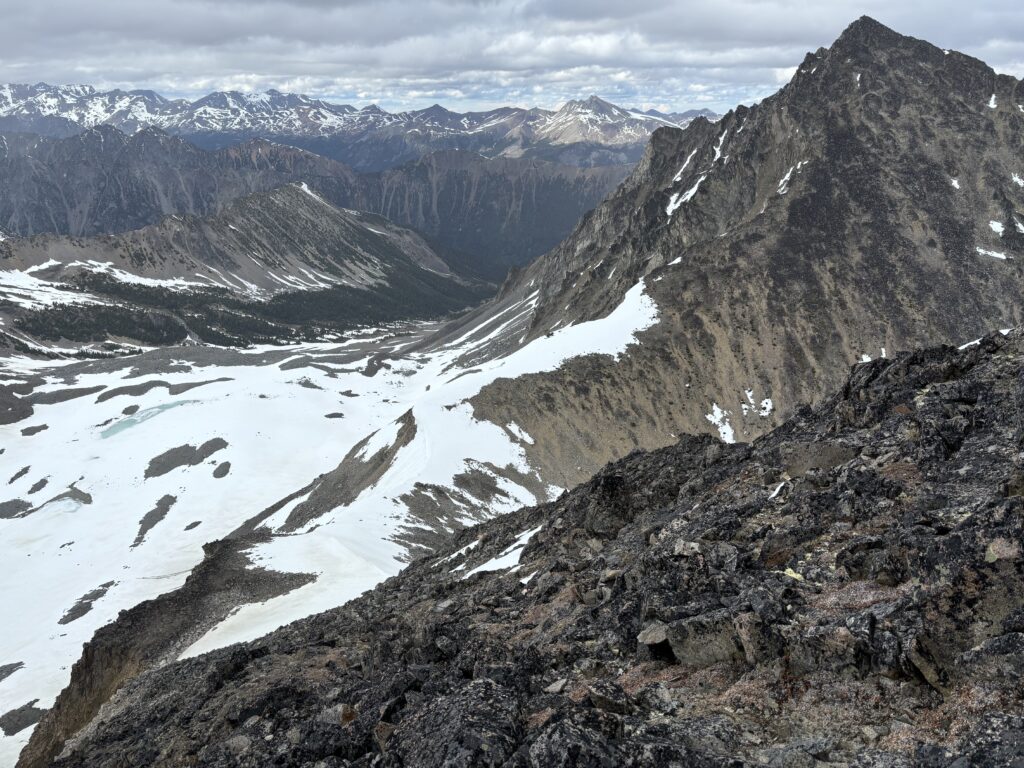
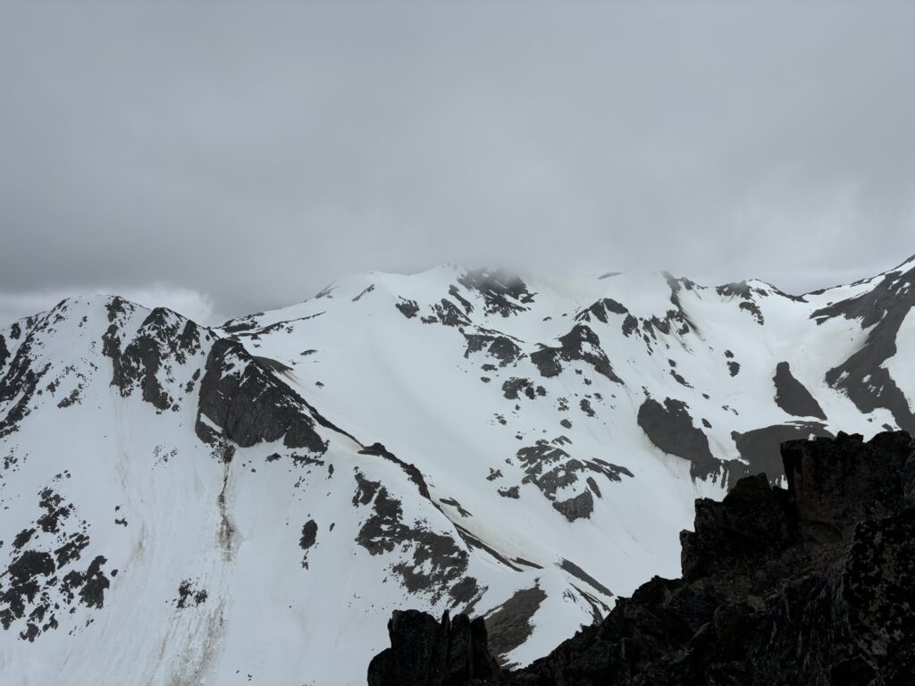
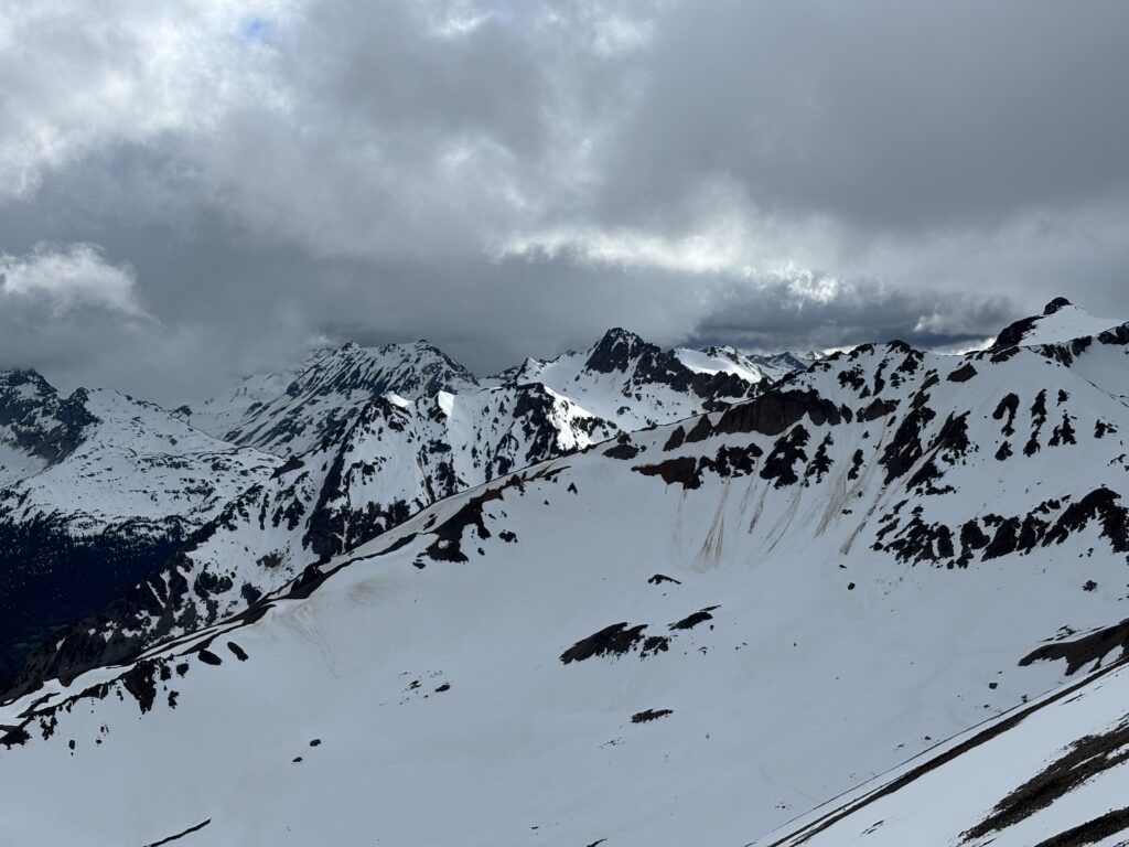
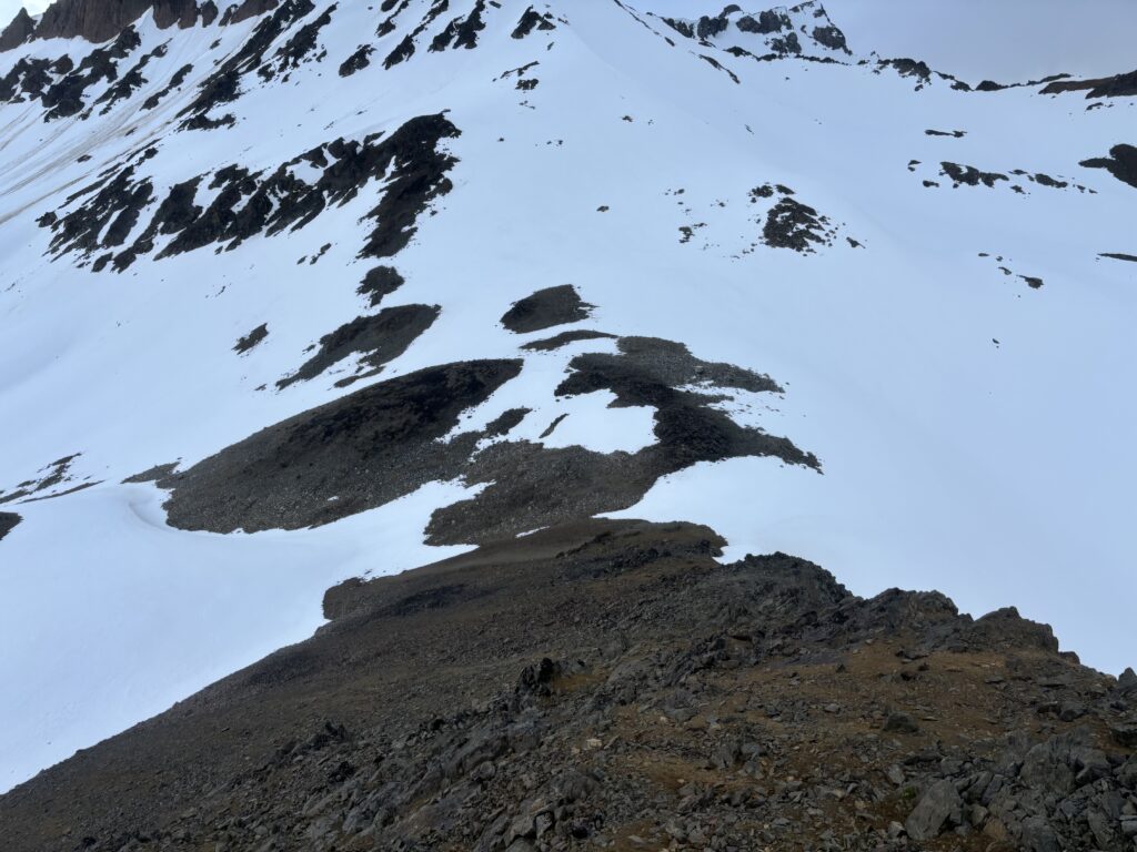
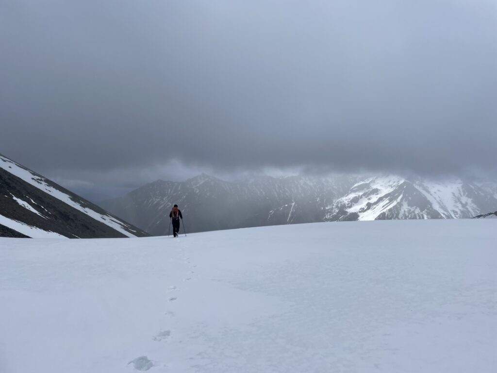
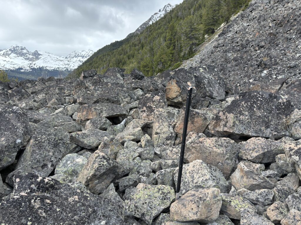
We spent the night at the Gun Creek campground and then drove down the Slim Creek FSR the following morning. The road was in great condition and we found a small parking spot just after the bridge. After gearing up we headed into a pleasantly open cut block and then up through un-logged forest on the south slopes of Leckie Peak. We roughly followed Fred’s route and eventually cut across a small avalanche chute at 1750m. From there it was open scree slopes and boulder fields until we wrapped around to the hanging valley at around 2000m. The valley had much less snow than we expected, but a fair bit of it was isothermic making for slow post holing as we hopped from island to island.
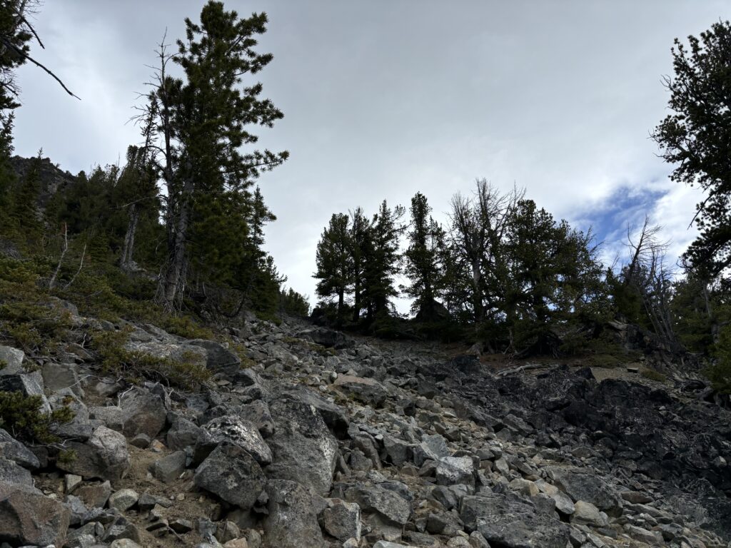

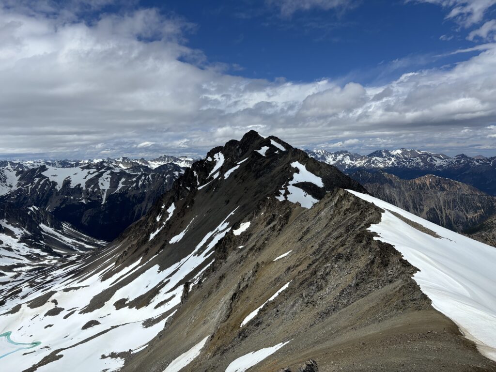
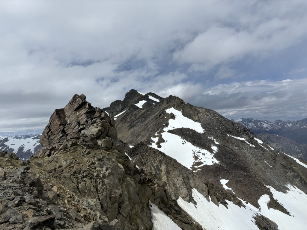
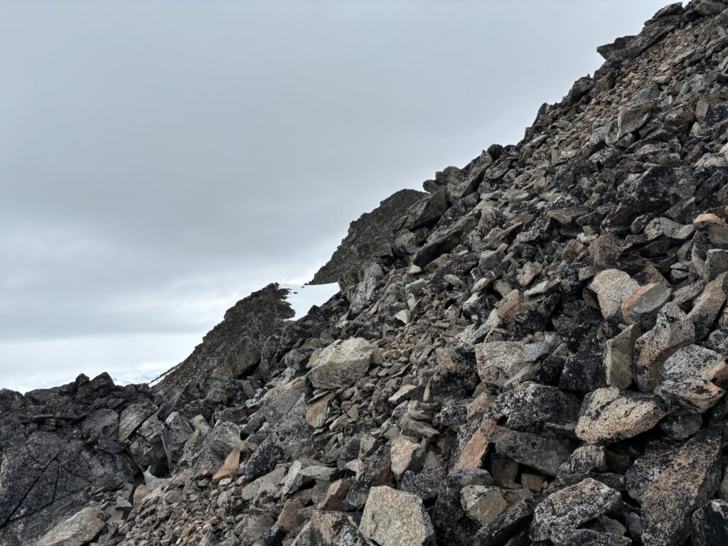
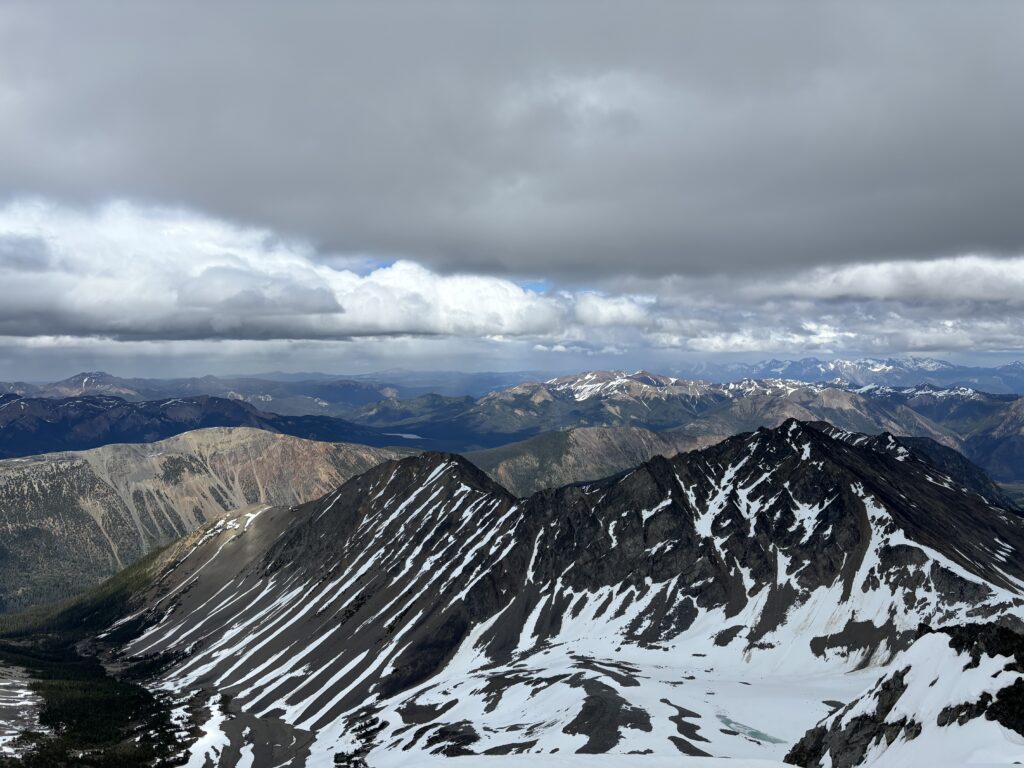
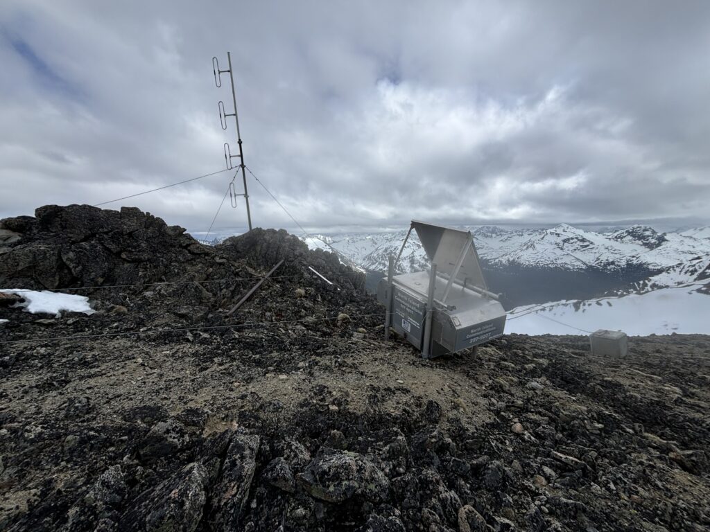
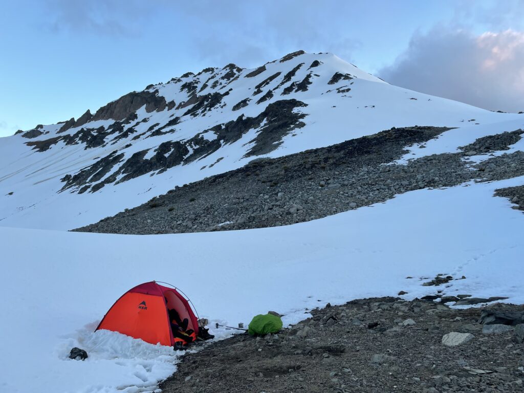
At the pass between Gait/Gallop Peak and Leckie Peak we decided to ditch our gear and make this our camp site. Due to the high winds we opted to leave the tent packed up until we returned. With that we set off up the long ridge to “Spooky Peak” an unofficial 85m bump that forms the connecting ridge with Leckie Peak. The ridge was snow free and we had straight forward scrambling up to Leckie Peaks south ridge.
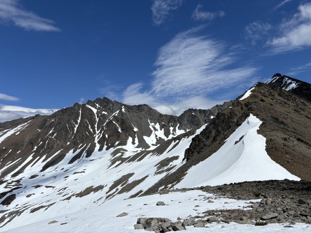
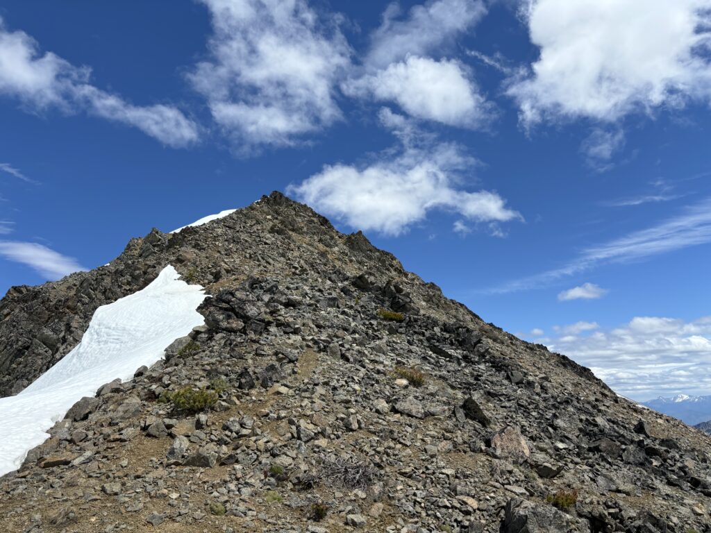
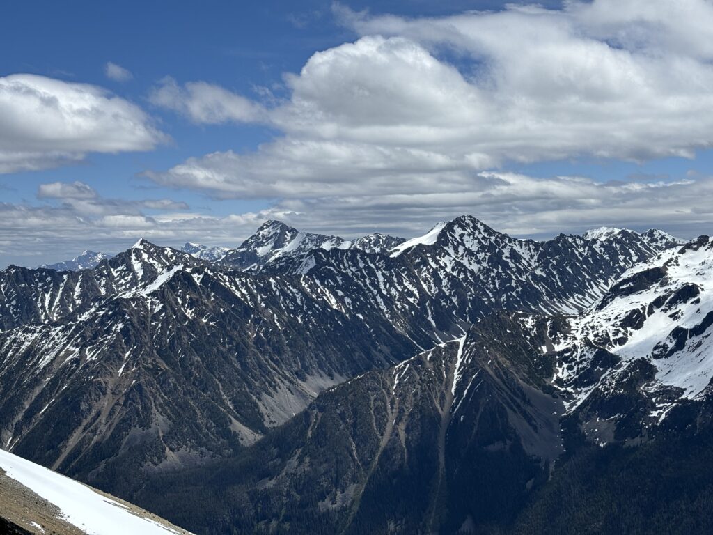
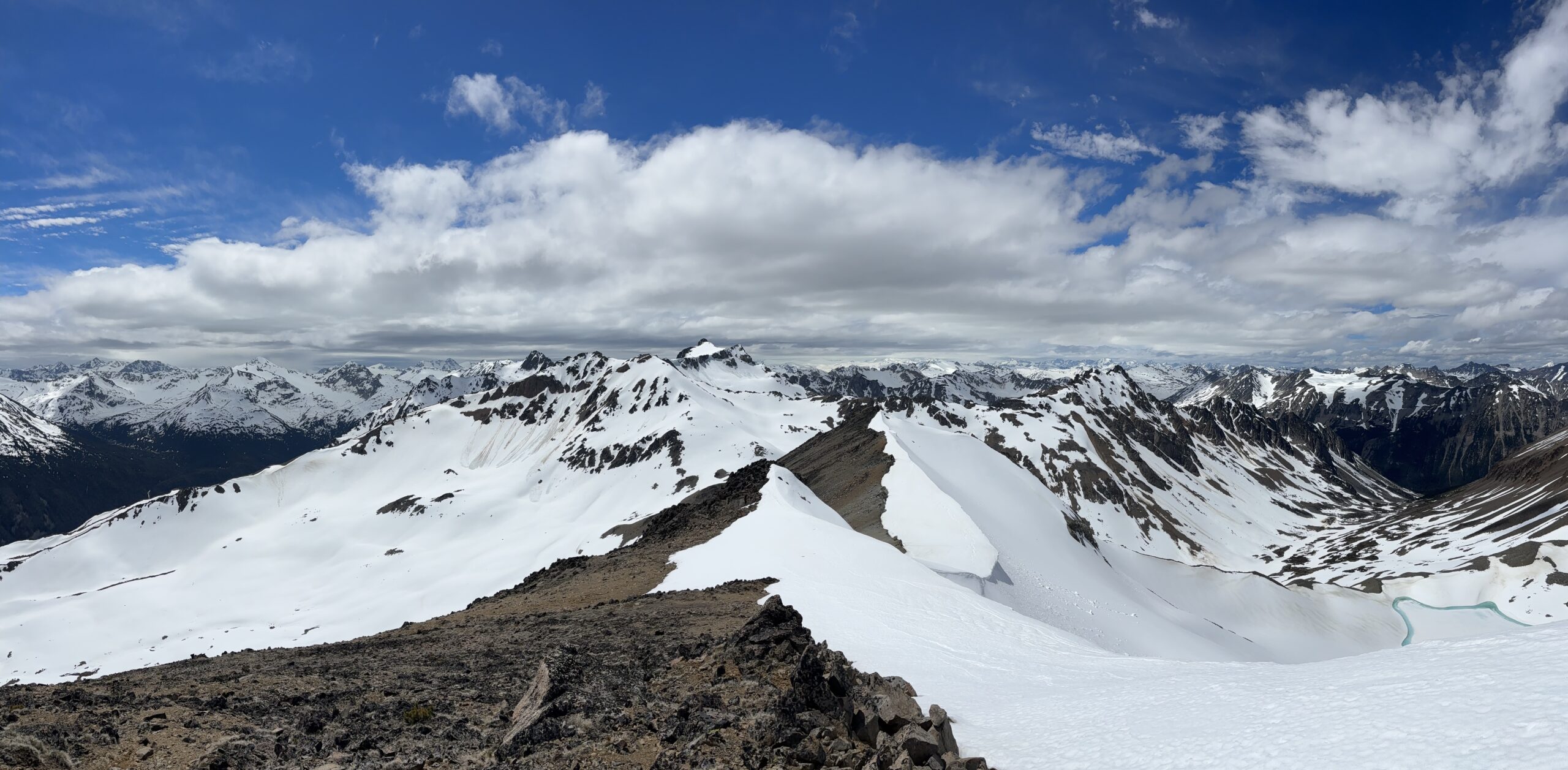
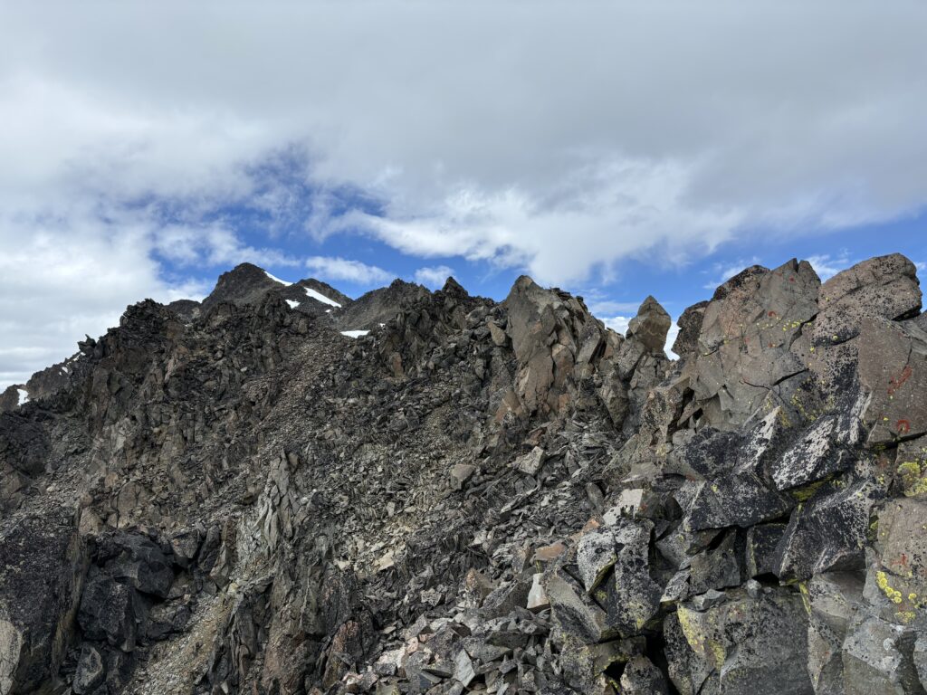
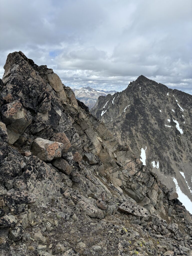
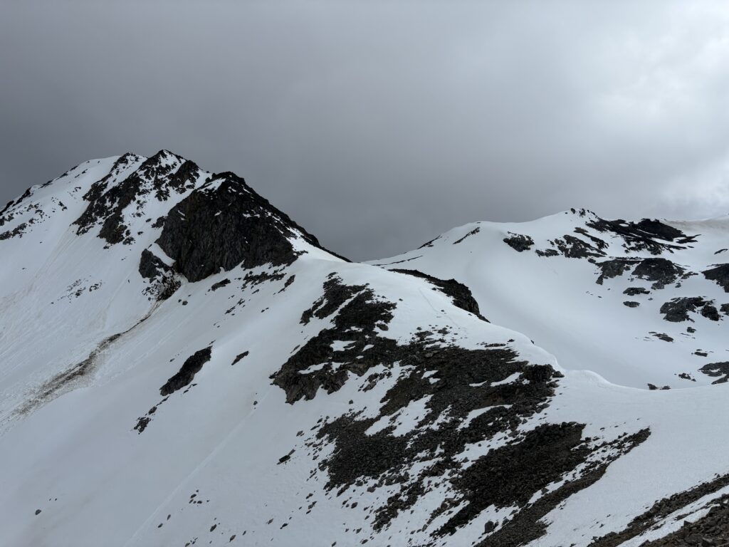
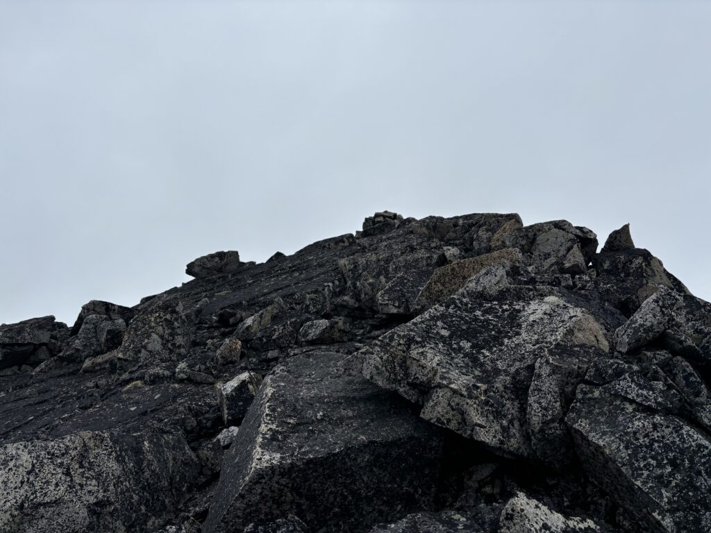
Now we descended about 85m to the col between Spooky Peak and Leckie Peak avoiding gendarmes and down climbing where sections of broken ridge necessitated it. Overall the route didn’t exceed 2nd class. By now we were also noticing large rain clouds filling the horizon. It was looking like the forecast was a bit off and we were doomed to get rained on no matter what. There was no point in turning back at this point though so we pressed on and scrambled up the remaining south ridge to the summit. This section proved to be quite easy and there were no technical difficulties to reach the top. The rain finally closed in on us too, but thankfully moved on rather quickly and we caught some reprieve just 10 minutes later.
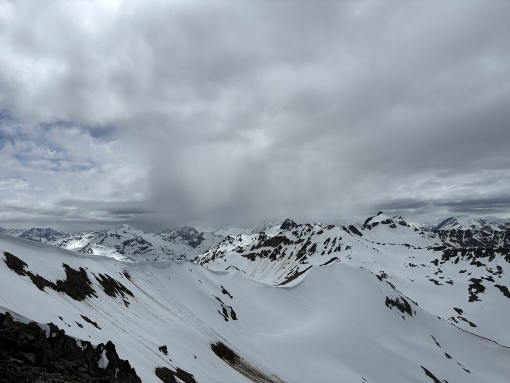
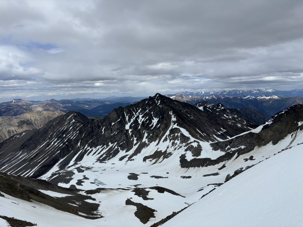
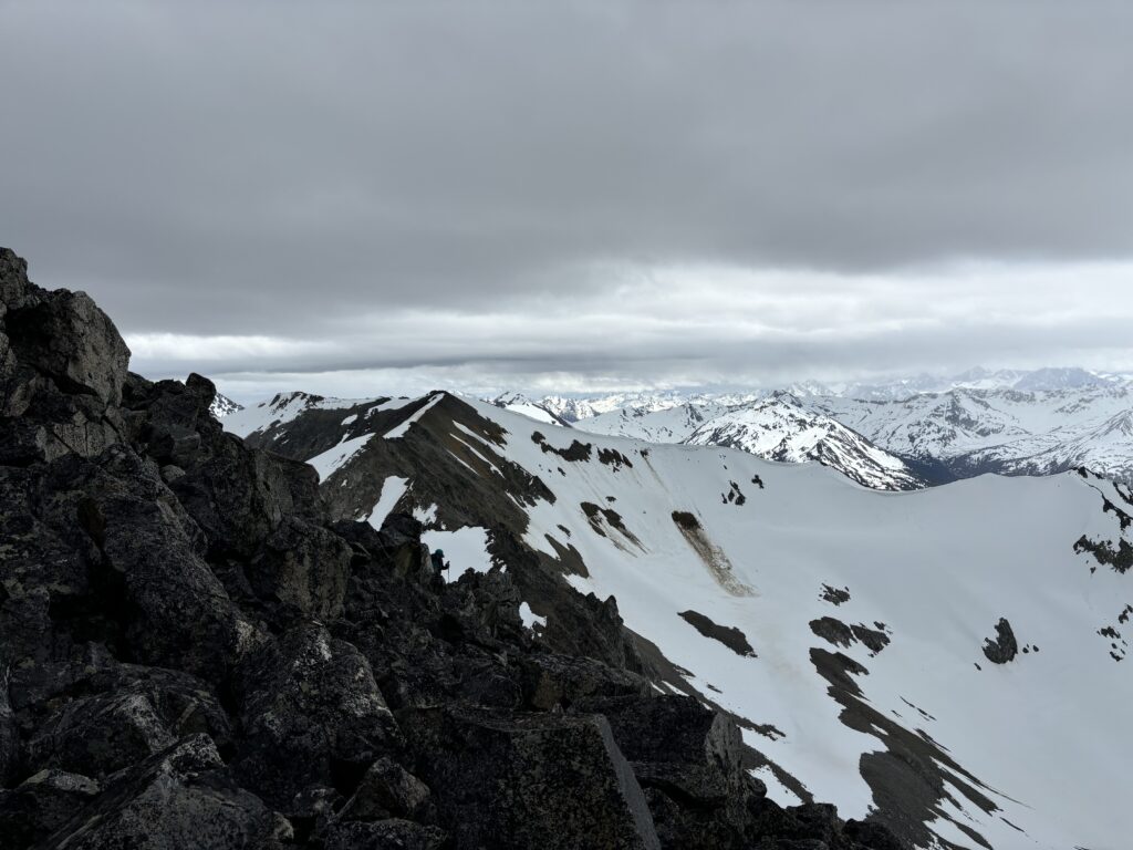
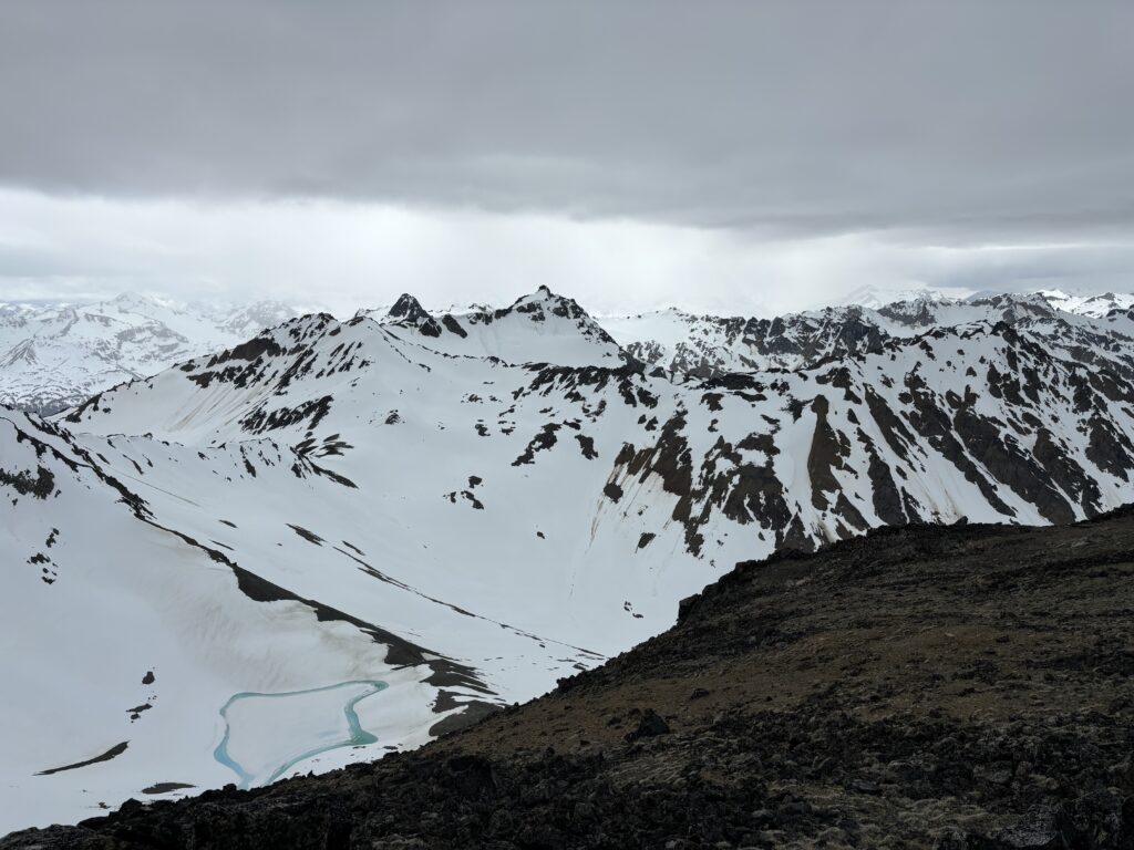
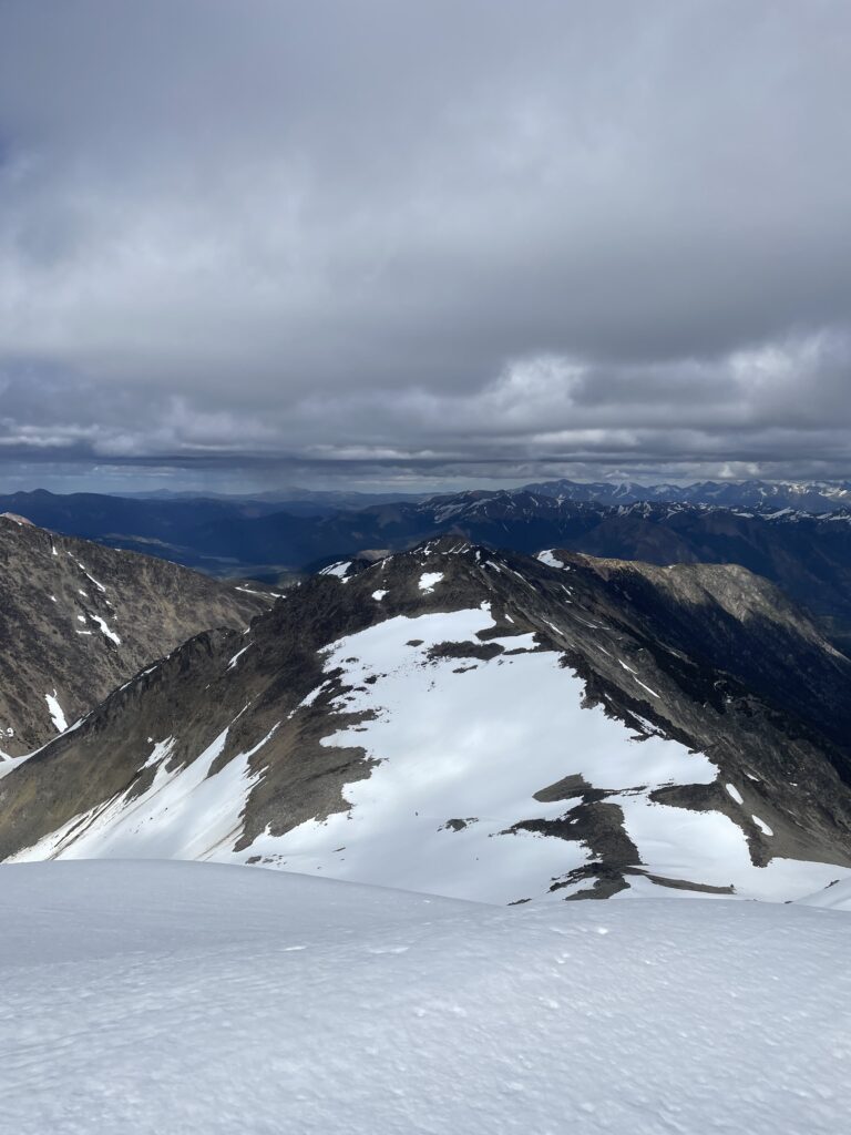
With the sky opening up again we stuck around in the hopes of some sunshine, but sadly only the surrounding peaks would be hit with envious warmth. Further down the range we saw another bout of rain rolling and decided to start heading back at last. As we descended the ridge I started to contemplate how to make the most of the remaining evening. We still had 5 hours until dark and there were two interesting summits to pick from. Farrier Peak to the east looked easy, but also seemed the most out of the way and least likely climbed. Meanwhile Gallop Peak had a cool looking ridge line and potential for scrambling. Somewhere along the ridge I kicked a small rock down and started a size one wet loose avalanche on the east side. I tried another rock on purpose this time and initiated yet another slide. All of the sudden I was reconsidering any peaks with snow. We pushed on up the ridge while I pondered the instabilities.
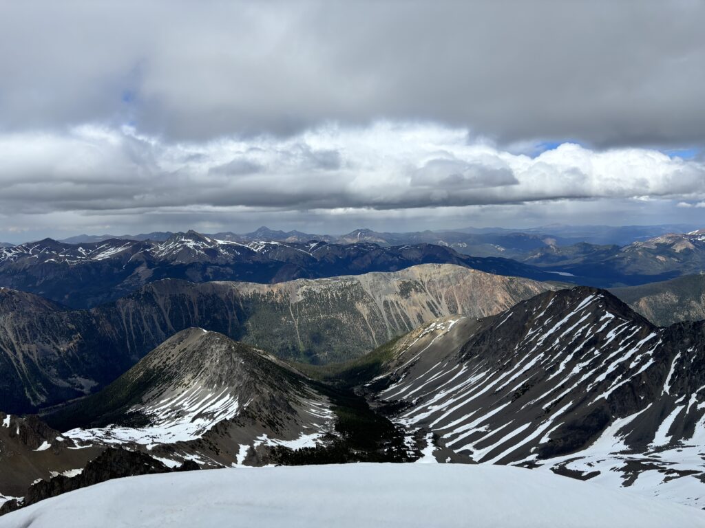
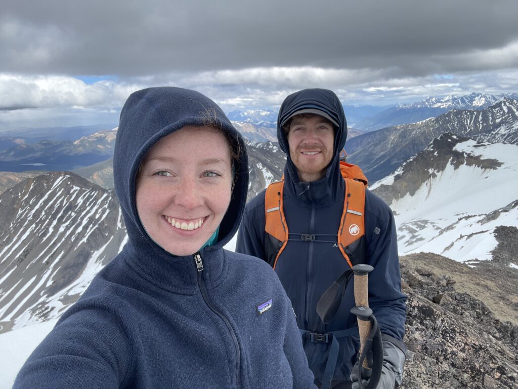
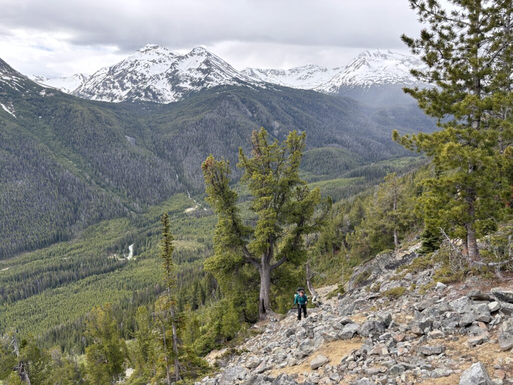
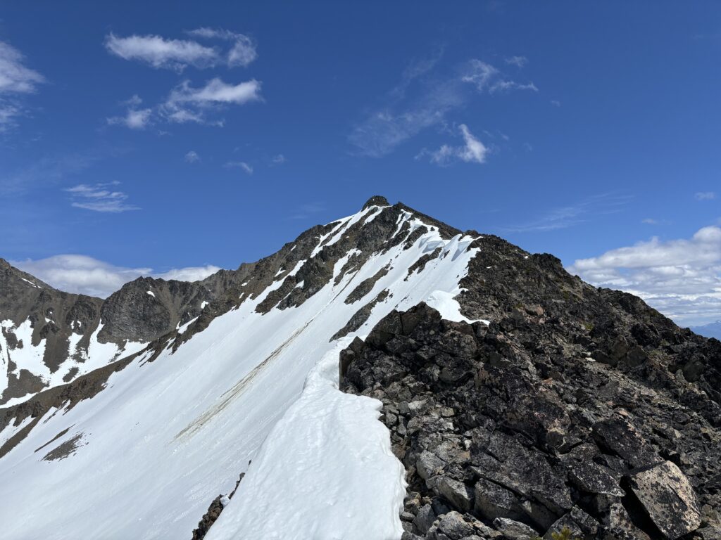
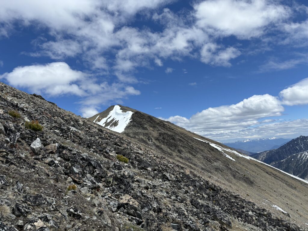
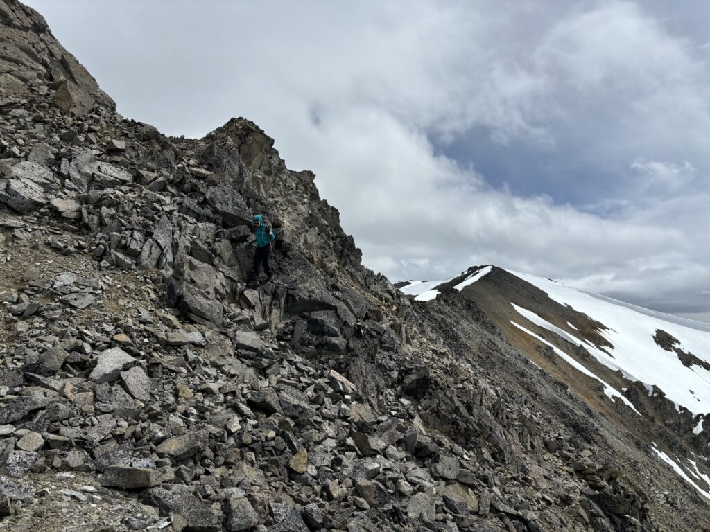
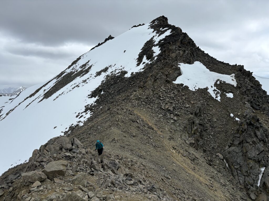
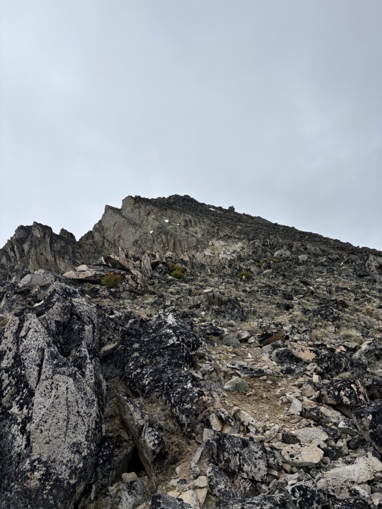
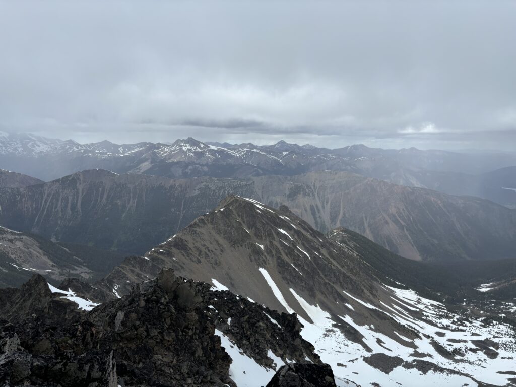
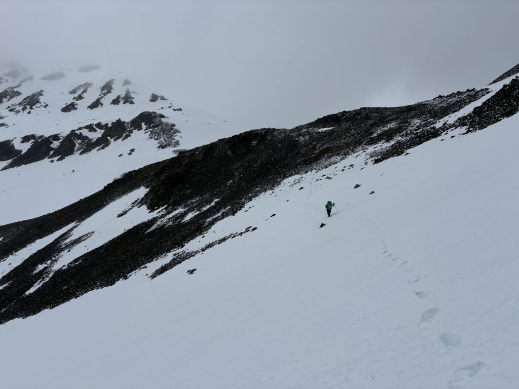
By the time we reached Spooky Peak again I decided we should go for Farrier. We could then do Gallop Peak in the morning since it was close to camp and the snow was more solid. Unfortunately, Andrea was not feeling well and had hit her limit for the day. She encouraged me to push on without her and she would wait out on the ridge line for me in a sheltered spot. So, I headed down towards the false Leckie summit avoiding any steep snow and eventually crossing a tame field aiming for a notch in the north ridge. As I made the crossing I looked up and noticed vertical rock below the false Leckie summit and realized by some luck I had picked the only decent route to the ridge.
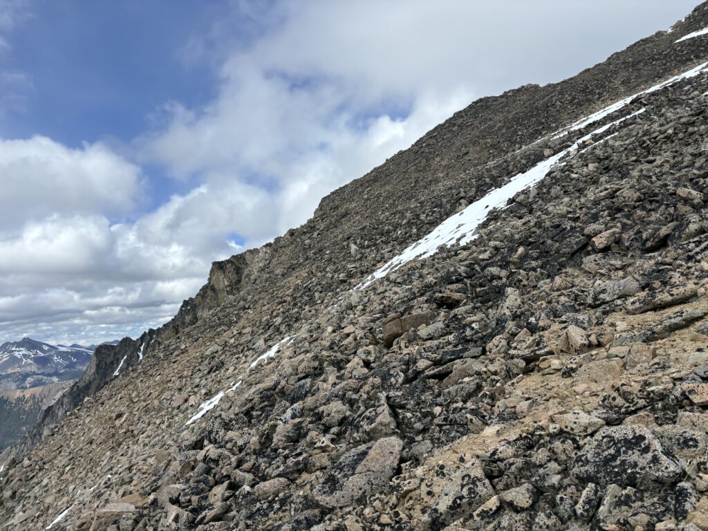
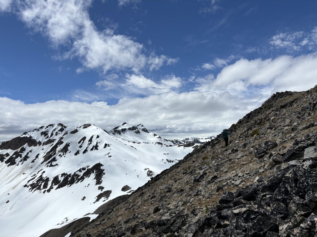
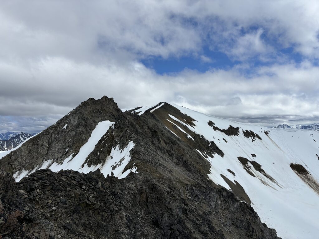
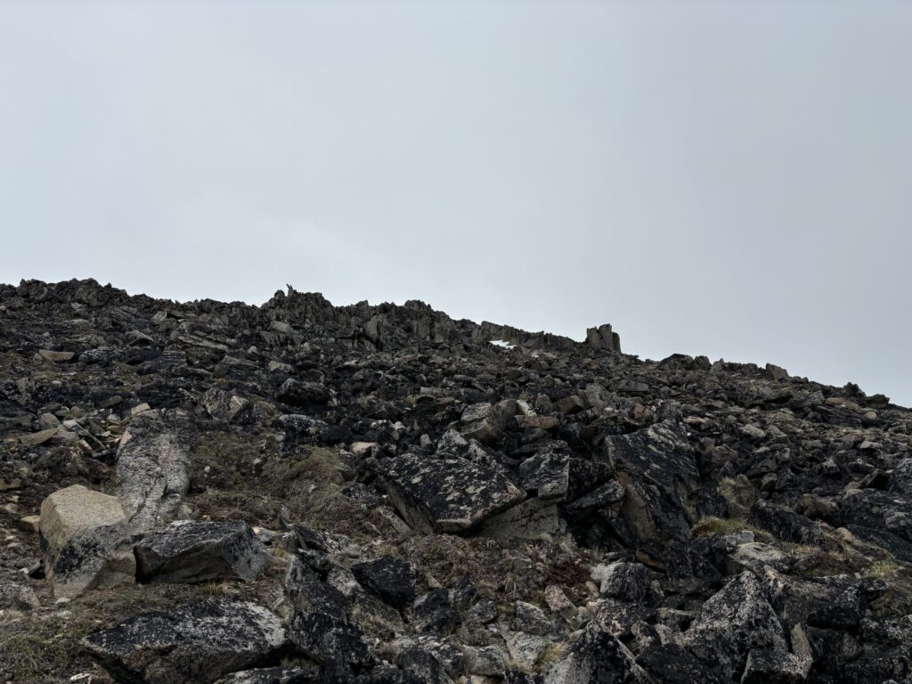
I headed down the north ridge with relative ease and then a short descent on snow to reach the col. Now it was a 200m slog up relatively straightforward scree and talus wrapping slight east around the summit to gain the top. As I neared the end, I turned around to see Andrea’s ridge shelter get engulfed in rain clouds. It seems the forecast was off by a country mile as we kept getting hit with periodic rain flurries. I didn’t want to leave Andrea freezing up there, so I took a handful of photos and rushed down. The rocks were a bit slick as the first bit of rain started coming in, but I managed to avoid any falls and reached the col again in short order. Now I was gassed though and I struggled my way up the steep north ridge in the rain. I had to pause a few times, but eventually reached that notch and traversed back onto the west ridge of the false Leckie Peak. From there I picked my way through the talus and reached Andrea at last.
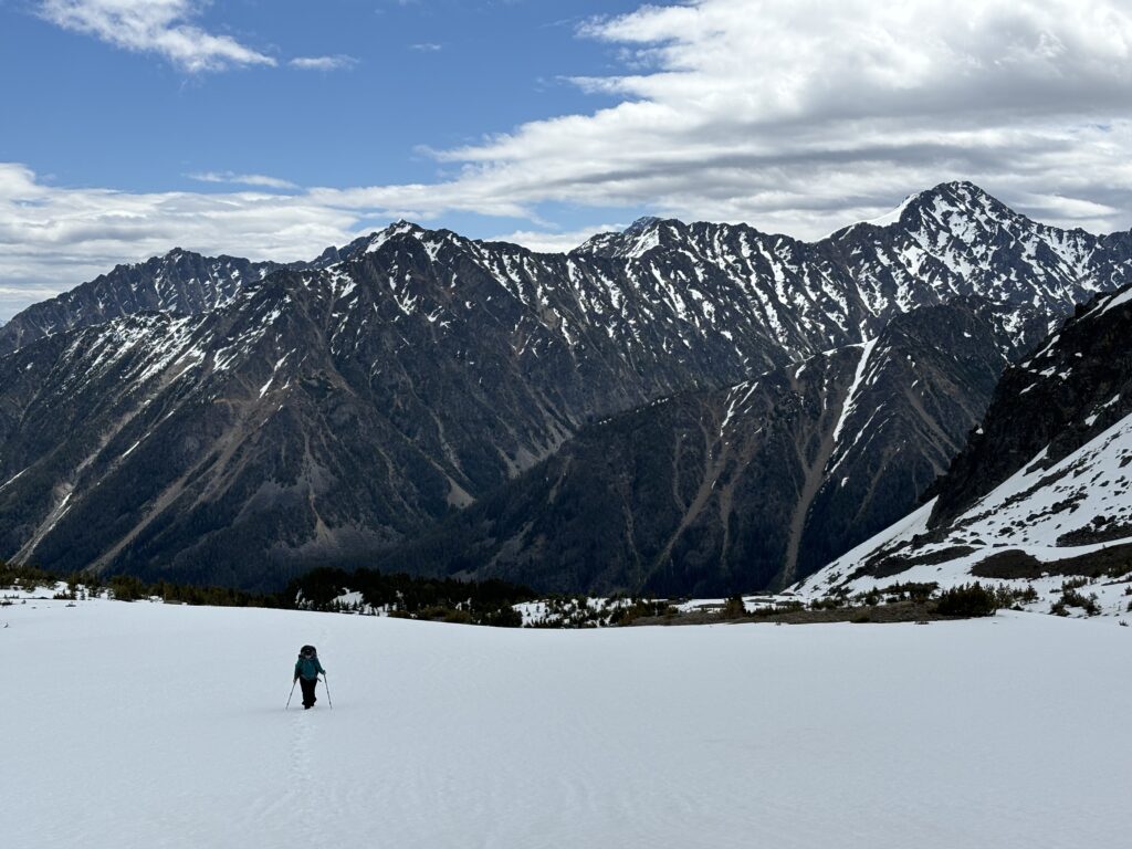
The two peaks alone had been over 2000m of elevation gain and now I was more than ready to escape the weather and get some warm food. Andrea was in the same boat and so we side hilled back along the ridge of Spooky Peak to gain a section lower down. From there it was a simple plod back to the pass where our gear awaited us. We opted to set up camp in the snow a bit further south of the pass where we were a bit more sheltered from the wind. Both of us got to work setting up the tent and getting dinner going before finally settling in for a sleep out of the wind and cold rain.

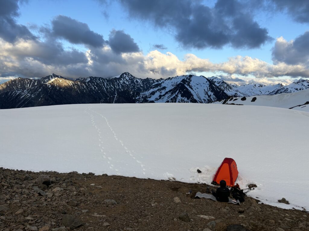
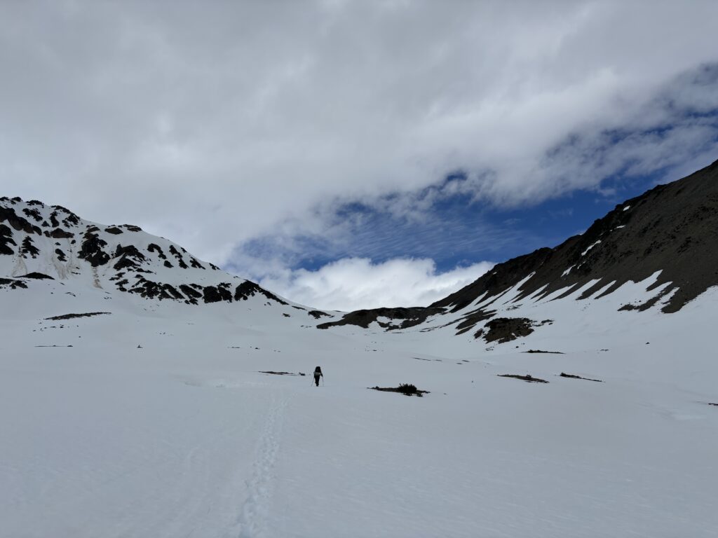
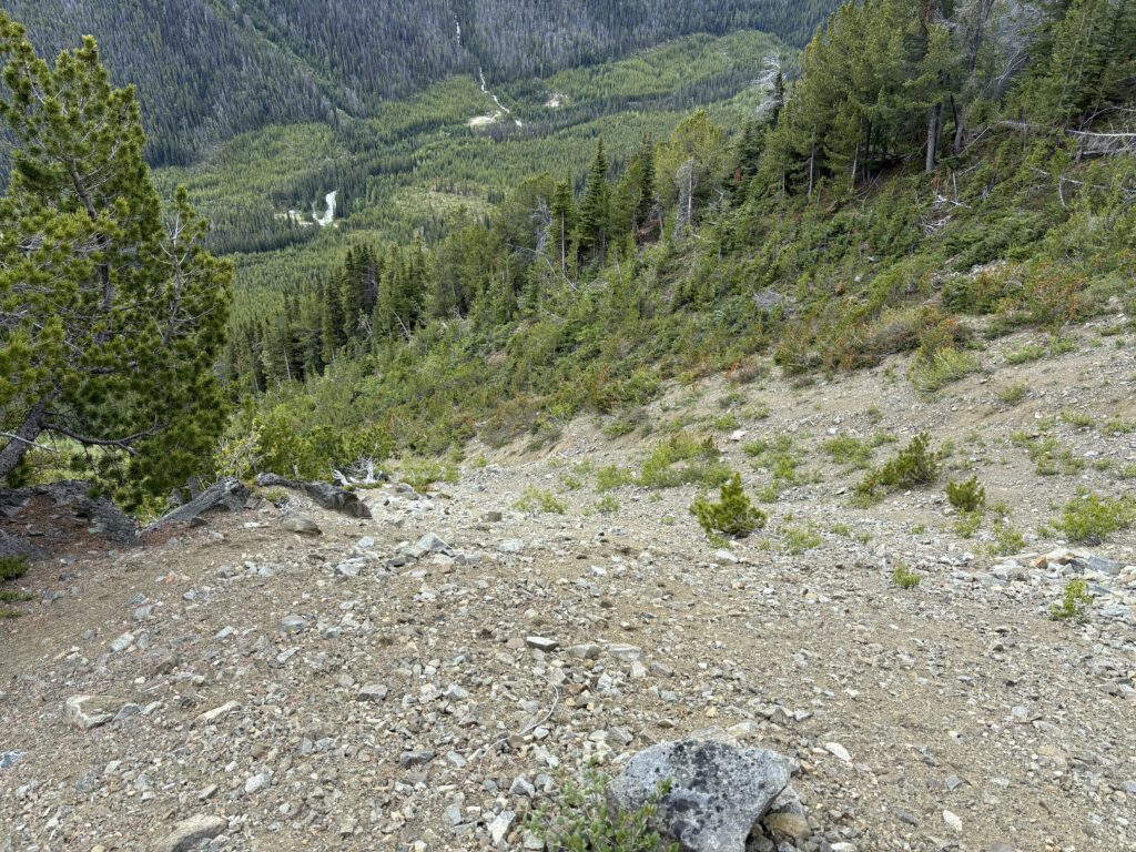
When we awoke the next morning our tent was covered in snow and getting pelted by more wind and precipitation. I had a quick peak outside and it looked kind of miserable. We made the call then and there to just head down as most of the summits we wanted to do would be in the clouds. Reluctantly, we packed up and stepped into wet cold boots before heading back down the valley. Our return trip was thankfully pretty short and easy and we just roughly followed our path in avoiding almost any bushwhacking at all.
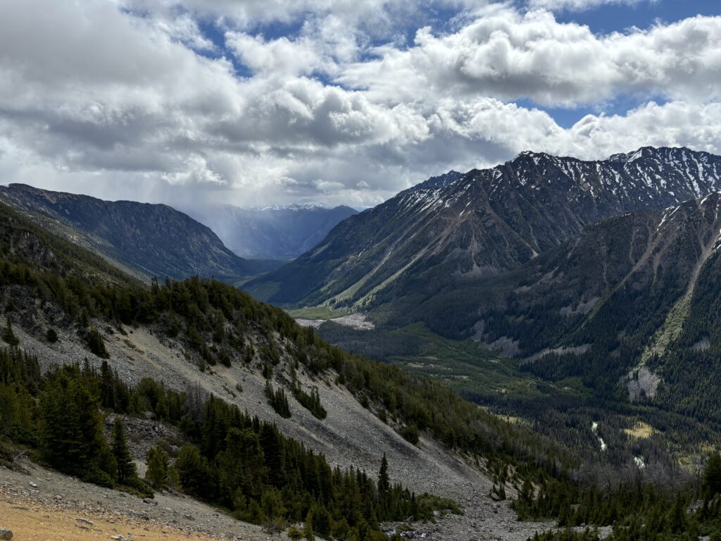
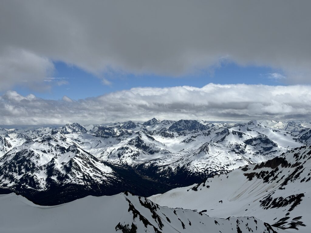
Once back at the truck the sun creeped back out, but we could see many of the peaks still getting shrouded in rain and clouds. It seems we had made the right call. The Bridge River area continues to be one of my favourites. It’s remote with striking summits, unique geology and the ability to explore all over. Leckie Peak had a nice easy approach with hardly any bushwhacking and I highly recommend it.