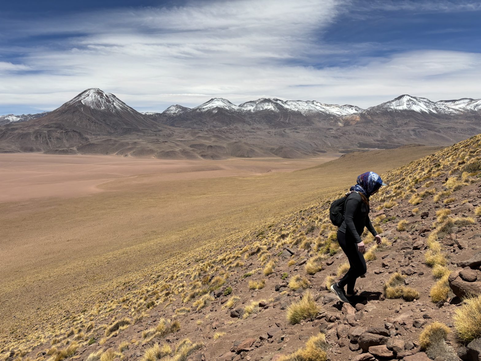
Elevation Gain: 374m
Distance: 2.49km
Total Time: 3 hours 22 minutes (nap included :D)
Date: November 15th, 2023
Now several days into our stay at San Pedro, Andrea and I had slowly gotten a lay of the land. We figured out rather quickly that if we wanted to climb any peaks or volcanoes we’d need to pay exorbitant amounts for a guide. Cerro Toco, a nearby 5600m peak, had a mere 4km hike with 400m of elevation and guides still wanted minimum $100 per person… of course you’re also paying for the ride, but it’s only 30 minutes out of town. Neither of us wanted to rely on guides, but if a cheap enough option had presented itself we may well have jumped on it. So, with that, we sort of resigned to bike-accessible summits like Cerro de la Guacha.
That changed one afternoon when we were speaking with a couple from our hostel who had sequestered a reasonably priced rental car. We did some sleuthing and discovered a palatable option to get to some nearby peaks. The caveat was that on such short notice, no 4×4 vehicles were available. We’d have to manage with a cross-over type car. I figured we could make the most of it, so we pulled the proverbial trigger and booked one for two days.
Now we had to figure out where to go! Cerro Toco did come to mind, but recent information revealed that authorities were restricting access to guides only. So I turned my attention further north where a number of accessible looking peaks were abound. The strategy was to pick summits that were close to major tour routes as the roads were most likely to be well maintained. Several good options came up and we eventually settled on: Cerro Jorquencal and Domo Falda Grande. Jorquencal was ~400m taller at a respectable 4950m and both looked like a straightforward hike up. The plan was to take ruta B-245 and drive up as close as we could to the base and then hike Jorquencal first followed by Domo Falda Grande.
We headed out for our journey on the Wednesday and found easy gravel roads all the way up to the small outpost of Guatin. I stuck right onto to B-245 and the road worsened a touch but was still relatively good up to a tourist area called Termas de Puritama. After that the road degraded heavily and just a few kilometer later I was balancing the tires on two narrow tracks in between major road wash outs. This was the car or place to push it, so we made the call to retreat and try driving Camino a Machuca. Machuca was also the major road that most tour companies took to the geysers further north, so it looked promising.
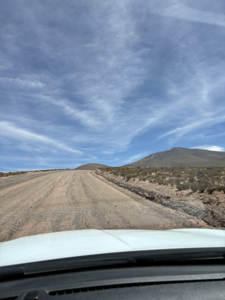
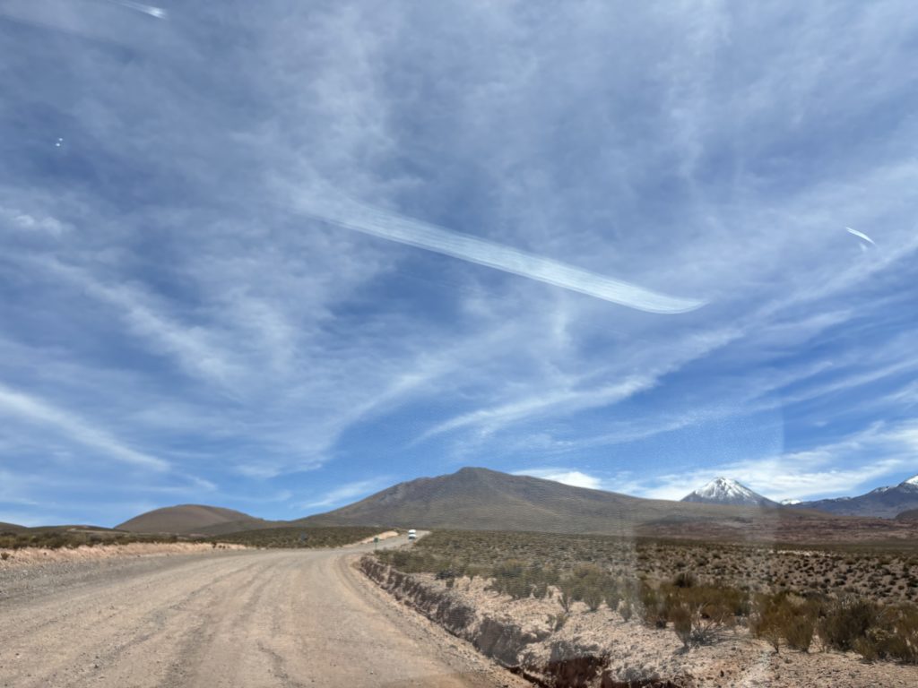
Sure enough when we took the left turn at Gautin, it was smooth sailing. I drove up to the junction with B-245 (it connects again in the north, a few kilometer past Jorquencal) and took a right turn to head back down from the other side this time. Again the road degraded and a sign warned about the upcoming road condition. However, after a kilometer and a bit the road smoothed out and we reached within touching distance of Jorquencal.
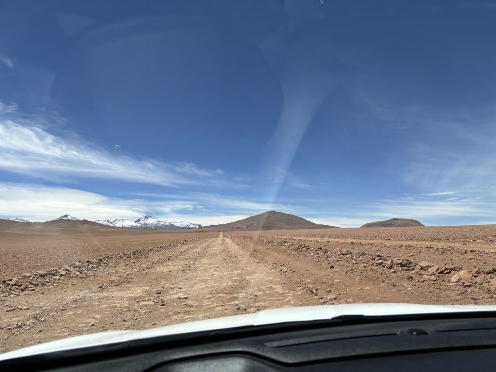
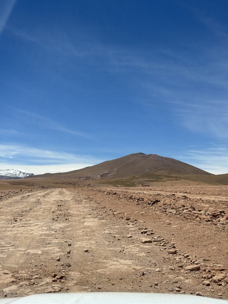
As we had learned on our Uyuni salt flat tour, the deserts were littered with pioneering tire tracks criss-crossing every which way. The relatively flat and smooth desert floor made it easy to veer off the road at any point and choose your own adventure. I didn’t feel at liberty to carve up the desert, but I did spot one such set of well-used tracks off the road and up to Jorquencal. Not one to relish in extra road walking, I managed to drive us right up to the base where a fine parking spot awaited us.
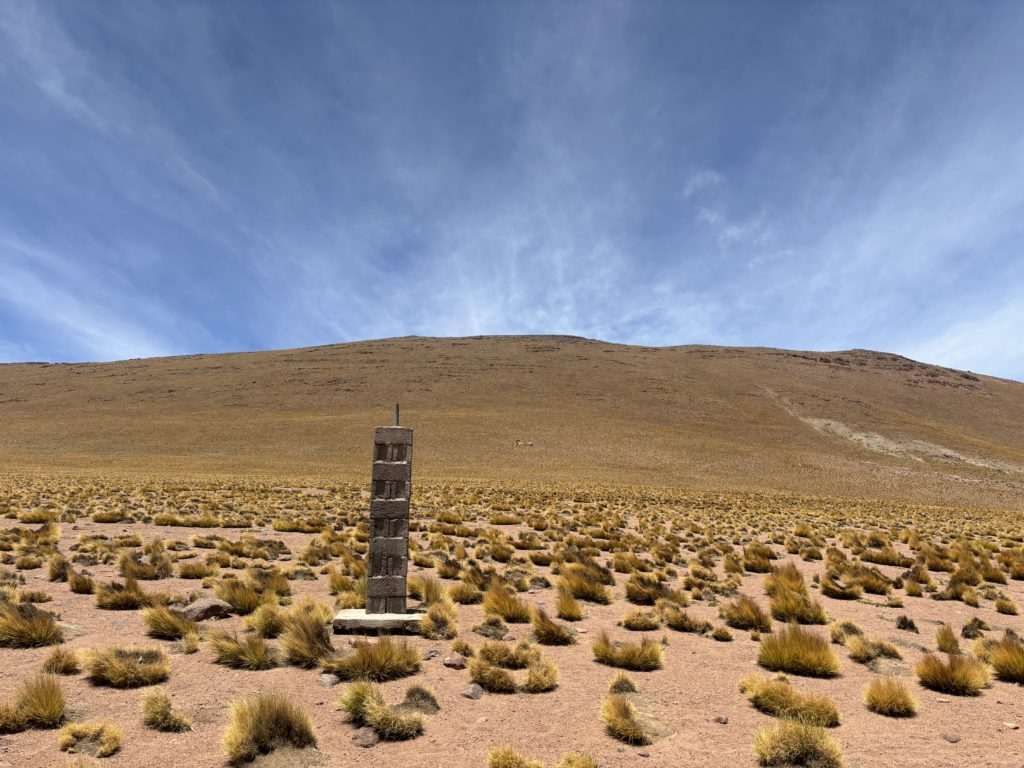
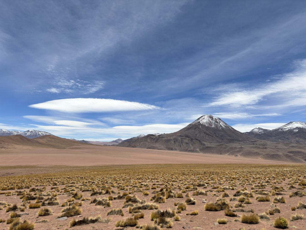
We hopped out and started hiking up, choosing whichever path looked most reasonable. The elevation certainly slowed our pace, but it presented no major challenge and we worked our way up. We had driven to within ~1.2km of the summit and a trivial ~300m of elevation gain. After 1.5 hours we arrived on the summit under tender blue skies and where a row of snow capped volcanoes lined up on the eastern aspect. With so much time on our hands a nap was inevitable and we rested on the top for 30 minutes before figuring out our action. Originally, we wanted to traverse the ridge and hike up Domo Falda Grande, but now were weren’t feeling super inspired. It was going to be less interesting views and much lower. Another peak Cerro Mellizos looked like a more promising peak.
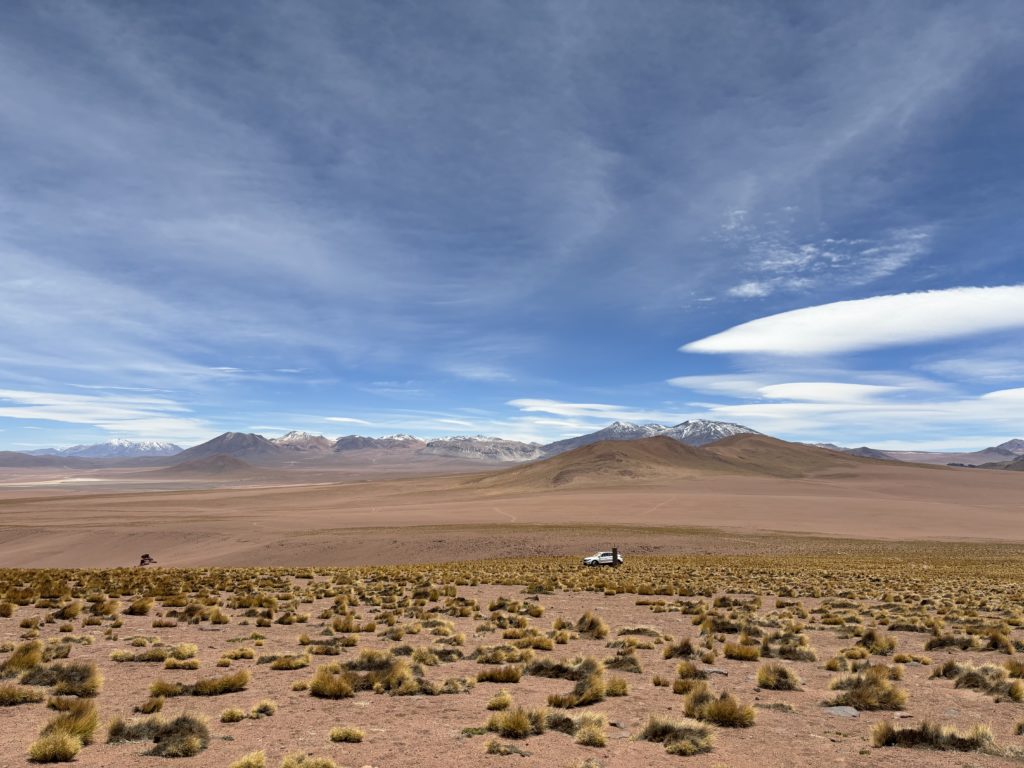
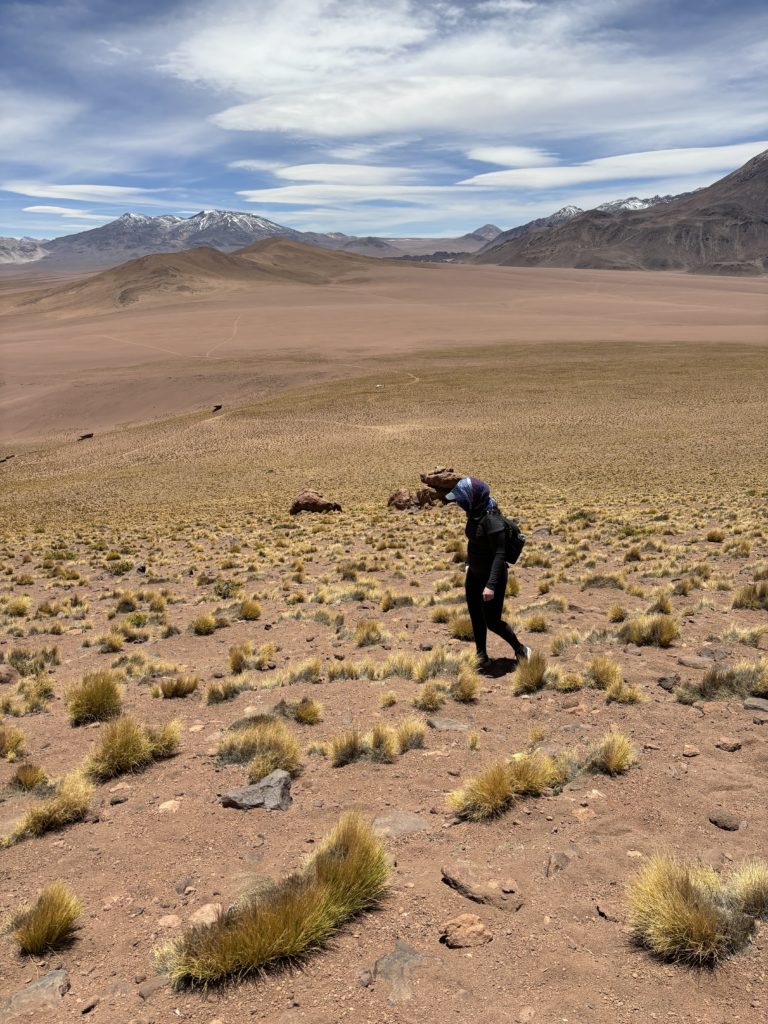
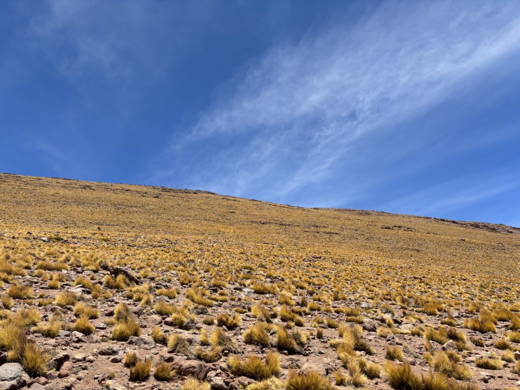
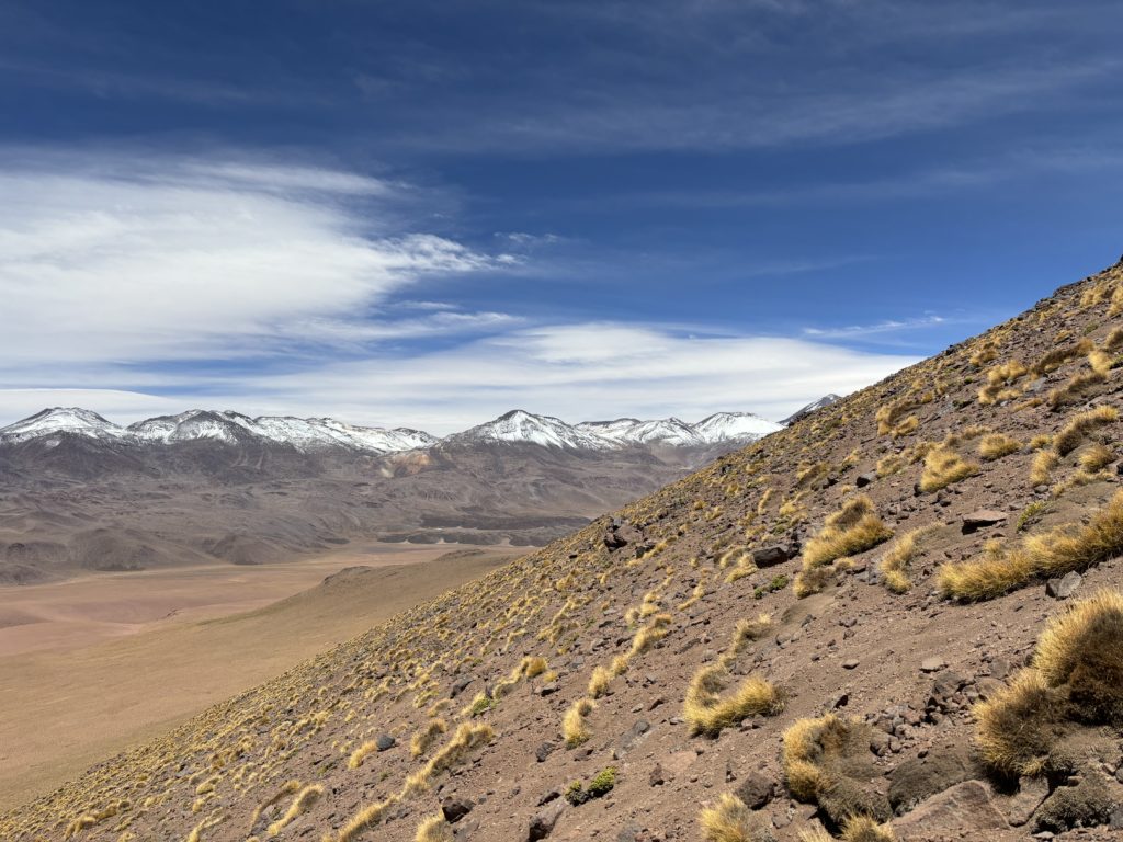

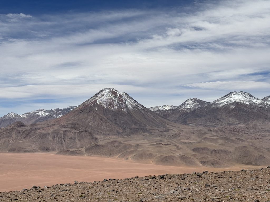
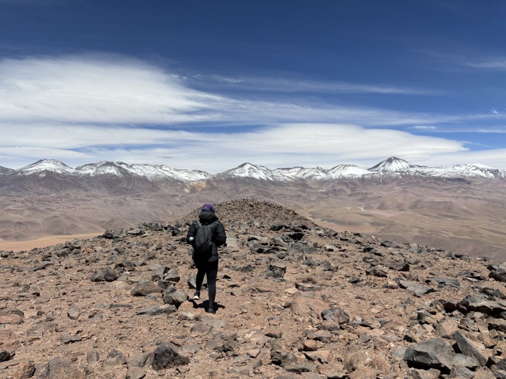
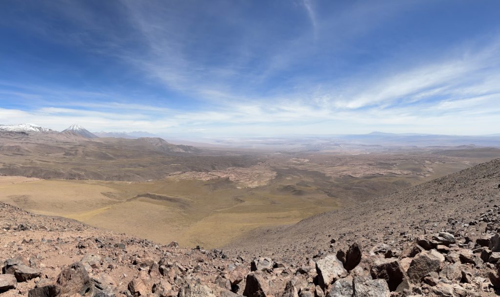

With that, we headed down, locating a faint trail on the descent. We lost it part way down and just chose our own way again, reaching the car in short time. Off to Cerro Mellizos next!
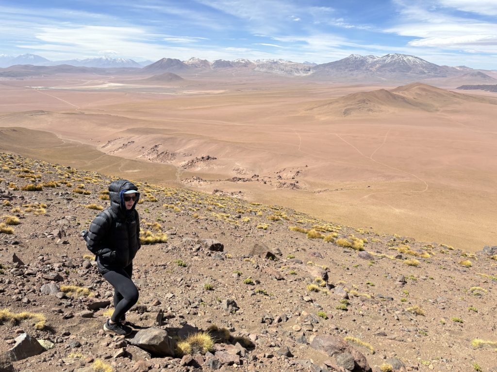
If you have a rental car, this is a super worthwhile peak and great if you’re just working on acclimatizing. It’s too bad the road is degrading, but I sense that washout events are relatively rare around the desert.
