
Elevation Gain: 1,074m
Distance: 17.71km
Total Time: 6 hours 17 minutes
Date: October 1st, 2023
After spending the night in Hart’s Pass, Andrea and I still had one more day to take advantage of the good weather. She had diligently planned a number of options for us and now it just came down to what we were in the mood for hiking up. Trappers Peak was one such option that came up and it was conveniently right on the route back home. Furthermore, it was not an overly committing day and that meant we might be back at a reasonable hour. For these reasons alone, we couldn’t pass it up. There was one potential wrench in the gear though and that’s the numerous parties had reported the access road as being one of the worst in Washington. By BC standards this may be a total show stopper, so we’d have to get there and found out.
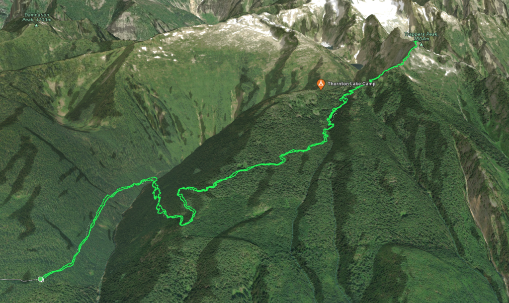
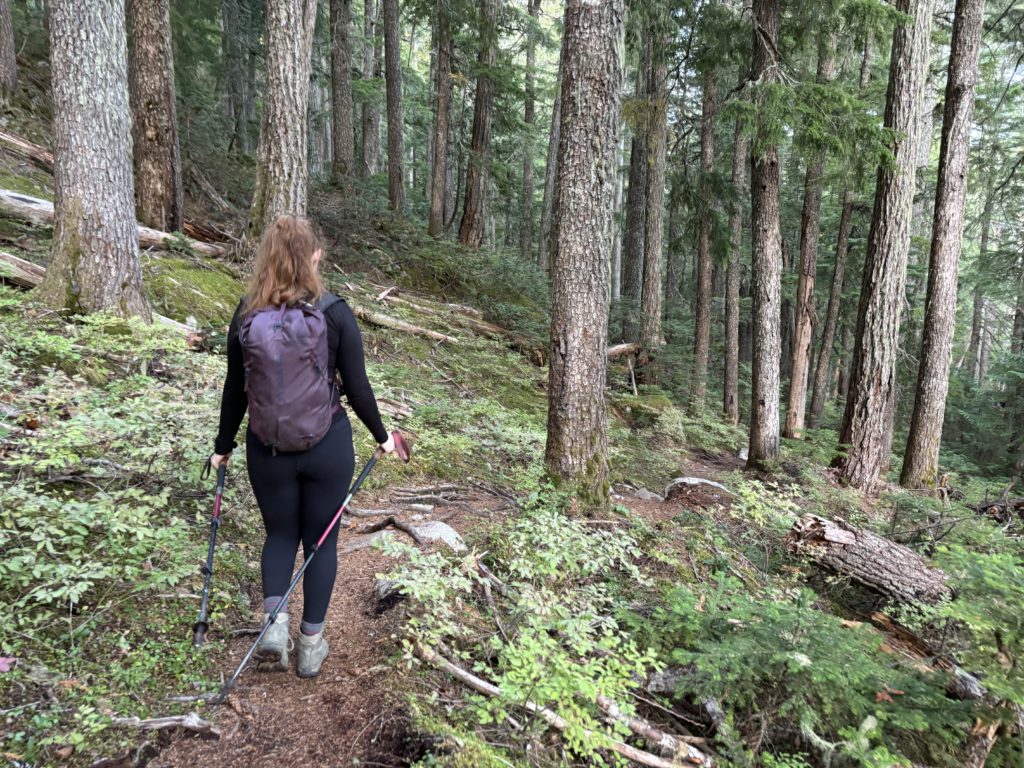
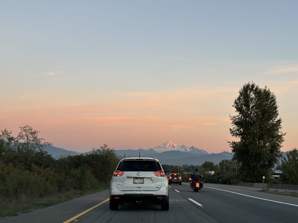
We left Hart’s pass around 8am? Maybe 9am? Honestly… I can’t remember… nor does it matter much. I’m months behind on this trip report so you’ll just have to take my guess at face value. In any event, we reached the start of the road and discovered nothing more then a few tiny water bars. I have no doubt there are many bad roads in Washington, but this is not one of them. We easily cruised up to the trailhead and set out on to the foot bed of an old service road.
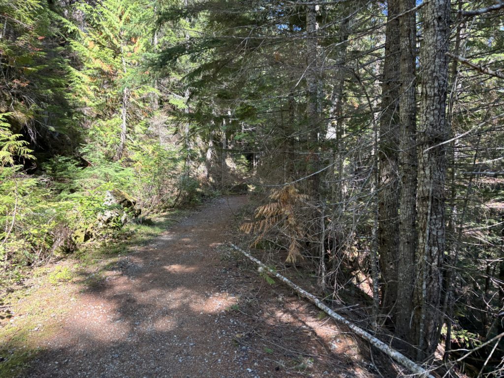
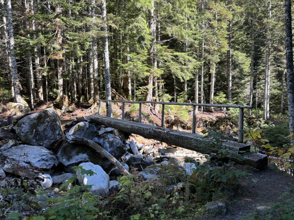
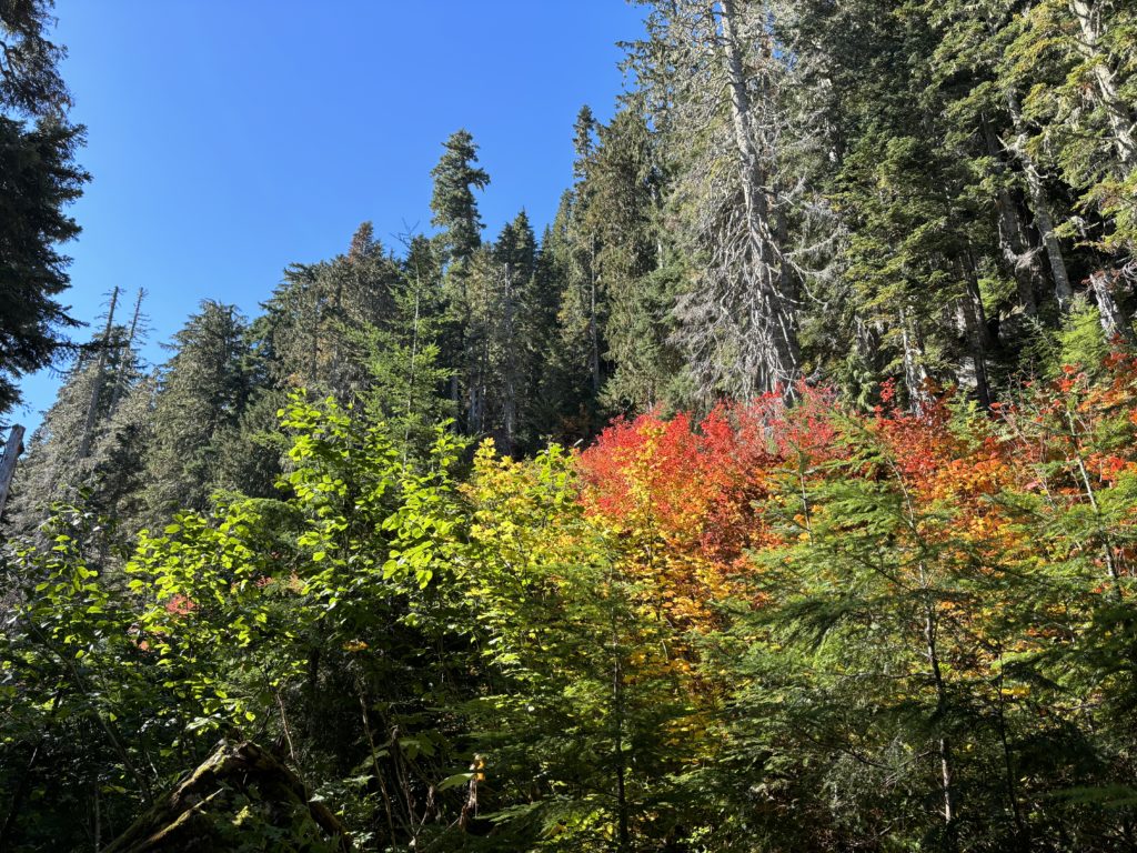
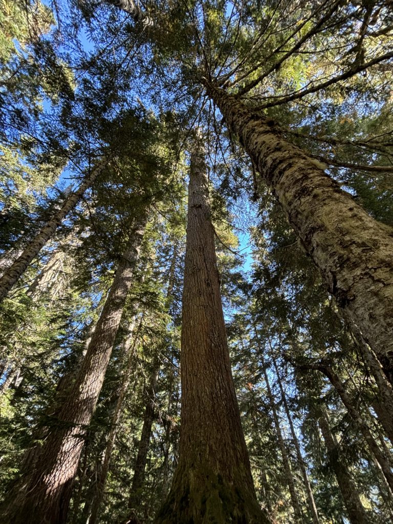
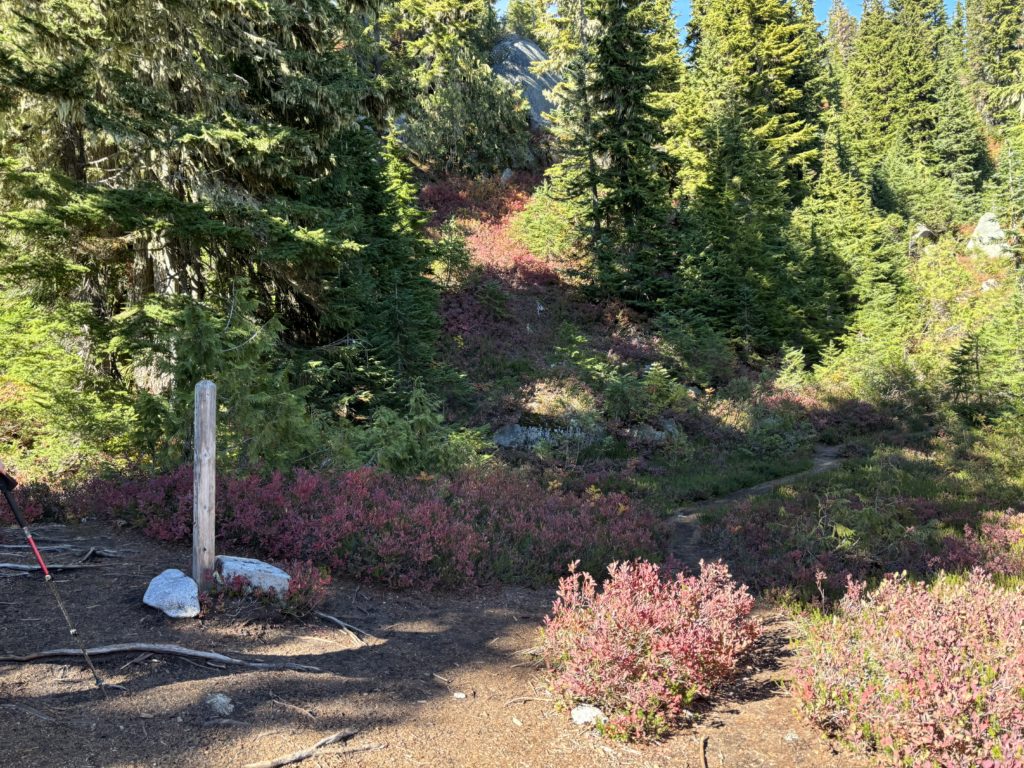
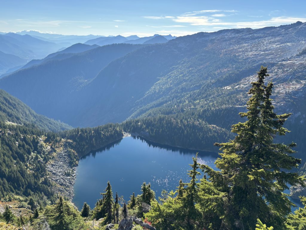
The service road gained slowly up the south slopes for about 4km before the trail veered of and climbed more quickly up through the forest. The trees in here were admirable in size and we stopped a few times to scope out some of the bigger ones. After this short section of old growth we followed the obvious trail for quite some time, maybe 3.5km or so to the trail junction. Still, not much in the way of views but as we started to climb past the junction our first glimpse of Mount Triumph appeared. It was situated a long a massive rocky ridgeline with steep walls on all sides. My friend Steven had climbed this two years ago and I could see the appeal now.
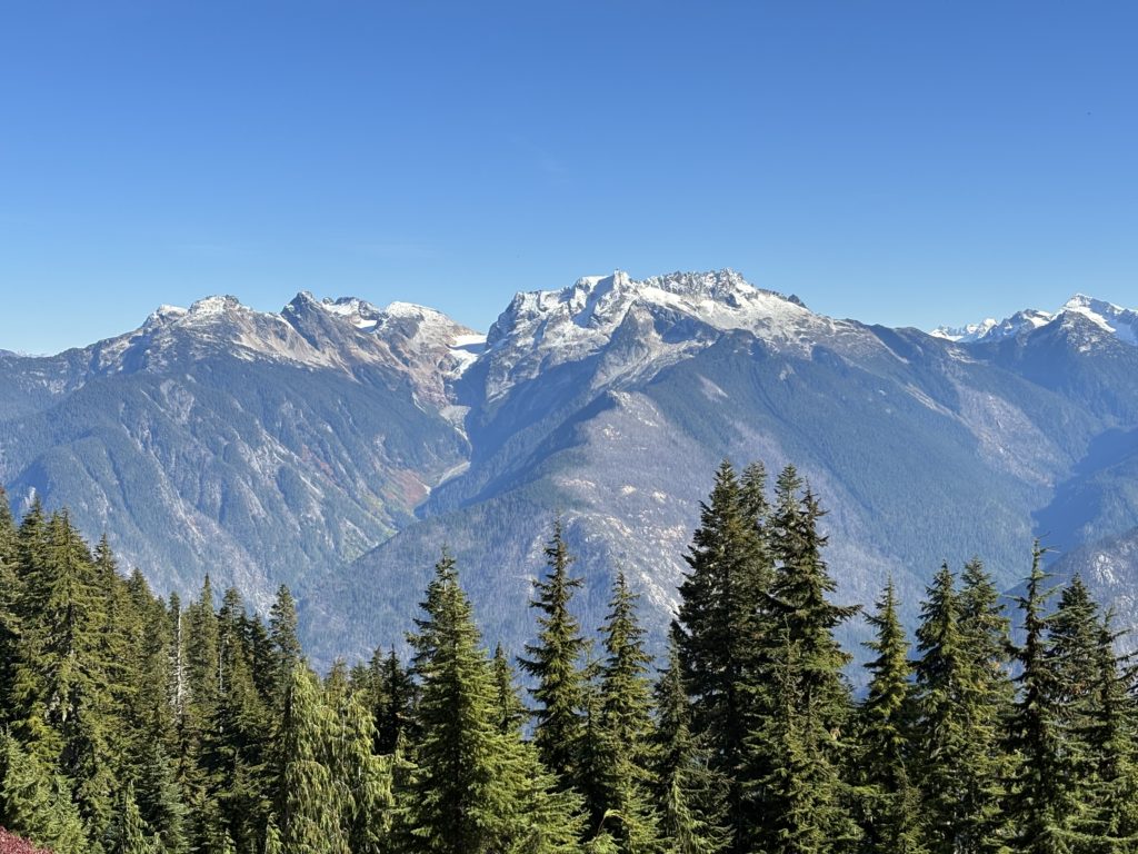
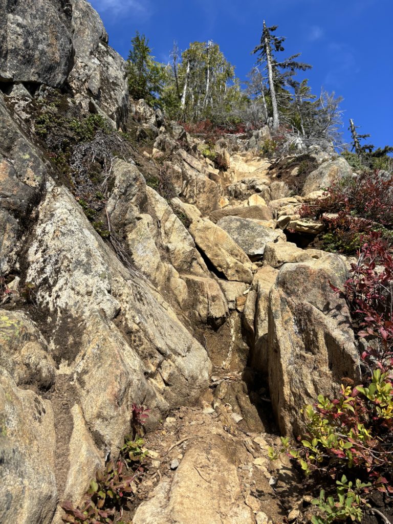
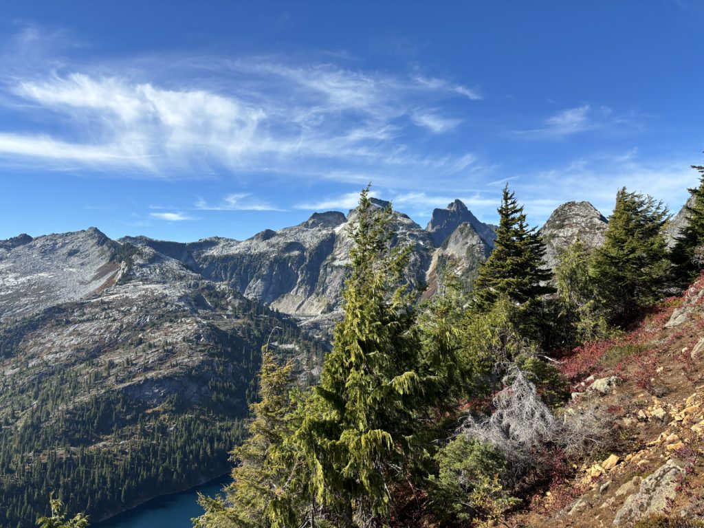
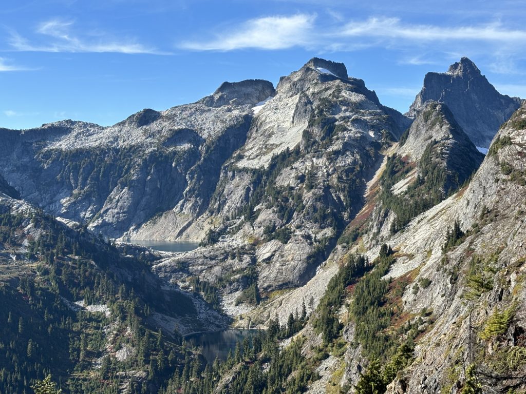
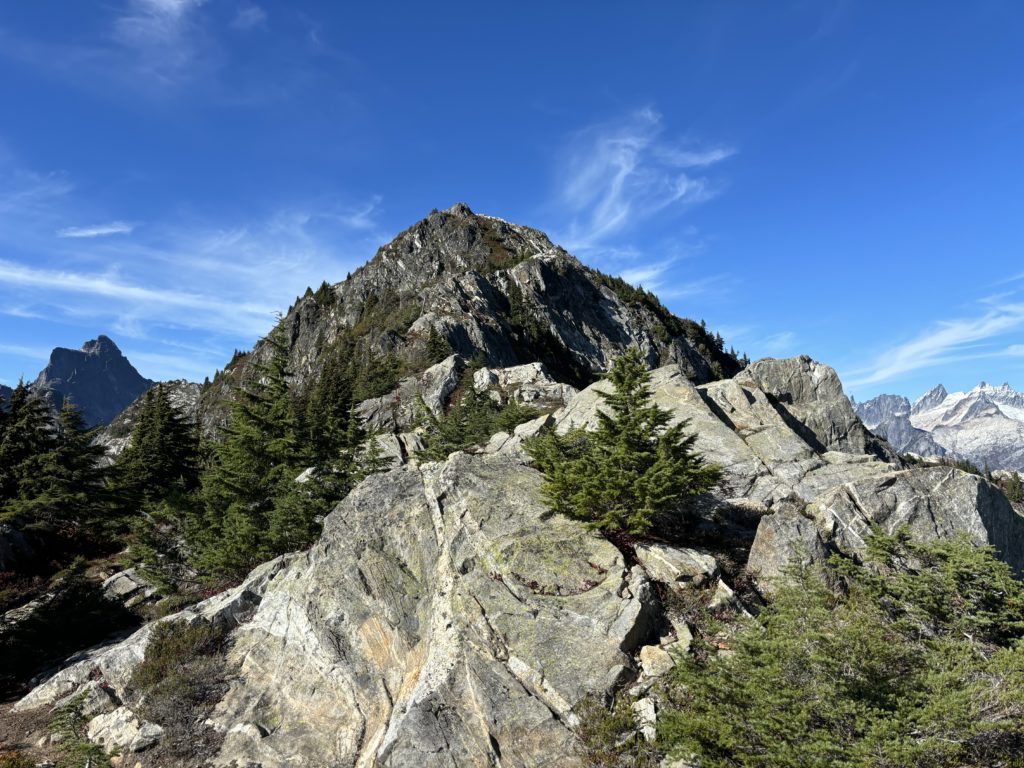
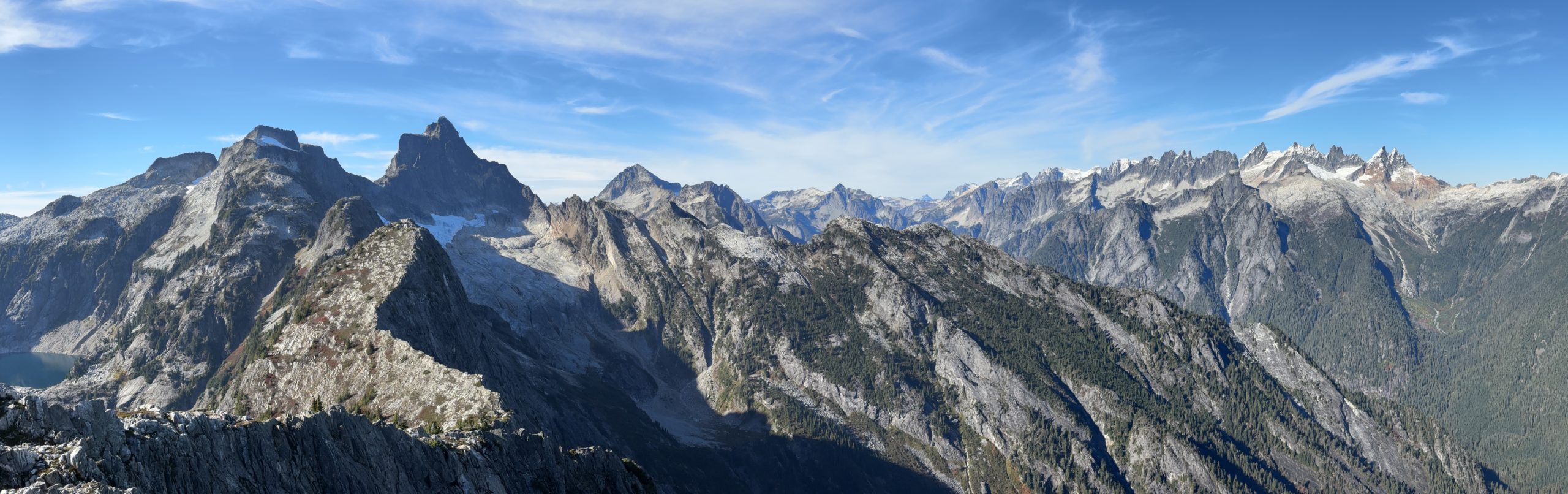
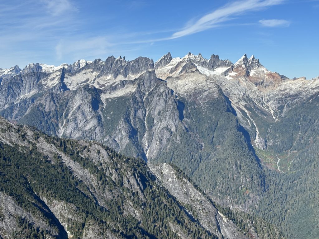
We continued past the first view point and then up and along the ridge. The true summit was about 1km away, so we continued on through the numerous ups and downs until we reached the summit base. There was a short section of 2nd maybe 3rd class scrambling and then we had reached the top. To my complete surprise there was an astonishing view of the Pickets and its cadre of technical looking spires and summits reaching out of the deep valley below. A few of these have gone on the to-do list to say the least.
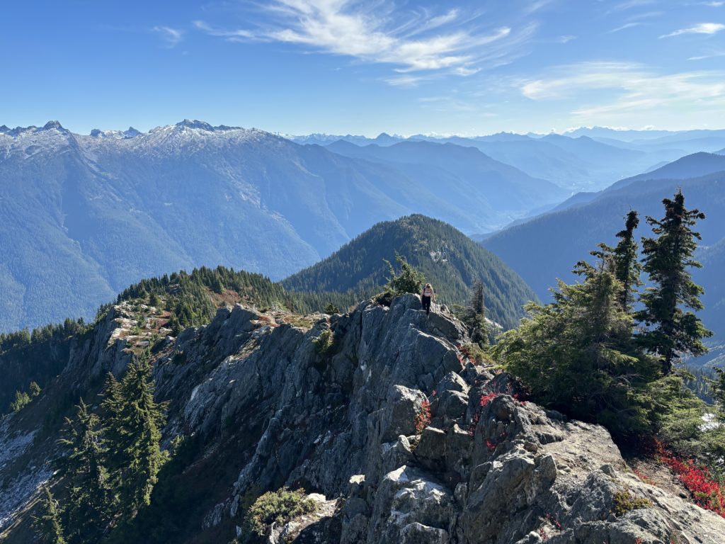

Neither of us were in a big rush and the sun was out so we spent a good deal of time trying to identify peaks and fill up on snacks. Once we started down, the short scramble proved no issue and then we retraced our steps back along the ridge. You know the rest from there, because it’s an obvious trail, so we had no issue returning to the car. All in all a worthwhile stop over to get inspired. The bulk of the trail is not all the interesting, but its offset by the views from the summit.