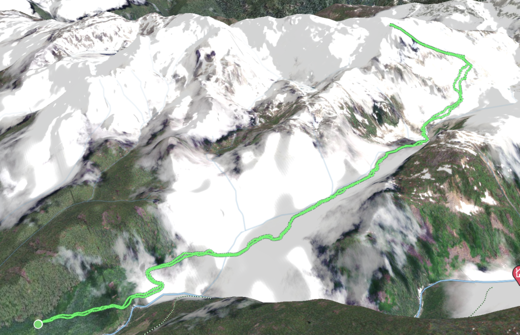
Elevation Gain: 1,102m
Distance: 11.29km
Total Time: 7 hours 21 minutes
Date: October 21st, 2023
Torrent Peak is an unofficially named summit on the eastern outskirts sandwiched between the Pemberton Icefield and the western end of the Rutherford Creek valley. I had never heard of this summit until Maria from SWBC Peak Baggers had blazed a trail to the top last year. Then, earlier this year another group from SWBC Peak Baggers also made there way up and offered some stunning photos of the area. It didn’t seem to get much more traffic beyond that and so when Andrea and I were looking for something in the Pemberton area, I was quick to pitch Torrent Peak. Andrea was keen and the stats looked reasonable considering we’d be meeting Jacob, Trevor and Ashley for another summit on the following day. Based on previous reports we decided to bring some extra gear: namely ice axe, boots and cramp ons as it appeared a bare-ice glacier crossing was required.
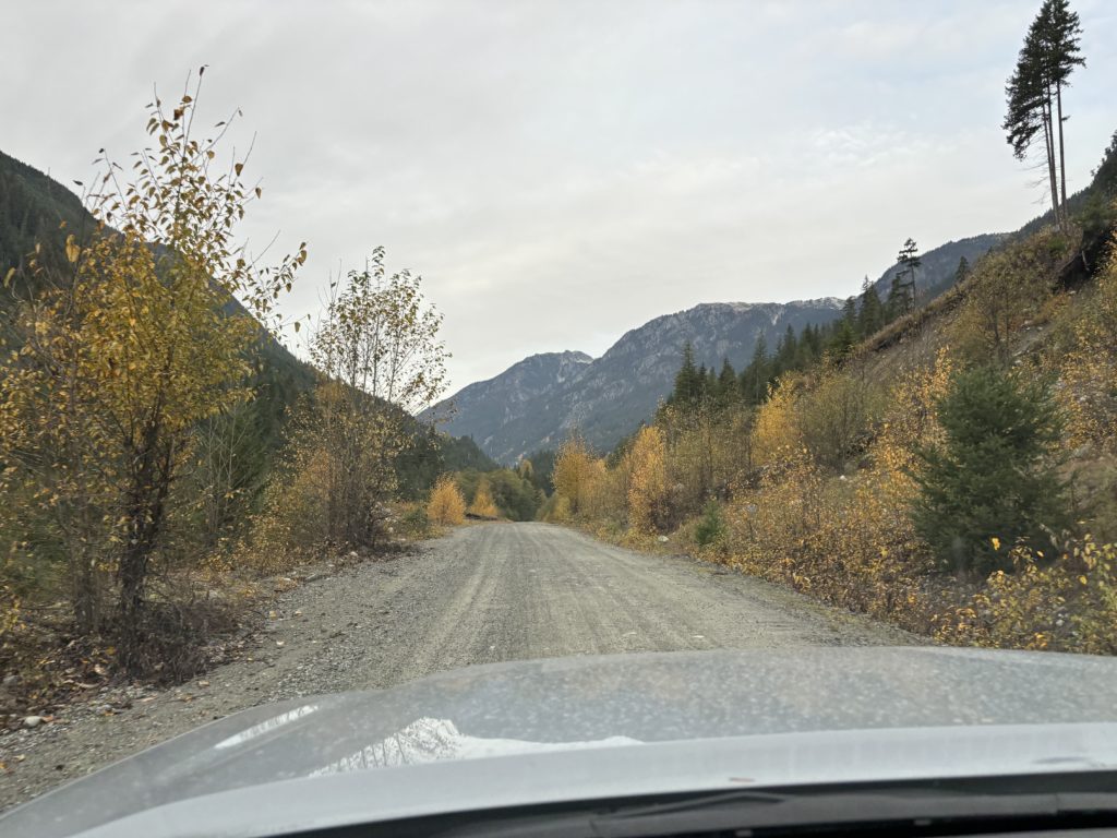
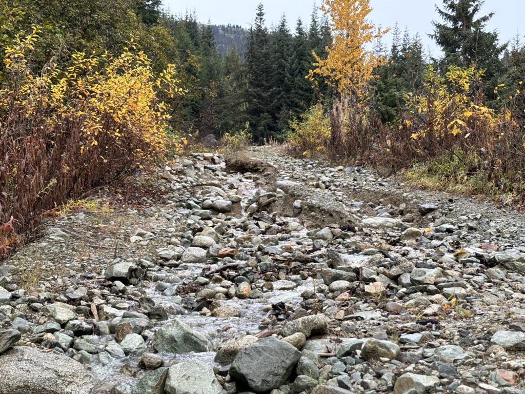
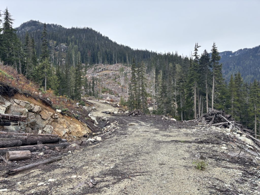
With our plans solidified we set out for Pemberton early on Saturday and ~2 hours later we were driving down Rutherford Creek FSR. A recent atmospheric river had me a bit weary about the state of all the FSRs in the area, but this one proved to be totally unaffected. We drove over the new-ish bridge across Appa Creek at ~16km in and then a few hundred meters later turned up the Rutherford Creek 47-2 Spur. This spur had a large section of washout right at the beginning, but I managed it with a slow crawl. 500m later and we hit a true show stopper washout, so we parked there and headed up the road.
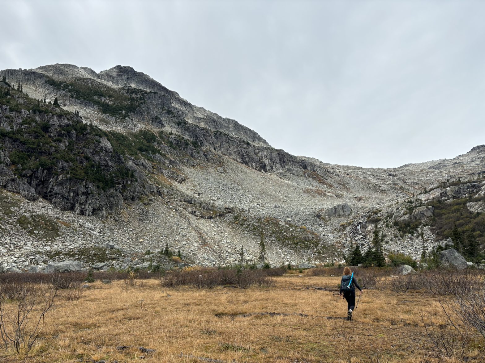
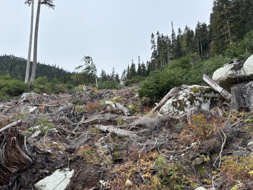
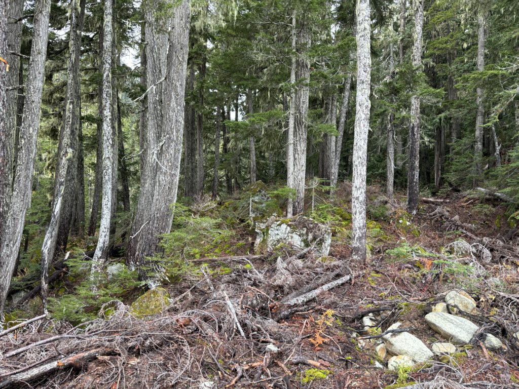
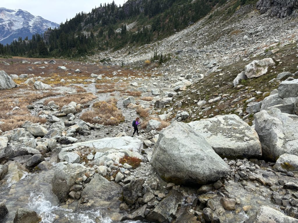
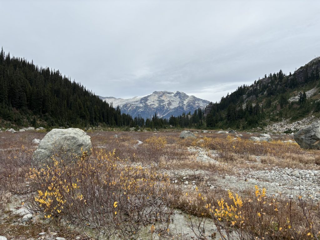
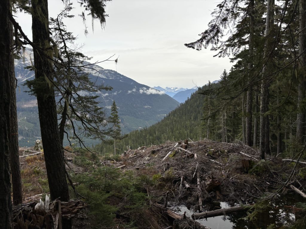
The first 2km was on the service road and then we reached the cutblock that we’d have to cross through. Maria had diligently placed flagging through this area so no route finding was required. Our short stint in the cutblock ended a few hundred meters later and then we meandered through the mossy forest along a tempered creek. We continued following flagging, but had to divert on a few sections were it turned swampy. Somewhere around 1440m we reached a large cirque with crystal clear streams meandering their way across the receded glacier floor.
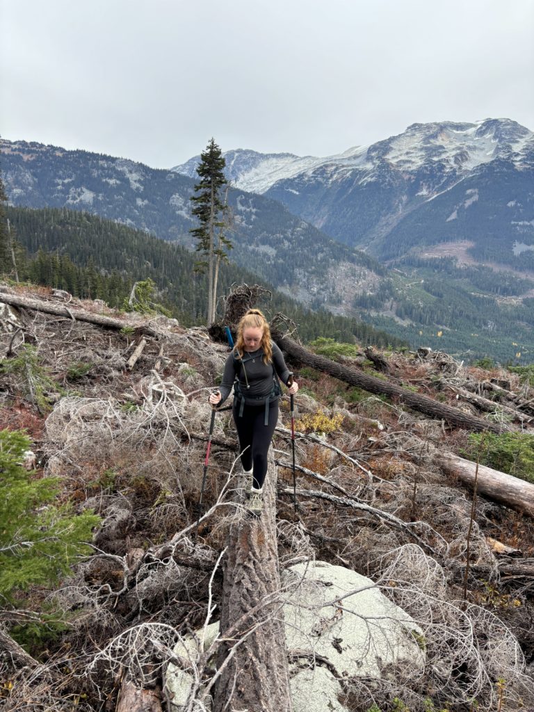
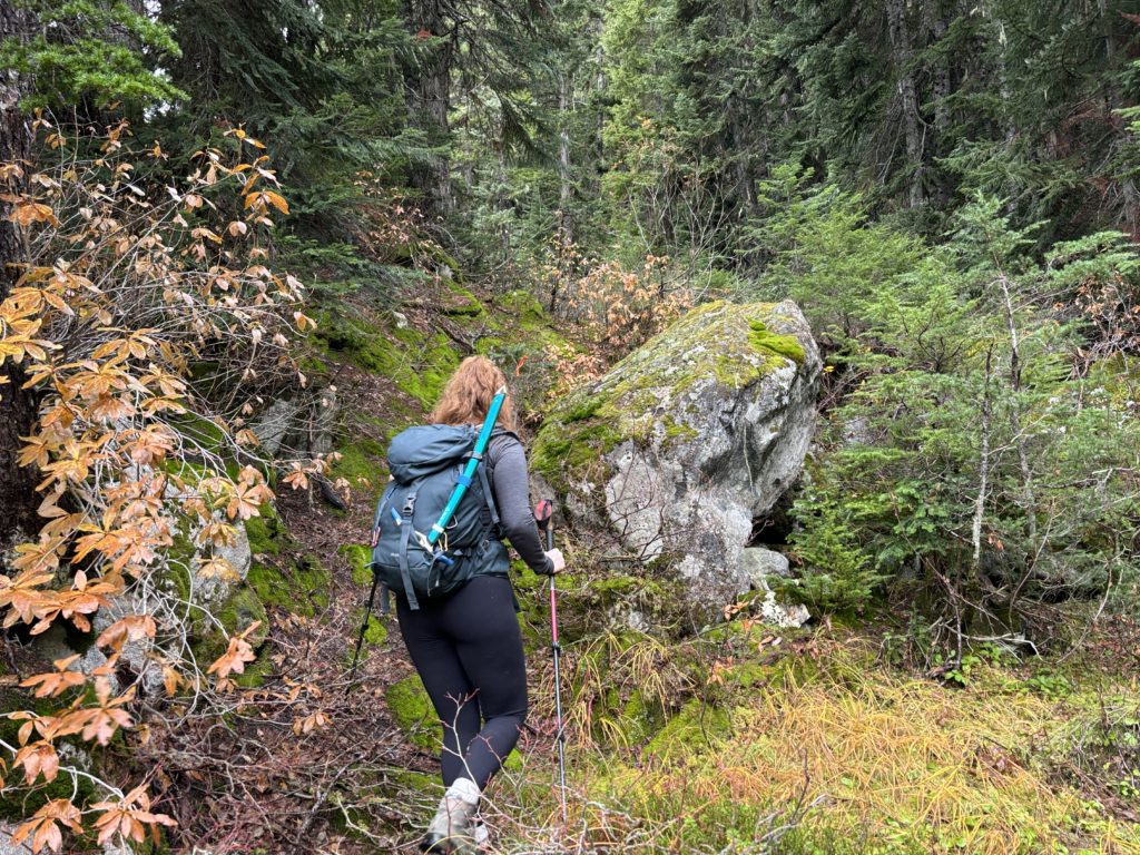
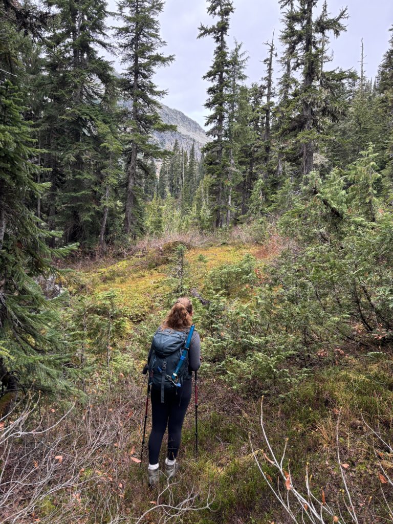
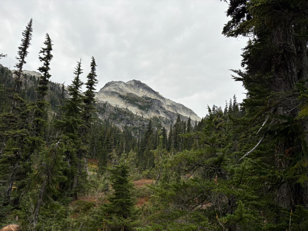
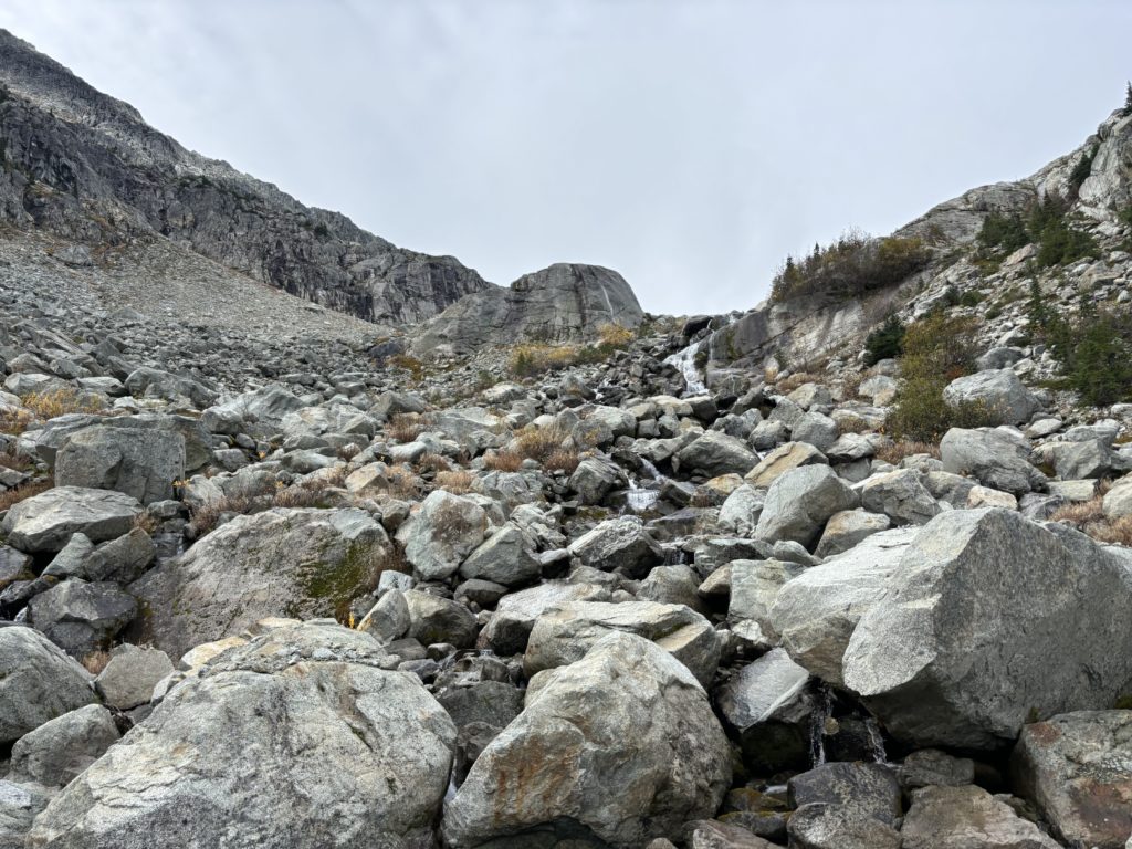
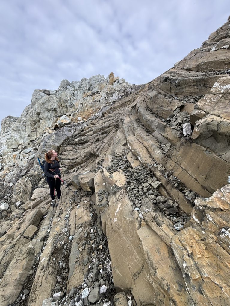
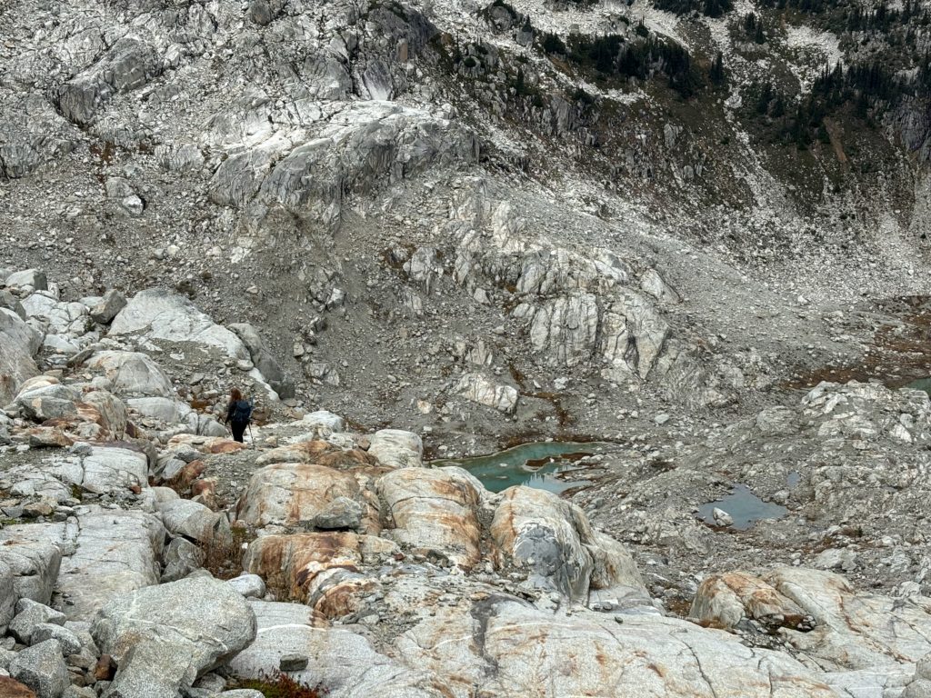
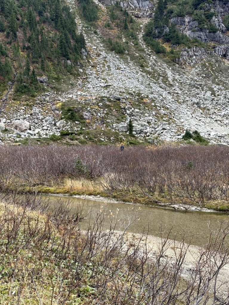
Andrea lead us to a short boulder hop across the first stream and then we followed flagging through a mostly straight path across the large meadow. At the end we started the scramble through the large talus slopes and then up slabs to the west ridge. From the ridge it was pretty clear we wouldn’t need to get on the glacier at all and so opted to scramble the remainder of the route to the final section below the summit.
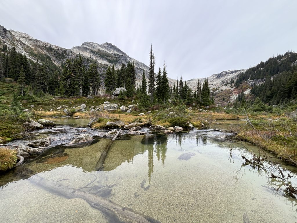
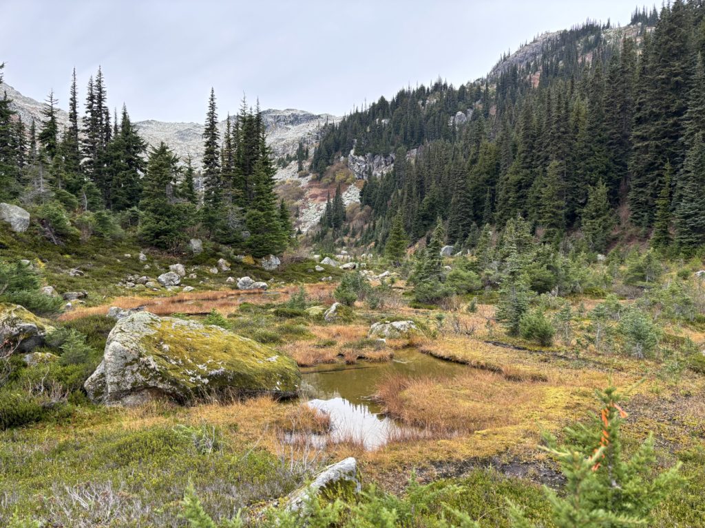
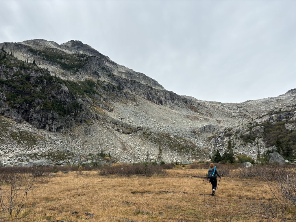
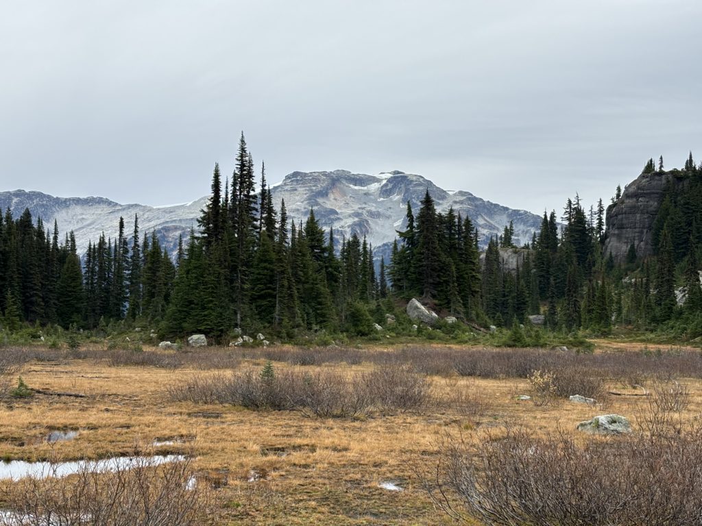
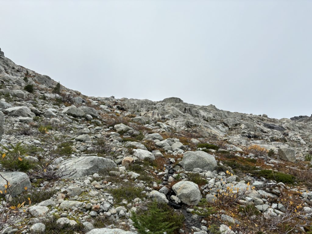
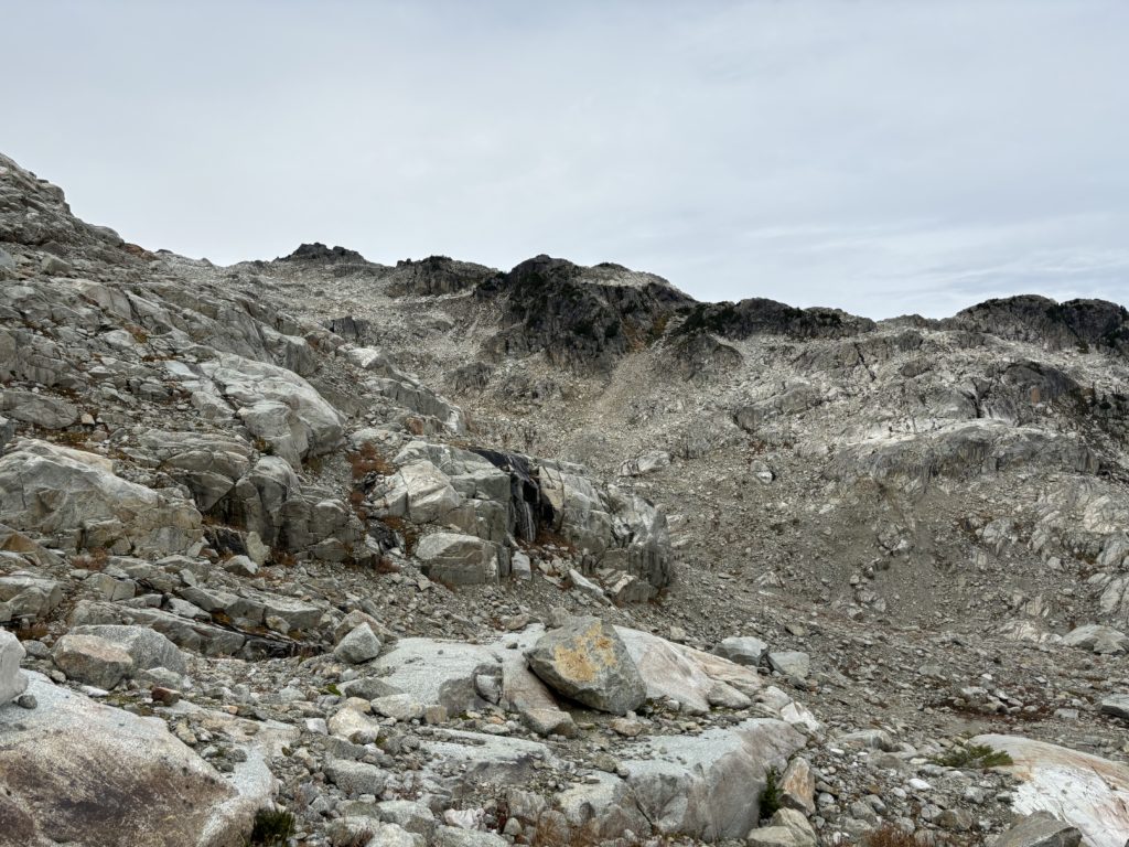
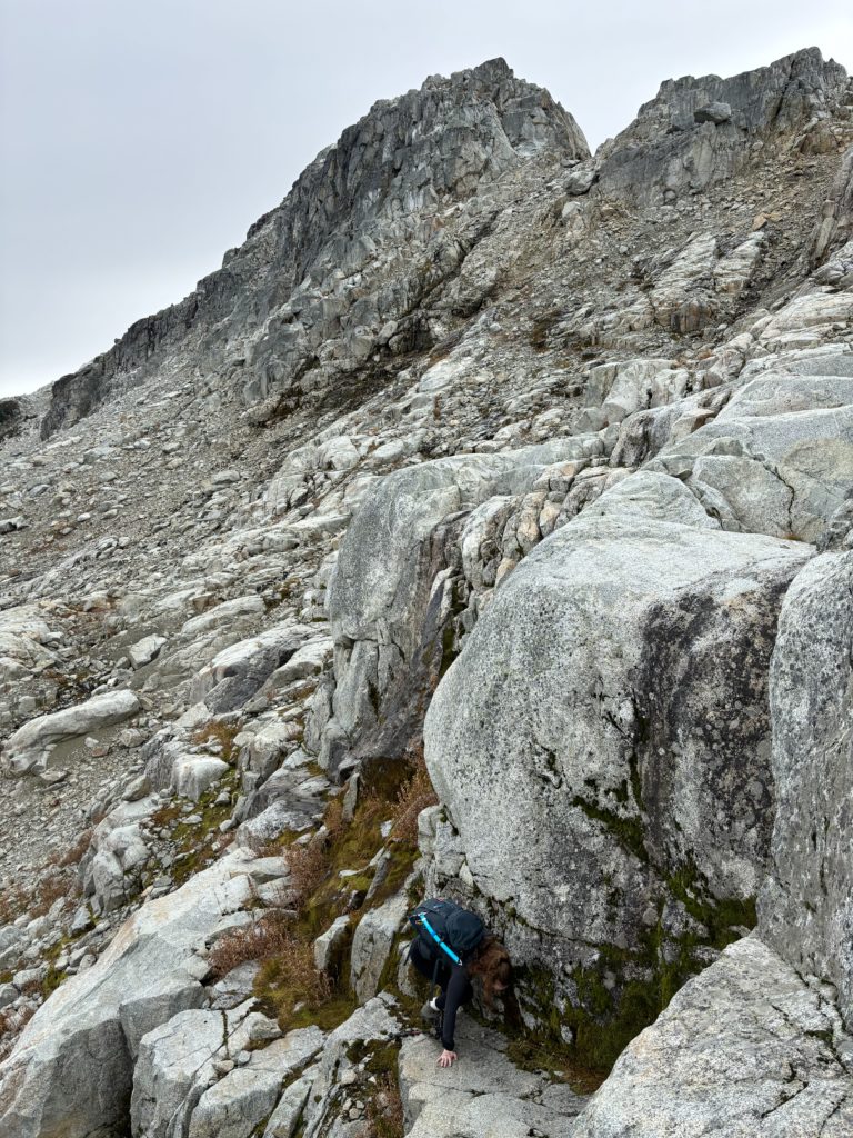
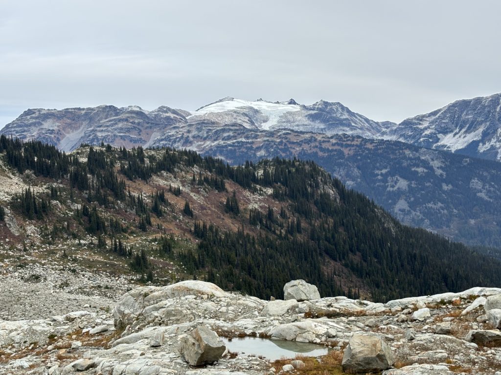
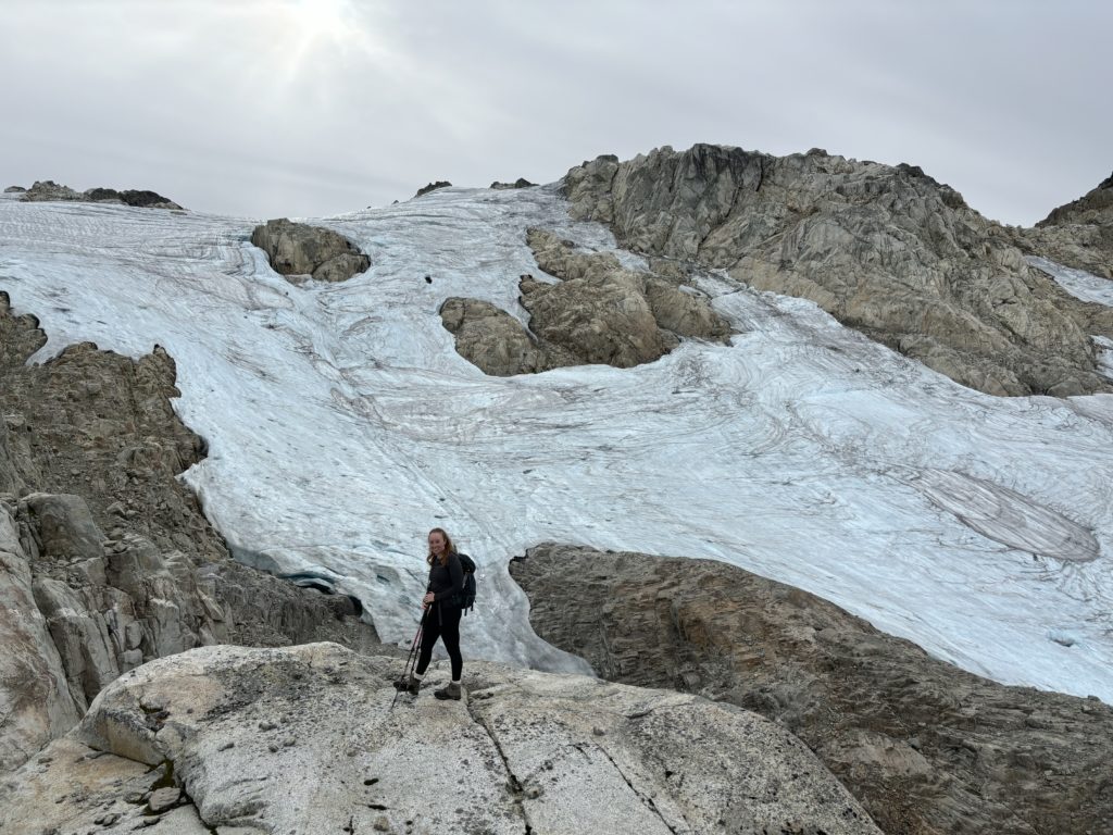
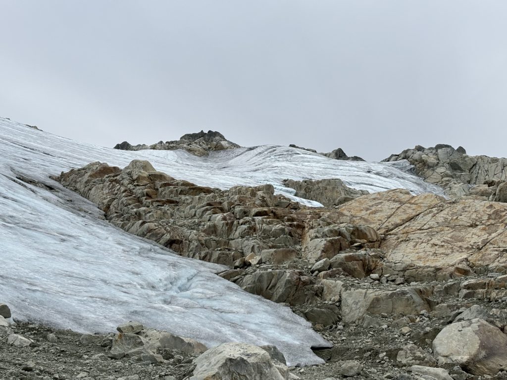
Here, surprisingly, the north face was adorned in a carpet of heather and pockets of krummholtz making for an unexpectedly lush scene. Andrea found an easy route through the least steep section of heather and then we scrambled a short ways to the large blocky summit boulder. I found a fun route up and joined Andrea from the other side where we could take a long pause to surrender to the vista. To the West was the long moderate rise of the Appa Glacier running all the way to the horizon. There were no shortage of skiiable looking summits around us and I was quick to start thinking of winter time ascents.
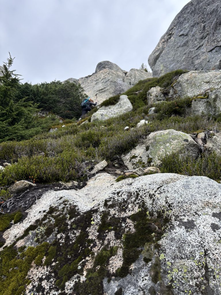
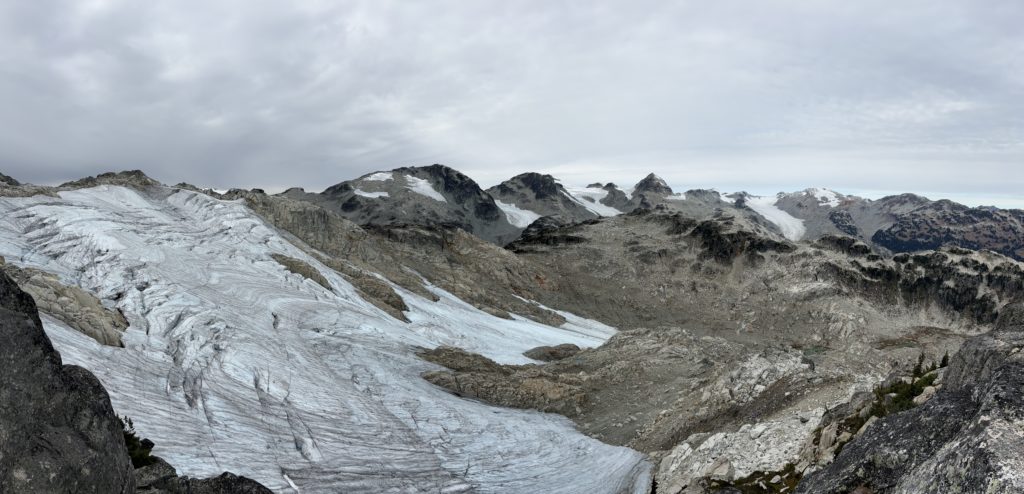
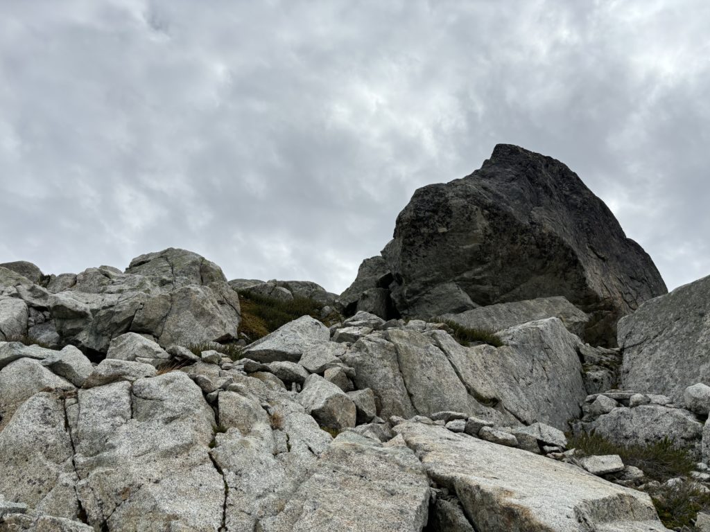
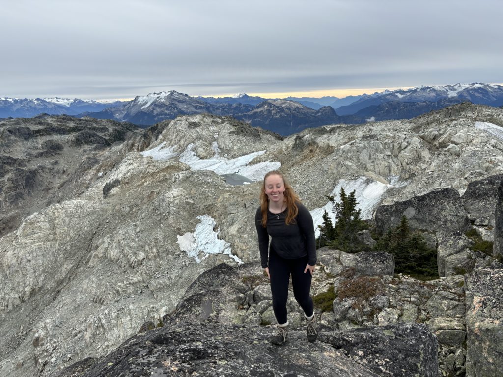
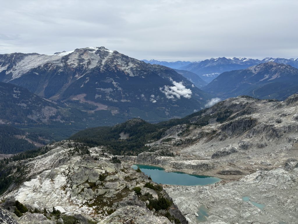
Somewhere around 2PM we made our way off the summit. We took a slightly different descent route, sticking further skiers right for a more direct line off the ridge. Then we more or less stuck to our route through the talus back to the base of the cirque. From there it was an easy and fast return to the cutblock and road walk.
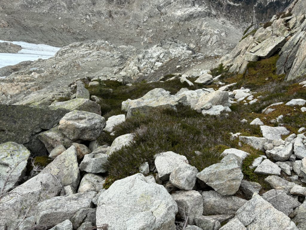
This is a seriously full value summit and not on most people’s radar. Easy access, a short forest walk to the alpine and full glacier views are all you need to know!
