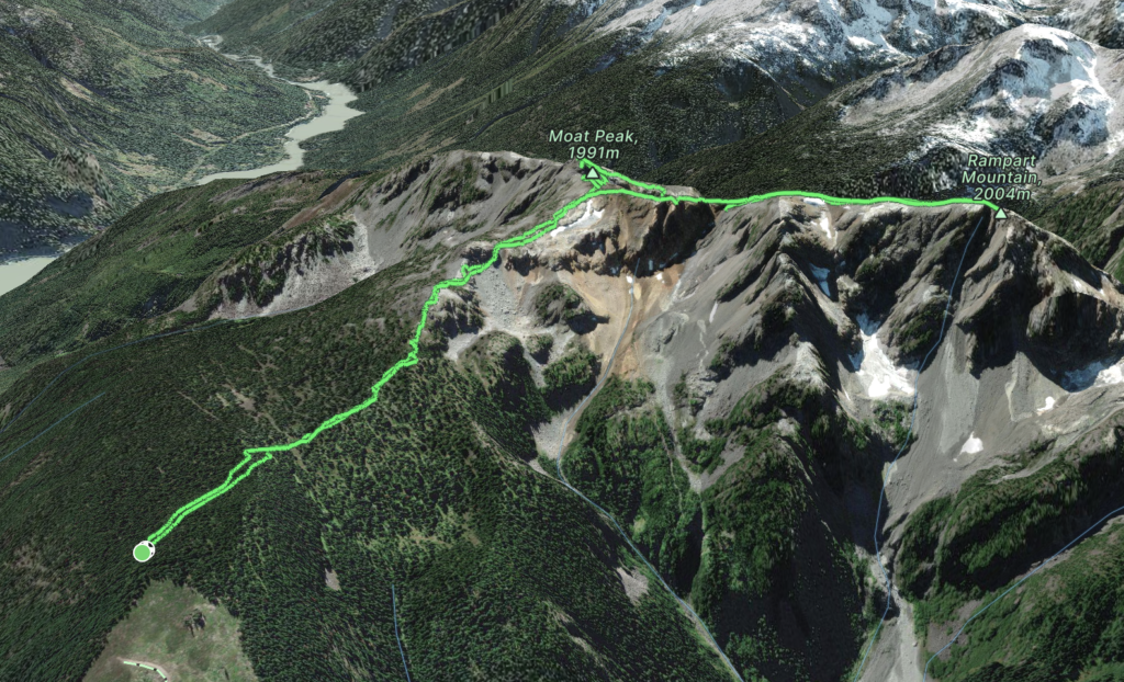
Elevation Gain: 833m
Distance: 8.61km
Total Time: 6 hours 11 minutes
Date: July 3rd, 2023
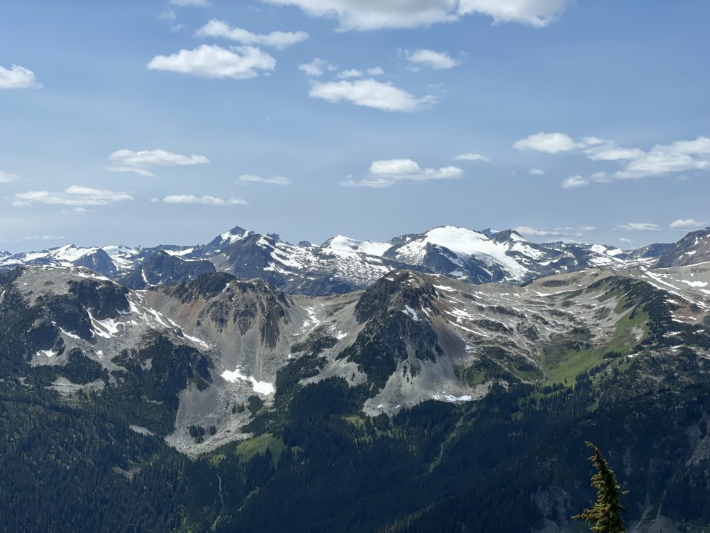
After recovering for a few days from COVID, I was starting to feel better and wanted to get one more day out of the long weekend. The weather was too nice to not take advantage of and so Andrea reached out to Jacob and Ashley (our original group for a big alpine traverse this weekend) to see if they’d be interested in joining us for a small excursion. I had my eyes on a small range east of Pemberton called the Bastion Range. The range is comprised of three officially named summits: Moat Peak, Rampart Mountain and Bastion Peak. They had appeared many times on my map when browsing around lesser travelled areas and I figured we could combine them in a one day ridge line traverse. But the big question was about the access.
There was one trip report from 2008 and no other information online. I found out there’s a road called the Green River FSR that runs up to around 1500m in elevation and based on satellite imagery it looked like a new cut block had been started even higher up. I neglected to check how recent in the last 6 years and that would come back to bite me later. Either way, it meant the road should in theory be in and so I figured we could gamble on it and retreat to an easy summit like Sootip if it didn’t work out.
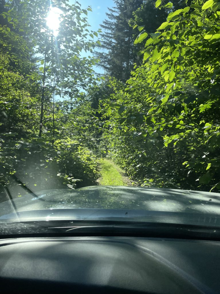
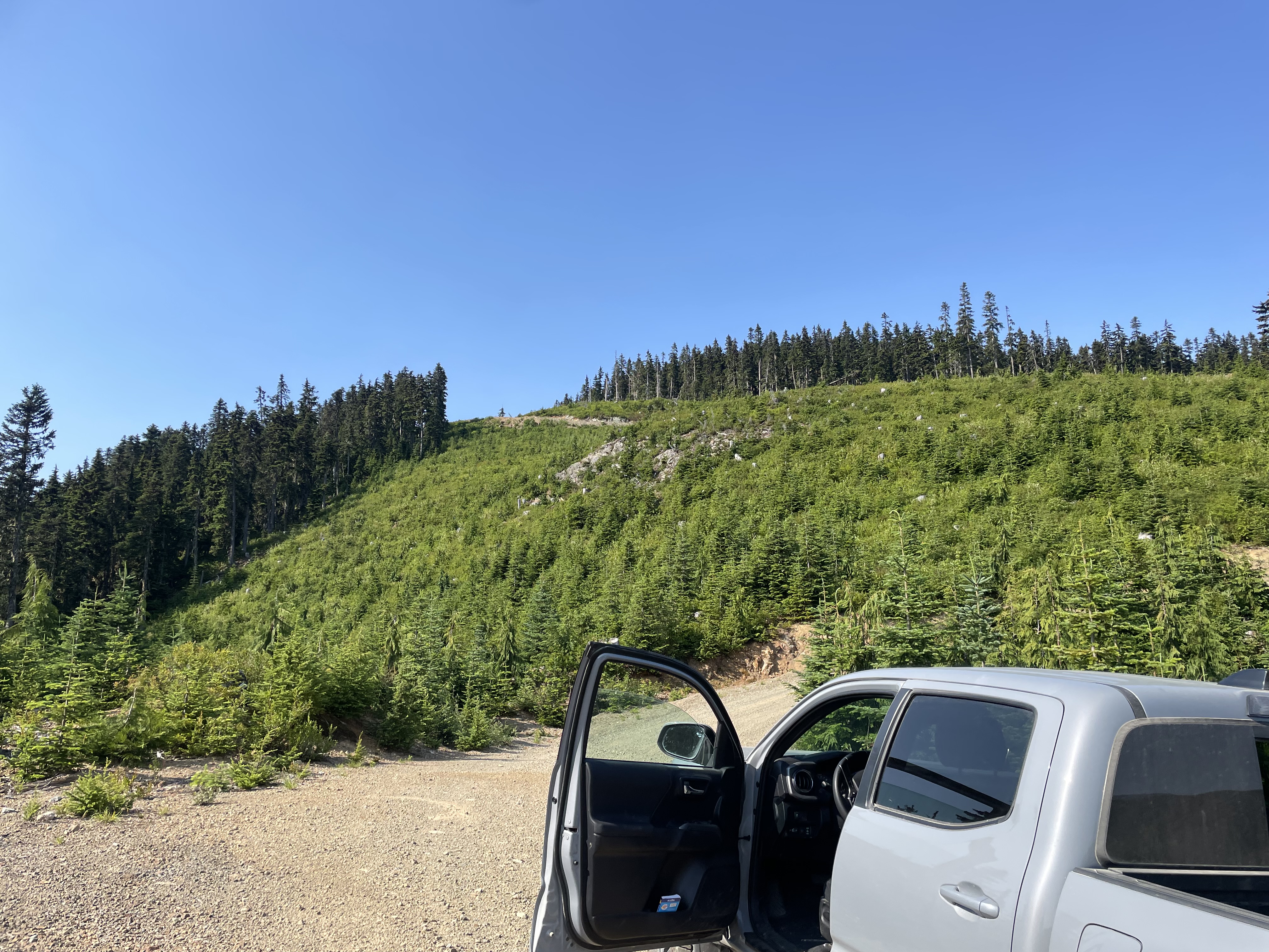
I drove us out on Monday morning arriving in Pemberton some time around 8am. We found the turn off for the Green River FSR and started the long river-side drive around the north side of the Bastion Range. As we drove further in, the road progressively grew greener and more over grown. It was starting to look like the road hadn’t seen any significant use in quite some time. At around 18km we hit a washed out culvert section. Thankfully there was a bypass for 4×4 vehicles and we made it around without a problem. After this point the road produced several long sections of jungle driving with only a narrow portion of the road bed visible.
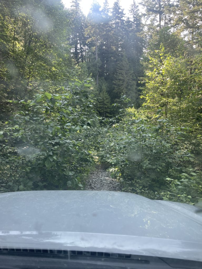
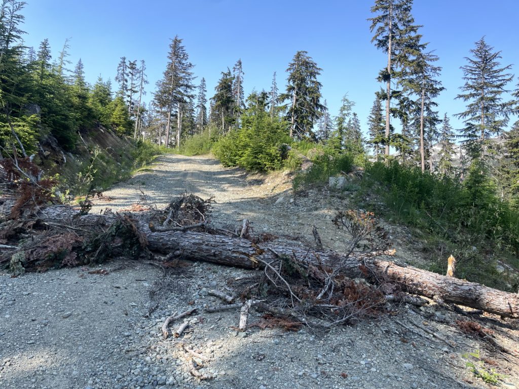
The road continued to be in driveable condition despite being overgrown and we slowly climbed higher and eventually out of the jungle part altogether. Higher up the road was in good condition with only a few rough sections and one major deadfall with another bypass. As a result, we were able to drive all the way up to the new cut block at 1560m.
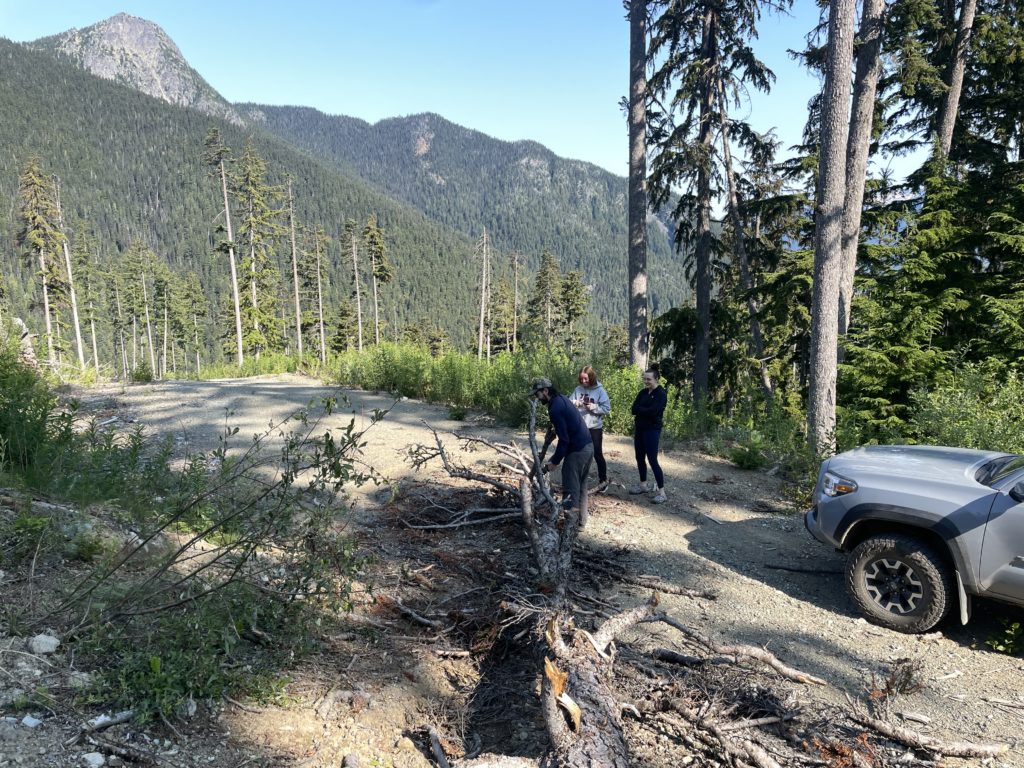
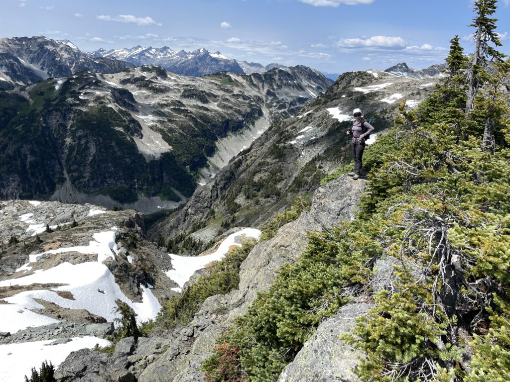
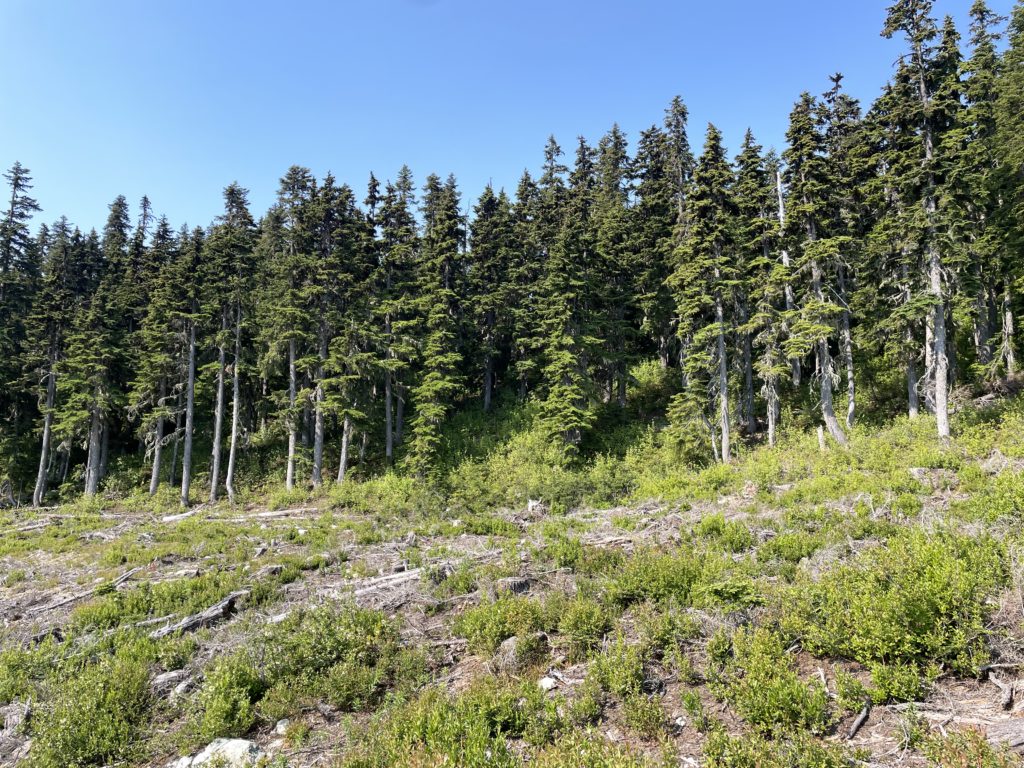
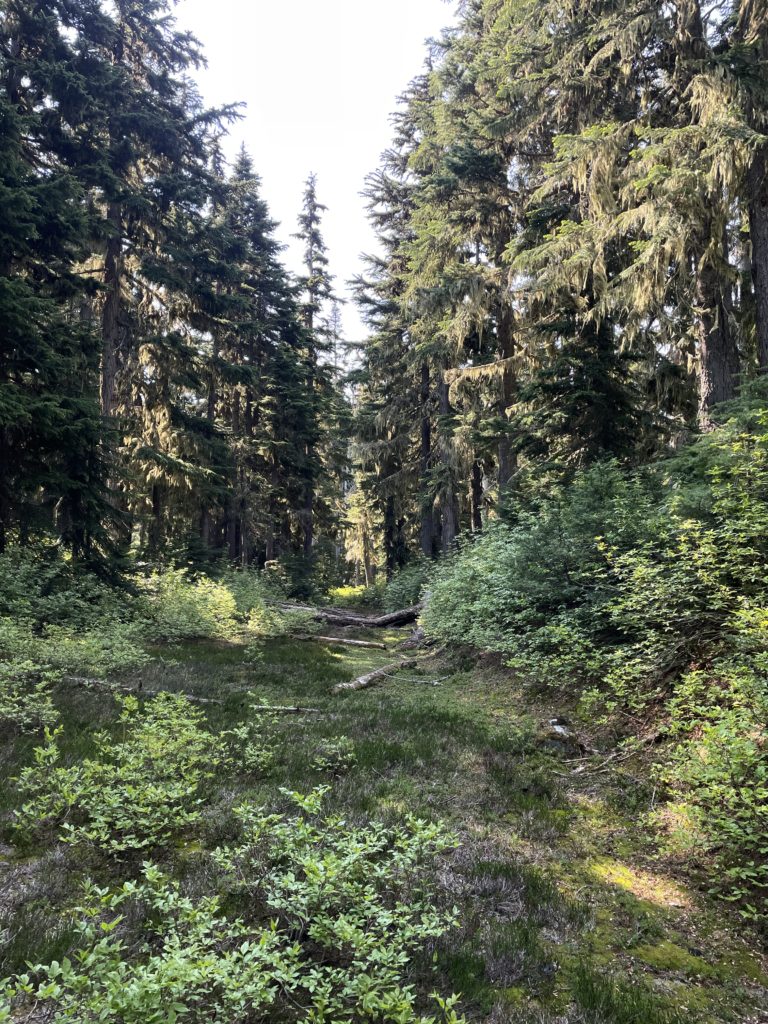
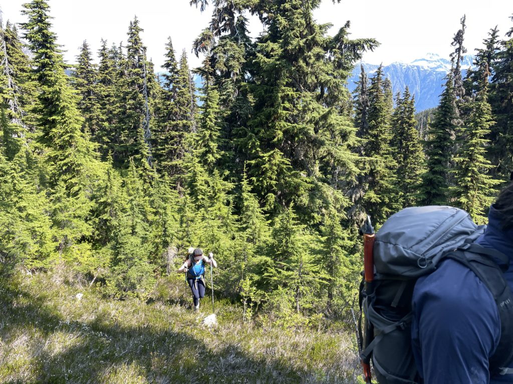
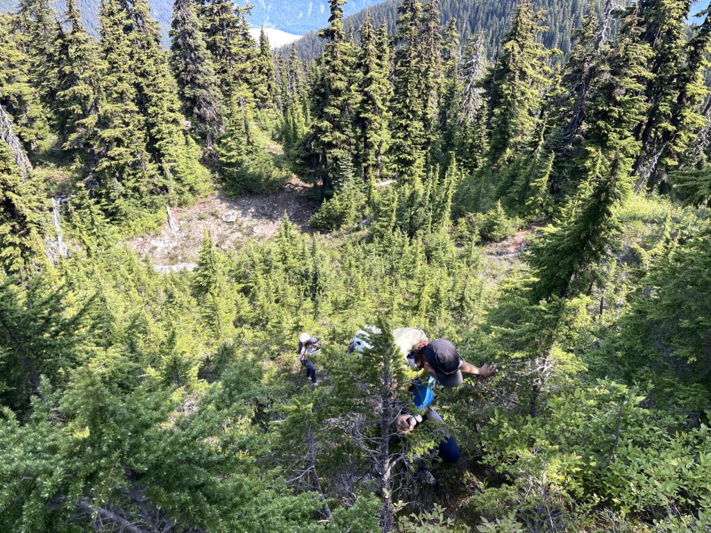
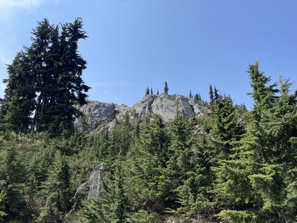
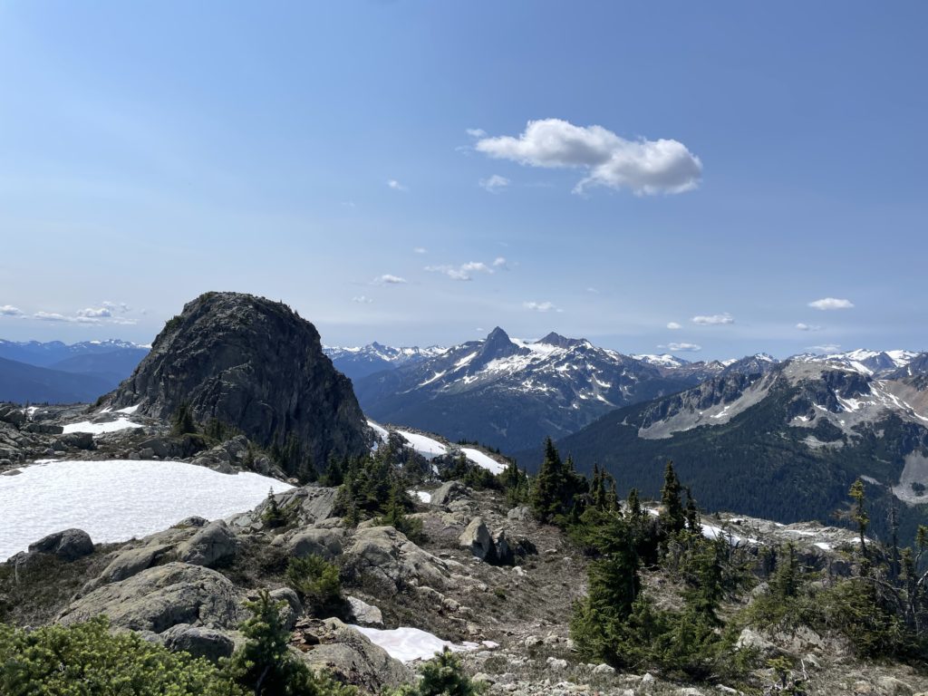
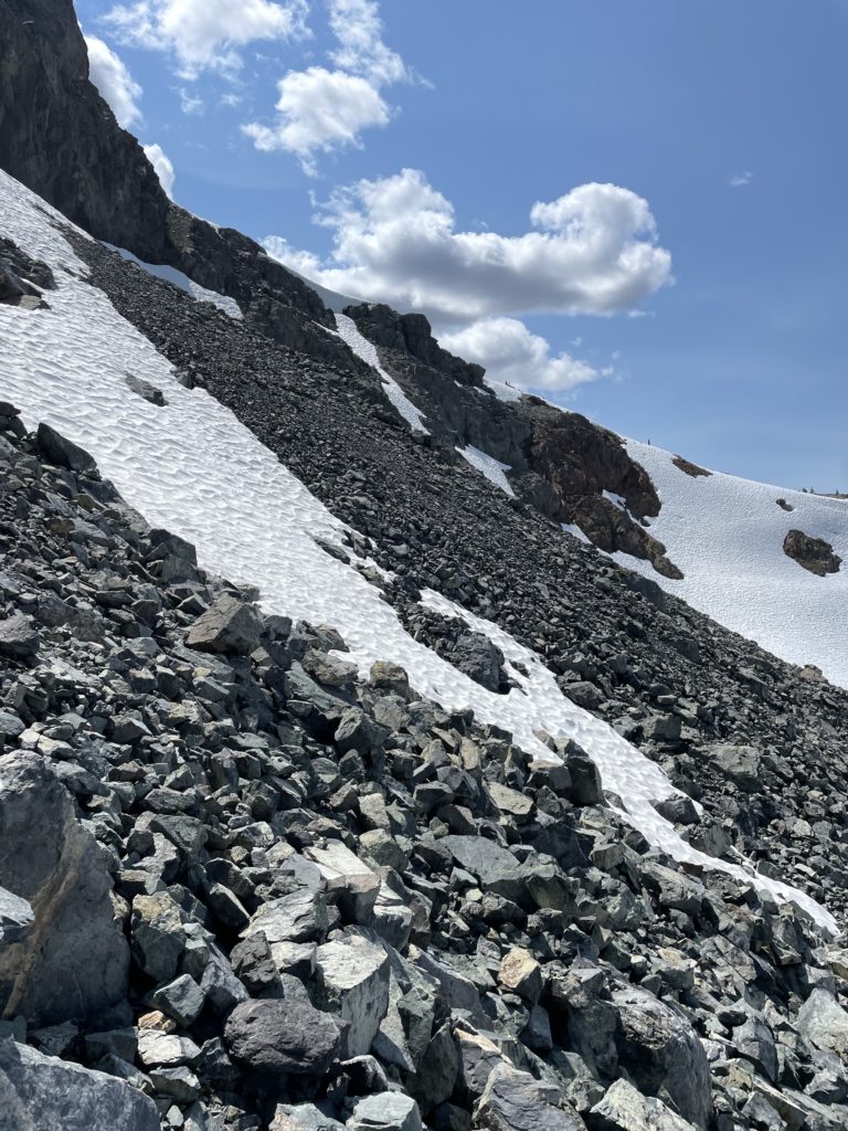
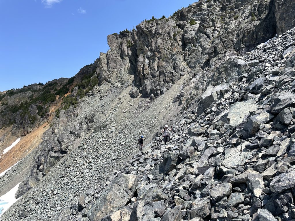
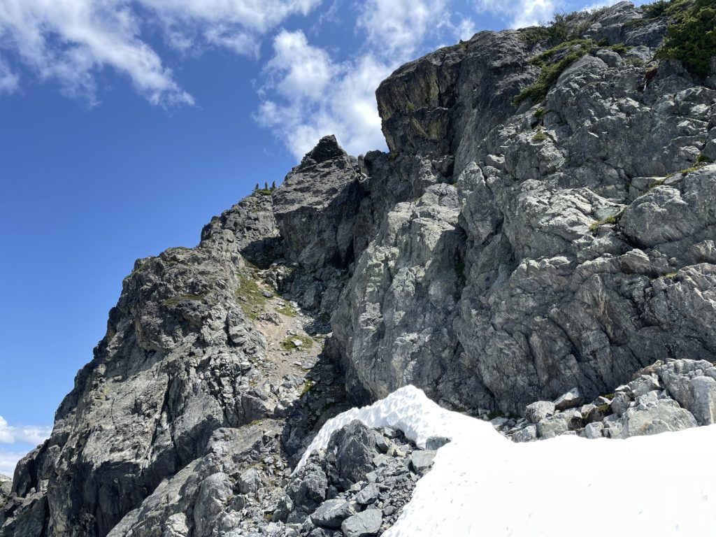
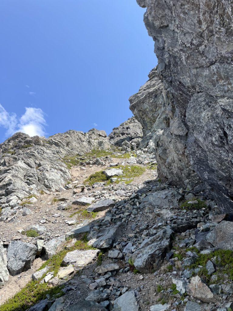
From there we made a short walk through the cut block and then into fairly open forest. The terrain was straightforward and we followed the natural ridge line until the forest gave way to open alpine terrain. Along the ridge a prominent gendarme blocked straight forward access. We had to drop climbers right and side hill on some scree slopes before regaining the ridge proper.
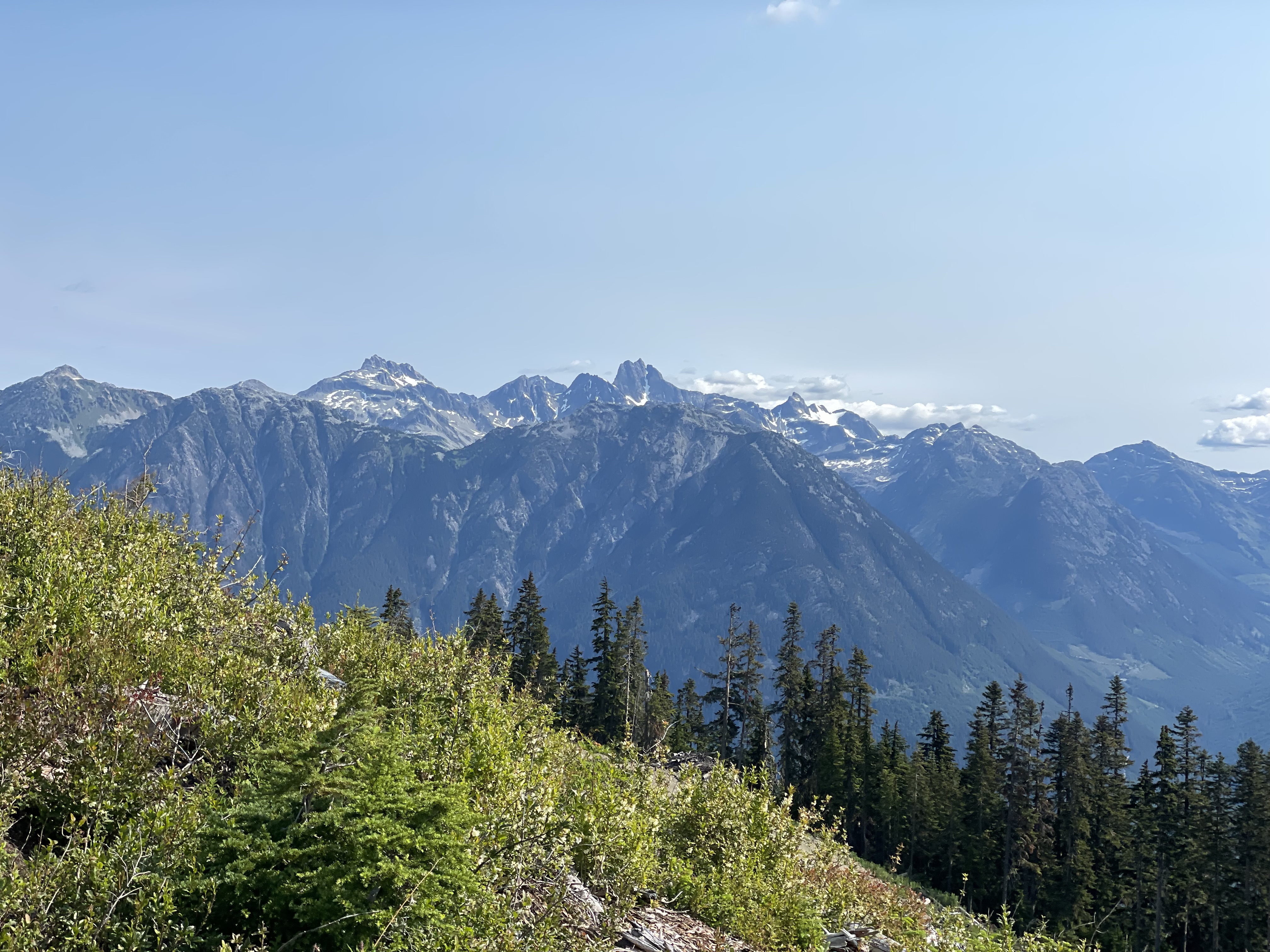
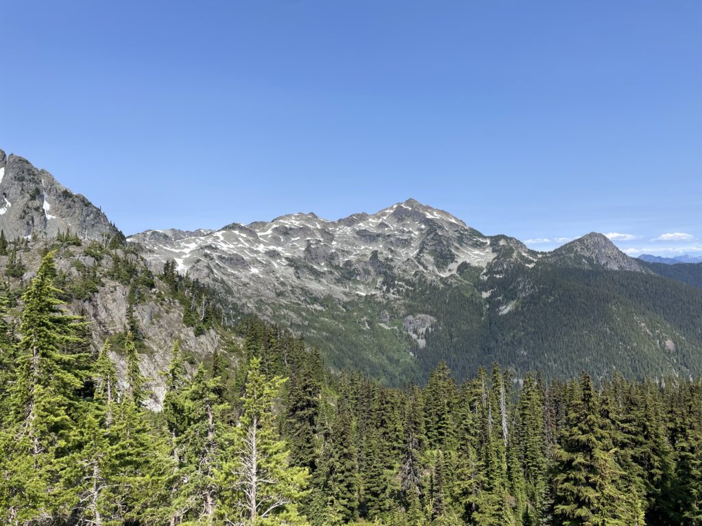
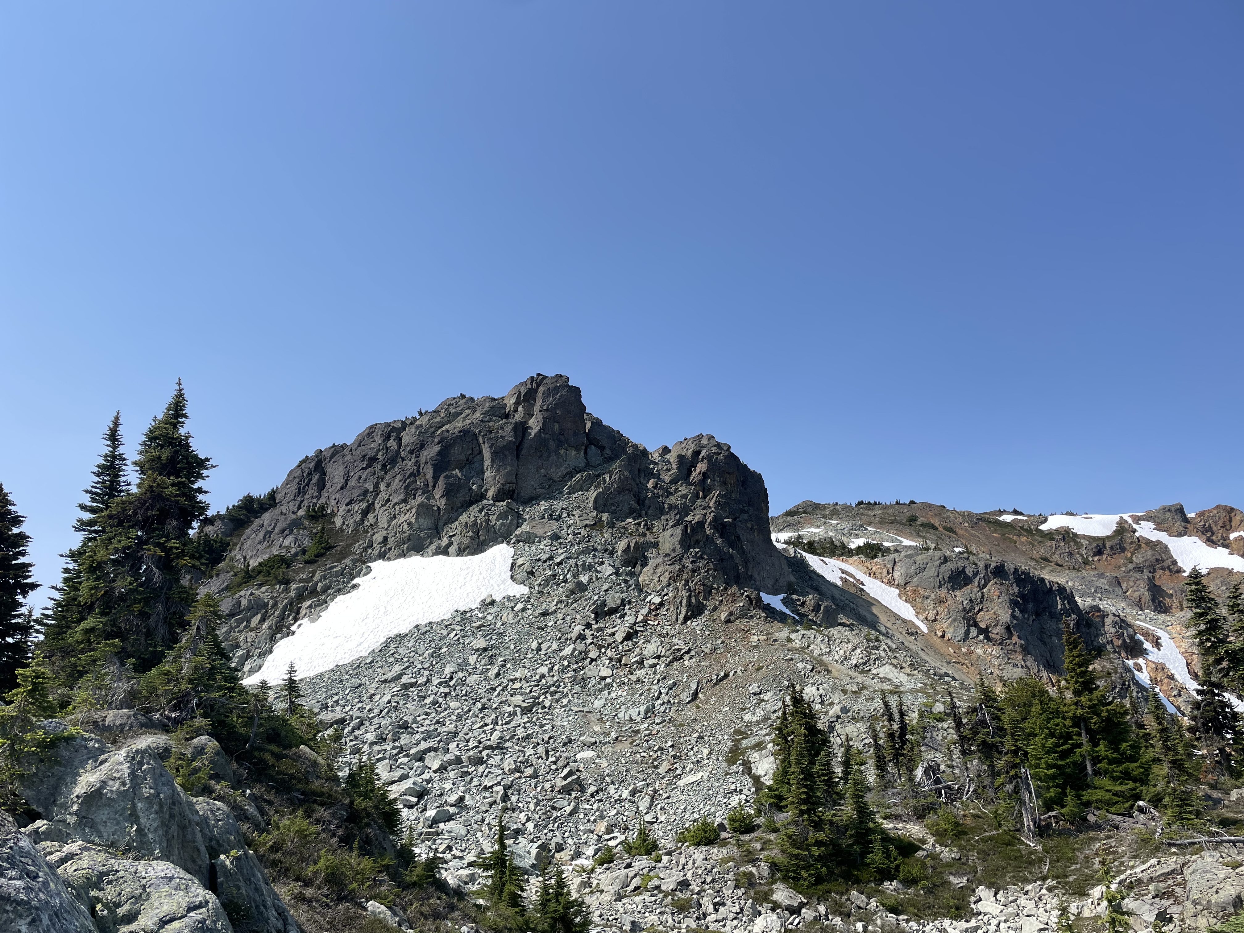
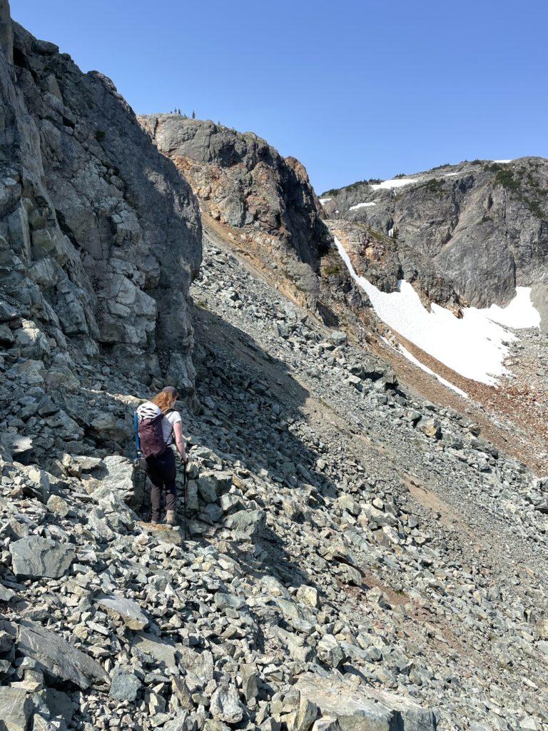
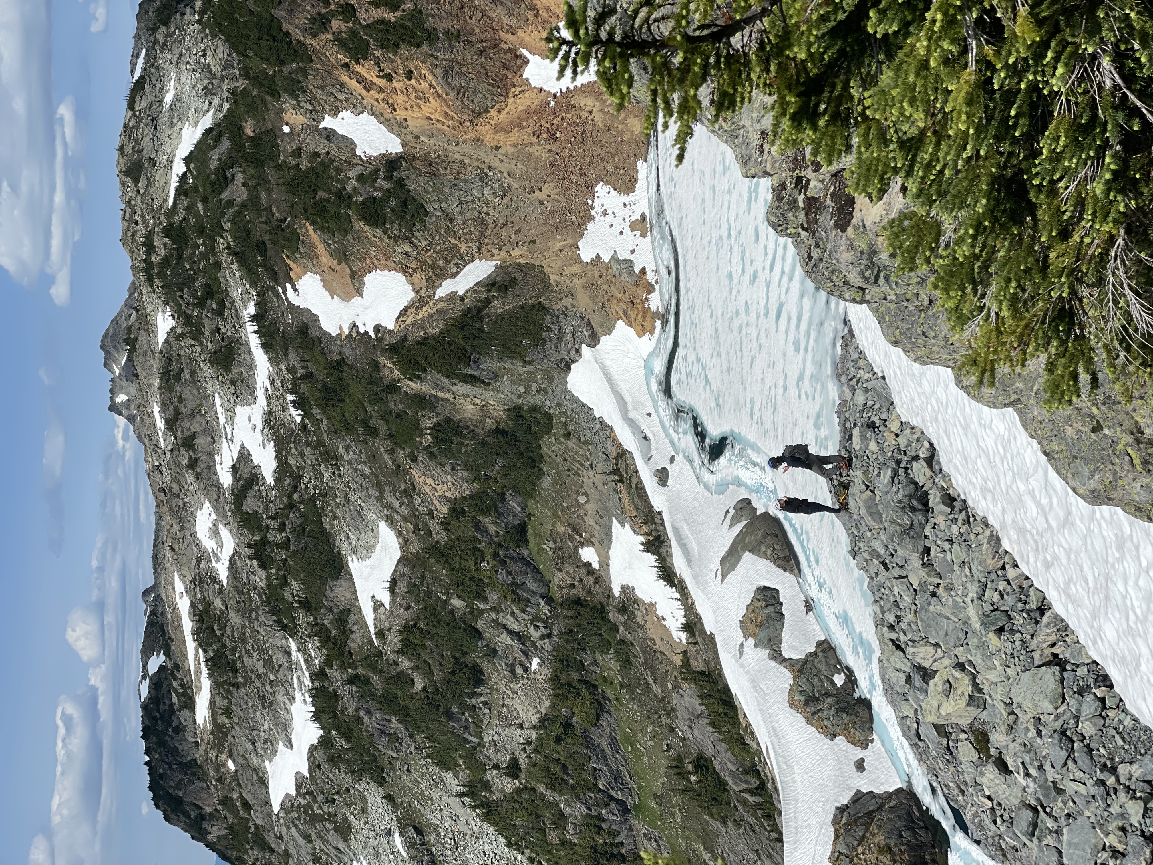
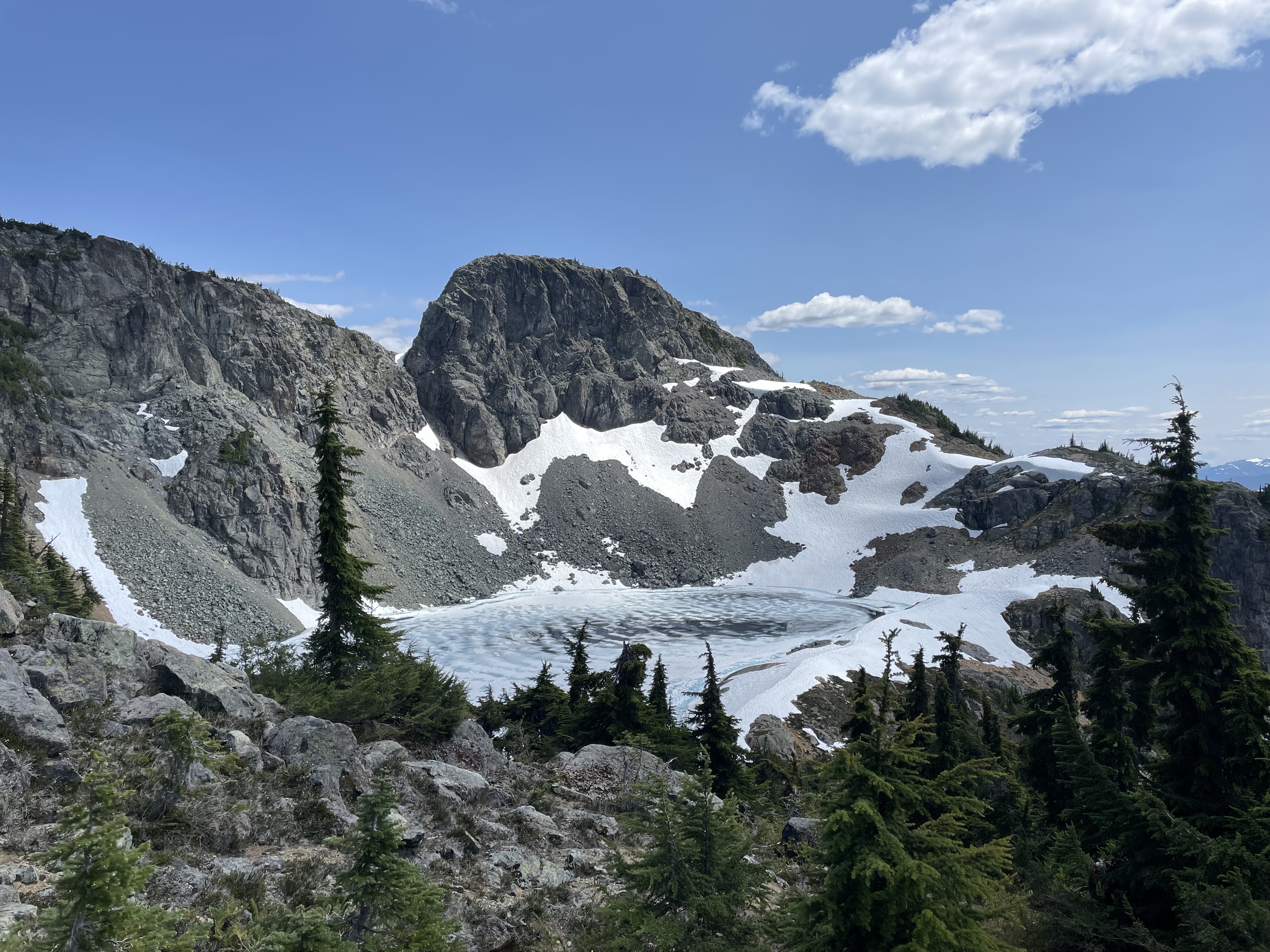
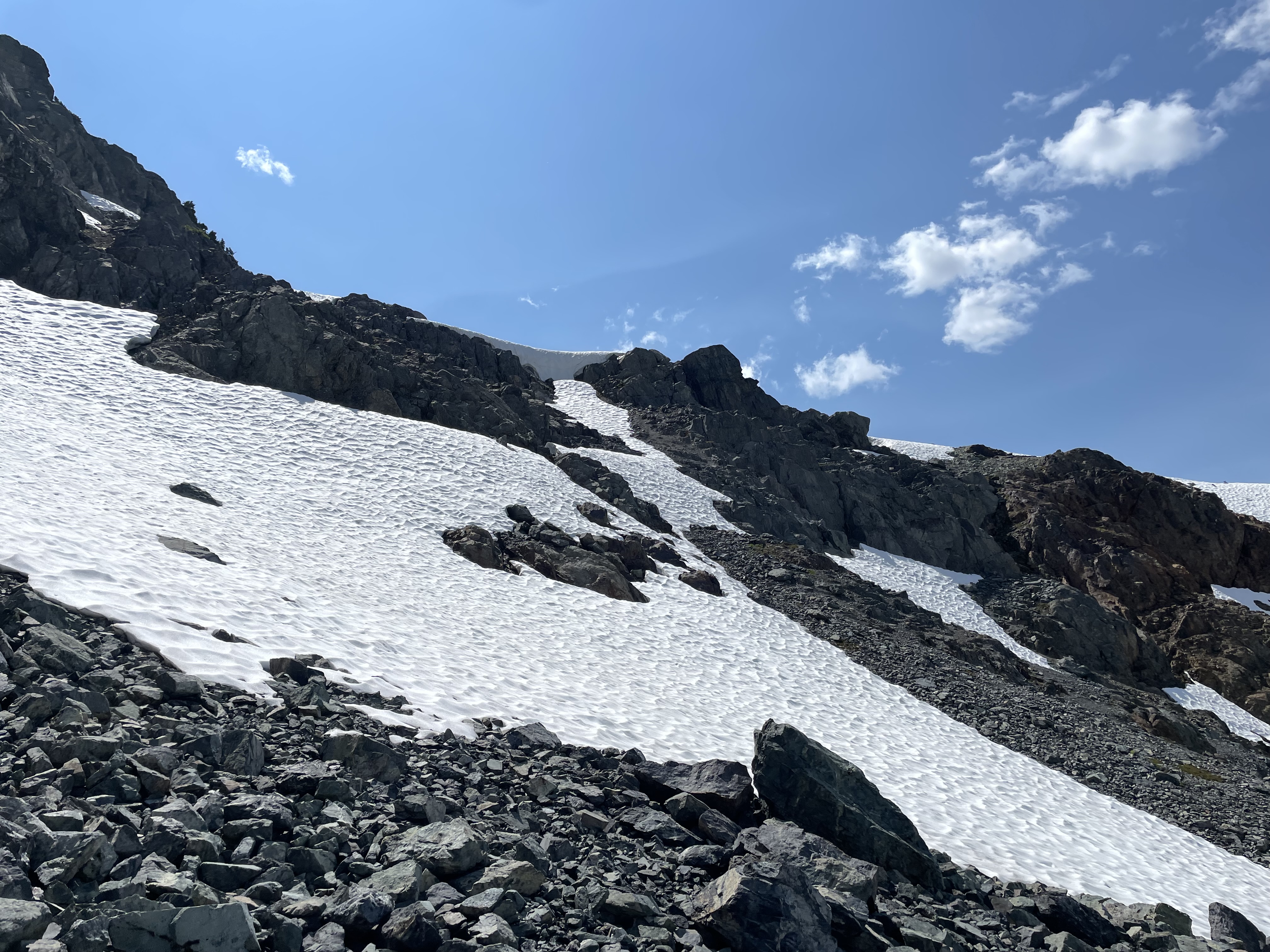
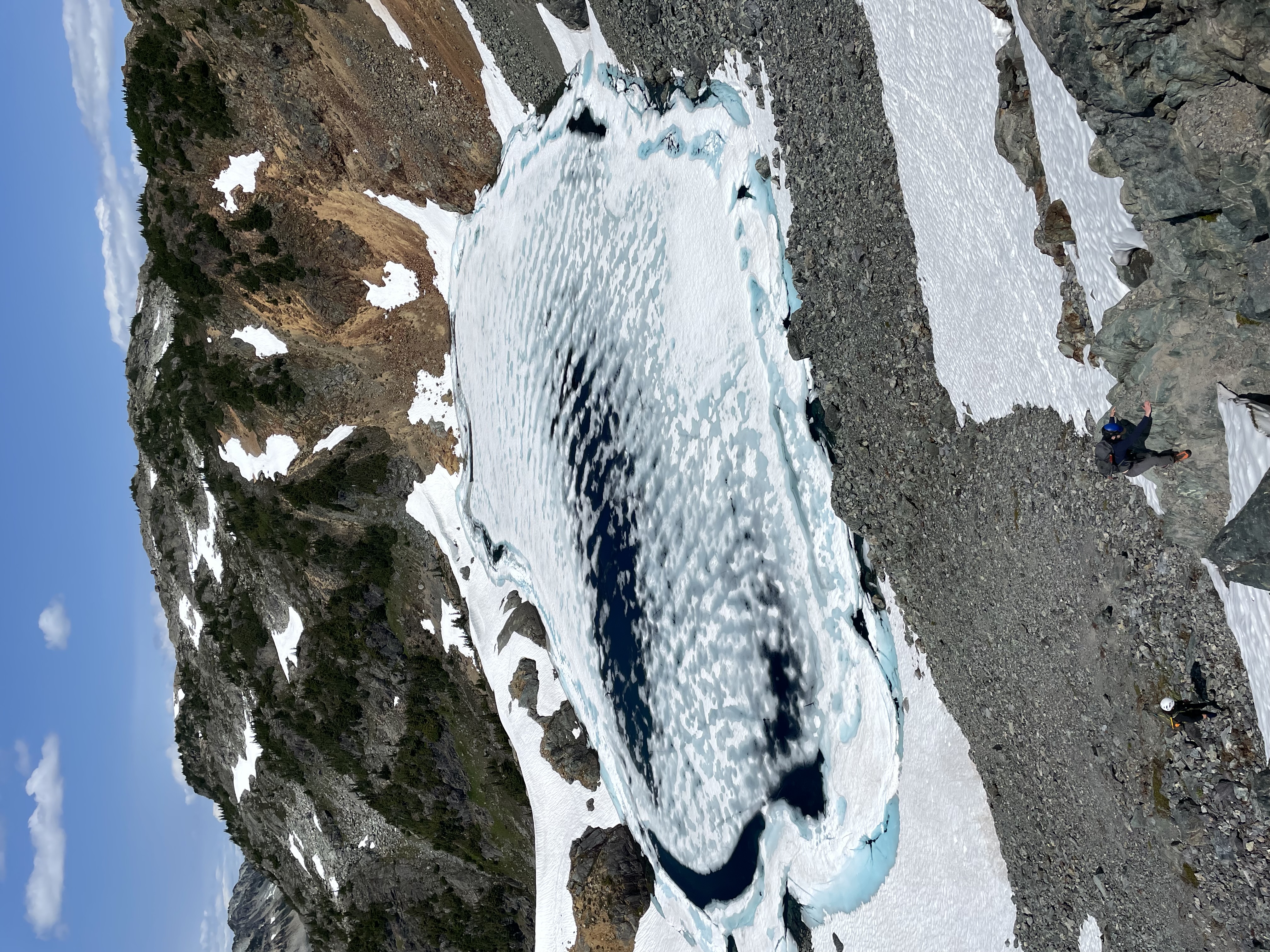
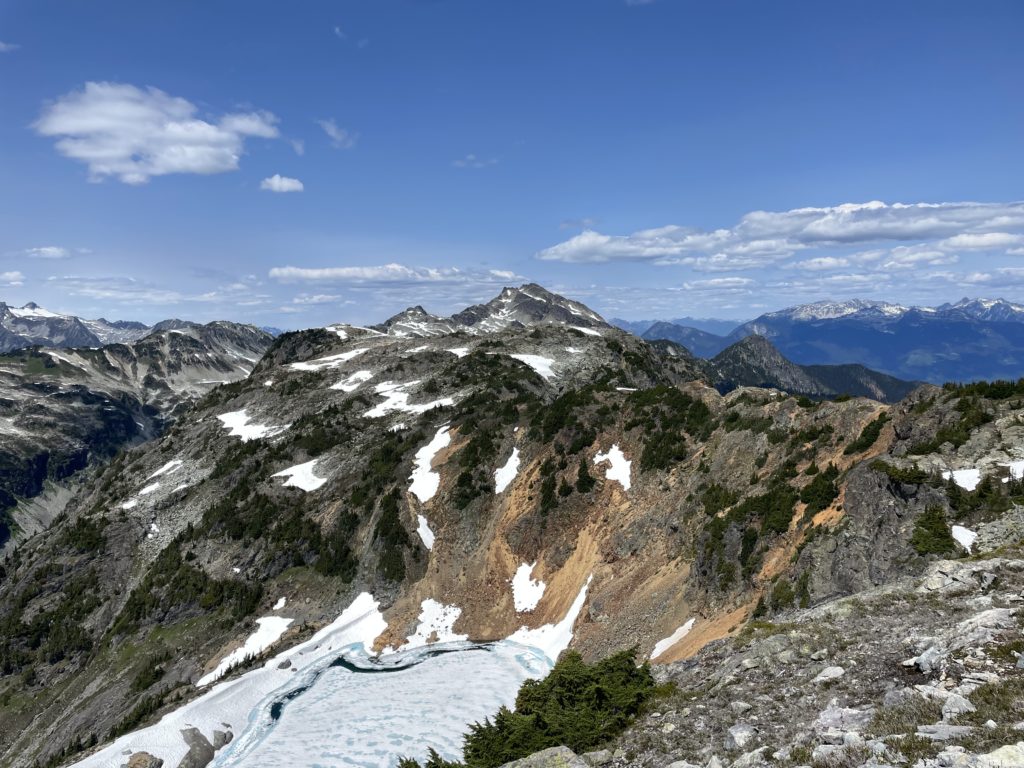
We then hiked up to the top of the ridge above Moat Lake and decided to go for Moat Peak first. From the ridge we headed directly towards Moat Peak and located a series of scree ramps down to the lake. There was quite a bit of rockfall to contend with so we stuck close and took it slow.
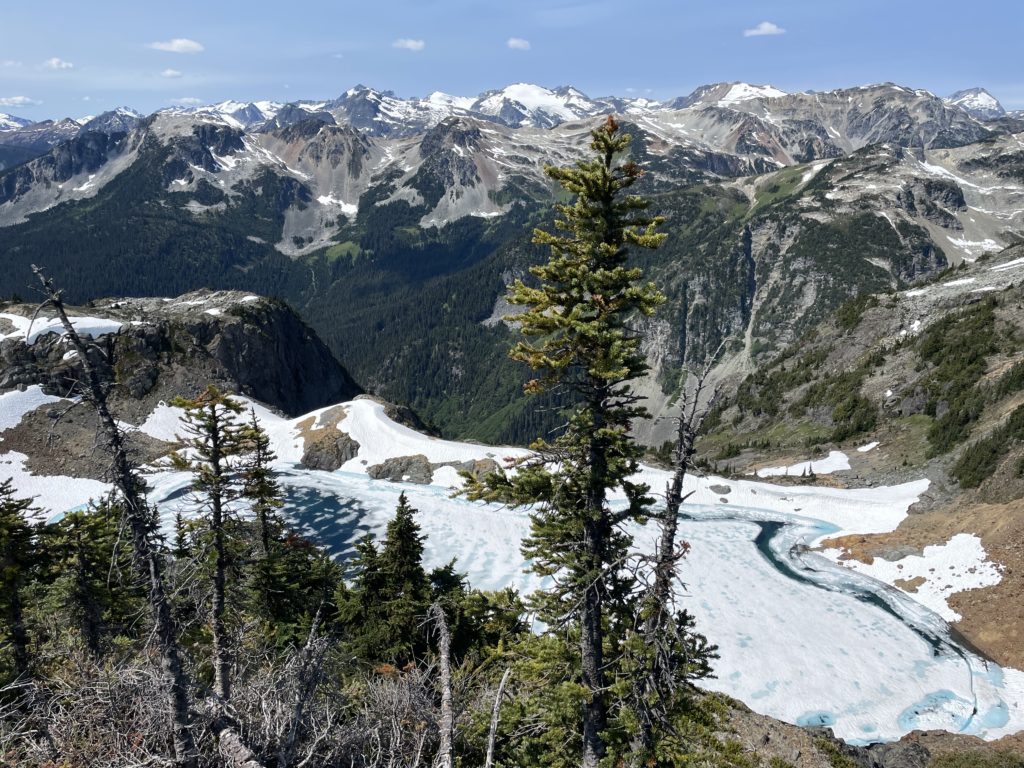
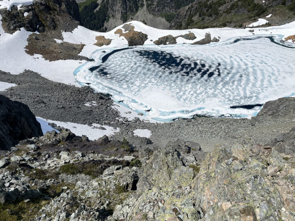
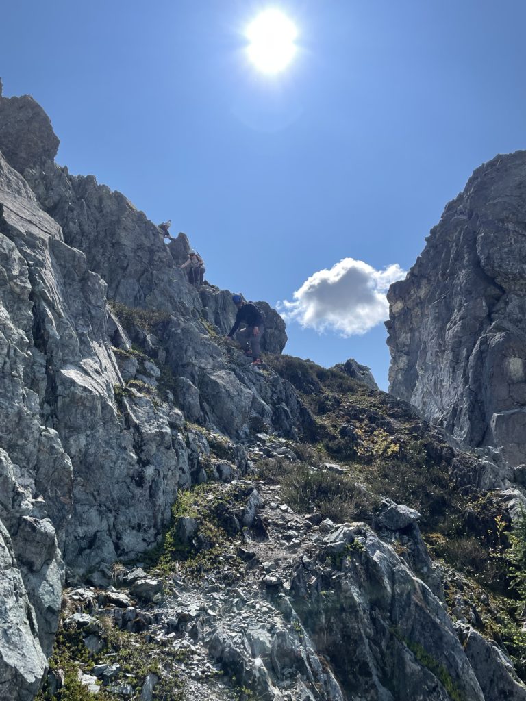
At the lake we traversed south on more scree slopes and then regained the ridge on the south side of Moat Peak. Then it was an easy and short class 2 scramble up to the summit. Ashley waited for us at the base and once Andrea and I finished a quick snack we joined Jacob on the scramble back down.
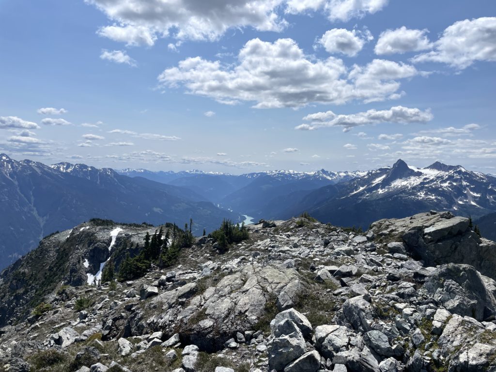
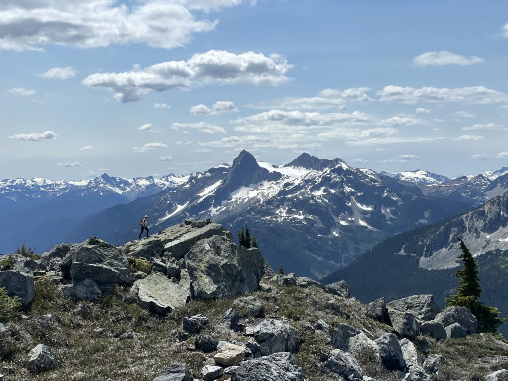
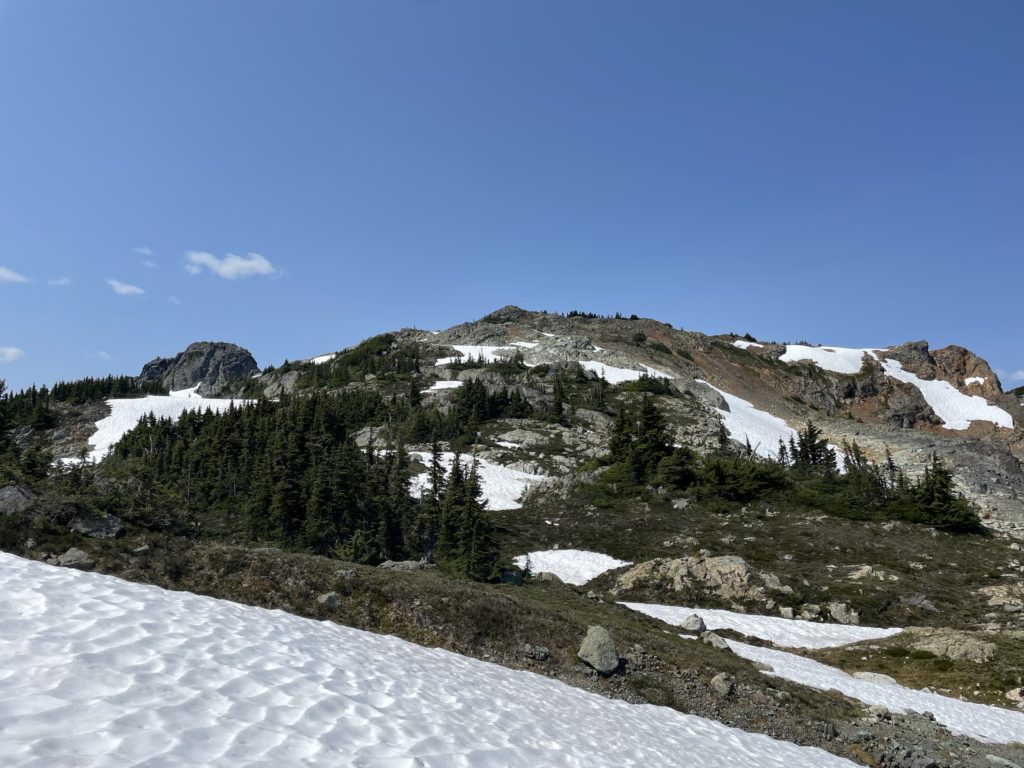
The day was getting on at this point and it seemed very unlikely we’d get to Bastion Peak as the rest of the group was feeling low on energy. So I scaled back the plans and decided to just go for Rampart Mountain instead. Ashley was keen, but Jacob and Andrea decided to wait for us at the ridge. So of we went.