Elevation Gain: Day 1 – 1,283m, Day 2 – 991m
Distance: Day 1 – 9.4km, Day 2 – 9.9km
Total Time: 2 days
Date: February 15th and 16th, 2025
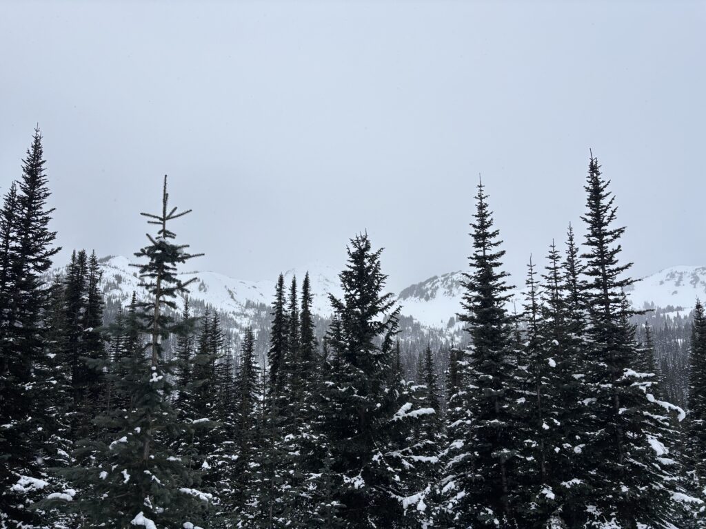
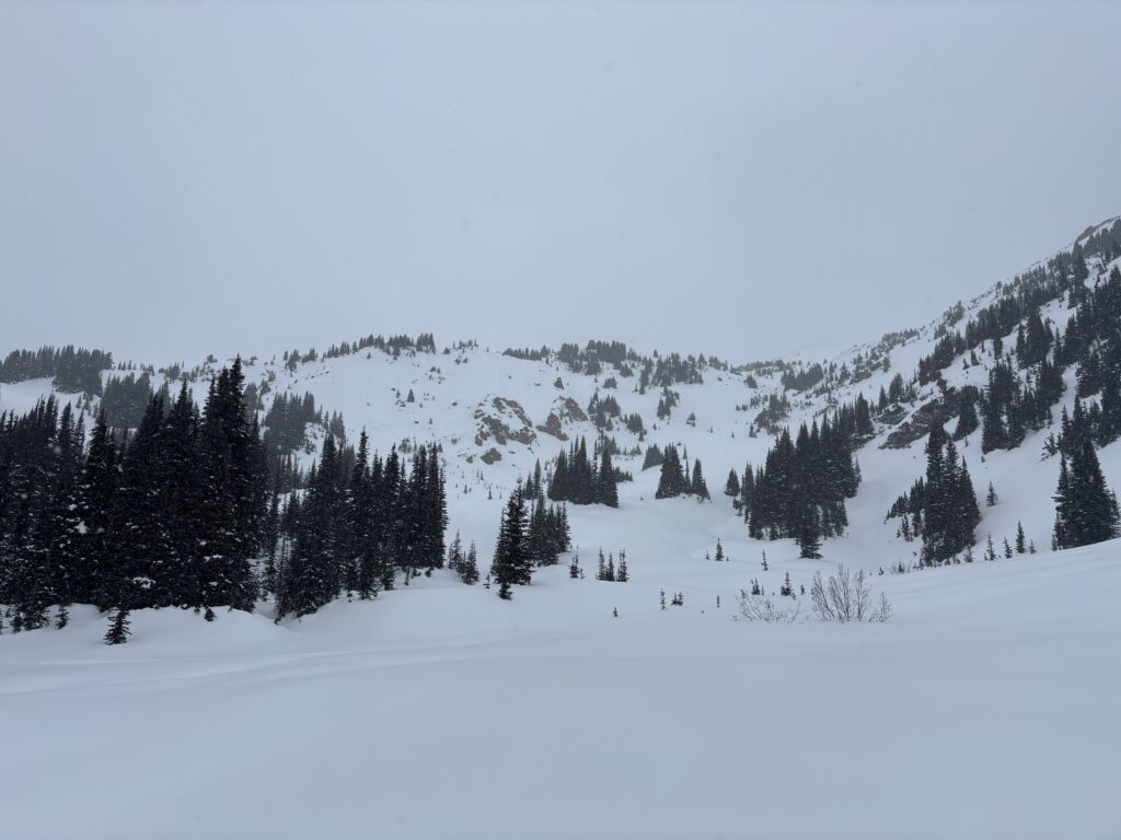
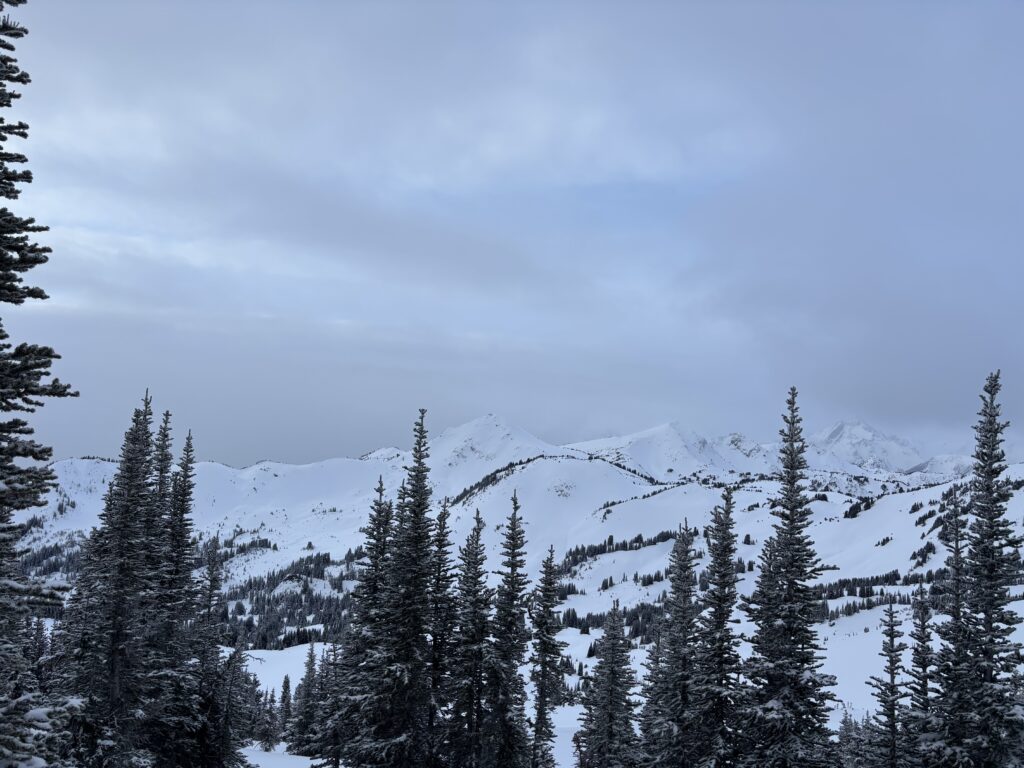
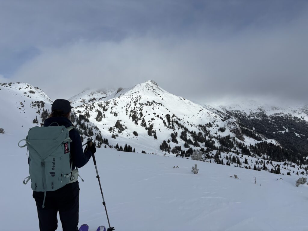
The Bridge River area remains to be my favourite in all of SWBC and so it was no disappointment when the best weather and conditions appeared to be hovering over the Gold Bridge area over the long weekend. Andrea and I were scouting all of the possibilities with this opening in the forecast. There’s one zone in particular I’ve been dying to get into, but after some last minute scrambling for a snowmobile ride, we had to set our sights on something ski accessible. That’s when honed in on the Eldorado area and in particular Nea Peak. While unofficially named, it’s the highest peak in the group north east of Tyaughton Lake. This area is marked by gentle rolling hills of striated orange rock, old mining roads and vibrant green meadows at tree line. In the winter time, it’s a ski touring paradise as those same gentle slopes make for long unimpeded ski runs on untouched snow.
We weren’t sure what roads are plowed or not and to what elevation, but our best bet appeared to be the old Cinnibar Mine Road, now called the “High Trail”. It starts right off of Tyaughton Lake road, which had to be plowed given Tyax Helicopters operates down the road. It’s a 5.5 hour drive out there in the winter as the Hurley River is closed during the season, so a 3 day adventure was a must. We’d have to suffer through some -15 temps the first night and then the weather was set to gradually improve towards Monday. A worthwhile sacrifice as we’d just be approaching on day one anyhow.
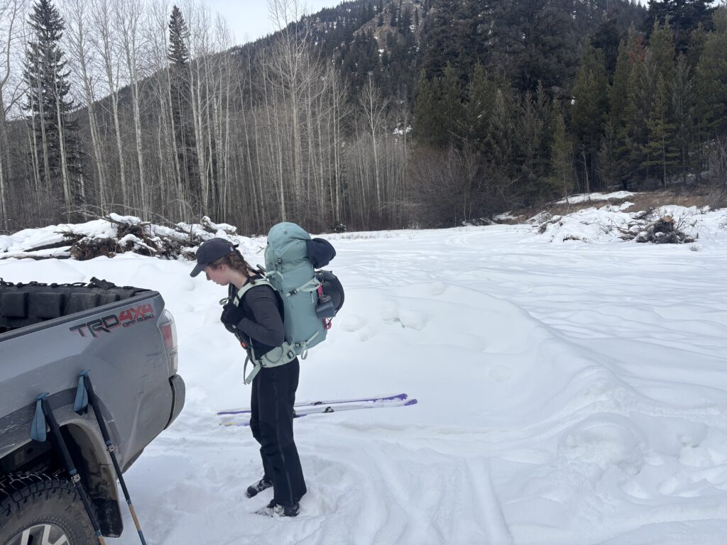
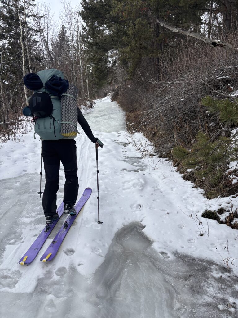
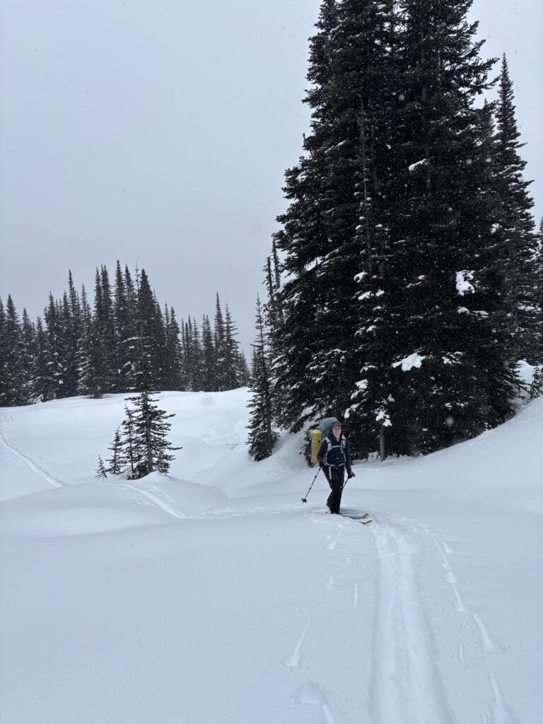
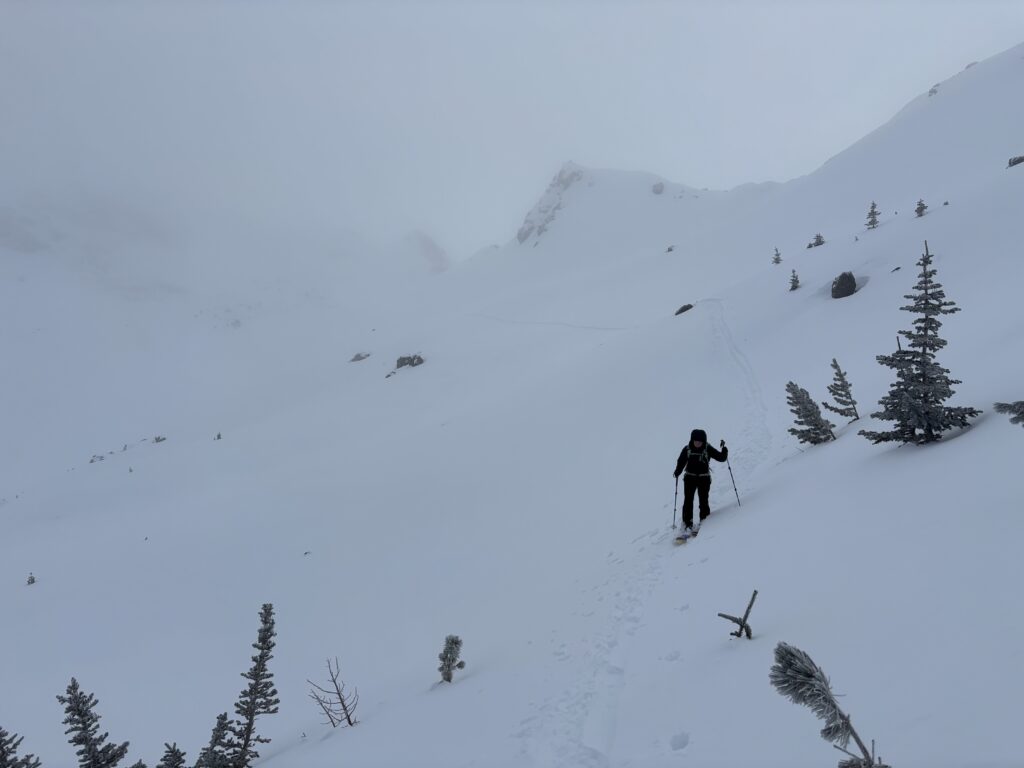
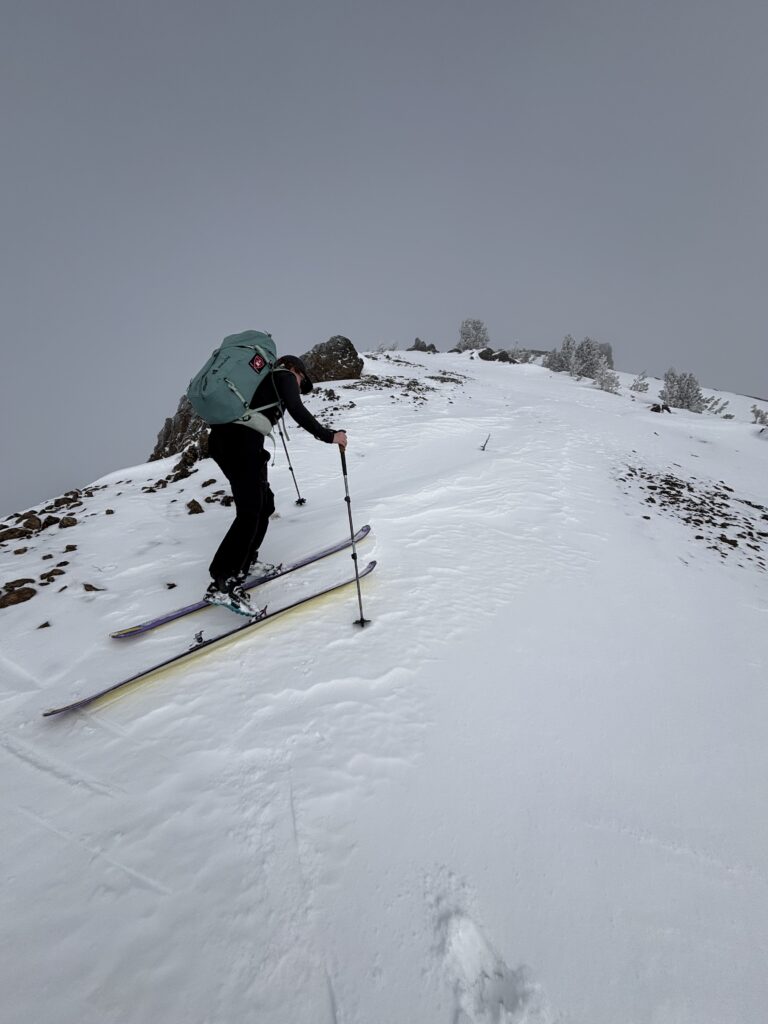
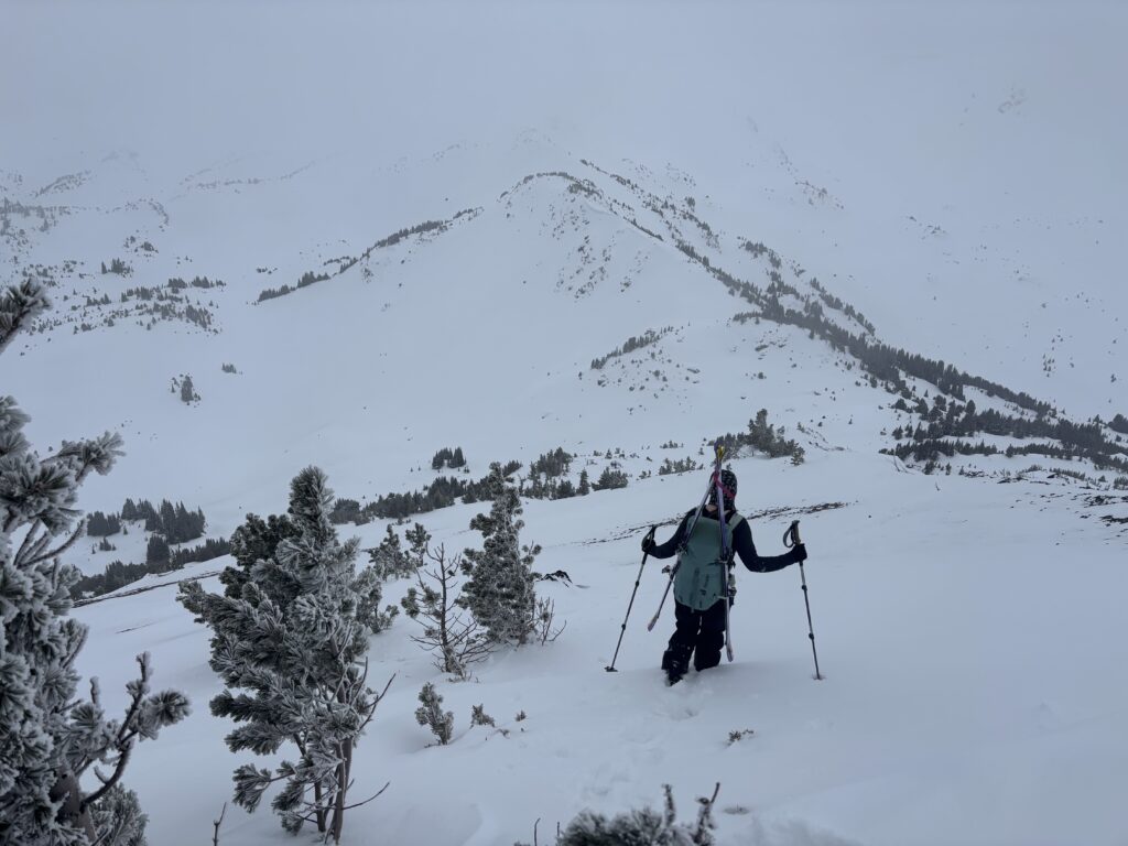
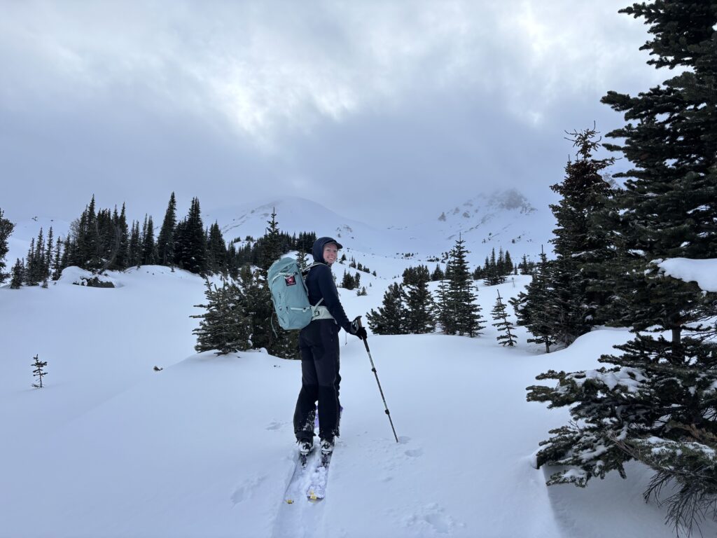
With that, we left from Vancouver early on Saturday morning and reached the trail head without issue late in the morning. A truck was already parked with a neat set of skin tracks heading up the road. Certainly a good sign for our planned approach! We shortly followed suit and skinned up the laid in tracks. The road was generally low angle and overall pretty boring, so it was a nice reprieve when we finally hit alpine meadows. We continued up the skin track for a little ways and then eventually forked off towards Camel Pass to find a suitable camp site. By now bad weather had rolled in and our visibility was dropping quickly.
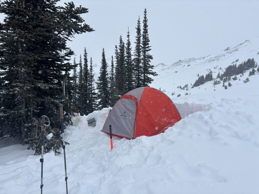
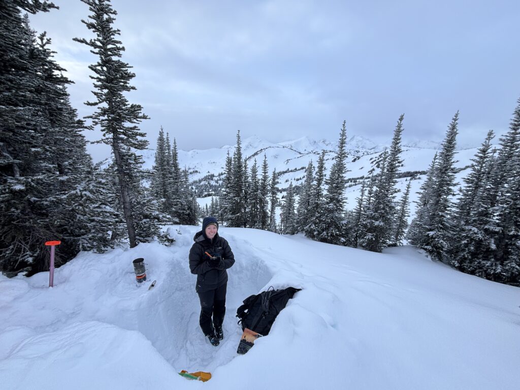
Andrea lead us up to the pass and we could see just far enough down the other side to determine that there weren’t many great camp sites nearby. Instead we opted to skin back a few hundred meters to a bench we had passed on the way up. It was suitably sheltered from the wind and reasonably flat. Both of us got to work digging out a tent site and by 4pm everything was ready to go. Unfortunately, that left little else to do except make dinner and sleep as the sun would be setting at 5:30pm. The temps dipped down to -10 with a “feels like” of -15, so we didn’t loiter for long after dinner.
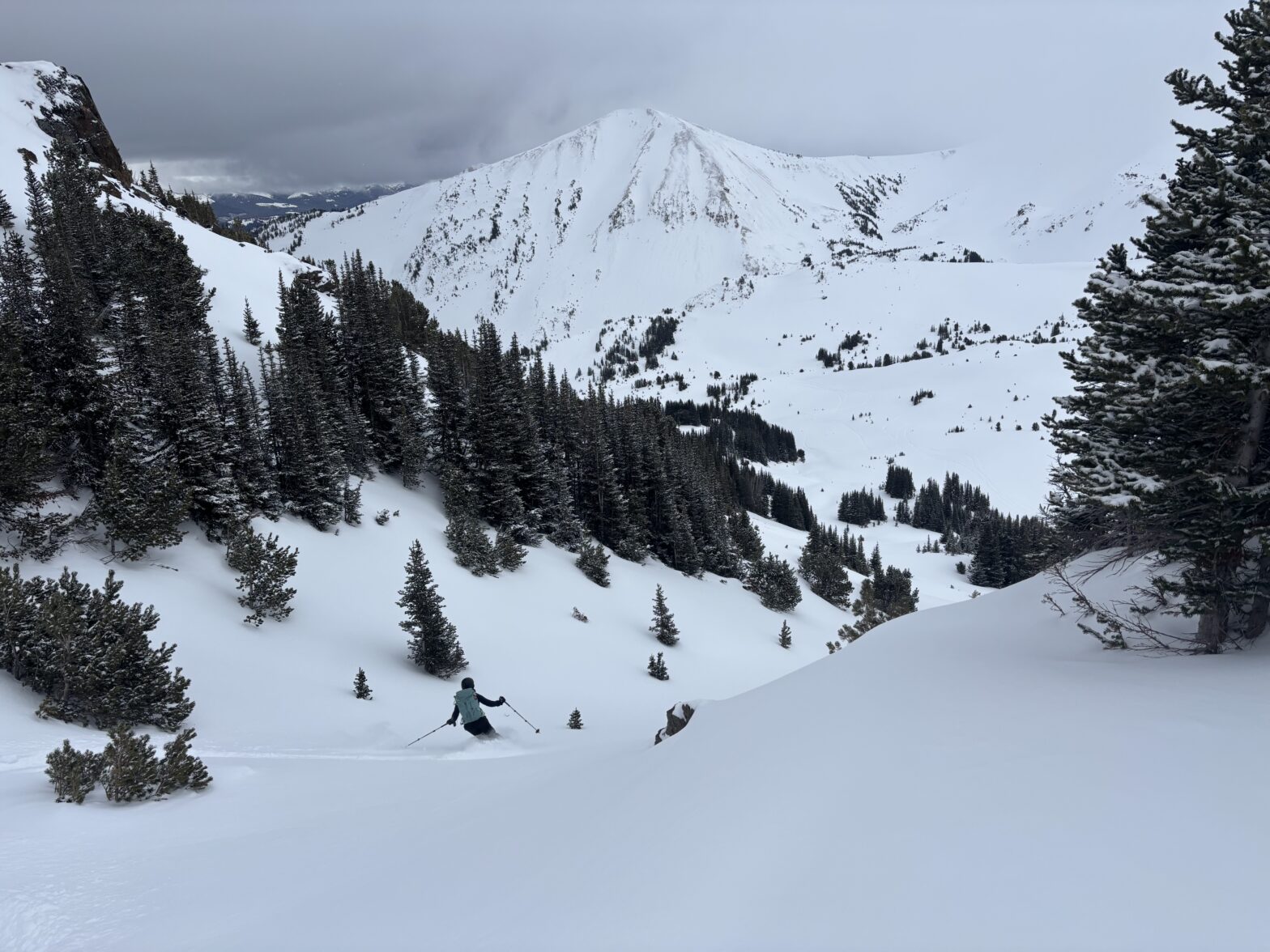
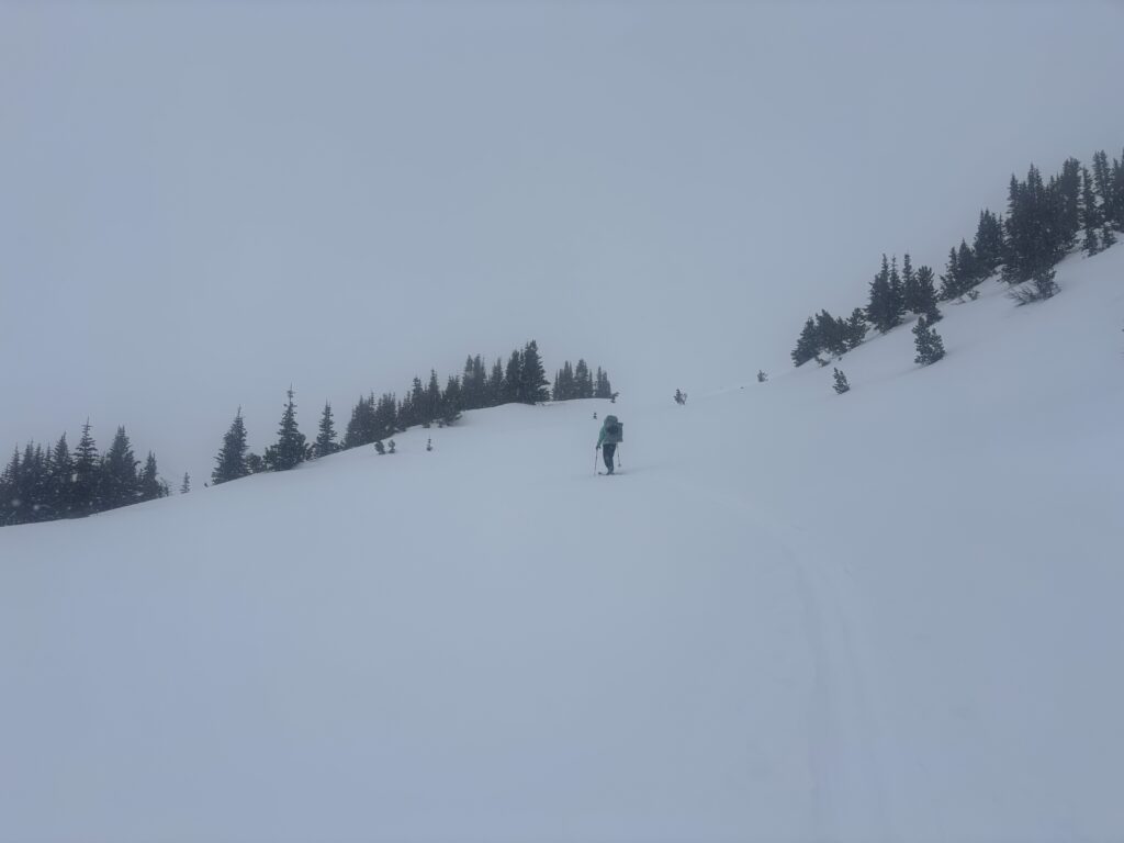
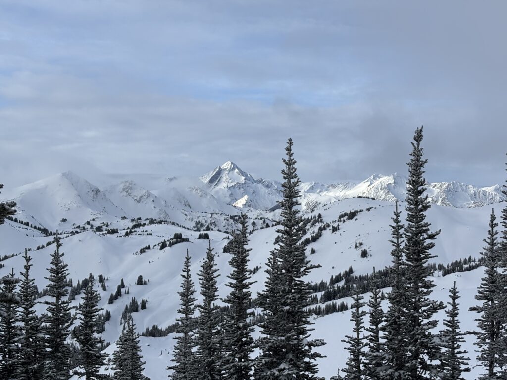
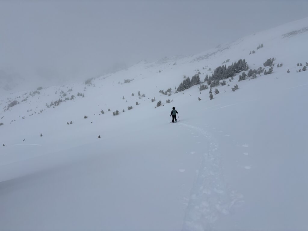
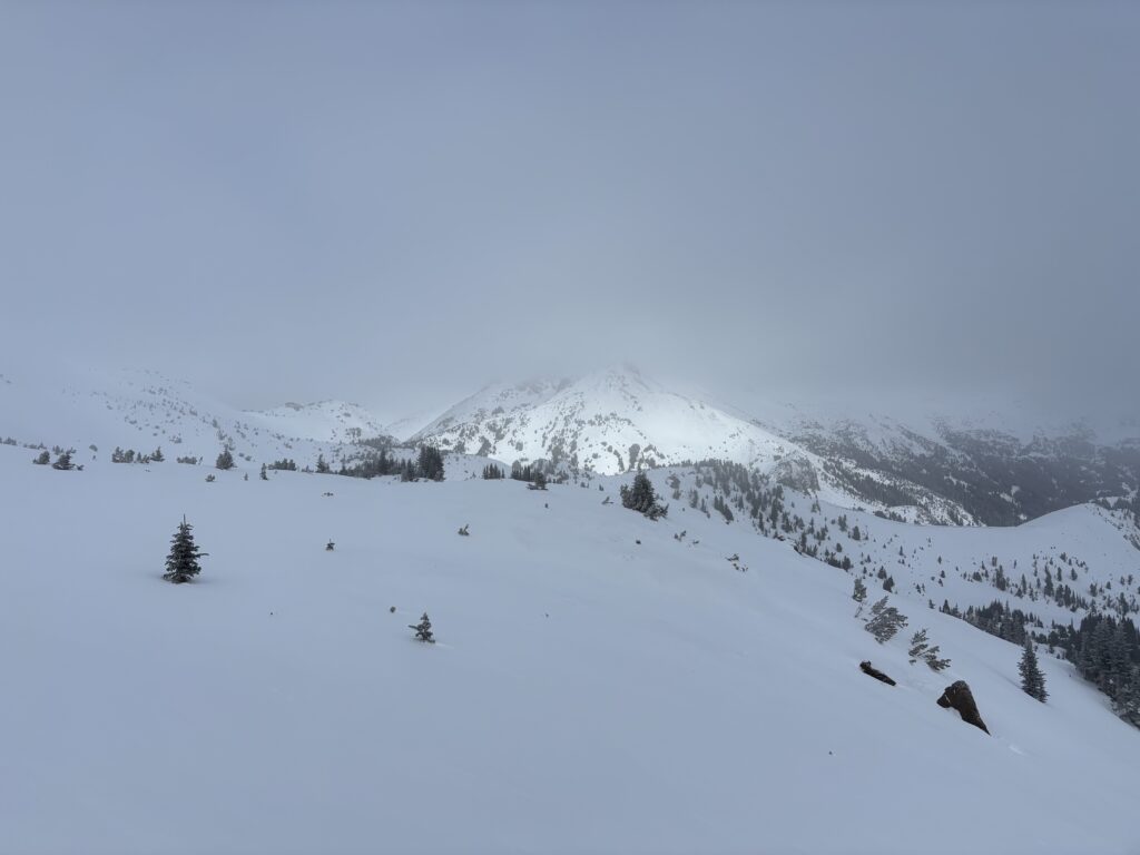
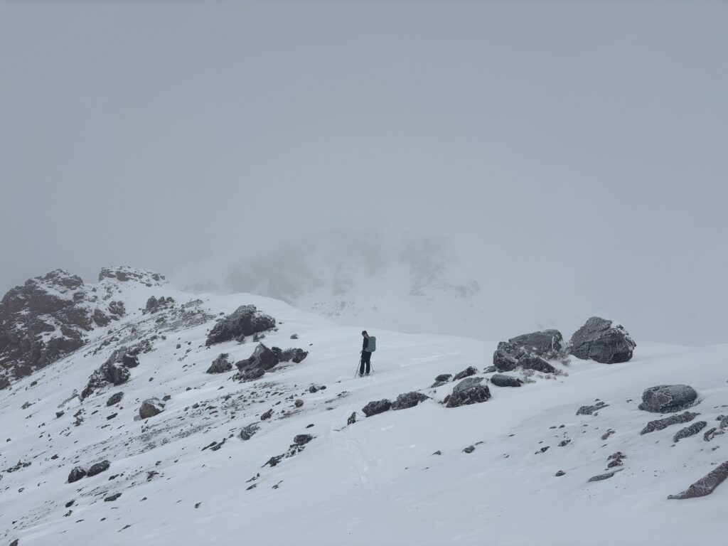
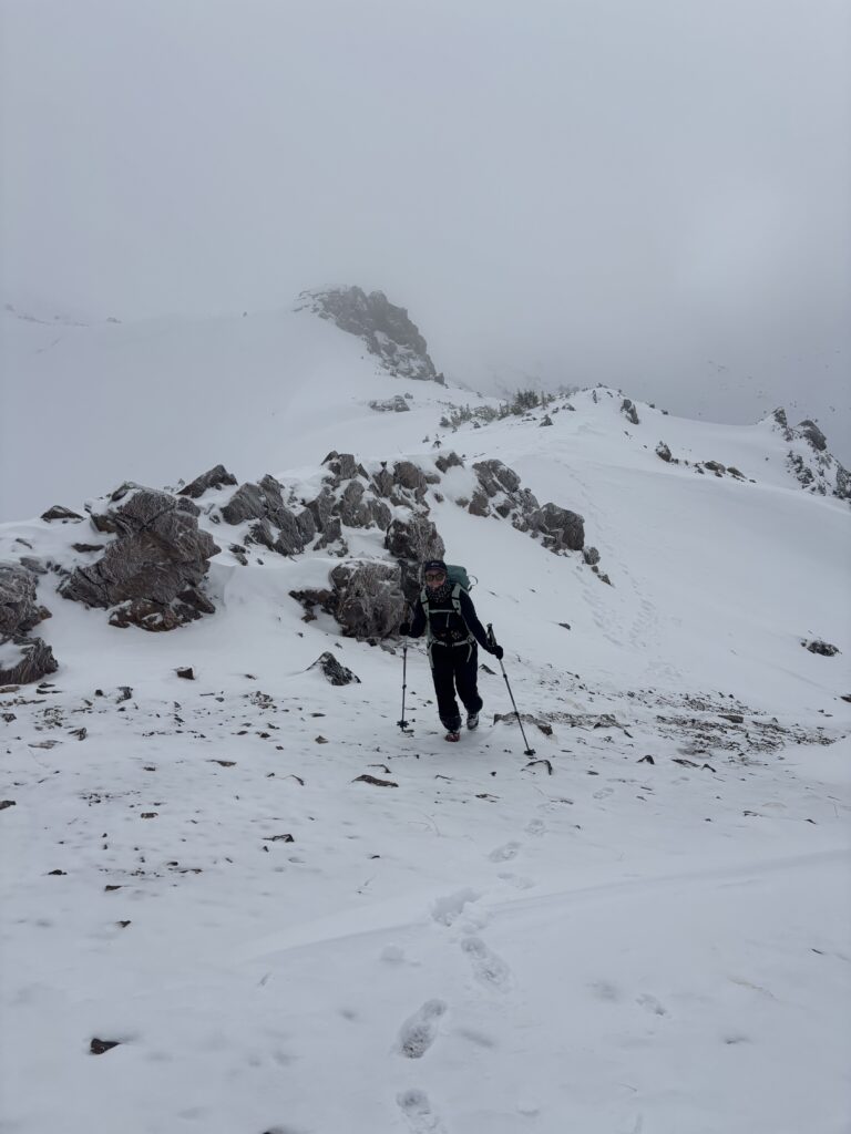
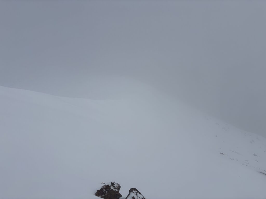
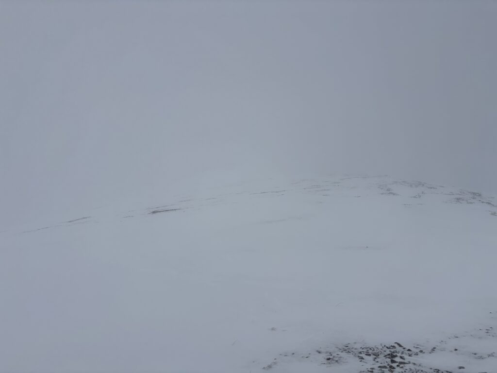
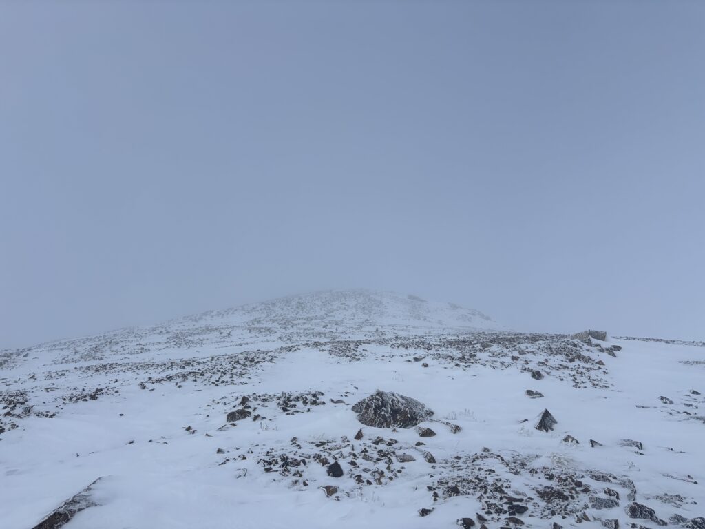
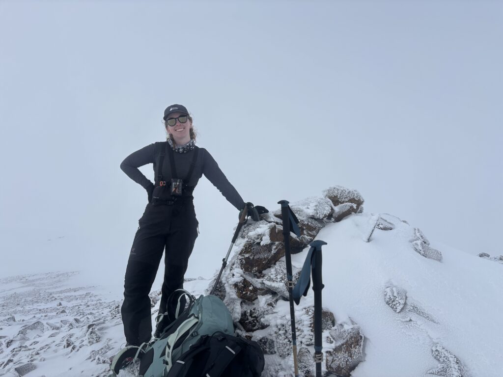
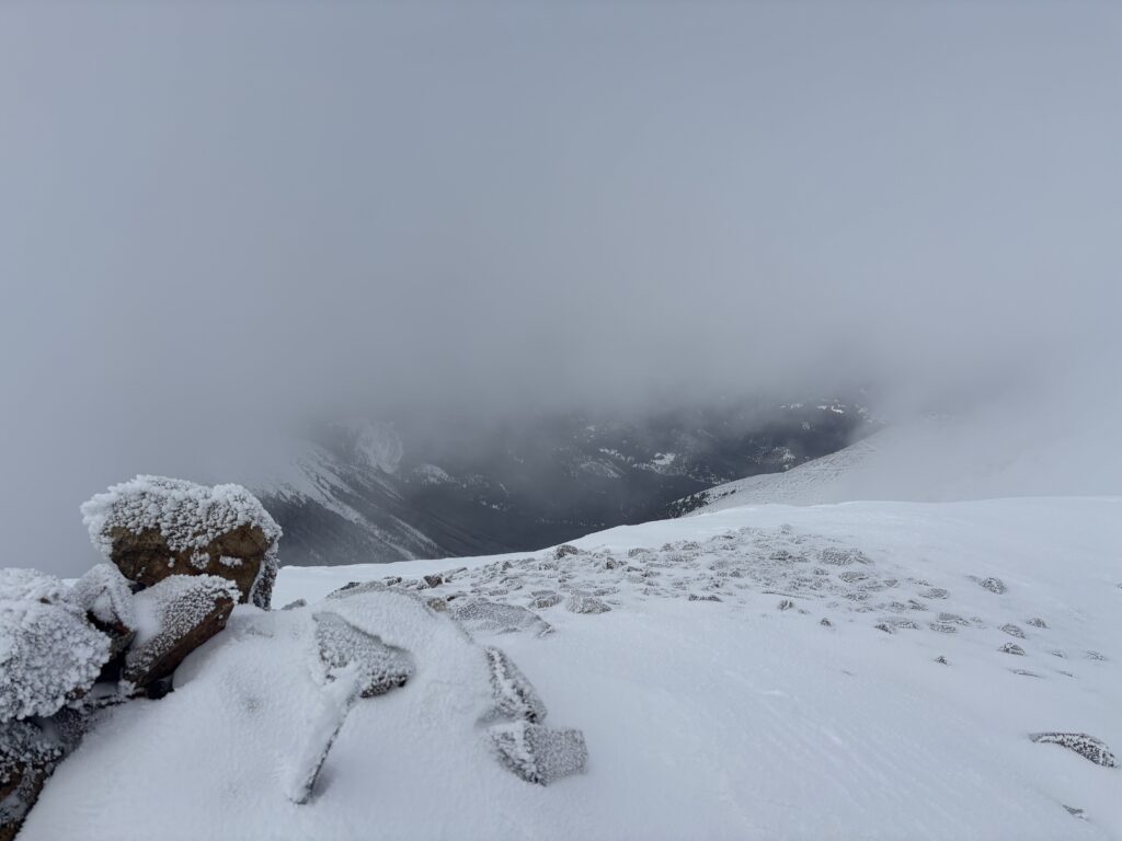
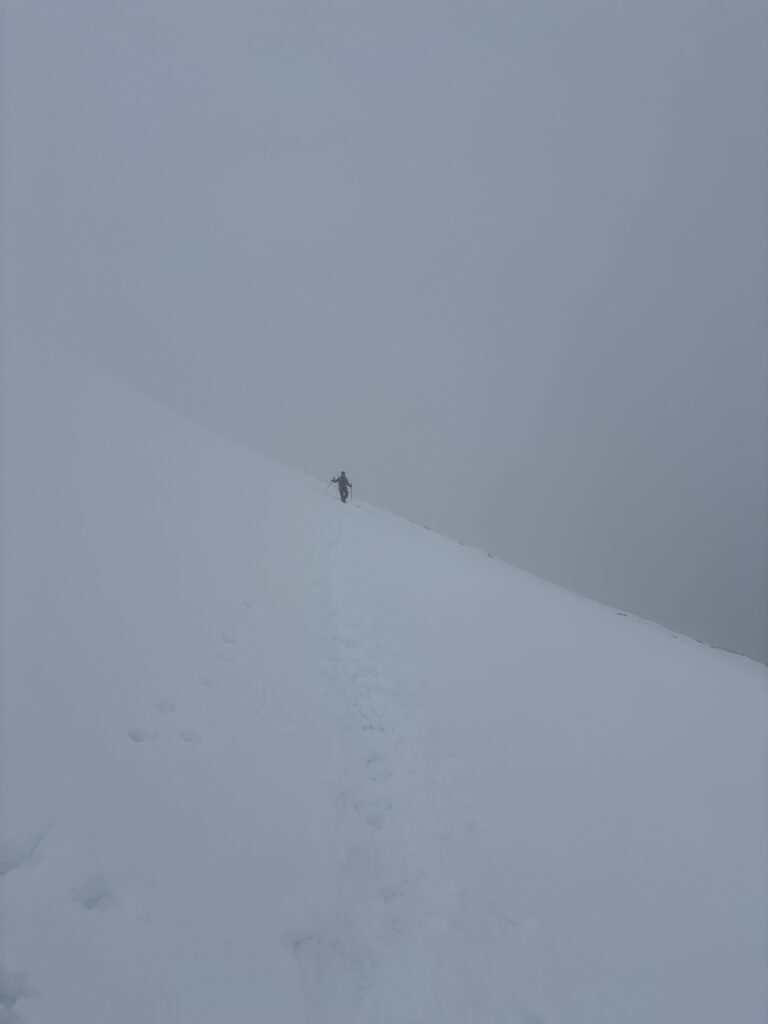
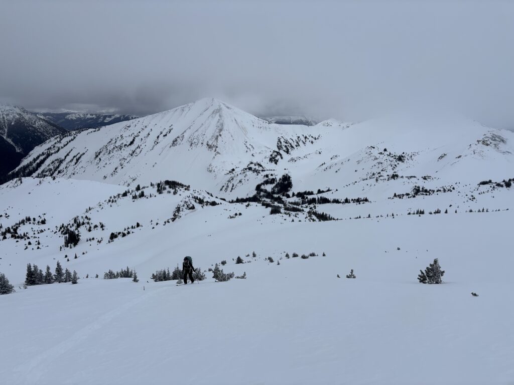
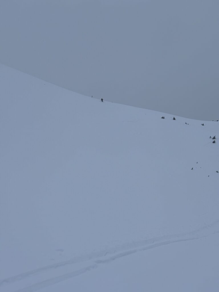
Somehow we managed to sleep 12 hours before rising to the occasion. The weather was somewhat improved and we were both excited to go check out Nea Peak. After breakfast we made the short skin up to Camel Pass and then dropped down into the other side. Nea and the other nearby summits were obscured by clouds, but we pressed on in the hopes that things might improve. After a kilometer or two through the snowy alpine meadows we reached the south ridge of Nea and ascended up into the clouds. The snow slowly turned to rock and before we knew it we had ditched skis on the ridge in favour of just boot packing up. There was zero visibility to be had, but we pressed on and after a bit of post holing found ourselves on the broad wind scoured ridge just below the summit. It was an easy hike to the top where we waited for a break in the clouds. Above we could see glimpses of blue sky and it was apparent we were just shy of being above the cloud line. Our break never came and we gave up to go ski some untouched powder on the lower slopes instead.
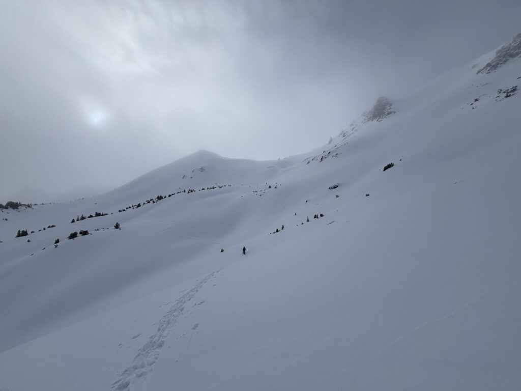
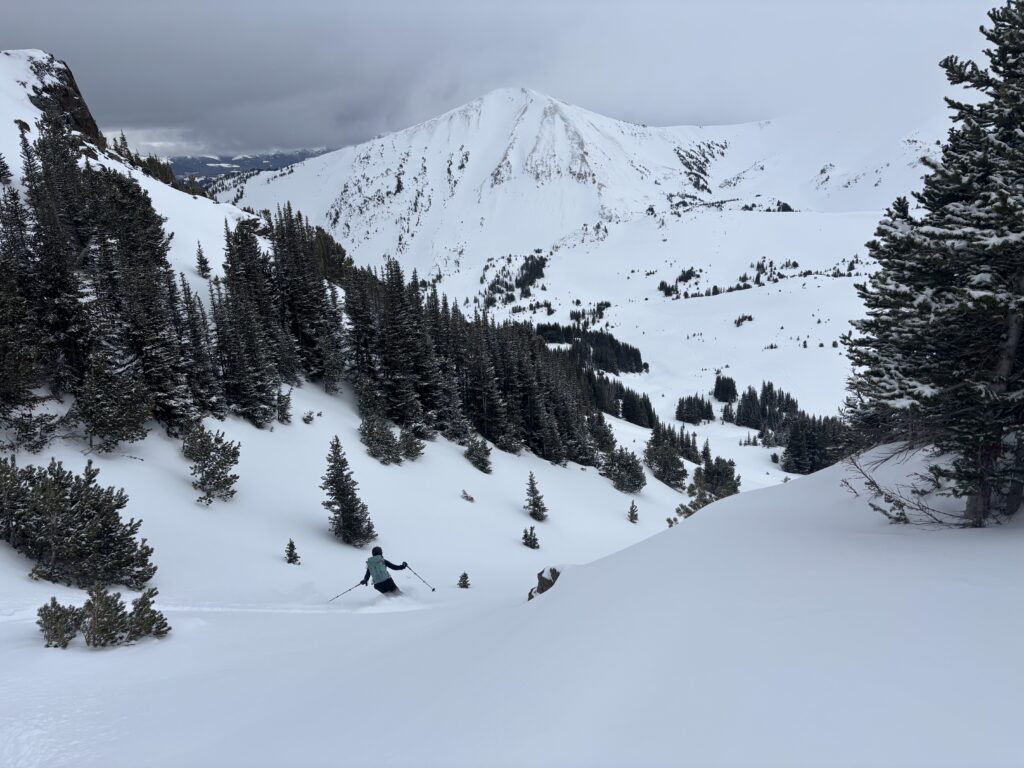
Our walk back to the skis was easy peasy and Andrea found us a nice run off the south ridge through a neat little gully. We then skinned part way back to Camel Pass before gaining a nearby ridge. From the ridge we skied down over 1km into the trees through unending powder before resigning to a march back to camp. Reaching camp was a bit of a slog, but worth it.
The second night called for warmer temps, so we took our time in our make shift kitchen by the tent. In the midst of preparing dinner and water we ran out of gas, but just managed to squeak out 1L + the nights meal. That ended the nights festivities and I managed to stretch bed time out until 8pm before passing out. Unfortunately, I woke up again at 11pm and didn’t get to back to sleep for at least 3 more hours. Andrea had a milder case of insomnia, but our paths crossed somewhere around midnight and we got to share the moon rise of a cloud inversion in the middle of the night. A worthwhile trade off if you ask me! Finally, I fell asleep again around 2am and the next day started with better weather than the last.
First order of business was heading up the nearby “Cinnamon Peak”!