Elevation Gain: 2,465m
Distance: 25.22km
Total Time: 2 days
Date: January 18th and 19th, 2025
Abandoned Peak is a rather isolated and seldom visited summit down the Elaho River valley. The first ascent was in 1972 by John Clarke when he traversed across several prominent peaks via the Ashlu River FSR. It’s not certain how many others followed in his steps but since the demise of the Ashlu FSR ,John’s route no longer seemed viable. I had been thinking about both Abandoned Peak and Deserted Peak for some time, but there was a lot of uncertainty about how to get up it. This area of the Elaho is notorious for steep bluffy terrain and at time dense bush whacking. Most of the mountains rise steeply from the valley floor before tapering off into broad glacier covered summits.
The nearest access road is G-Main at the base of the Eastern aspect and I figured this must be the closest starting point. I wanted to time this summit so that the forest would be snow covered, but the road dry. Usually that means waiting until May, but this past weekend I would get lucky. A forecast of L/L/L with a higher snowline meant it was worth taking a shot. Brayden, Sarah and I had already been discussing some ideas for the weekend and in the last minute I threw this peak out. I had heard vehicles were getting close to G-Main in the snow and that would put us in walking distance to the start. There was of course still a good chance we could not drive close enough, but it was worth a shot. We decided on doing this as an overnight trip with a stretch goal of ascending up Deserted Peak as well. Again there’s a lot of unknowns, so we brought a minimal setup for glacier travel and rappelling along with all of the usual overnight gear.
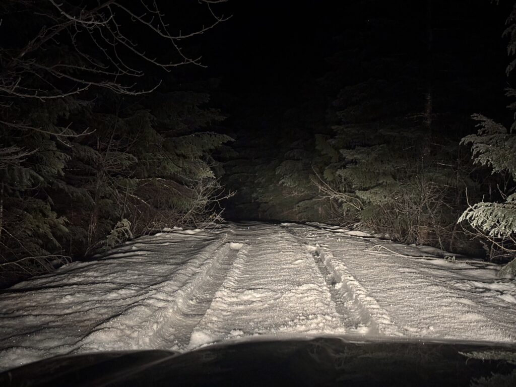
We left Vancouver around 4am and reached the first spots of snow about 4km down Elaho FSR. Thankfully, the snow was well tracked out and I was able to drive all the way past Peaches and Cream falls on G-Main, before the tracks ran out. That put us within 4km of walking to the start of my proposed route. Under the early morning light we set a brisk pace along the snow covered G-Main. Once we reached a large alluvial fan marking the start of the route, we branched off into the bush. The forest was surprisingly open in here; although in the summer time I’m sure that’s a different story.
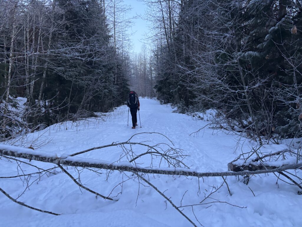
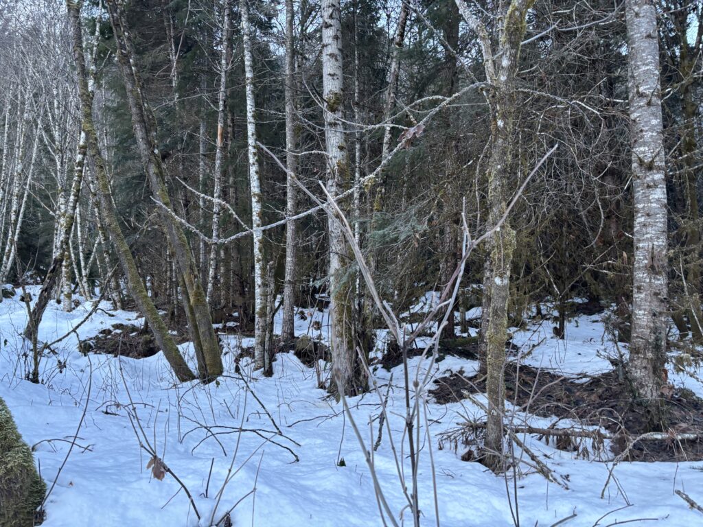
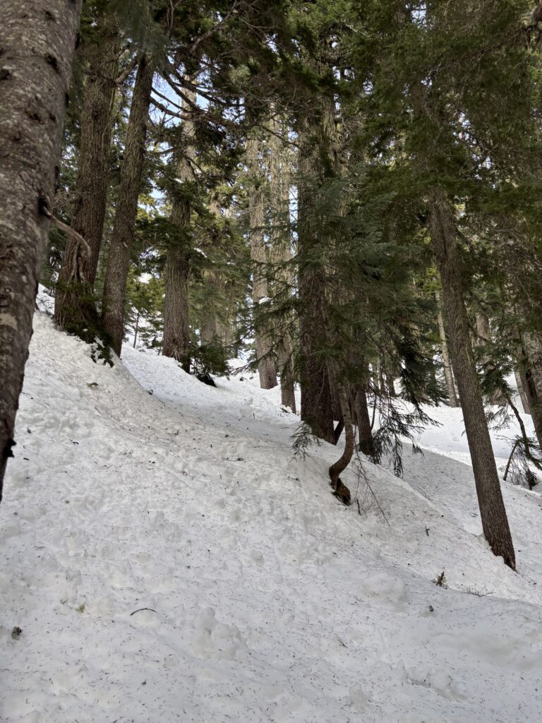
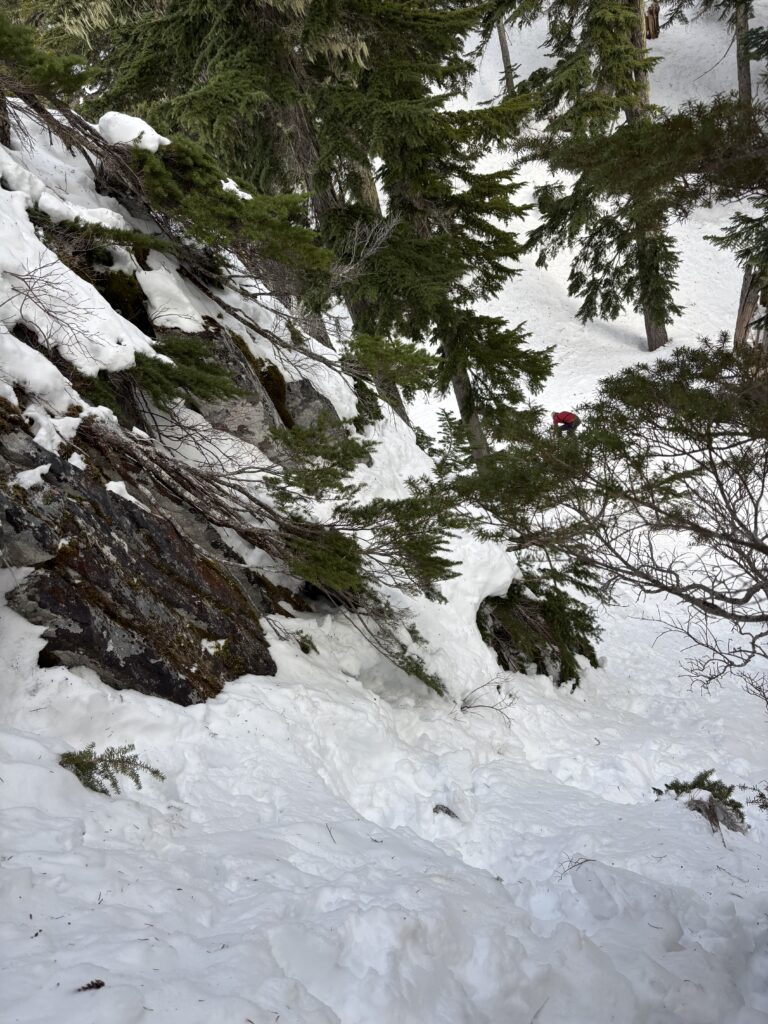
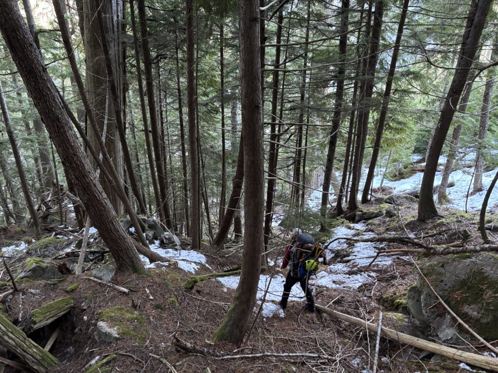
We exited the flat section of the fan and started up in to the sloped forests above. Some 200m above us an old heli-logging cutblock resided and I thought it might offer a relatively straightforward ascent with the snow. Unfortunately when we reached it, we discovered the maniacal replanting schemes of the early 2000’s. The cut block was an absolute mess of deadfall, bluffs and facefuls of evergreen. Our only hope was a few select stands of old growth climber’s left of the cutblock. When we finally reached them we discovered why they were untouched…. bluffs. Lots and lots of bluffs. We were forced back into the centre of the cutblock and pushed on through the worst of it. Finally at about 950m elevation gain we hit old growth again.
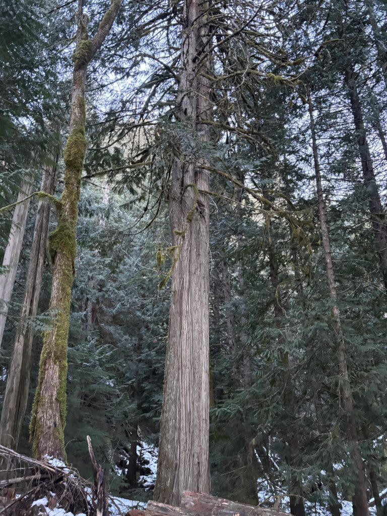
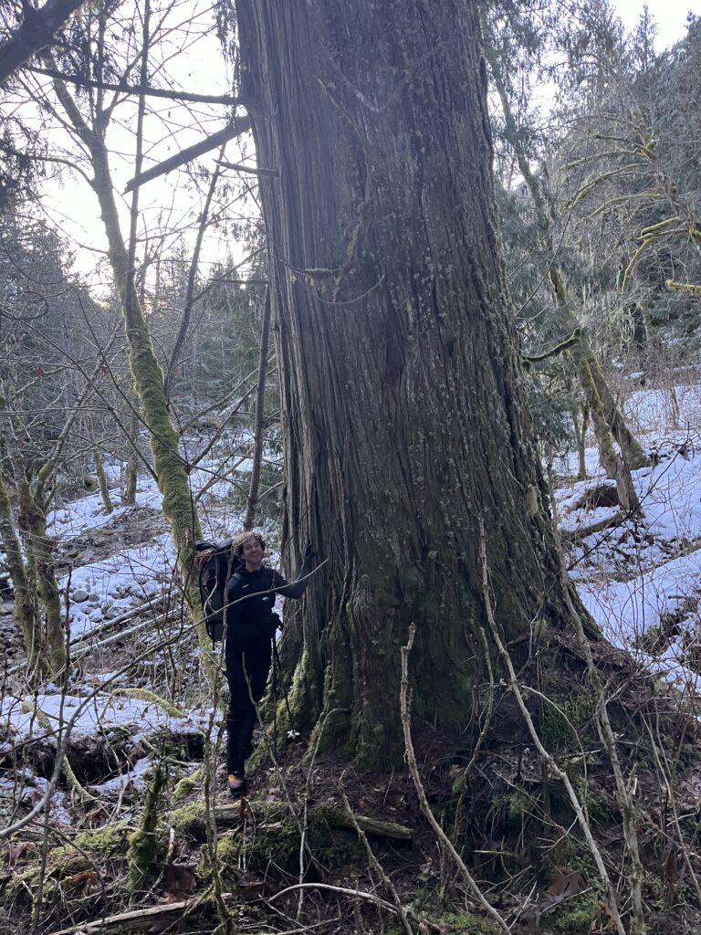
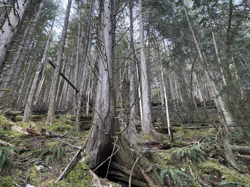
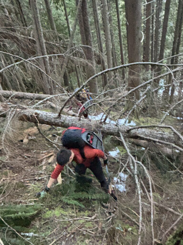
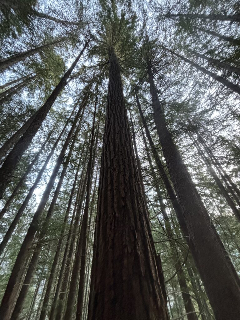
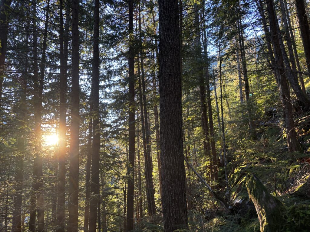
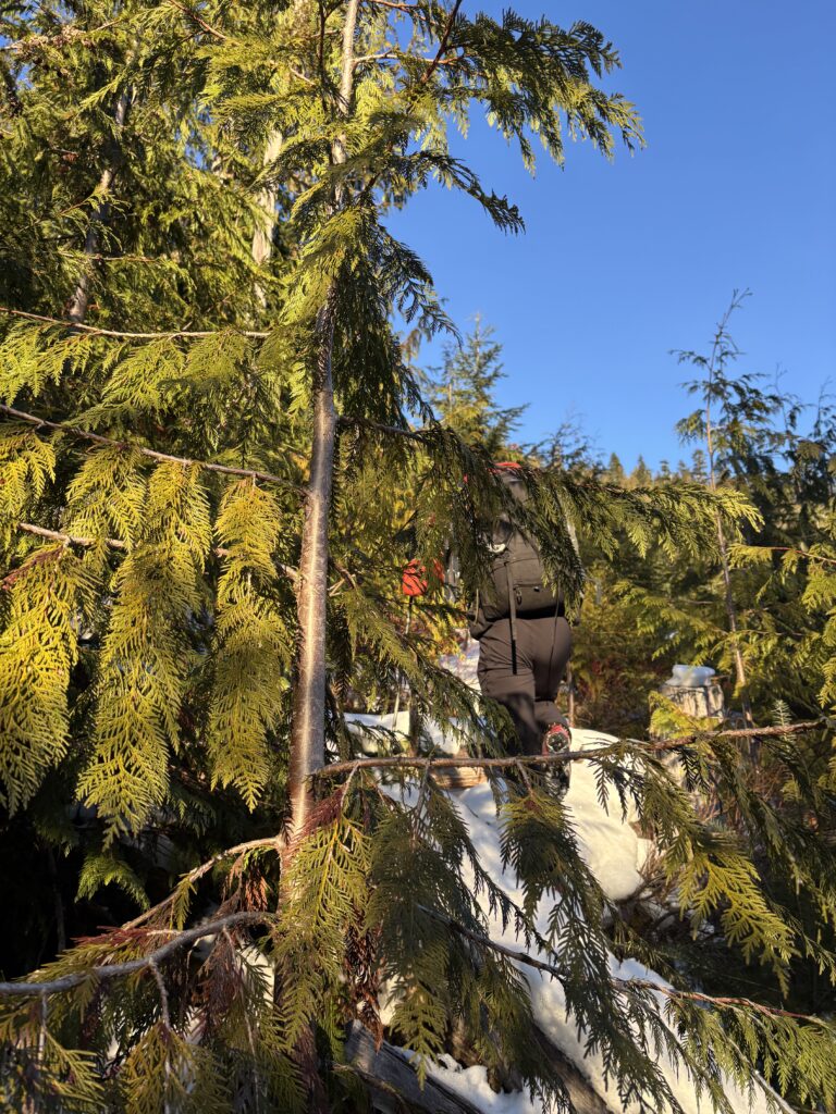
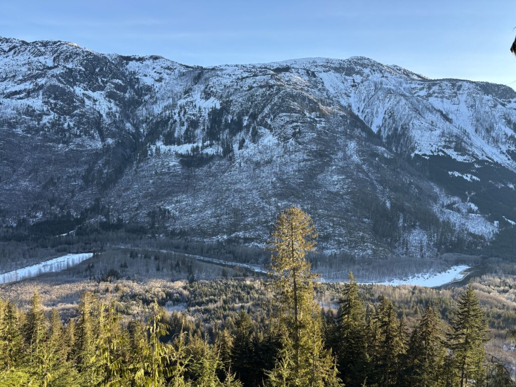
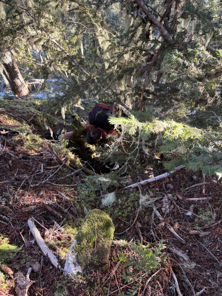
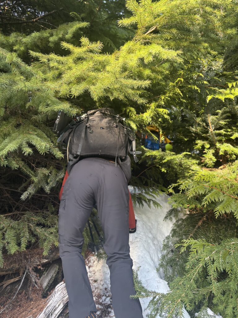
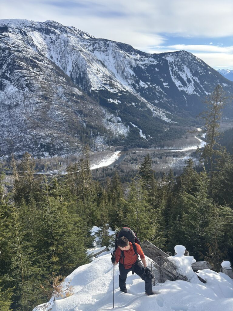
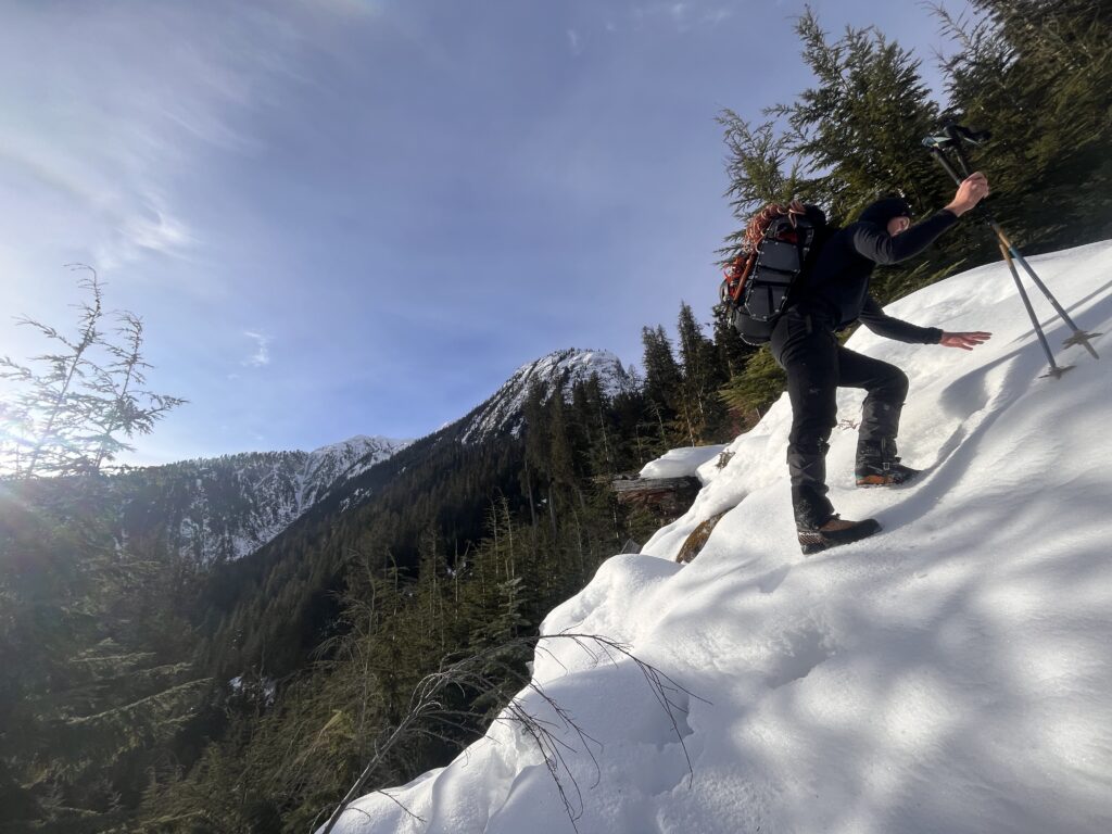
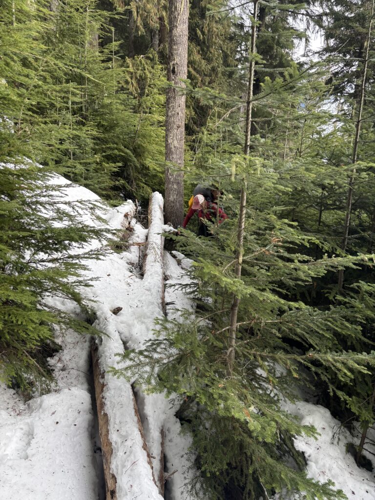
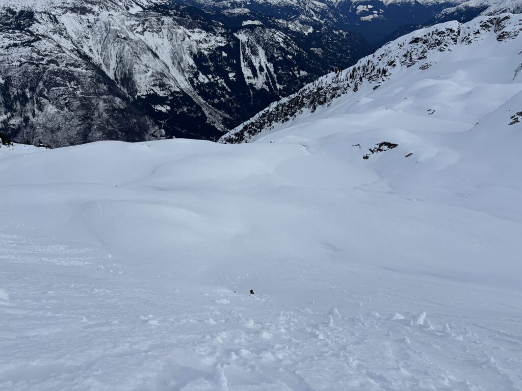
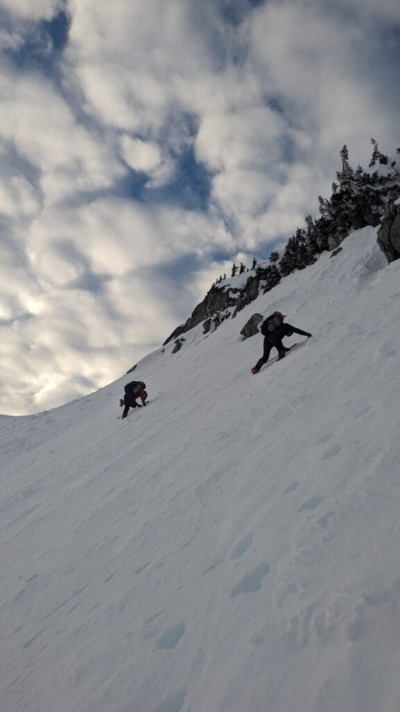
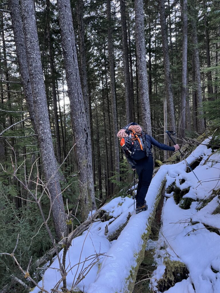
The difference was night and day. Suddenly we had expansive open forest floor to traverse on and it was a major relief. We encountered no issues following the steep forest up to the ridge line at 1400m. Here on the topo it looked to be an easy ridge traverse to the summit. However, the ridge proved to be quite bluff infested as well. Our first challenged was getting out of the forest onto the ridge from a notch at 1400m. We found a narrow bond mushy snow and vege belayed ourselves up. We then continued along the ridge, generally trending climber’s left around the numerous bluffs until we hit the massive glacial ampitheatre at 1600m.
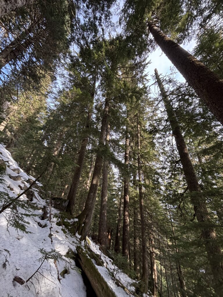
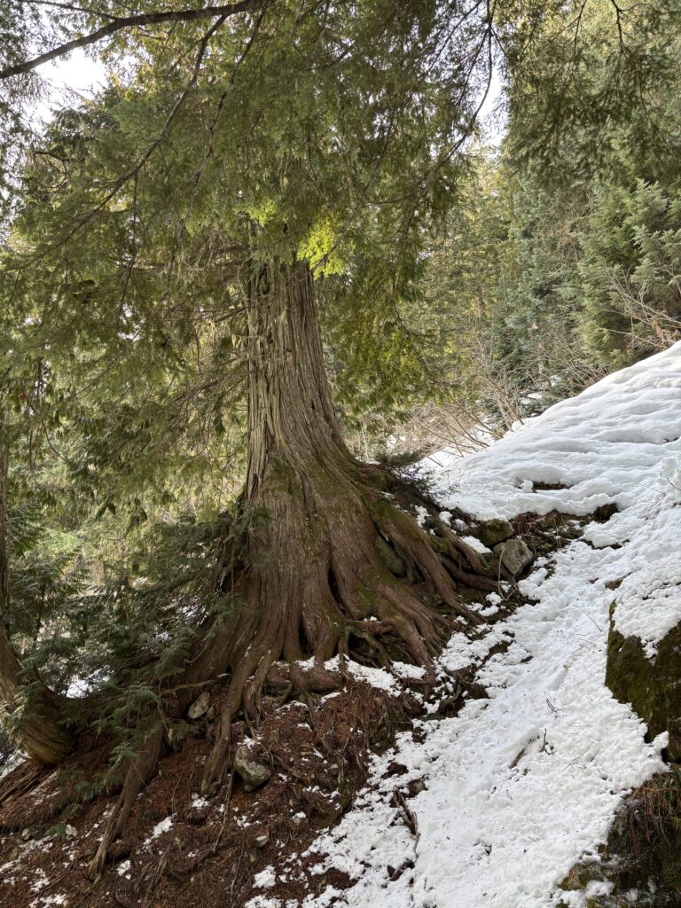
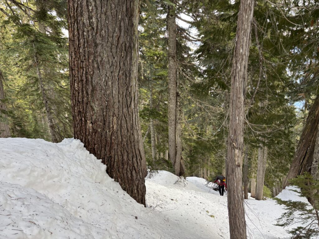
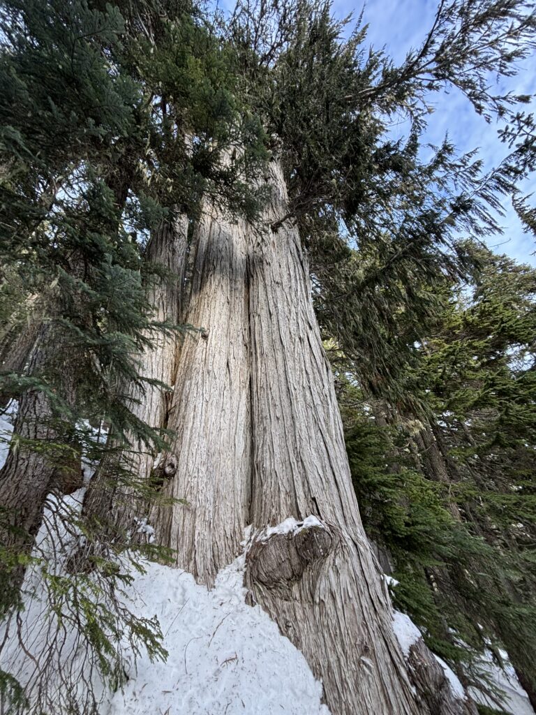
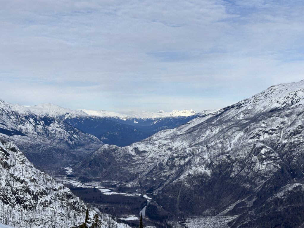
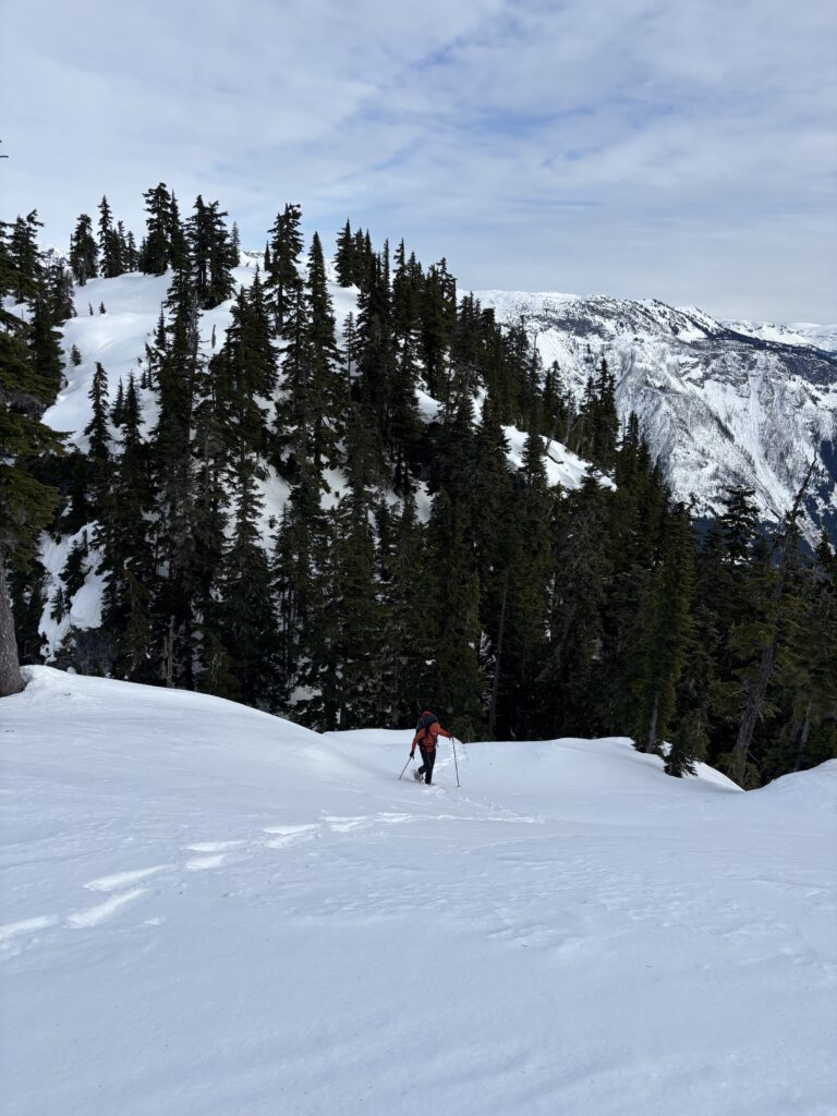
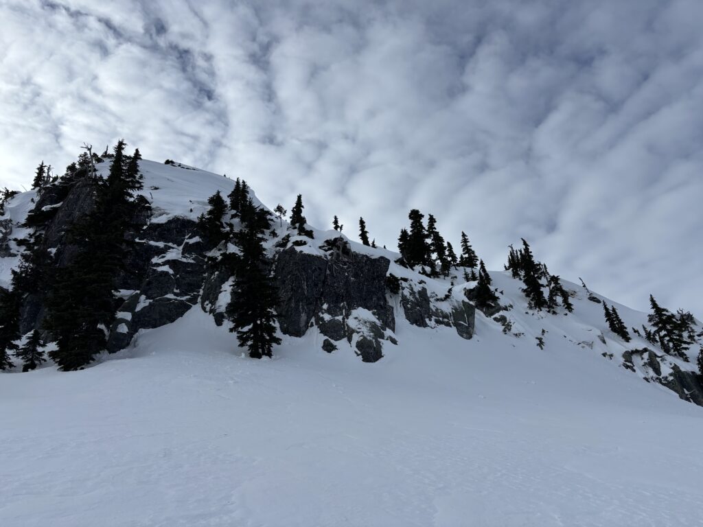
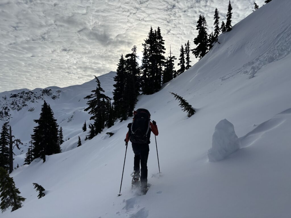
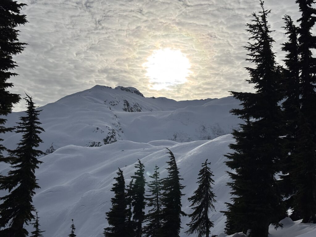
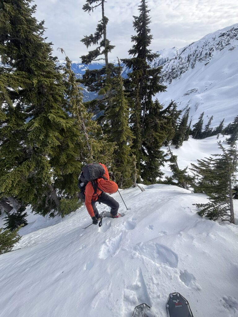
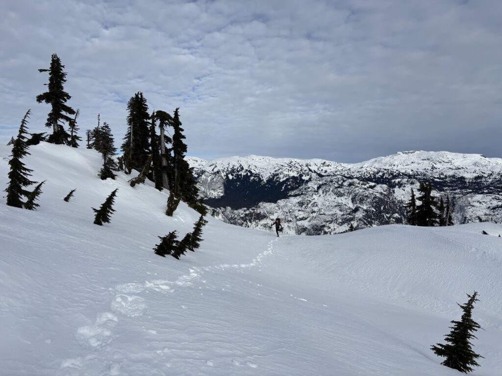
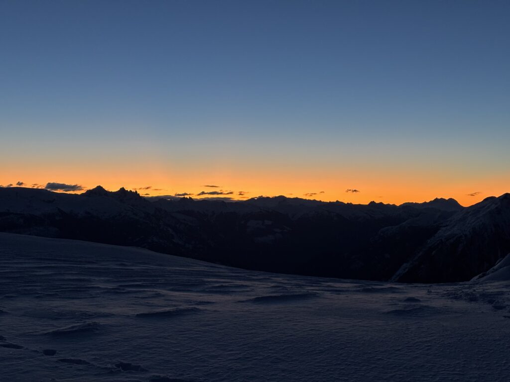
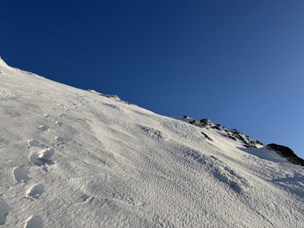
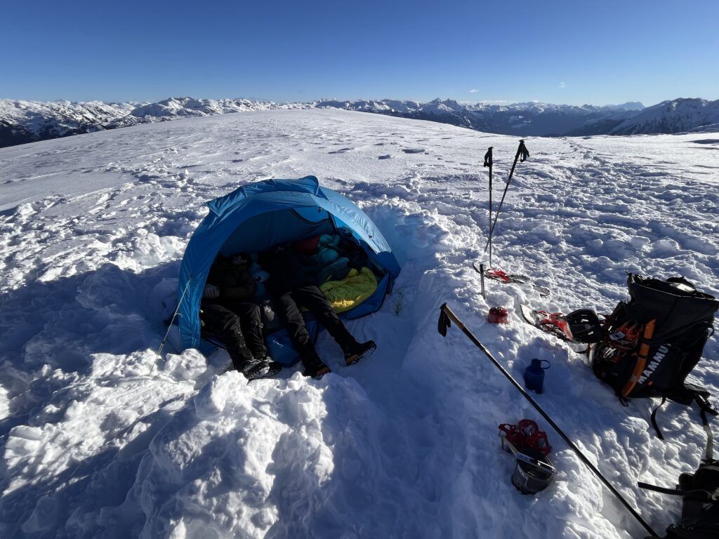
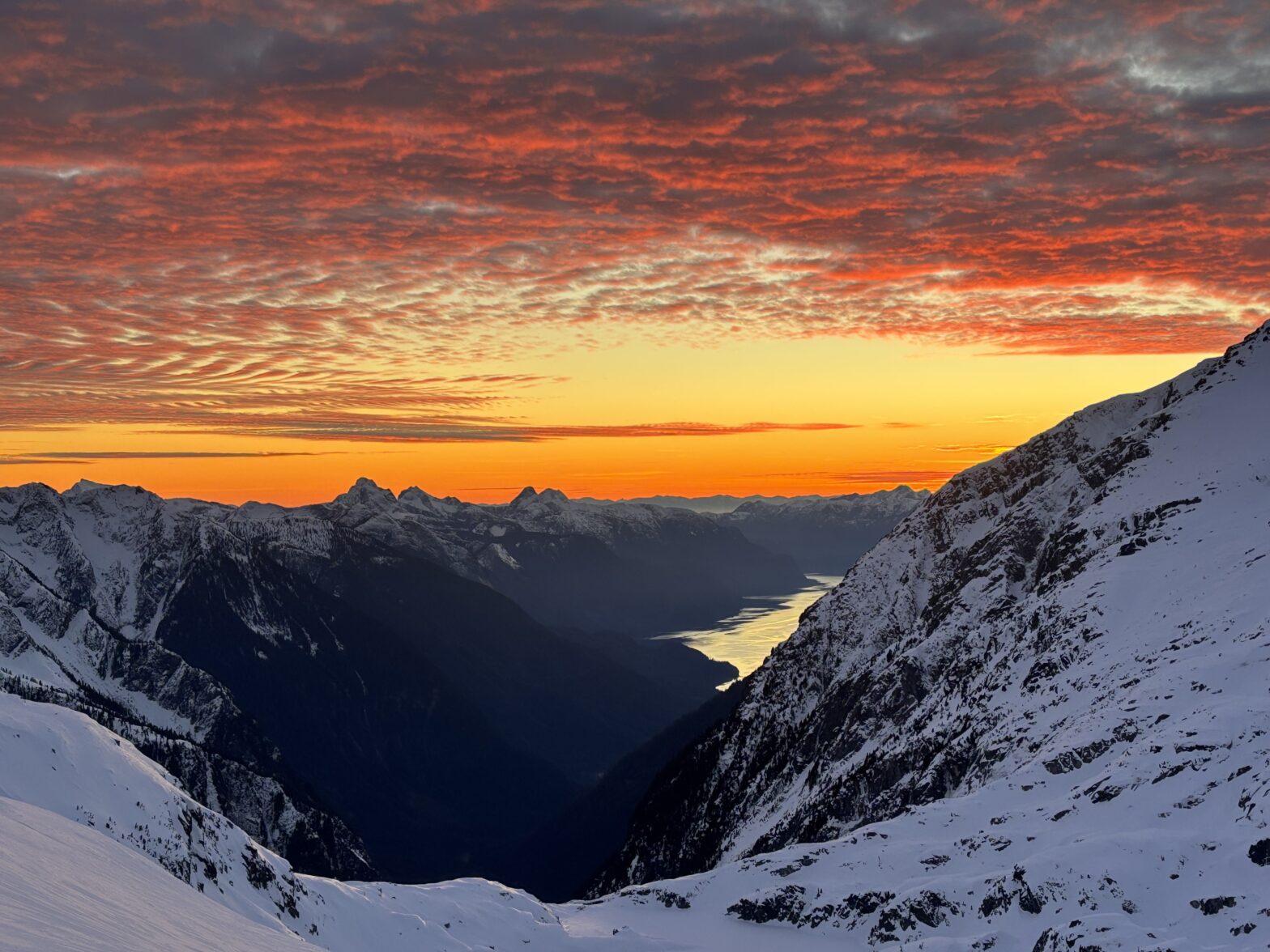
One final massive cliff blocked access to the upper ridge system and so we had to locate a route through the ampitheatre. We ascended a few steep slopes on perfect firm snow and at last hit open ridge line. It was now 4pm or so; 9 hours since we’d left the car and we had run out of time to reach the summit on the first day. We quickly got to work setting up camp so that we could spend the rest of the evening admiring the sun’s mastery of alpenglow. While we watched the sunset, we decided on going for Abandoned Peak in the morning as Deserted Peak was the most likely to shut us down out of the two.
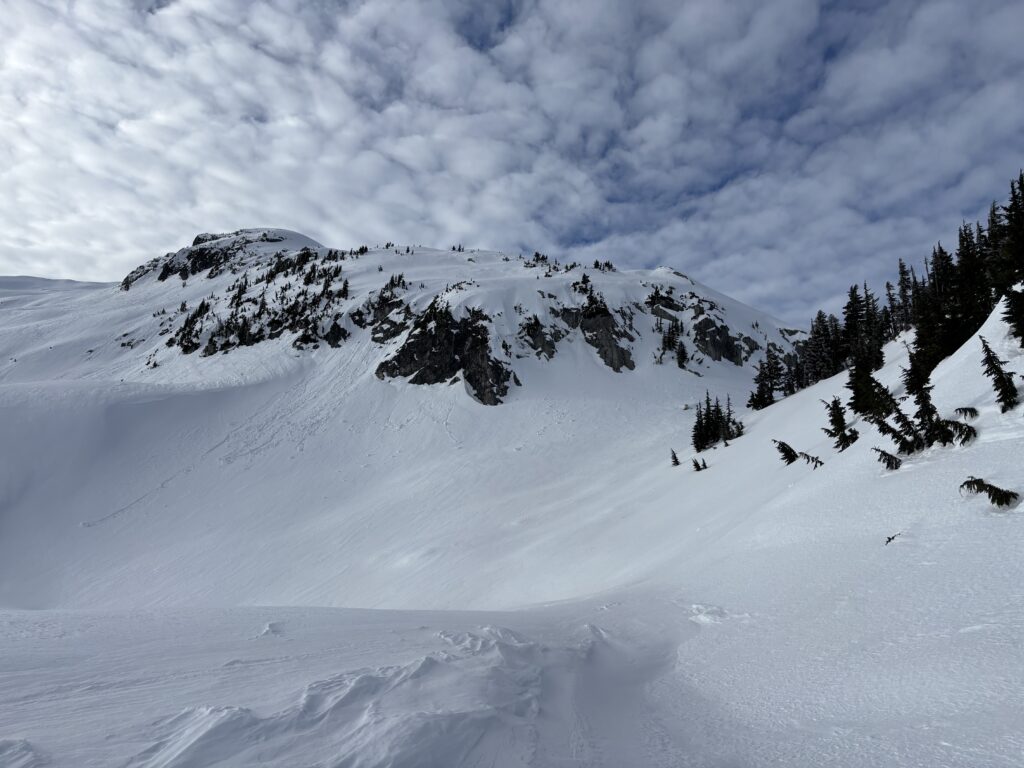
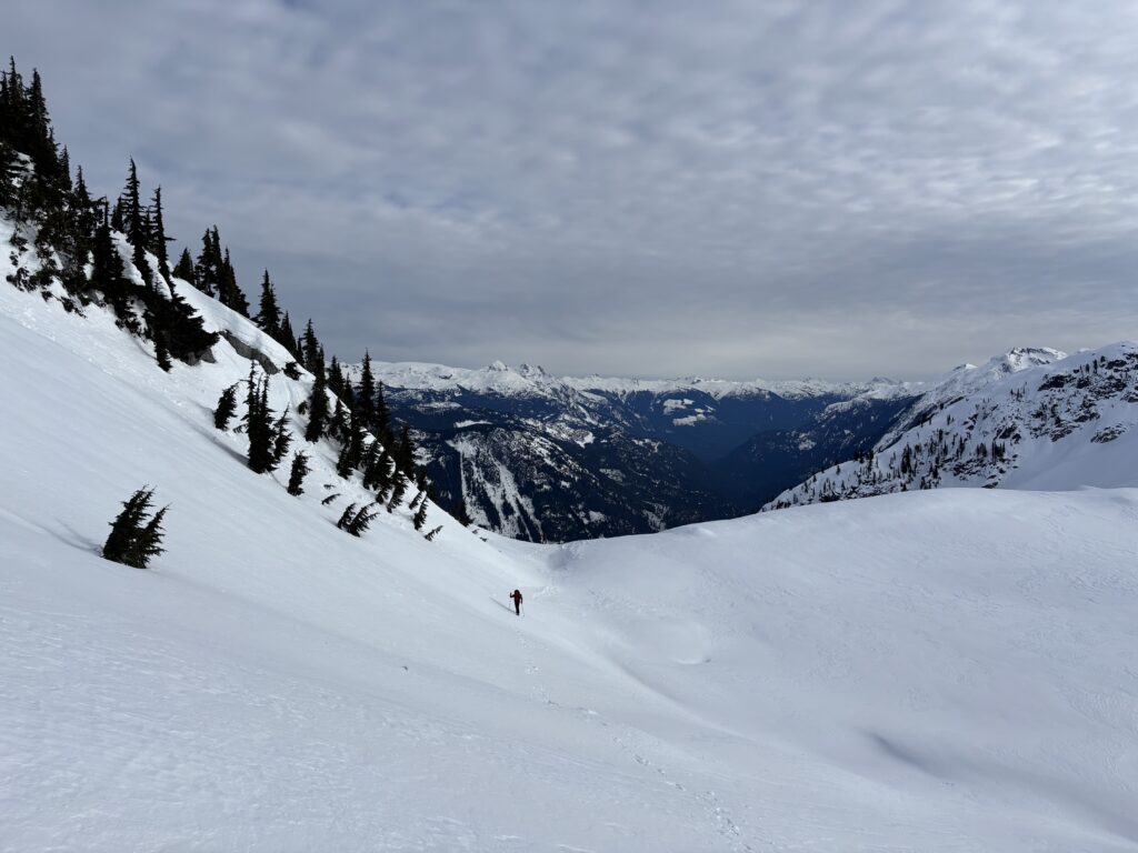
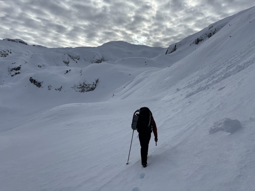
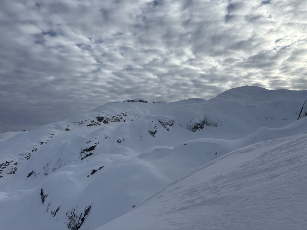
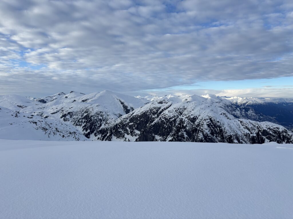
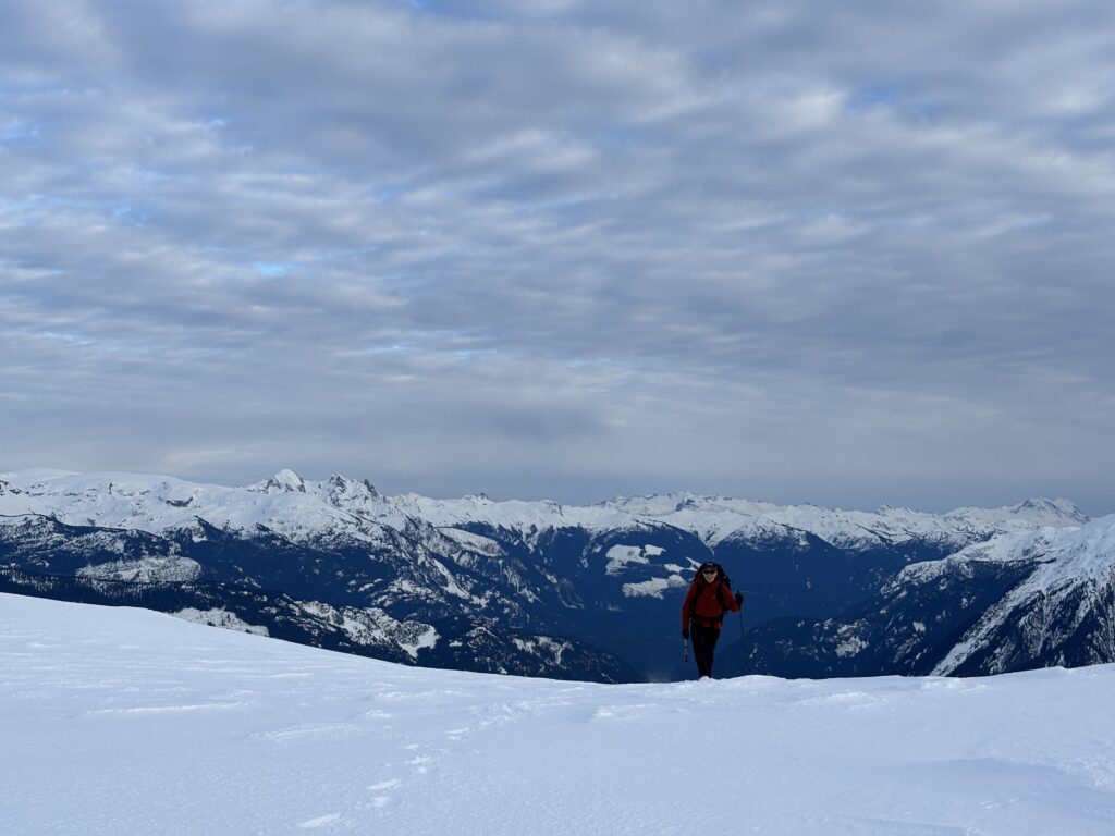
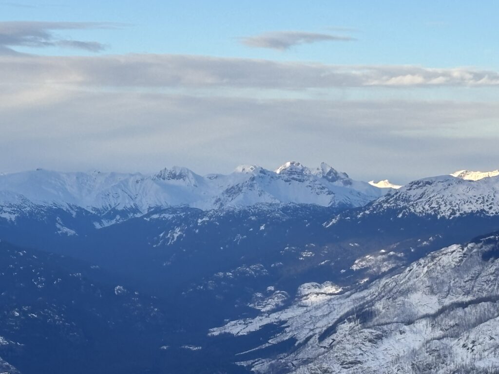
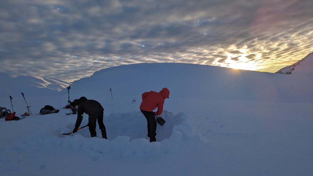
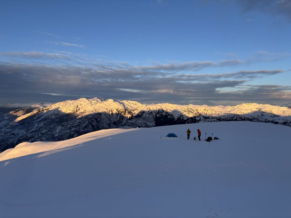
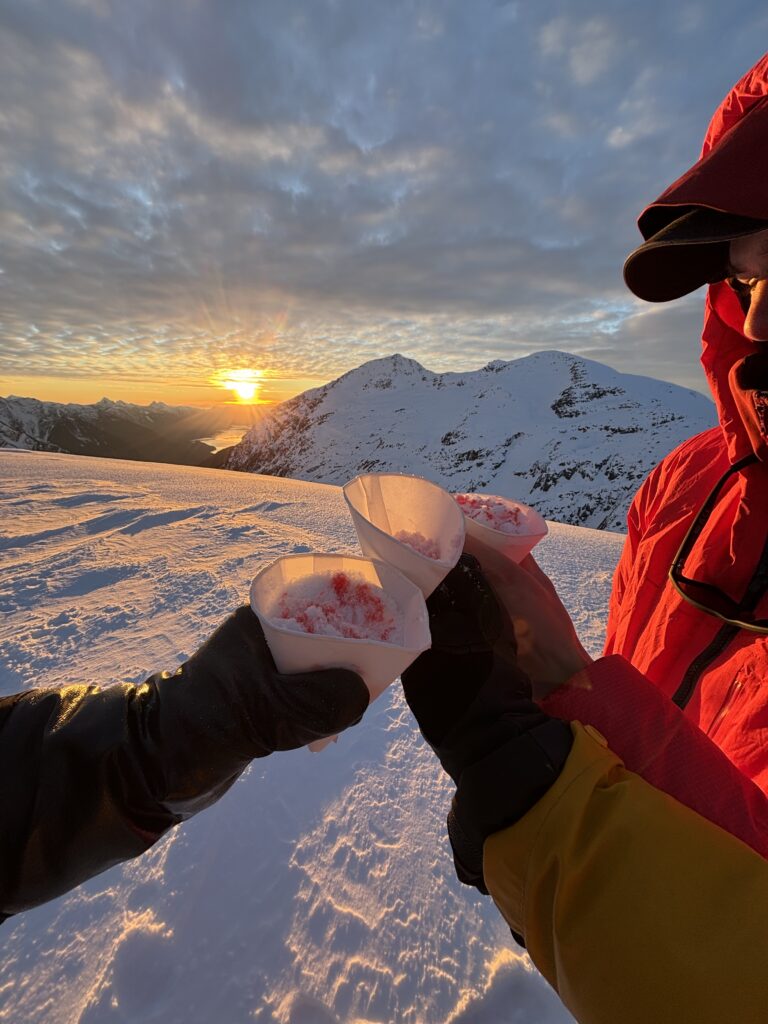
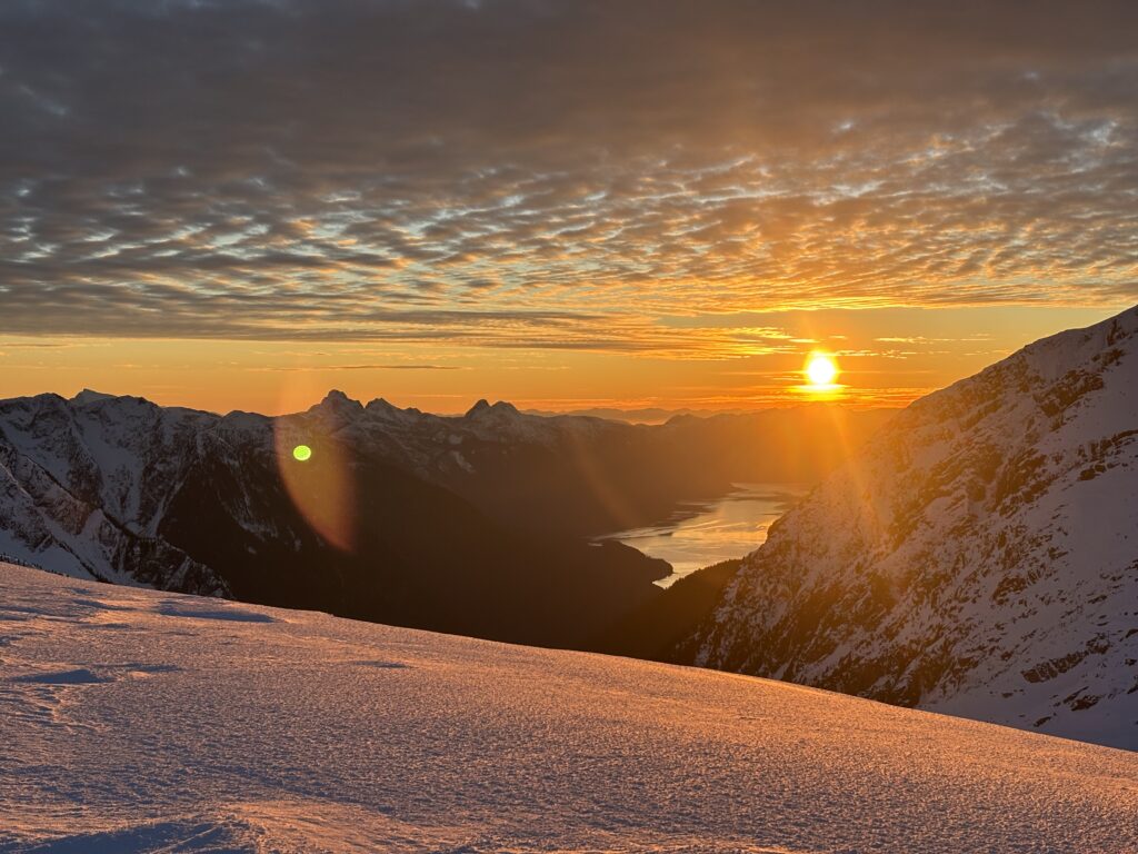
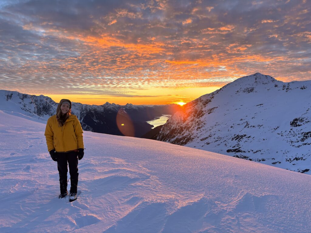
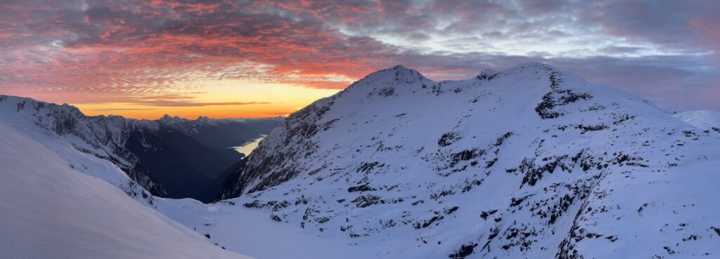
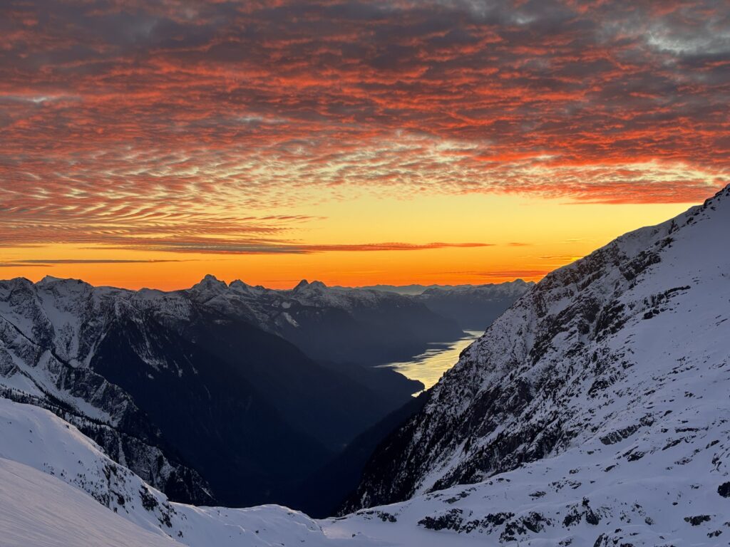
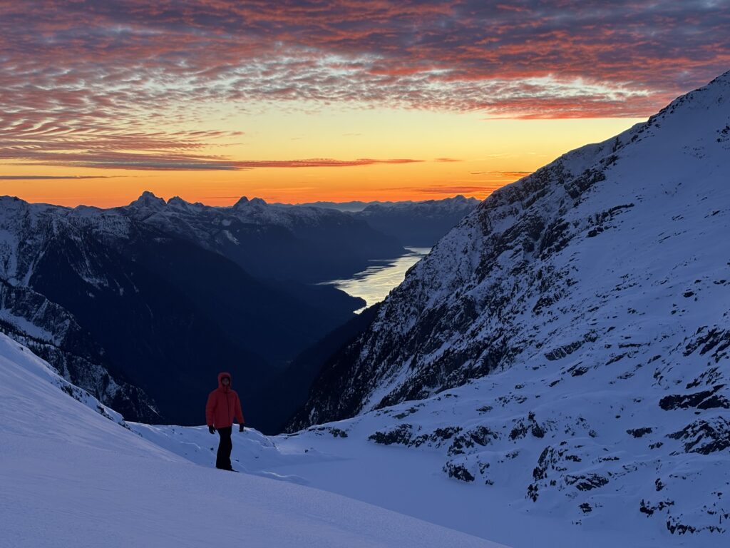
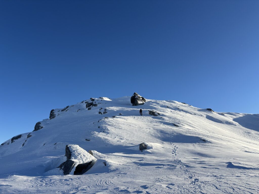
Once the sun disappeared over the horizon, we settled in for an hour of dinner cermonies; boiling water, cooking food and pretending to be warm. By 7pm we were wall smushed into the tent and I promptly passed out until the 6am alarm came around. We slowly wormed out of bed and after finessing our way into frozen boots we were once again summit bound. The remainder of the ridge line did finally appear to be the open terrain the topo had promised and we walked with ease across the firm wind blown ridge line. I had to stop a dozen times to take in the various stages of the sunrise and the colours were truly phenomenal.
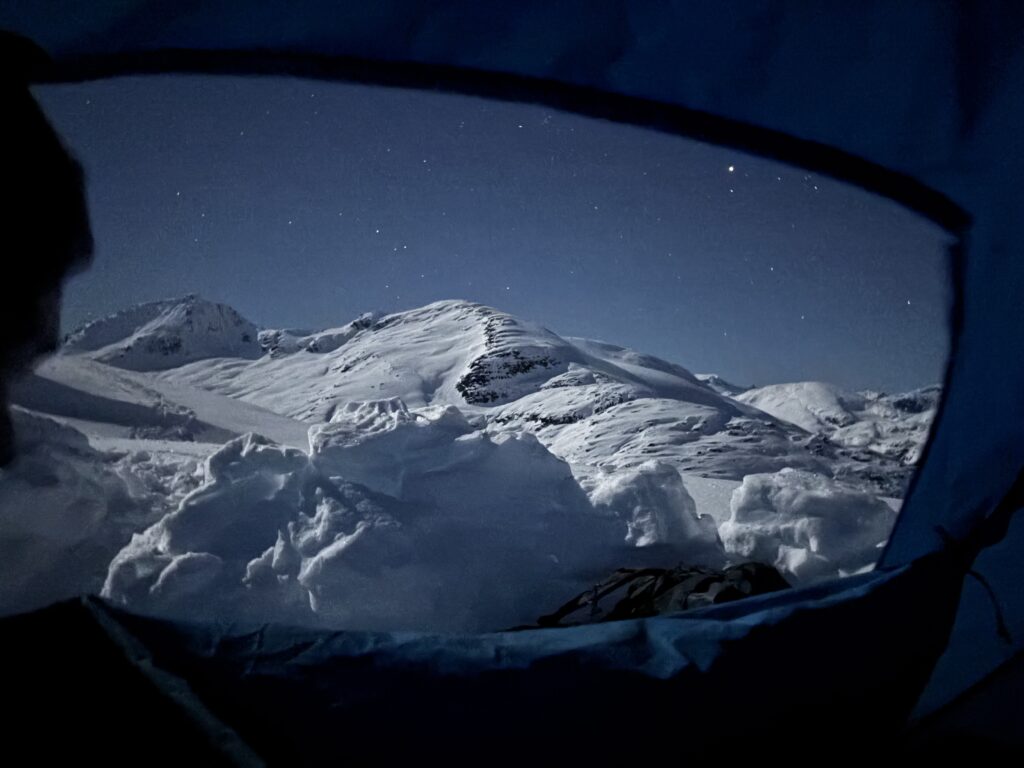
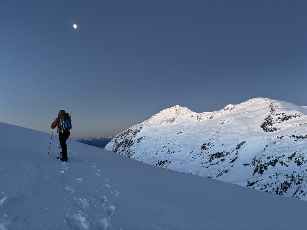
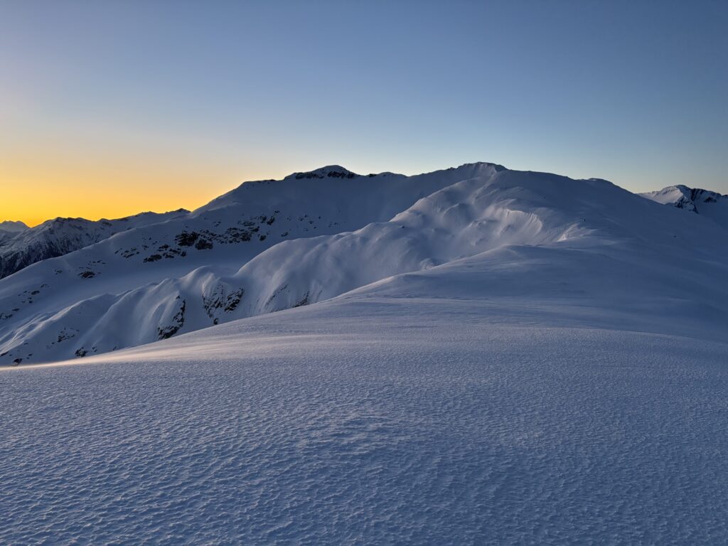
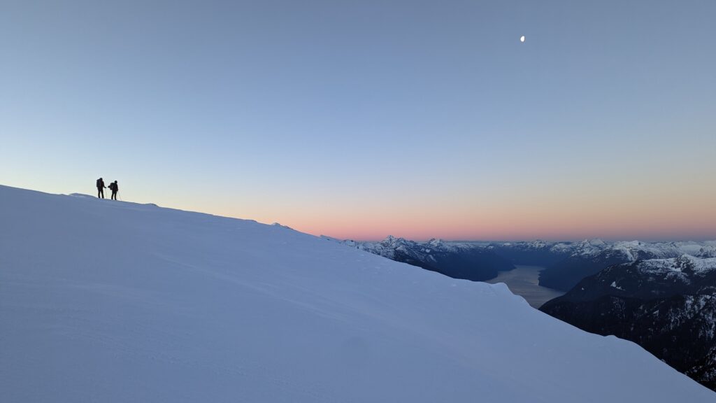
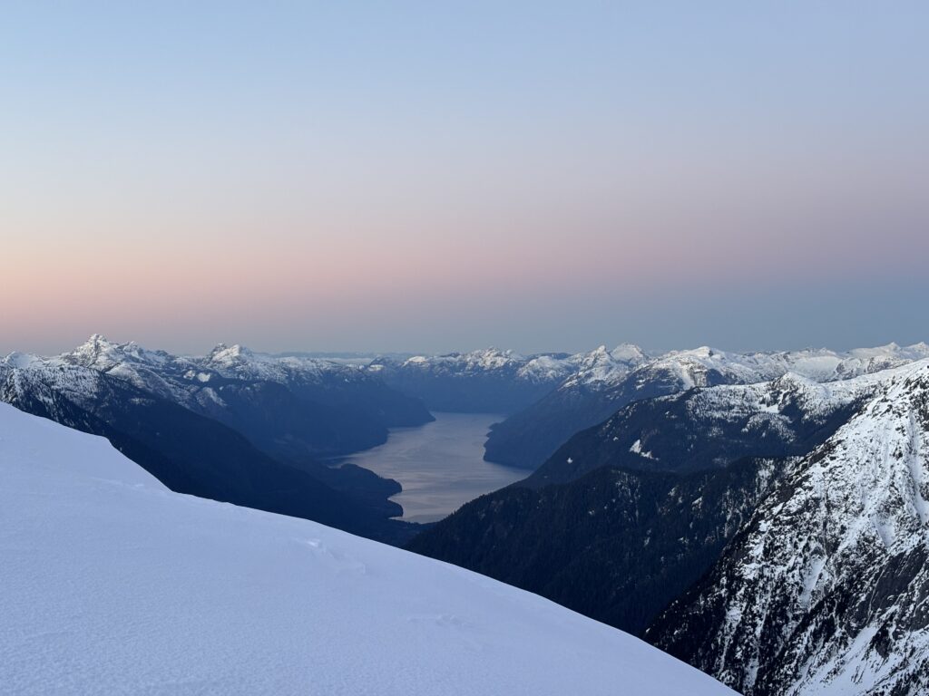
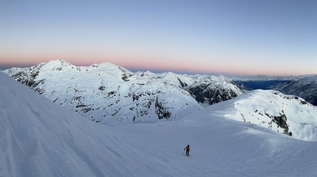
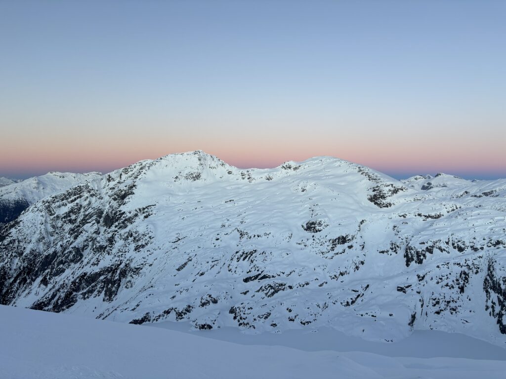
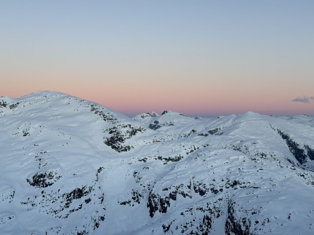
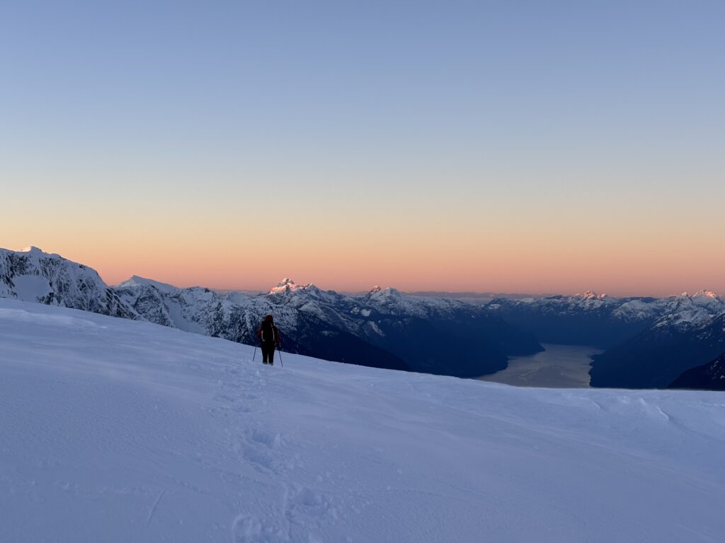
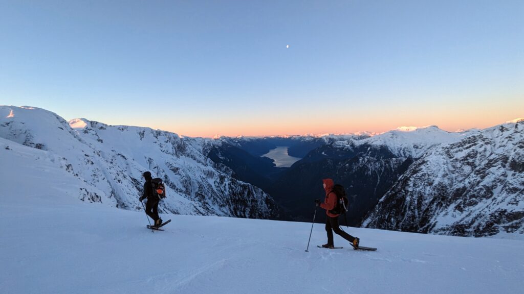
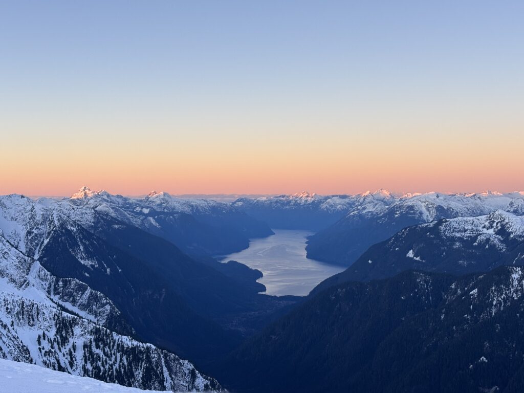
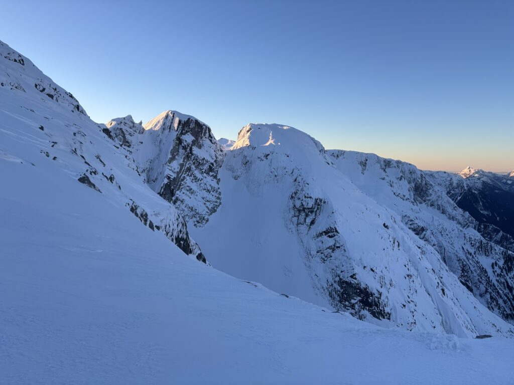
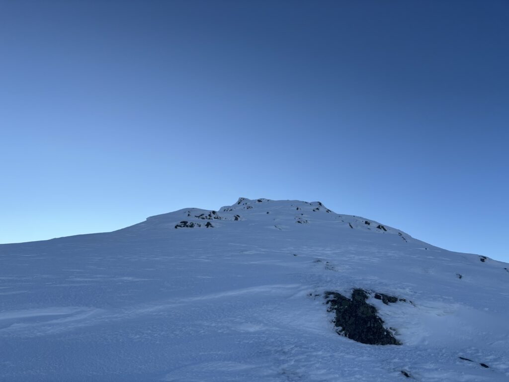
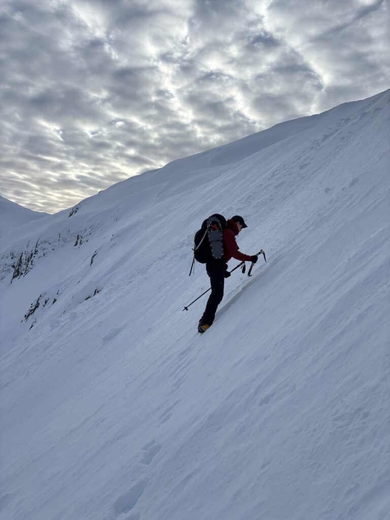
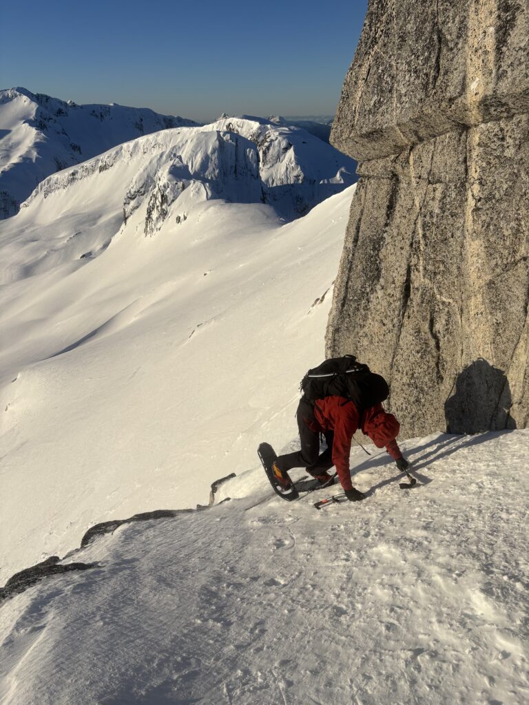
We had no difficulties reaching the false western summit and paused at the top to bask in the sun. The remainder of the route also looked straightforward, but we ran into one 8m impasse on the ridge and had to do some technical snow shoe downclimbing on a narrow ramp to bypass it. From there it was a short section of steep snow and we had reached the true summit at last. I had vastly underestimated the effort to reach Abandoned Peak, but it made it all the worthwhile.
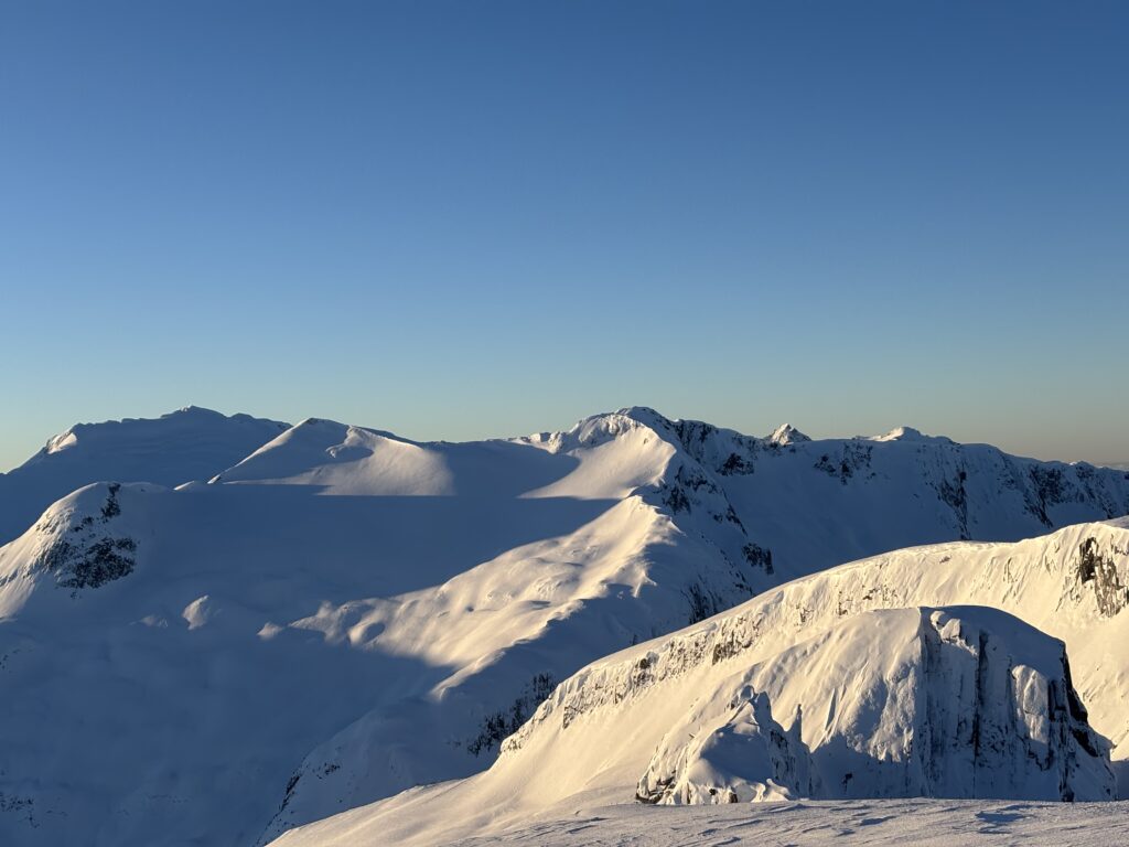
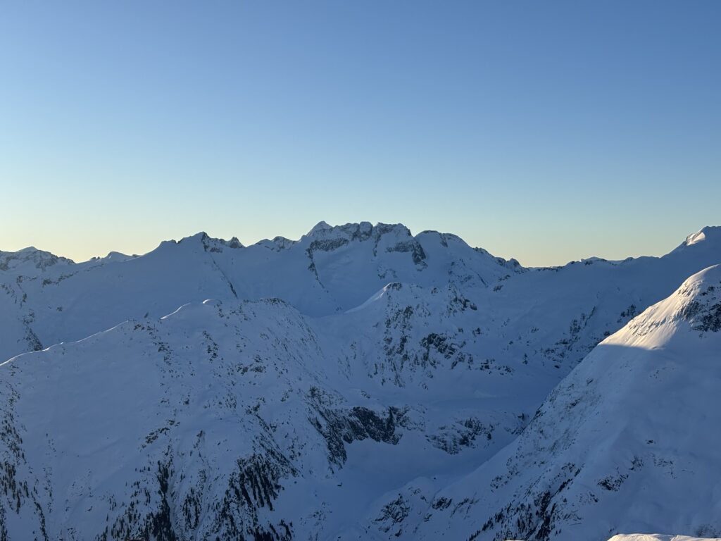
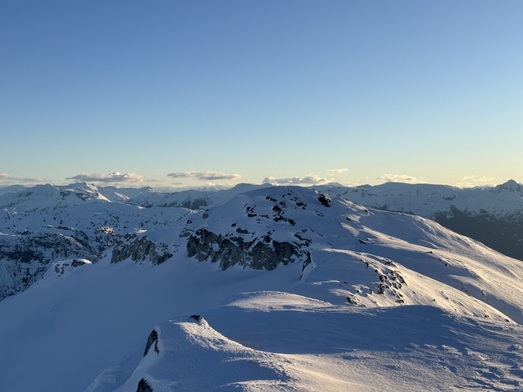
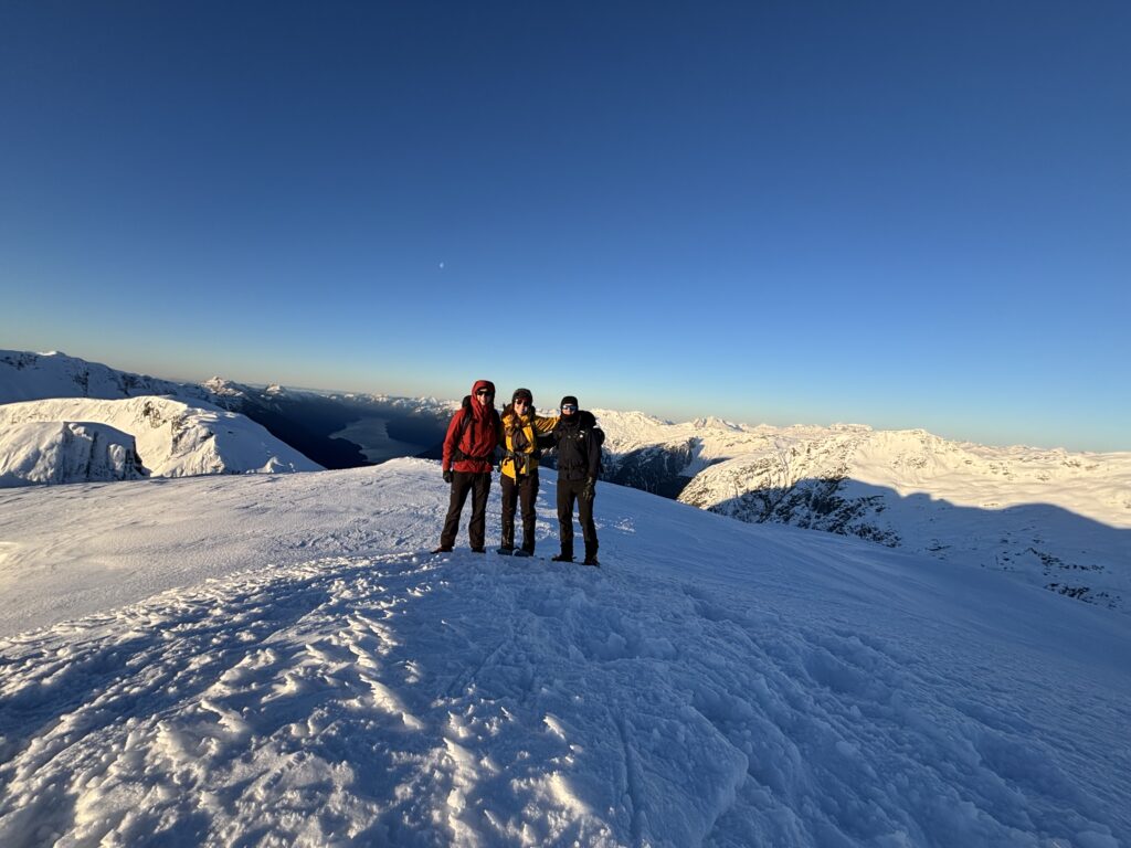
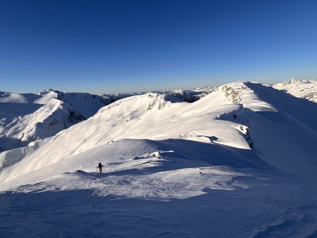
The wind blasted summit eventually encouraged us off and we retraced our steps back up to the false summit. It was about 1 hour return to our camp where we boiled some water and tore everything down. Now with our once again heavy packs, we booted down the slopes and into the old growth forest below. In an effort to avoid that awful cutblock bushwhack again, we decided to try the intact stand of forest at skier’s left on the way down. I had a feeling it was intact because it was bluffy, but there’s only one way to find out.
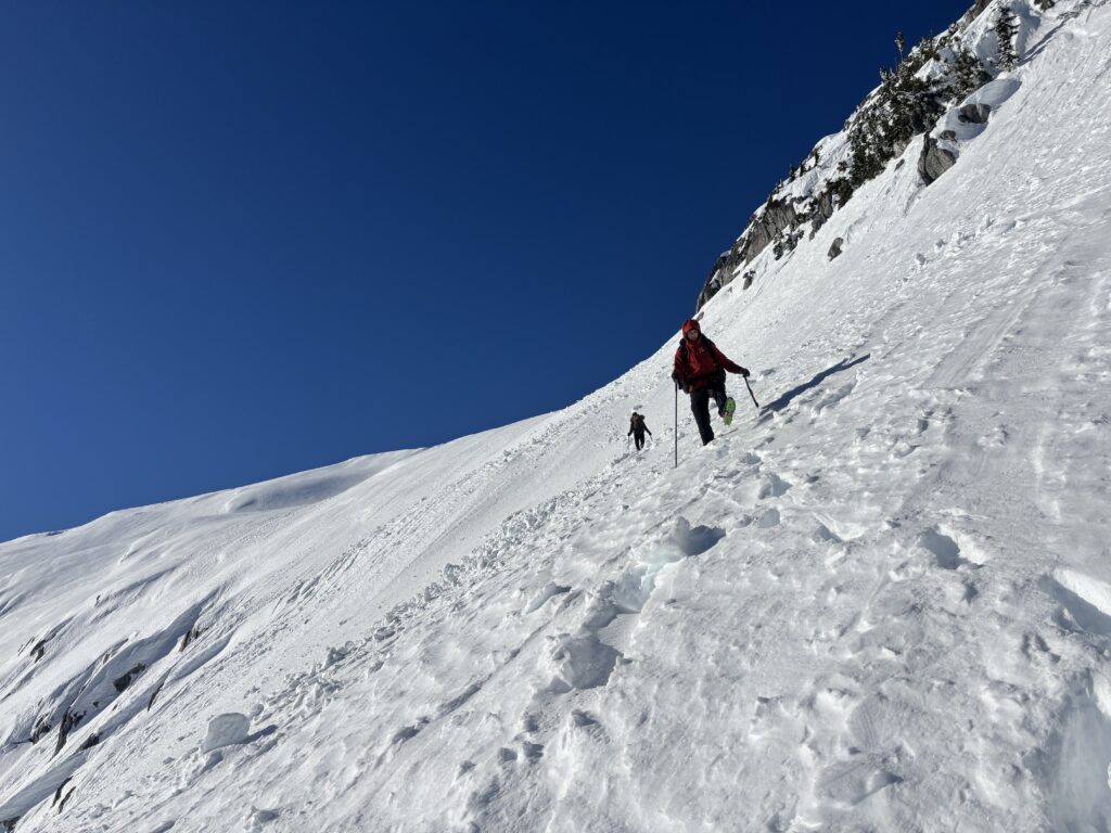
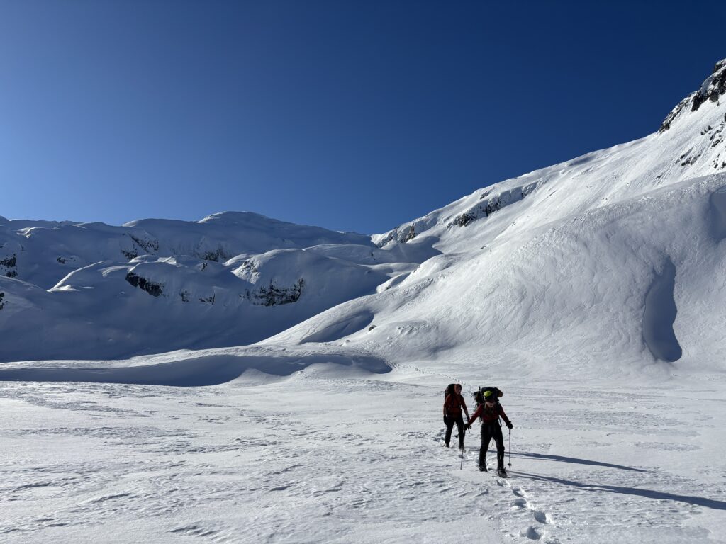
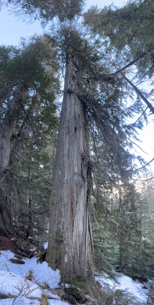
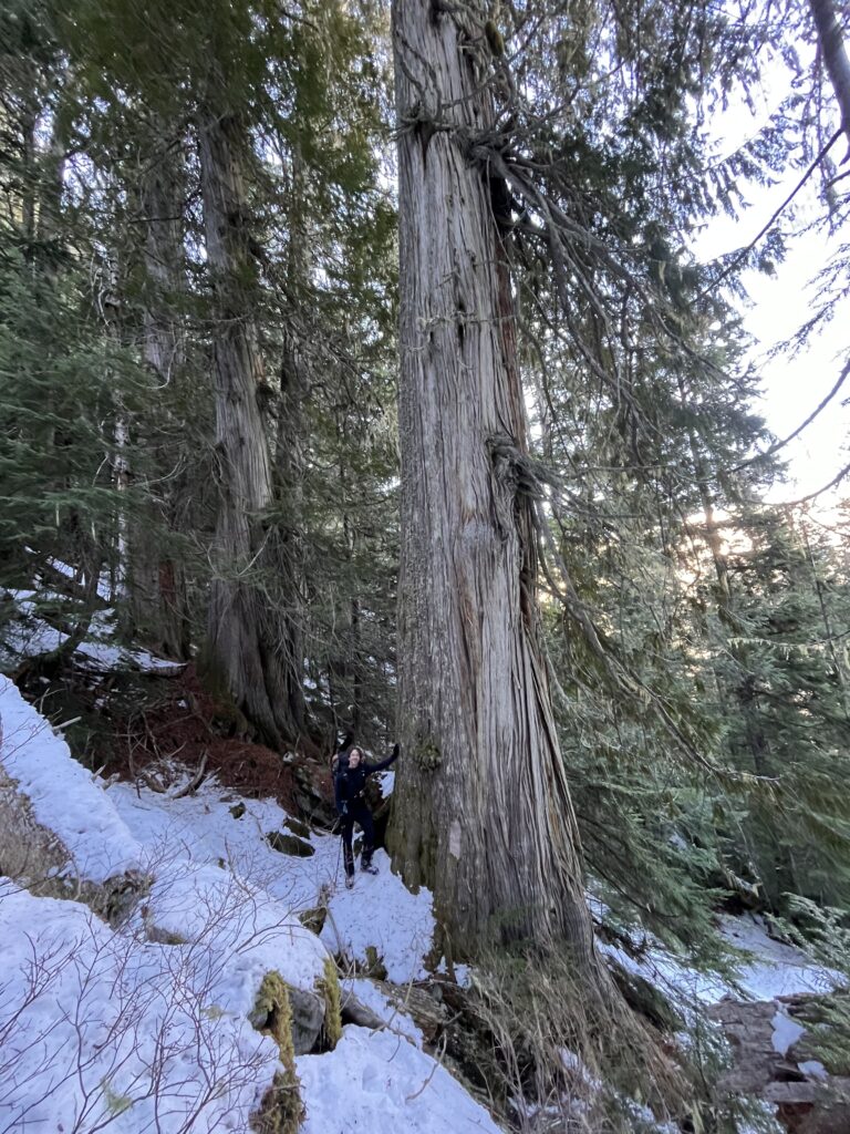
Sure enough the first 1-200m down was a pretty rough bushwhack but eventually the bluffs gave way to open forest. From almost the top of the cut block to the bottom we managed to avoid any of the torture of our previous route. It was a bit disheartening to realize we could have tried this on the way up, but better to have loved and lost then never loved at all (I don’t think that applies here, but you get the idea). Now we negotiated the deadfall laden forest below, but it was bush free and we were on the road before we knew it. 4km later and the truck blurred into site. Back in time before sunset!
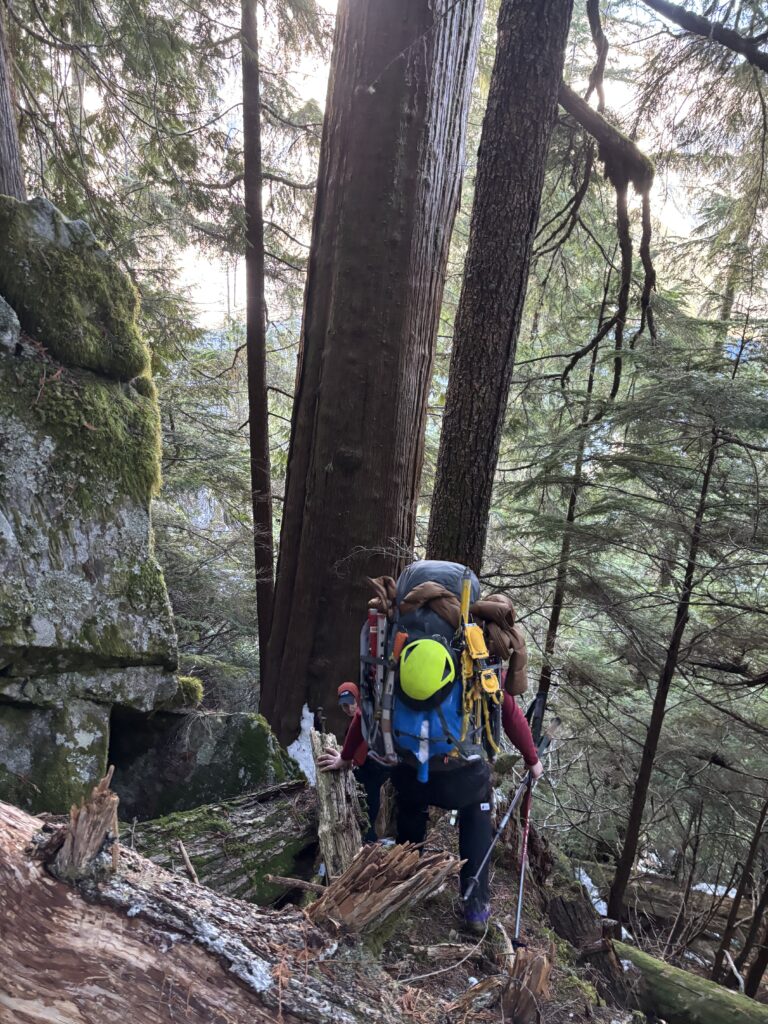
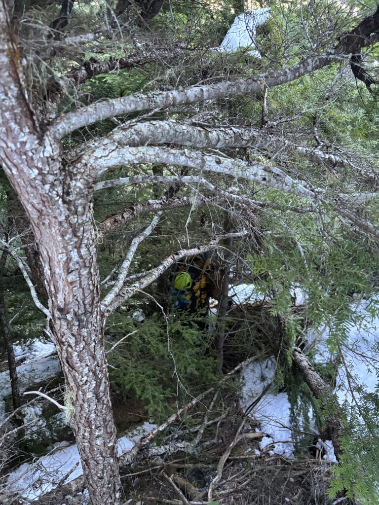
We spent the rest of the drive scoping out newly formed ice lines and discussing which cheap restaurant was going to be accepting our cash in Squamish. Another solid adventure becoming a core memory!
You mentioned the “false northern summit”. On Bivouac and BC Basemap it looks like the false summit is west (not N) of the true peak. Is the location on Bivouac correct, or am I confused, or both?
Hey Glenn, you are correct it would be the false western summit, I had my directions mixed up!
Such an awesome trip and great write up! Definitely a bucket list item.
Photos of the big trees, sunset and sunrise are spectacular. Good job.