Elevation Gain: 829m
Distance: 7.3km
Total Time: 3 hours 4 minutes
Date: January 11th, 2025
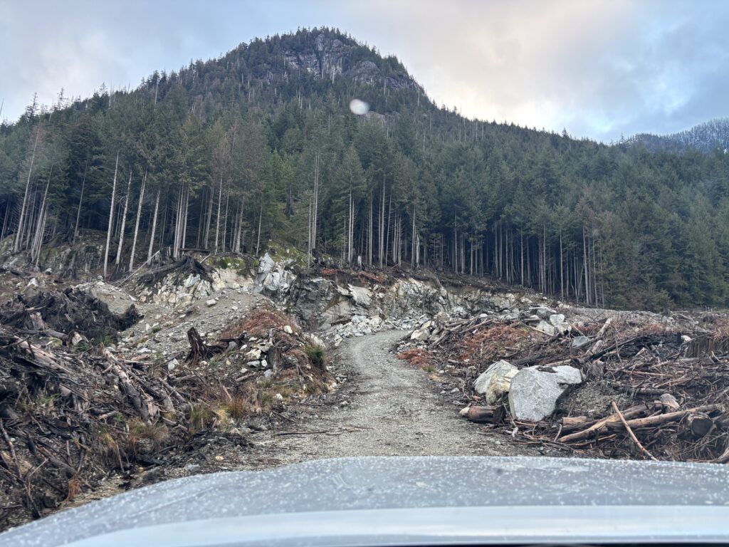
Box Canyon Peak is rather small summit in the Rainy River Valley that for one reason or another I just felt inclined to visit. The nearby Mount Varley or Tetrahedron Peak see significantly more visitors, but I wanted to spend the day exploring something less seen. Adding to that, I needed a small outing as I’d be going on a bigger snowshoe mission to Thompson Peak the following day. There’s an old pipeline road that runs of of the way to a col on the southeast side of Box Canyon Peak and I figured I could use that to avoid any bush thrashing.
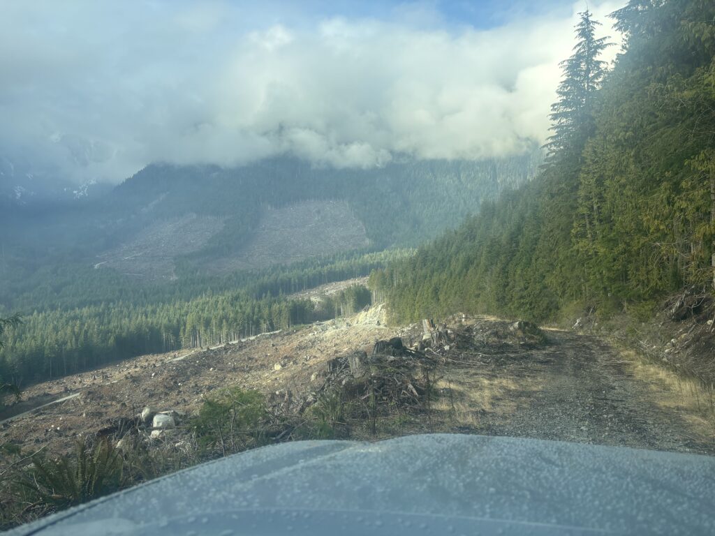
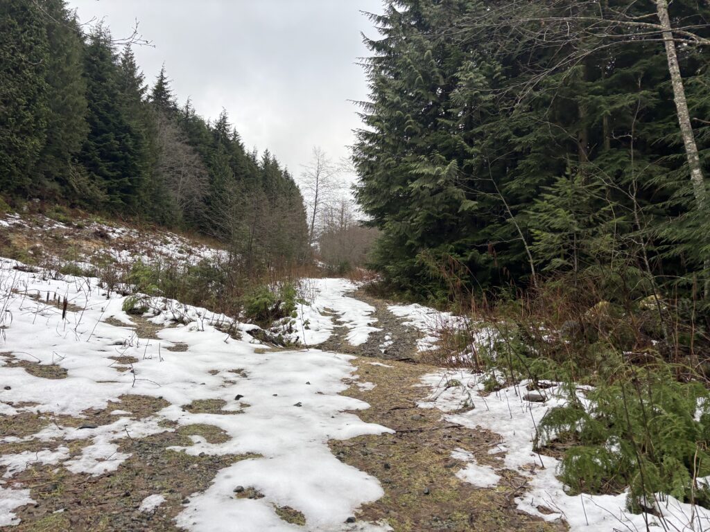
I left Vancouver around 6:30am to catch the first ferry and made it on without issue. The next hurdle was the Port Mellon security gate, but they gave me no troubles and I was soon driving down the Rainy River FSR. I reached my intended spur road and turned off; climbing to about 600m before hitting snow.
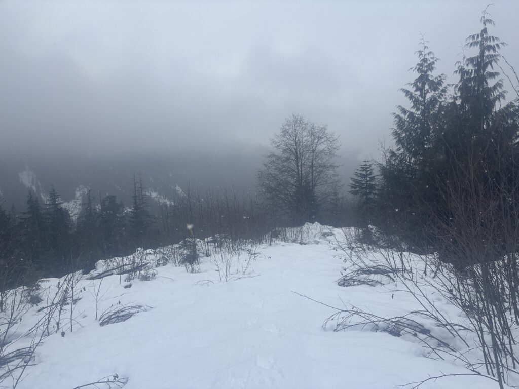
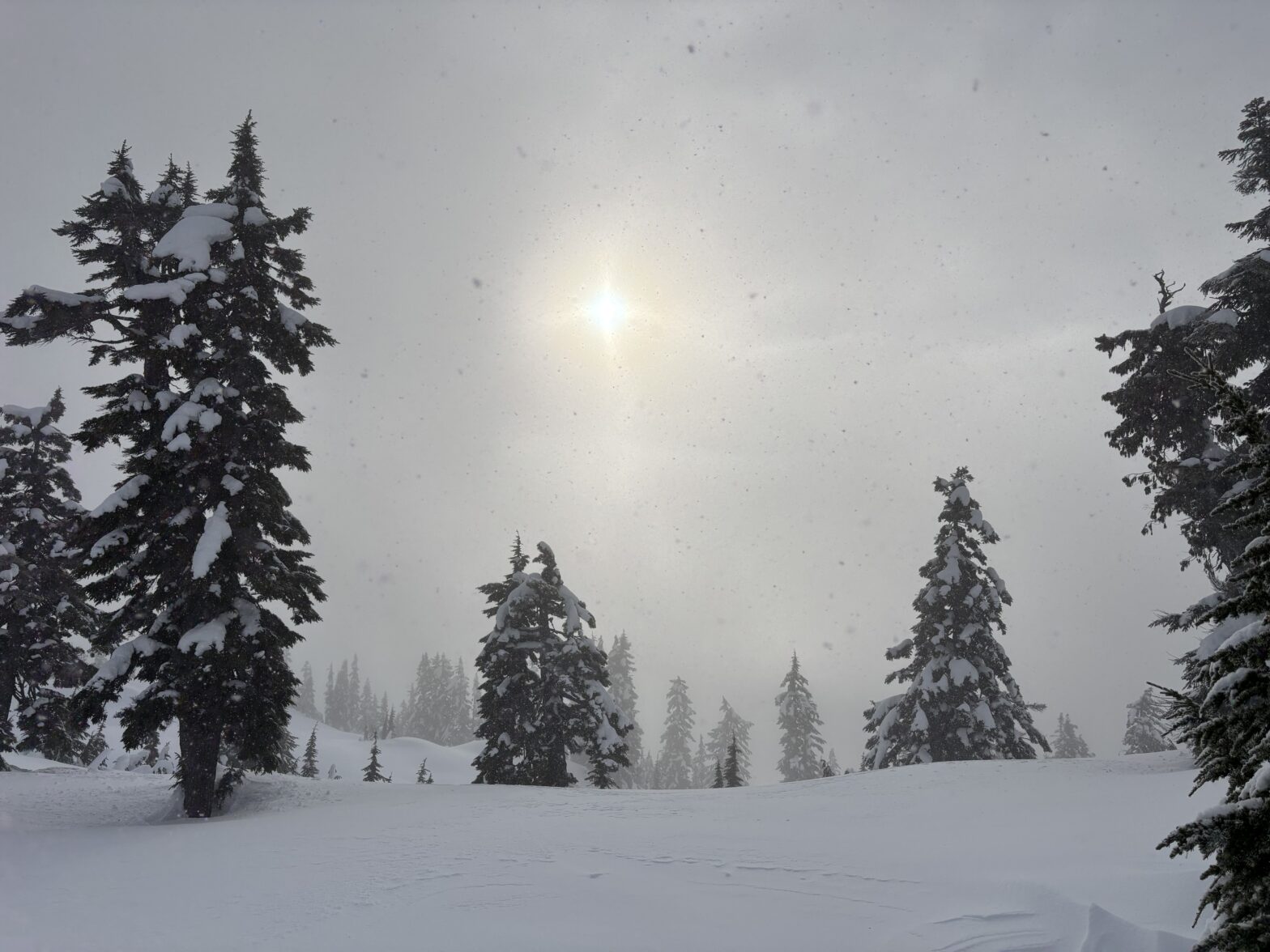
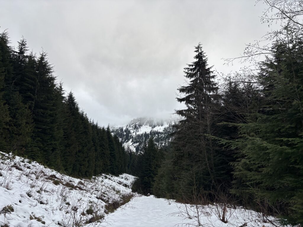
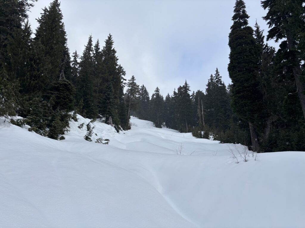
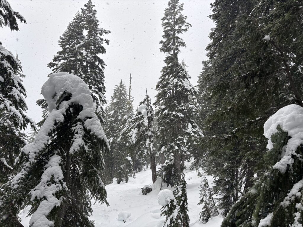
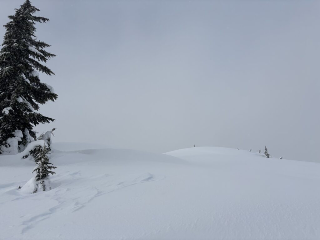
From the truck I was able to keep snowshoes off until reaching a pipeline right of way at about 800m elevation. I swapped gear and then just booted straight up to the col with no bushwhacking to speak of. The rest of the way to the summit was through a very steep section of trees and then finally open ridge line. Sadly, the clouds obfuscated all of my views but it was nice to be out anyways.
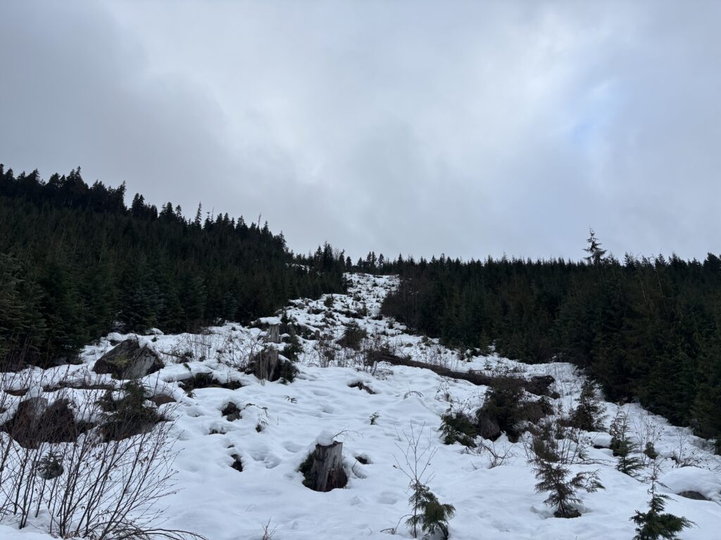
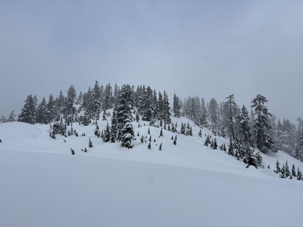
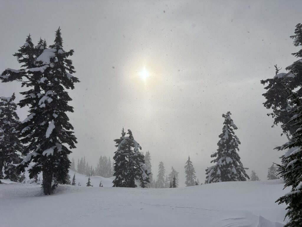
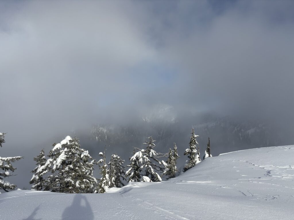
I waited around for 30 minutes or so to see if anything would give, but I only caught fleeting views of Mount Varley. With no end to the clouds in sight, I returned from the summit and followed my tracks back to the col. The final section was an easy boot ski down the pipeline right of way and then a quick walk down the road. I had a bit of service at the truck and realized I might be able to make the next ferry in an hour from now. I rushed all the way to the ferry terminal only for it to be cancelled. The saving grace was the coffee shop being open for once and I could kill some time relaxing. A worthwhile outing all things considered!