Elevation Gain: 969m
Distance: 10.03km
Total Time: 3 hours 44 minutes
Date: December 5th, 2024
For whatever reason on this particular Thursday I needed to escape work and feel the sun on my face. The short days of shoulder season coupled with a busy work schedule all but guarantee that the days begin to blur together. I wanted to break out of that and decided to take a last minute half day off to catch the last of the good weather for the week. With such a small time frame, my options were limited, but I had my eyes on Pattison Peak in the Norrish Creek Valley. It looked like I could drive most of the way up and then traverse a short ridgeline to the summit. I may even have time to hike up to MacNab Peak as well.
My plans were at the mercy of the logging roads and so it was to no surprise when I drove down Norrish Creek and discovered the access was shut down. The road I was planning to take had a gate with a closure expected just 2 hours later. There’s no chance I was going to risk that, so I continued on to the backup road I had mapped out. Naturally, the alternative was totally impassible at the beginning with a large tank trap.
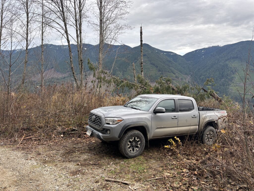
This looked like a total shut out, but I searched the map anyways and found a third option just before the water treatment plant about 8km down Norrish Creek FSR. This road looked like it might take me pretty high. The downside is that it was putting me quite far away from Pattison Peak now and making MacNab Peak look like the better option. Both peaks are nearly identical; heavily forested and logged with similar prominence. Armed with a third option, I continued down the road and onto the spur access and sure enough the road took me all the way to ~550m. I could have driven further but the water bars were morphing into tank traps and I didn’t need to push it.
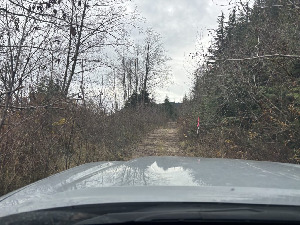
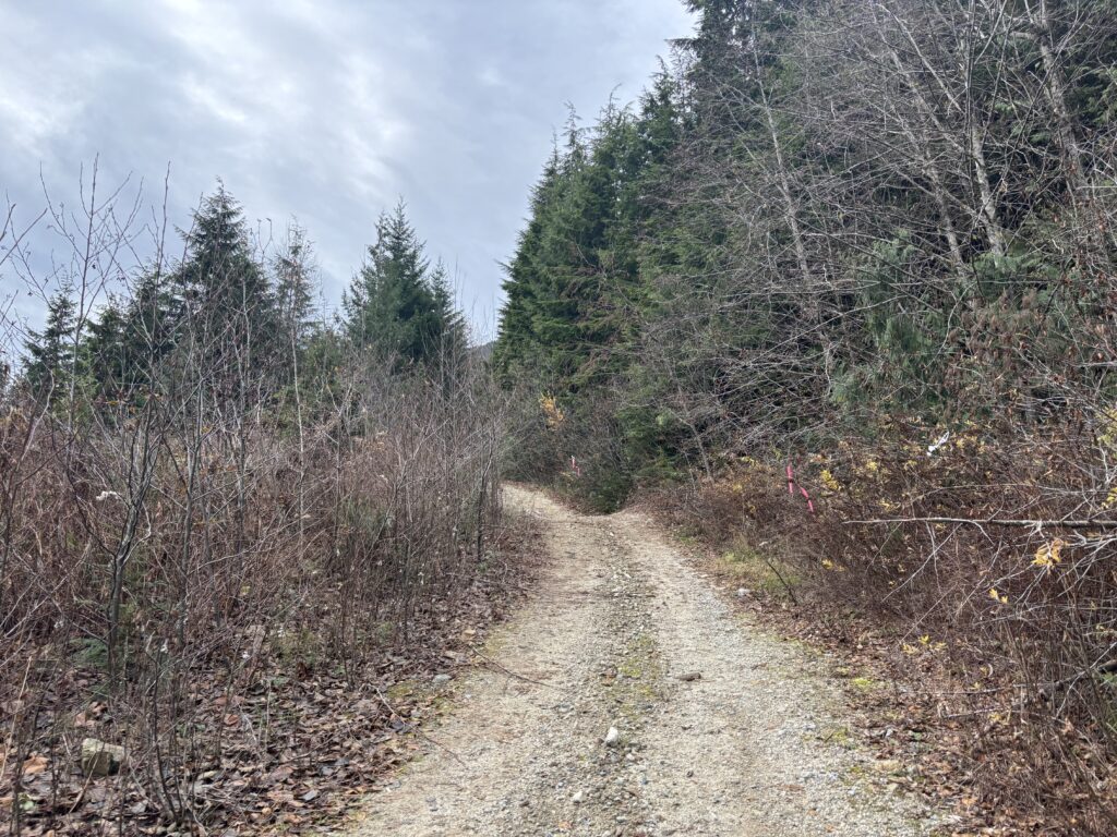
I found a small parking spot and started marching up the road. Someone had been through recently marking road boundaries, so it’s not unlikely this road improves some time very soon. Albeit at the cost of a gated entry. At about 710m I reached the end of the cleared road and walked through a massive tank trap to reach the overgrown continuation beyond. I didn’t’ need to bushwhack for too long as the next switchback gave way to surprisingly open road. That lasted for a few hundred meters and then I was forced into the trees above the road.
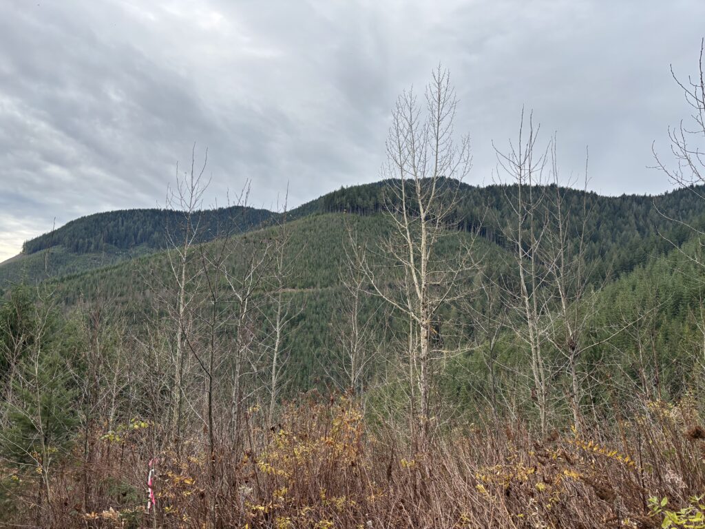
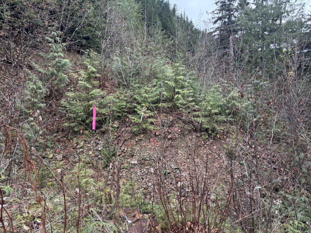
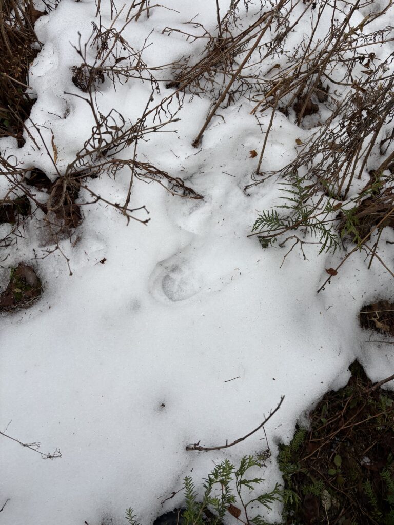
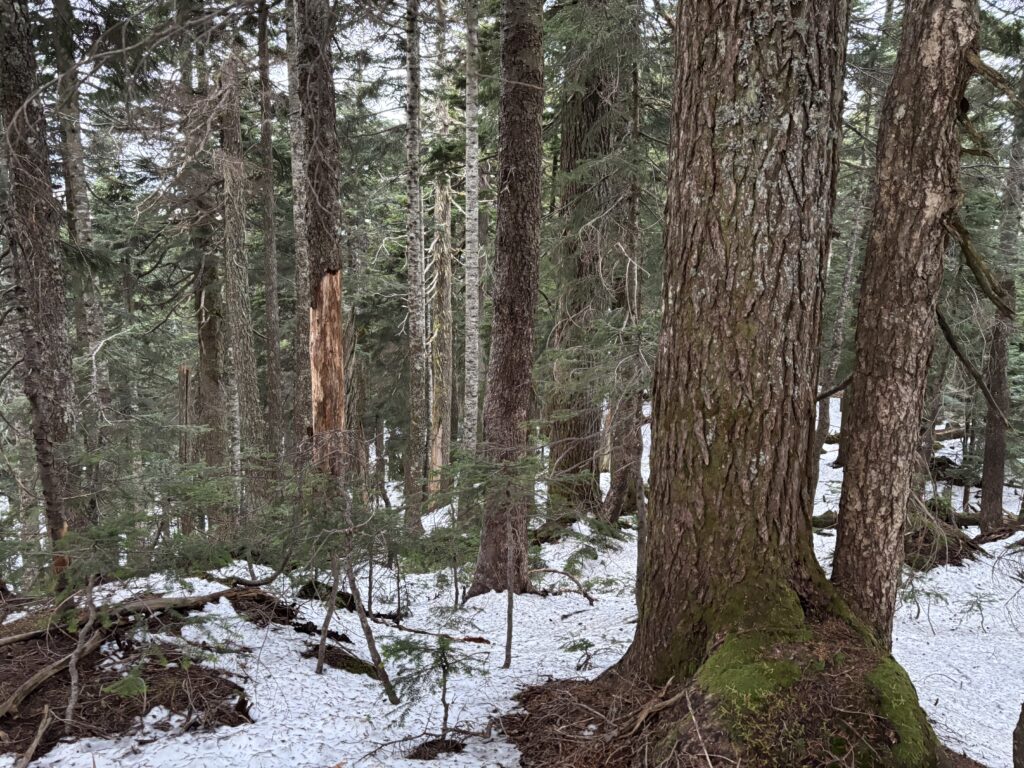
This section of ridge line was beautifully open and I cruised through without any problems despite it being second growth. The band between 1000m and 1100m turned a bit ugly with more tightly packed trees and a thin layer of snow on all of the branches. It wasn’t quite miserable, but it wasn’t pleasant either. Above 1100m the forest opened again and I reached the summit as marked on open street maps. However, according to many sources this was not the true summit. In fact, the true summit was another 900m to the north. Knowing this, I spent a few seconds at the top before pushing on towards the claimed true summit.
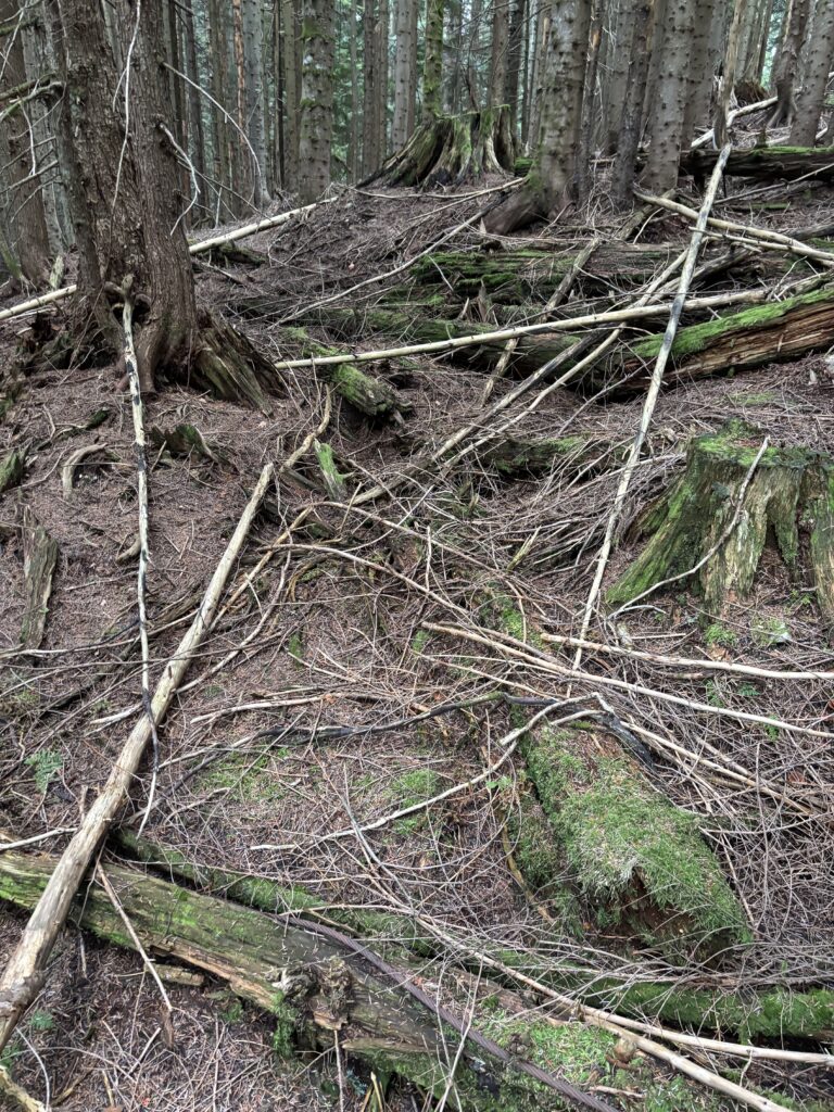
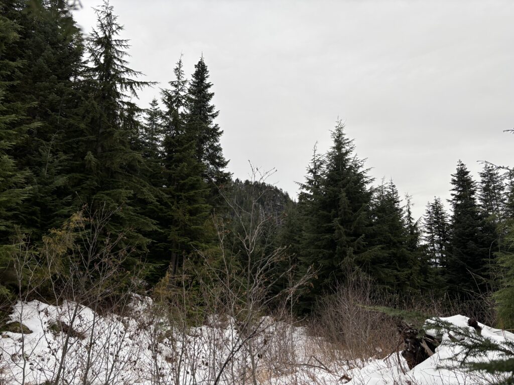
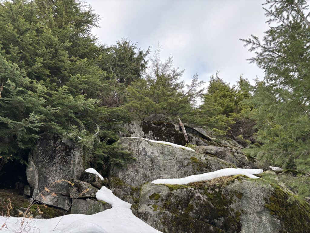
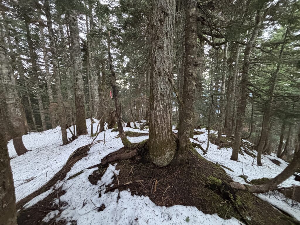
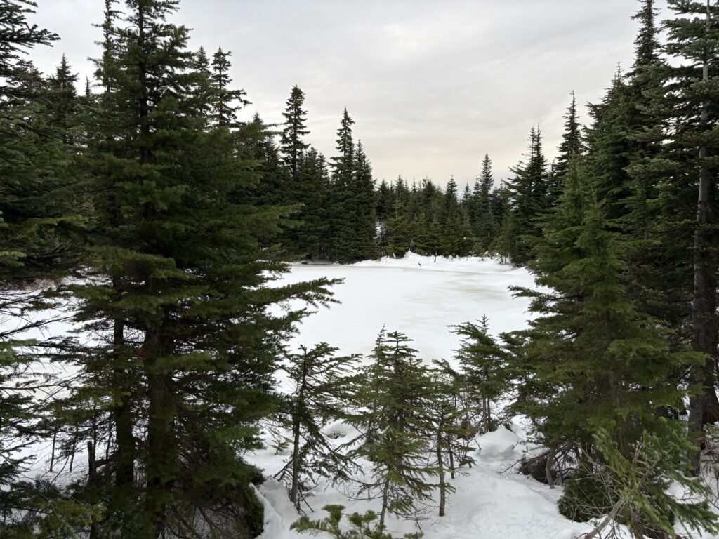
Somewhere on the connecting ridge some flagging appeared, but by now there was sufficient snow to walk anywhere really. I dropped a ways down to the col and reached a small pond where I skirted around the west side and promptly bogged myself down in a dense thicket of evergreens. Now I was a bit confused, this looked like more logging? I quickly checked my map and sure enough I had just hit another cut block. Nothing gets past the loggers out here it seems. Unlike some of the lower cut blocks, the re-planted forest here was done for profit, not aesthetics. I wrestled my way through and discovered a snow covered road. Free of bush! That was a welcome relief as I was running out of time and probably couldn’t afford a prolonged battle with re-planted trees.
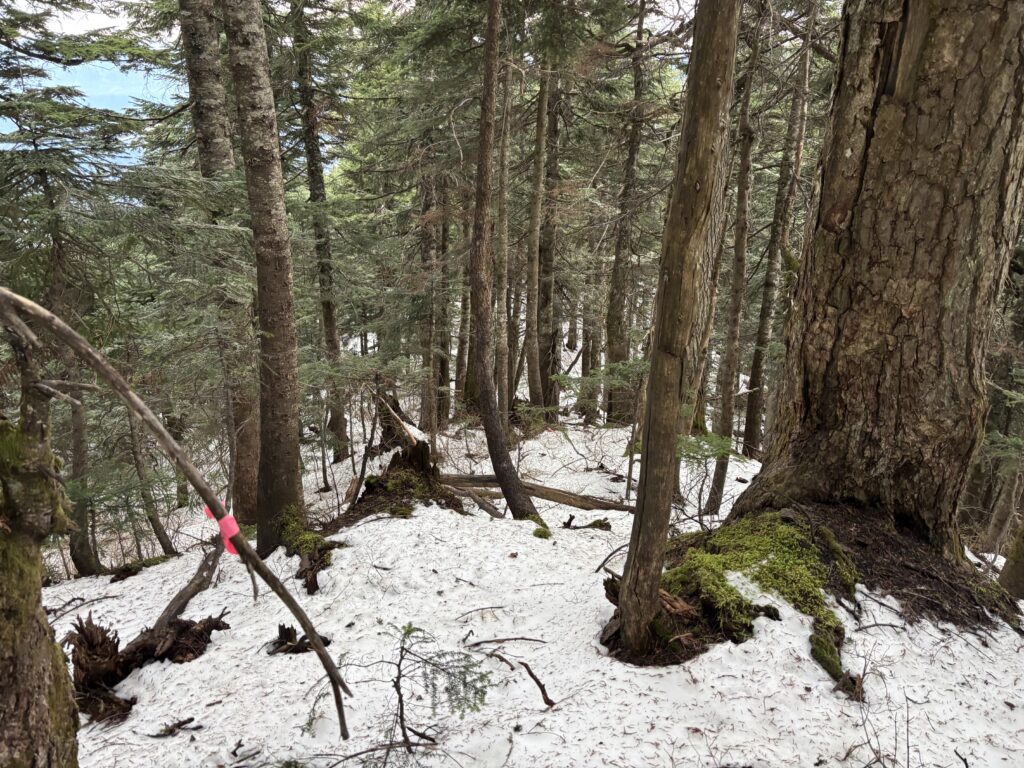
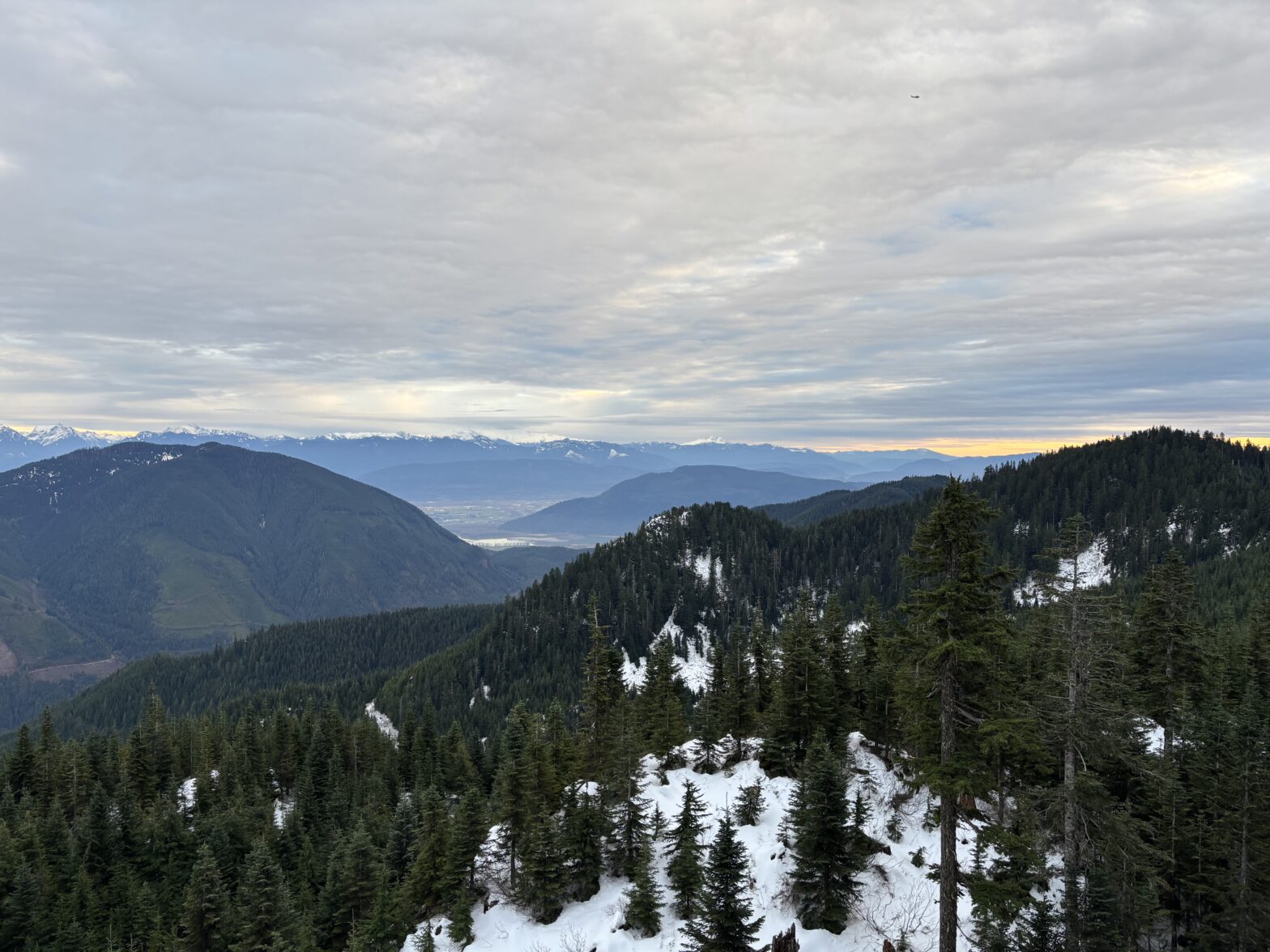
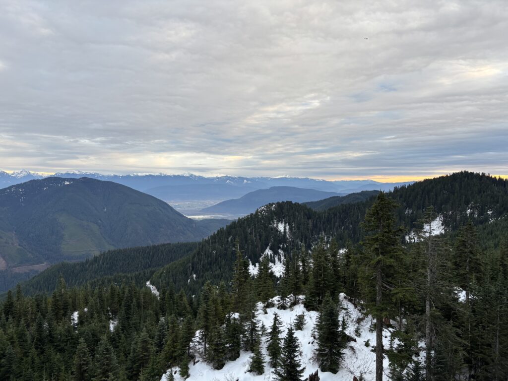
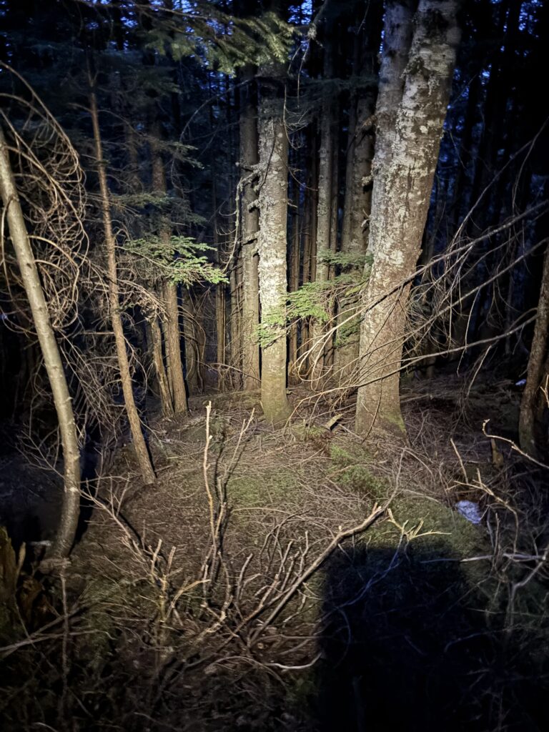
I walked as fast as my legs would allow along the road and that landed me just a few hundred meters from the true summit. A short bushwhack later and I was at the top. There was a small viewpoint, but otherwise the majority of the route had been in the trees. I took a few photos and rushed back towards the road. I made it most of the way off of the false summit before I finally had to put the head lamp on. It wasn’t so bad in the forest, but the road bushwhack was atrocious and it was a relief when I finally reached cleared road at last.
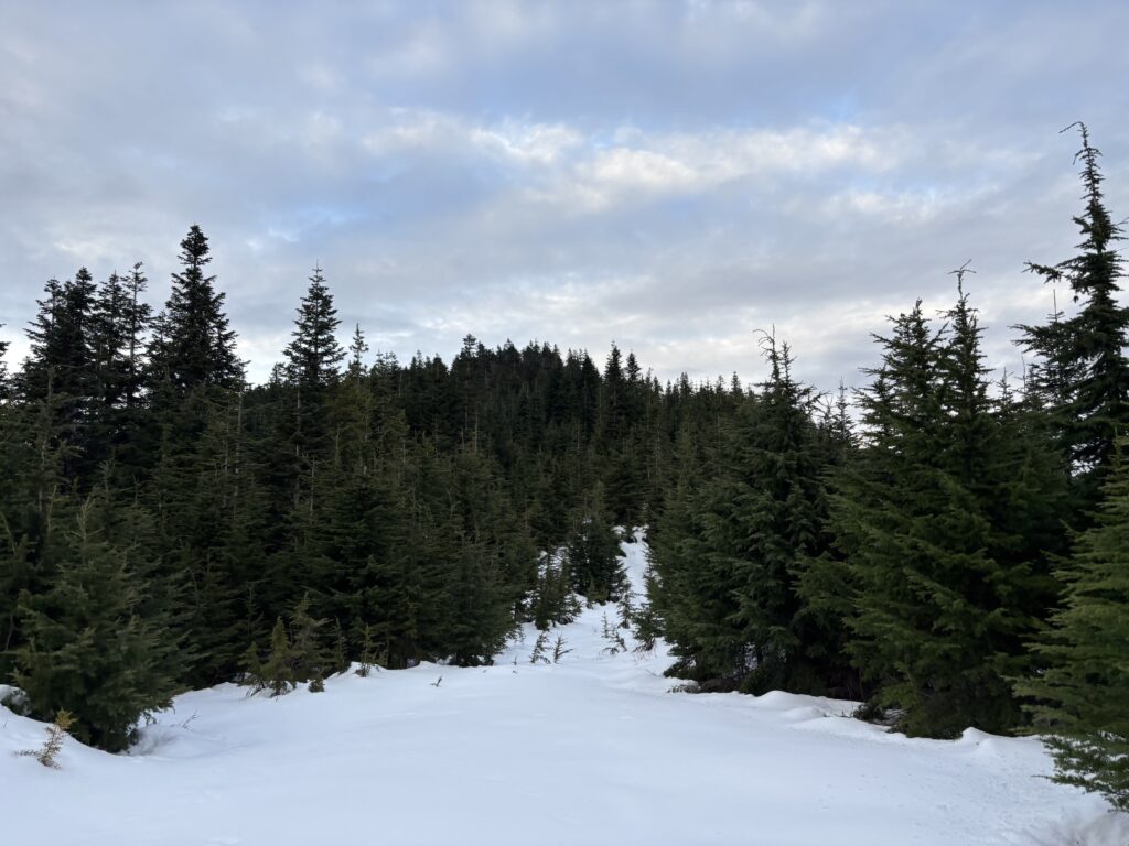

This route would probably benefit from a bit of snow lower down, but all said the bushwhacking isn’t horrible. There are some crappy sections, but it’s subdued by open forest or road walking on the majority of the route.
