Elevation Gain: 891m
Distance: 15.18km
Total Time: 5 hours 26 minutes
Date: November 10th, 2024
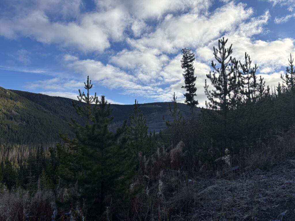
Yet another long weekend was tempered by foul weather threatening any possibility of getting out. Thankfully, a brief Sunday window of clear skies around Lytton and Princeton offered some potential for reprieve. The downside was that both zones were at least 3 hours driving away and have a limited number of interesting peaks. That’s shoulder season for you though. I had my eyes on Flat Top Mountain outside of Manning Park and Scarped Peak outside of Lytton. With Ashley and Andrea teaming up with me, I left the final decision to them and Flat Top Mountain was the winner. Flat Top is a heavily logged summit north east of Manning Park and it has an official trail that runs within striking distance of the summit. It caught my eye just for the chance to see a totally different area.
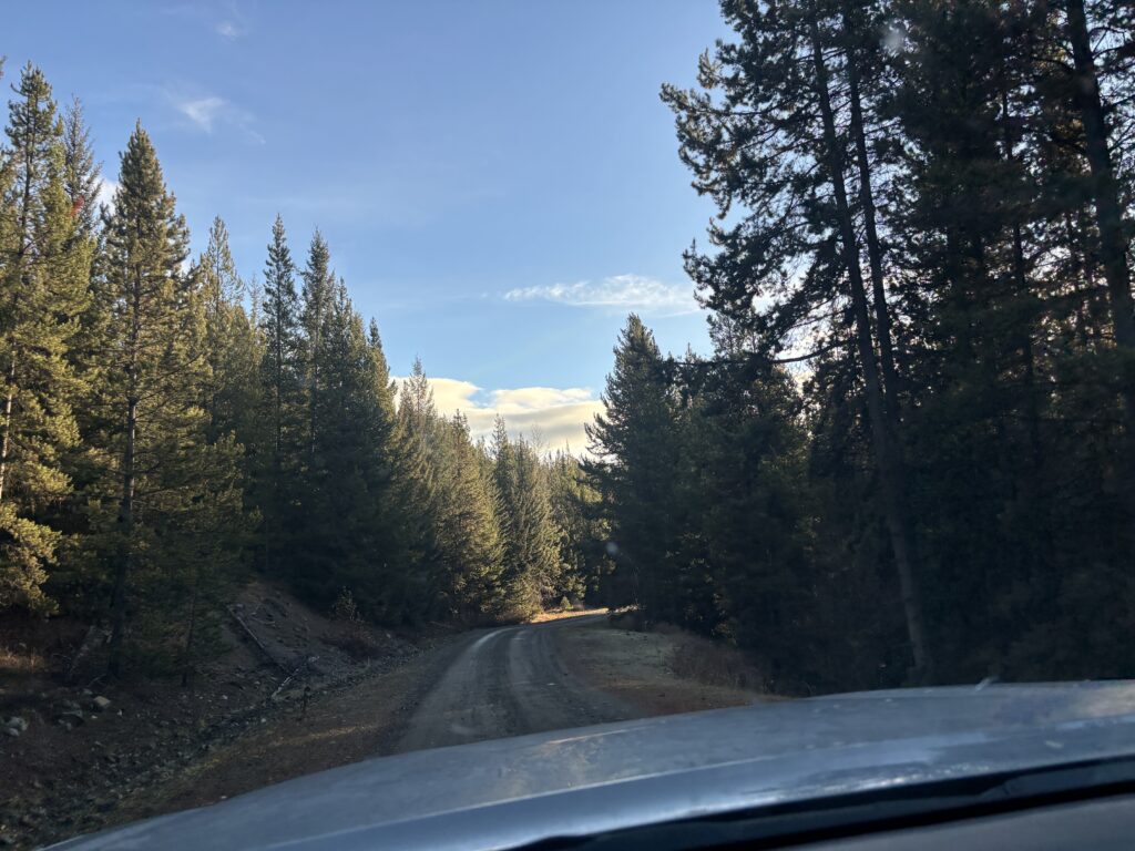
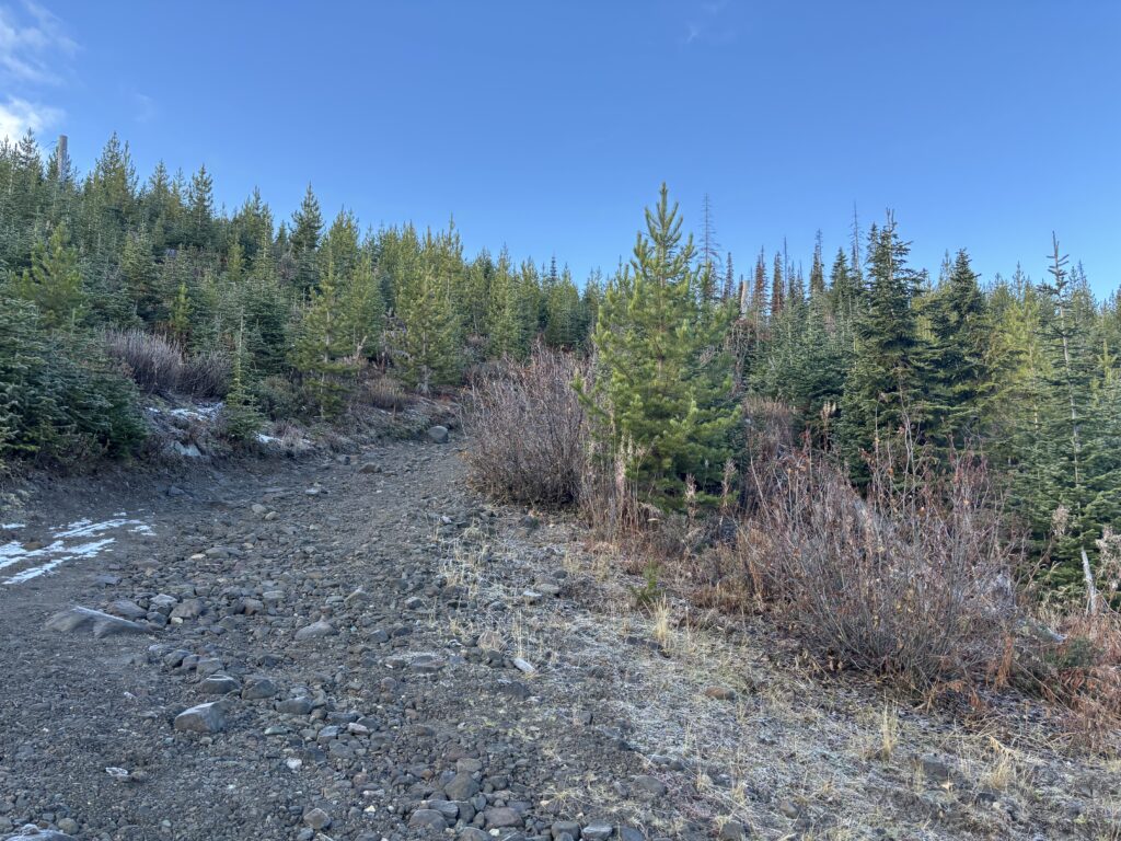
We had one back up plan: Friday Mountain, if we couldn’t drive close enough to the Flat Top trail head. Thankfully, when we commenced our drive up Placer Mountain FSR on Sunday morning, it was completely snow free. In fact, we were able to drive most of the way up the last rough spur road to Placer Lake with hardly a snow flake in sight. I skipped the last 500m of the road as upside was low compared to the downside of wrecking something on my truck.
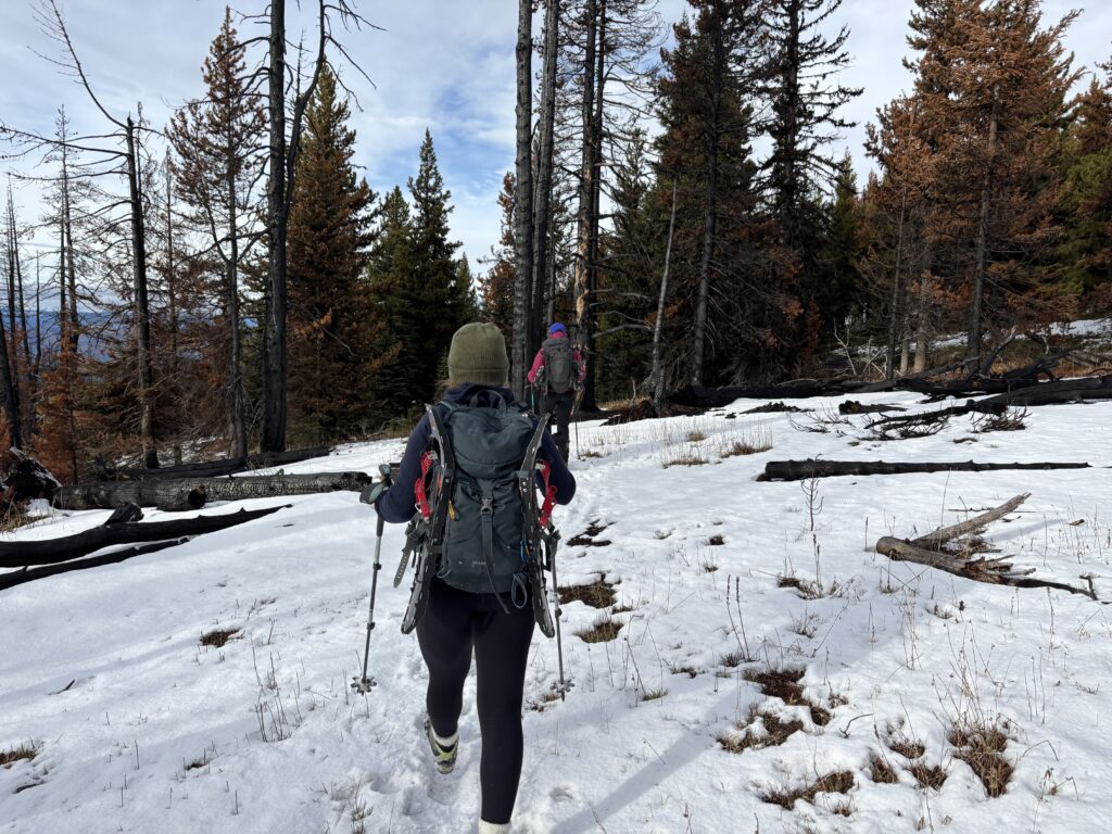
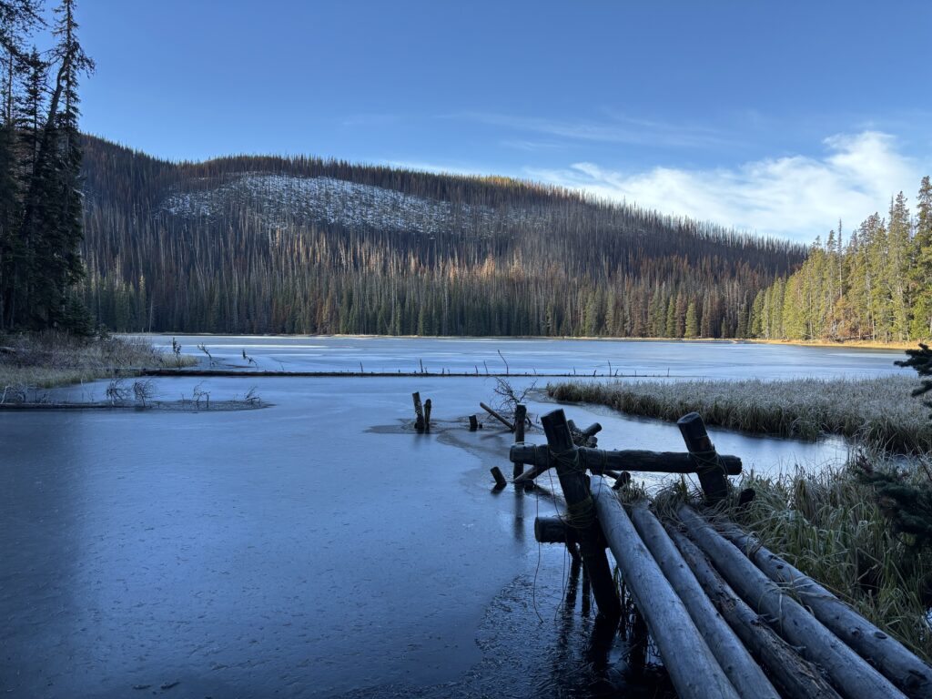
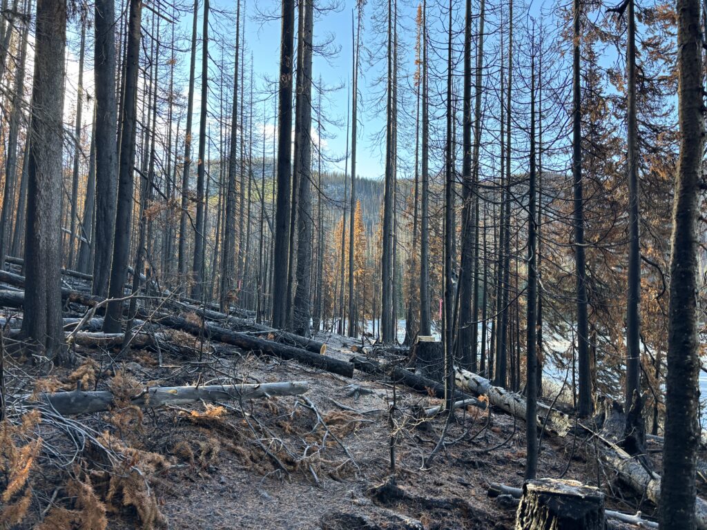
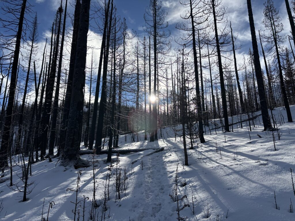
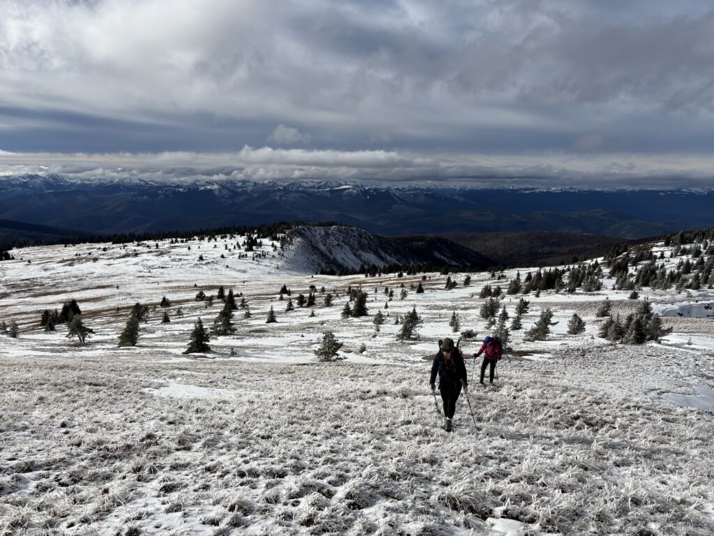
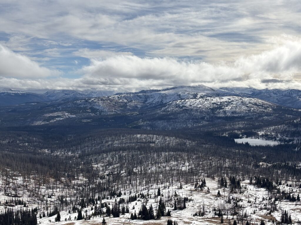
With snow shoes packed on and the usual winter gear assortment we set off up the road and then around Placer Lake. This area had clearly been ravaged by a fire recently. Thanks to some valiant trail maintenance we were spared from the worst of the dead fall. The trail eventually took us out to more open ridge line and we another party’s post holes to follow through the snowy landscape. As we traversed around to the south facing aspects the sun had largely melted out the trail and we had easy travel through.
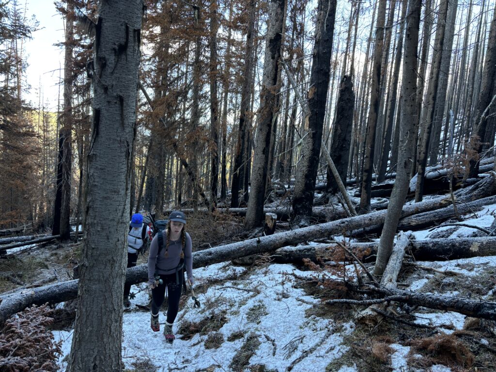
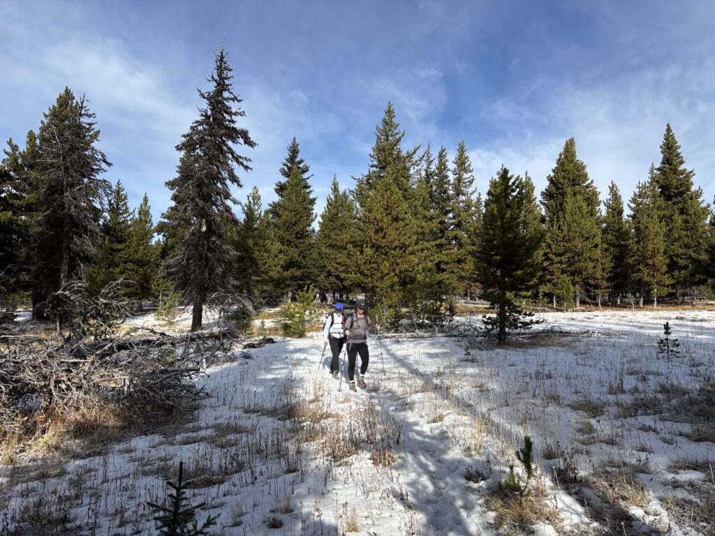
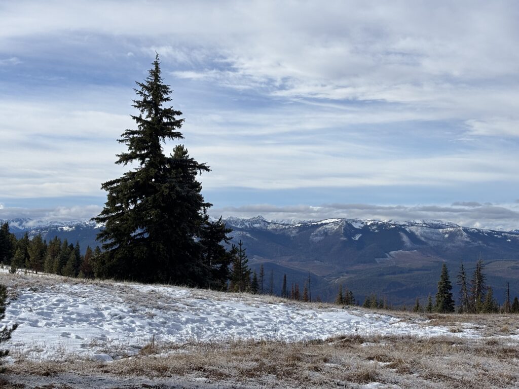
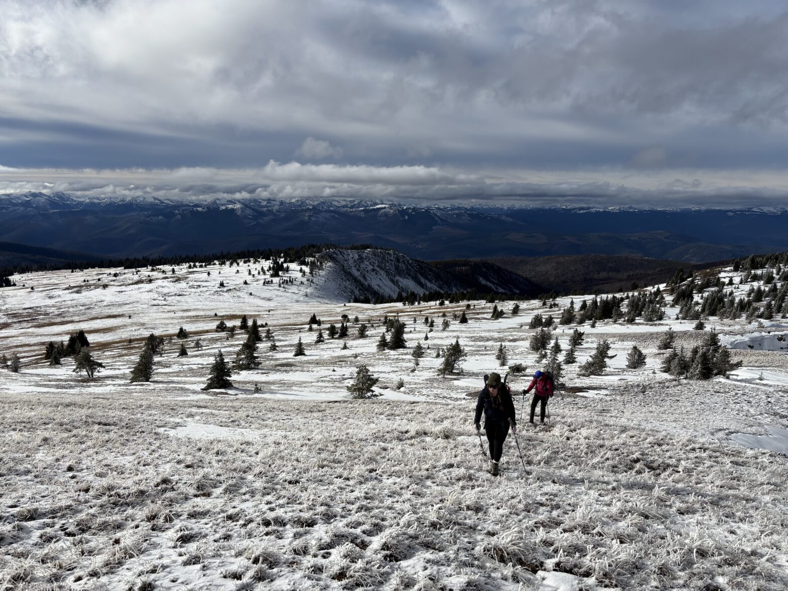
Ahead along the long ridge was one of two false summits and we traversed around them before reaching the final section to the summit. The wind scoured ridge put up only a few sections of post holing, but otherwise it was mostly a hike up to the highest point. Unexpectedly we had taken the snow shoes for a walk and didn’t end up needing them once. The views from the summit were actually quite nice, given the tame rolling nature this far east. To the south we had views of Border Lake Peak and Sheep Mountain which I had done a number of years ago. Further west were the usual Manning Park celebrities, but most of the range was obscured by incoming clouds. Also visible from the summit were the two rather tall looking sub-summits. Tall enough that I wanted to rule them out as being the true summits.
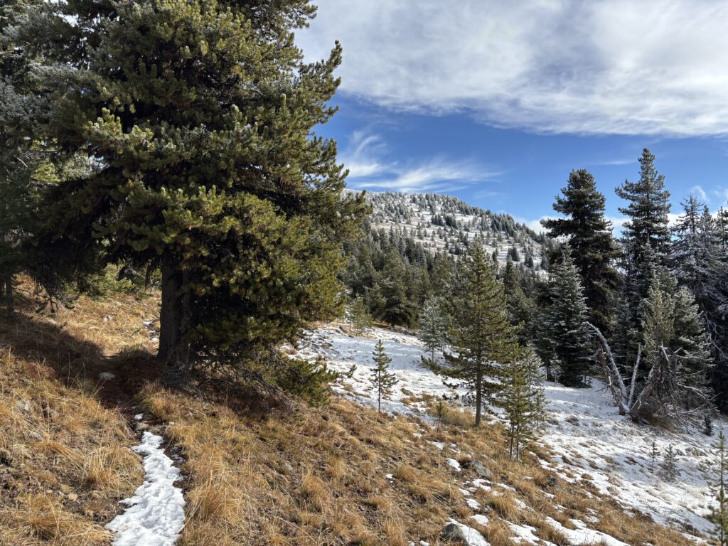
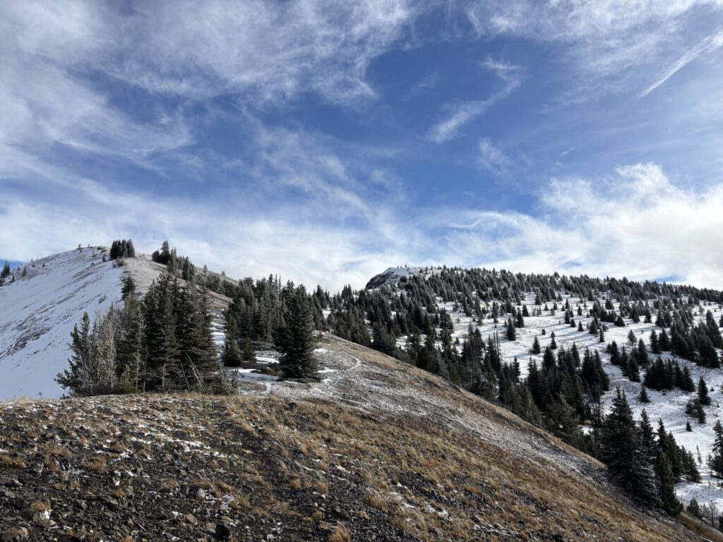
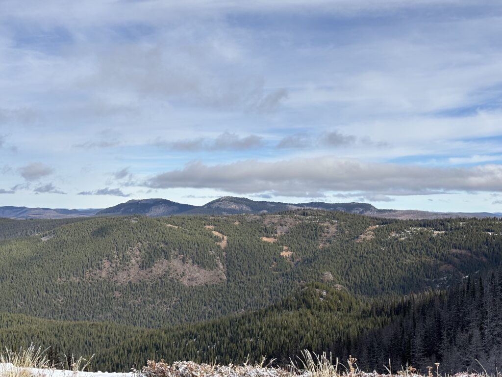
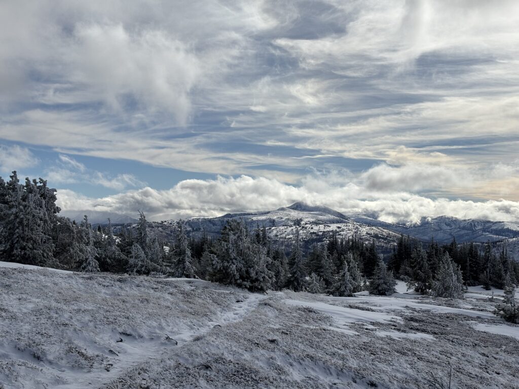
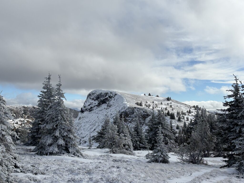
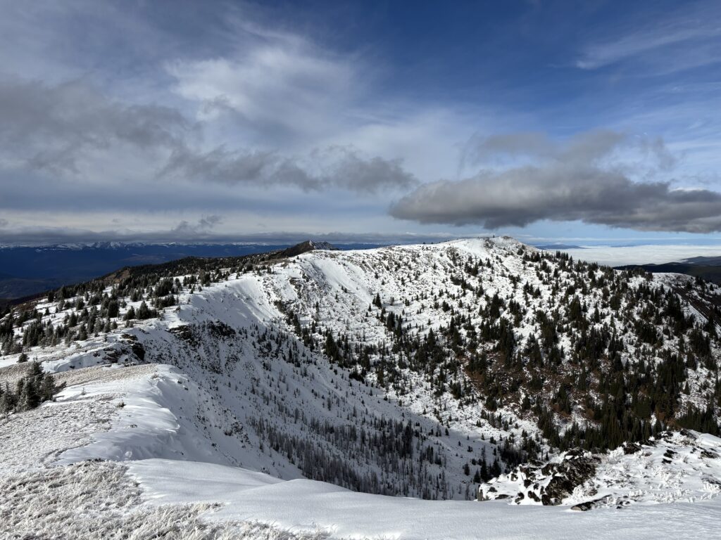
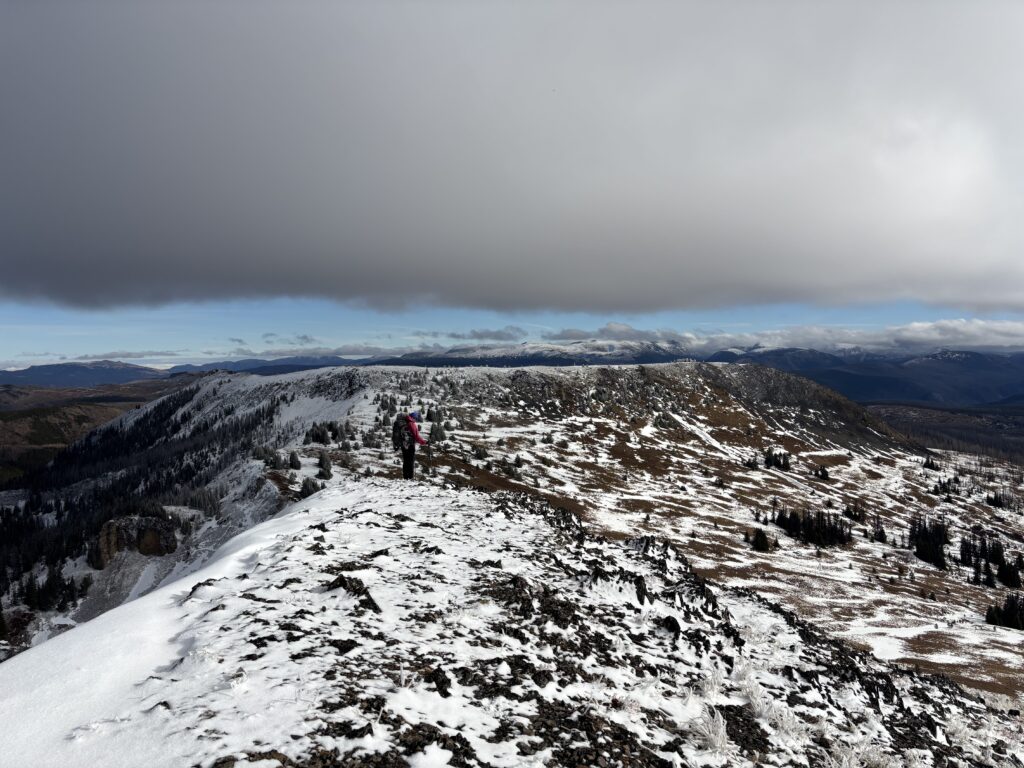
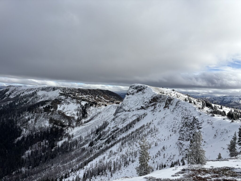
When we started our descent we made a bee line for the next and tallest looking of the two false summits and made a few eyeline and GPS measurements. Sure enough, the first summit appeared to be the tallest. The next false summit down the line was shorter looking still, so we opted to skip it. Our trip back to the car was uneventful and we just had to follow the obvious path all the way back.
