Elevation Gain: 3,291m
Distance: 45.15km
Total Time: 13 hours 31 minutes
Date: September 30th, 2024
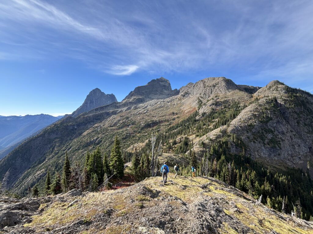
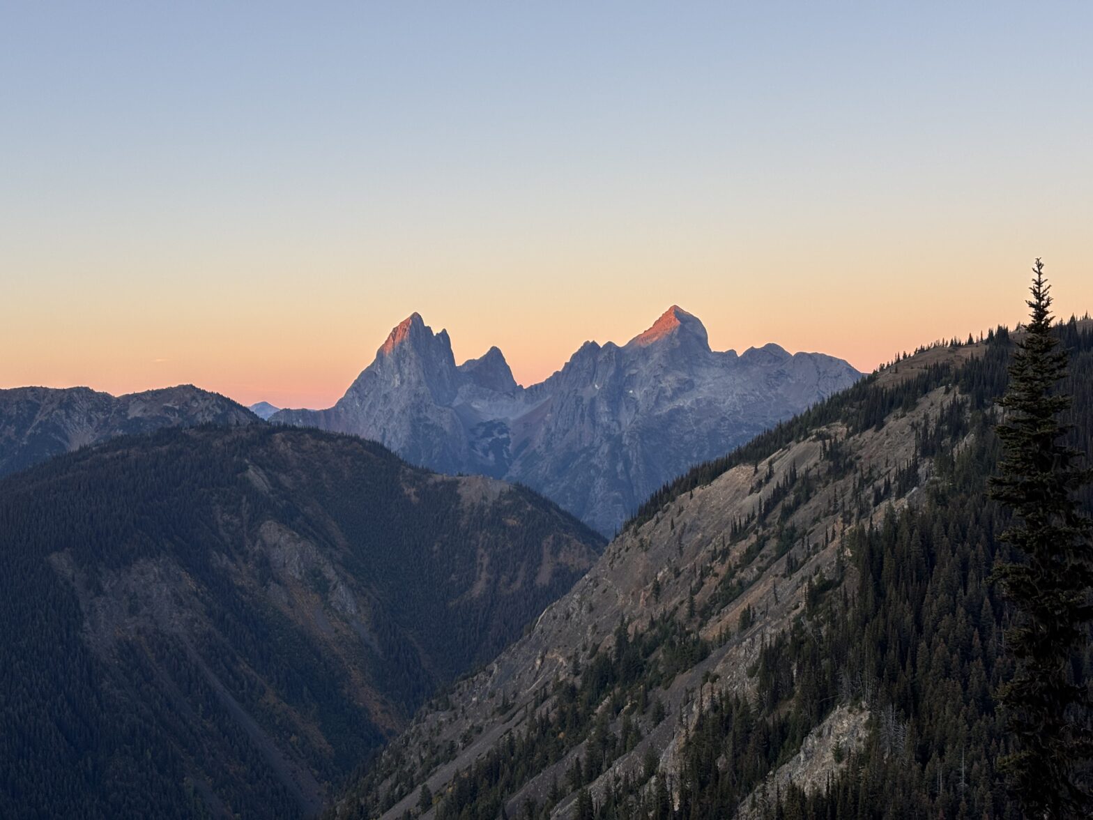
Hozomeen Mountain is the taller of two steep rugged spires in the Northern Cascade Range. If you’ve been anywhere in Manning Parks, there’s a good chance you’ve seen this unique looking mountain. The true summit is the northern spire, while the southern spire is slightly shorter but much more technical. From most angles, Hozomeen looks improbable, so I was surprised to find out there’s a standard route that does not exceed 4th class for just a few sections. The hardest part is, arguably, just getting to the base. Both summits are located just a few kilometers south of the Canadian-American border and the nearest trail head is from the Manning Park side. It’s ~21km each way to reach the summit. If you’re coming from the American side you’ll need to take a boat up Ross Lake and bushwhack up from the northern end. Now, despite the distance, the bulk of the approach is on the immaculately maintained Skyline trail and it makes for a feasible day trip. I had long thought about climbing this route as a snow route on the north face, but my appetite for steep snow has been muted as of late and so a summer ascent could certainly tempt me.
It just so happened that Alex, Trevor, Steven and Erica had been planning a trip up Hozomeen for the upcoming weekend. Meanwhile, I was still floundering around trying to figure out what I’d like to do. Mediocre weather forced the eyes towards the Northern Cascades and after hearing I was still without plans, Alex invited me along. We all decided on car camping at the trail head to skip on an early morning drive. When 5am rolled around, we hit the Skyline Trail bound for Hozomeen! Alex set a brisk, but welcome pace, that kept the cool temperatures at bay. Free from dead fall, tree roots and other pernicious trail inhabitants we were quickly out of the trees and onto the ridge system.
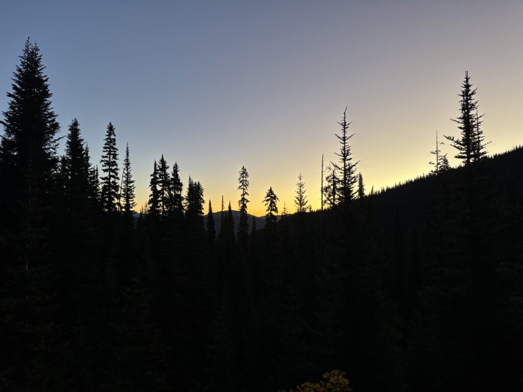
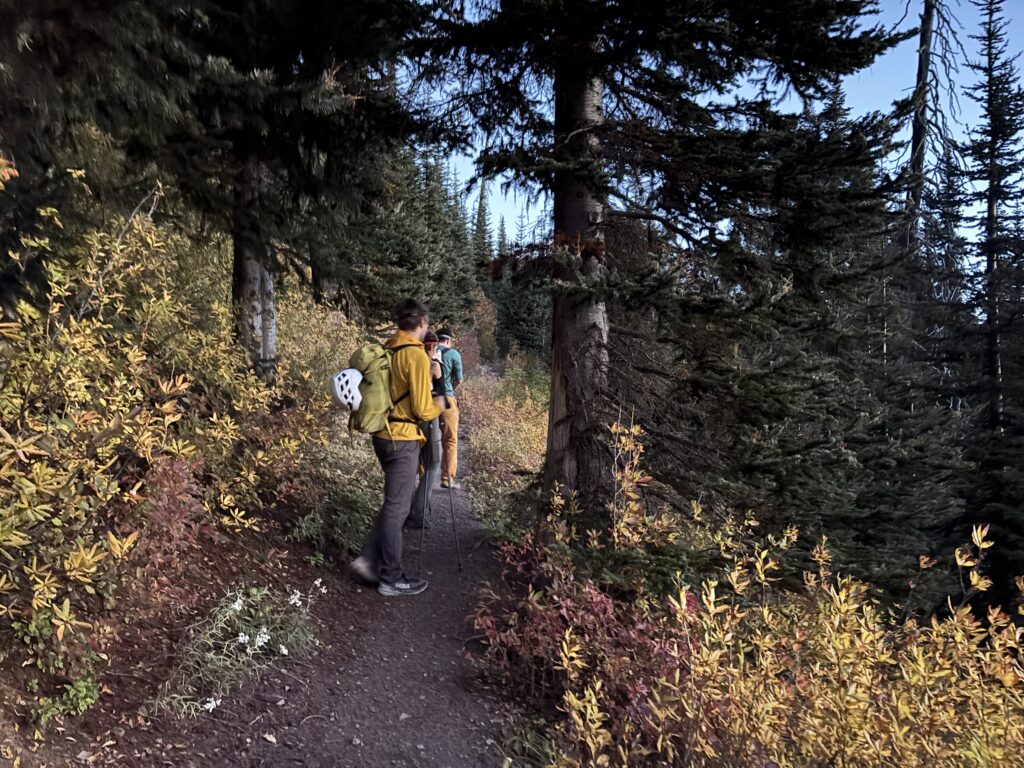
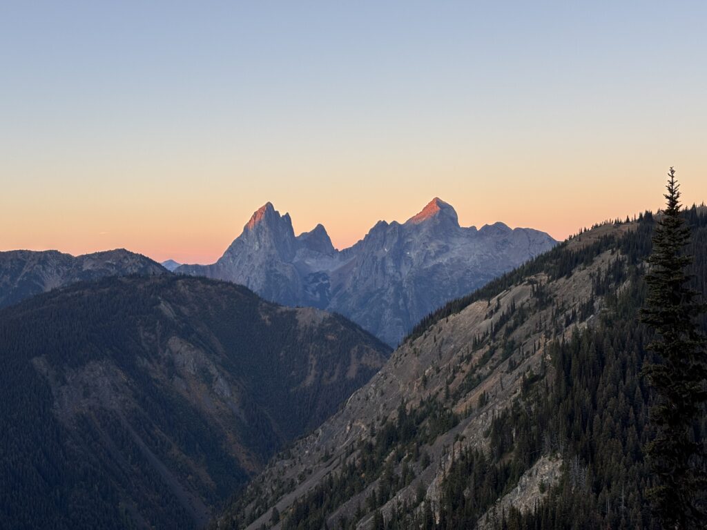
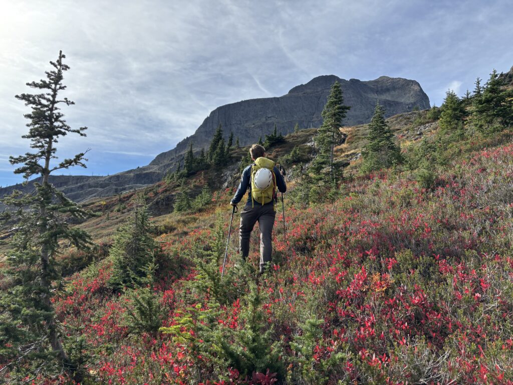
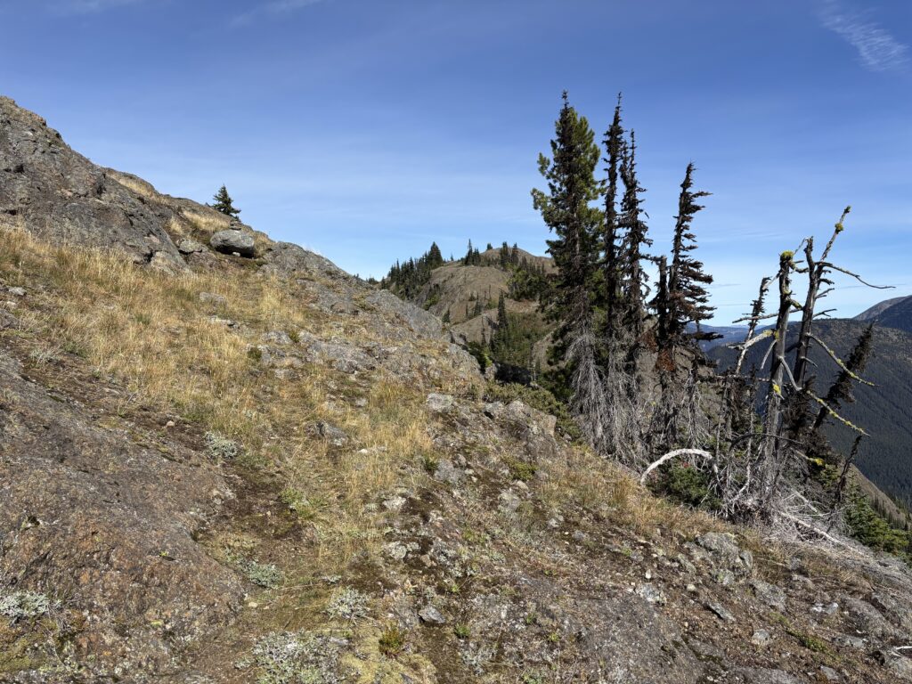
The trail runs past Snow Camp Mountain and Lone Goat Peak, two summits I had hiked many summers ago. It was nice to see a familiar area and I had remembered being enthralled with the views the first time. Once again the area was capturing my imagination. We pushed past the last realms of familiar trail and dropped a ways down into Mowich Camp before ascending back up to the Hozomeen Ridge. Here Erica took the lead and we went from a light trot to a full gallop, something this old horse can barely manage on the trails. After numerous ups and downs Hozomeen started to come more sharply into focus. The improbable looking walls now began to offer numerous options to the summit.
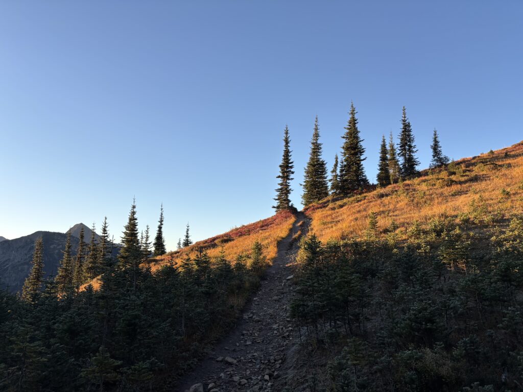
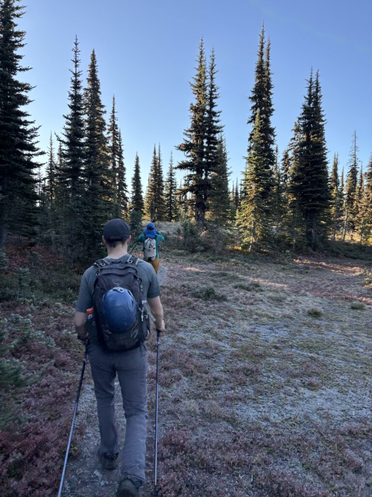
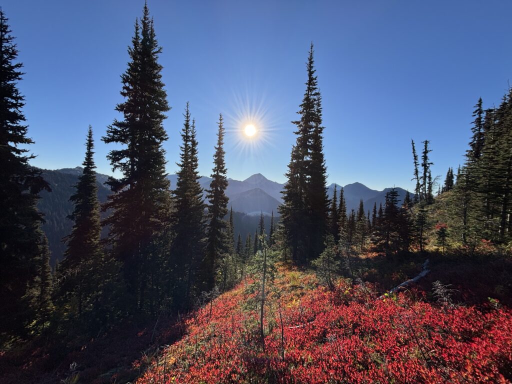
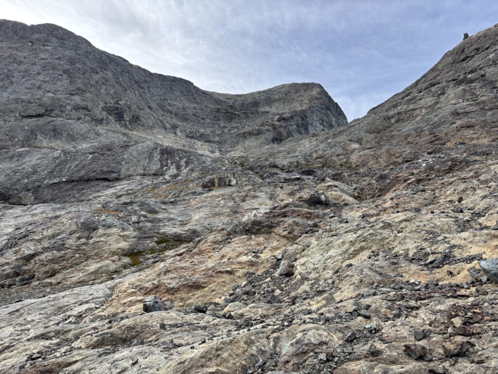
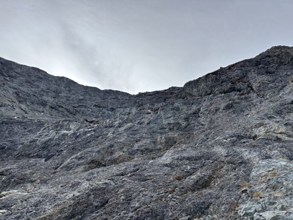
We slogged up one huge steep roll on the ridge before the border and there the trail petered out. The terrain was wide open though, so we descended down towards the massive slopes of an extinct glacier on the north side. Everyone paused mid way up the slopes to fill up water at a small stream and then we hike up glacial moraine and bedrock to the base of the standard route. Helmets were donned and the ascent began in earnest. The first section was no more than 4th class through firm verglass covered rock and up to a ledge system. We zig zagged up the ledges until a large bowl at the base of the upper headwall. Here, Steven lead us climber’s right up towards the ridge crest where the rock quality deteriorated, but not to an irredeemable point. The scrambling up the ridge was amazing, with superb views and precipitous drop on the west side.

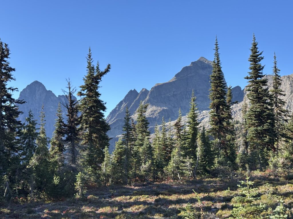
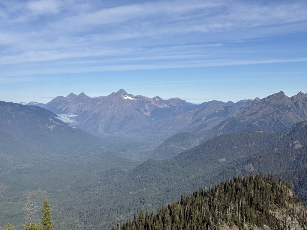

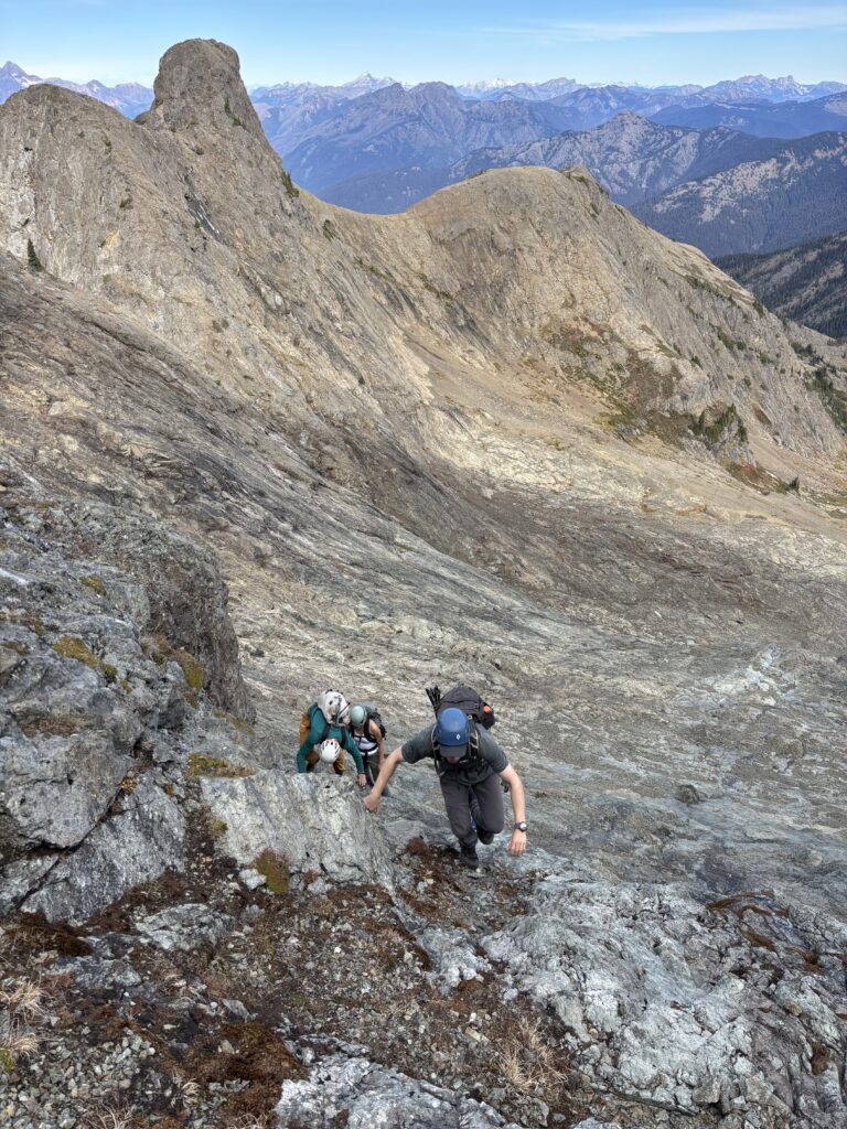
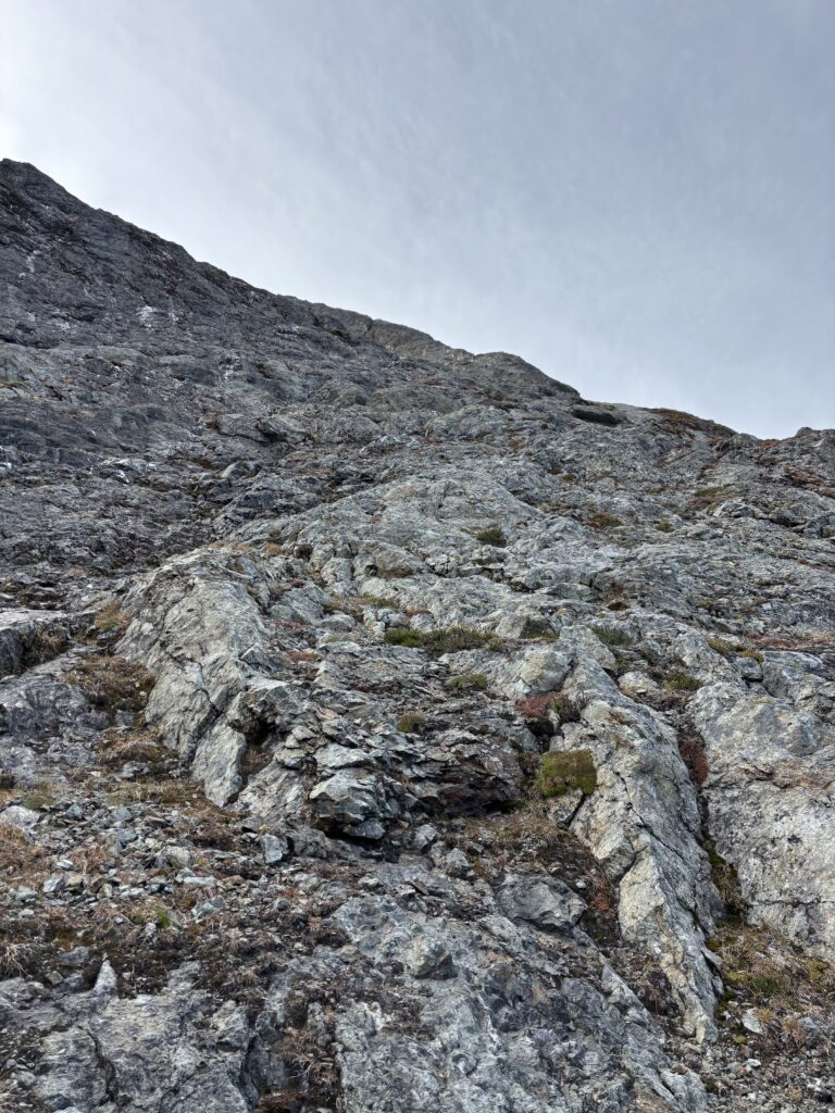
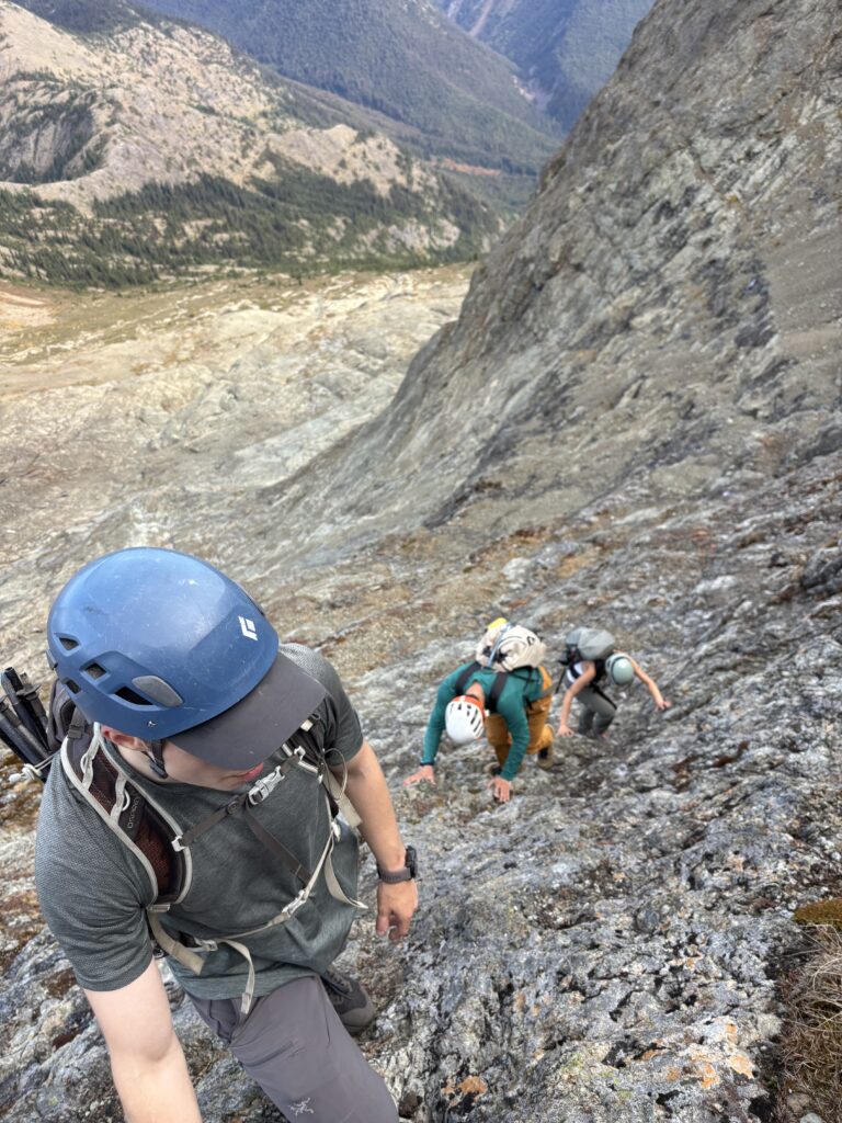
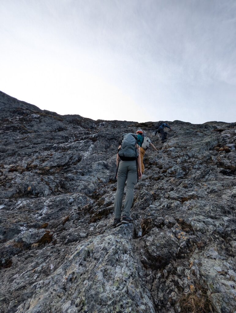

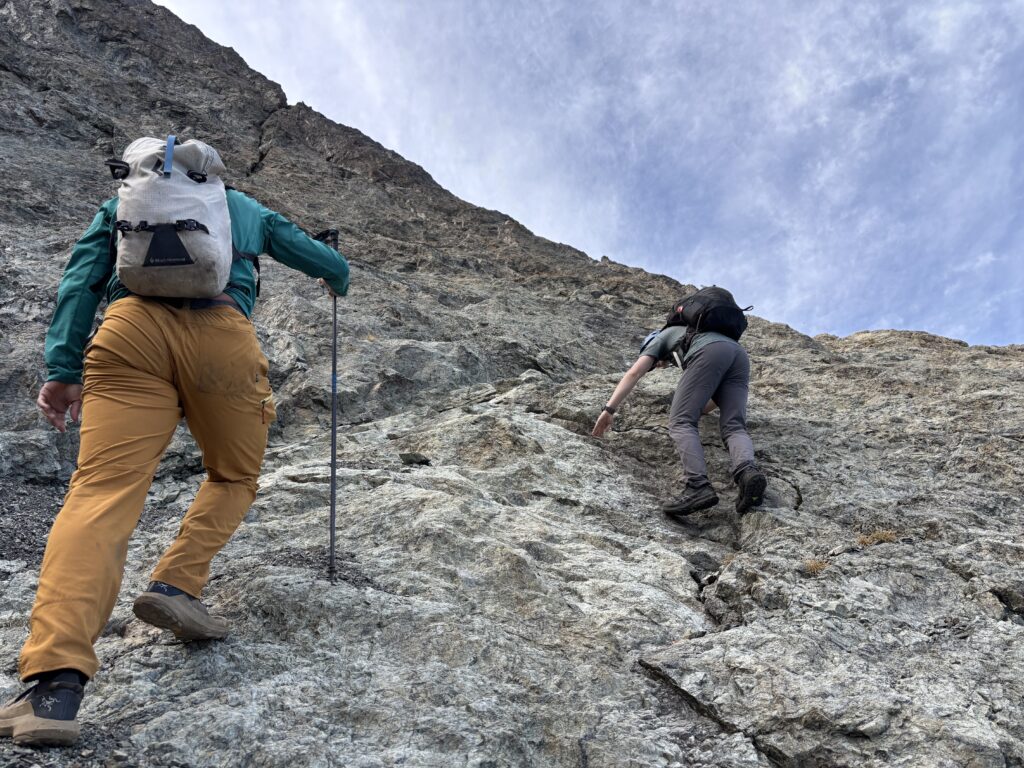
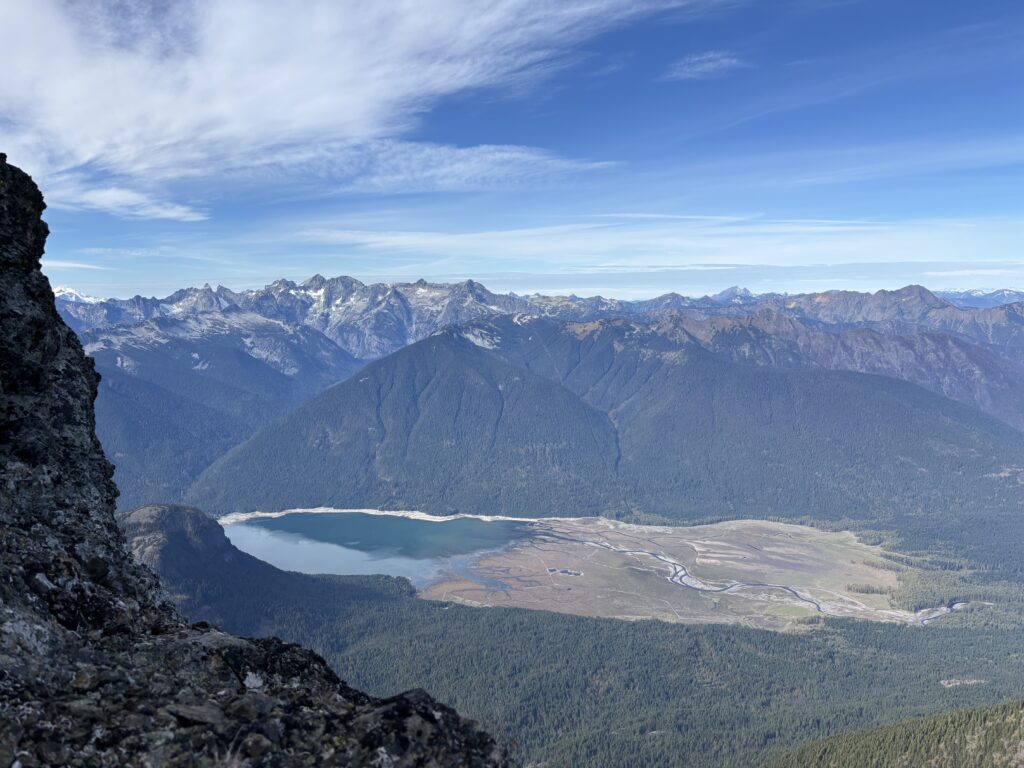
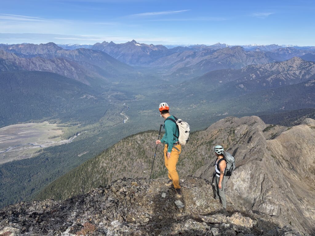
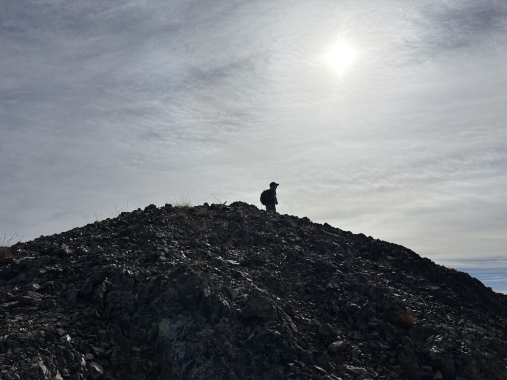
By 11:30am we all stood on the summit. A quick scan of the summit register showed that this place sees quite a few visitors each year. Just beyond the summit stood the more daunting looking south tower. Although some post hike research would later reveal that in recent times a rather tame standard route had been established. The views towards The Pickets and Jack Mountain were impressive and it was clear looking around that we had dodged the snow by a few kilometers in almost every direction.
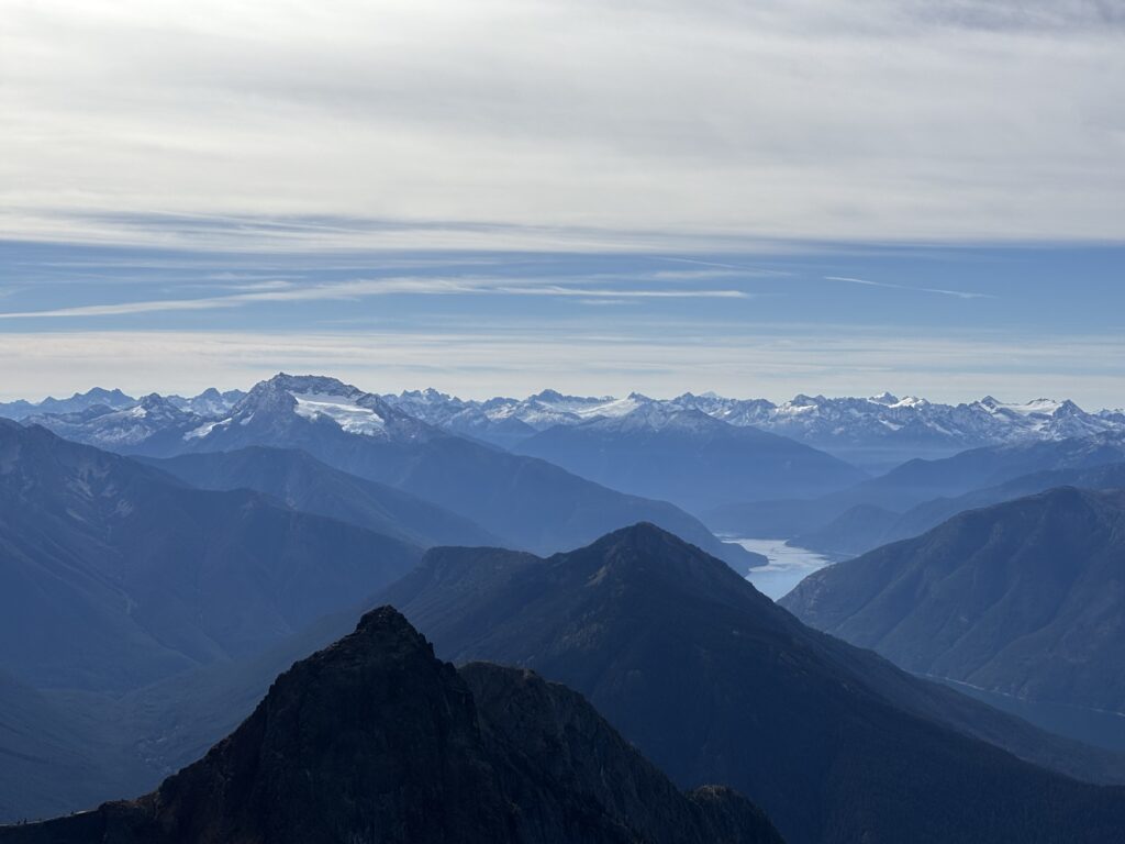
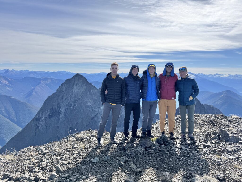
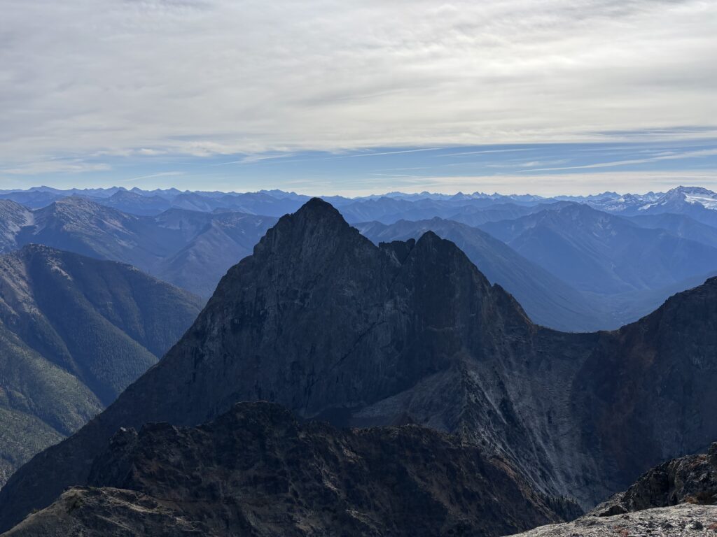
After some summit snacks, Steven and Erica started down first and then Alex, Trevor and myself began our way down too. The upper part of the ridge is fairly tame and one can face out. However, as we neared the section to traverse down into the upper bowl, we had to face in and move more carefully. After descending the steepest bit, I slipped out facing forward on scree just above the bowl and almost went for a huge ride. Thanks in part to being on lower angle terrain, I didn’t go far. It was a stark reminder not to get complacent in the mountains.
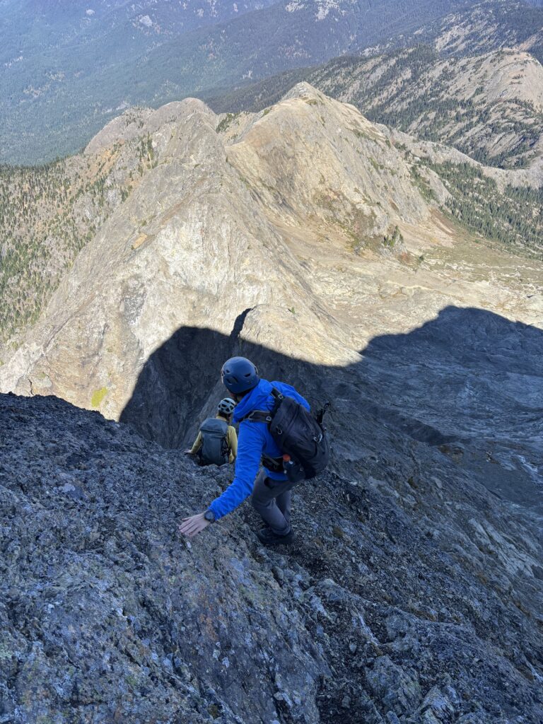
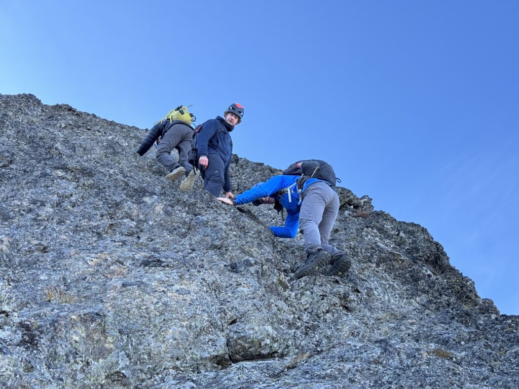
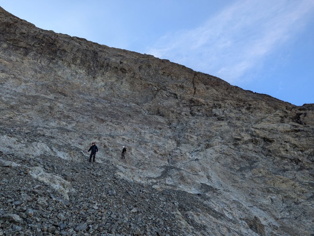
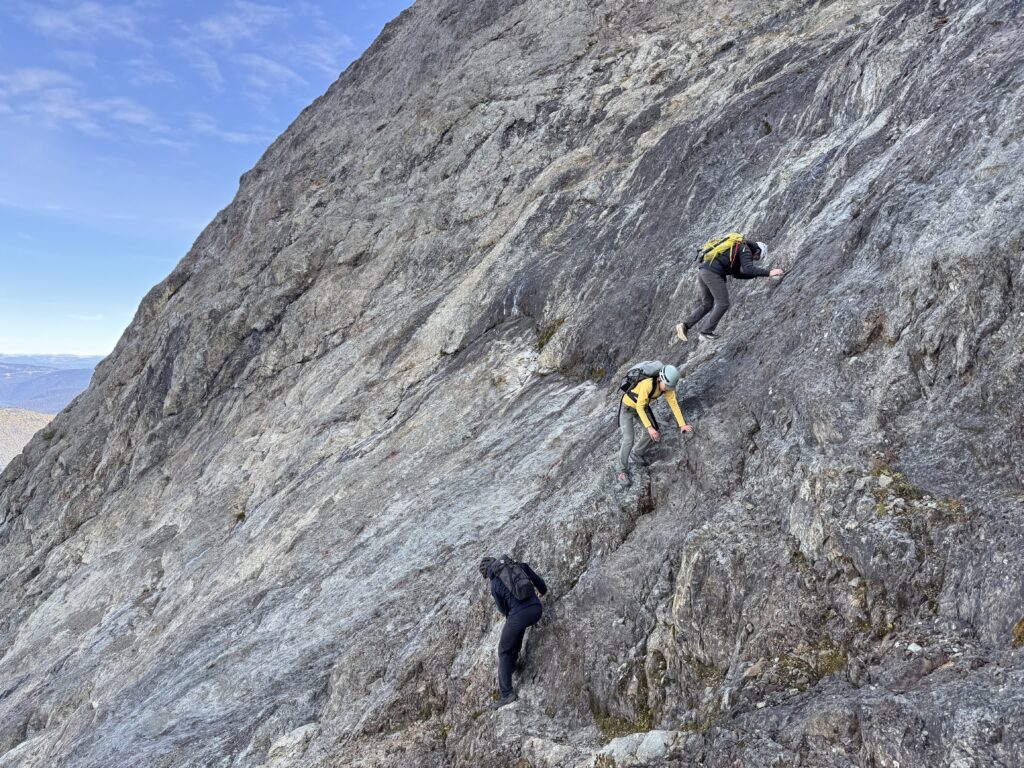
At the edge of the upper bowl, we carefully descended through the verglass covered rock and were back on easier terrain after that. We descended back to our water stream spot, filled up again, and then carried on back up the Hozomeen Ridge. The plan now was to hike up Red Mountain, a rather isolated and distant peak if you had to start from the trail head. Out here, it was going to be a small detour though!

I think I would start with an ebike and skip the big run. Looks like a great hike.