Elevation Gain: 2,042m
Distance: 35km
Total Time: 2 days
Date: August 13th to 15th
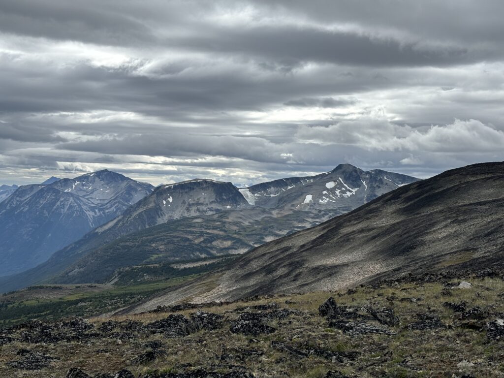
After a few rest days in Bella Coola, Andrea and I were looking at options for our next excursion. We still had another week away from work and wanted to take advantage of being so much farther north than we could normally drive. Prior to leaving from Vancouver, we had identified one area in particular that looked quite interesting. The Wilderness Mountain area. More generally, the encompassing area that’s known as the Charlotte Alplands. It’s located west of Highway 20 between Kleena Kleene and Nimpko Lake. The area boasts beautiful alpine lakes and generally doesn’t get explored all that often. That had us both excited, but the forecast was tempering our ambitions a bit. Rain was slated to roll in Thursday evening and so that would just give us 2.5 days in the area. With that knowledge, we decided on an exploratory ridge ramble along Mount Nogwon traversing as far west as Peak 2448. We selected 2448 specifically because in satellite images it was surrounded by a menagerie of bright blue lakes and while not officially named was taller than the officially named high point of Mount McClinchy.
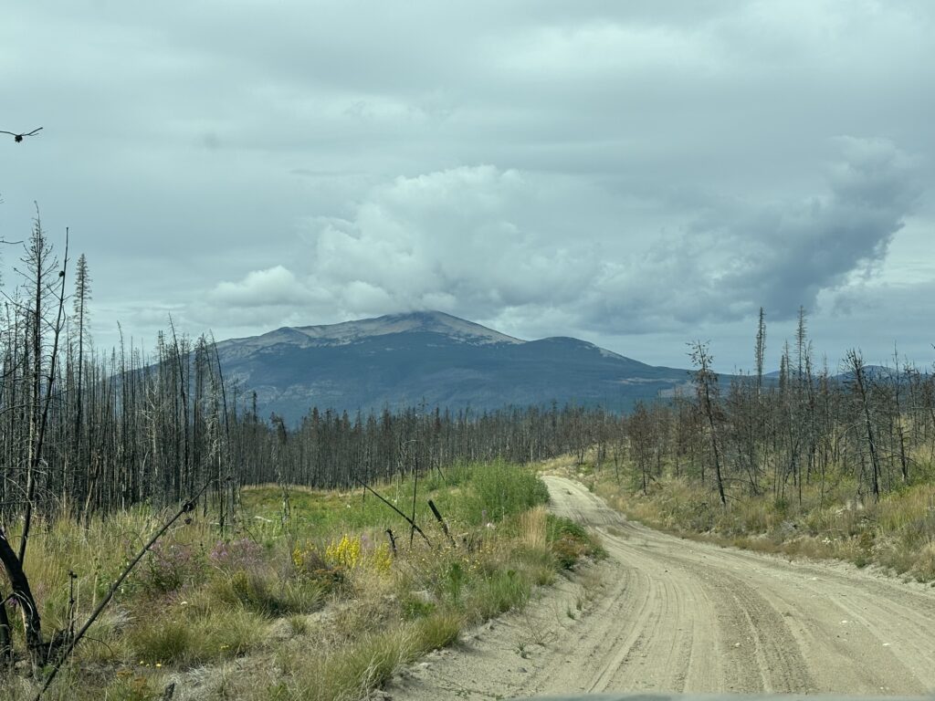
There’s one catch to this whole plan. We’d be relying on brand new logging roads to get us as close to the alpine as possible. Based on satellite images, they were built this summer and that usually means active logging operations. Who knows how nice these loggers might be in letting us drive through. We’d just have to take a chance. As always we kept a back up in mind.
On Tuesday morning we drove out from Bella Coola and a few hours later turned down the Big Stick FSR. After 7 or so kilometers we forked left onto the spur road we had identified and passed numerous parked logging machines. It looked like everyone had just gone on their lunch break or something. We were totally surprised to find no one around. At the end of this road, a large staging area appeared with a debris pile and ditch that blocked further access. That was great news for us though as it put us within 2.5km of the alpine and we’d just have to follow the now blocked section of road on foot.
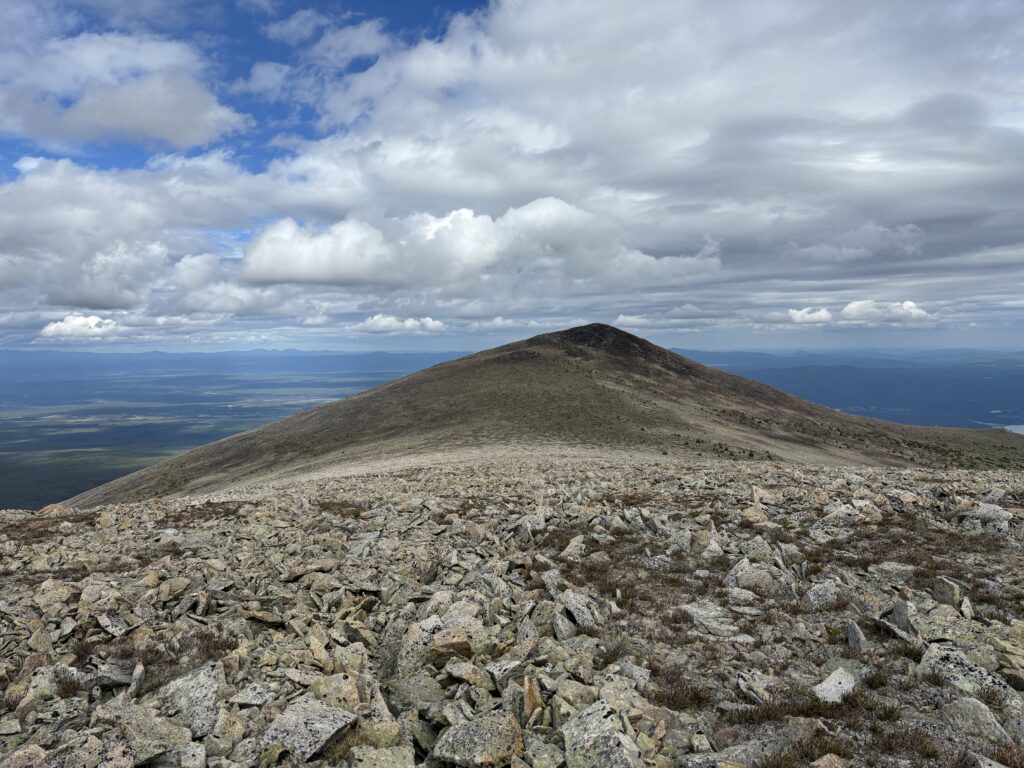
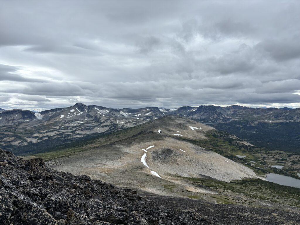
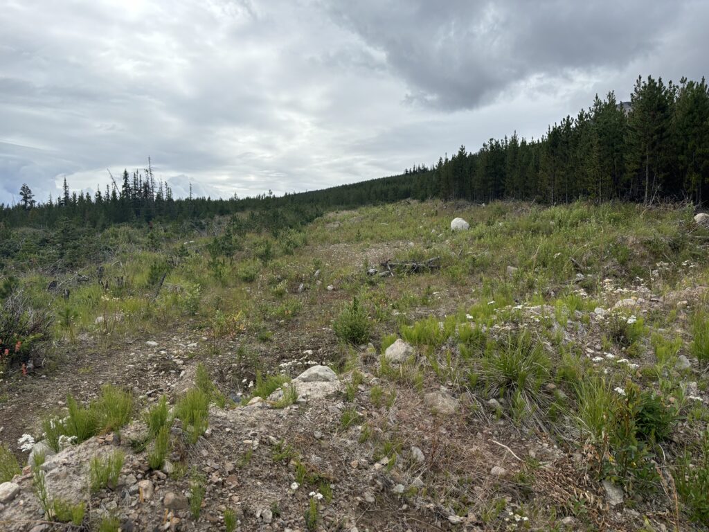
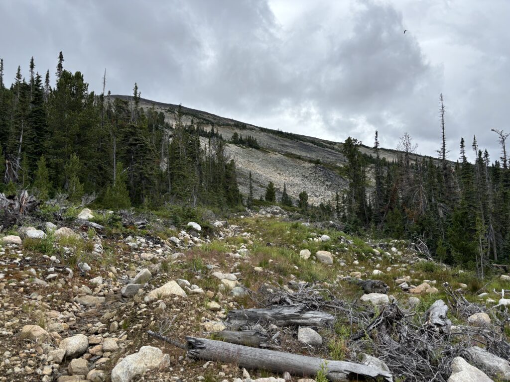
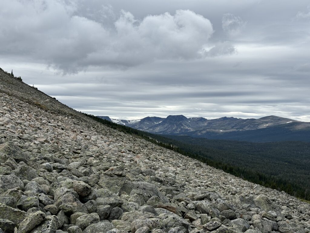
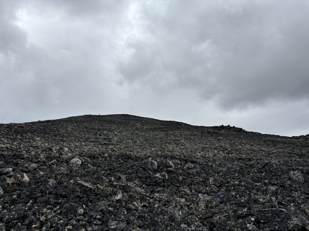
Andrea and I loaded up our packs and headed down the road. It was easy walking and before long we reached the alpine without ever having to set foot in the forest. We then started boulder hopping up towards the summit of Mount Nogwon, some 400m above us. The weather was kind of gloomy at this point, with little spits of rain here and there. That coupled with a lack of any real rest in the last few days had us both feeling dead. It took a fair bit of motivation to slog up the hill, but eventually reached the massive cairn marking the summit.
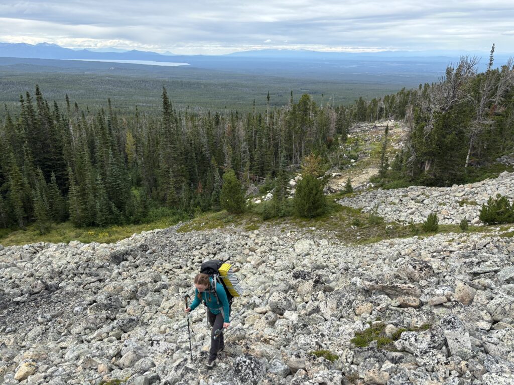
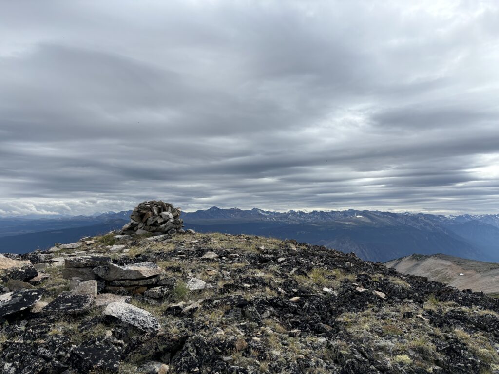
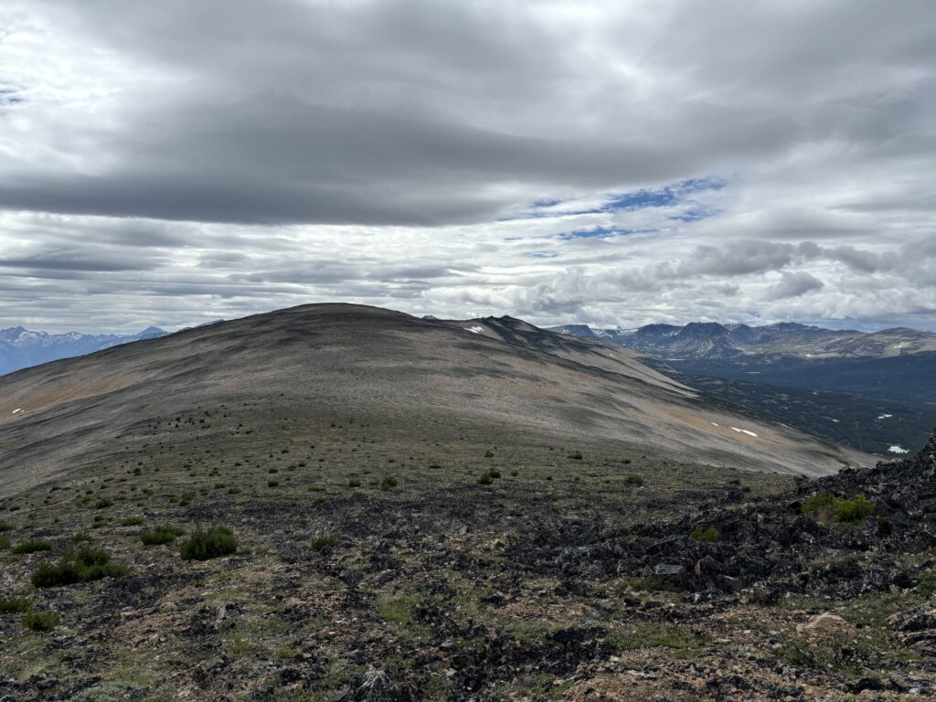
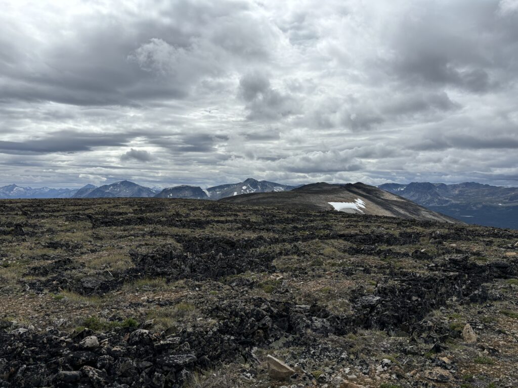
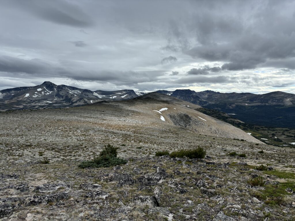
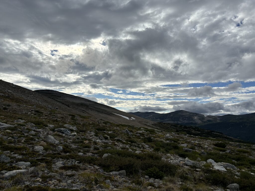
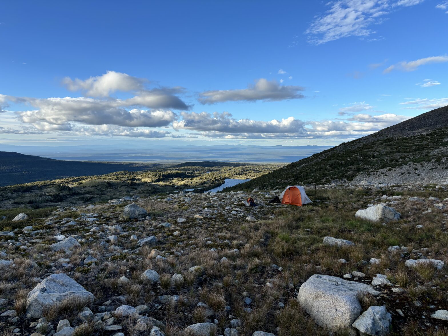
Ahead of us was a very long and very foreshortened broad ridge line that would take us much deeper into the alplands. The moody weather set an unenthusiastic tone for us, but we did our best to stay motivated and pushed on along the ridge system. At the end of the ridge we found a nice camp site with running water and decided to call this home for the next two nights.