
Elevation Gain: 1,551m
Distance: 19.9km
Total Time: 6 hours 59 minutes
Date: April 6th, 2024
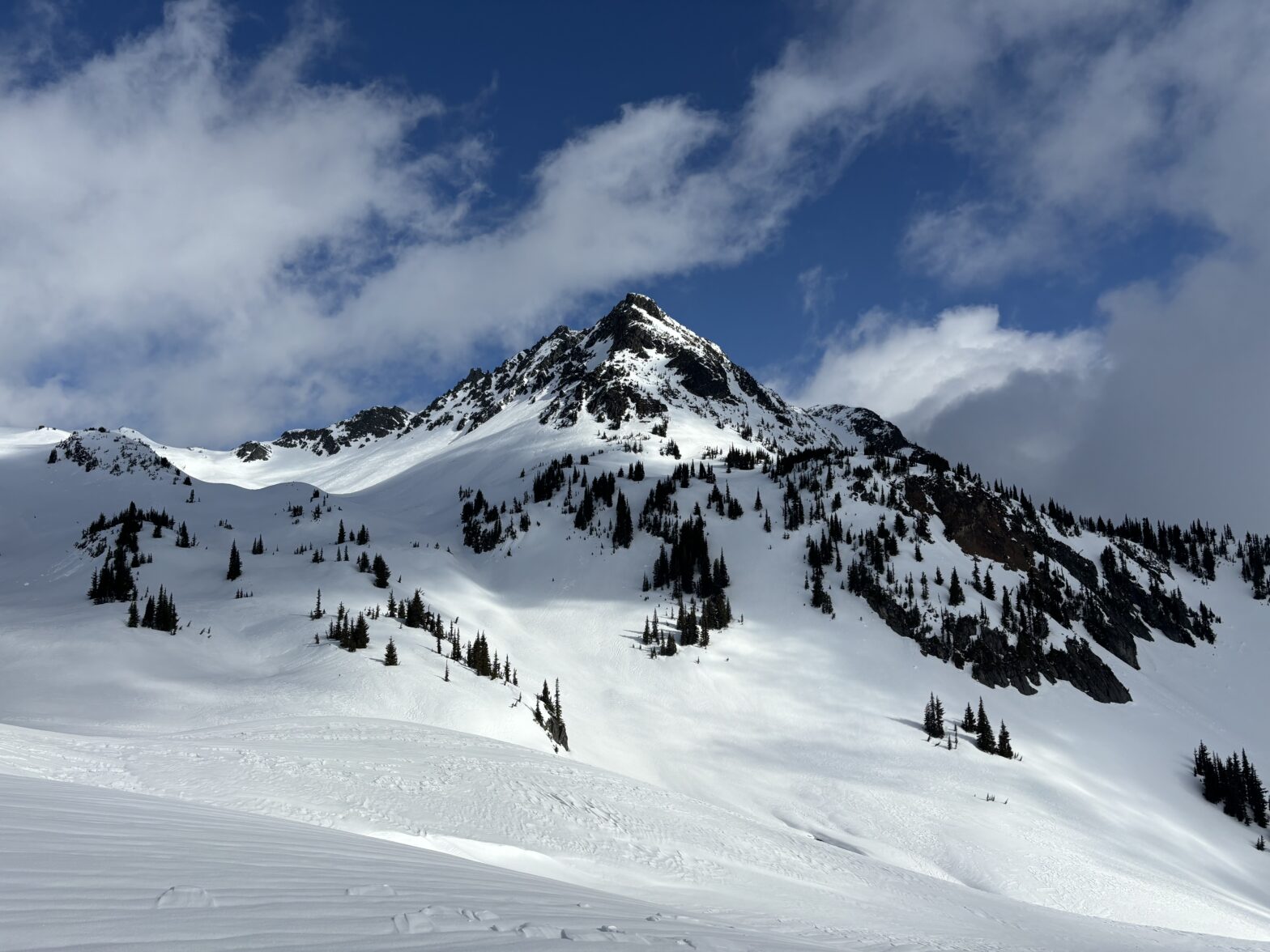
Fire Mountain is an isolated peak located near the northern end of Harrison Lake in a somewhat remote part of SWBC. It takes ~80km of logging roads each way to reach the base and for those reasons its mostly visited by loggers rather than recreationists. I had some interest in this peak for awhile, because it’s remote and offers a glimpse into one of my all time favourite areas… the Fire Spires! Furthermore, it has a pleasant long running ridge line with only a short section of steeper snow. Perfect for a more casual outing.
As it would happen, the weather was really only looking okay along the Lillooet River corridor and I managed to rope Alex and Trevor into the long drive. Clouds were expected to roll in mid afternoon, so we decided to drive up the night before and car camp. We could then hit the summit just in time for some fleeting views. There is already some beta out there, thanks to Steven’s trip from 2019, but I had a slightly different idea to gain the long ridge. While looking at the service roads around Fire Mountain, I noticed a new spur road, built in 2023, that went all the way up to 1100m. I figured if we could get close to the end, that would spare us a steep bushwhacking session. I knew from climbing up Meadow Dome the weekend prior that the snow line was at least 1000m in the forest, but the road was an unknown. Thankfully, Alex and Trevor were down to try and worst case we just fallback to the established beta.
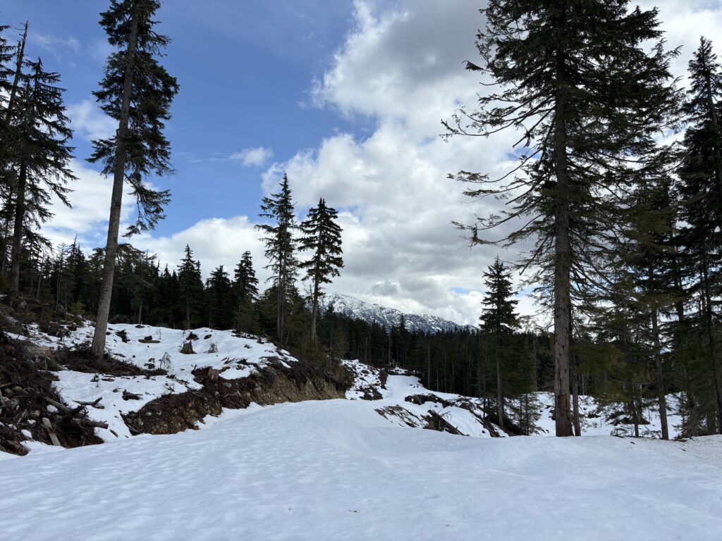
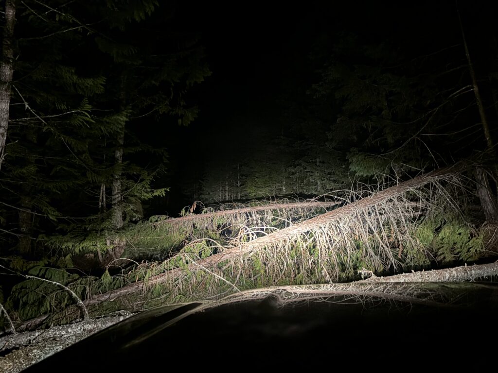
I picked Alex and Trevor up in Squamish at 7PM and we made the 3.5 hour drive down In-SHUCK-Ch FSR and eventually up Fire Lake FSR. The road was in great condition up to the new spur (FL1201 and FL1210) and the first 2km of the spur was immaculate. We then hit our first snag, a cluster of deadfall blocking the road. Thankfully, I carry a chainsaw just in case and we managed to dispatch with 3 of the 4 trees easily. Unfortunately the 4th one was twisted in a funny way and despite doing an underbuck, my final pass through resulted in the tree twisting my chainsaw into place. We managed to manipulate it out, but the chain was now too loose and rendered unusable without tools. That was lesson number one: bring tools to fix your tools! By some luck there was only a cm or so of wood to slice through so we just pushed and pulled until it snapped.

With that we drove through and continued up until hitting snow. I drove through the snow a bit but my tires kept spinning, so I backed off. Then I tried putting the truck into 4-Low and locking my diffs and proceeded to learn lesson #2 of the night. My truck plowed through the snow with its new found power… until I stopped briefly and promptly got us stuck. It took us well over 40 minutes to get out, but we finally managed our way back to dry land and decided to setup camp here. Oh and the lesson? Don’t drive deep snow in the middle of nowhere if you don’t have to.

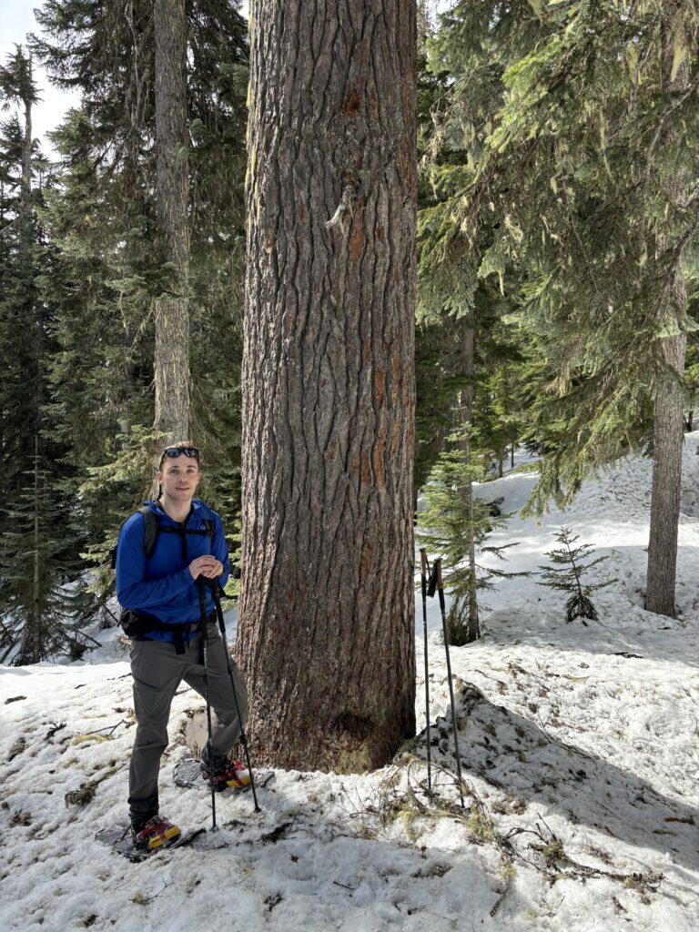
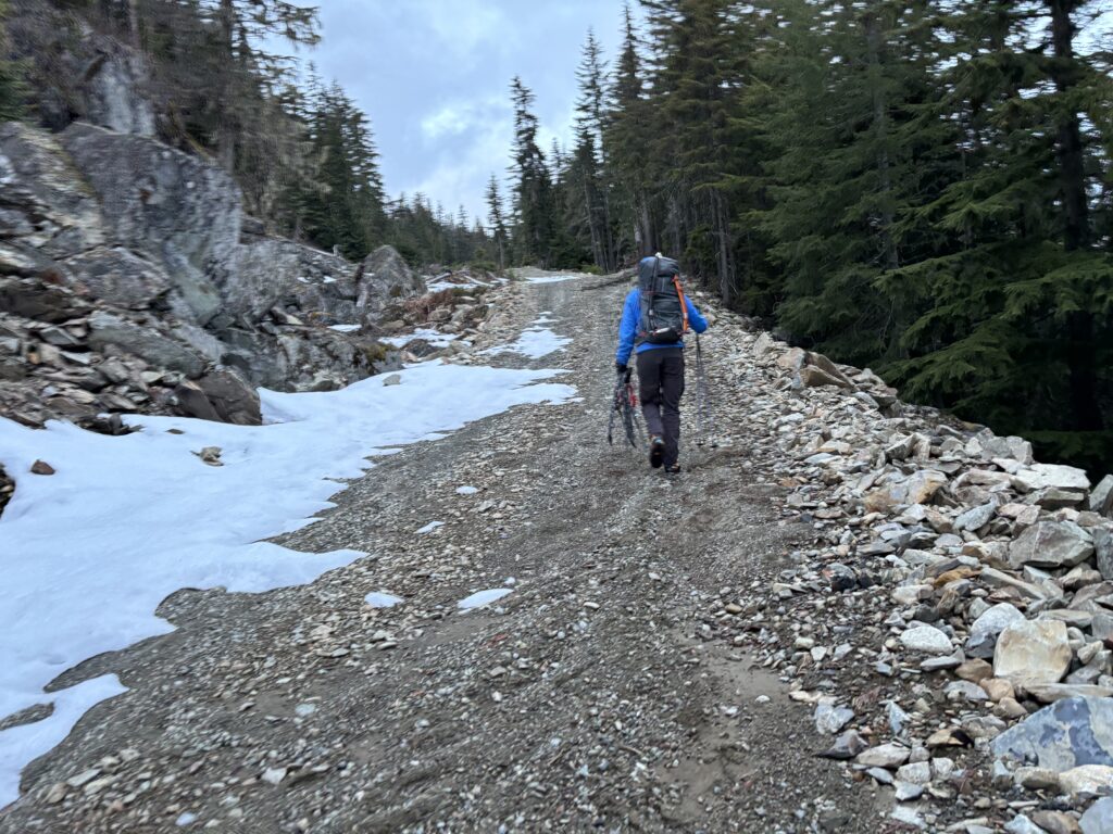
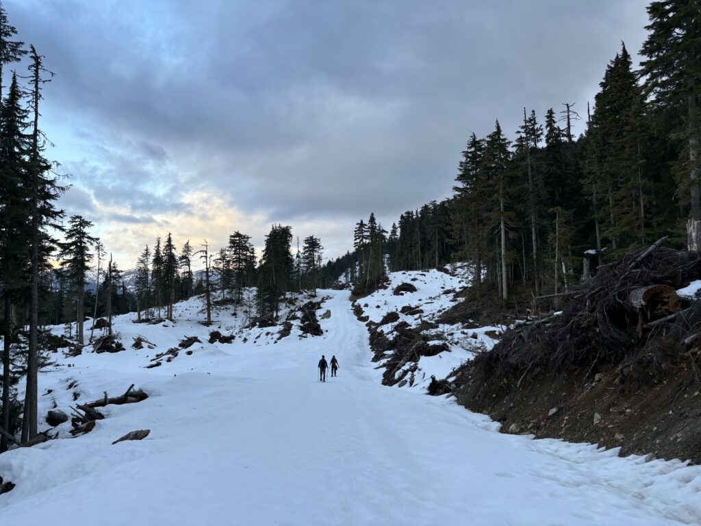
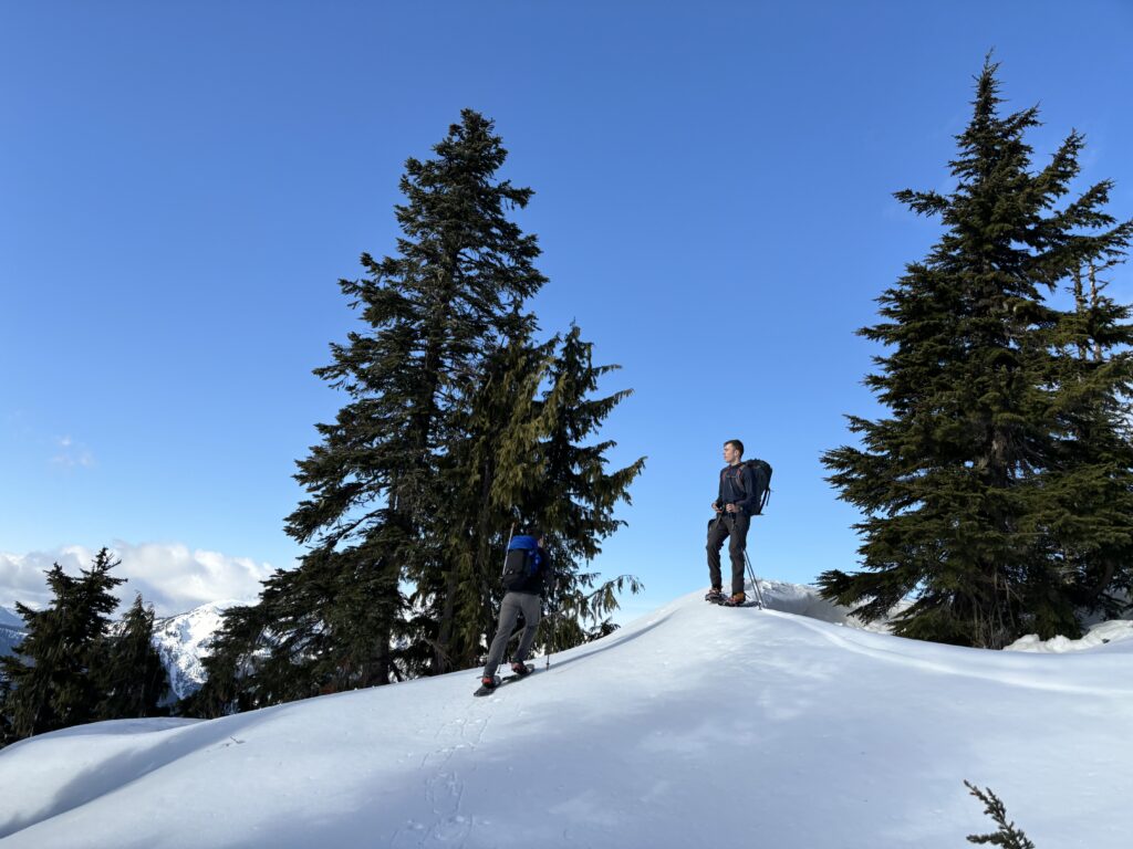
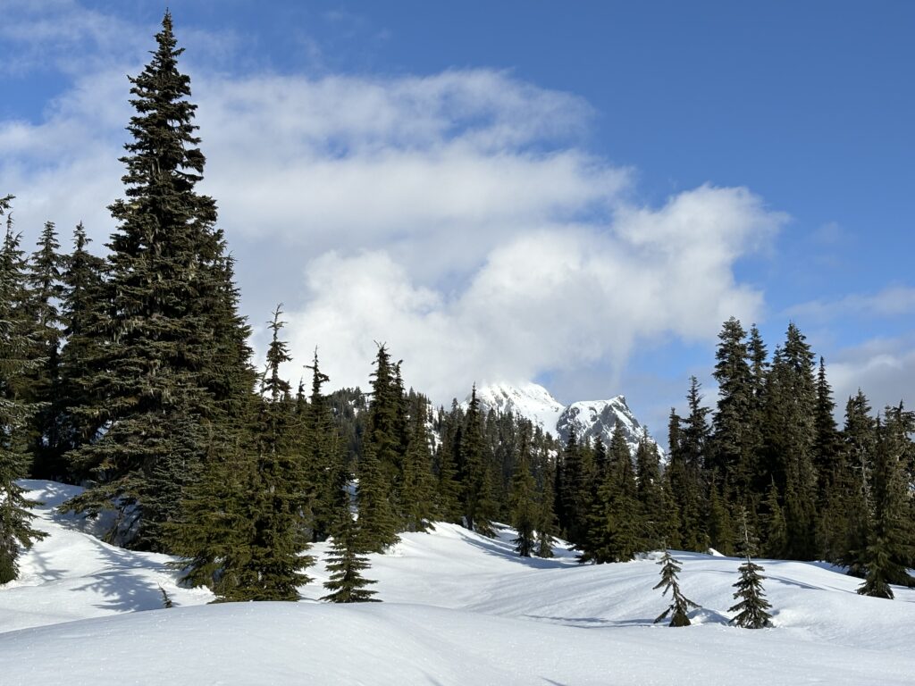
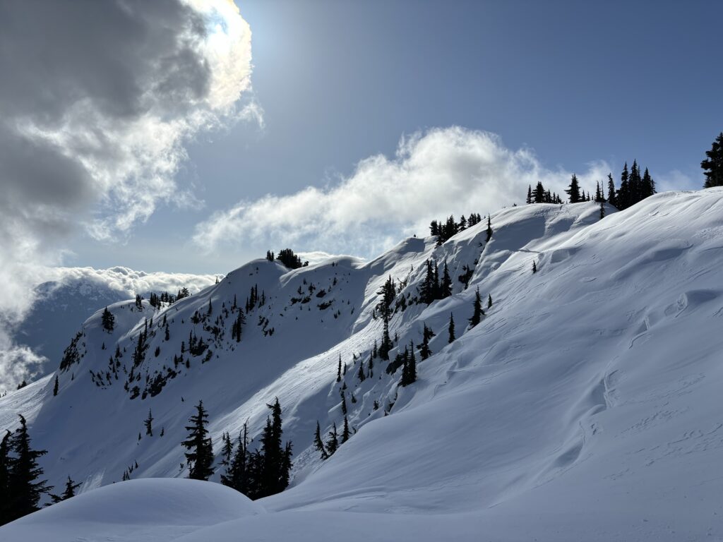
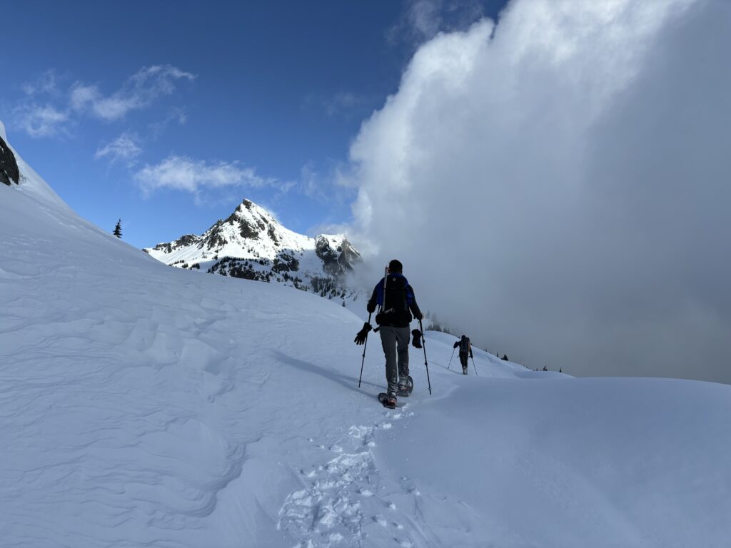
Alarms were set for 6am and no one slept particularly well. Nonetheless, the skies were cloud free and that motivated us to get going. We had about 4km of road walking with with the snow line, but it was easy and bush free. As the road ended, we found continuous snow into the forest, meaning no bushwhacking required. At this point, we followed the ridge, picking the path of least resistance.


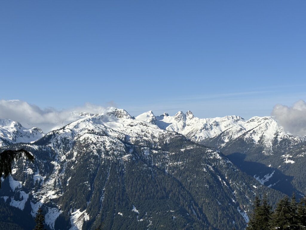

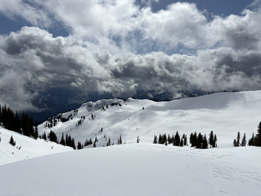
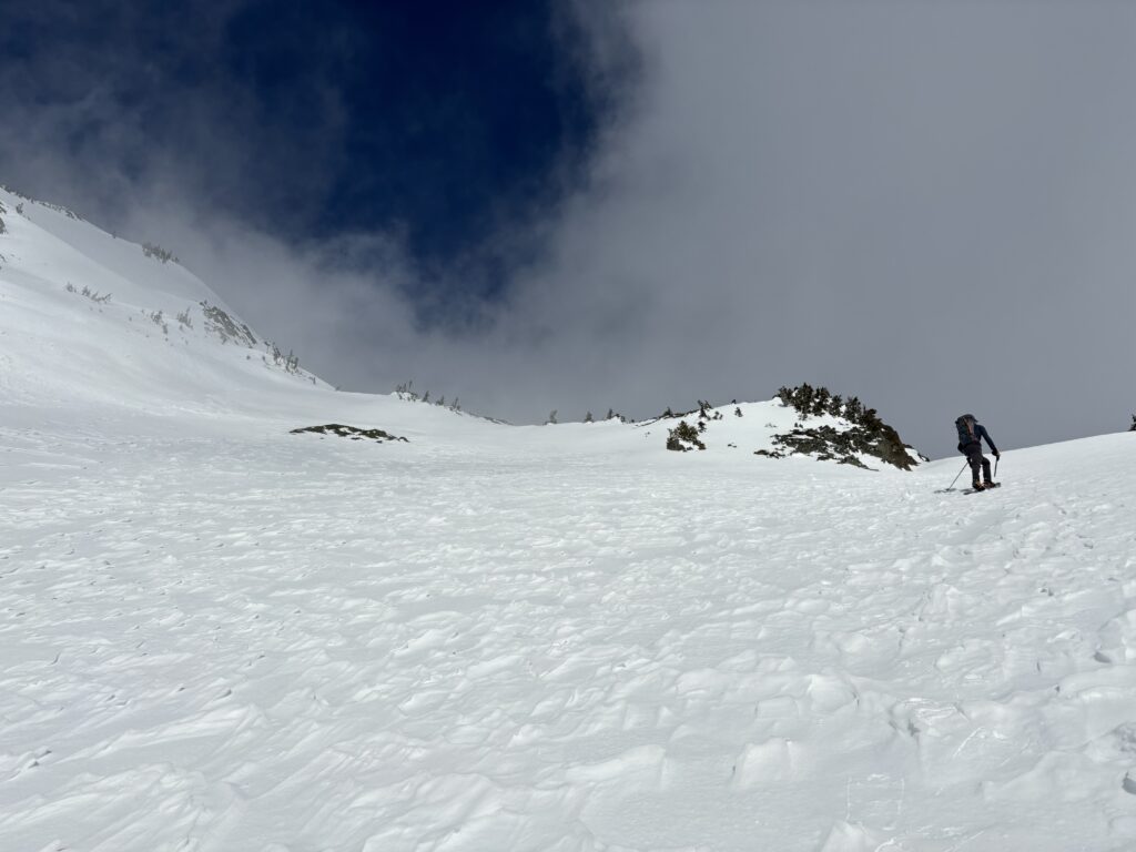
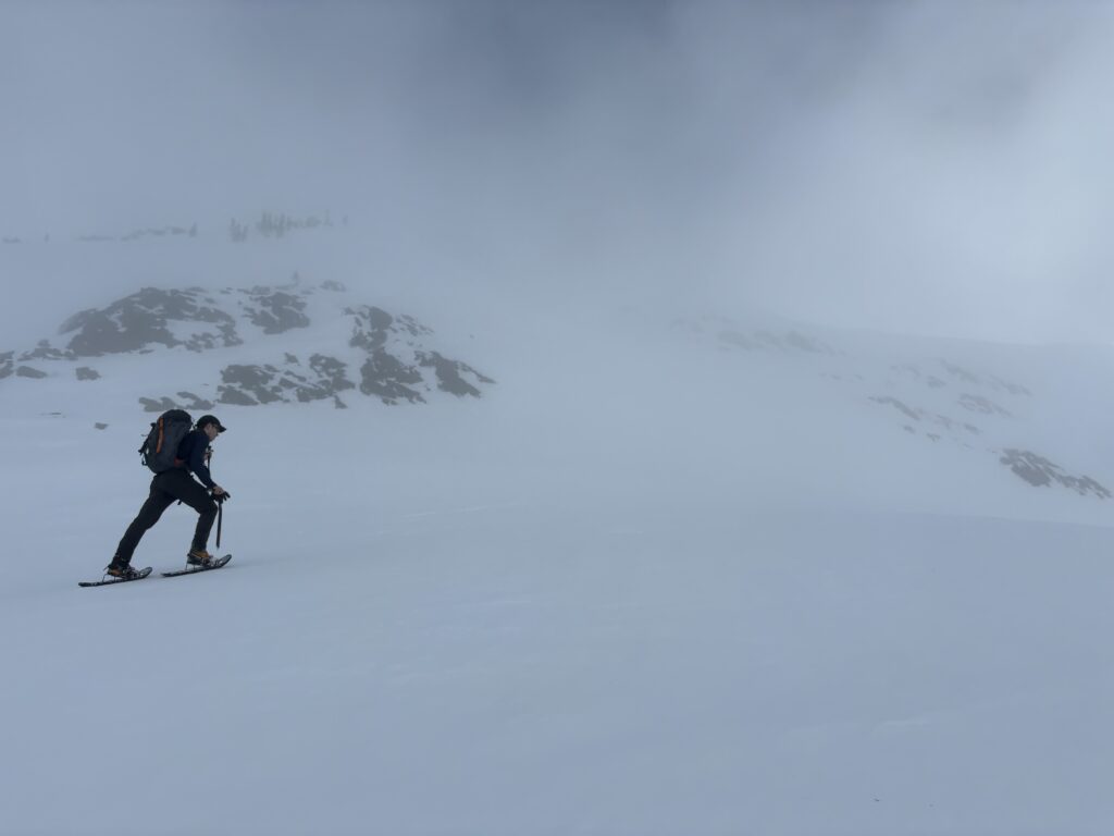
Some where around 1700m the trees gave way to a massive bowl below the base of the summit. The avi forecast had called for potential wind slab problem on all aspects and the snow sure looked wind affected. Given the big nature of the terrain, we opted for a more circuitous route along tamer slopes. This took us around to the base of the south east wall. Unfortunately, we went too high, got cliffed out and to back track a short ways down the slope. We then reached the base of the long south east gully to the summit and started our ascent up. The snow proved to be in good condition with only a small bit of windslab near the top.

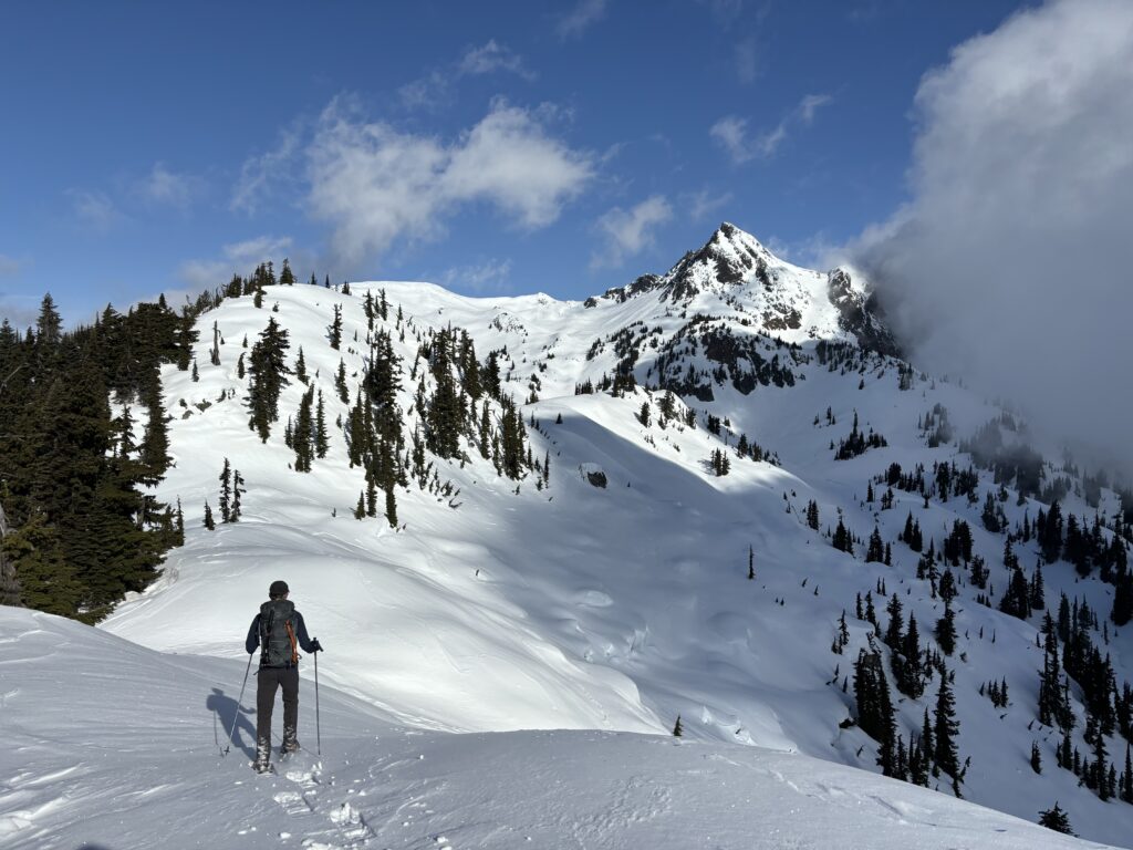


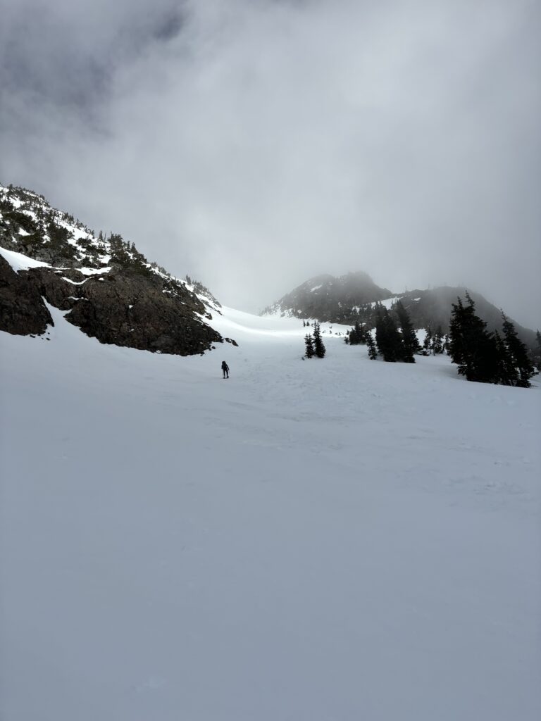
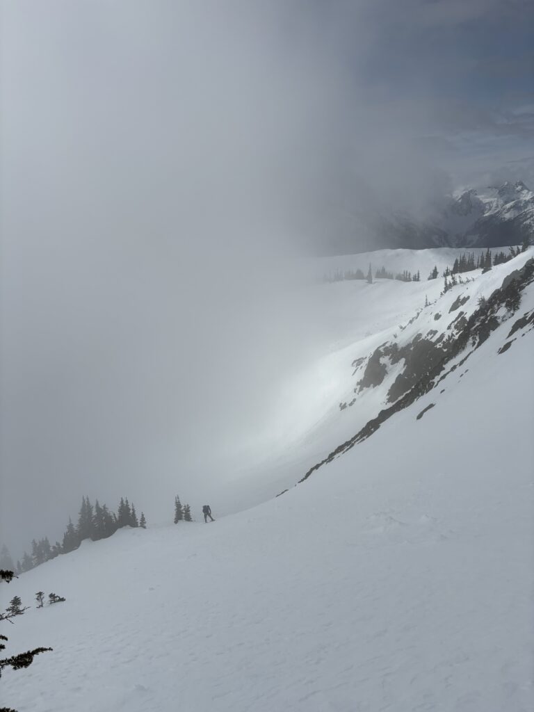
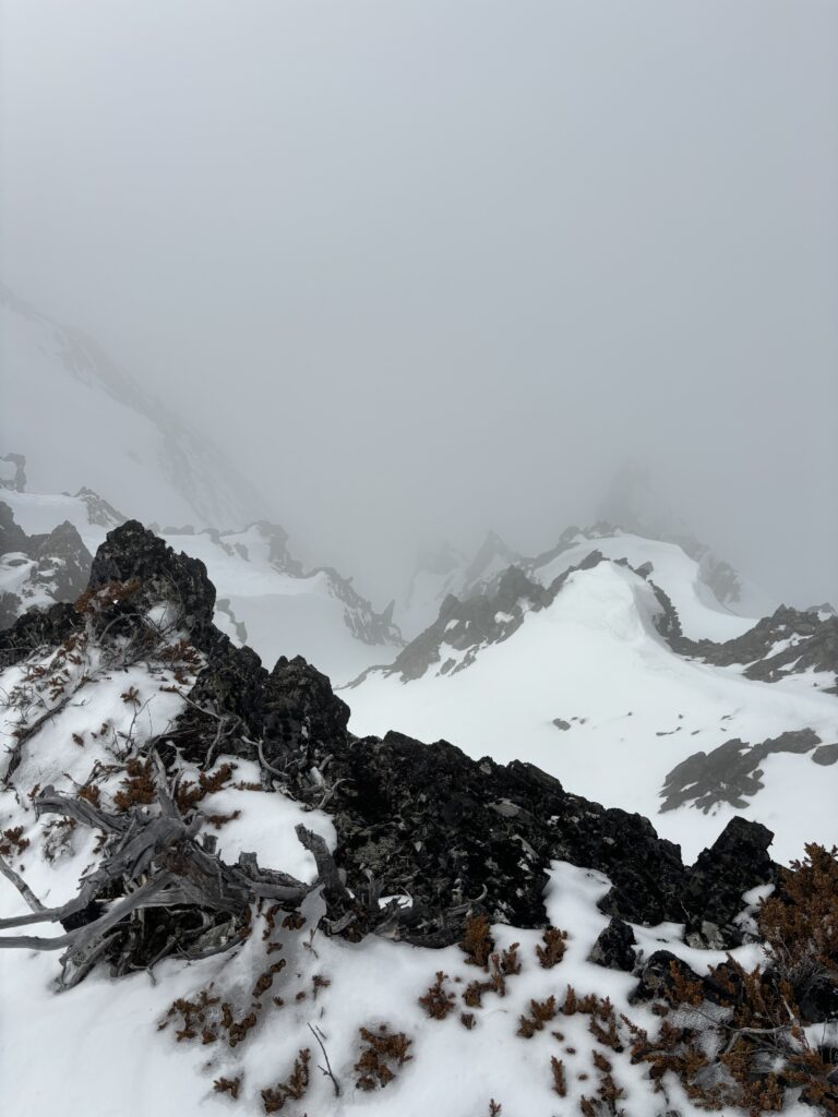
Finally, there was one last short but steep slope up to the ridge and then an easy walk to the summit from there. Sadly the clouds had closed in, but we had enjoyed nice views on the way up. We lingered around long enough for some snacks and then started the descent. The extra cloud cover kept the slopes intact and we had no issues descending at all. Now it was an easy return around the long bowl and then back into the forest.


We followed our snowshoe prints back to the road and then went auto pilot back to the truck. I then drove us out 80km back to the nearest highway and then then another 3 hours home. Our ratio was 9 hours of driving to 7 hours of hiking, but I have to say this area is worth it.