
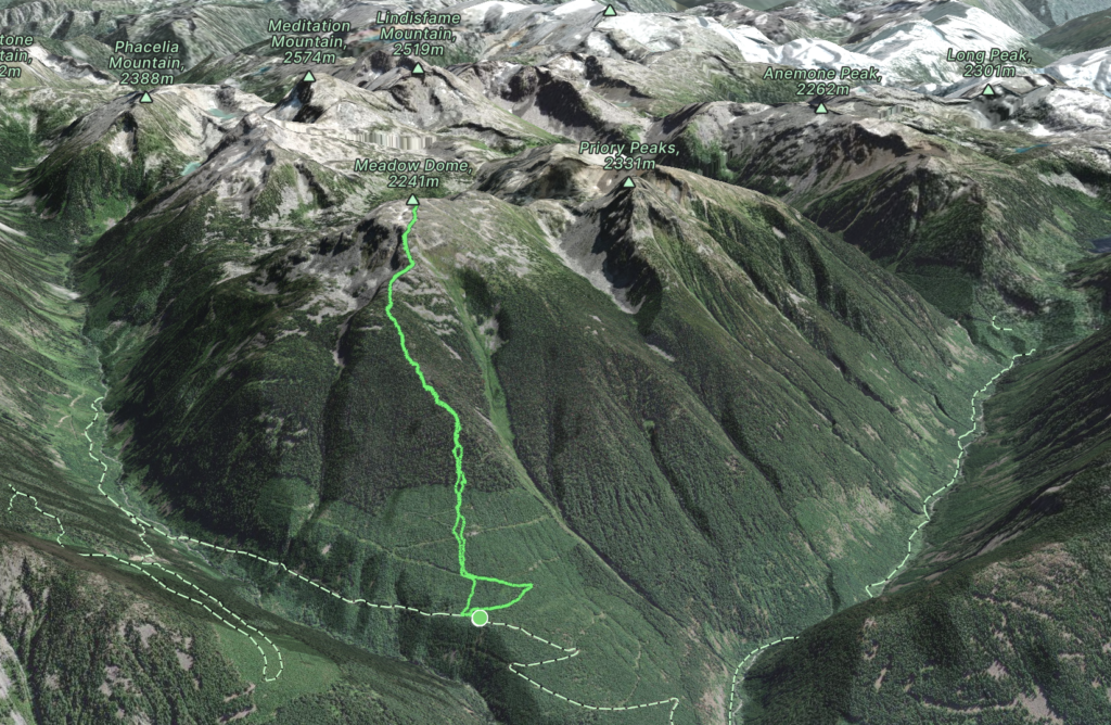
Elevation Gain: 1,388m
Distance: 8.94km
Total Time: 6 hours 17 minutes
Date: March 29th, 2024
I had plans for a big ascent on Saturday and Sunday, but still wanted to make use of my day off on Friday. That had me in search of something not too challenging and hopefully without much foot traffic. The weather was looking best towards the Duffey, so I scanned a bit further south and happened across an unassuming peak called Meadow Dome. It’s an area I had not explored yet and had only a few reports online, so almost guaranteed to be empty! Brayden happened to be free on Friday as well so we teamed up.
In the summer time there appears to be an old trail up to the nearby Battleships Lake, but that would require getting quite far down North Lizzie Mainline. I wasn’t confident with the snowline that would be plausible. Not to mention we’d have to come across a fair bit of avalanche terrain. Instead the approach up the north west ridge looked the most appealing, provided the snowline wasn’t too high. An old cutblock could get us to to about 1100m and then we’d be bushwhacking or snowshoeing from there.
To avoid an early morning drive out to Pemberton I decided to drive up on Thursday evening and camp at Nairn Falls. Brayden was meant to meet me in town at 7am, but I got a text around 6:30am saying he slept in and wouldn’t be there until 9:30am. That still gave us enough time, but now I had 3 hours to kill. I figured I might as well go do some service road recon up Pemberton valley and went to check out the Ryan River area. Brayden met me at the coffee shop a few hours later and we took my truck down In-Shuck-Ch FSR.
We then drove to the cutblock up North Lizzie Mainline and discovered… another truck. Last minute I decided we should see if we can get to the cutblock below Twin Two Peak and try for that instead. Unfortunately, the road ahead was blocked by large boulders, so we resigned to Meadow Dome with the chance of running into the occupants of the truck. Not that I mind running into anyone on hikes by the way. There’s just something more enticing about going where others rarely do, so if you’ve set off to do a trip like that it sort of changes the atmosphere.
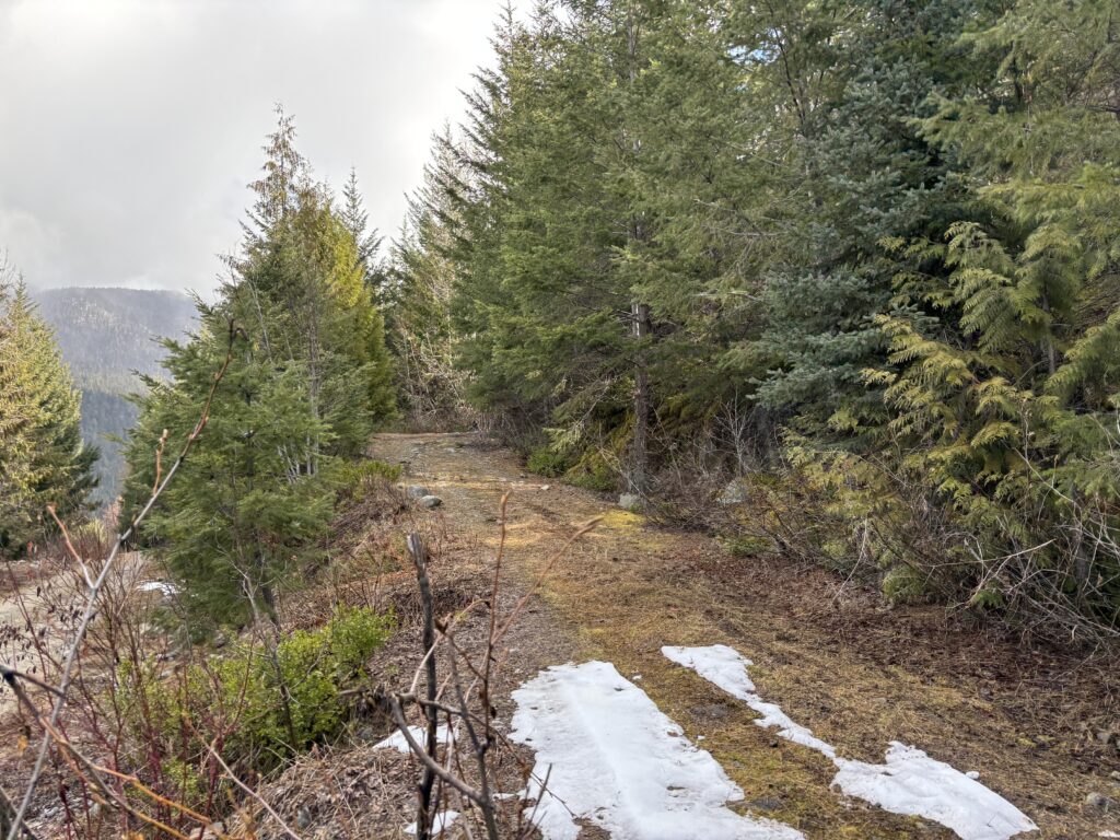
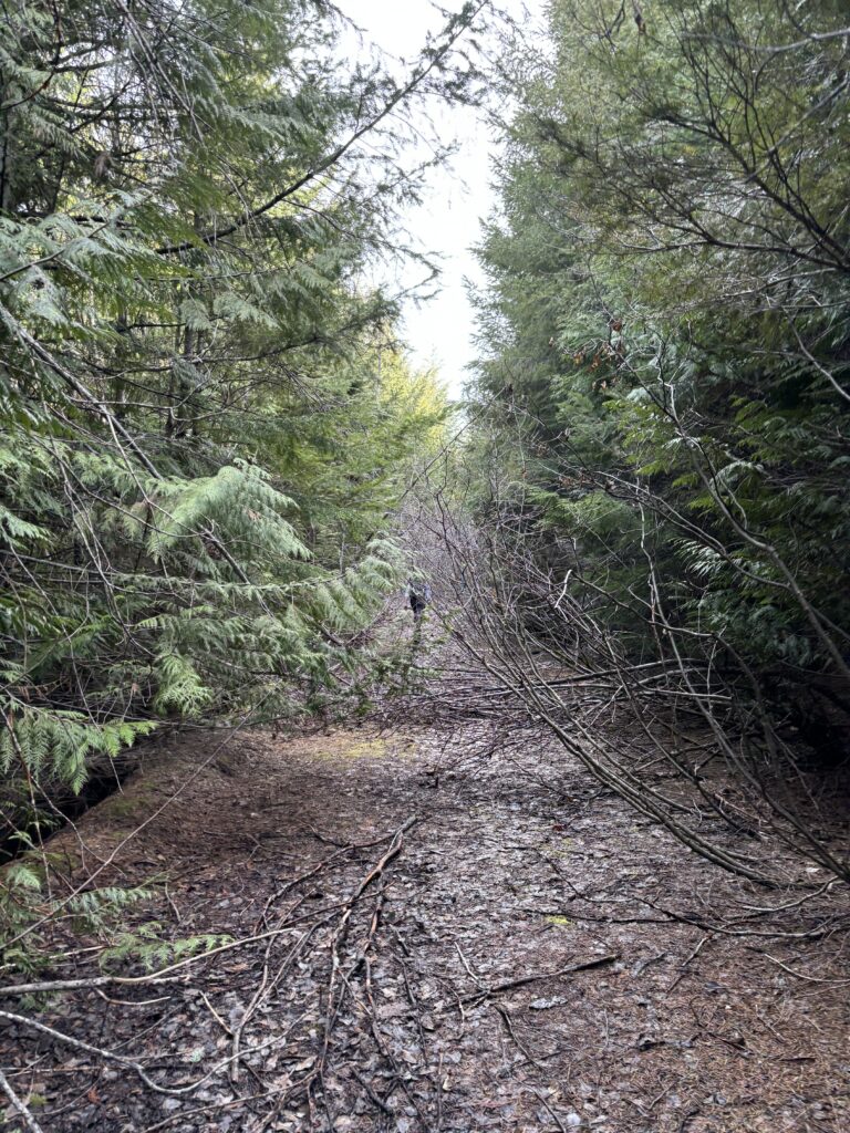
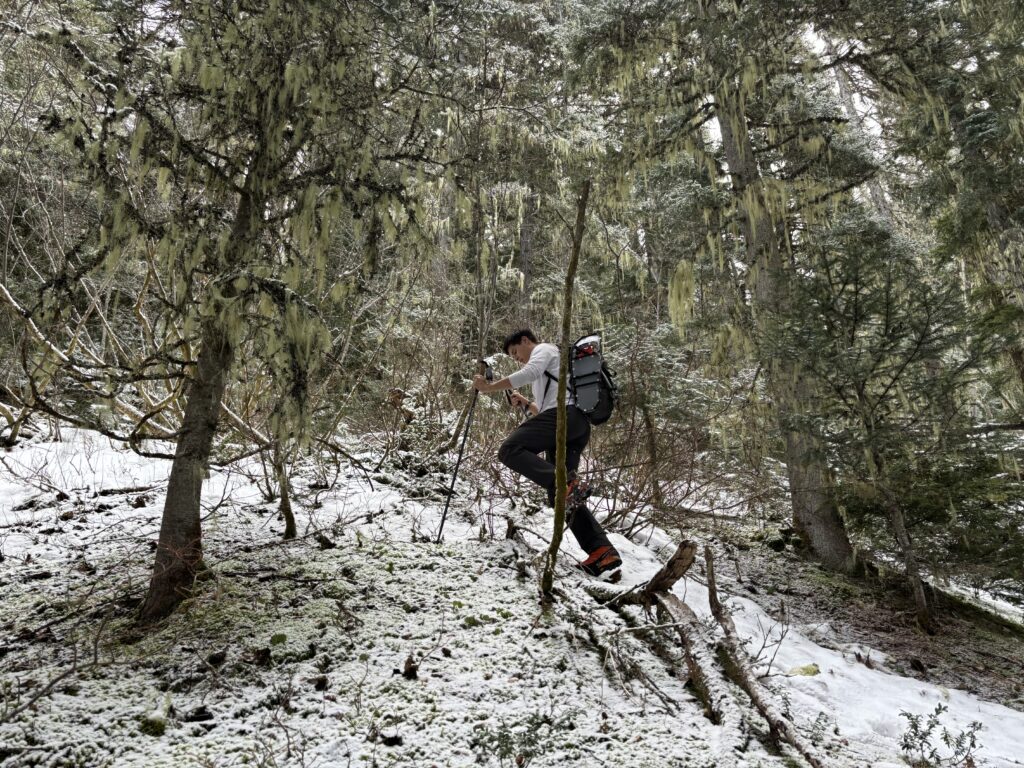
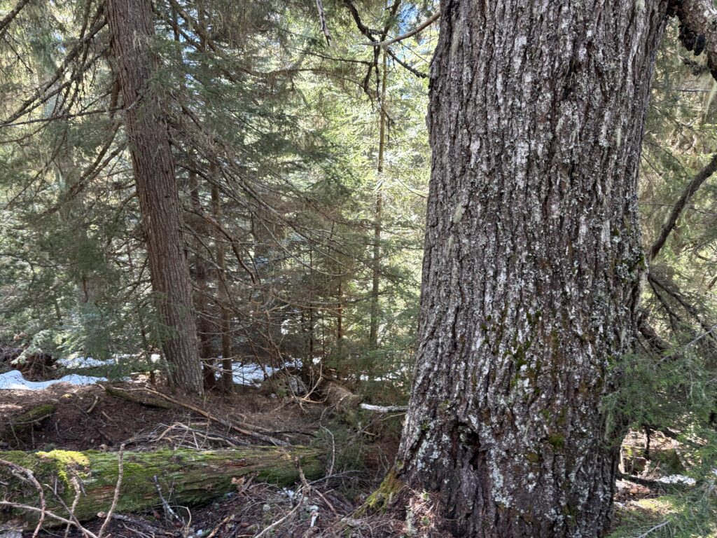
With that we hit the old cut block road and ran into countless shiny new looking survey flags. Perhaps these were surveyors and not hikers after all. We took one more switch back and then the road became engulfed with enough alders to warrant bushwhacking instead. The second growth forest turned out to be pretty open so we cruised up that to the very end.
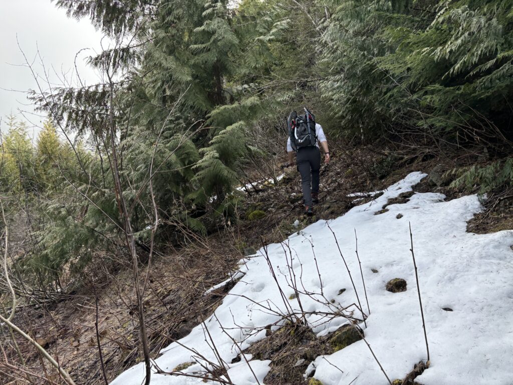
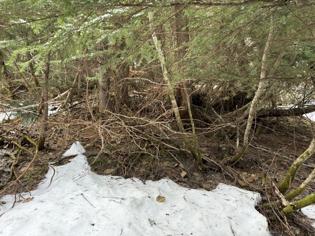
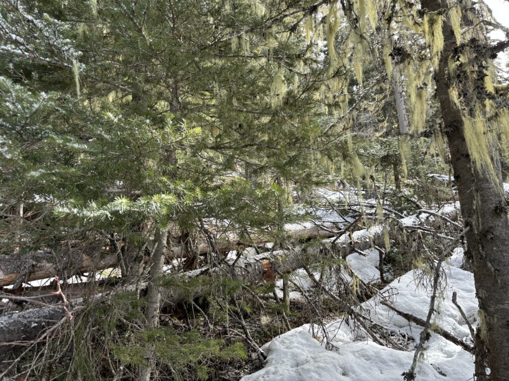
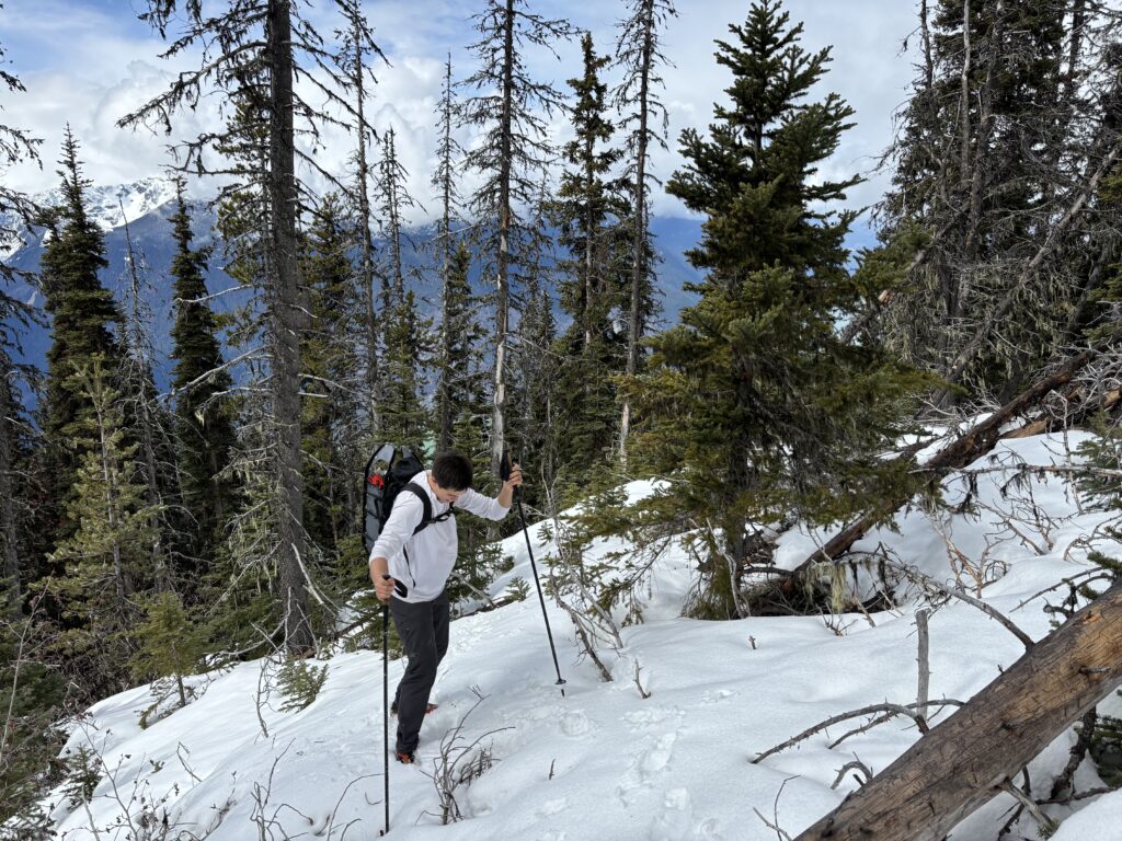
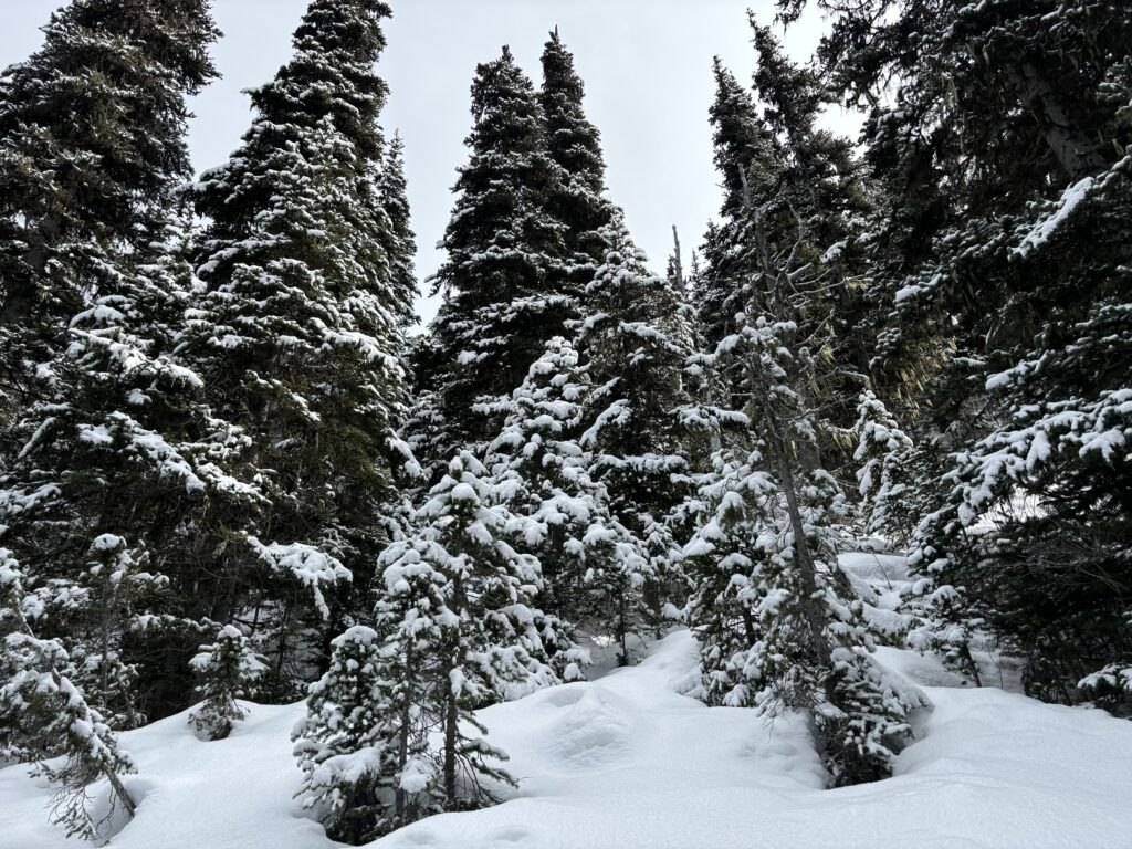
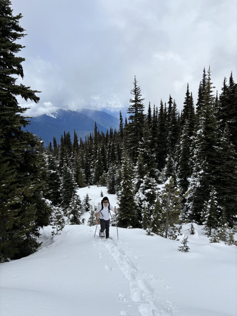
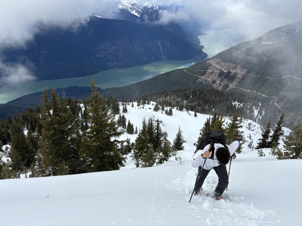
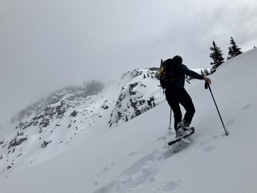
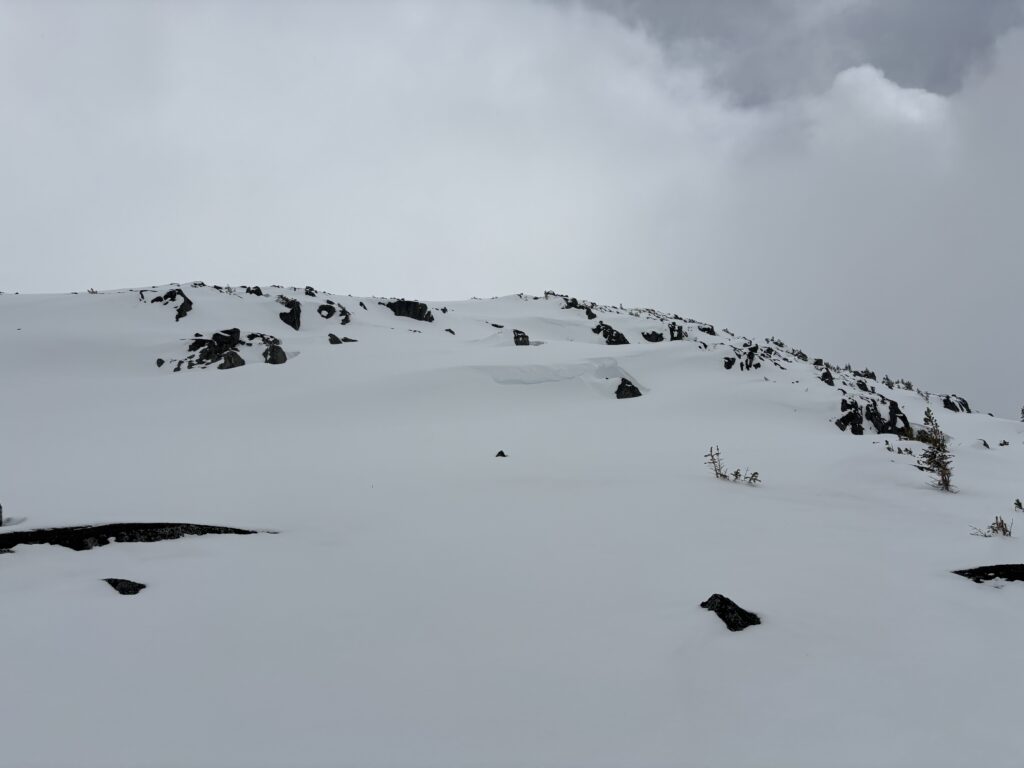
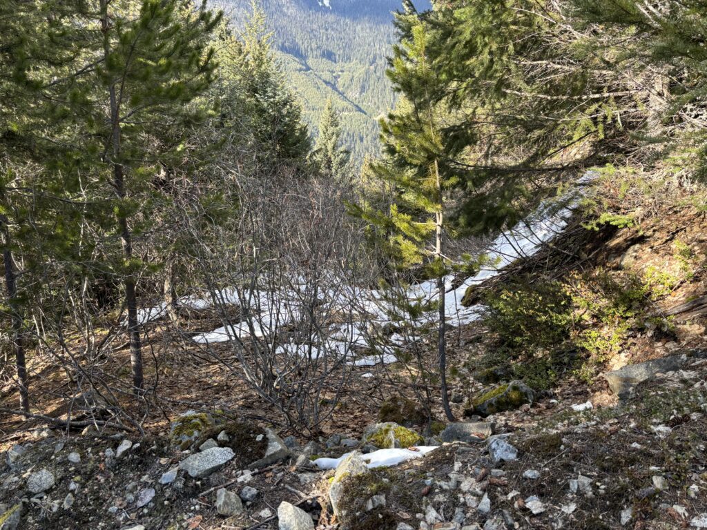
Once out of the cutblock we had to contend with a large band of deadfall and thin snow from about 1100m to 1400m. Above that, the snow progressively filled in until 1800m where travel became super straight forward. As we climbed above the treeline, we’d get fleeting views of In-Shuck-Ch peak, but the remaining area was clouded in. At around 1900m we were funnelled into a narrow-ish ridge to avoid steep avalanche terrain on either side. The snow was like mashed potatoes with a slippery bed surface beneath making for some hilarious spills on the way up. Above the narrow ridge, the route opened up into a broad summit area and we simply marched the rest of the way to the top.
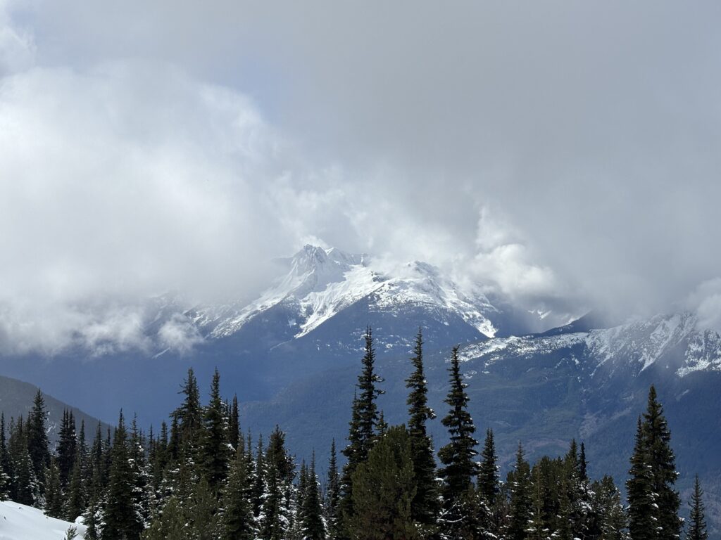
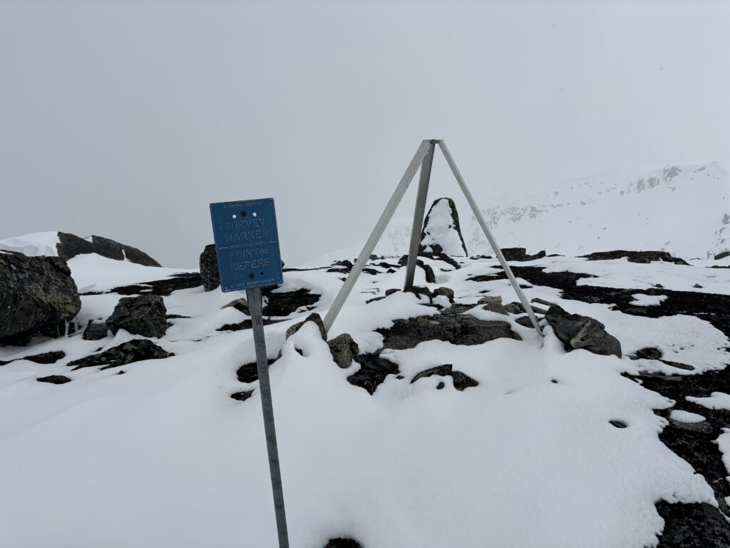
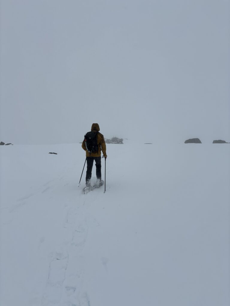
Naturally, we ended up in snowy clouds at the top and our views were non-existent. I was hoping to get a look at Priory Peaks and its north face, but that will have to come at a later time. With little views to see, we headed down following our snowshoe tracks back to ~1800m. There we switched back to boots and roughly followed our ascent line back through the deadfall zone and into the cut block.
Without snow we couldn’t follow our line exactly, but it’s all downhall on a broad face so we just took the path of least resistance. Once at the cutblock we skipped all the roads and bushwacked all the way back to the truck. This proved to be much faster overall.
It’s too bad the views were lacking as it’s supposed to be a beautiful area. I’m sure I’ll be back for some other objectives around. At least it was nice exercise!