Elevation Gain: 417m
Distance: 23.77km
Total Time: 2 hours 55 minutes
Date: November 14th, 2023
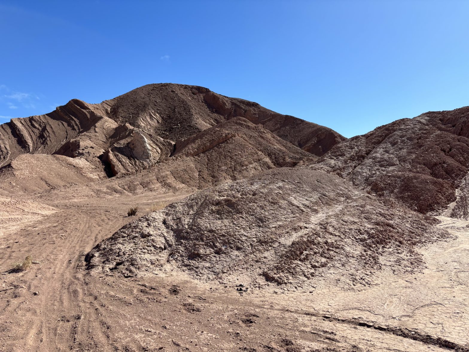
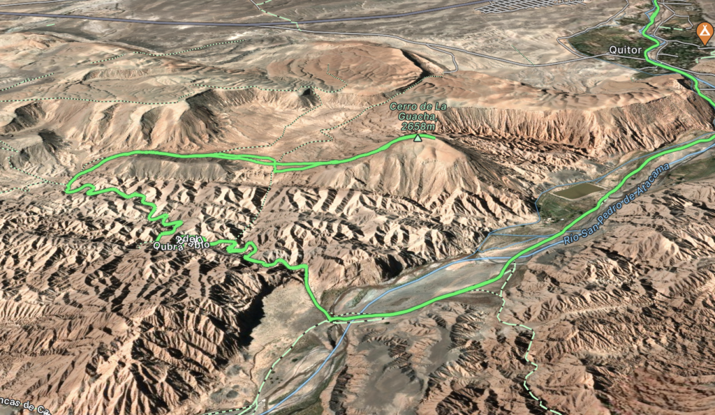
After coming back from our long 4 day trip through Uyuni, Andrea and I were looking for a small afternoon adventure to fill our rest day. Since arriving in San Pedro de Atacama, I had been perusing the maps to see if there were any local summits we could climb. Only two peaks within walking/biking distance produced themselves. One: Cerro El Marmal required travelling a ways along the highway towards Calama. It didn’t seem all that appealing. The second: Cerro de la Guacha, was just outside of town and appeared to be nestled into a series of canyon-esque dunes that make up the Cordillera de Sal. It was this summit that I figured would be a perfect destination for our afternoon adventure.
Looking more at the details it seemed we could take a trail call Quebrada del Diablo by bike and then hike up through the canyons from there. The summit is about 8km out of town and visible from the north end, albeit without much more than 100m of prominence. That’s all the info we needed, so we rented some bikes and set out for the trailhead.
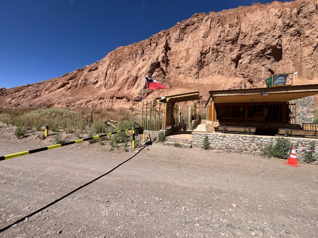
We biked a few kilometers out of town and then along Rio San Pedro de Atacama on a series of gravel roads. As we rounded one of the final corners before the trail head, a locked gate and parking presented itself. My spider senses tingled as I detected an incoming entrance fee that’d have to be paid. Sure enough, an official was waiting nearby the gate to accept payment. For the uninitiated, San Pedro de Atacama is a beautiful city, but somewhat of a cash grab. It’s practically impossible to site see anything without paying. I was banking on a local bike ride to cost nothing more than the rental but even that was not to be so. I reluctantly paid the fee and then Andrea and I continued on our way.
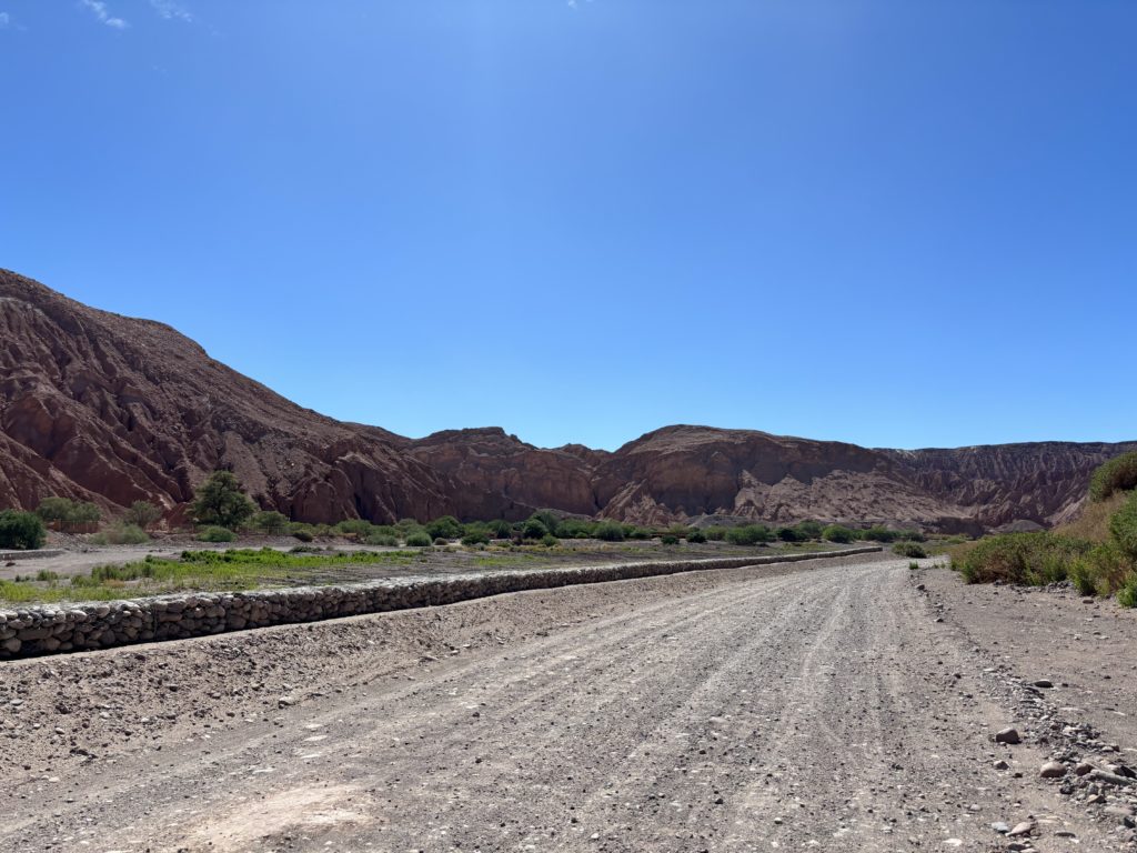
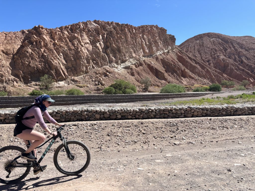
We biked for a little longer by the river before the trail veered into the canyons. Neither of us had really done much research on the actual canyon part and so upon our first few pedals in, we were awestruck. The trail wound through huge vertically carved sand faces. Many of the walls leaned over at precarious angles and it made me wonder how it held together at all. We continued along this canyon trail, biking on a perfect trail until we passed where the trail was marked on our map. However, now trail could be found, just vertical walls of sand.
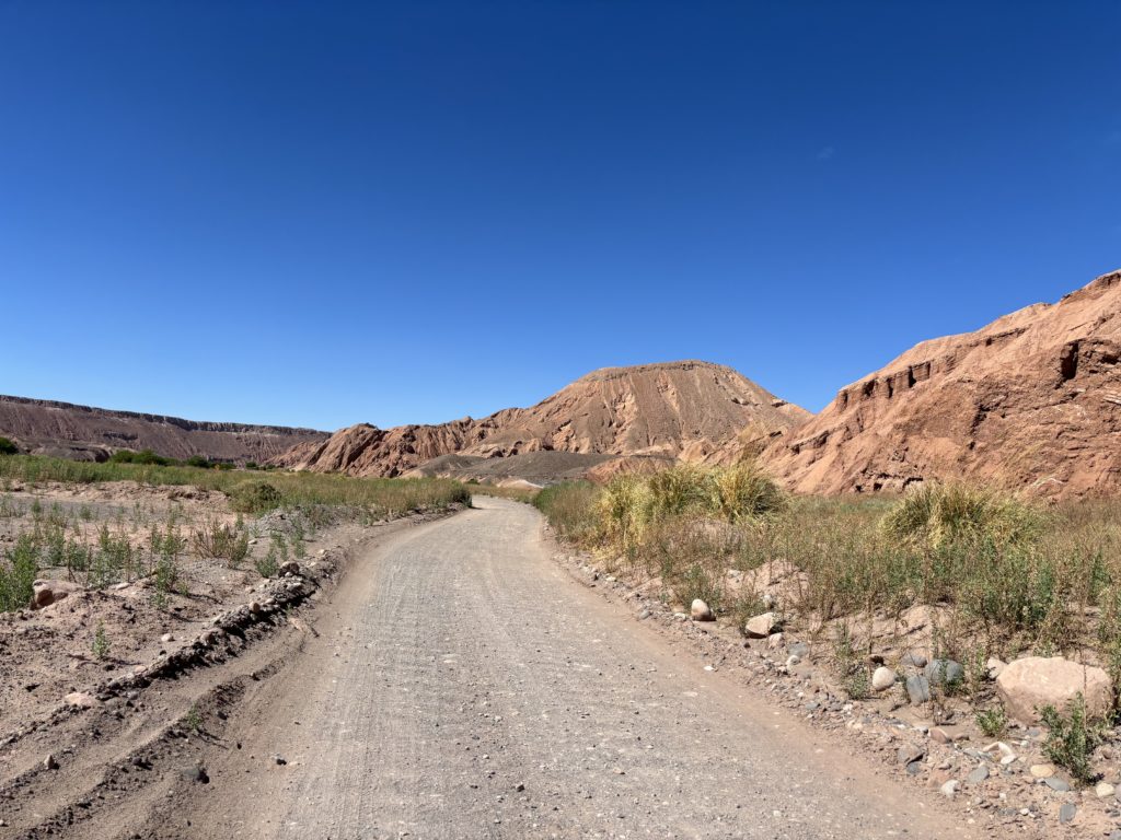
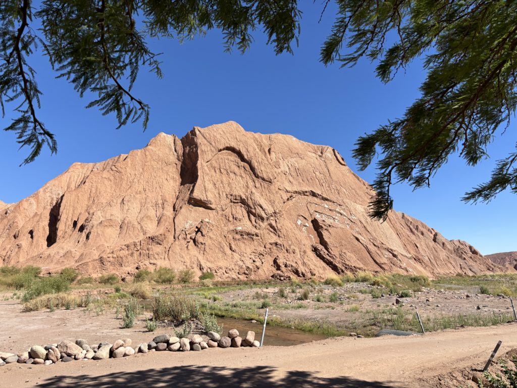
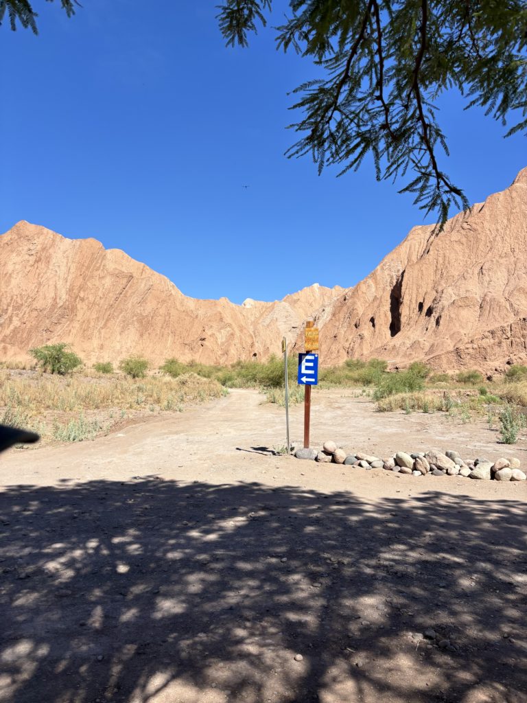
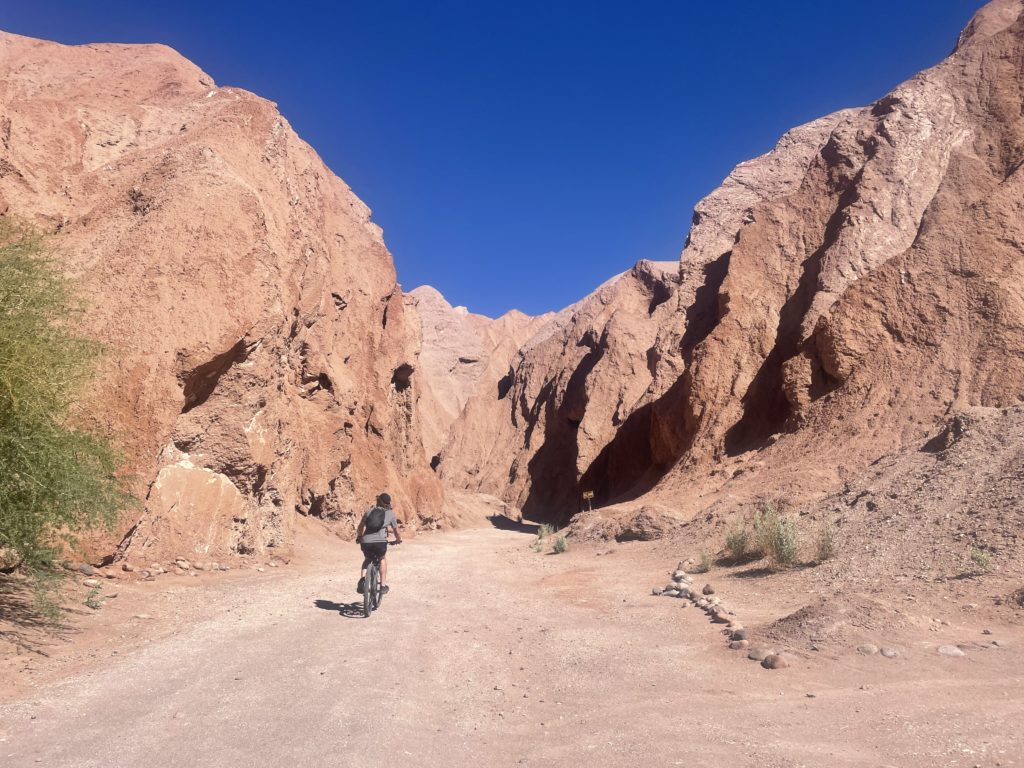
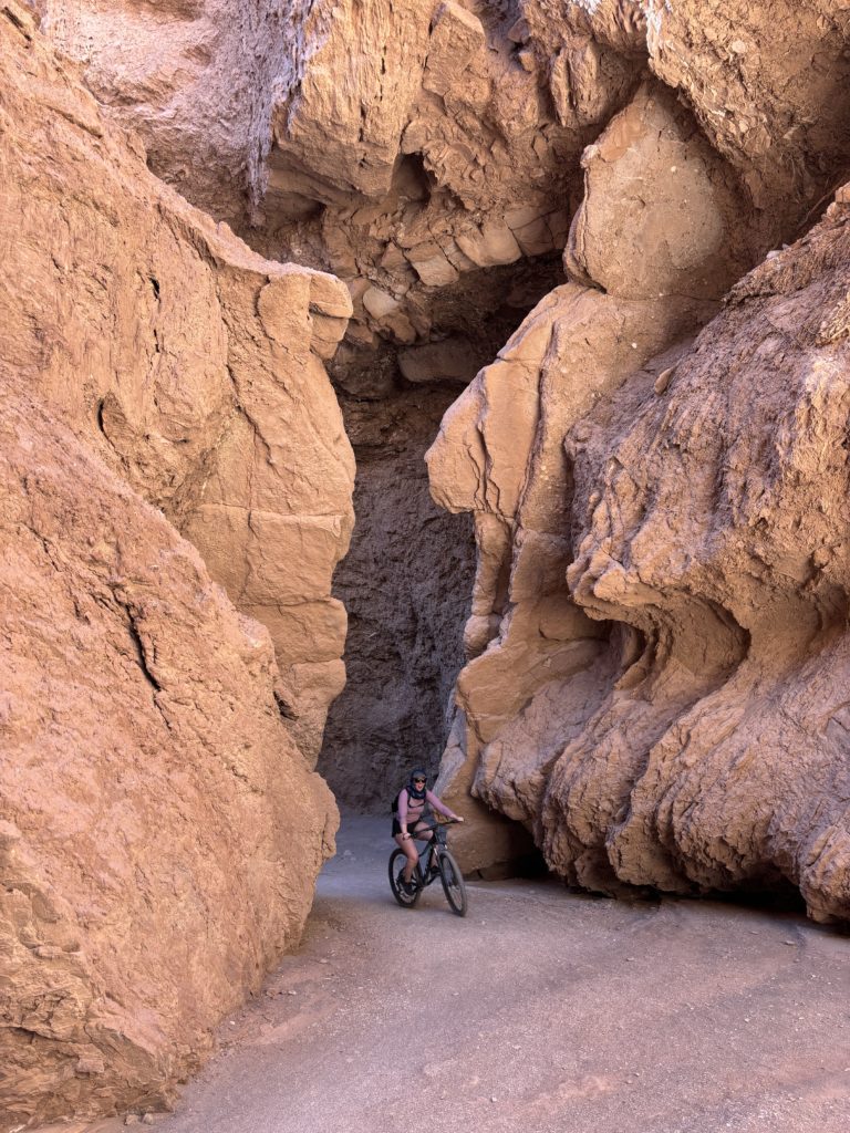
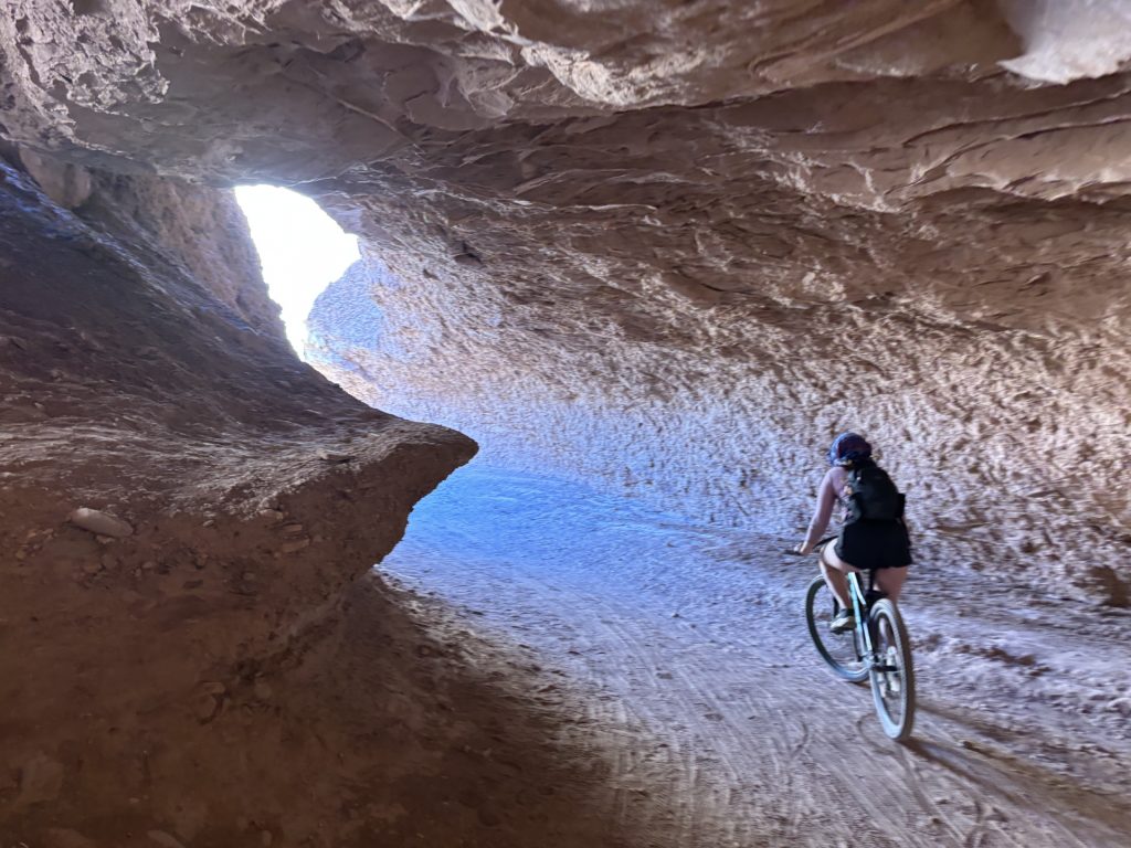
I figured we could find a way up this summit at the end of the canyon so we finished biking the remainder of the trail. Sure enough, the canyon tapered off and a well-trodden path offered a bypass around the sandy maze behind us. We ditched the bikes and walked a short ways up to a small notch. There we had the first view of our summit, still looking a ways off. Looking at the clock we were getting a bit pressed for time as we planned to meet some friends around 6PM. I figured we could run it and be back in time, but Andrea was feeling a bit gassed from the bike road. She kind offered to let me run to the summit and back while she would explore around.
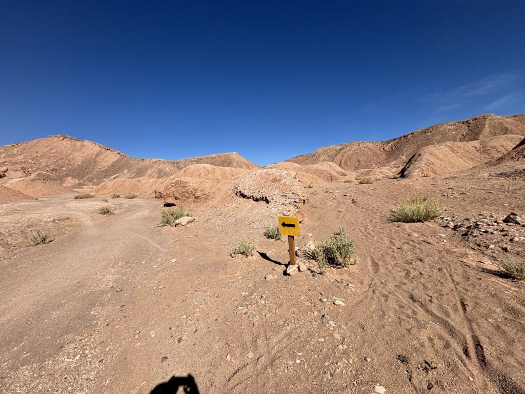
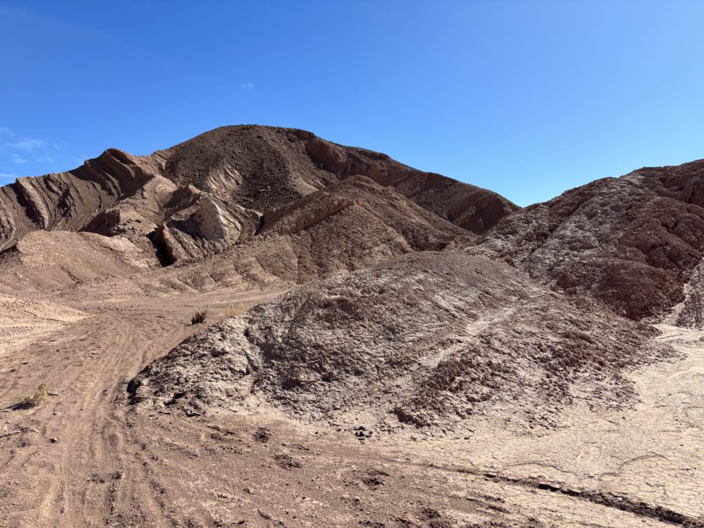
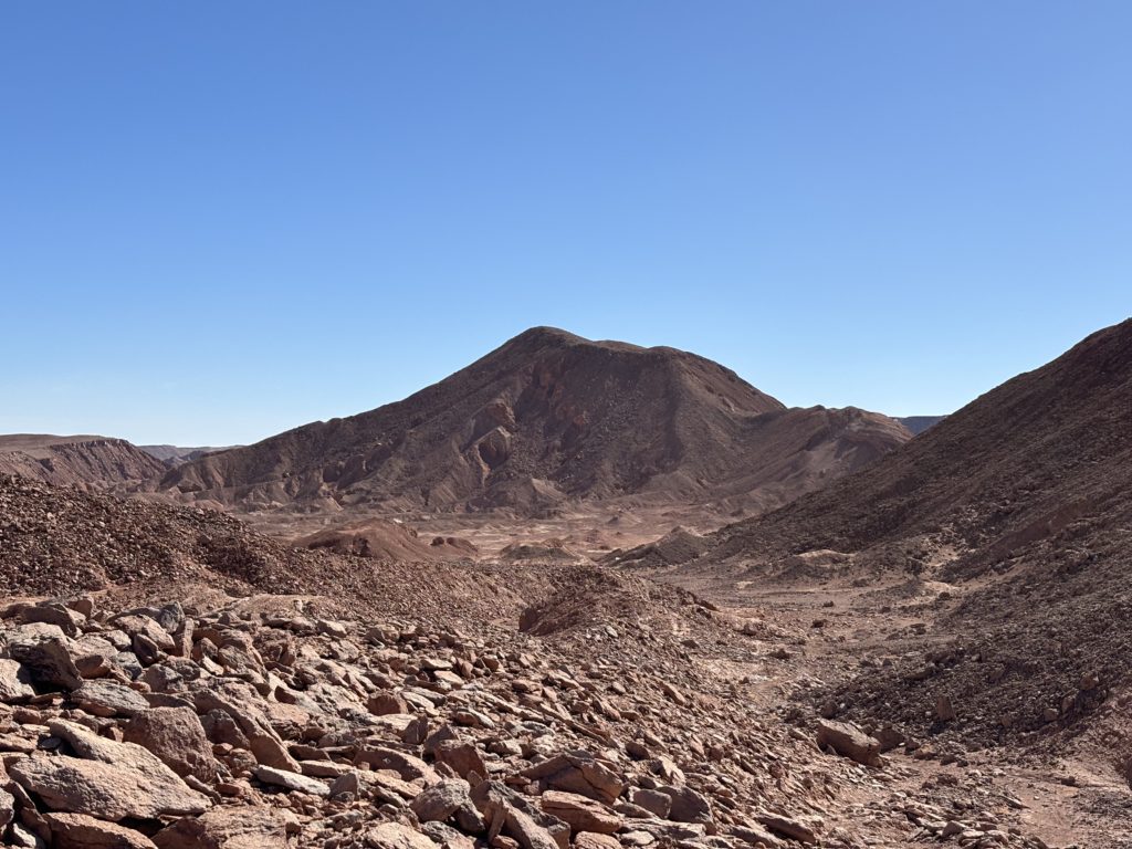
I wasted no time and started jogging across the desert scape. After a kilometer or so I reached the base of the summit slopes and picked my way up a chossy arete. It was a taxing affair, perhaps because of the altitude, but most likely because of my lacking endurance. I pressed on, feeling winded and finally topped out at the summit. Time was not on my side, so I quickly left after a few photos and jogged back down. I had to go bit more slowly on the chossy section, but picked it back up again on the long flat stretch where Andrea awaited.
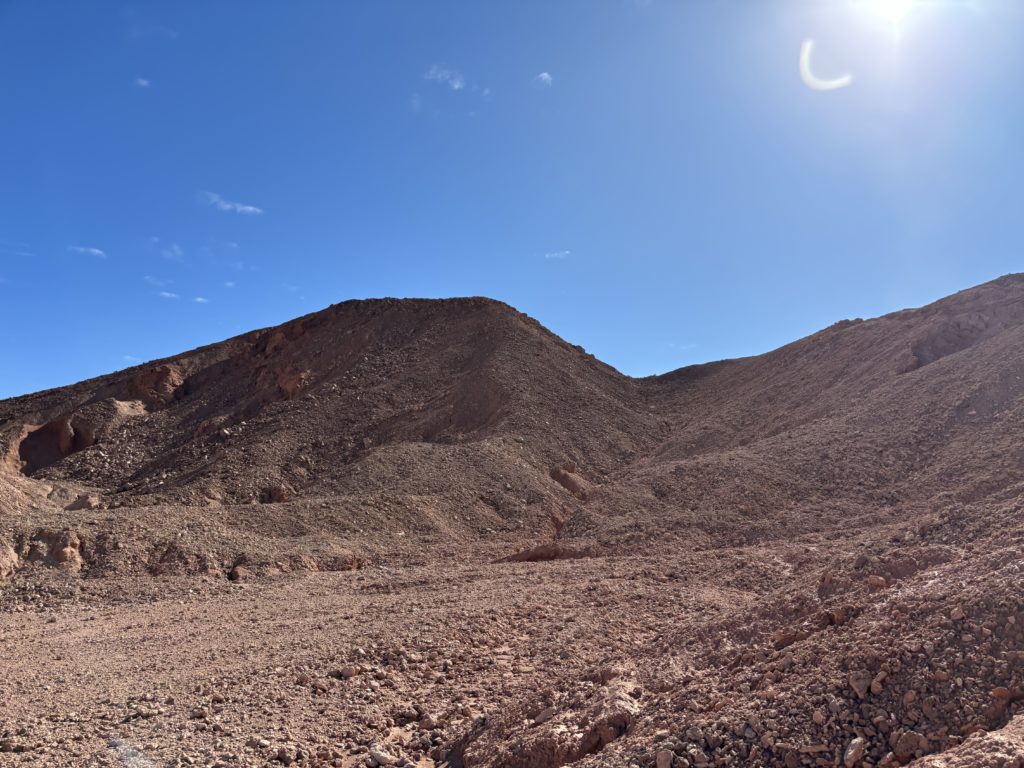
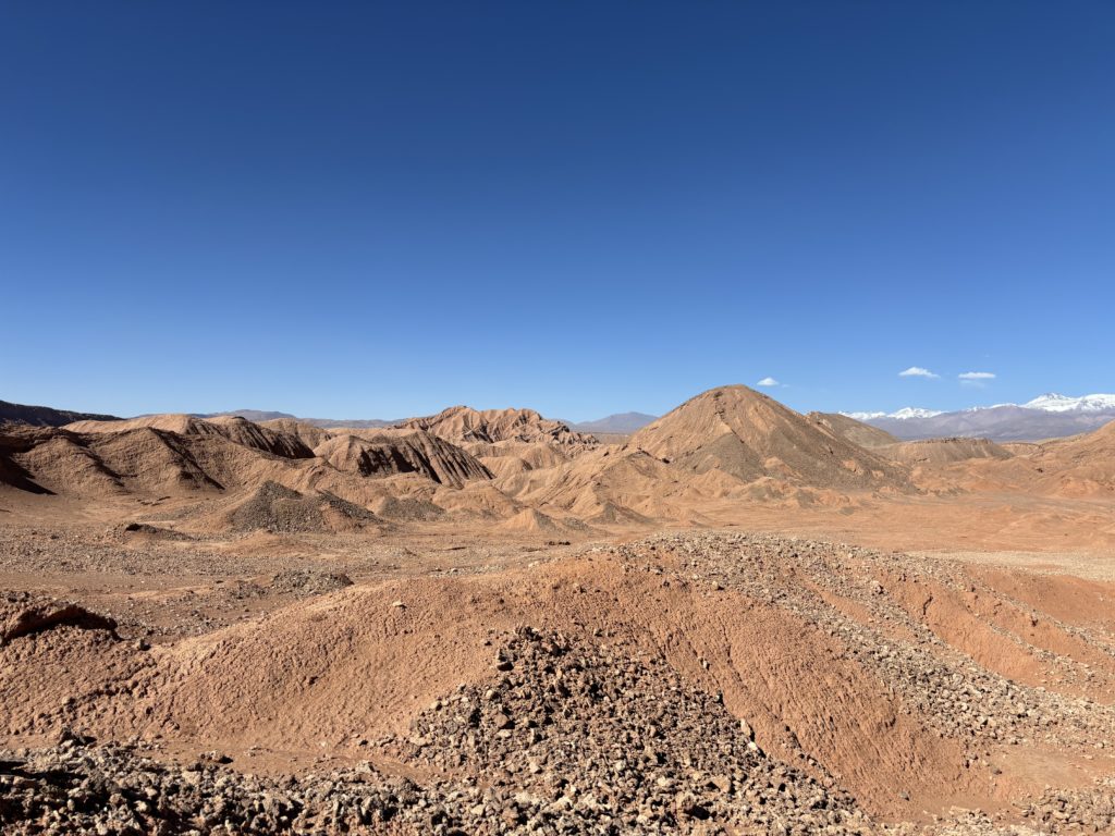
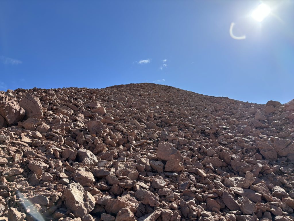
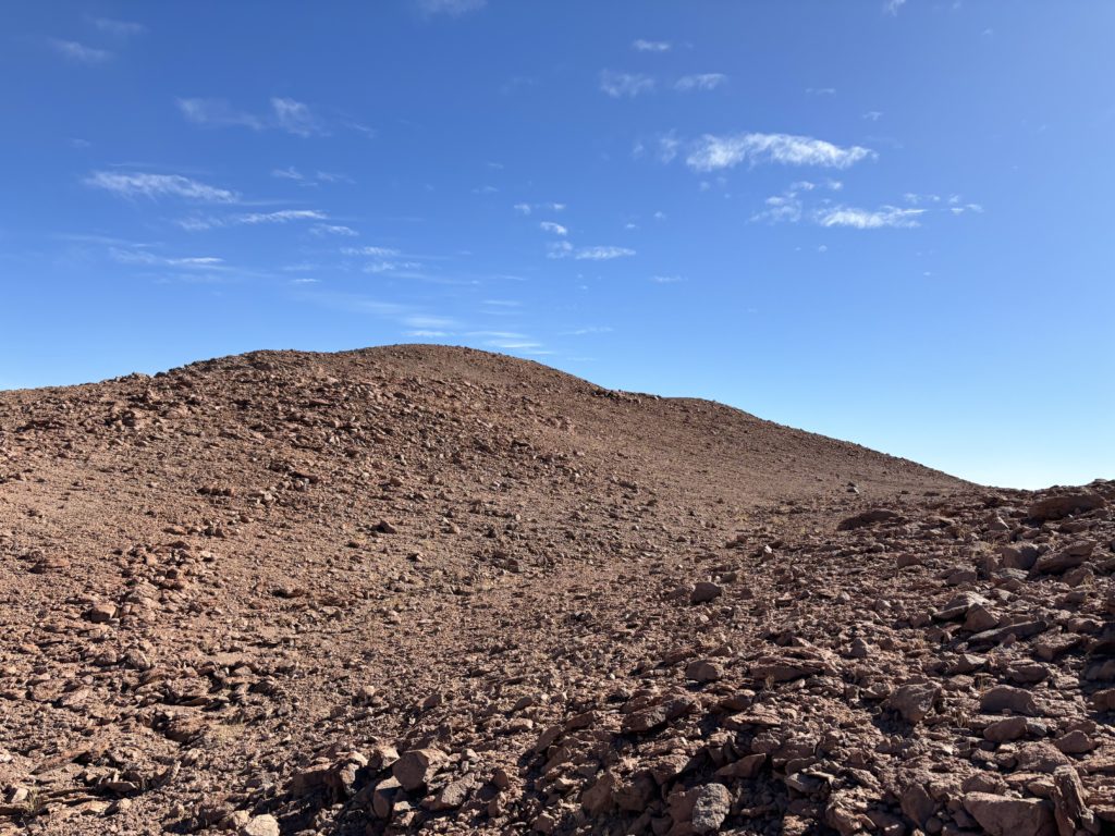
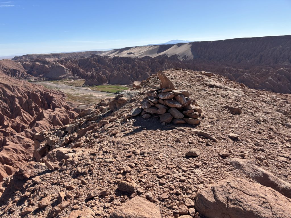
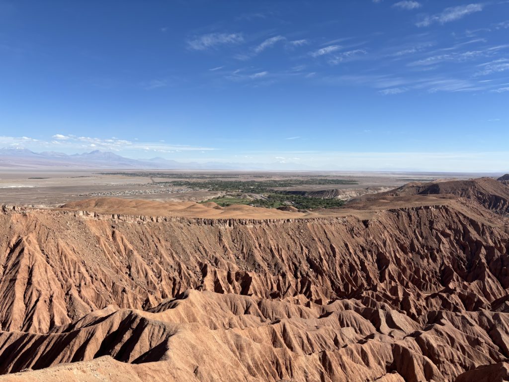
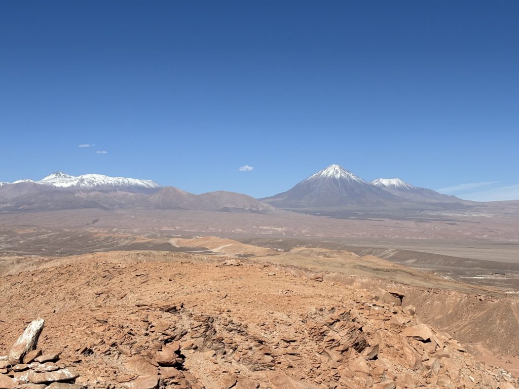
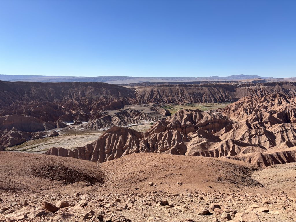
As I arrived, Andrea was just coming down from a view point and we walked back to the bikes together. We then rode out of the canyon, making the most of the fun biking trail along the way. Finally, it was a relatively short ride back into town with a slight downhill and we arrived with 15 minutes to spare for meeting our friends.
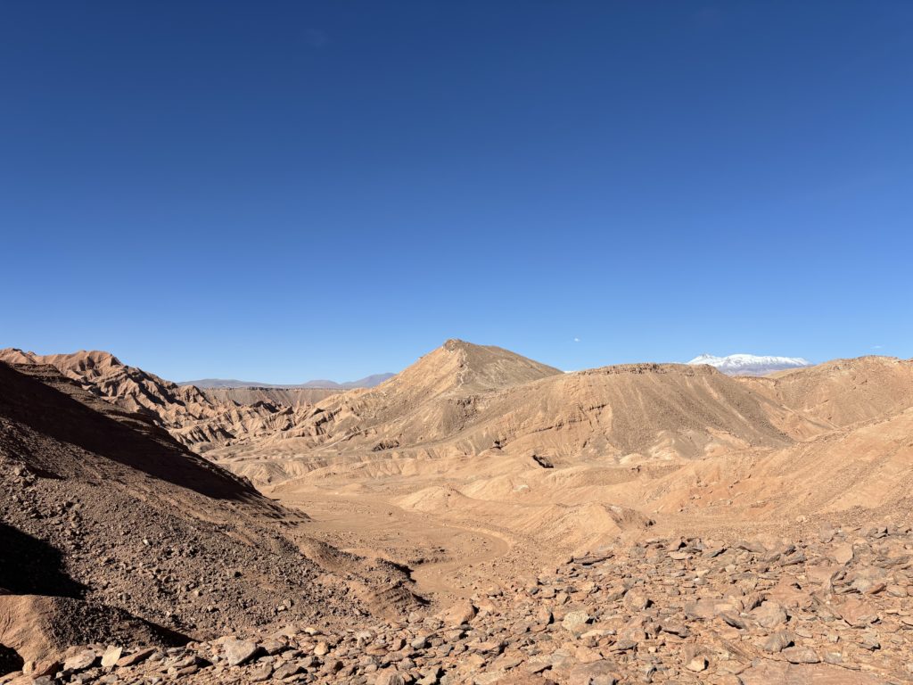
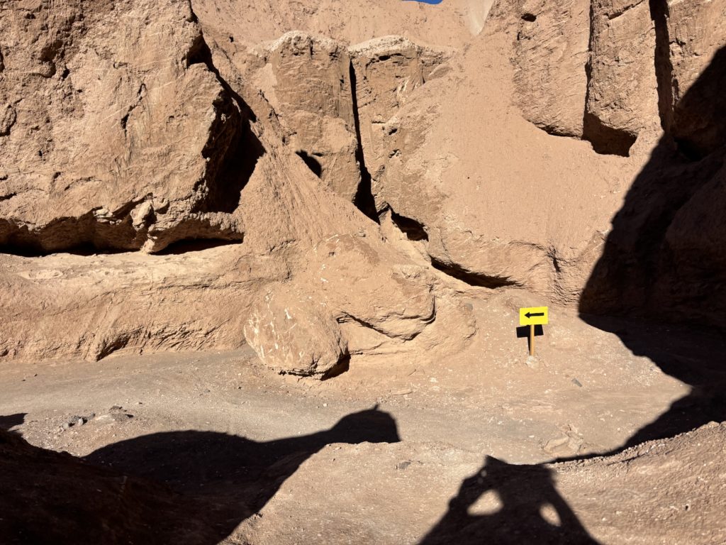
I think now, based on maps, that this summit can be accessed from trails to the south without having to pay. Of course we didn’t know the area, so we took what looked the most obvious, but in the end I have no regrets. I can see why they’d want to take payment to protect the canyons as they’re truly amazing. The biking was better than the summit for sure and it was lucky we just happened to go this way.
