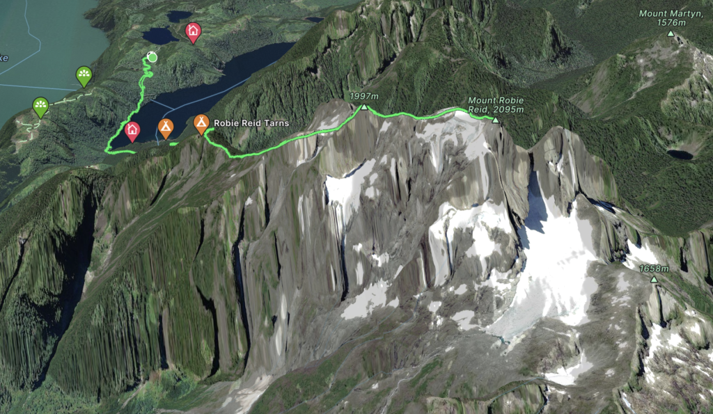
Elevation Gain: 2602m
Distance: 22.93km
Total Time: 9 hours 21 minutes
Date: October 12th, 2023
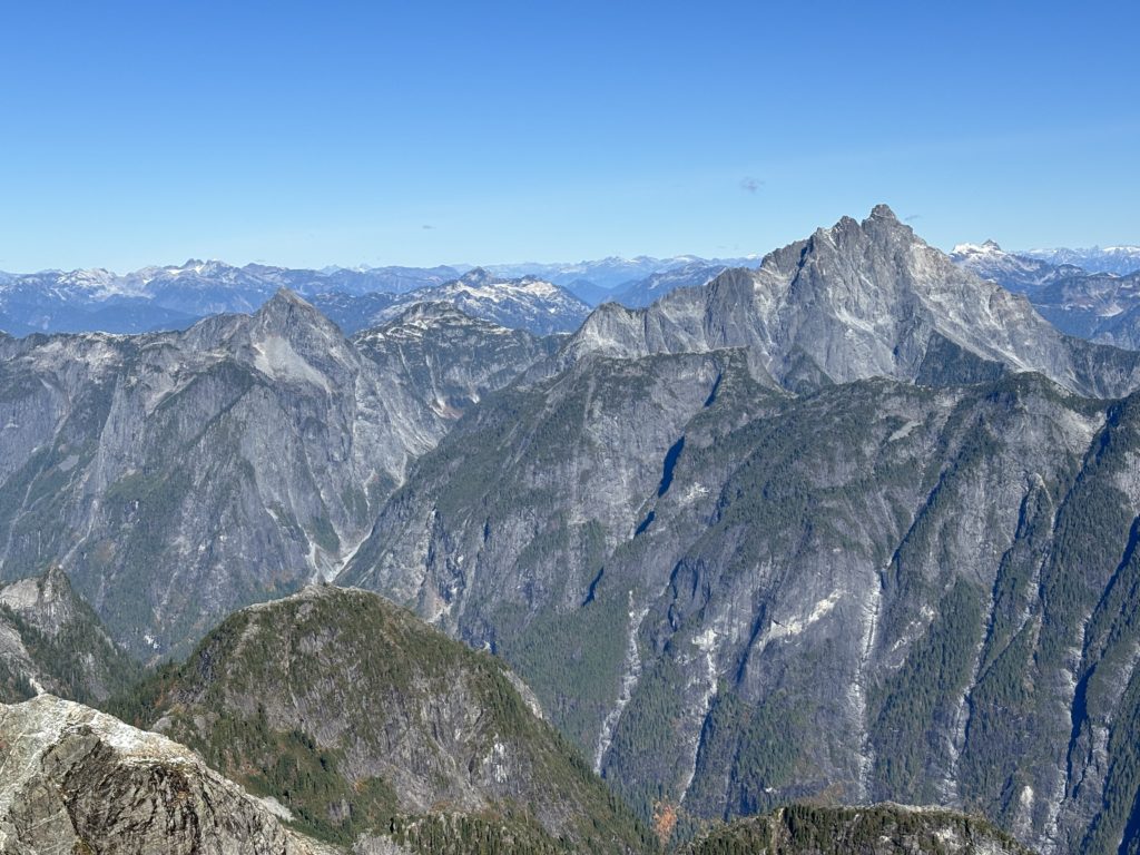
I’ve seen Mount Robie Reid’s twin summits from dozens of vantage points around the nearby ranges and most memorably from an early morning ascent of the distant Fire Spires. Just shy of 2100m it requires a further still 2600m of elevation gain to reach the top. A big outing to say the least. Despite its striking nature its never been high on my my to-do list. Perhaps because so many people climb its summit each year; it never quite fit the challenge I was looking for. Well as it goes, I had a single mid-week day off in October and wanted to push myself on a big day out. I had been originally thinking about some peaks in the Elaho area, but there had been continuous rain the last 2 days and that meant north facing bushwhacking was going to be soggy affair. Robie Reid crossed my mind a few times as most of the route is entirely south facing. I did a bit of research and finally decided to go for it. It was mid week in October so I’d likely have the place to myself and that seemed like the perfect outing.
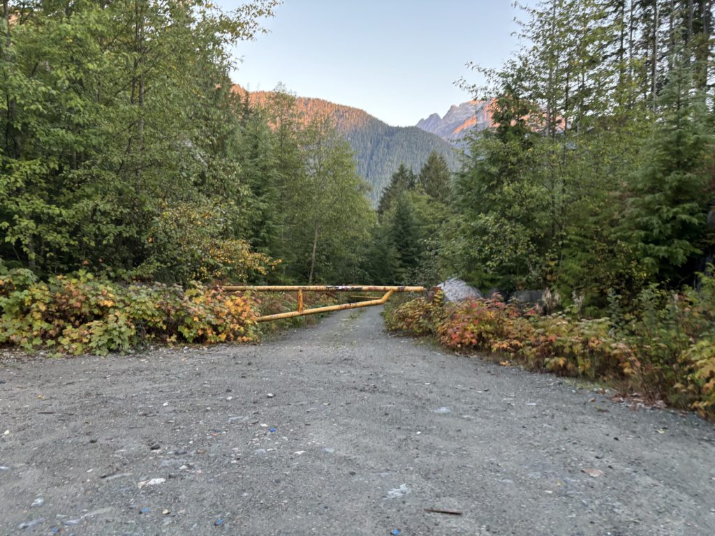
I woke up at 5:00am on the 12th but didn’t really hit the road until 5:40am or so. It was about 2 hours of driving with a good portion of that on the Florence Lake FSR. I had read a recent road report that there was a locked gate before the trail head and indeed that was the case. A convoy of contractors happened to be just behind me when I pulled beside the gate and I was able to get some confirmation that they’d be locking the gate for the next few months. Oh well, it’s an extra 500m walking to the trail head so not the end of the world.
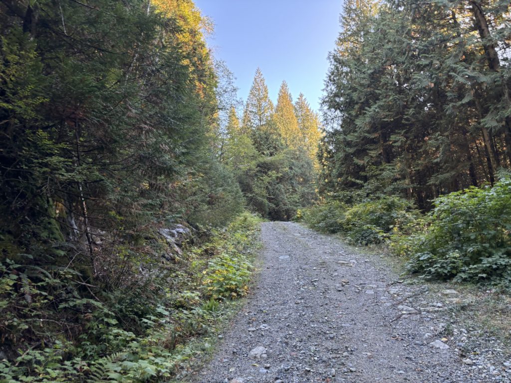
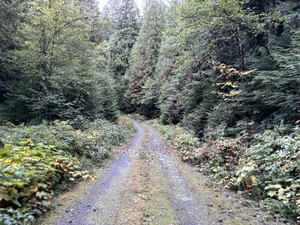
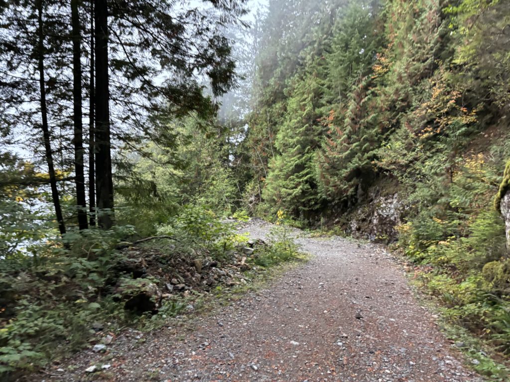
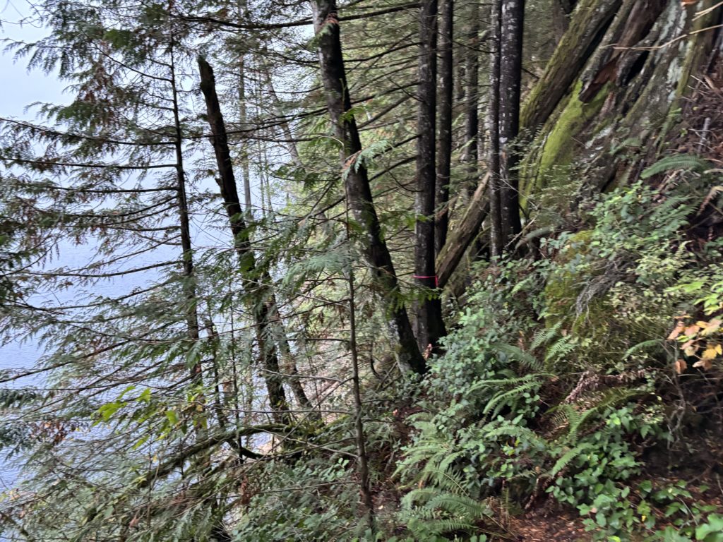
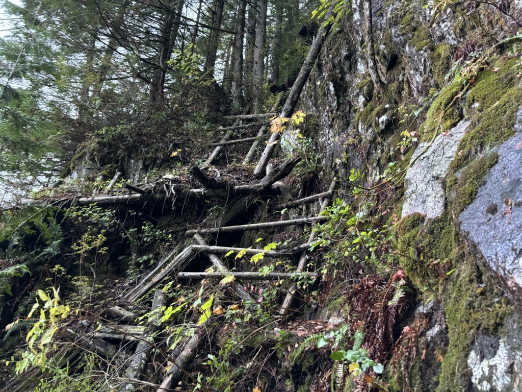
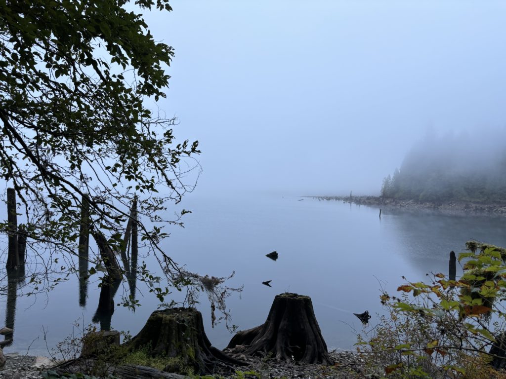
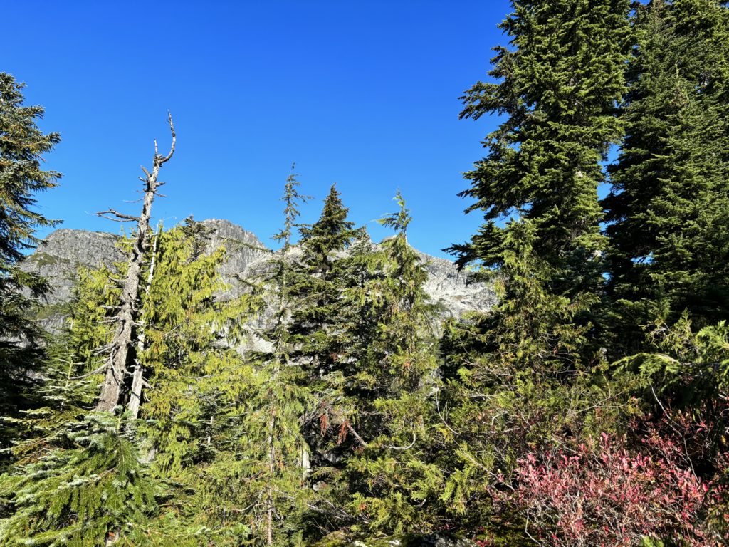
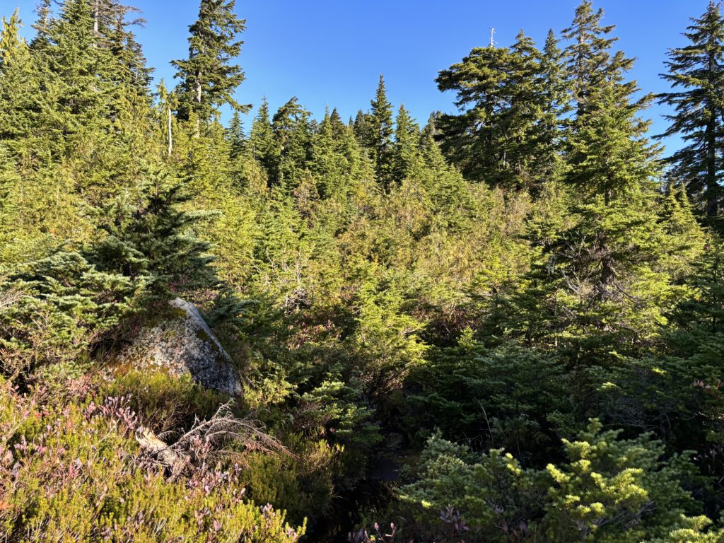
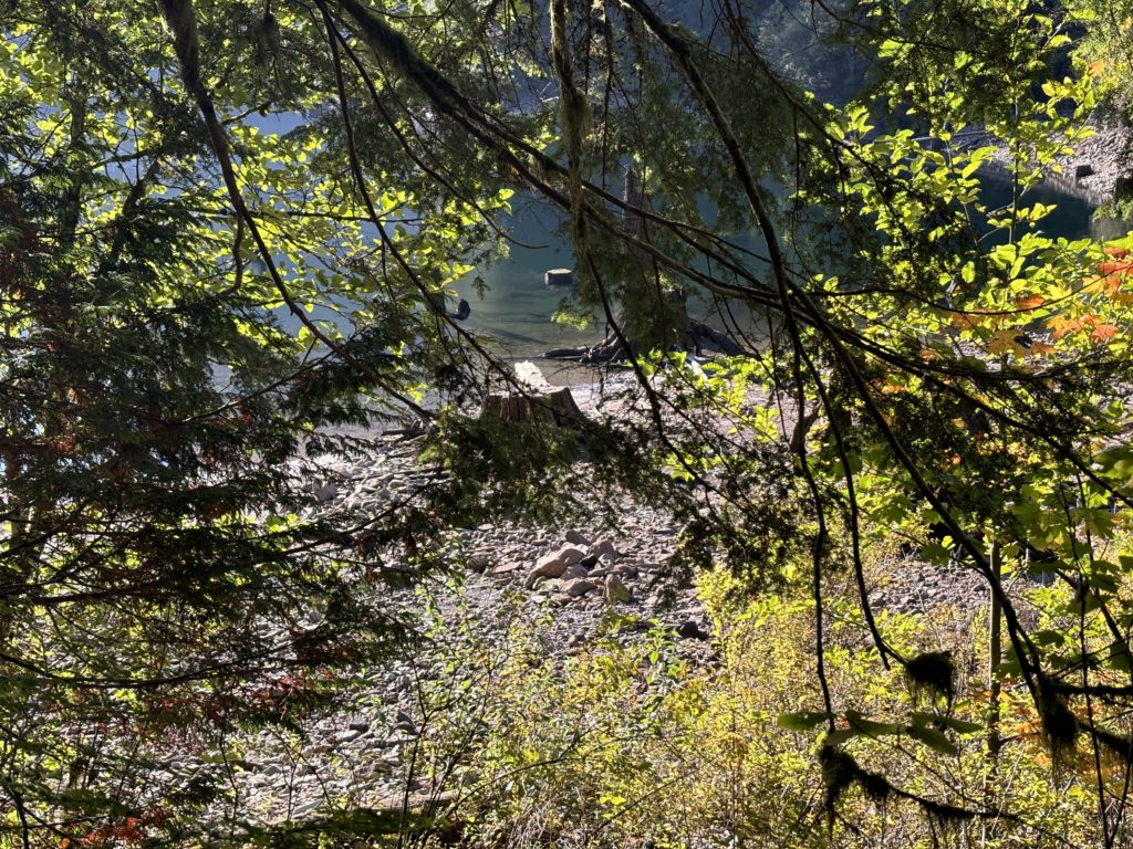
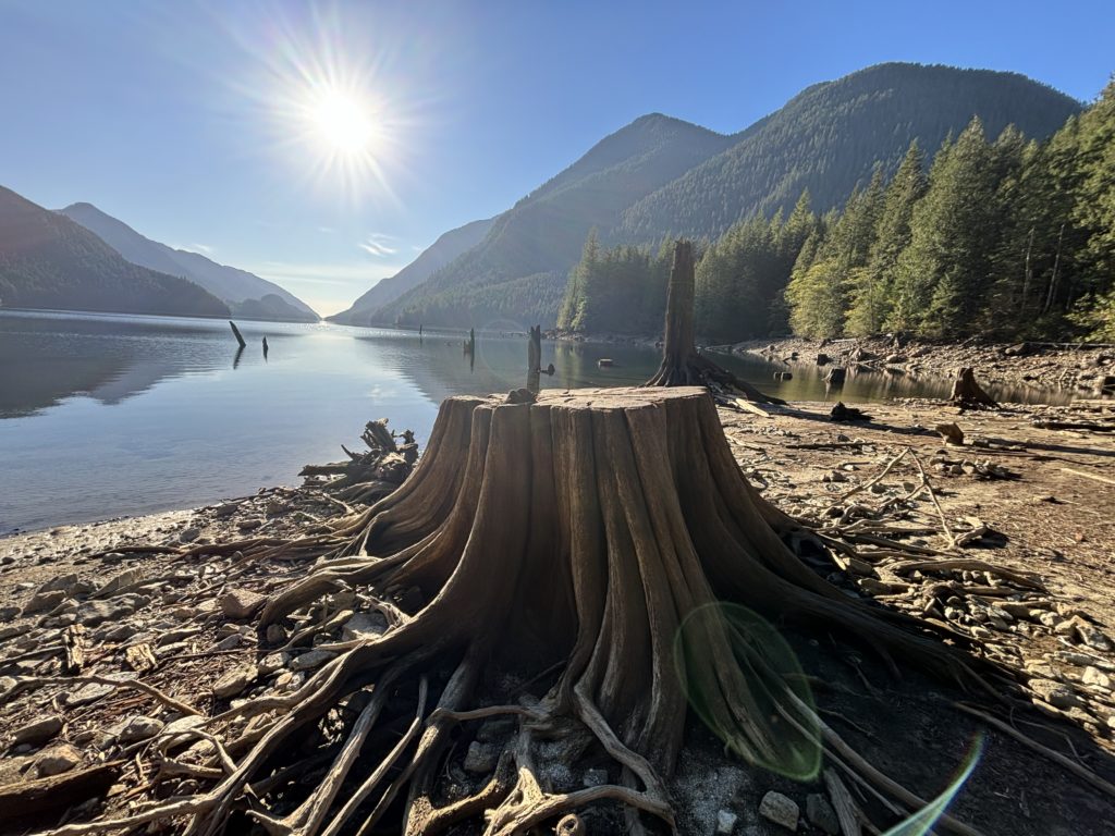
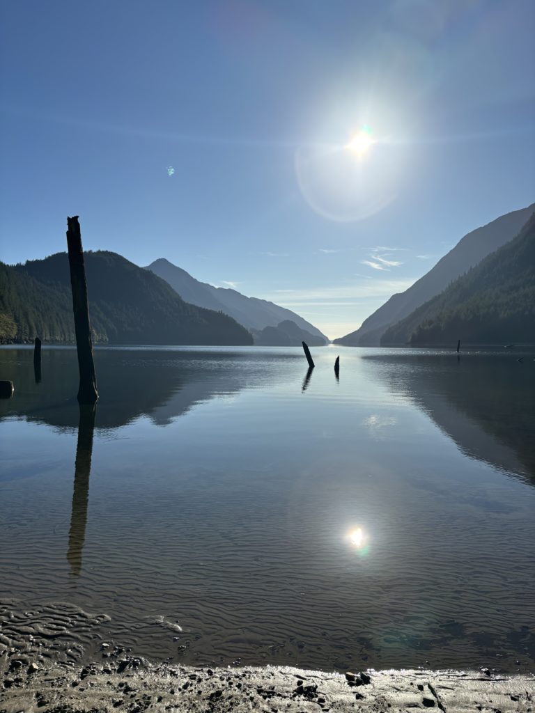
I headed down the road, past the trail head and two back-to-back locked gates before locating the trail turn off. The route along Alouette Lake was not too bad, although one section required scrambling up rotten log structures that were ready to crumble. A few hundred meters beyond that the trail drastically improved and I followed it all the way around the west side of Alouette Lake. Now the forest opened up and revealed a storied history of what once was. Massive tree stumps dotted the forest floor all around me and I could only surmise what a sight it would have been.
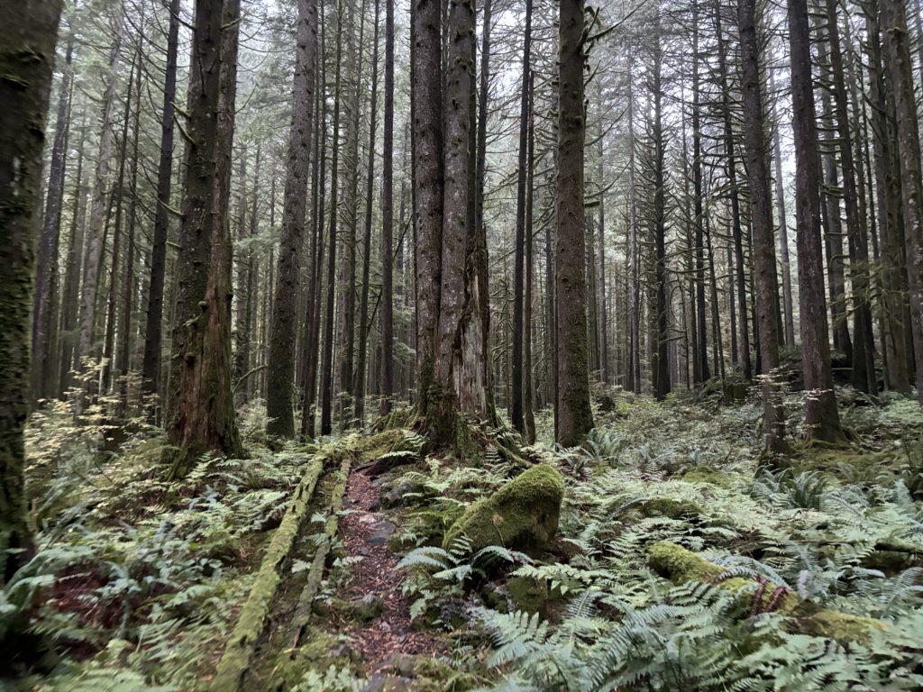
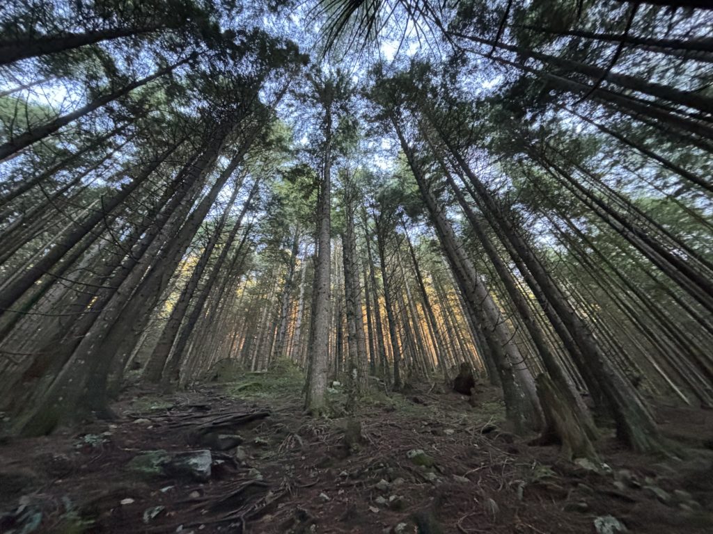
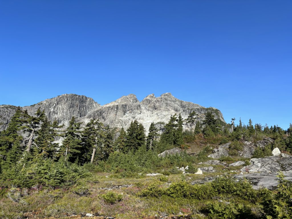
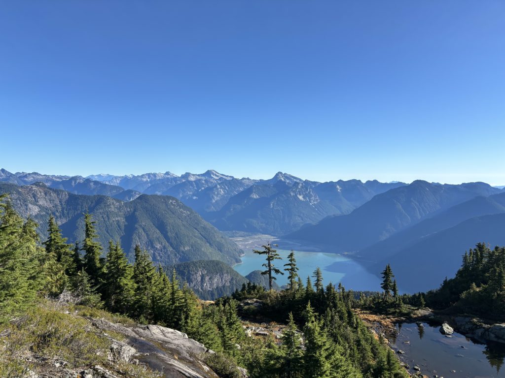
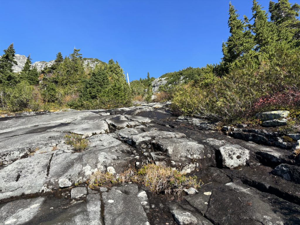
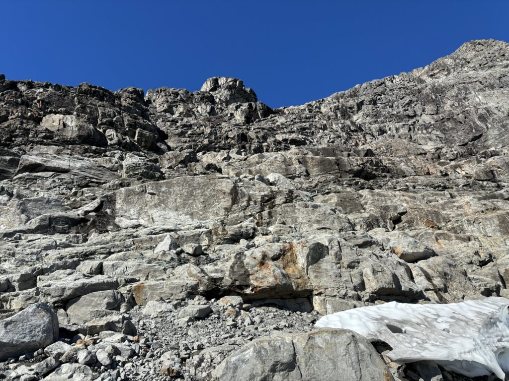
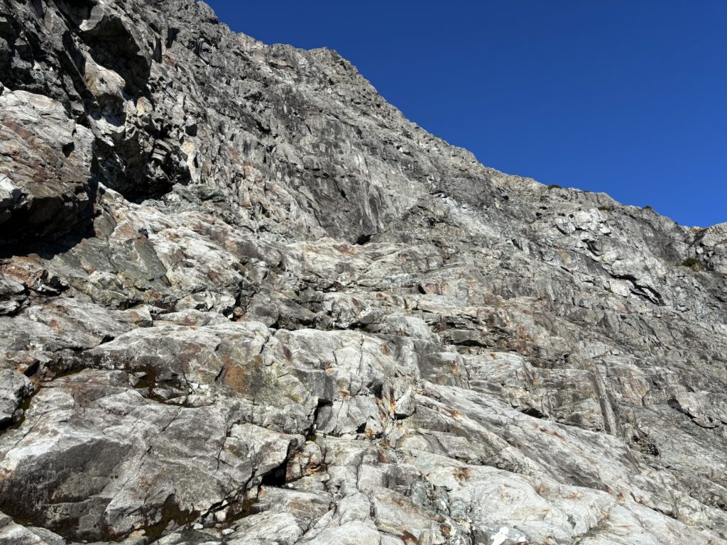
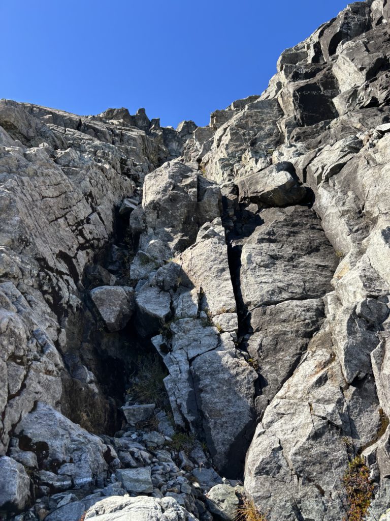
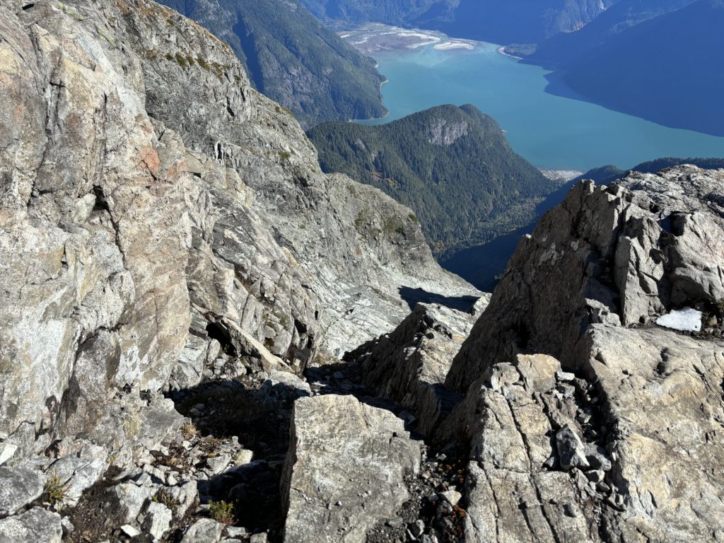
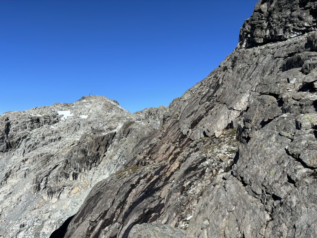
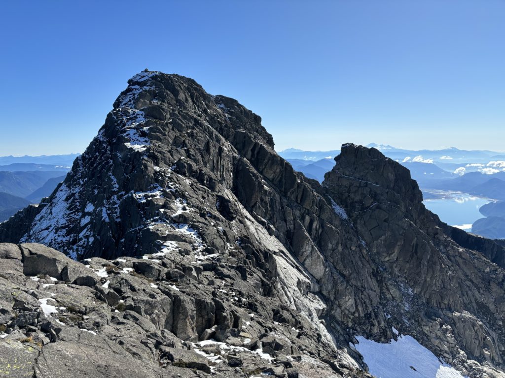
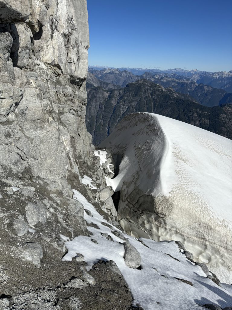
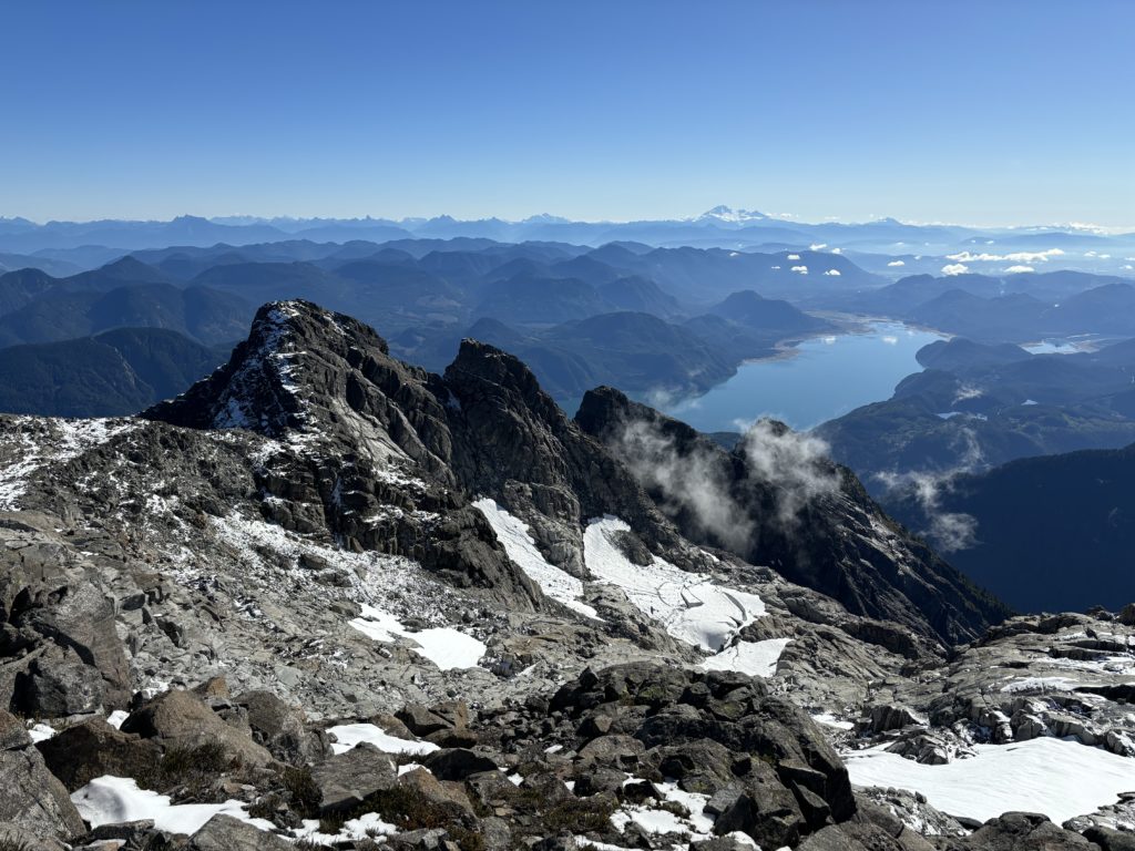
Beyond the lake the trail progressively steepened and weaved over and under a few sections of deadfall. At about 850m the grade eased off for a little bit and then stayed steep all the way until just before the tarns. This upper section had dense brush covering the trail and I got absolutely soaked. Once I reached the actual tarns I took a long break and dried off. While resting I got my first good views of the scramble portion of the route. There’s supposed to be two crux sections: a gully below the ridgeline and then the summit block itself. The location of gully was not obvious to me, but I had a rough route line to go off of so I figured I’d follow the best path and go from there.
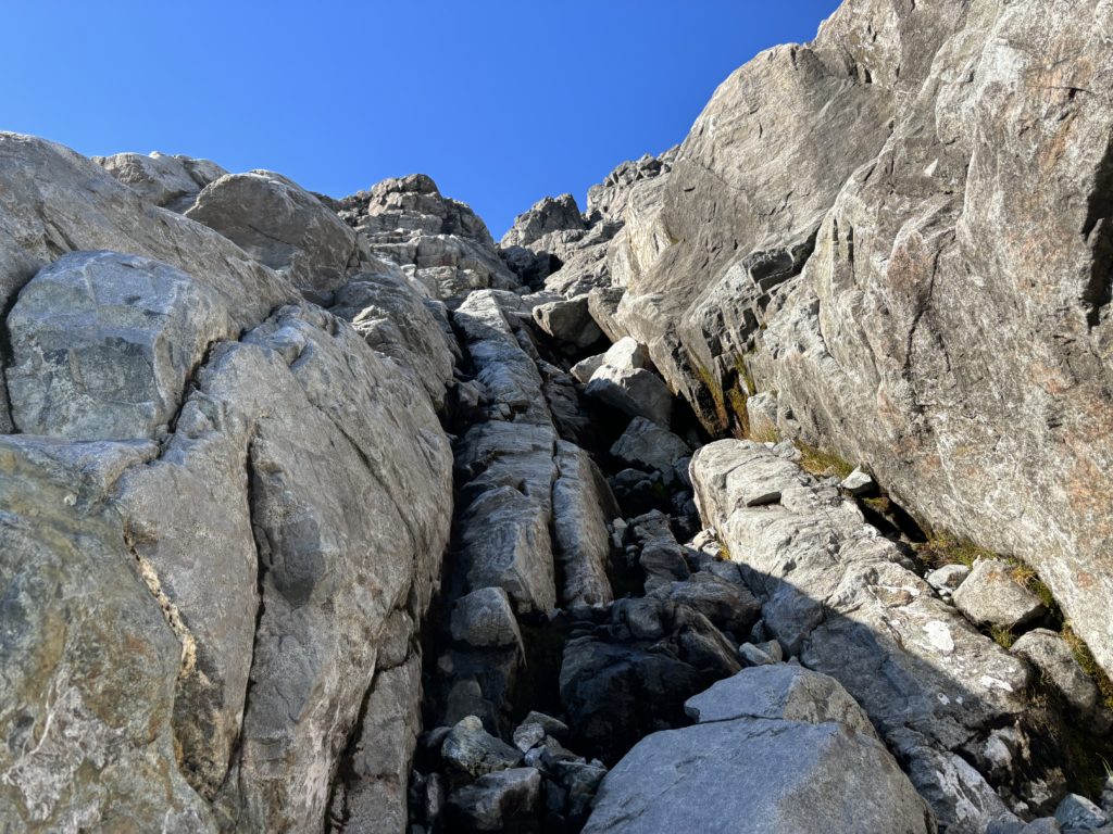
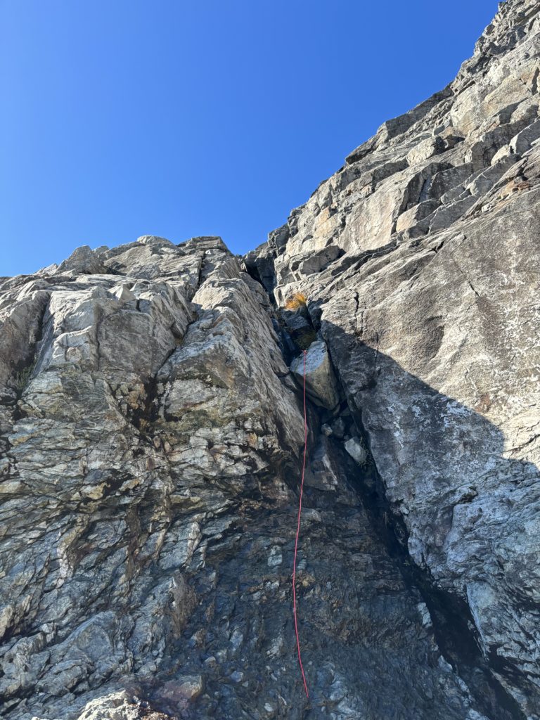
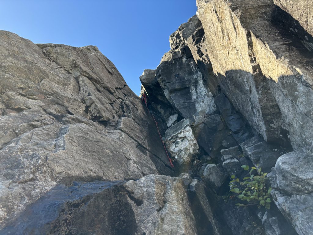
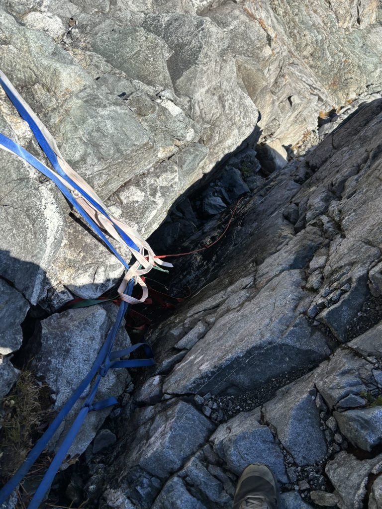
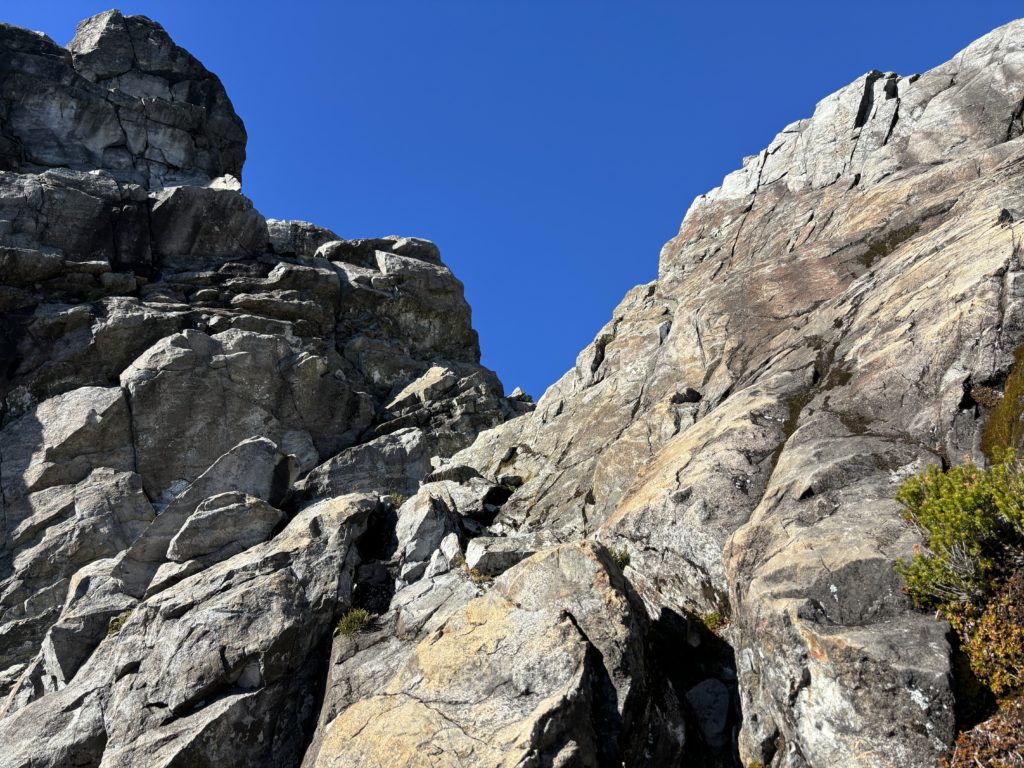
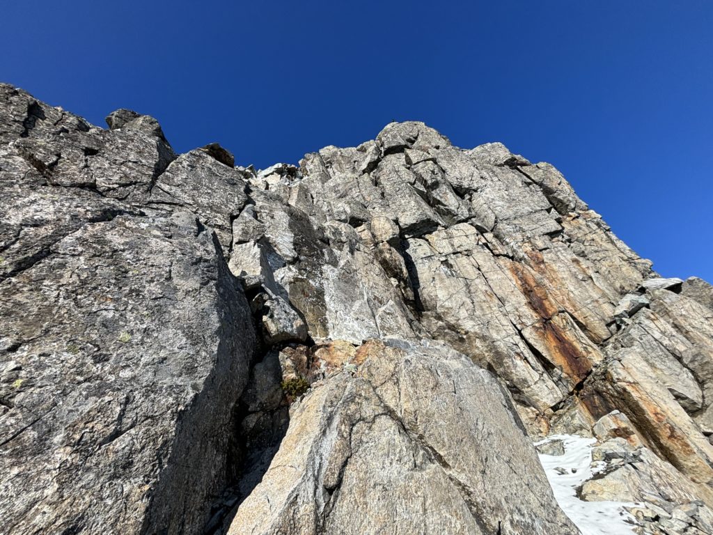
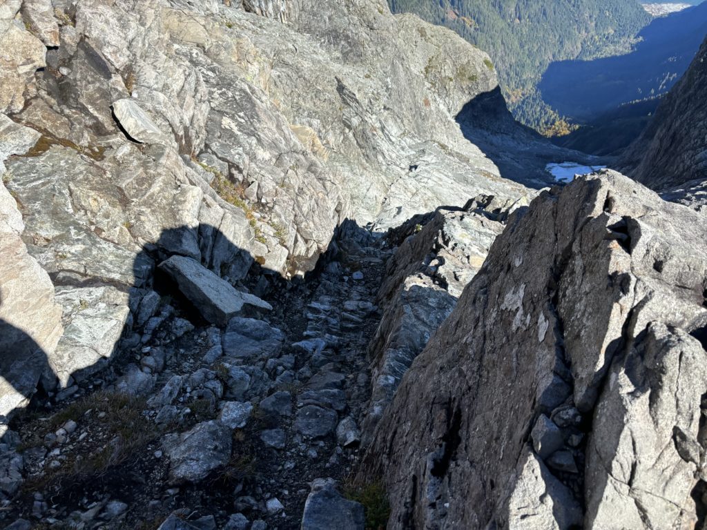
After enough rest, I pushed on and up the mix of slab and talus in the large upper bowl of the south east face. As I climbed higher, my legs started to seize up a bit and it dawned me I was getting dehydrated. I paused again for some water and then continued on, although these leg cramps would plague me until I was finally on the descent. Now much closer to the steepening slabs above, I still didn’t see any obvious gullys, so I just picked a suitable line up some 3rd class terrain. I traversed climbers right when it steepened into 5th class terrain and that funnelled me towards some newly spotted cairns. I continued a little ways further and sure enough the gully system revealed itself. There were two tiers both marked by fixed lines. The lower tier was absolutely drenched so I climbed some 4th class terrain at climber’s left to bypass it. The second tier didn’t have suitably easier terrain and despite being quite wet as well, it looked pretty easy to ascend. I tunnelled up to the base of the large chockstone and then stemmed out using the fixed rope for stability. From there good hand holds presented themselves and I hauled myself out. The gully ended up being a lot less committing or exposed than the photos I had seen, but in these conditions it was nice to have the fixed line as a backup.
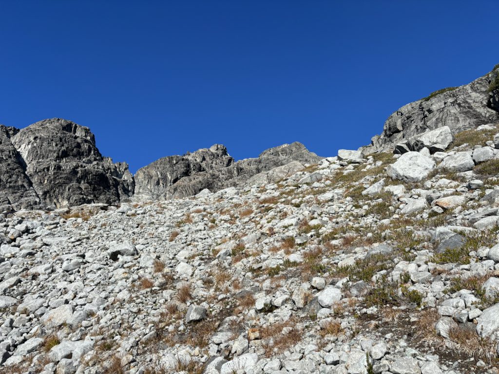
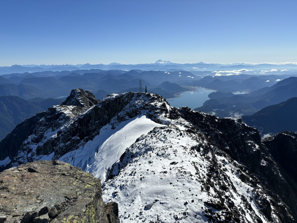
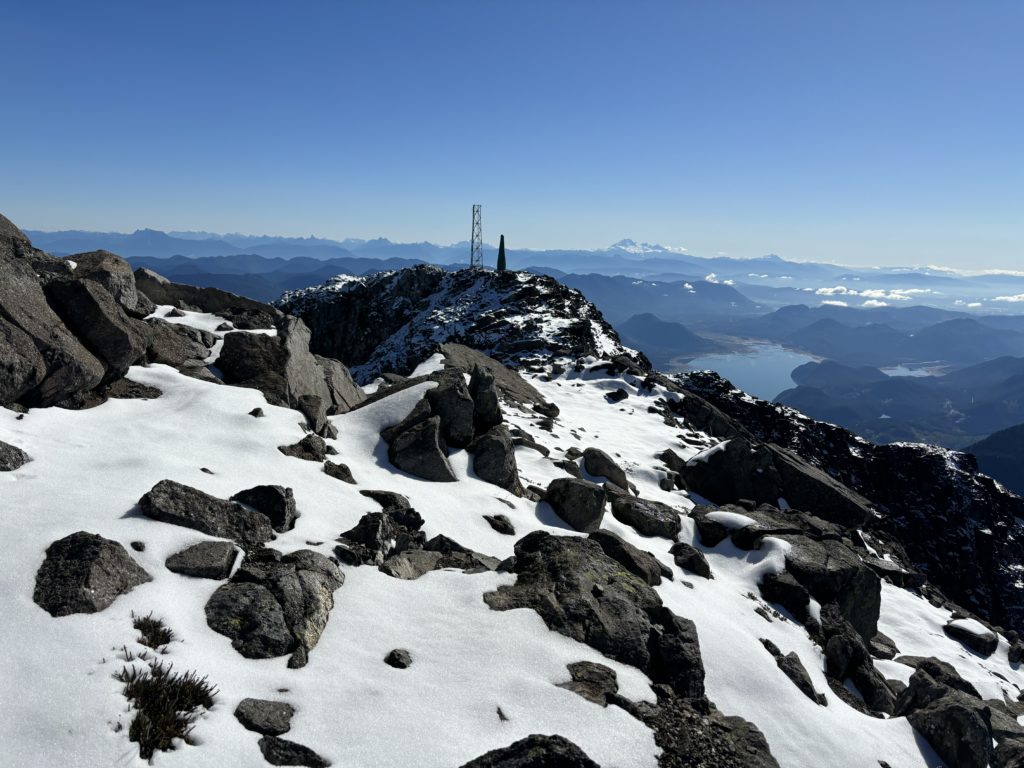
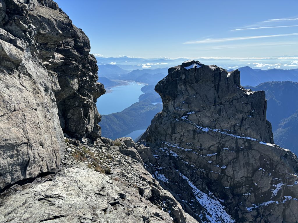
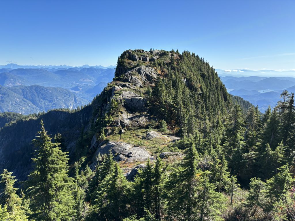
I now continued on easy terrain up to the ridge and then scrambled almost to the top of the first ridge highpoint at climber’s right. Now I had to descend to the connecting ridge below, but there was a section of steep slabs covered in snow that was blocking me. I was confident in doing this with trail shoes, so I scrambled down some 3rd class terrain at climber’s left and then rejoined the ridge where it mellowed out.
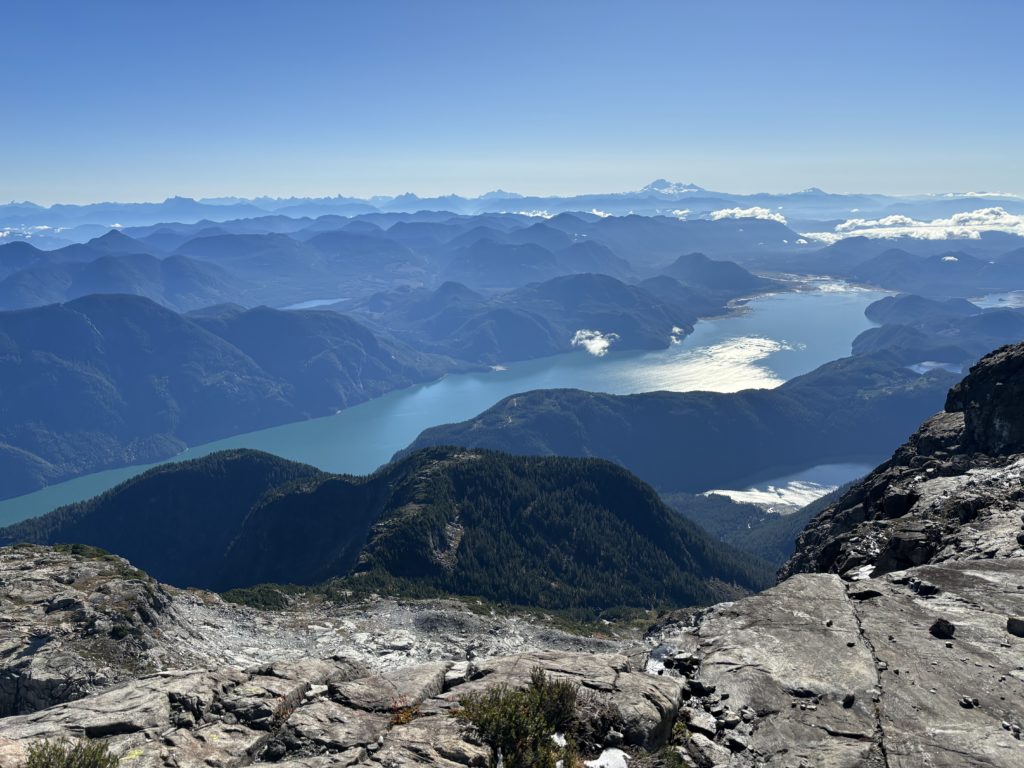
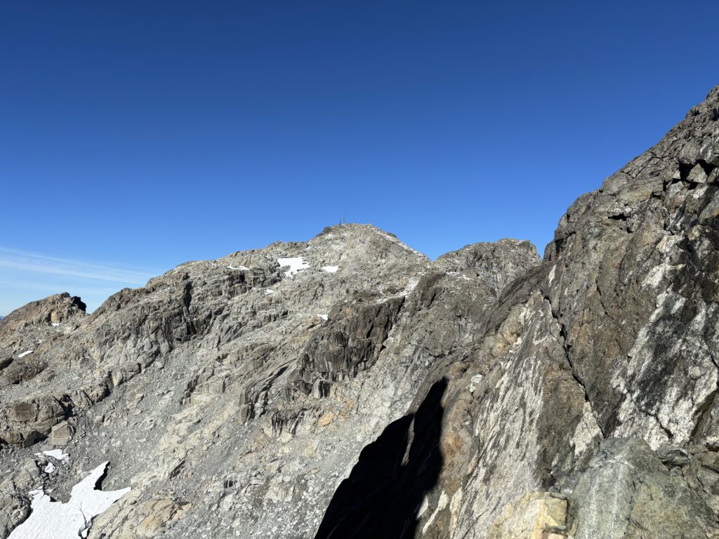
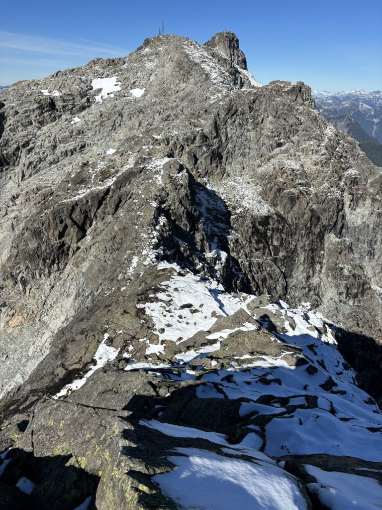
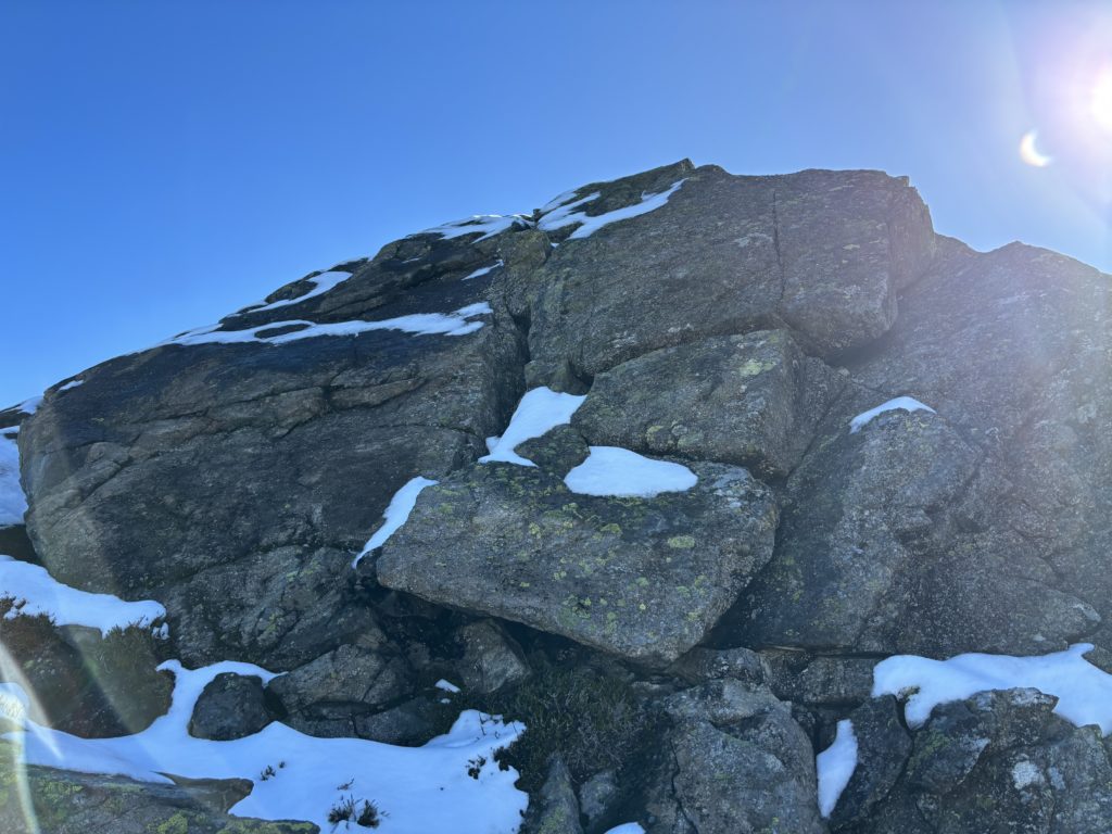
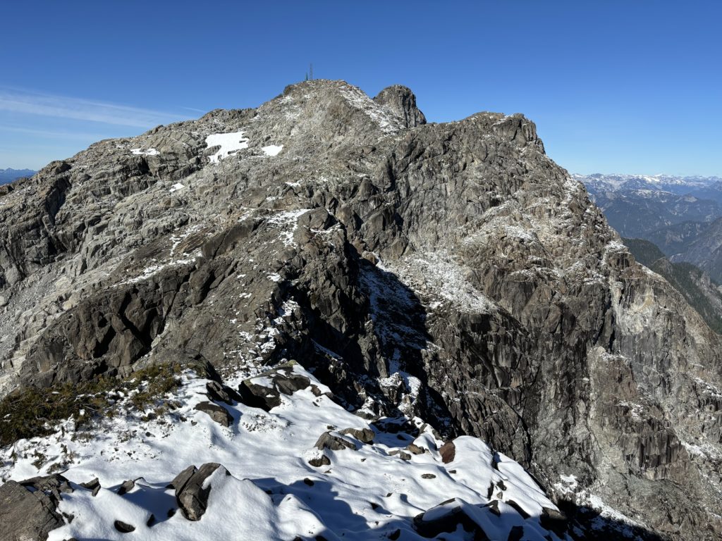
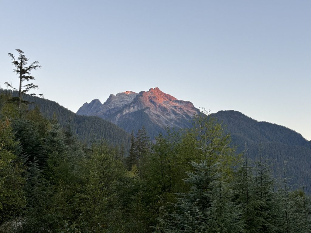
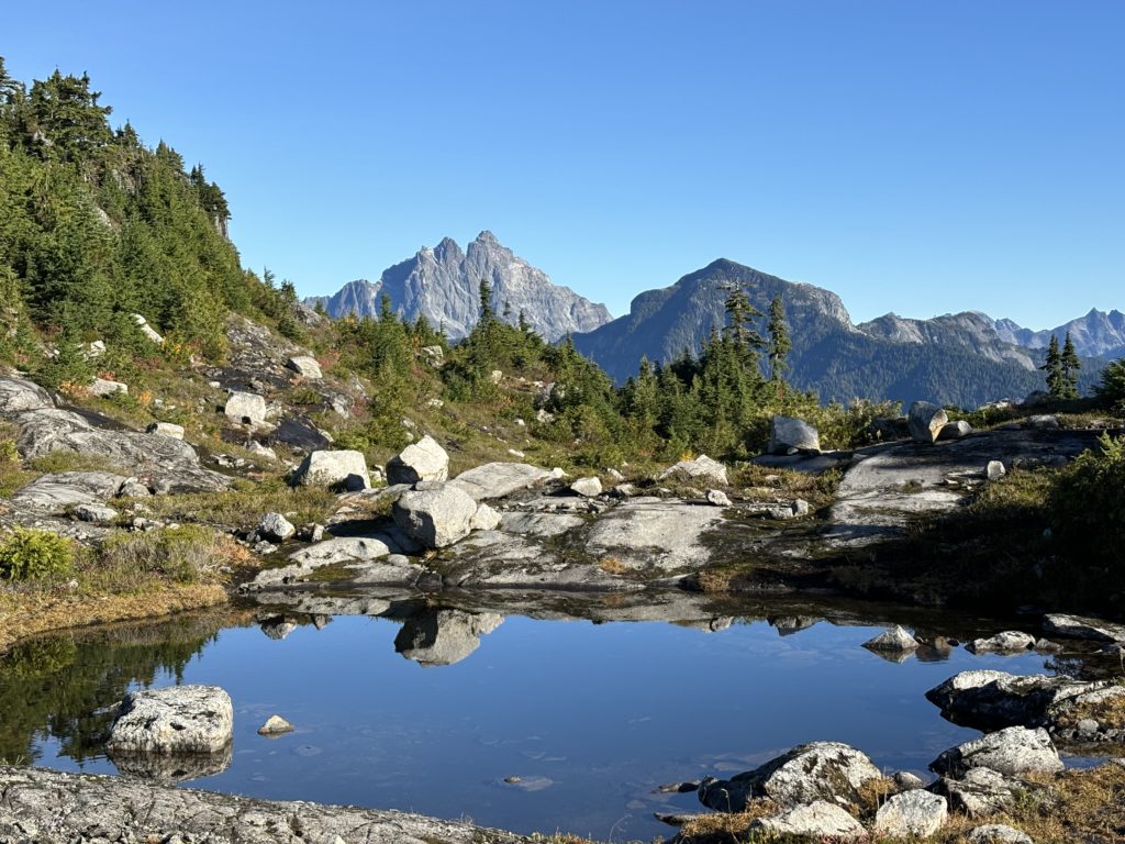
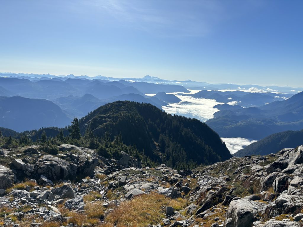
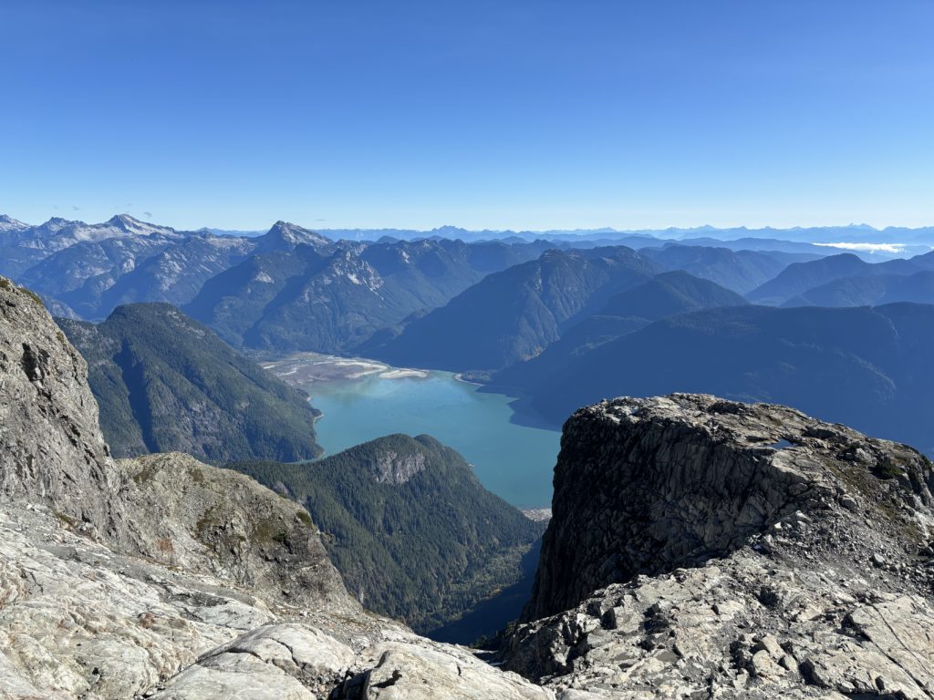
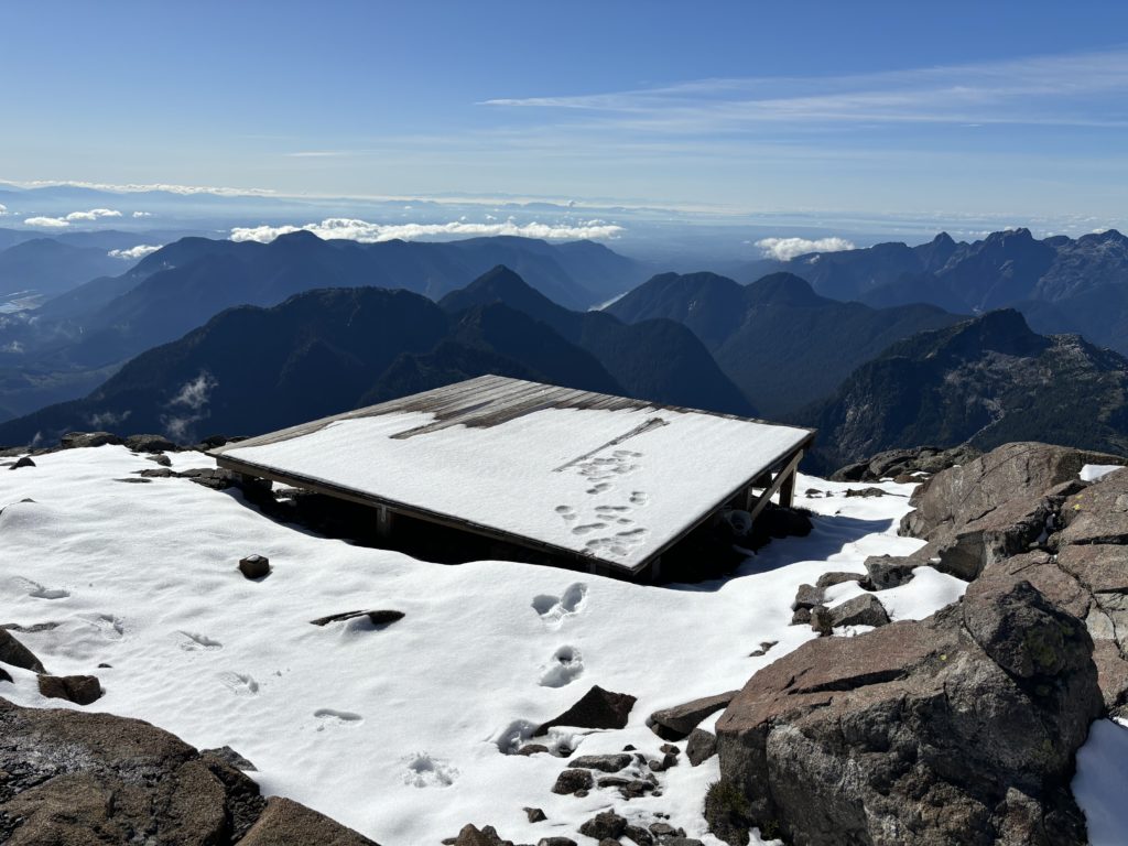
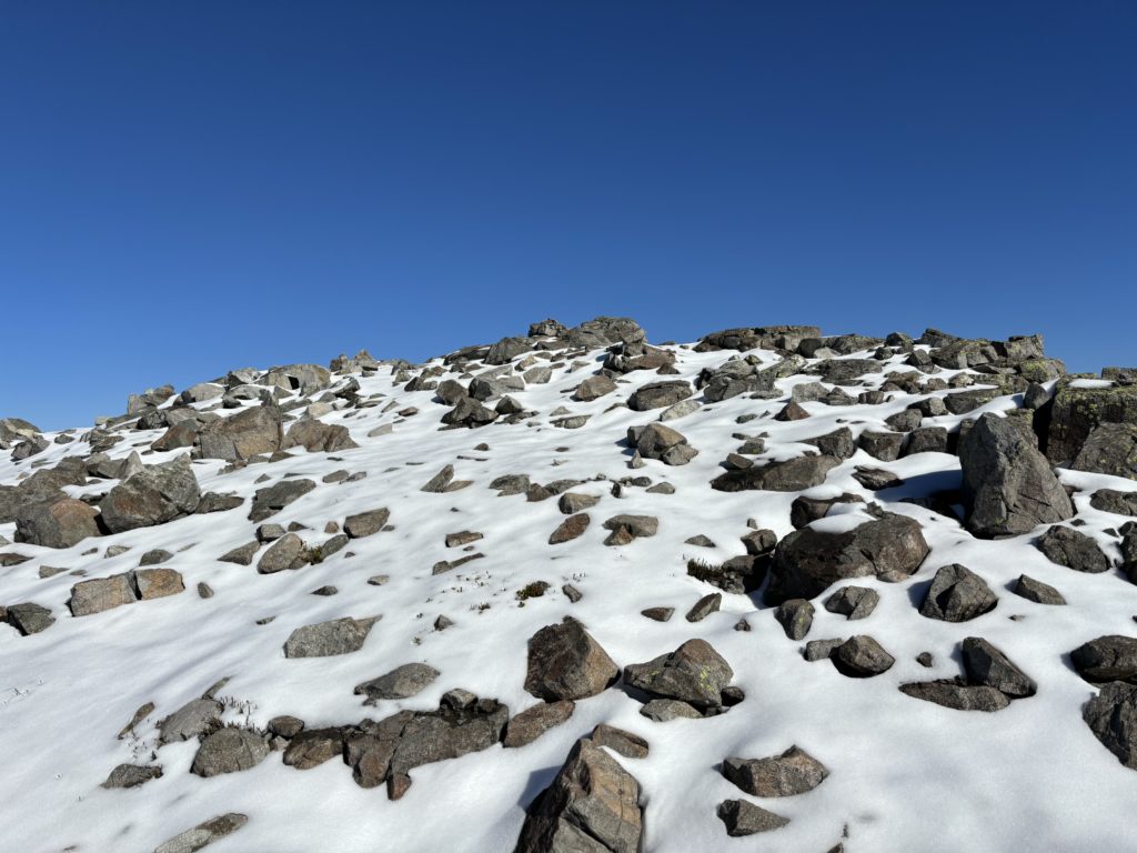
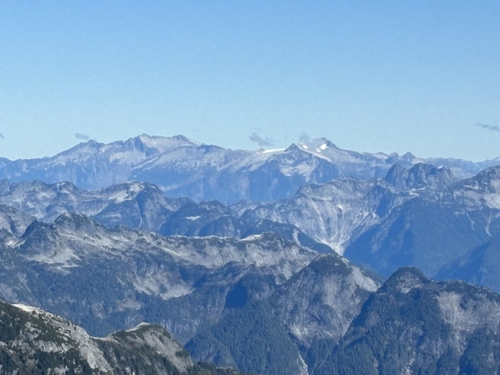
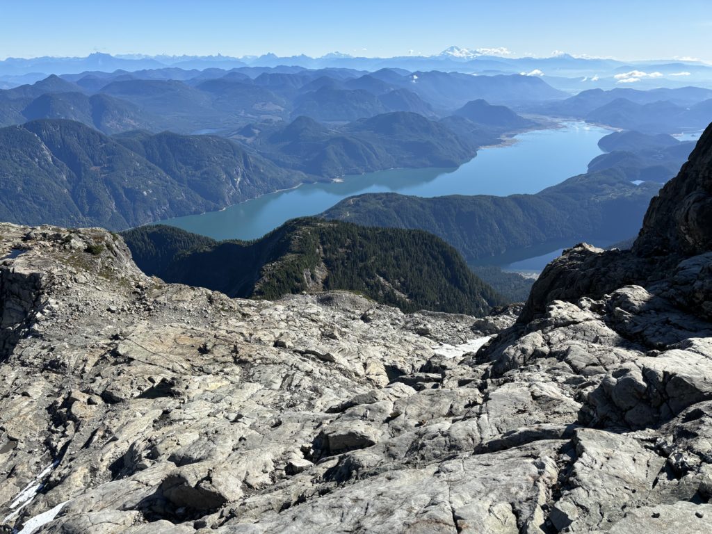
The rest of the way to the false summit was pretty straightforward, but I stopped briefly to alleviate my cramping legs. I was low on water at this point and regretted not grabbing some on the slabs, but I made due with some snow melt off and pushed on. The heli pad on the false summit had some very recent foot prints and skid tracks in the snow so someone must have been up there a few hours before. I turned my attention back to the true summit ahead and followed the ridge to its base. I found a reasonable line at climber’s left and then ascended up blocky 4th class terrain all the way to the summit. There’s a good reason this summit is so popular… the views!! Getting up close Judge Howay and The Defendant is quick way to gain points in my books. These early October days are getting short though and it was now 1PM so I wanted to see if I could reach the truck before dark.
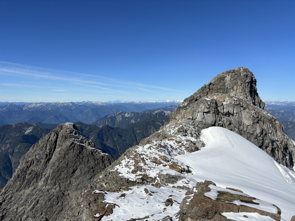
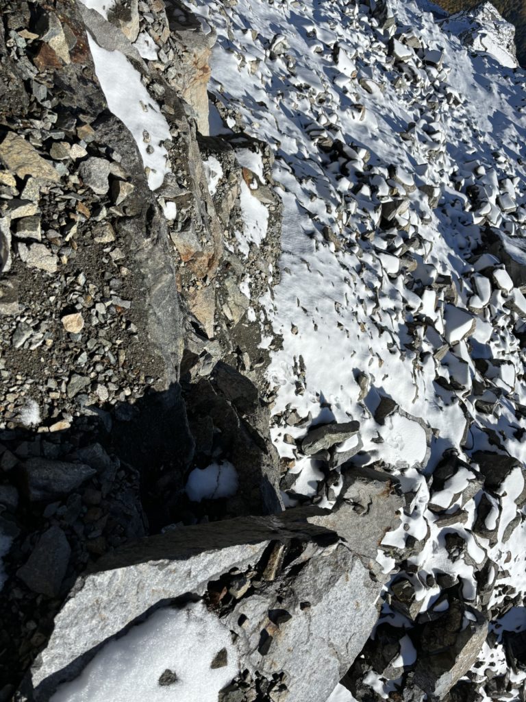
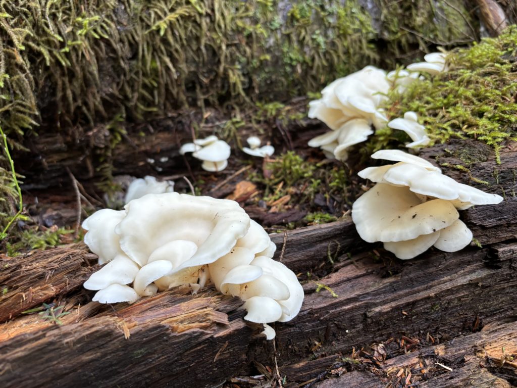
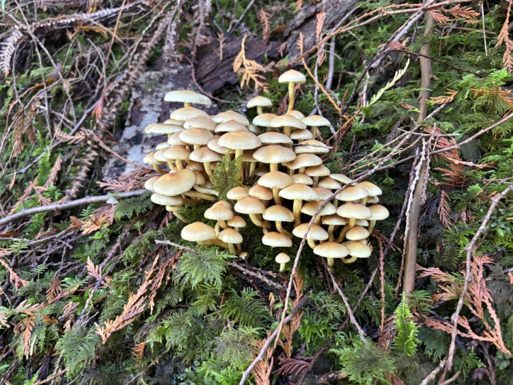
I carefully descended the summit block and then made my back along the ridge and up to the false summit at 1997 meters. Now I descended onto the south east side and back to the gully entrance. I faced in and down climbed the sopping wet gully and then bypassed the lower gully using the same dry 4th class pitch again. Now it was a straight forward descent to the tarns and then an unravelling of the elevation gain I had worked so hard to gain in the morning. The descent was steep, but I had surprisingly good traction and made great time back to Alouette Lake. I was 2 hours ahead of the sunset and “let of the throttle” as I was getting exhausted from the days effort. I made a leisurely pace along the lake pausing to observe some of the mushrooms and rain-forest like surroundings.
Somehow, I bypassed the sketchy log structures I had taken in and reached the road marking the final part of my day. The road walk passed by quicker than expected and I reached my truck at long last. This was a great day out and as a bonus I had the whole place to myself.