Elevation Gain: 714m
Distance: 11.28km
Total Time: 3 hours 44 minutes
Date: July 22nd, 2023
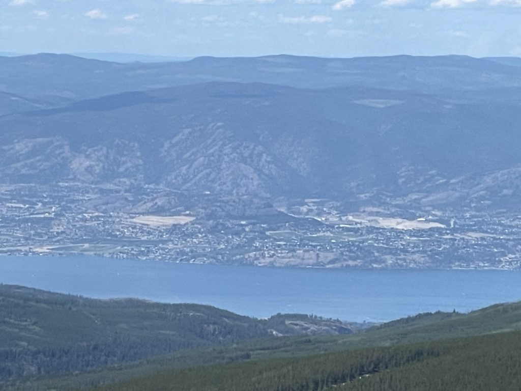
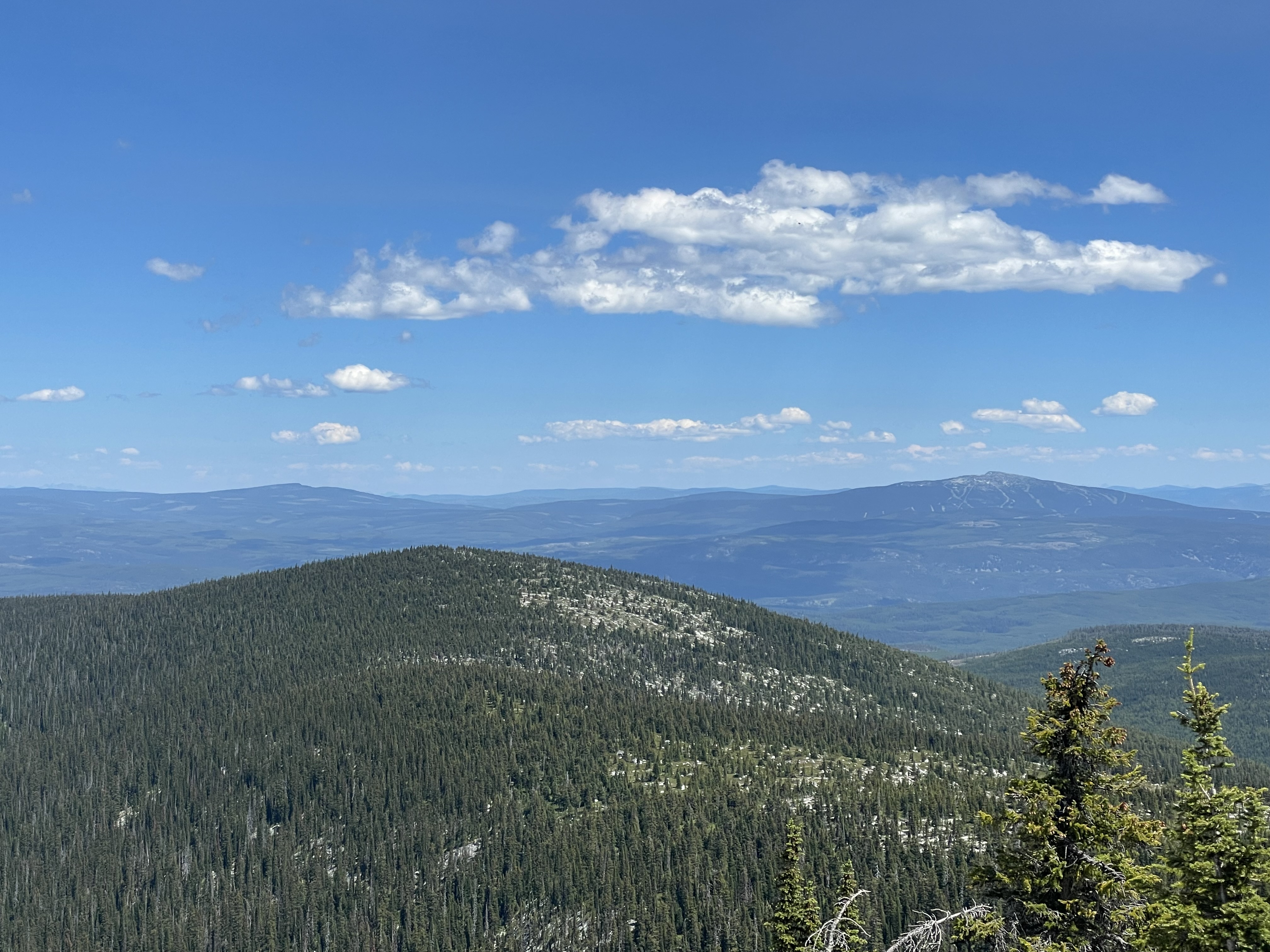
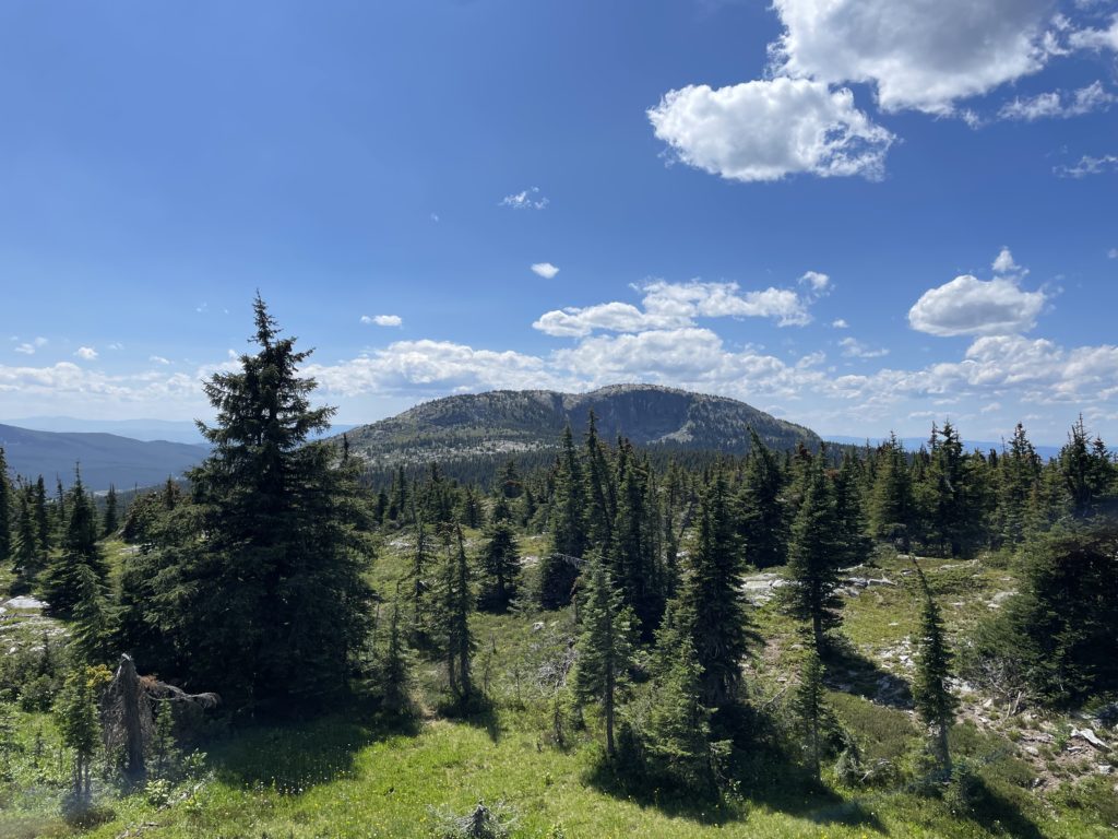
Little White Mountain is one of the few summits of significant height in the Kelowna area. It’s still a heavily forested summit with only its upper reaches stretching beyond the treeline and into the alpine. To the east is its taller counterpart: Big White Mountain. Most people in the area know of Big White because it’s an ultra popular ski resort and one that I’ve skied on for years while growing up in Kelowna. From Big White it’s easy to spot Little White Mountain to the West, but if you don’t care for reaching summits it’s a mere snowy bump in the distance and not much more.
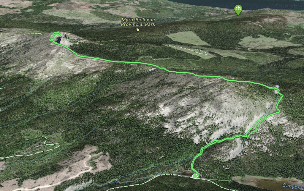
I had been thinking about hiking up Little White Mountain for awhile now, as I semi-frequently come back to Kelowna to see family. There’s two ways it’s typically accessed. Either from the north on a 22km trip starting from the KVR trail or from the south west off of Highway 33 and along the Okanagan Falls Service Road. The latter is about an 11km trip and was my preferred choice. Unfortunately, the last few times I was in Kelowna, snow still impeded access in the alpine and I had to go with something else. This time, mid-July, the road was perfectly clear and I had Andrea with me who was keen to checkout a new area of the Okanagan. We would need to be back by 5PM on the Saturday for a BBQ, but I figured out even with an 1 hour 50 minute drive each way we could still make the 11km round trip without too much of a rush.
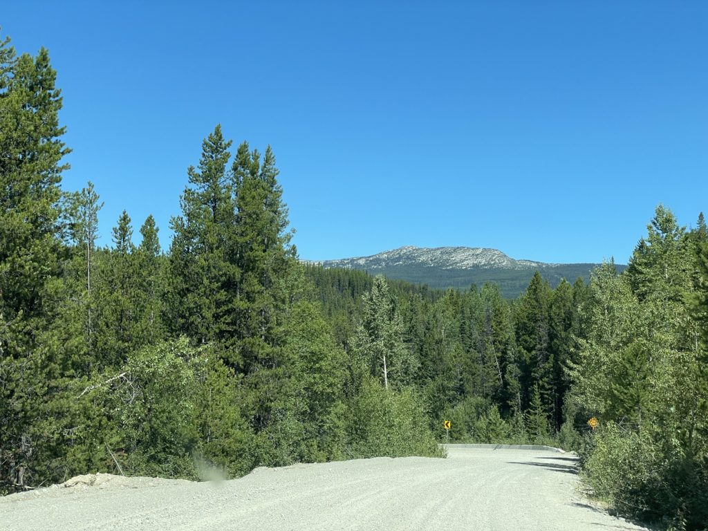
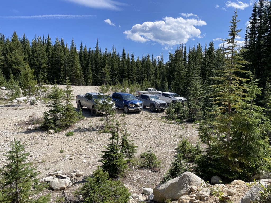
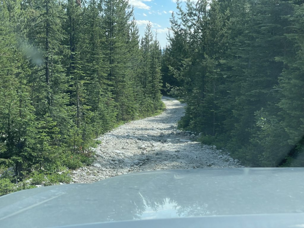
We hit the road a bit later than expected, around 10AM but before long we were pulling onto Okanagan Falls Road. To my surprise the road was a veritable highway. It made the Hurley look like one of the dilapidated service roads in the Cheam Range by comparison. Thanks to that we cruised along reaching the turn off for Greyback Mountain Road and again the road was in mint condition. The surface only deteriorated in the last 5km or so and it did get quite rough at that point. A 4×4 was needed for the last section, but I don’t think you’d need a big truck or anything to make it happen.
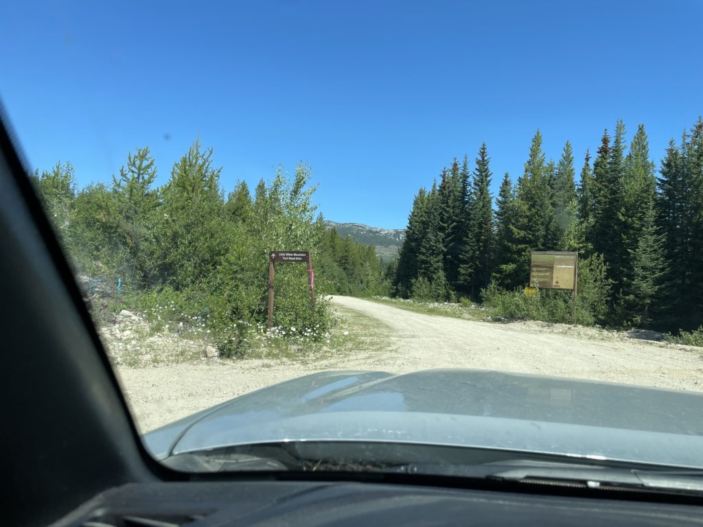
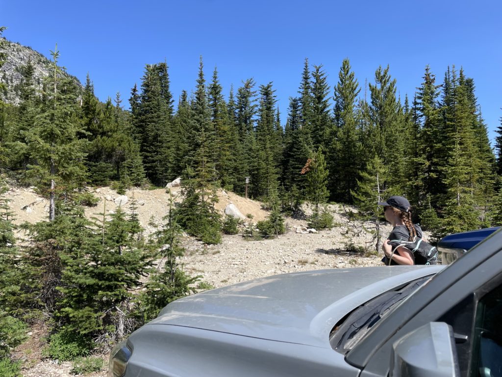
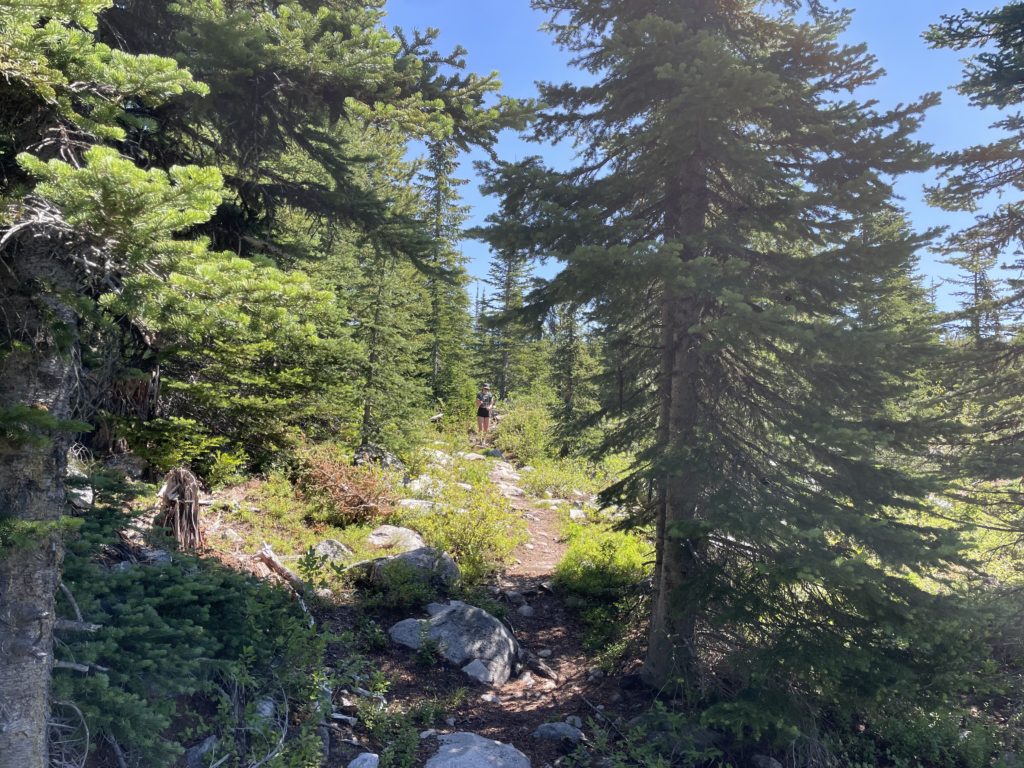
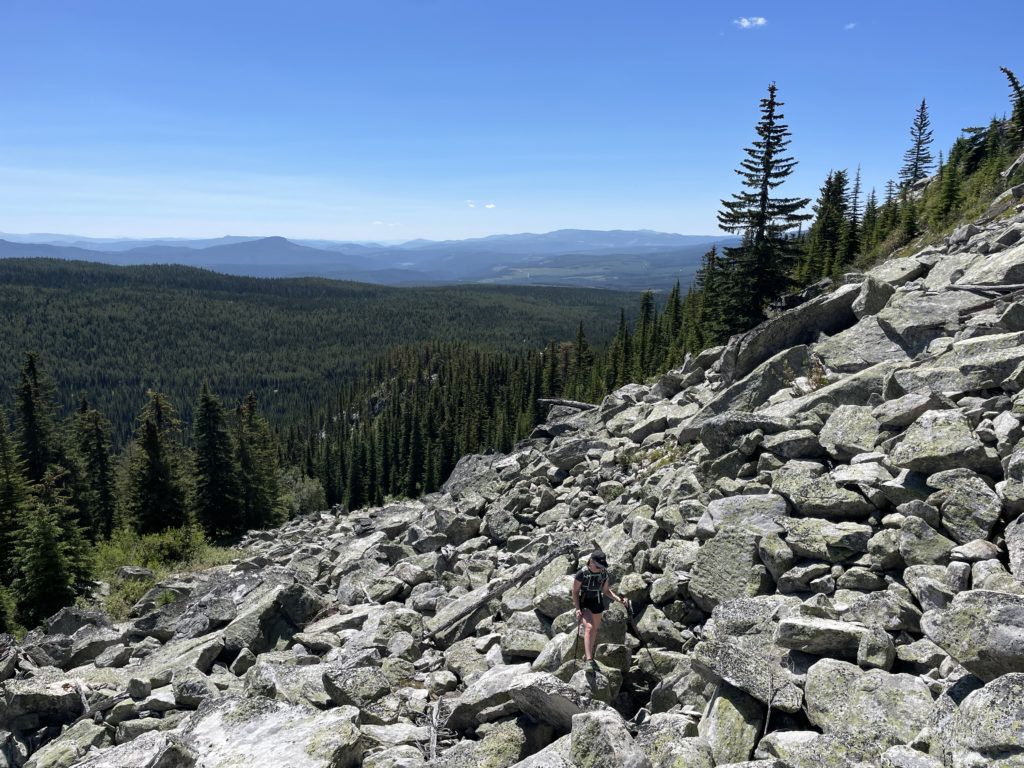
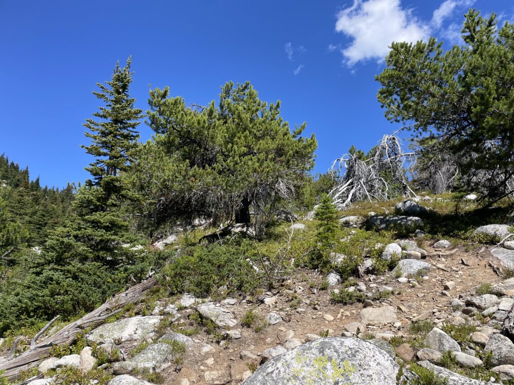
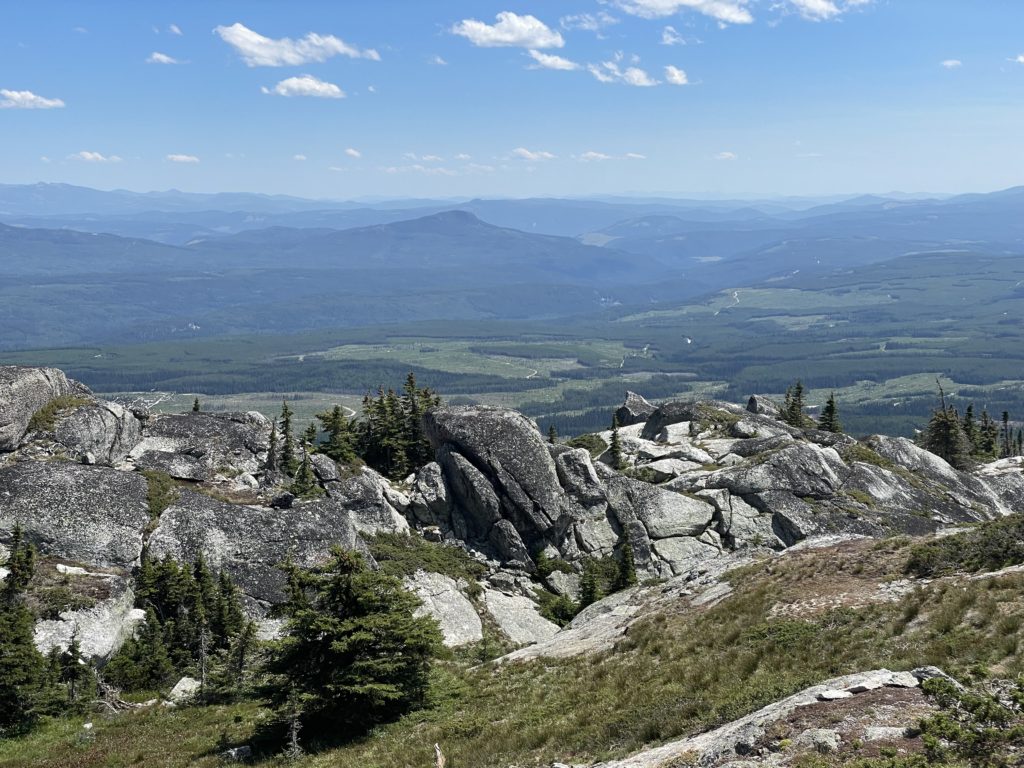
From the trail head parking we located the obvious trail and followed it through the forest until we reached a junction. Ascending up climber’s left was a less trodden trail to an obvious boulder field and then down right the trail seemed to lose some elevation to who knows where. However, the right path was the official one so we initially took that. When it looked like it was going to continue losing elevation we forked off and headed up the boulder field instead. The boulder field made for easy travel, but we discovered near the top that the official trail basically just followed along it and didn’t actually go much further down from where we left it. Oh well!
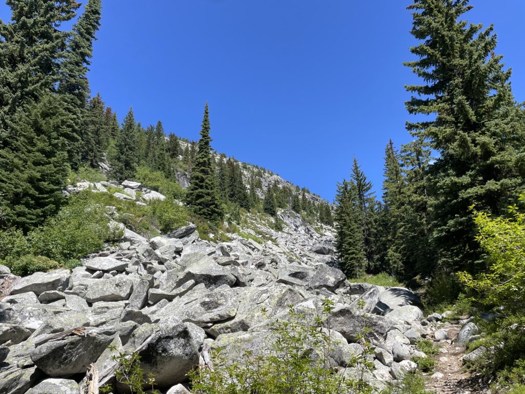
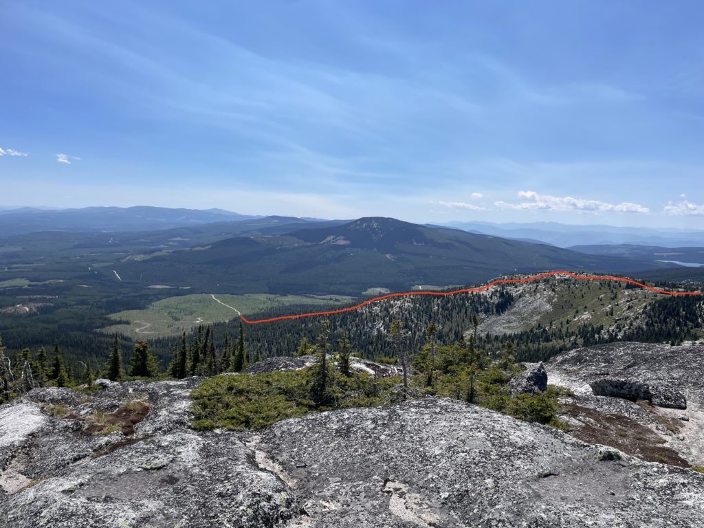
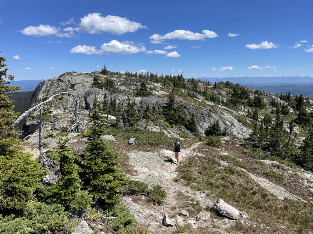
Now we zig-zagged for a ways to reach the top of the Eastern Ridgeline. The summit still lay about 3-4km away so we continued along the beautiful ridge line landscape. From the eastern most point of the ridge line one must drop about 80m from a false summit to the col of the true summit, but it’s a modest drop across a long path. Once we reached the low point on the ridge we paused to have some cold pizza for lunch and enjoy the last of the shade.
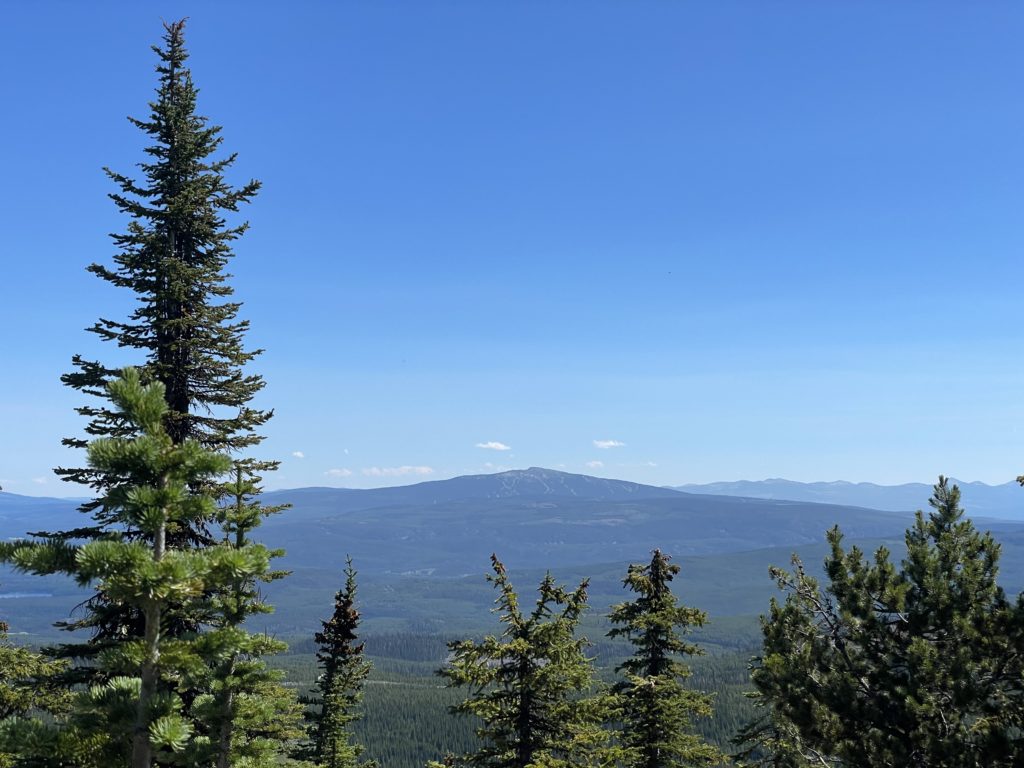
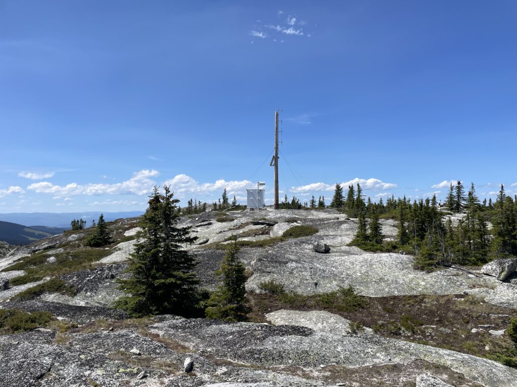
After cooling off we continued up the easy trail and reached a slabby expanse of granite ridge line near the summit. We simply followed this along, picking the path of least resistance and topped out at the summit. A group of campers were packing up from the night before so we walked up to the top and then skirted off to an unoccupied area of the summit ridge.
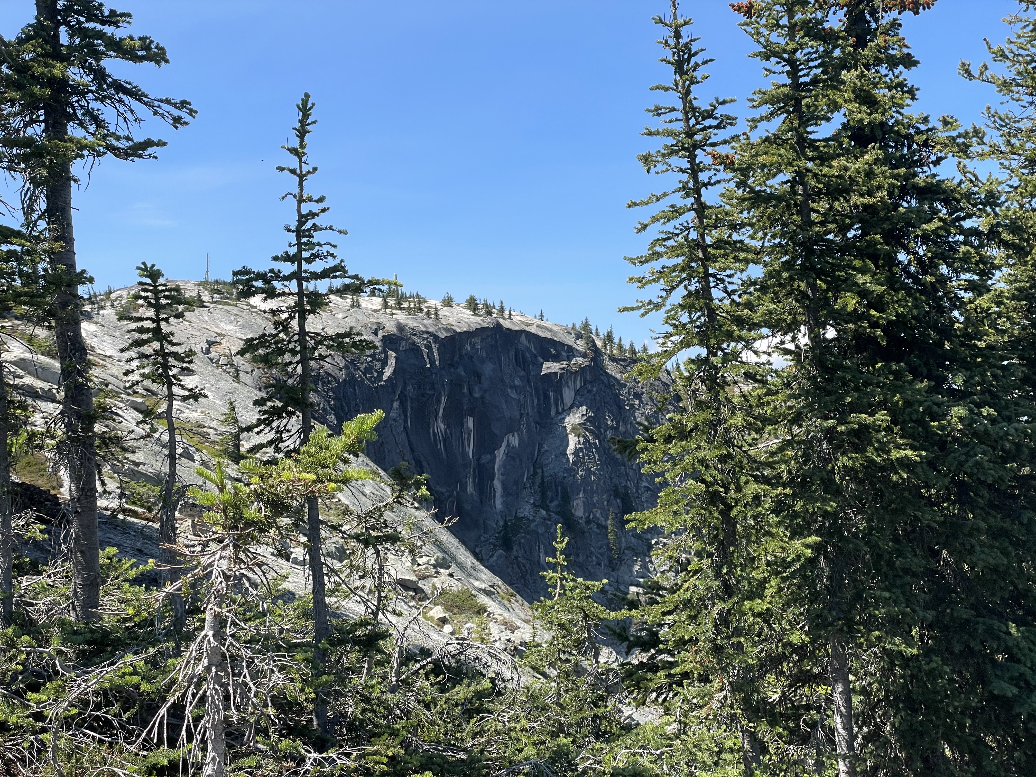
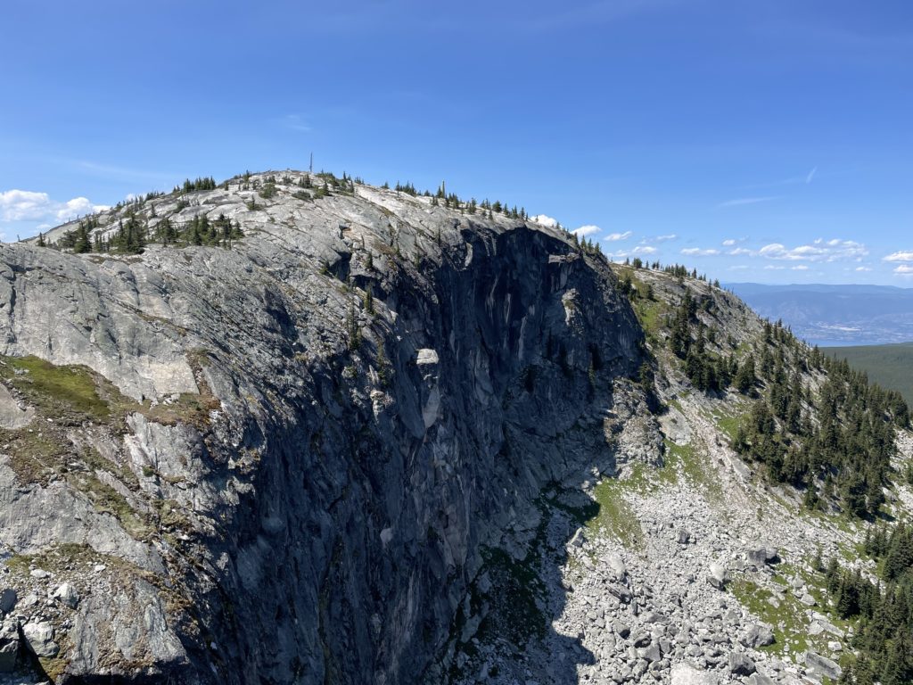
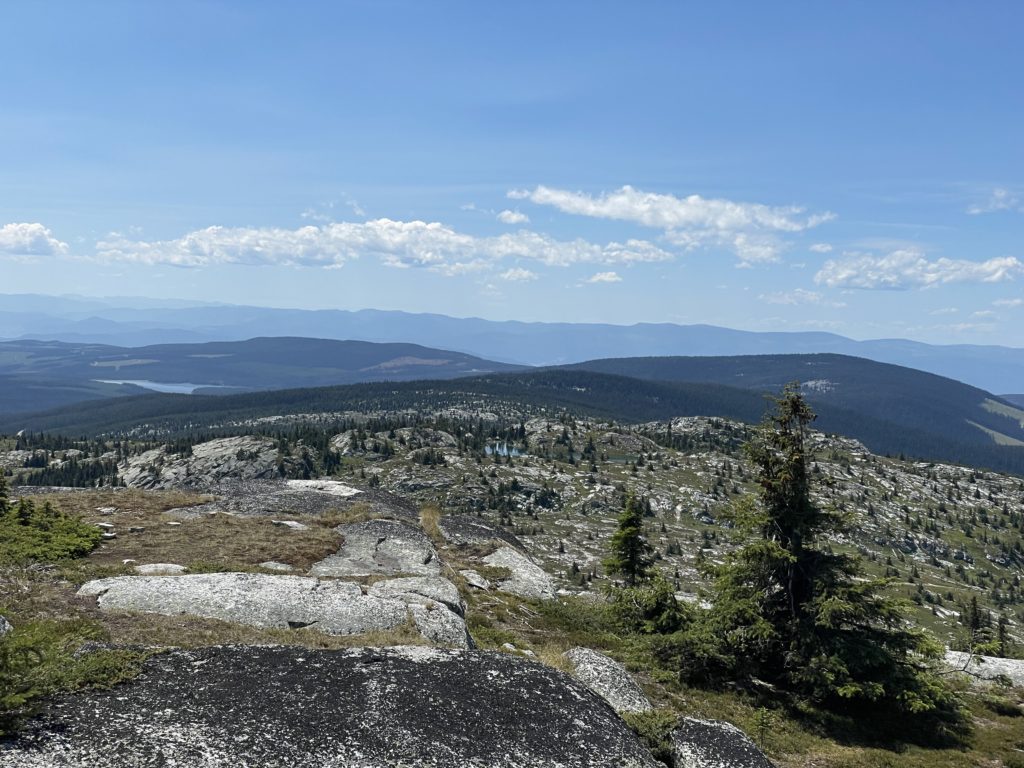
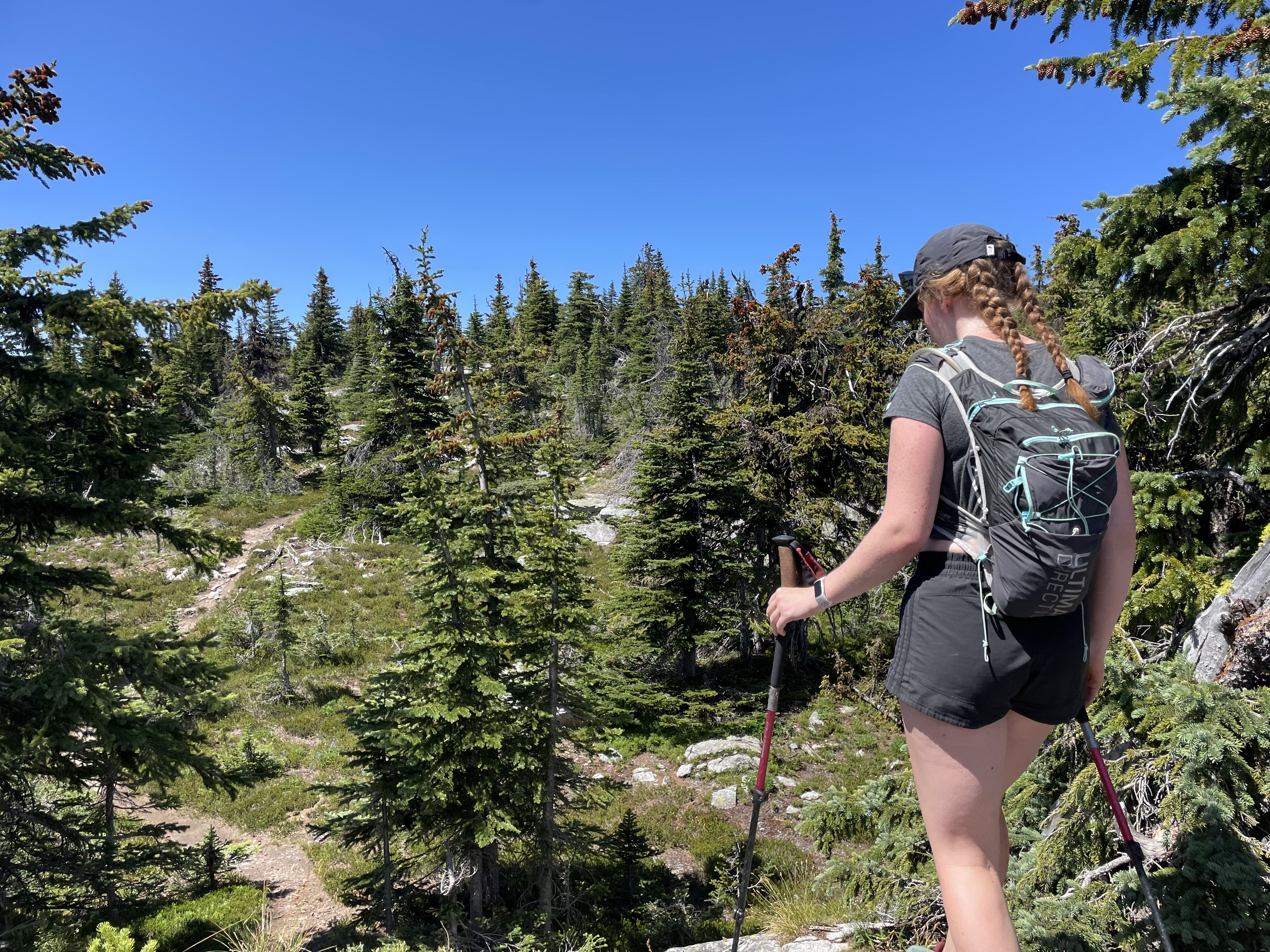
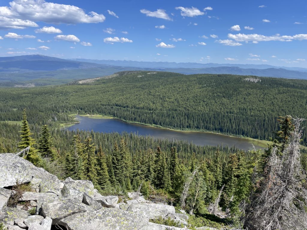
Directly below us was a large cirque of granite and we pondered about any climbing routes below. If we had more time I would have liked to have traversed around the base to see if anything of interest presented itself. By now it’s 1:30PM and it’s time to get back to the truck. We reversed our way back long the granite ridge line and then followed the trail down to the col. A long the way we ran into several more parties and it’s clear this is a popular area in the summer. Once we made it back to the large boulder field, we stuck directly to the trail and that proved to be much faster overall. About 1.5 hours from the summit and we pulled up to the trail head parking with plenty of time to spare.
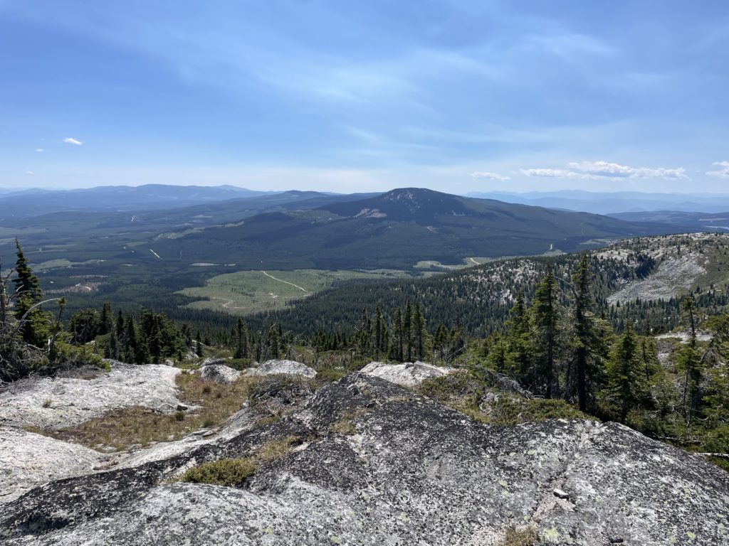
This ended up being a nice hike and one of the summits near Kelowna that offers a more expansive alpine view. I can see now there’s lots to explore around the Okanagan Highlands and with such good FSR access even the more obscure peaks can be easy to knock off.