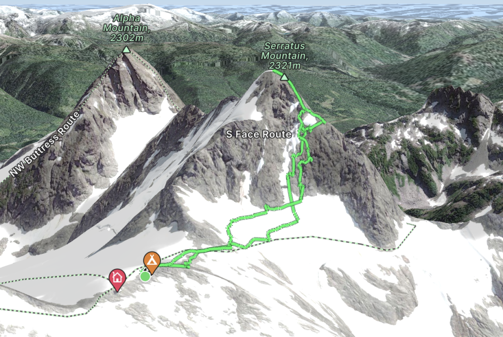
Elevation Gain: 342m
Distance: 2.02km
Total Time: 4 hours 44 minutes
Date: July 16th, 2023
Serratus is apparently latin for “to saw” (e.g. serrated) and the name certainly fits the long jagged ridge line of Serratus Mountain. It’s located just a kilometer from the Jim Haberl hut and is therefore a very popular objective for those in the area. Serratus offers a multitude of lines up to the summit, most in the class 4 range and often with steep snow earlier in the season. The north face seems to get quite a bit of attention as a snow line, but by the time Andrea and I arrived in the Tantalus range conditions were looking a bit too challenging. Our plan was to summit Tantalus on the Saturday and then Serratus on Sunday before our 5pm flight out.
We had a few photos from the old version of Mclane’s Alpine select but it was light on details. I could only really find North face ascents online, however after seeing the North face route, the west face looked to be the most promising.
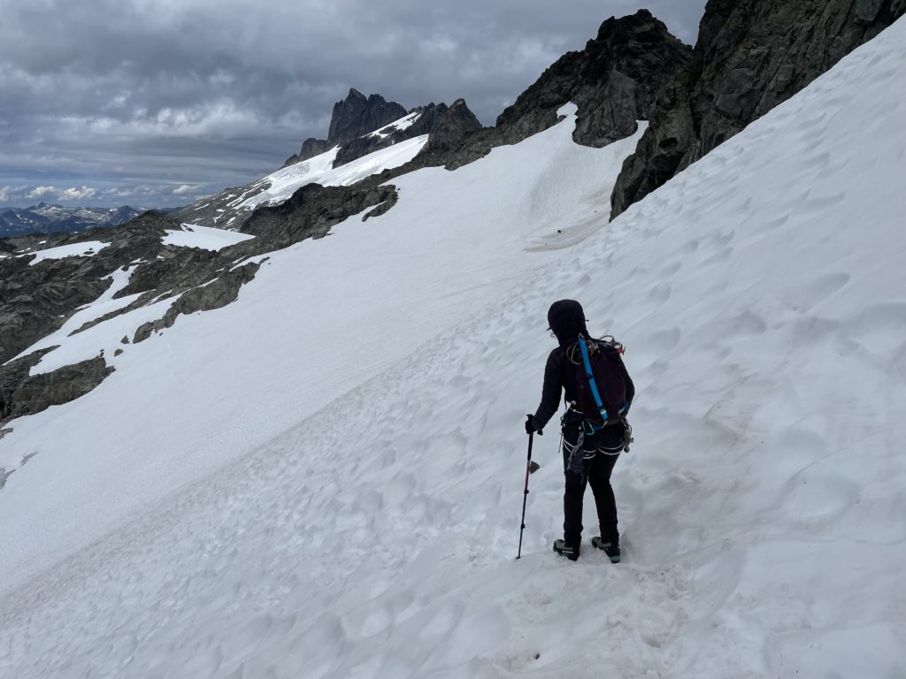
On Sunday morning we packed up all our gear in preparation for our 5PM flight out and then headed towards Serratus’ West face around 9:40am. That would give us about 6 hours to get up and down a summit that’s only 1 kilometer away, so we figured that should be plenty. As we crept around to West face we could spot a multitude of climbers and scramblers on several parts of the mountain. There looked to be climbing route on the North West ridge with a cool looking pinnacle halfway up (turns out this is Crosmique Arete – 5.9). Further down were some climber’s near the top of the West Rib, which also hosts the West Couloir in the early season. We weren’t sure how the West Rib was gained lower down and decided to have a peek at the couloir at climber’s right of the West Rib.
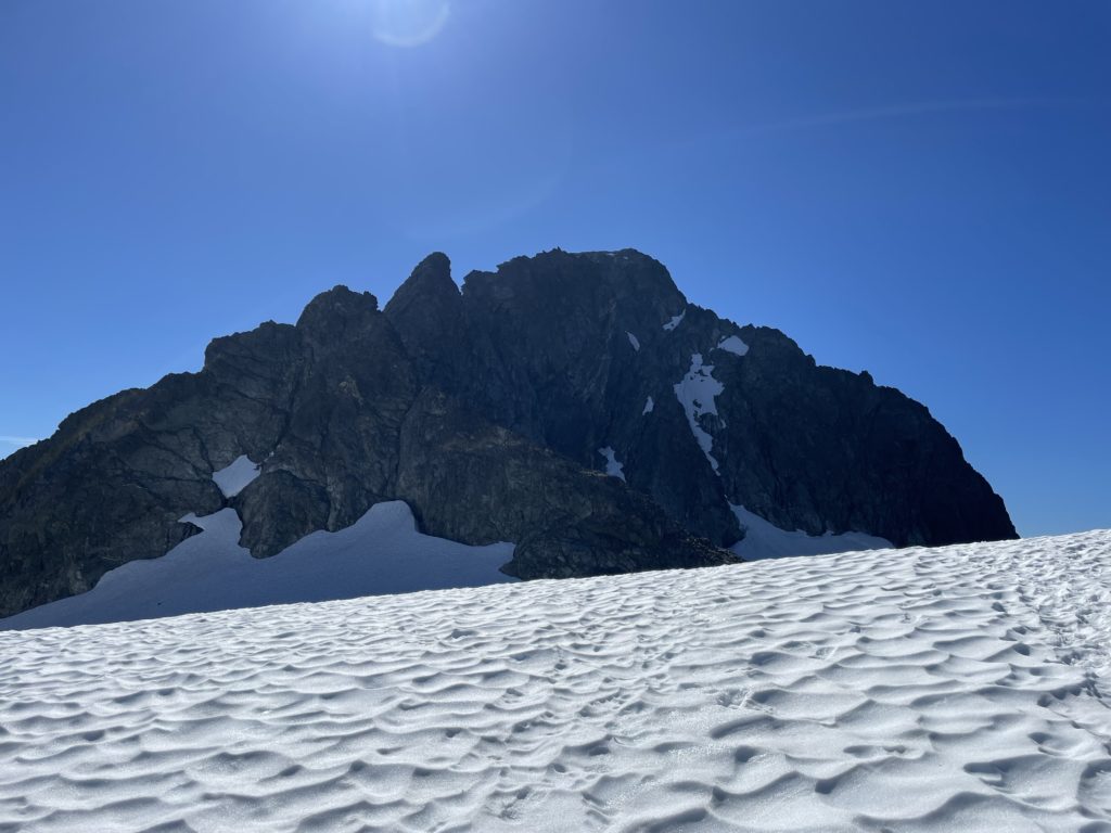
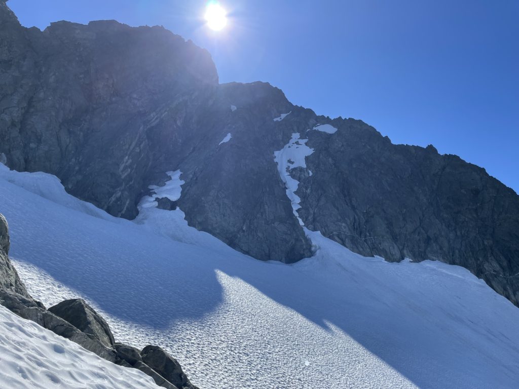
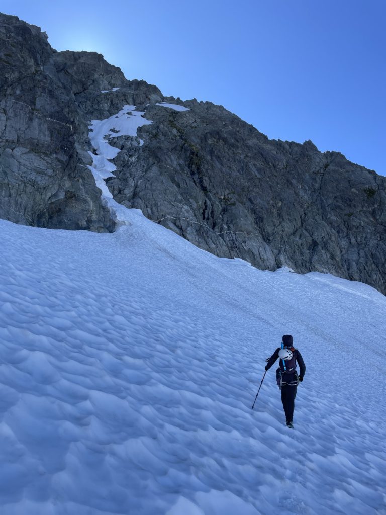
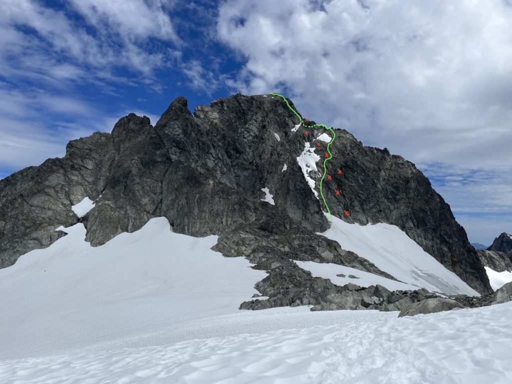
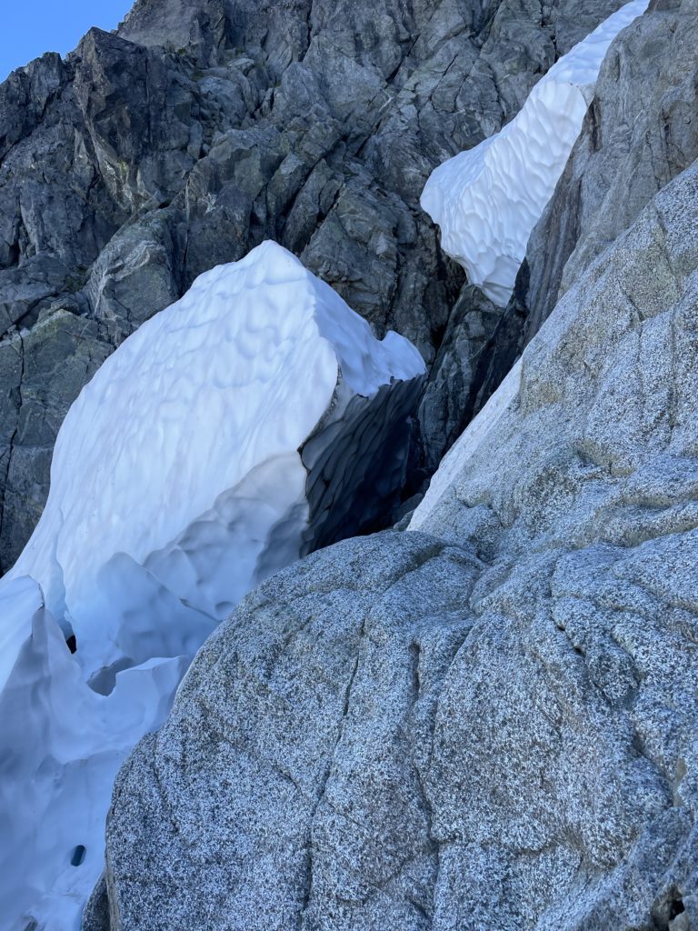
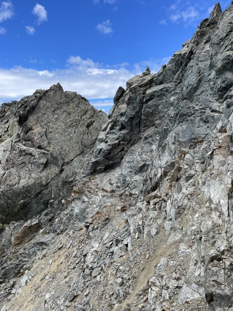
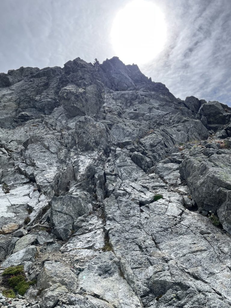
Andrea lead us up the entrance and we discovered a massive moat cutting off access to the upper snow line. In any event, it looked like numerous holes had opened higher up and wasn’t all that appealing. Directly right of the snow was a moderate looking 4th class line however. We cautiously approached the moat and discovered a small snow finger that bridged the gap to the face. Once on the face we scrambled up a short section of 4th class terrain until it eased off higher up. From there route broadened out and we had virtually unlimited lines of scrambling on some amazing textured rock.
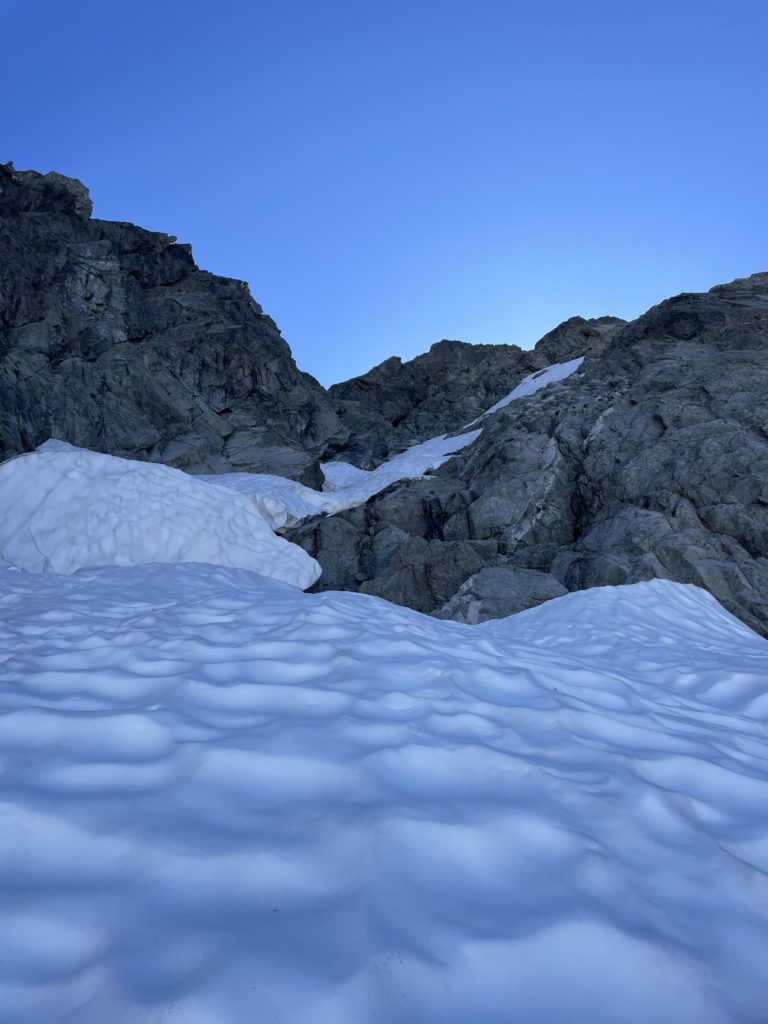
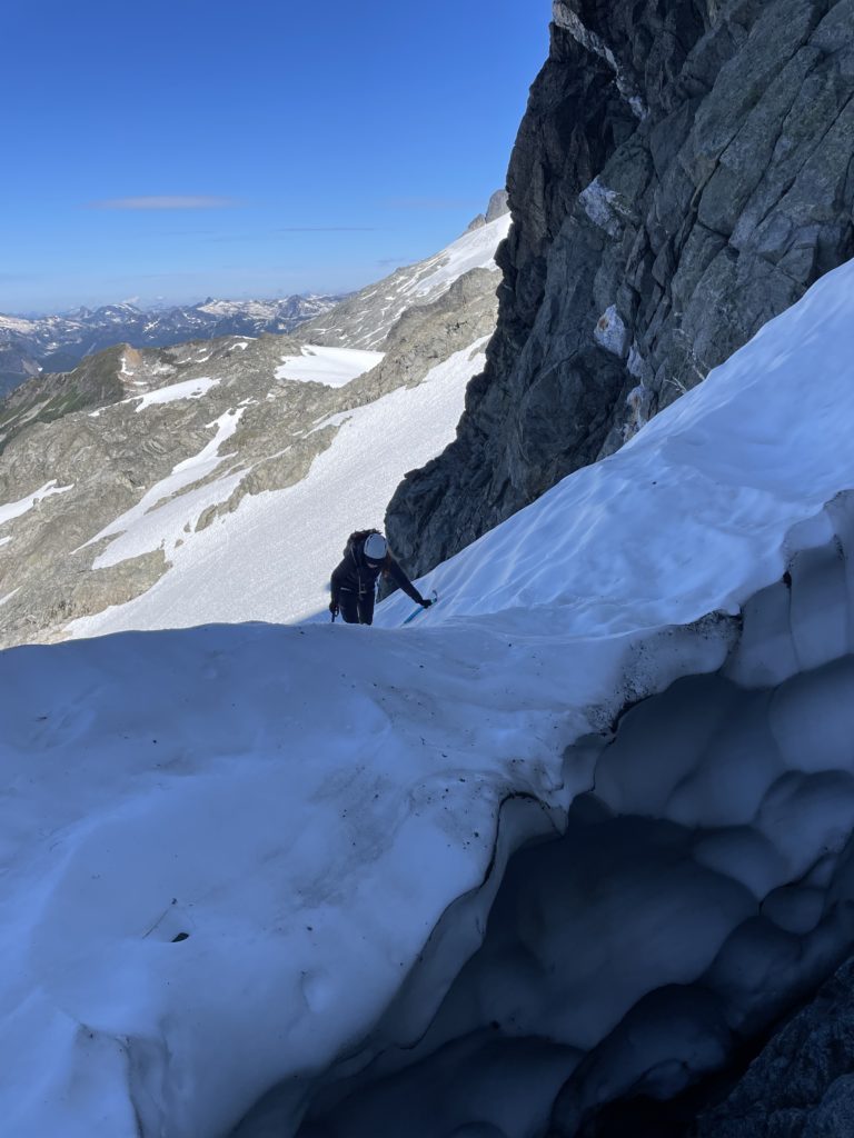
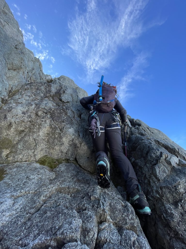
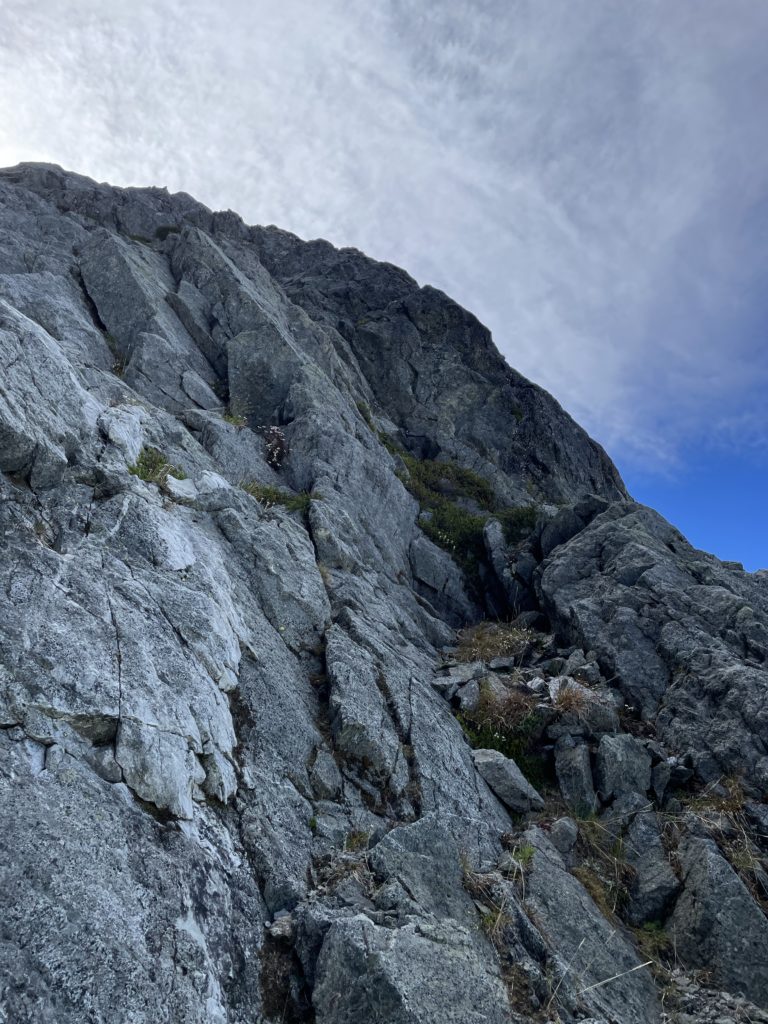
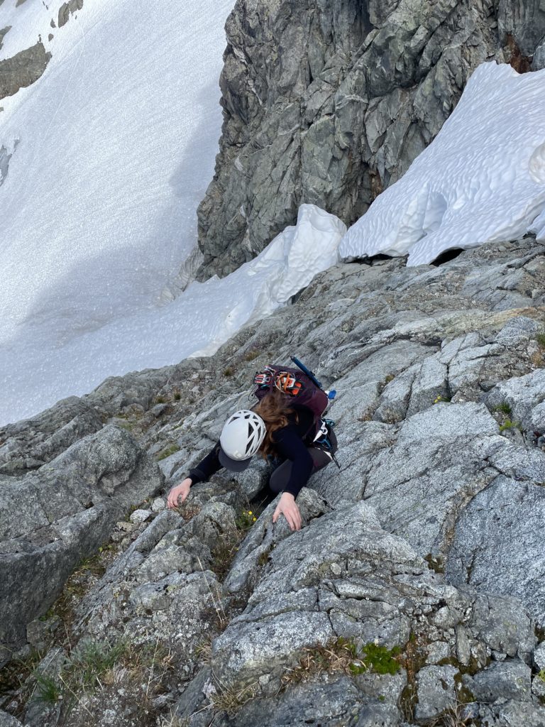
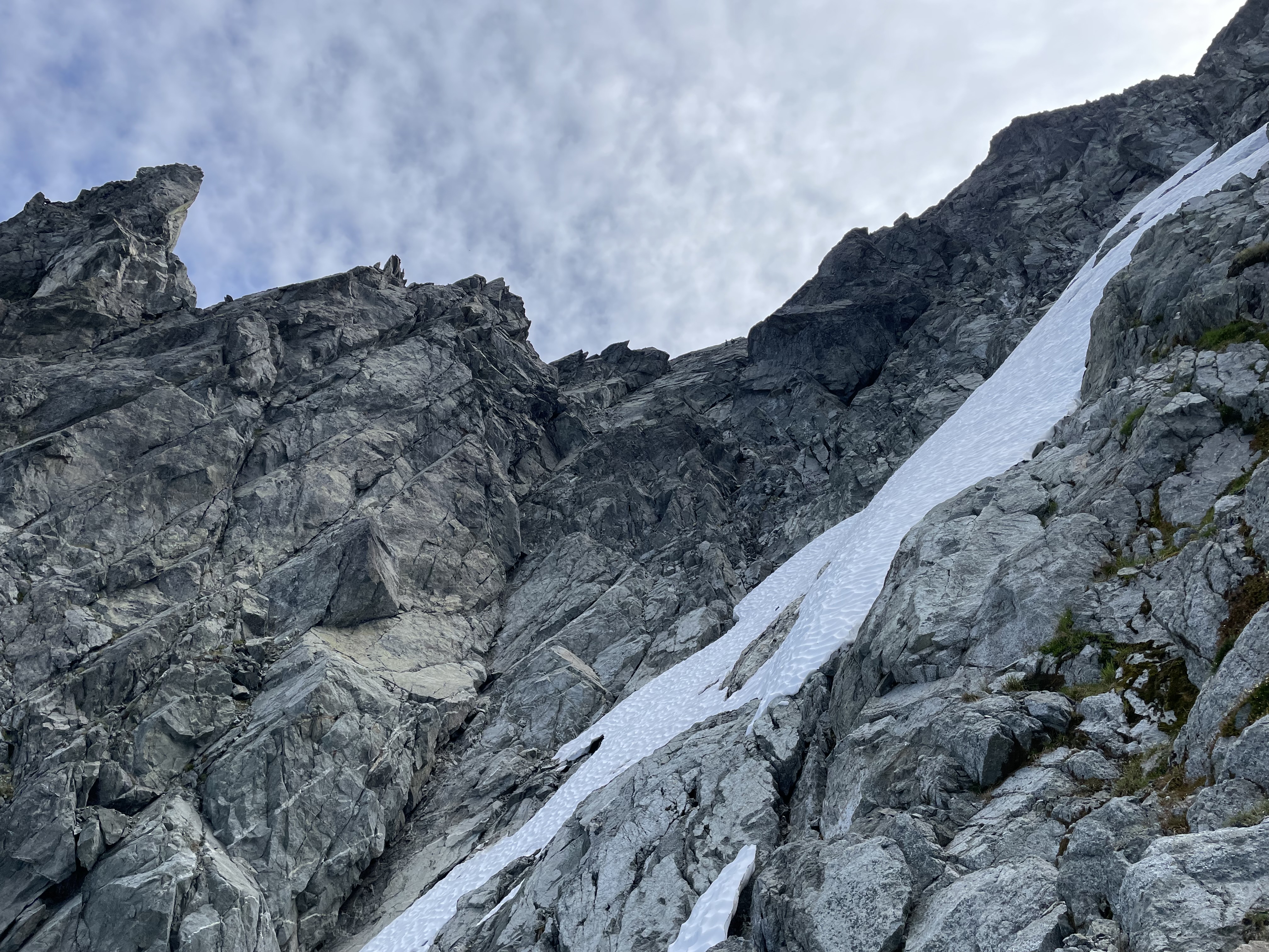
Along the way we spotted numerous rappel stations and while not documented anywhere it appears to be a popular descent route. At around 2180m the grade stiffened directly ahead and we diverted climber’s right up looser terrain to gain the ridge. We then scrambled the ridge a short ways before discovering a deep notch that couldn’t be easily downclimbed. Andrea lead a short downclimb to the base of the notch which we believe is the old descent route on the south west spur. The notch turned out to be part of a gully that was chocked full of loose rocks and didn’t look like a very nice descent line. Above us some climbers were beginning their descent off the summit, so we hurried our way out of the firing zone.
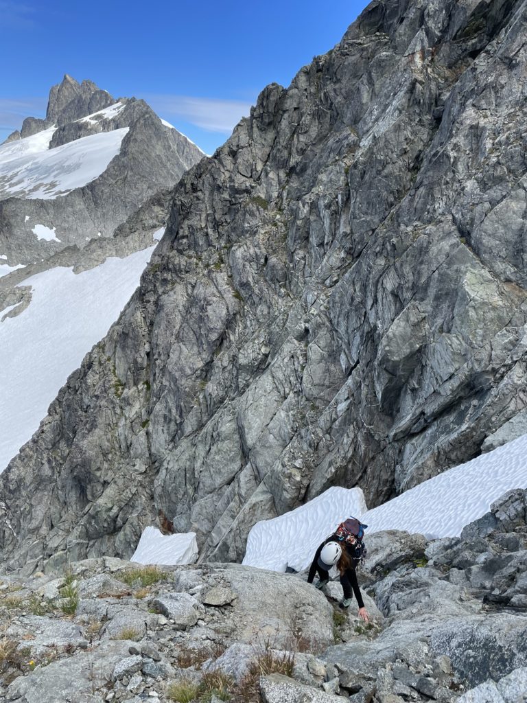
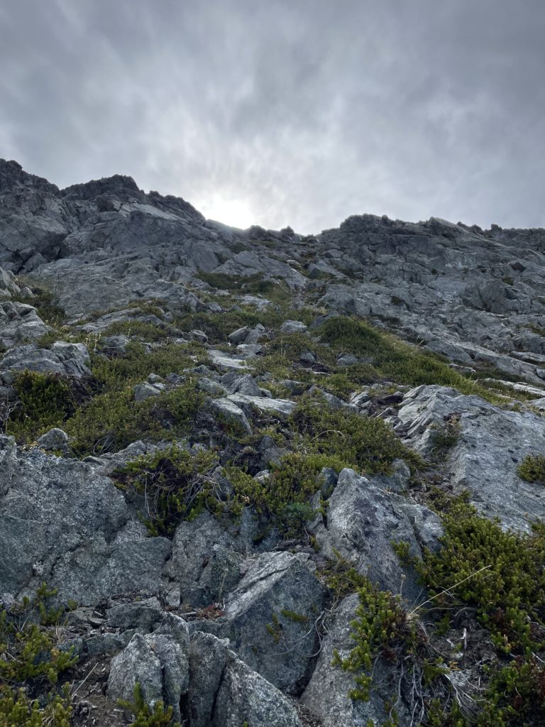
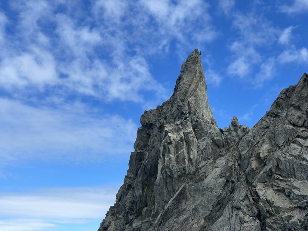
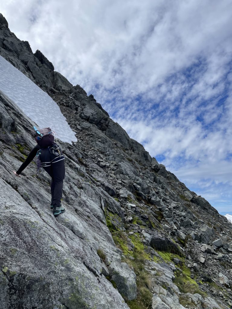
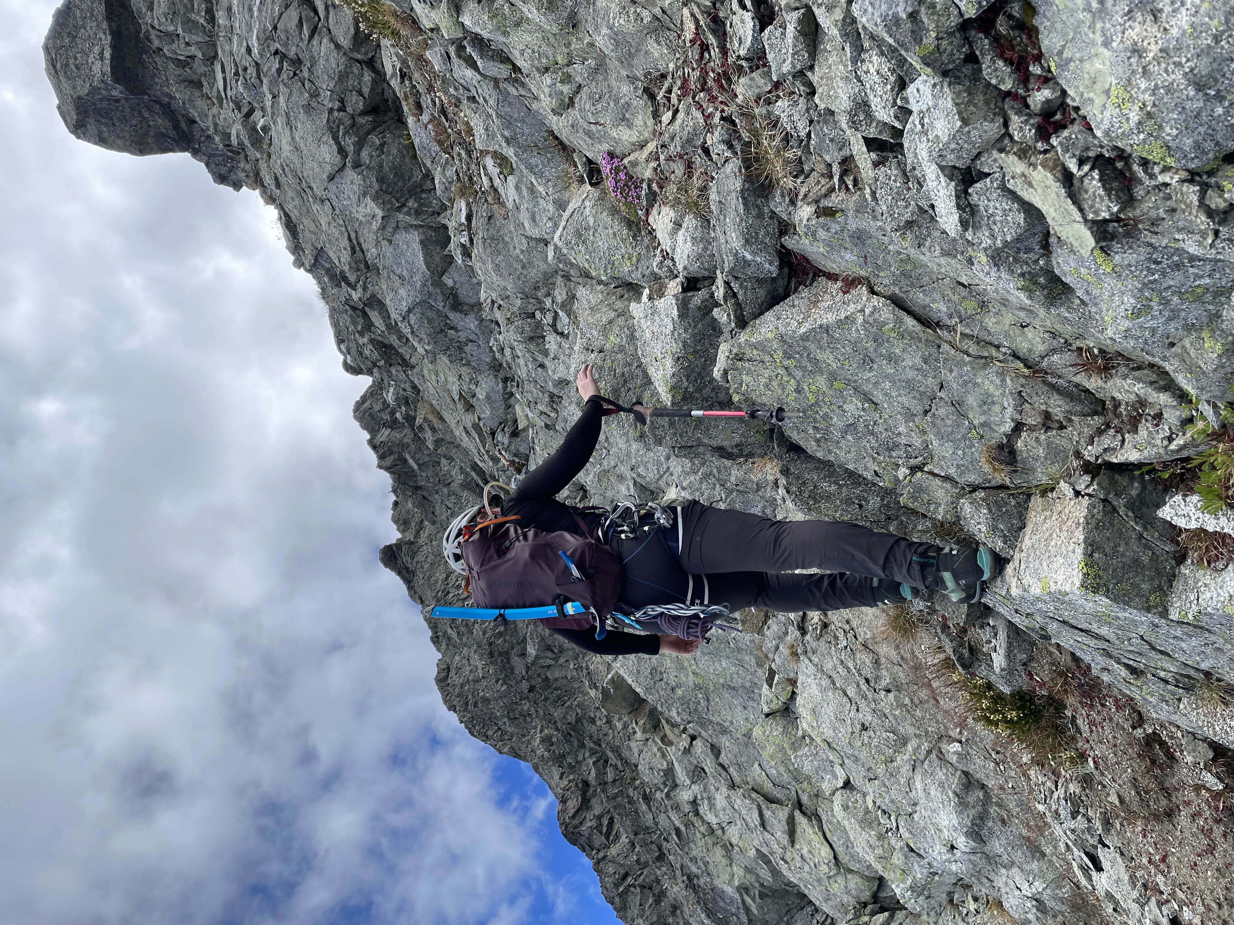
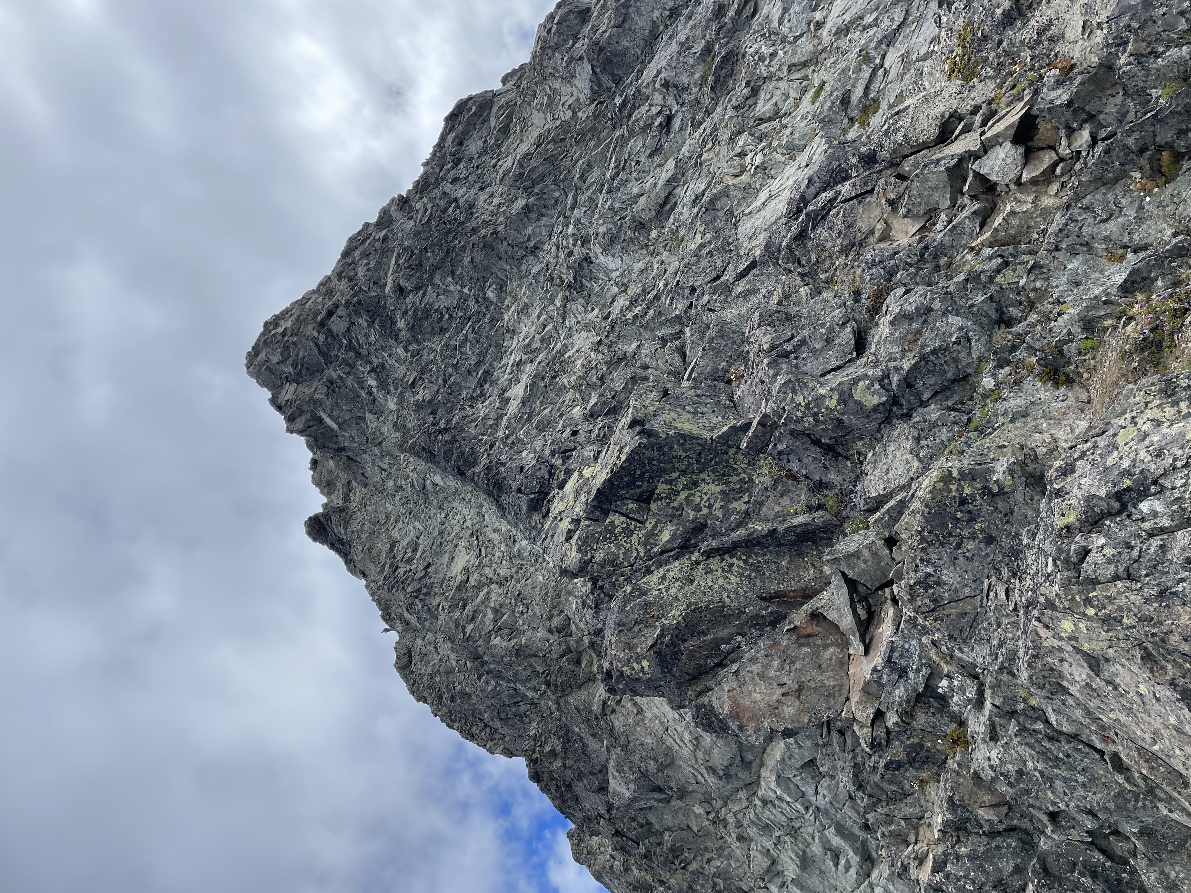
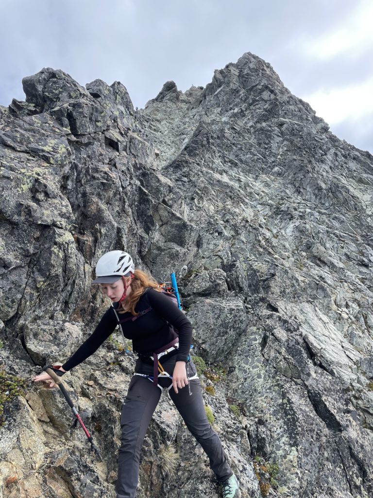
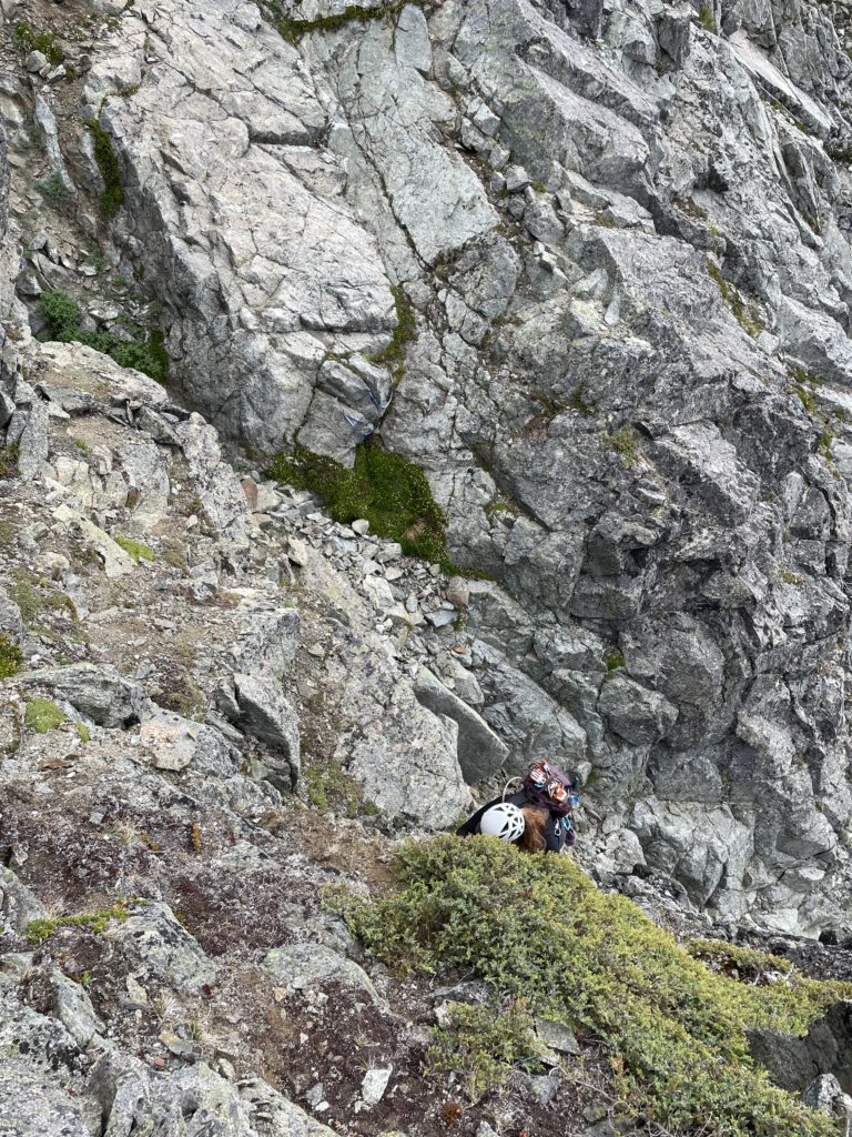
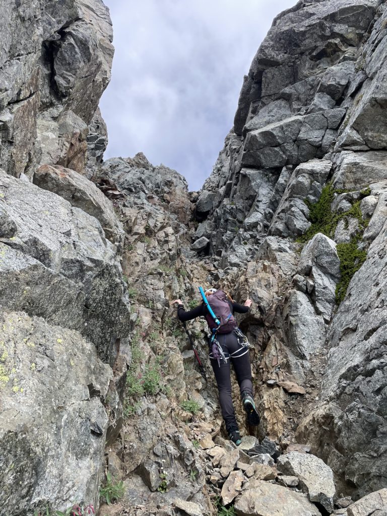
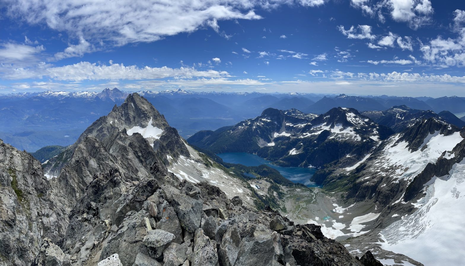
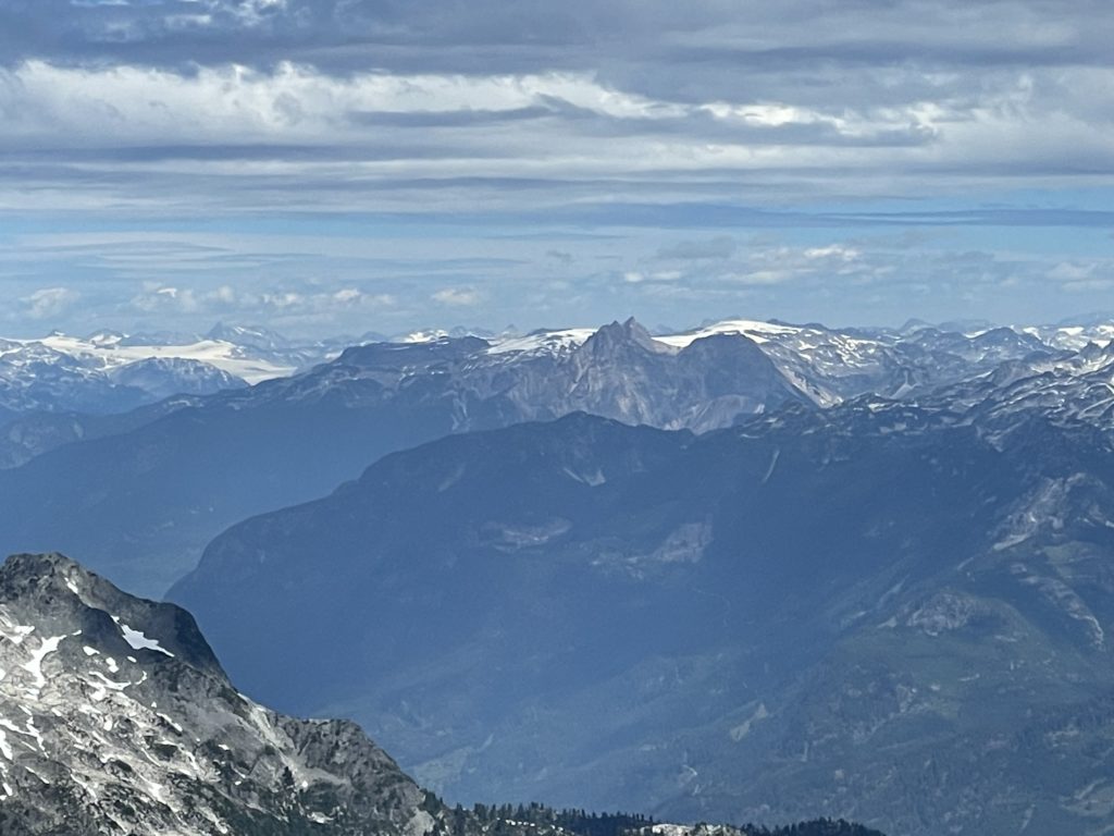
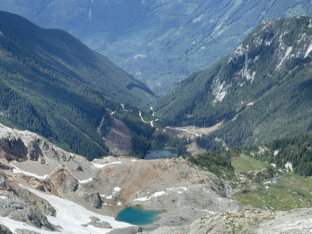
At the end of the ridge/spur the route opened up to a broader summit block with more fun 3rd class scrambling. It was about 100m in elevation on this fantastic terrain before we reached the summit. As we crested over the final few blocks, the terrain gave way to the shimmering turquoise hues of Lake Lovely Water below. It completely exceeded my expectations. The photos don’t really do this lake justice. There was limited wind on the summit so we found a nice flat spot on the ridge to look over the whole Lovely Water area enjoy the sun.
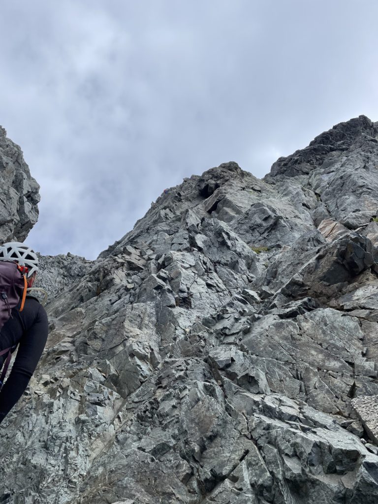
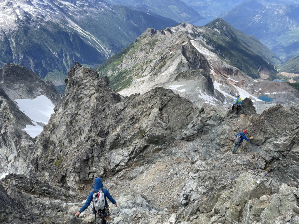
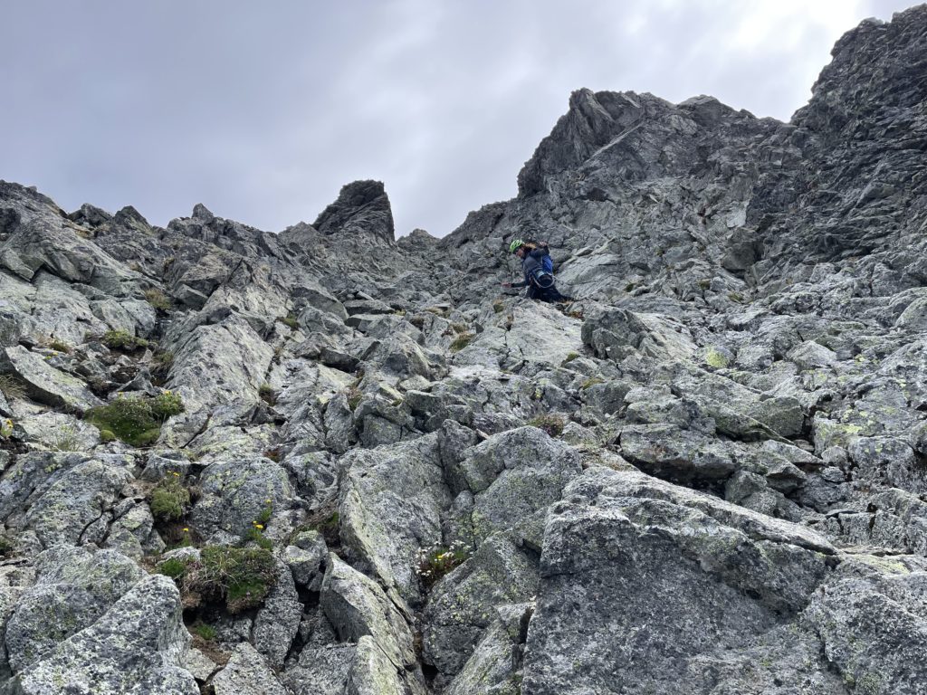
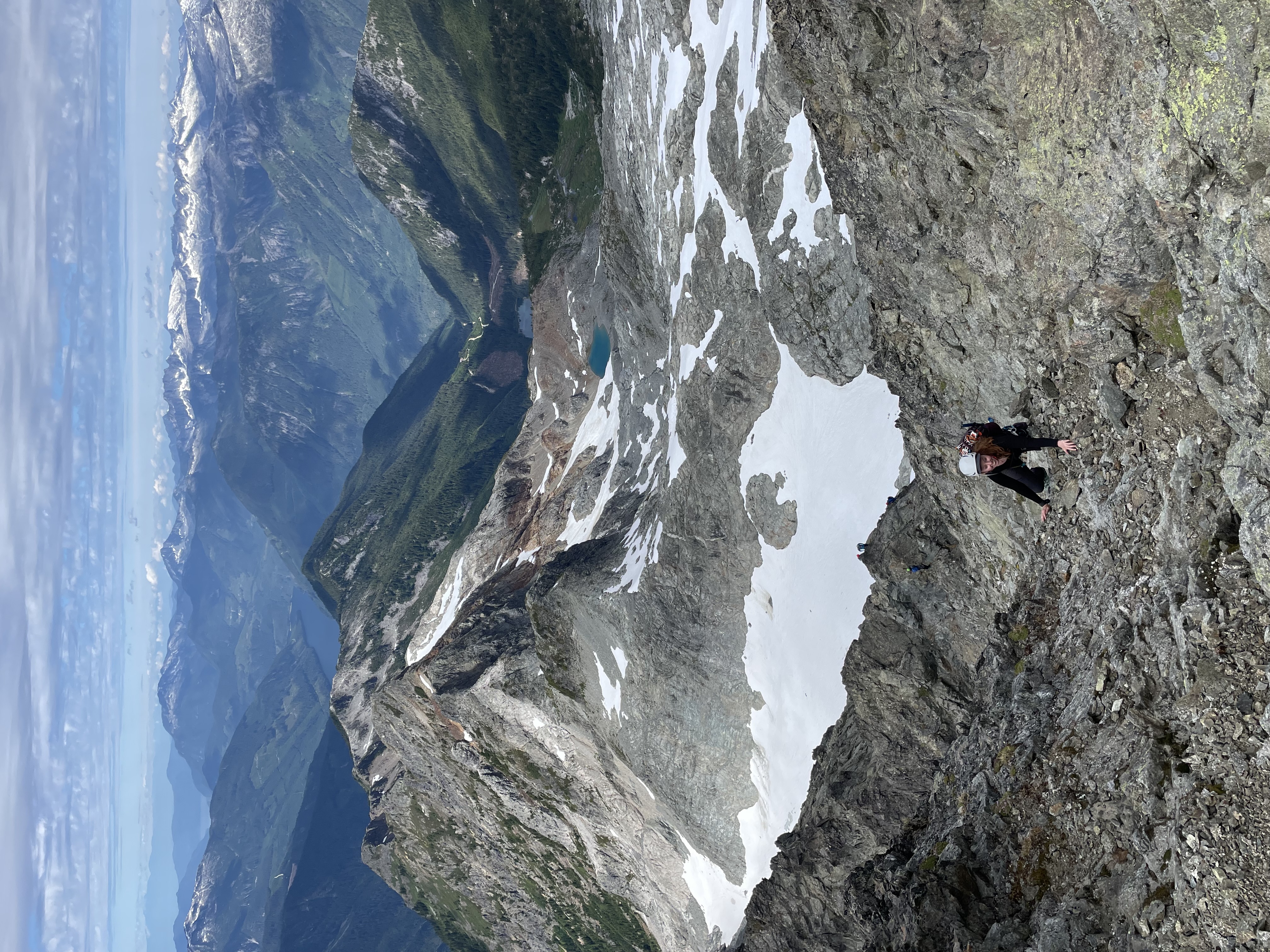
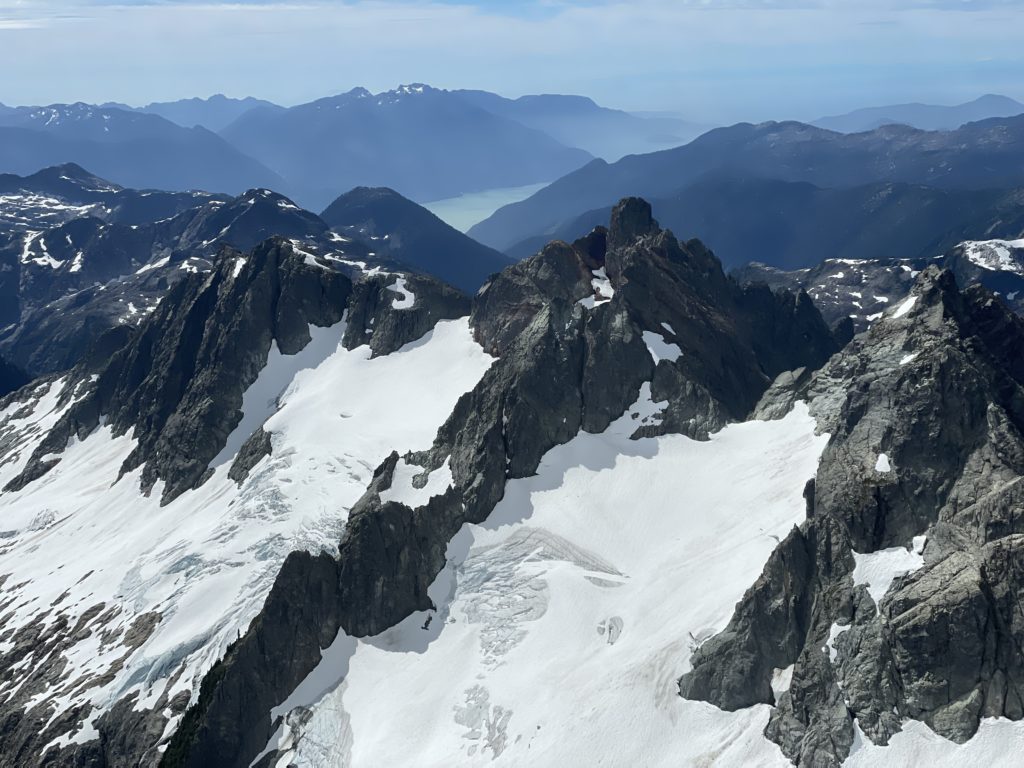
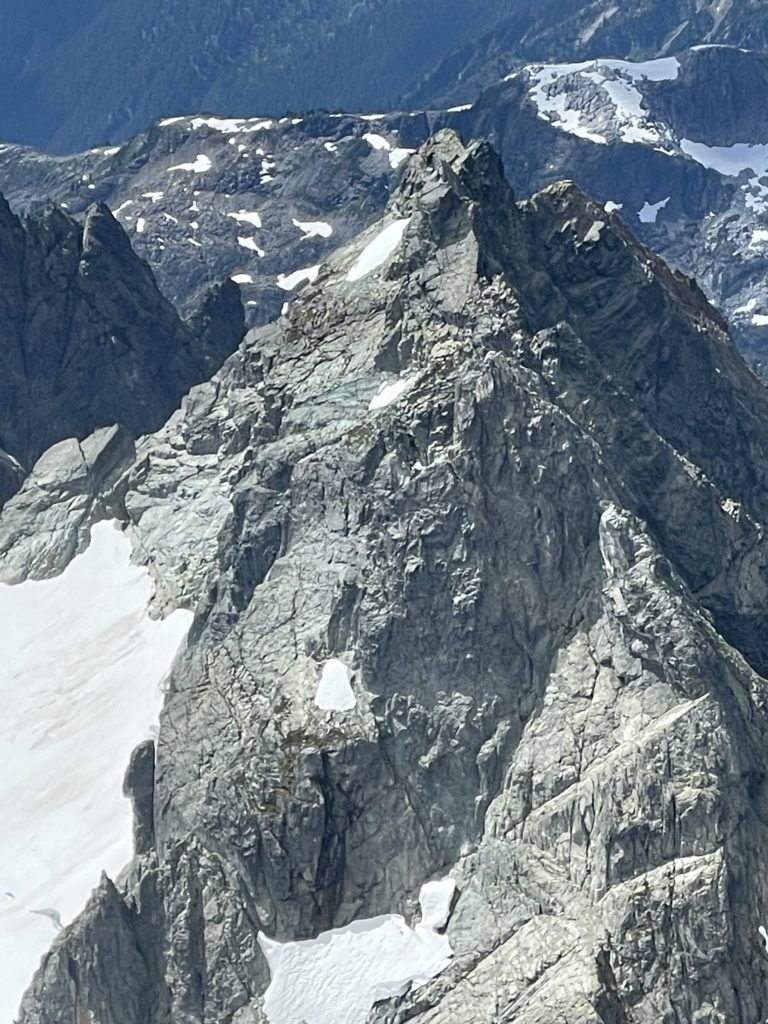
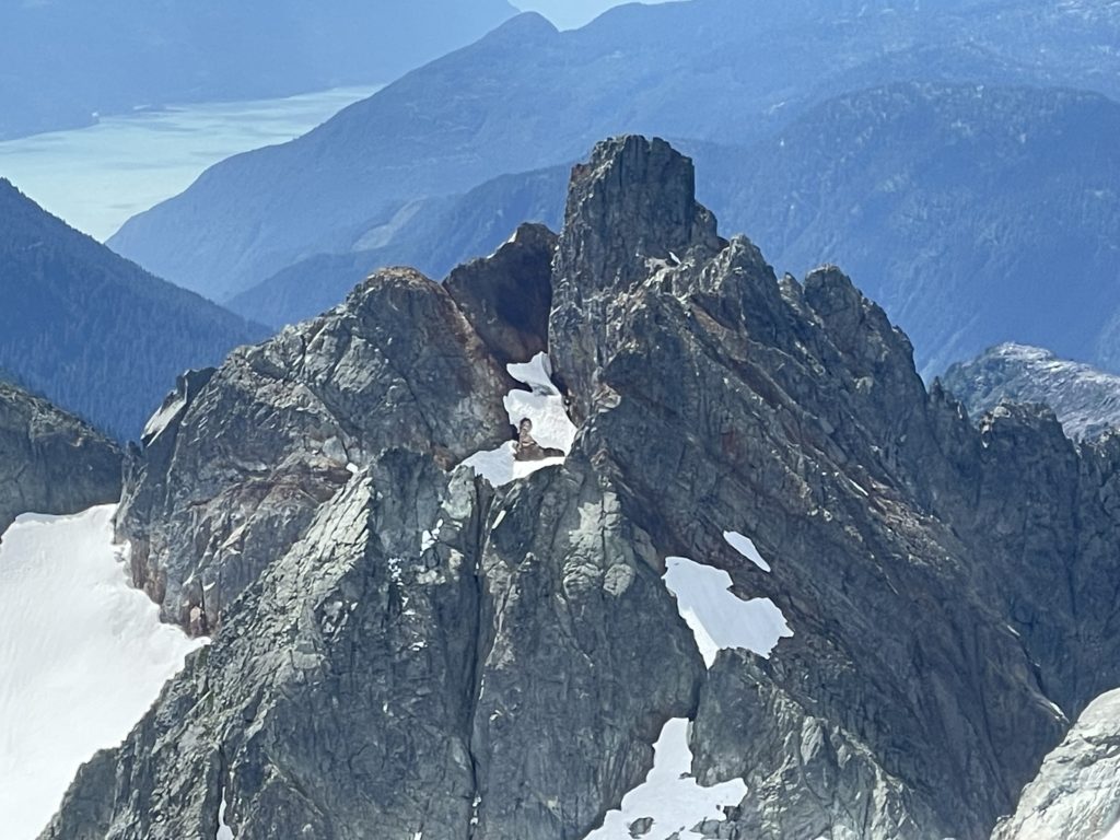
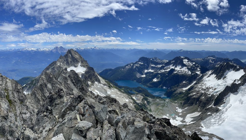
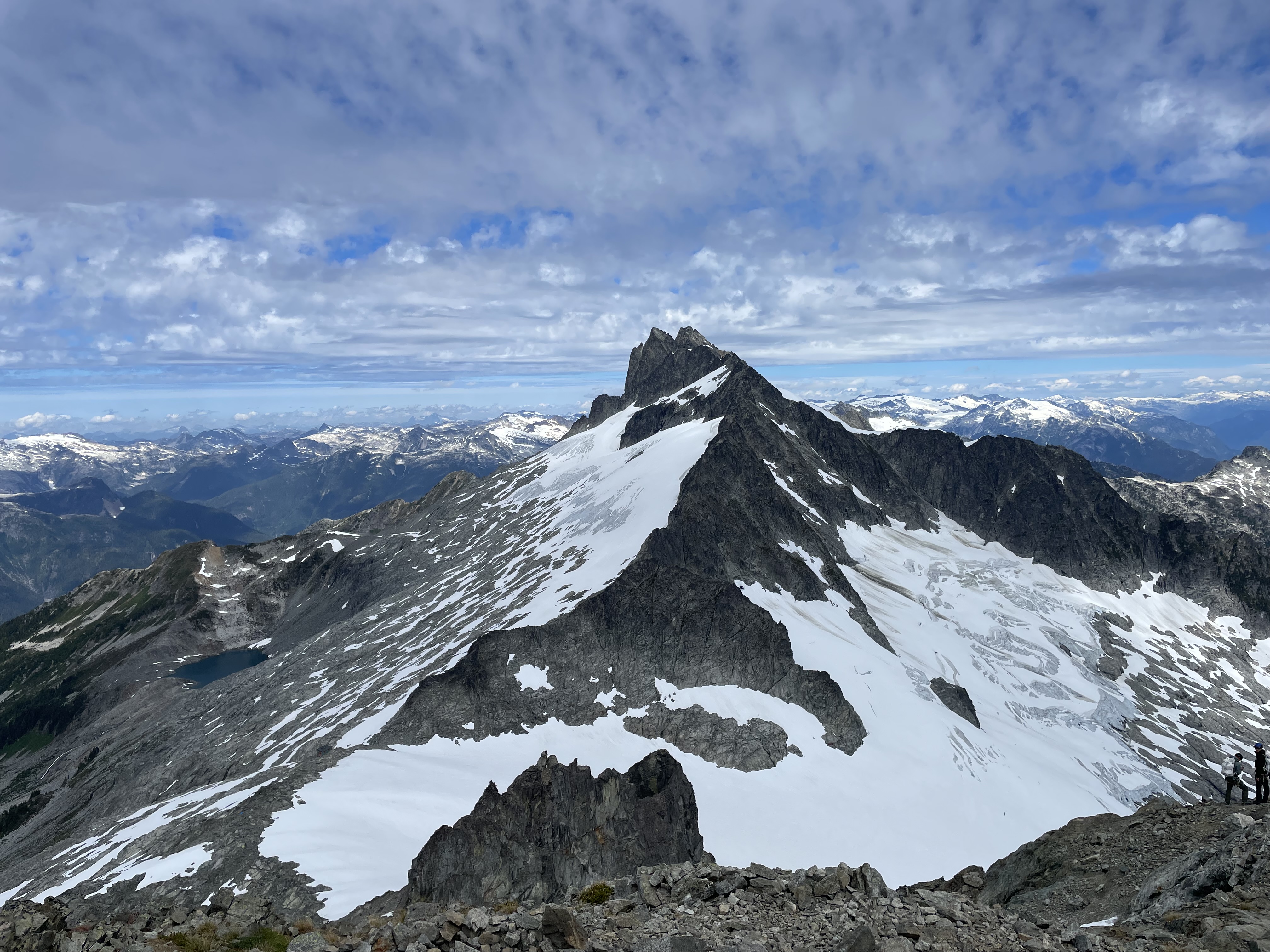
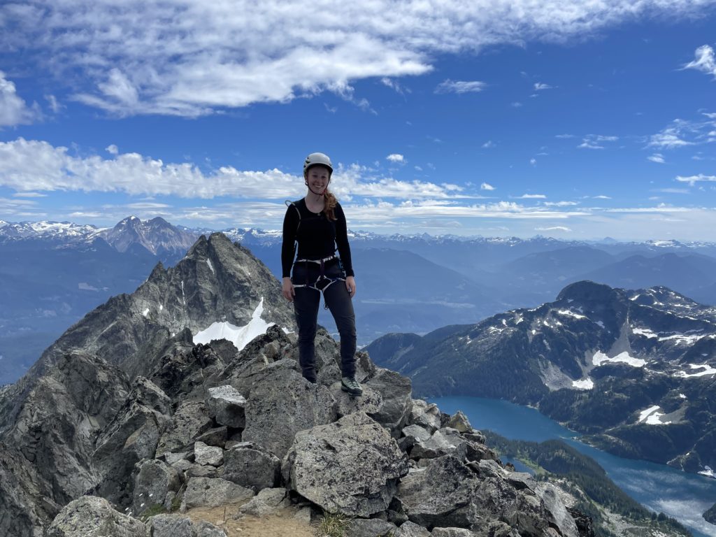
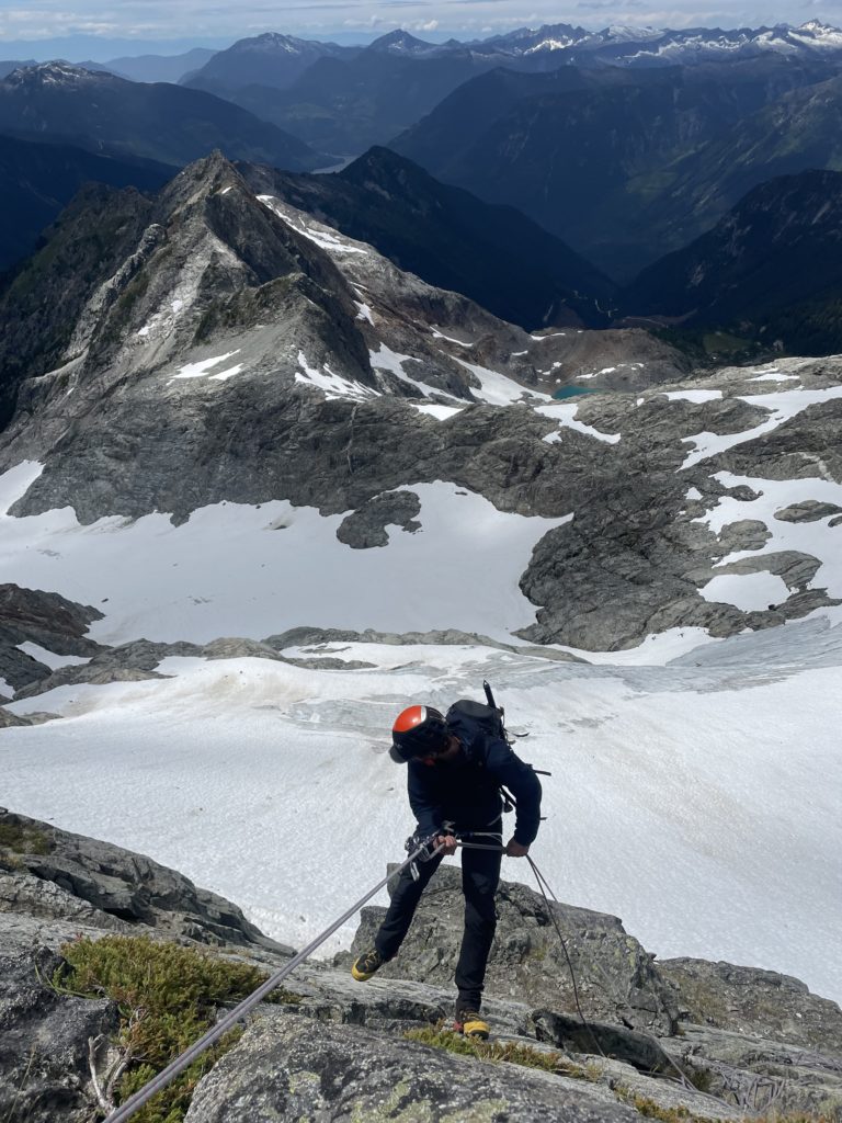
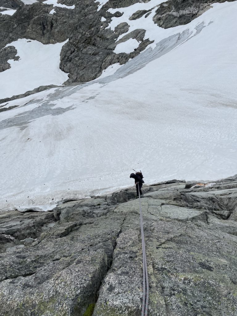
At around 12 we got going again as we certainly didn’t want to miss our ride out. We made the straightforward scramble off the summit down to the first rappel station. I lead us down and located the next anchor almost straight below us at the very end of the rope. Andrea came next and then we did one more rappel to reach the bottom of the upper snow patch where we had diverted climber’s right on to the ridge. I had made note of a few rappel stations on the way up and now focused on tracking them down. The problem was, a lot of this terrain was 2nd and 3rd class which made the rappels not necessary. However, we had time to kill and didn’t feel like packing up the rope in between down scrambling. For the next three rappels Andrea lead first and I simply scrambled down. This seemed to be quite efficient and didn’t necessitate putting the rope away. On the 6th rappel the terrain steepened again as it veered skiers left of our ascent line into 5th class terrain. Andrea lead again, but had a hard time finding the next anchor. It wasn’t located super intuitively, but we eventually found it further skier’s right than expected.
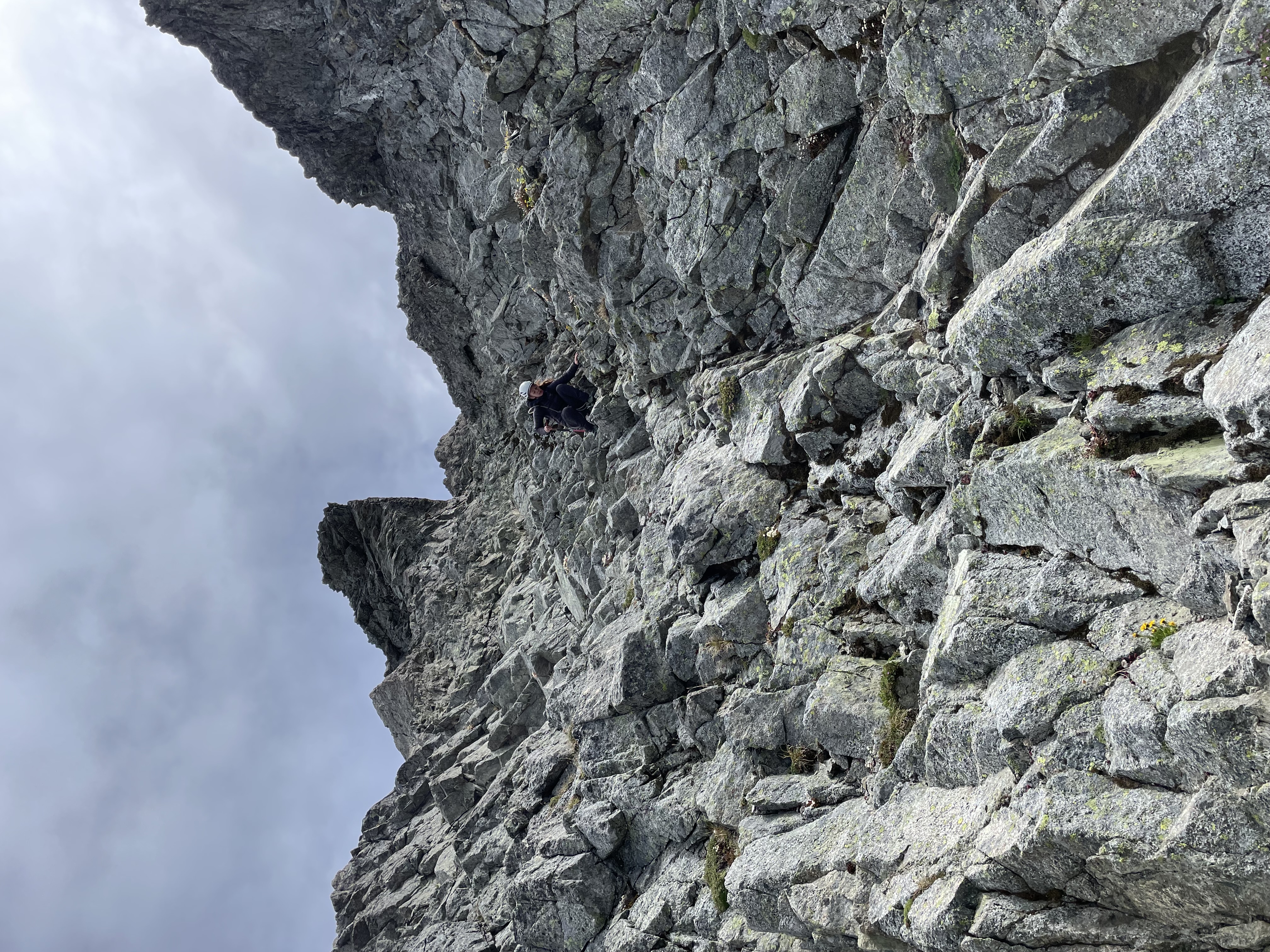
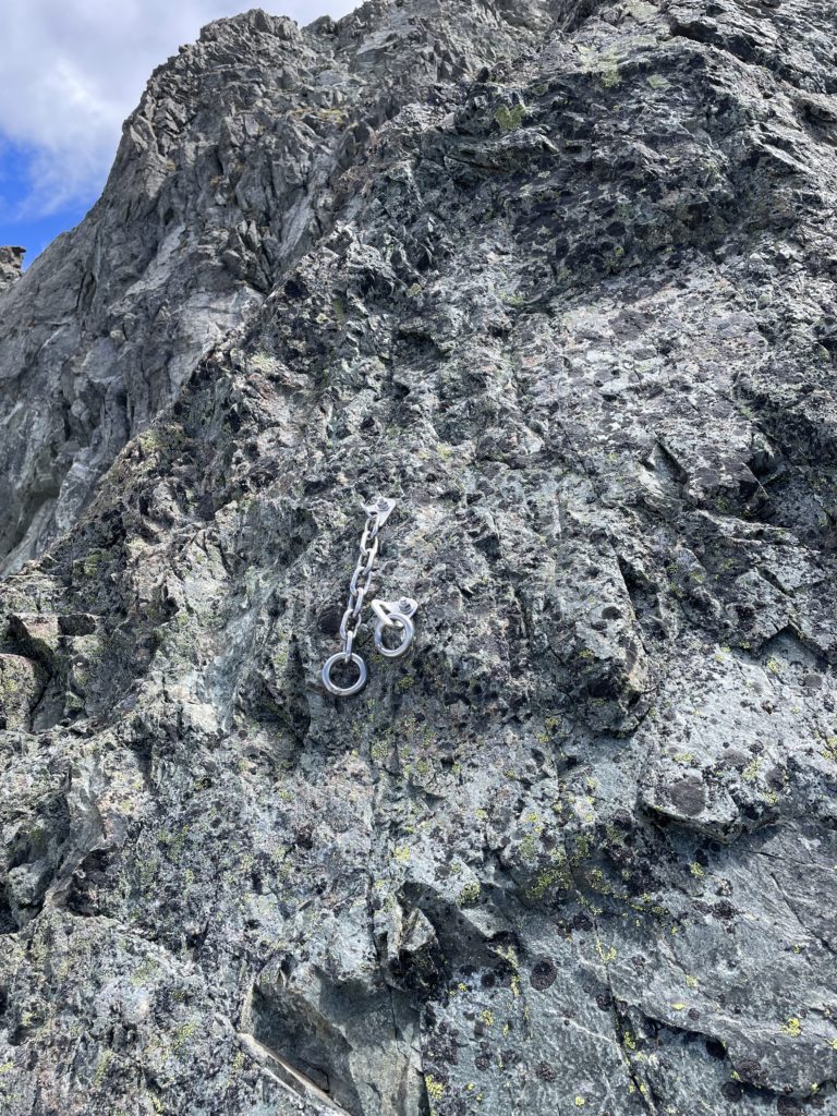
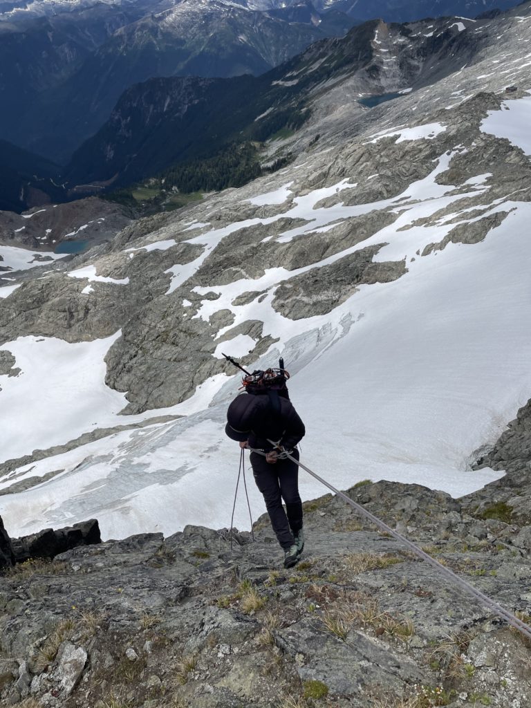
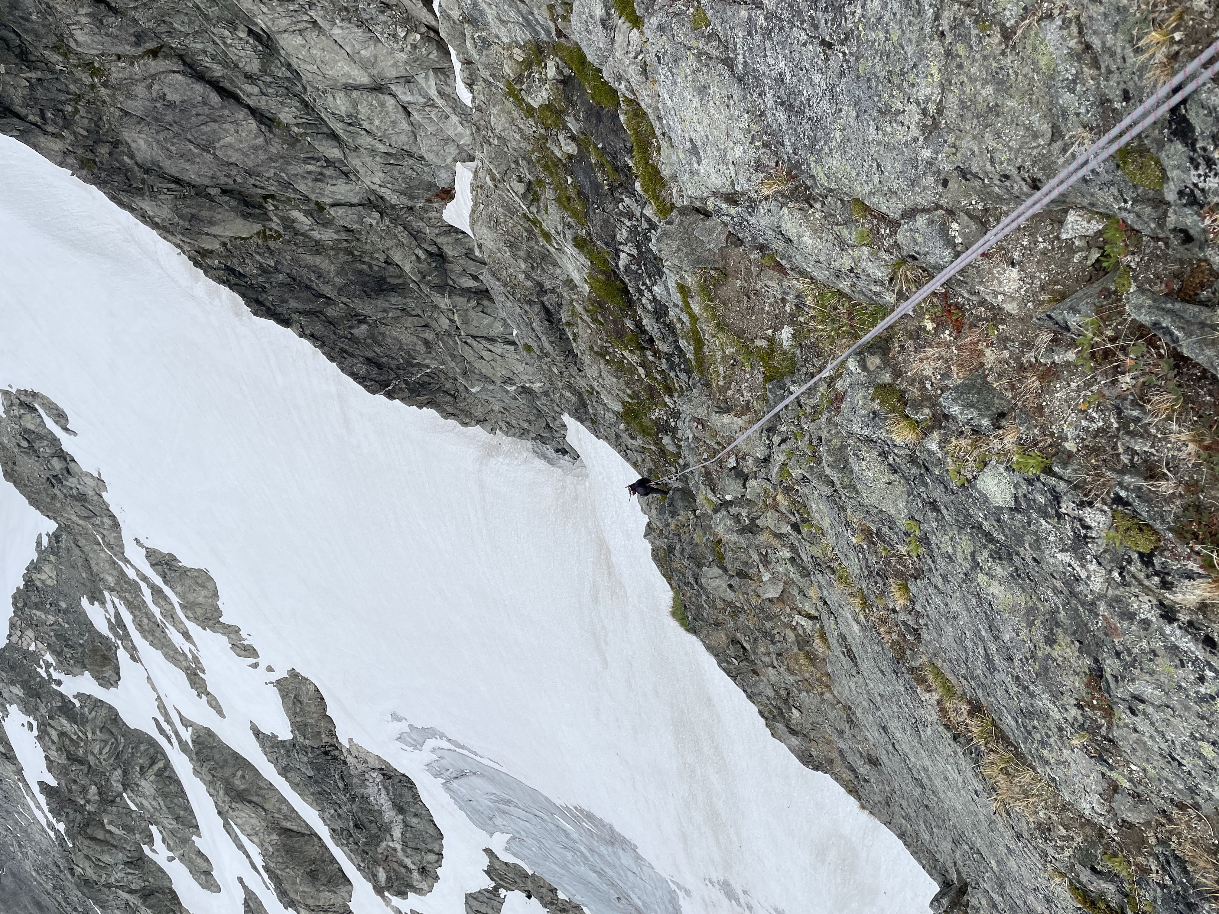
I then lead one long rappel down the face and then Andrea lead another full rope length rappel before a final half-rope rappel got us back to the snow. A total of 8 rappels off the West face. All told probably only the upper two and bottom 3 rappel stations are necessary. Although one could comfortably down climb the whole route if need be. Once back at the snow it was short jaunt over to our gear stash near the hut. We had about 3 hours to kill at this time so we settled in for a nice alpine nap in the sun.
Our helicopter arrived exactly on time for 5PM and flew us out with a nice detour around some of the more obscure summits in the area.
