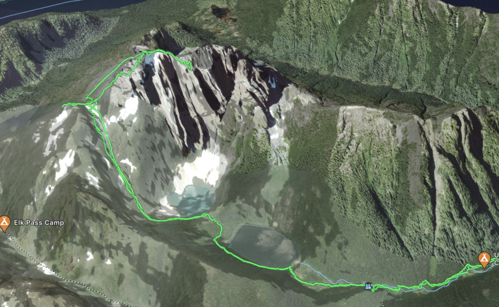
Elevation Gain: 2,544m
Distance: 34.8km
Total Time: 48 hours, 12 minutes
Date: July 4-6th, 2023
For months I had been planning a week long heli-assisted traverse into one of the more remote areas of SWBC. The plan was to climb a twice ascended alpine tower and reach a number of prominent peaks in the surrounding area. However, in the last few days leading up to the trip our helicopter plans fell through. Most operators were on contract for forest fire fighting and there’s virtually no other way to reach this area. I debated hanging on to my precious vacation time, but our original group of Steven, Elise and Brayden were still keen to take advantage of the time off. The issue was finding a suitable alternative that had all the challenges we were looking for.
Steven threw out a traverse in Washington and a multi-day trip to Mount Colonel Foster. The Washington summits all struck a familiar chord, but Colonel Foster was a summit I had never heard of it. As it turns out, it’s the 4th highest peak on Vancouver Island and one of the most challenging ones. In fact it’s some what of an alpine climbing mecca on the island, boasting several 800m+ grade IV alpine routes. The easiest route to the summit is a ridge line traverse involving close to a kilometer of travel in highly exposed terrain with a number of technical rock cruxes, steep snow and challenging route finding. Colonel Foster had all the hallmarks of a good trip and I was sold.
Our new plan was to leave early Tuesday to catch a ferry and attempt the summit over 3 days with an extra day or two of contingency. So, Tuesday morning I woke up at 3am and made the drive down to White Rock to meet everyone. By 4am Elise, Steven and I were all gathered up but no sign of Brayden. We tried calling him, but no luck and by 4:25am we had to make the unfortunate decision to press on without him otherwise we’d miss the ferry.
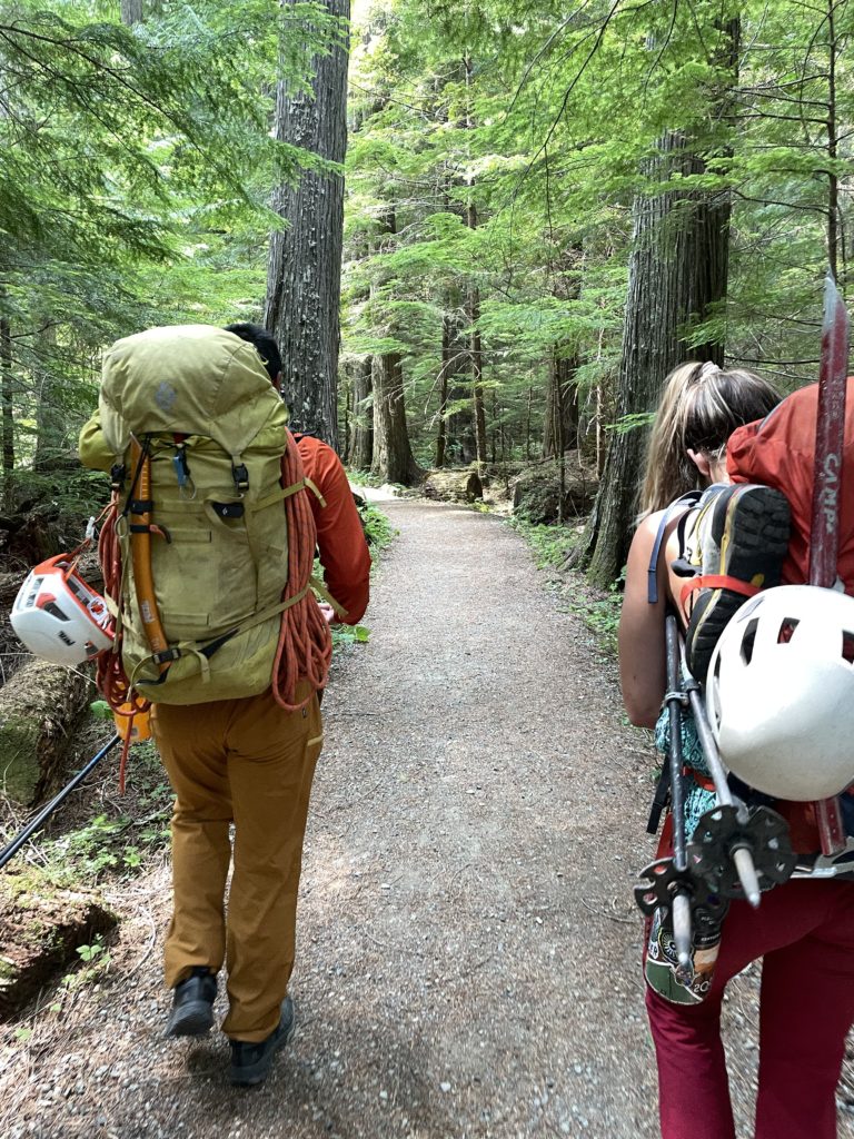
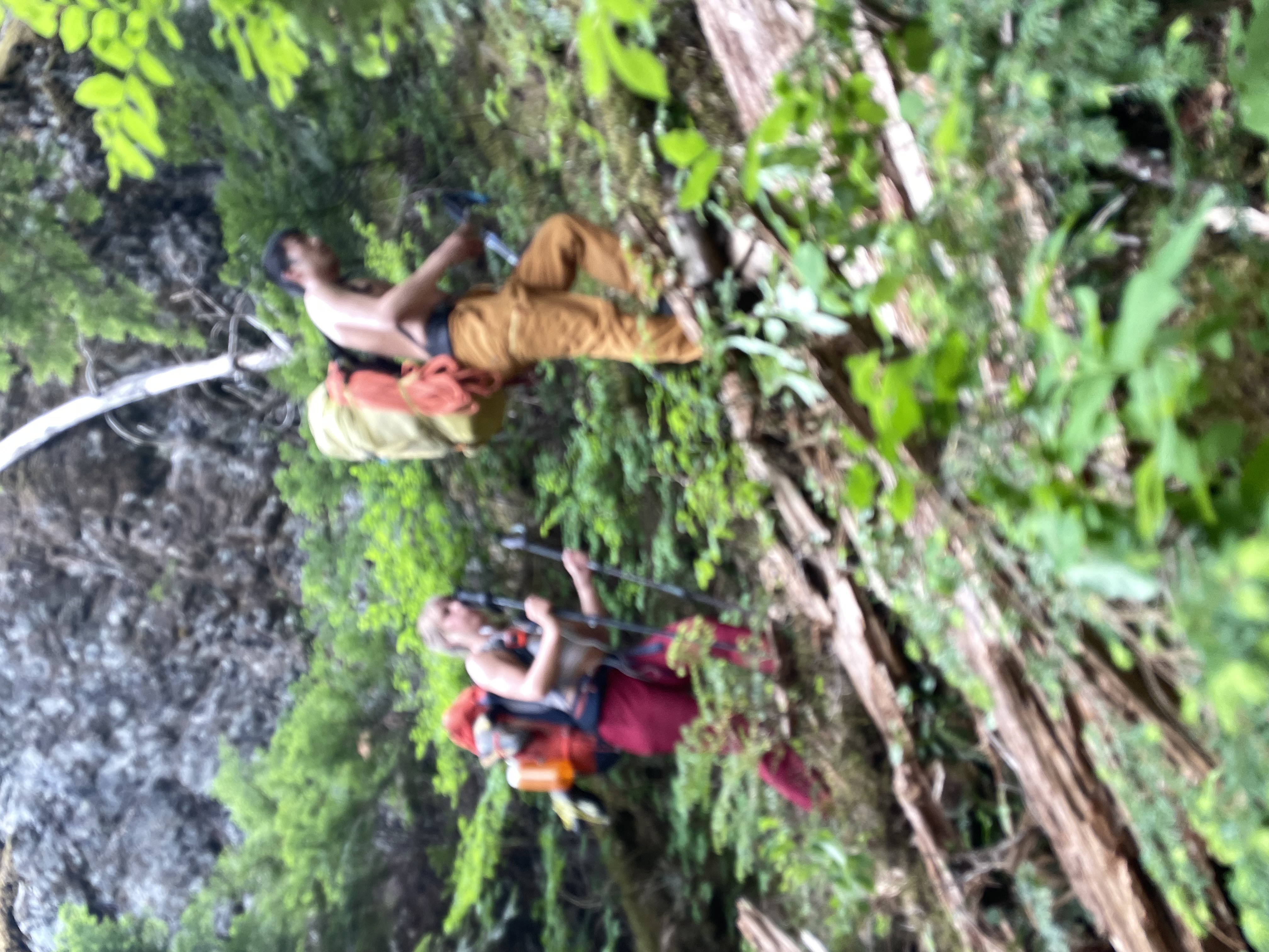
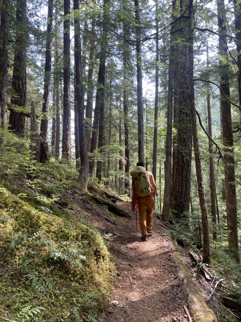
By the time we reached the terminal our reservation was already expired and we were now at the mercy of the ferry capacity. In a sign of good fortune, we drove on as one of the last 10 or so cars and our plan was still intact. After the crossing Steven drove us out to Strathcona Park with a quick lunch stop in Campbell River. We took a bit of time to arrange gear and started walking around 11:30am, right on schedule. It didn’t take more than few steps to uncover the slog that lay before us. The heat and humidity was stifling and the heavy pack didn’t help, but Elise and Steven set a blistering pace nonetheless. I did my best to keep up and the first 11 or so kilometers passed on.
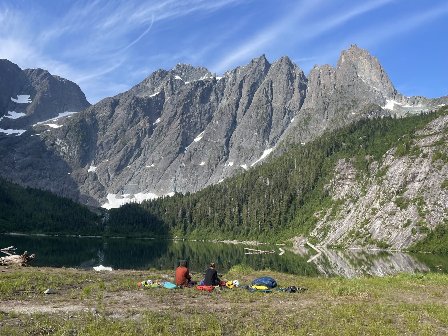
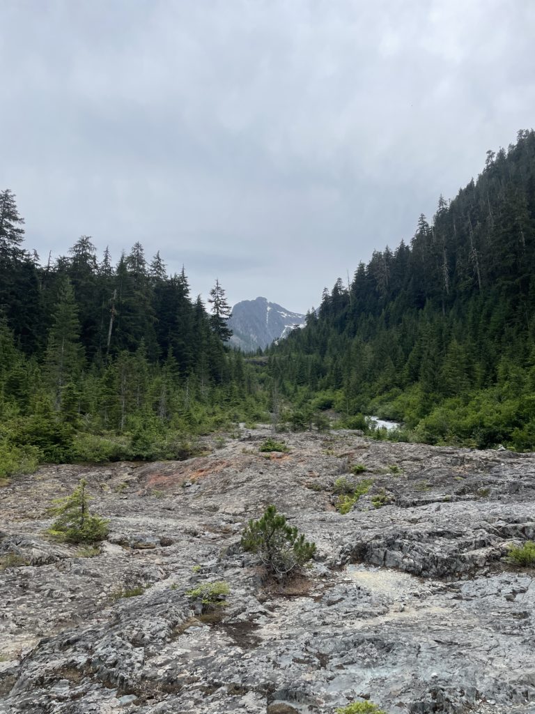
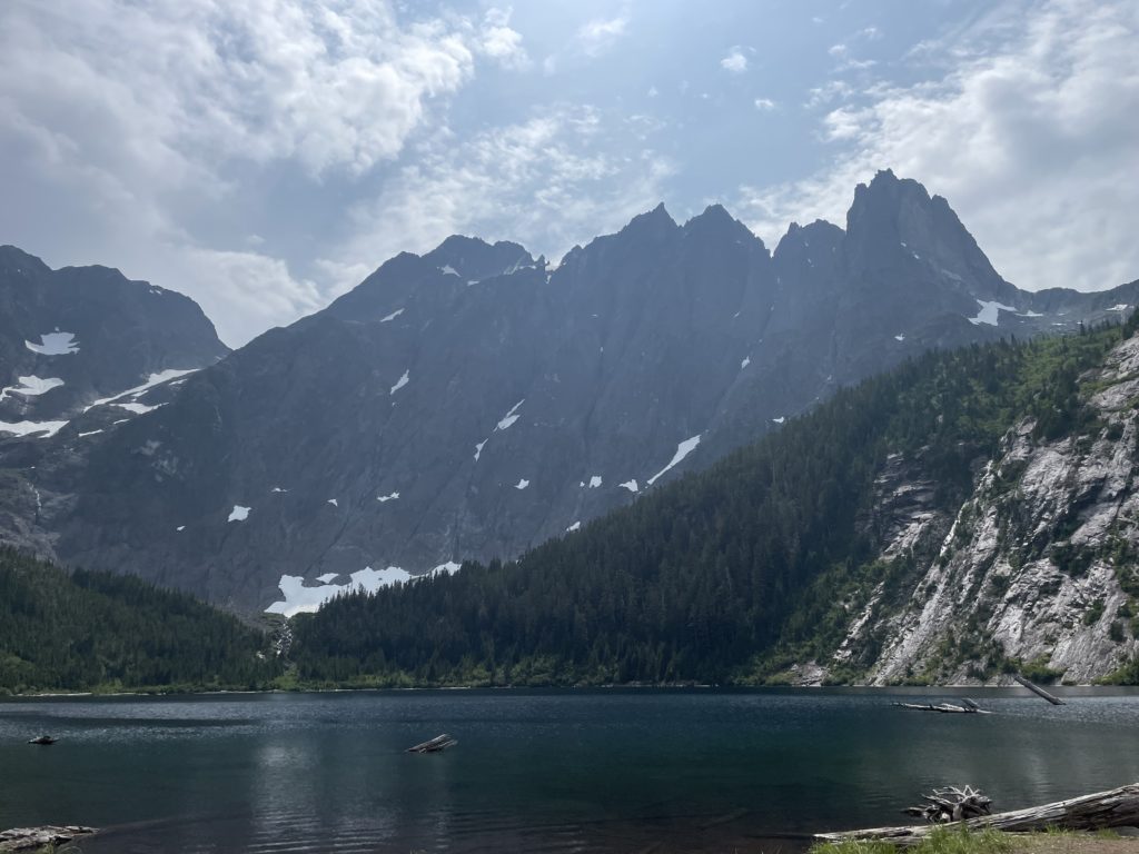
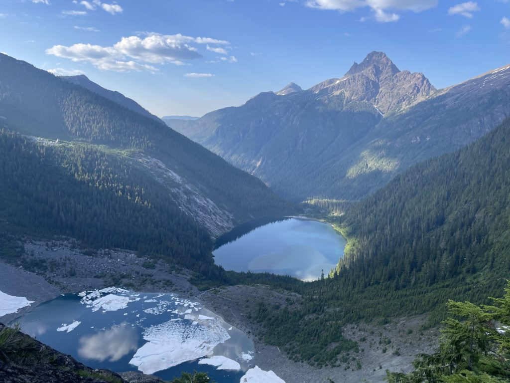
At this point the trail steepened and followed a long open slab section before re-entering the forest and up to landslide lake. Here we had our first good look at Mount Colonel Foster. The east face dominated the skyline with massive buttresses rising 1000m above the lake to a series of sharp pointed peaks. High above we could see the upper glacier we’d be on the following day. The scene felt truly jurrasic in nature. Our day is far from over though, so we pushed on through a dense forest trail up to Iceberg Lake another 100m in elevation above.
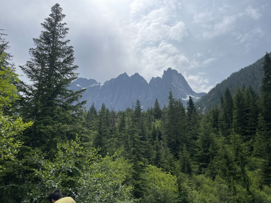
Now at this lake we had a look at the route up to the south col; our stopping point for the day. We needed to gain a long snow slope below the col but it was now well into summer and the lower section of steep exposed bluffs was snow free. The Vancouver Island Select book offers a class 2 route through here, so despite the appearance from afar, something was bound to reveal itself. First we had to slog up a long scree slope though. I slowed down quite a bit on this section as Steven lead a fast charge up to a waterfall crossing around 1150m.
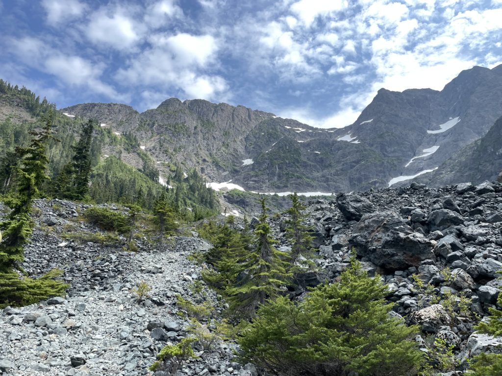
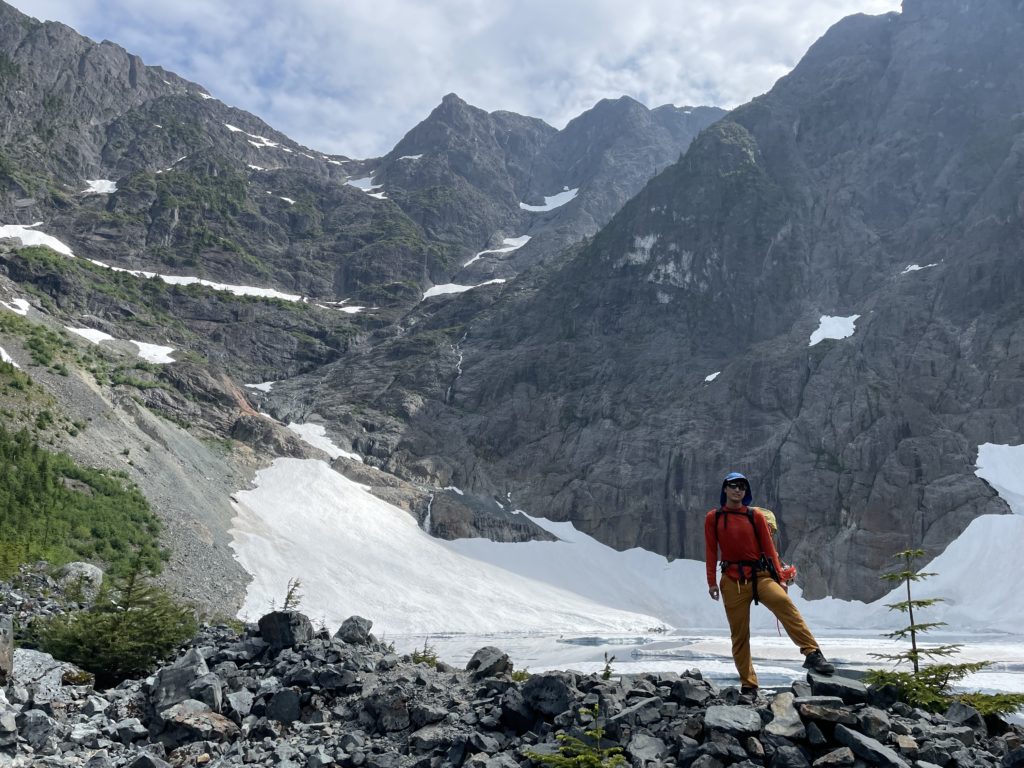
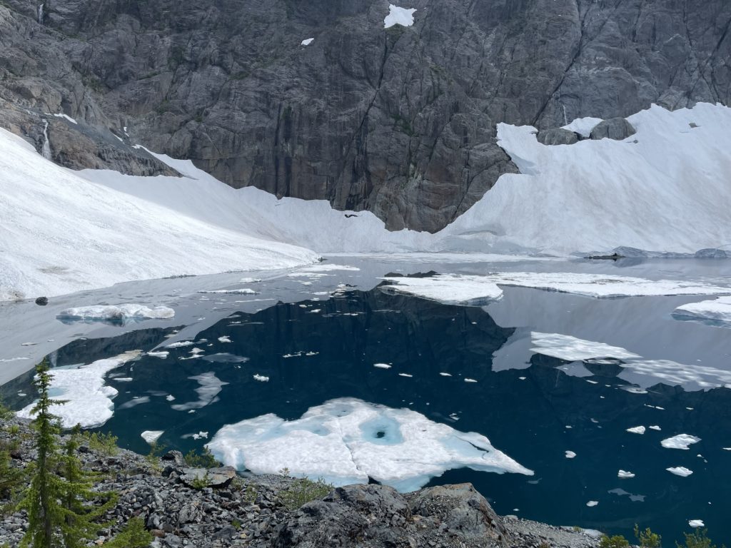
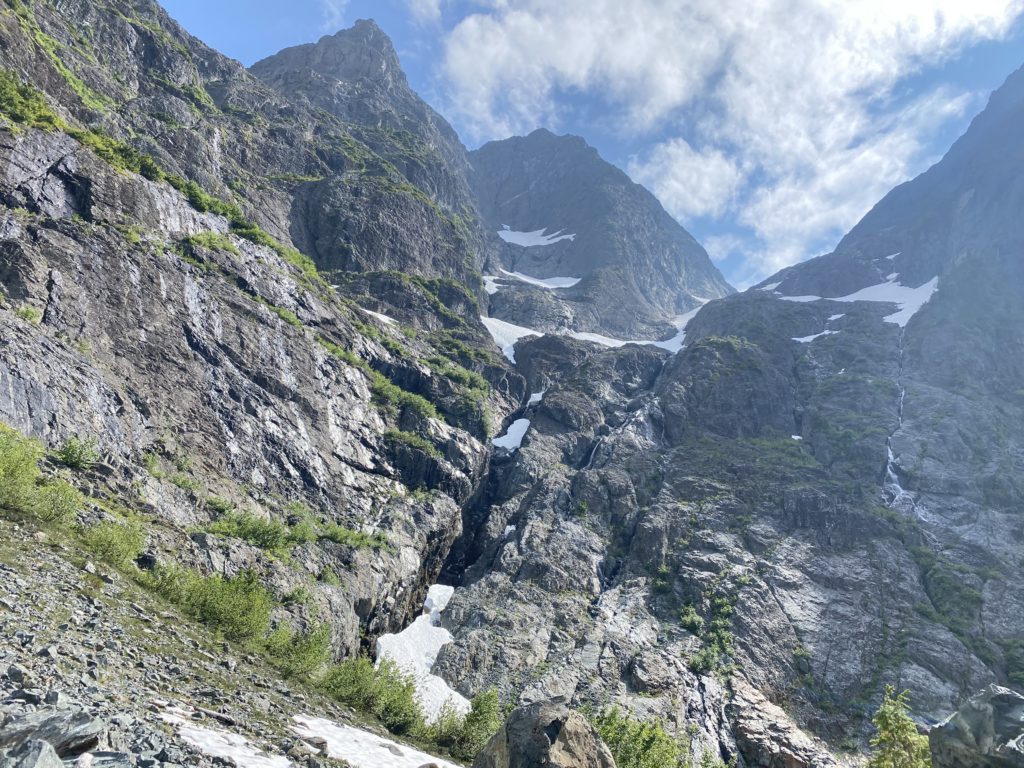
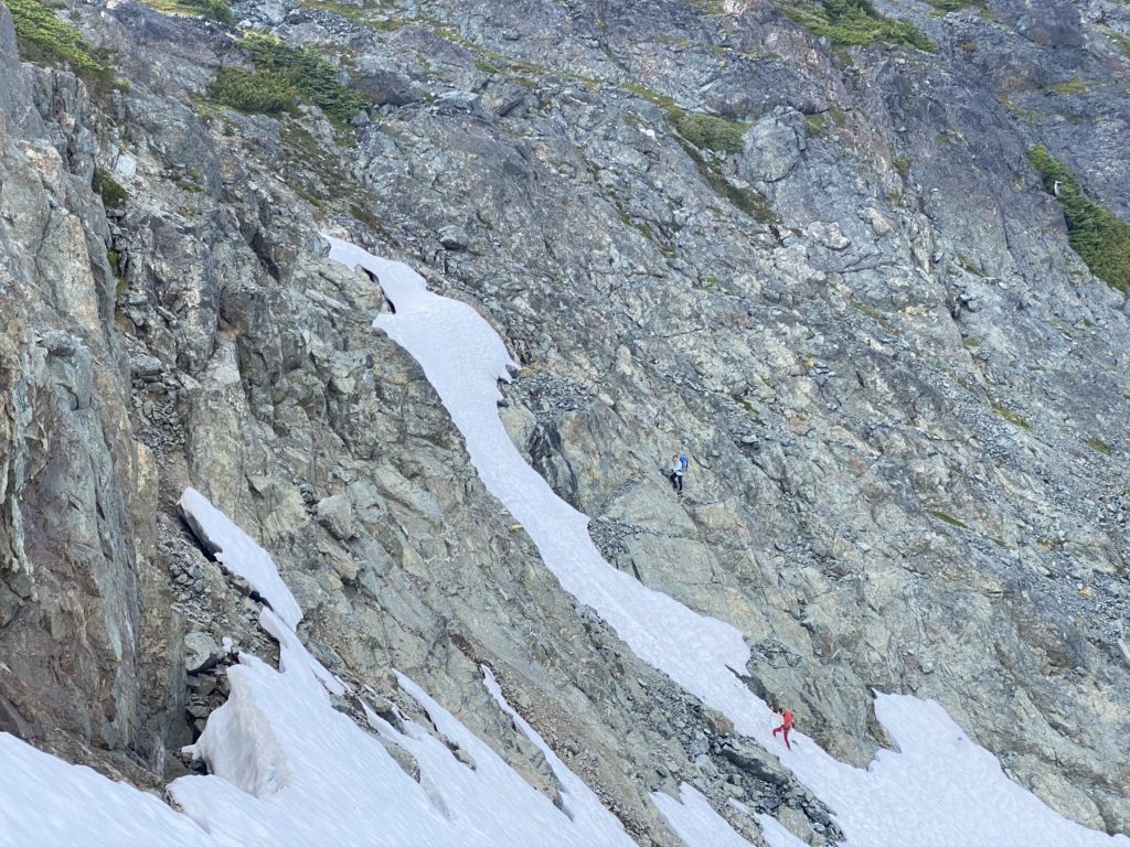
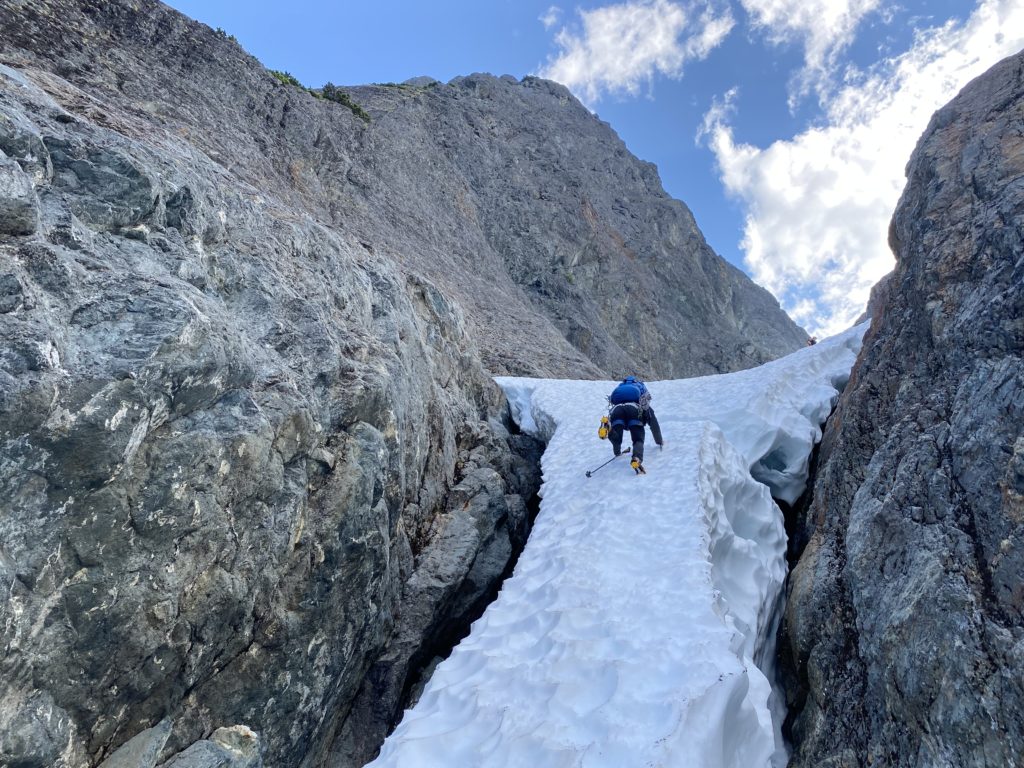
Here we stopped to swap into mountaineering boots and then Steven lead us up a reasonable line through the bluffs. As anticipated the route was less contrived than it appeared from afar. There was one tricky 5th class step and with the heavy packs added on a little extra challenge. Above we found a rappel anchor so that eliminated some burden for the return trip. Shortly after we reached the base of the snow slope. We could see ahead a thinning snow bridge that offered the last connection to the upper snow slope. Without it, you could probably scramble further up, but it’s nice to have continuous snow for a quicker ascent.
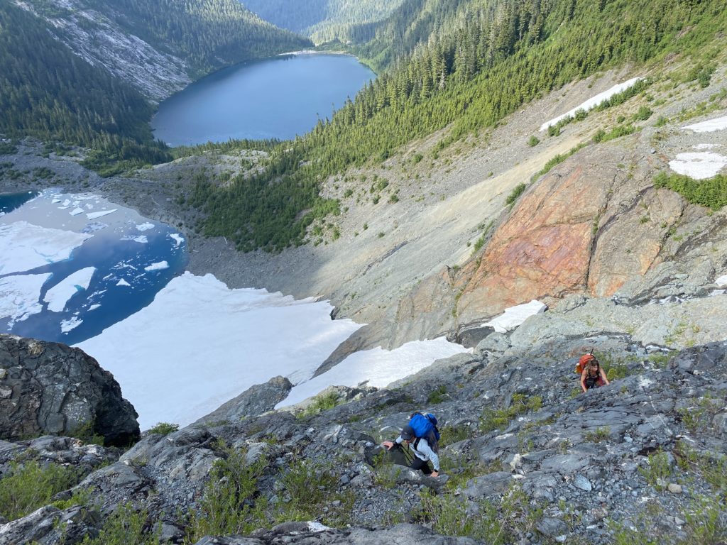
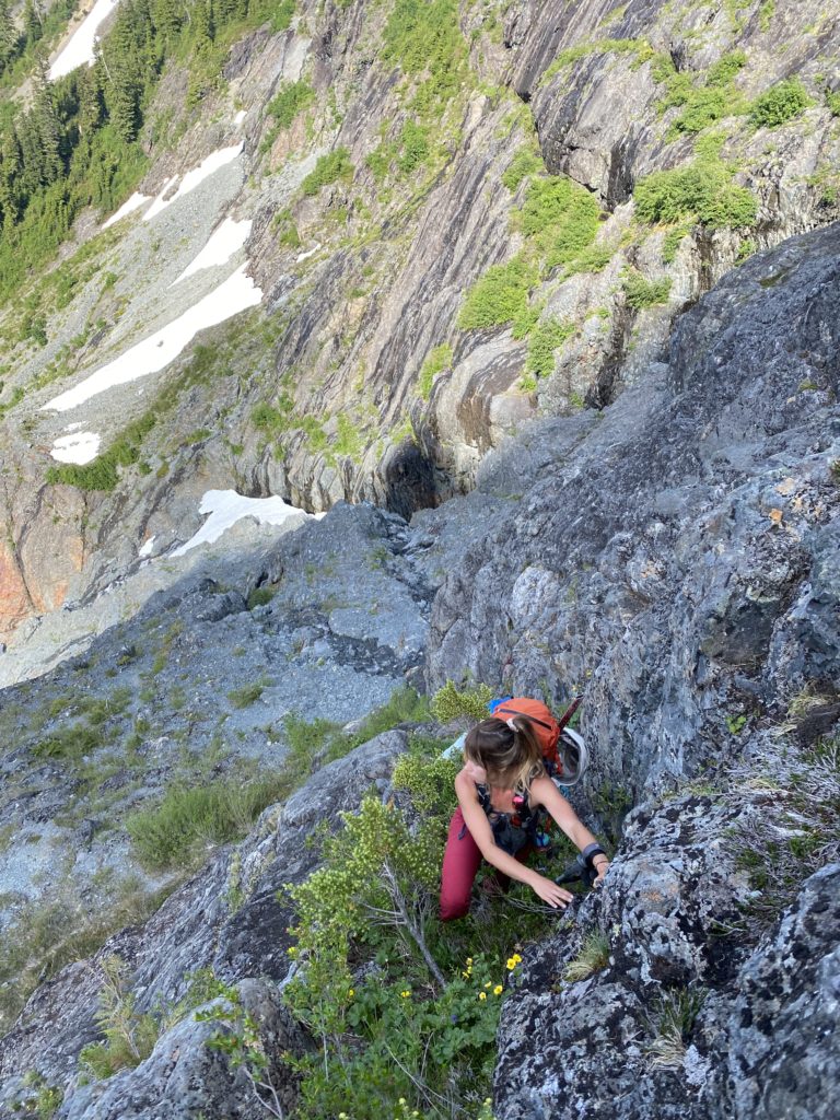
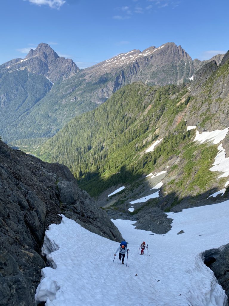
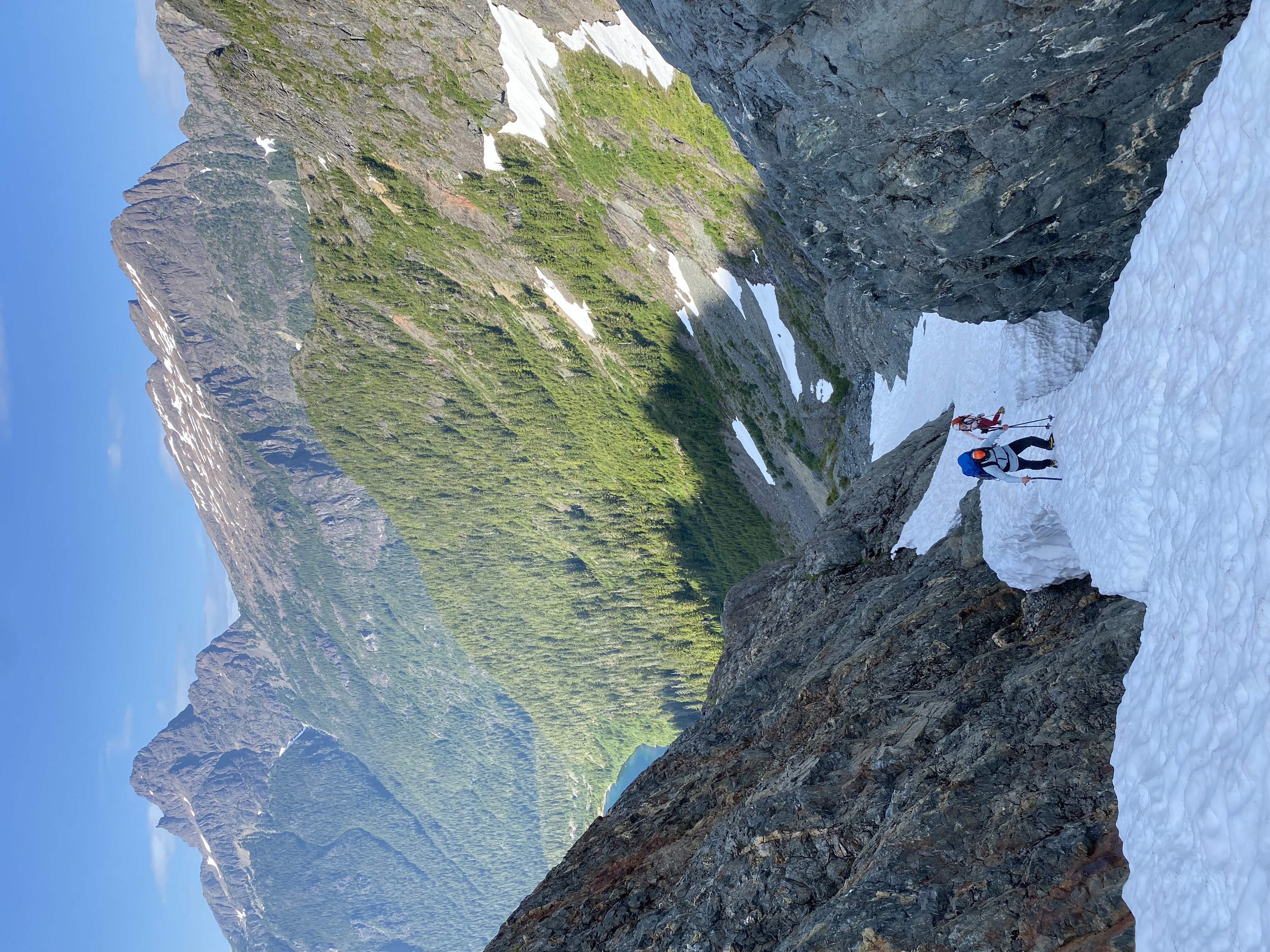
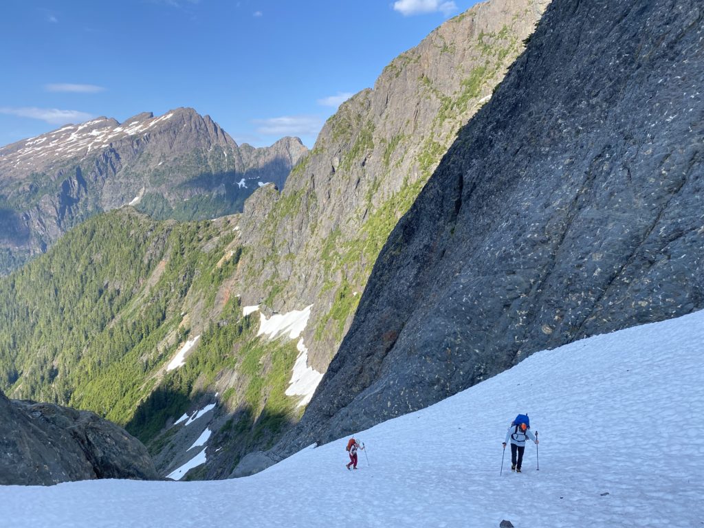
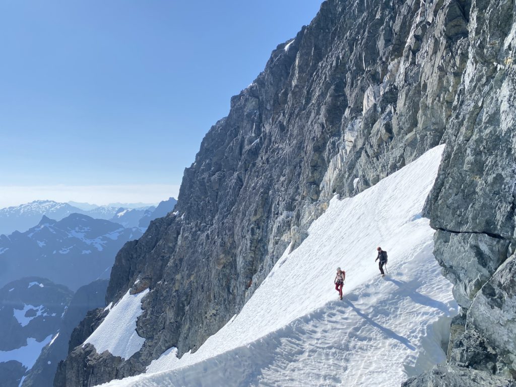
We donned cramp ons and again Steven lead the charge. The snow bridge/finger had an opening crack on the right side but it was easily avoided and we ascended without issue. From there it’s just a long 250m snow ascent to the top. At long last we reached the col! About 7 hours from the car. I was exhausted, but we had made great time and could now spend the evening relaxing. Well… partially. There was no shortage of mosquitoes on the col, but for some reason they bothered me less than usual and I just focused on the amazing scenery around.
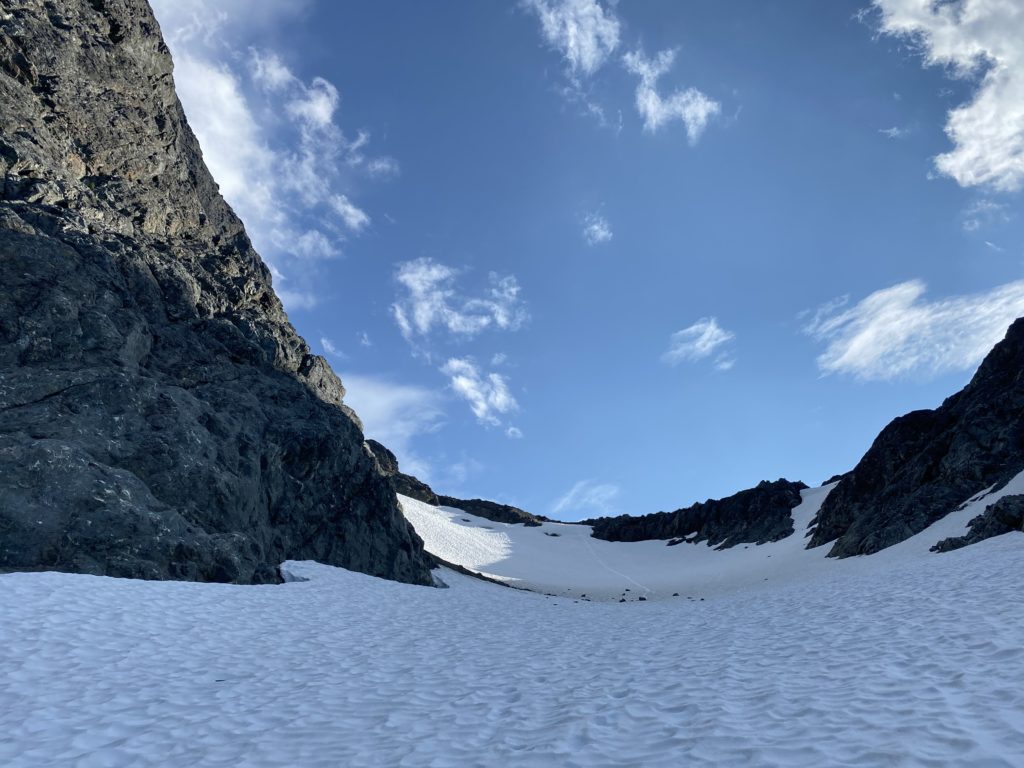
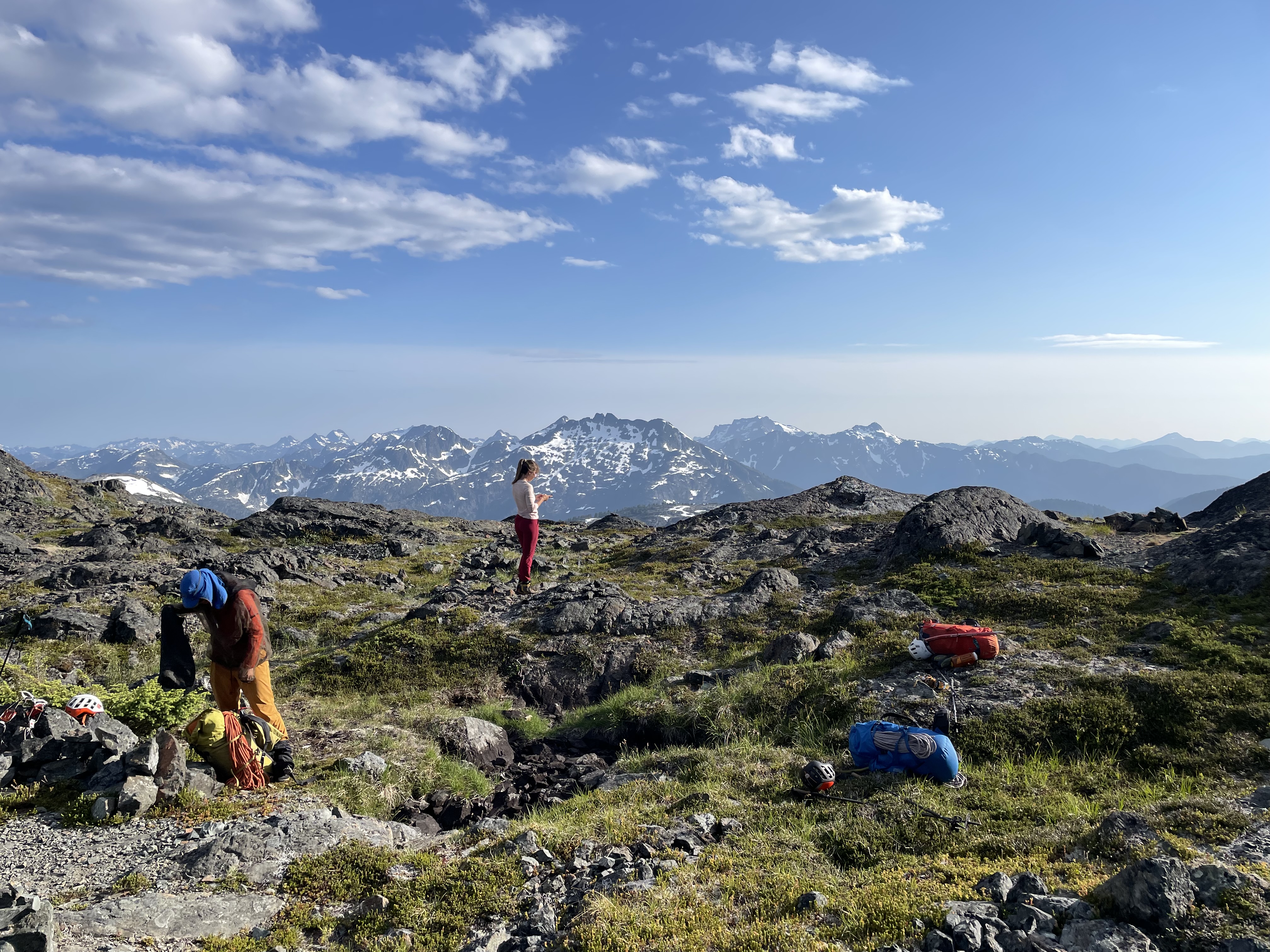
After some well earned dinner we still had an hour or so to kill before sunset. That’s when Steven tossed out the idea of doing a quick ascent up Slocomb’s Rise, a summit that rises just over 100m from the south end of the south col. I couldn’t resist the temptation, if only to get better views of our route tomorrow and so we all gathered up for one more time.
Once we returned I settled in for a night of deep sleep under a tranquil summer night sky. I awoke around 5am to Steven informing me we had overslept a bit and needed to get going. It seems we all forgot to set alarms, but thankfully Steven had caught glimpse of the sun and knew we had start moving. I packed up my alpine bag for the day, ate some dry granola and was ready to go.
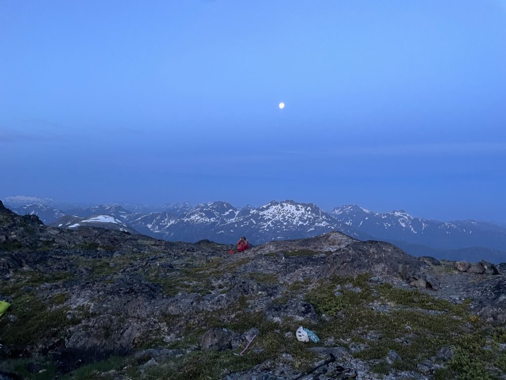
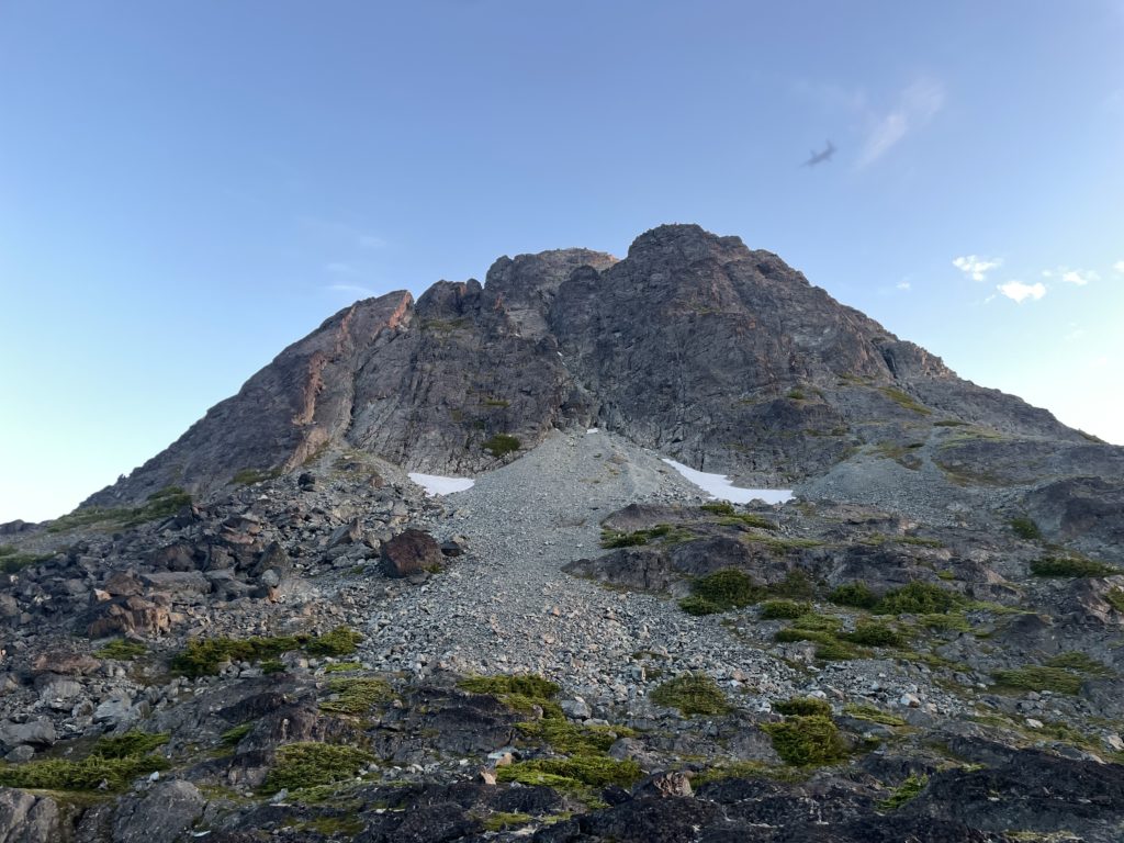
We started up the lower scree slopes of the Southeast peak and then entered into the middle gully system climbing up 3rd and 4th class terrain with mostly good rock. A few challenging steps had to be overcome, but it was overall an easy scramble. About 1 hour after we started we had reached the summit of the Southeast Peak. From here we could see the true summit a long ways off and lots of interesting ridge line in between us and the top.
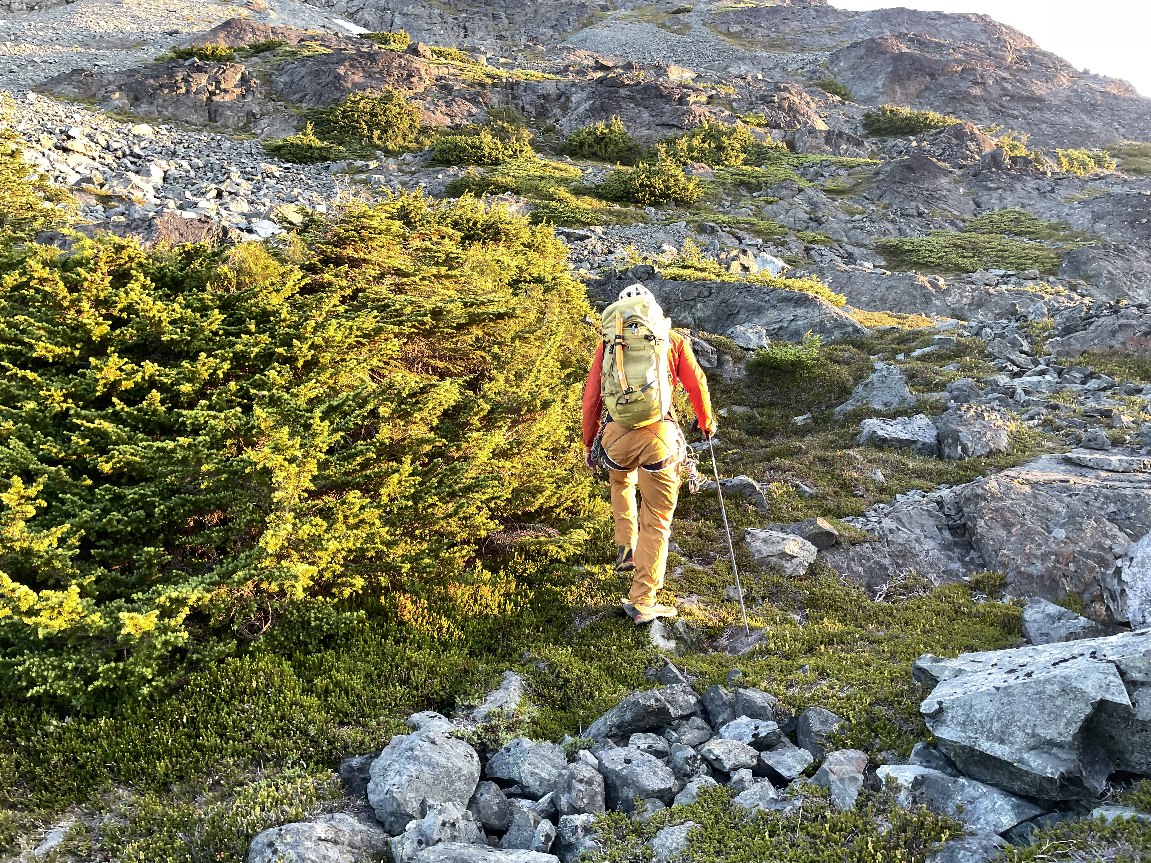
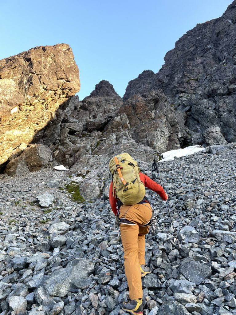
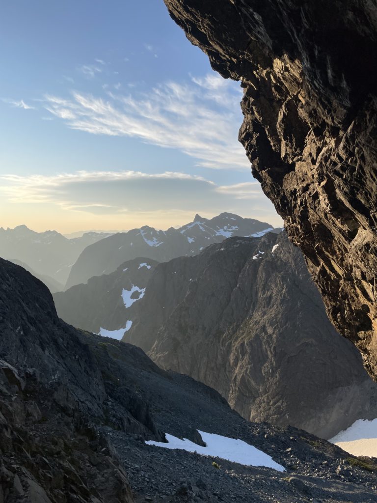
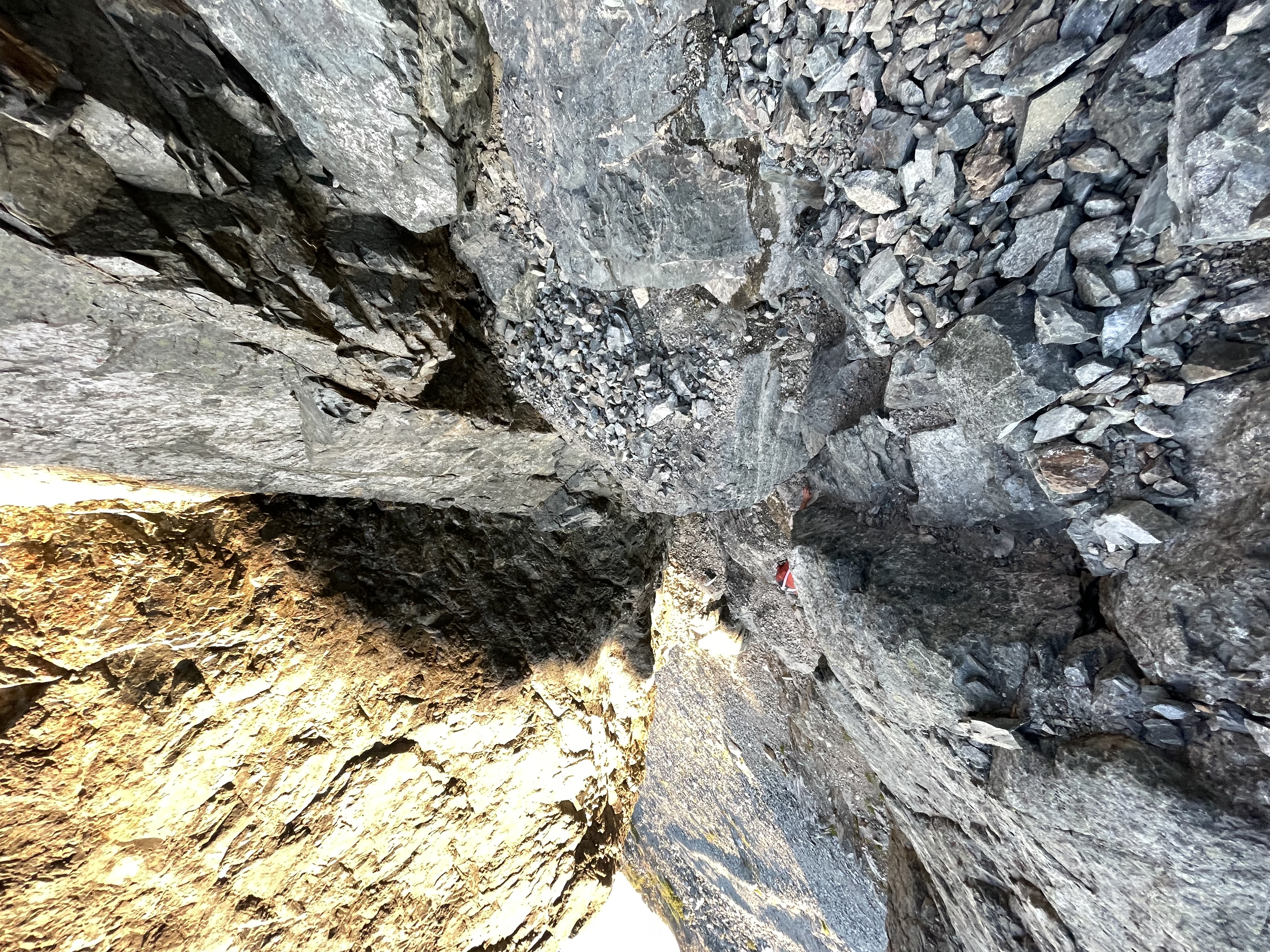
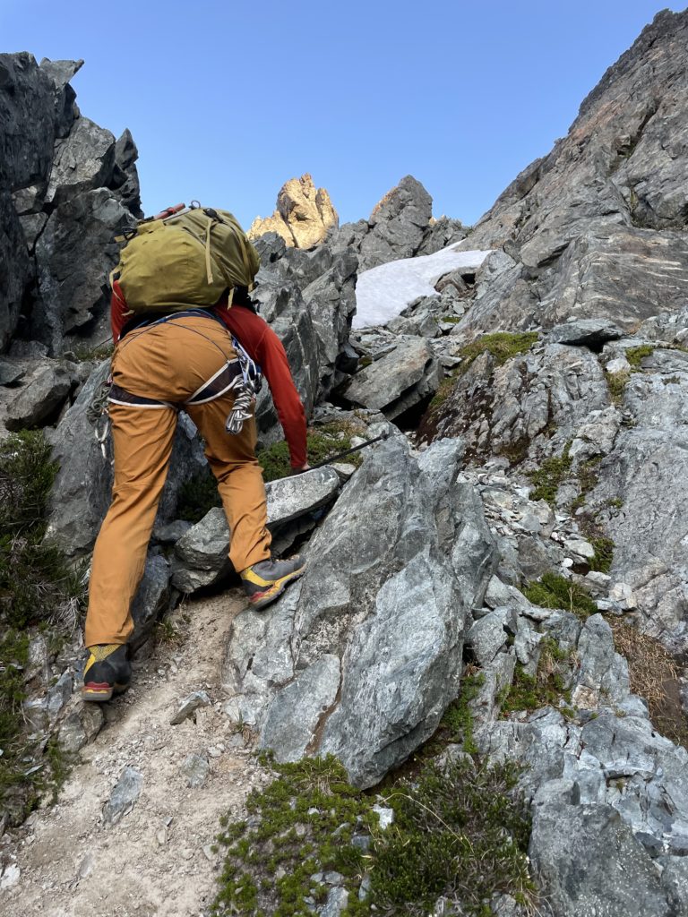
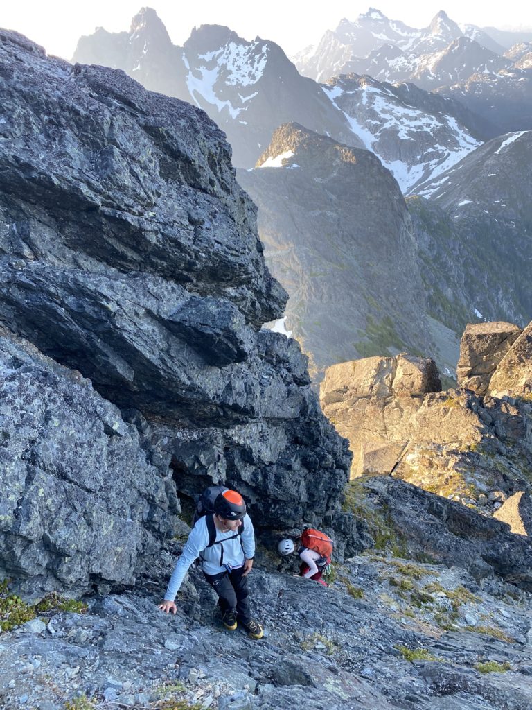
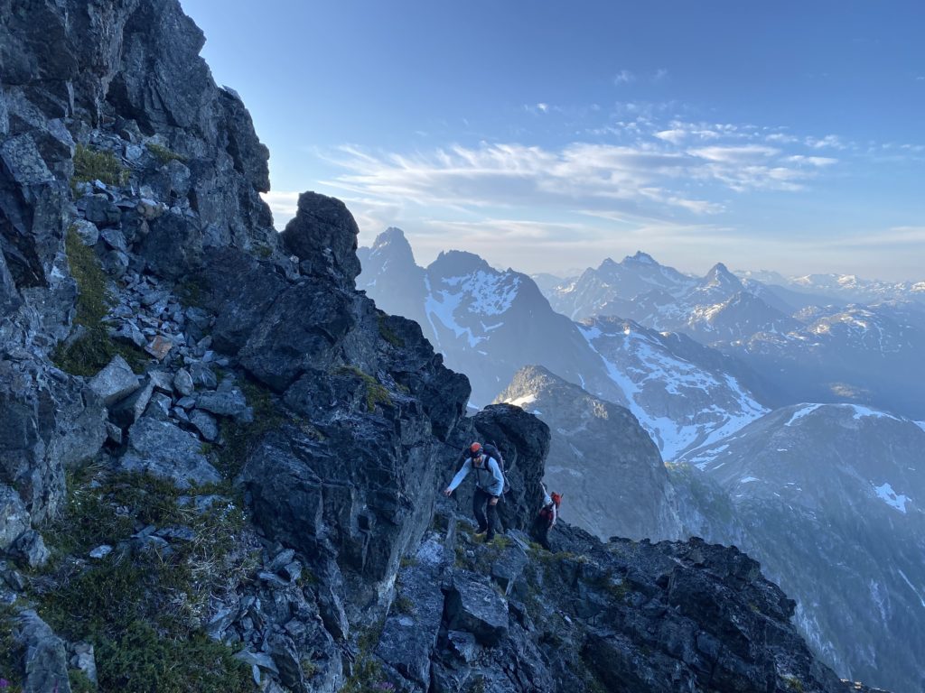
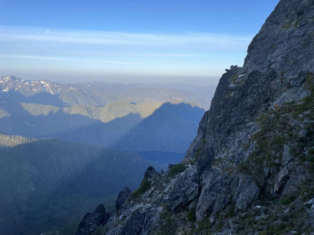
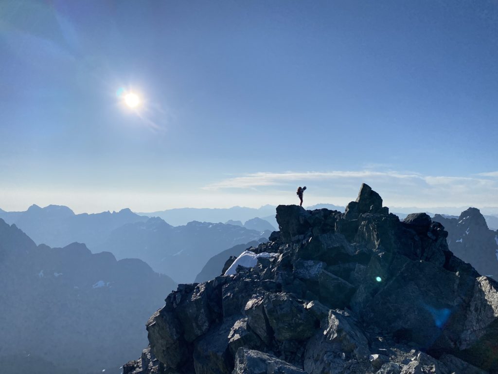
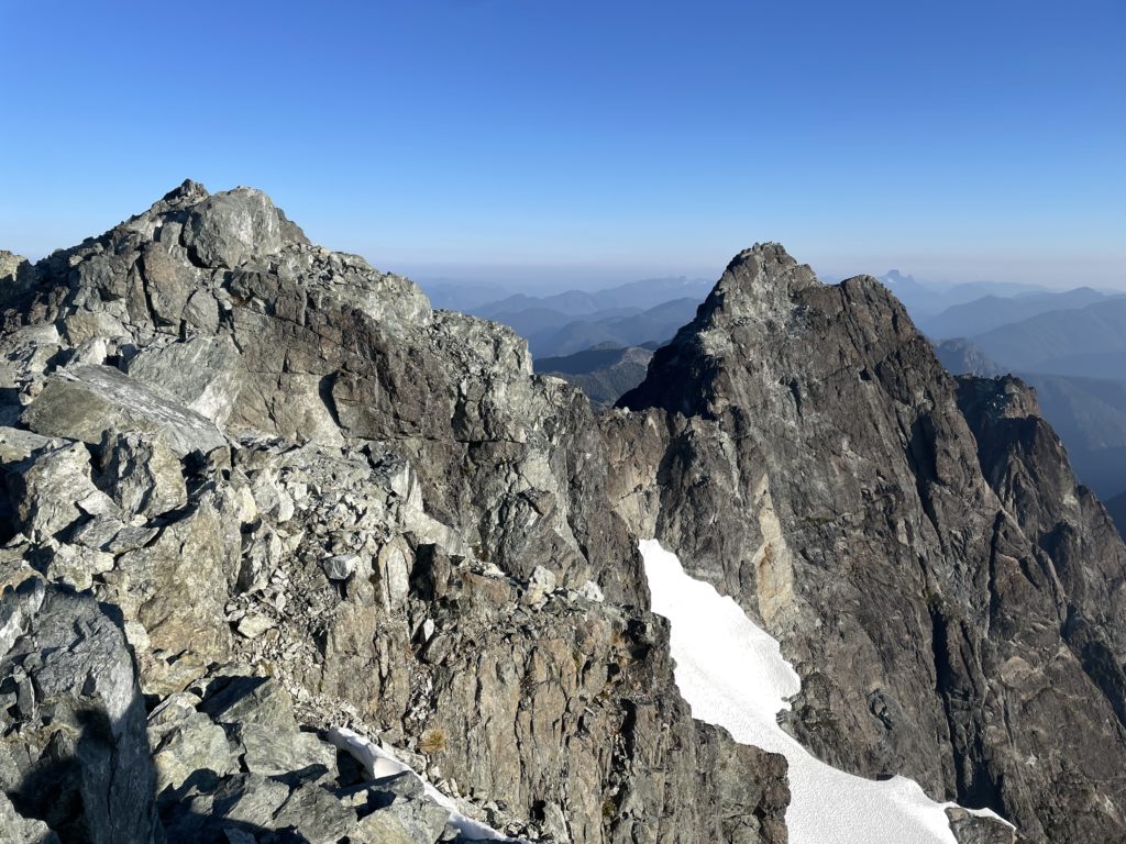
From the southeast summit we scrambled along the ridge towards the southwest summit until reaching the top of a highly exposed notch. It seemed it could be down climbed, but the exposure was massive with no margin for error. As a result, we chose to use an existing rappel anchor and make a short rappel into the notch. Once we were all down, we had to traverse a short knife edge section with nothing but air on either side. At the end of the knife edge there was another exposed move with some bear hugging around a large boulder to gain the other side of the notch.
Now we were faced with two choices. An exposed traverse on loose rock into a steep gully or climbing better, but steeper rock to exit the notch. Steven chose the steeper section, but wisely chose to get a belay here. He did a quick lead up the 15m pitch on 5.5/5.6 climbing and then belayed both Elise and I up. The exposure here was phenomenal and the rock was solid with lots of great holds.
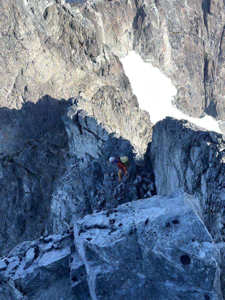
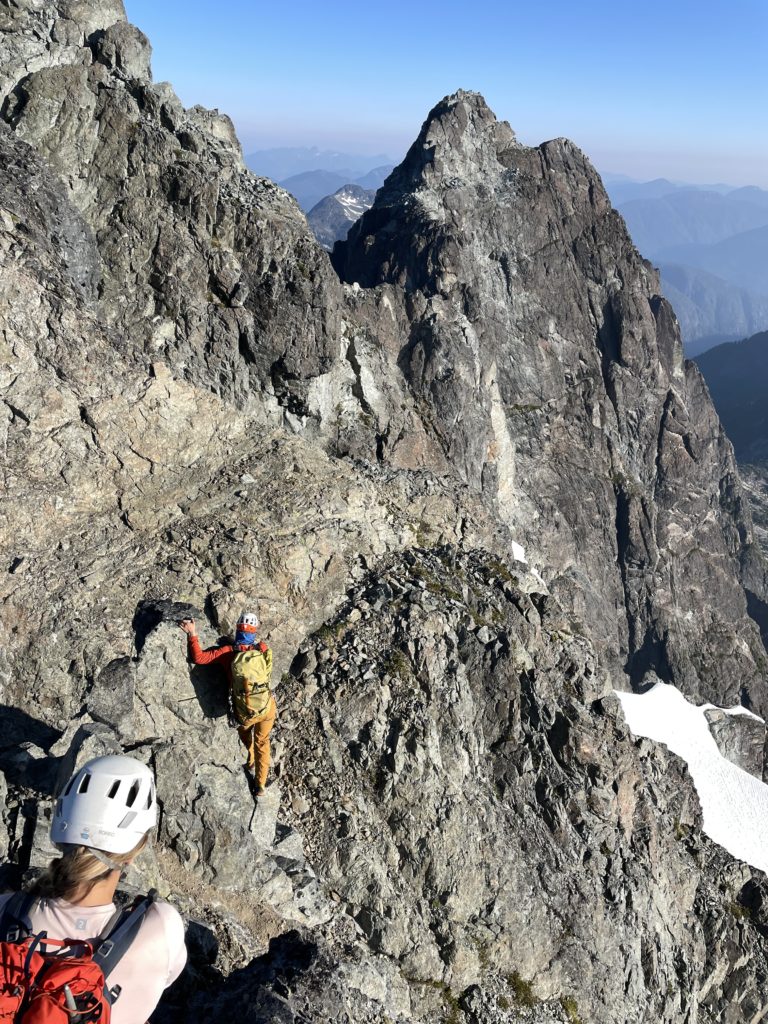
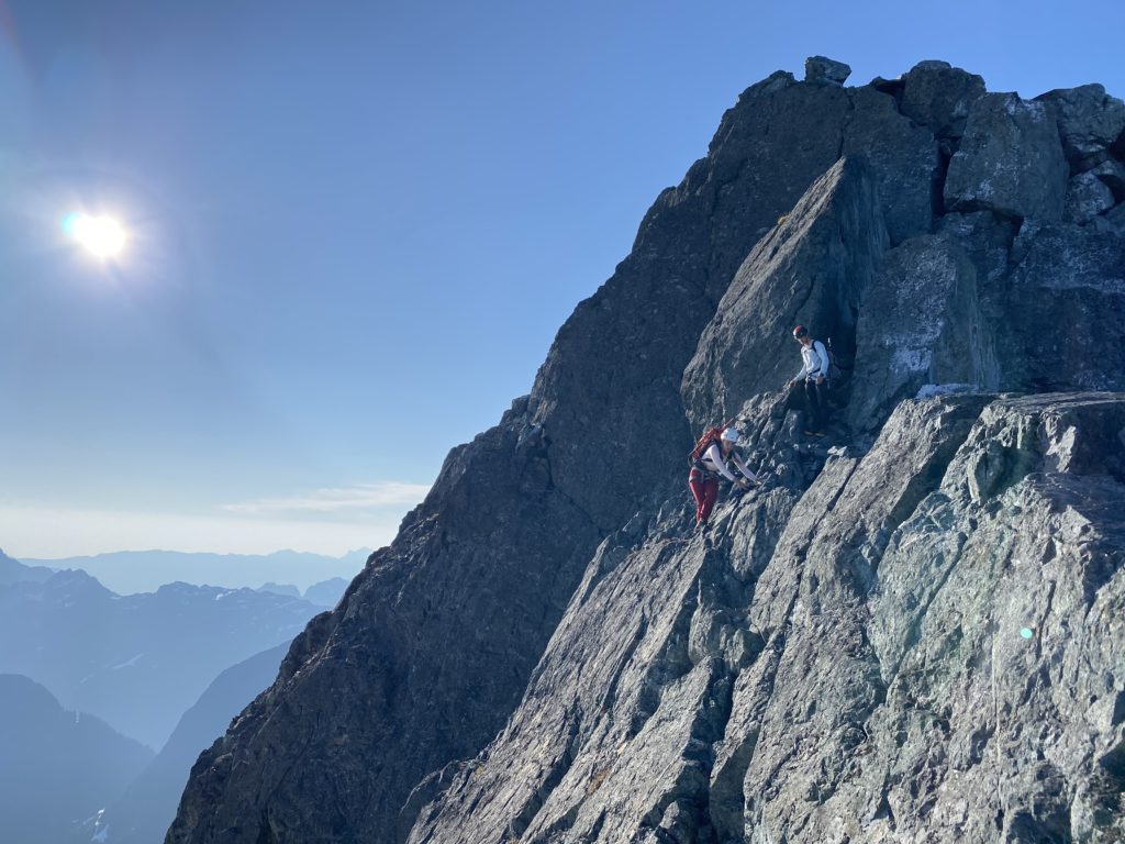
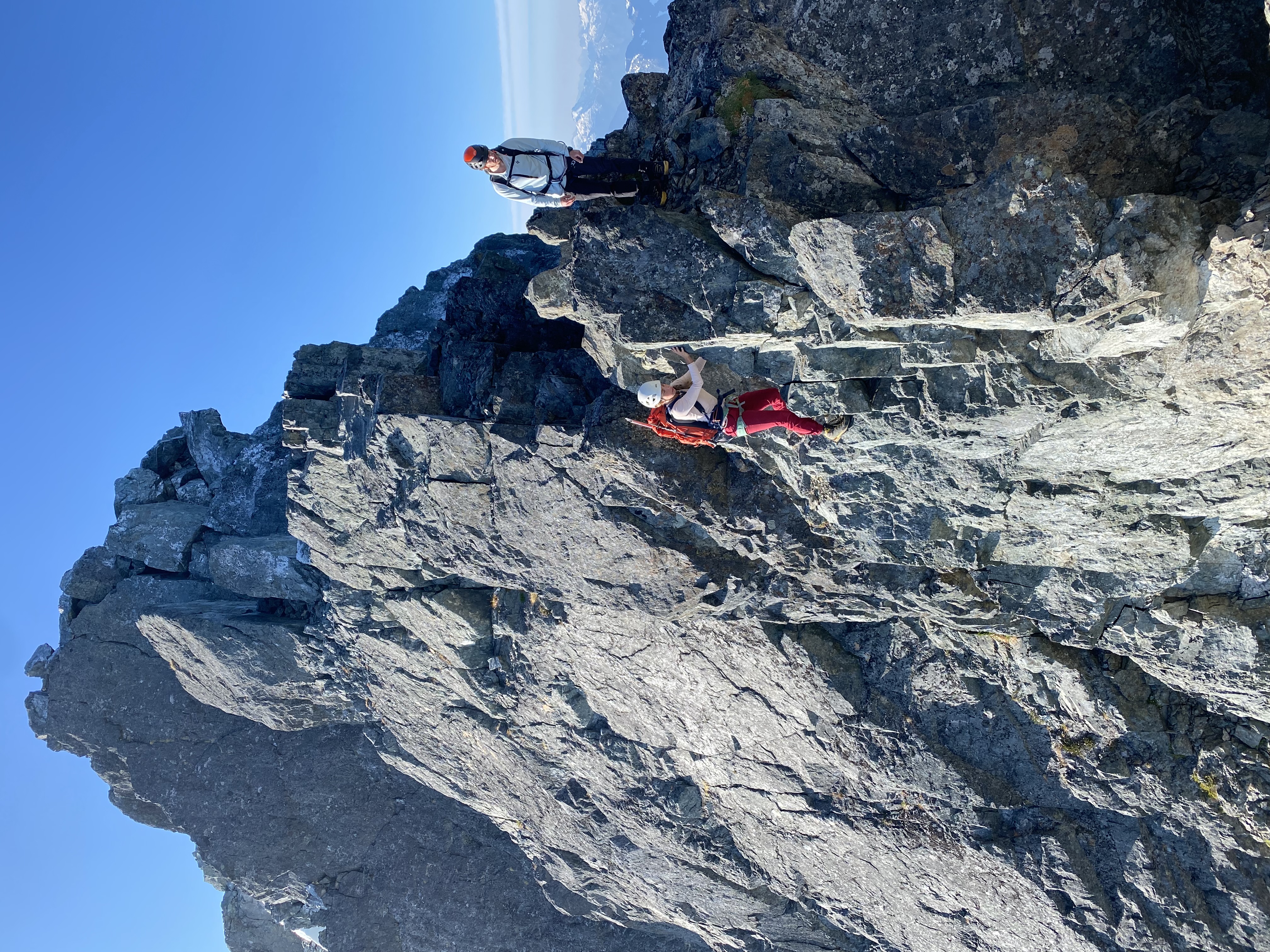
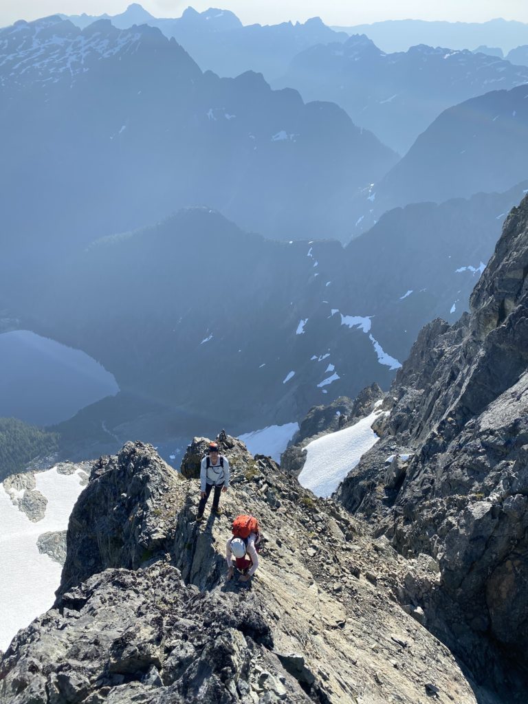
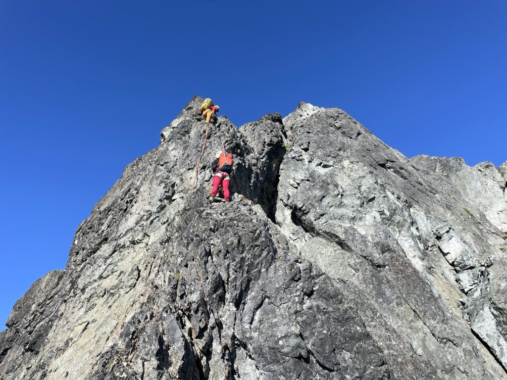
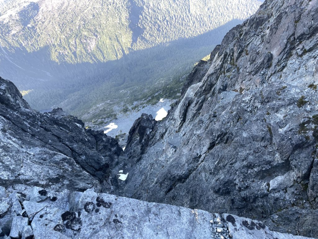
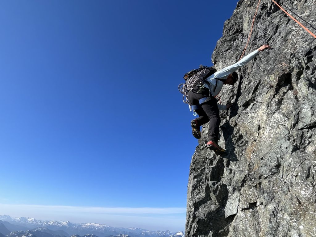
We continued our traverse along this second summit and then dropped down on the north side. Here we found lots of exposed and somewhat strenuous down climbing to reach the first of two rappel anchors to reach the glacier. The crux was a short slab section which was a little more challenging in mountaineering boots, but positive holds eased the grade. A bit more careful scrambling on loose ledges netted us the rappel station at last. Steven lead the rappels and we reached the glacier without too much issue.
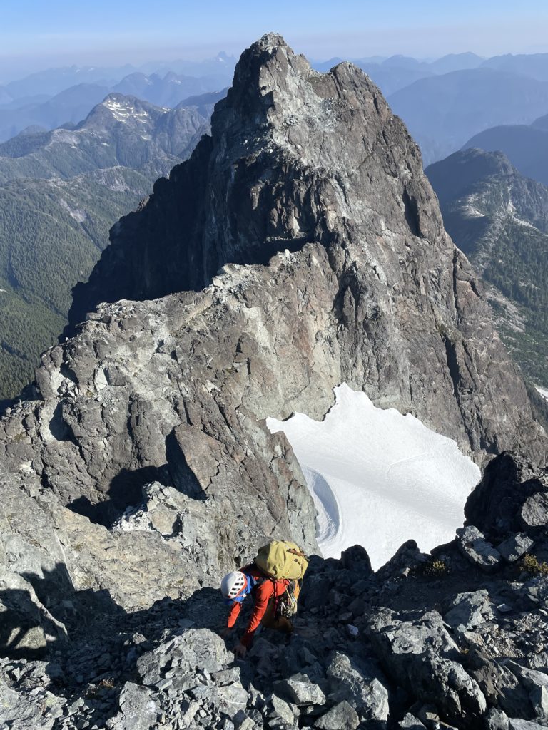
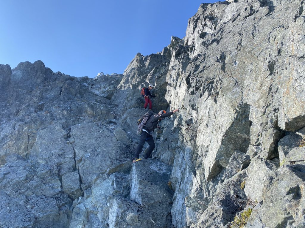
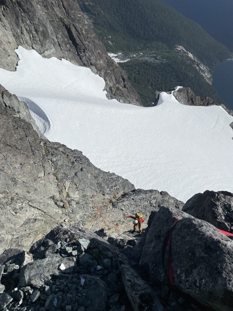
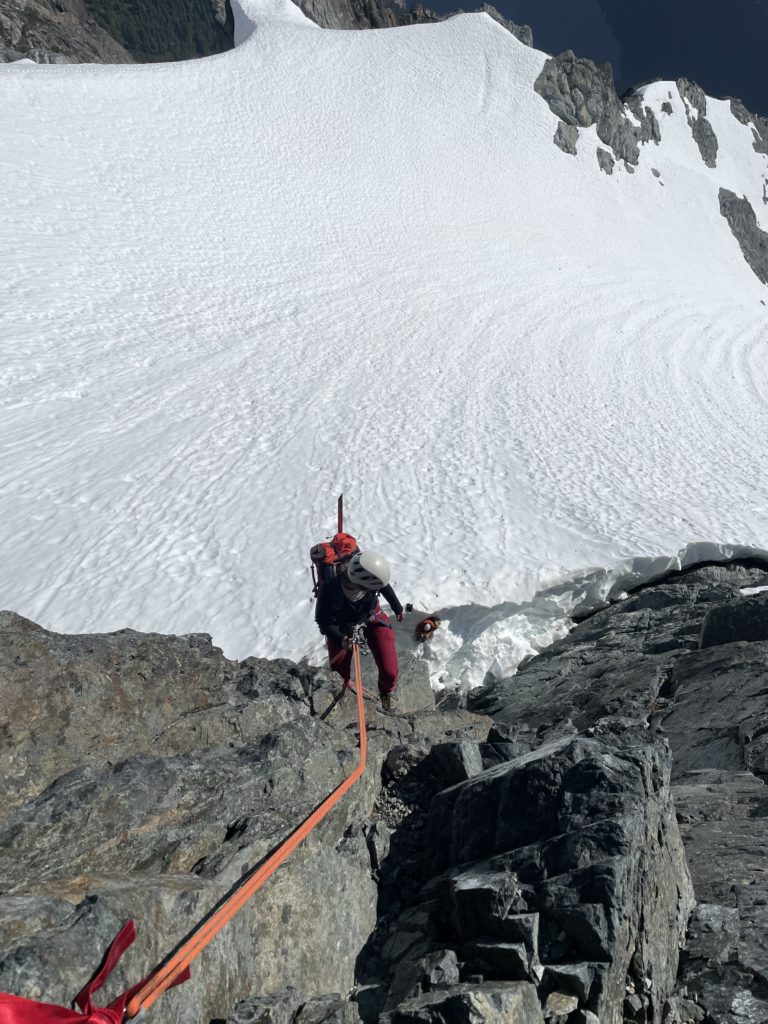
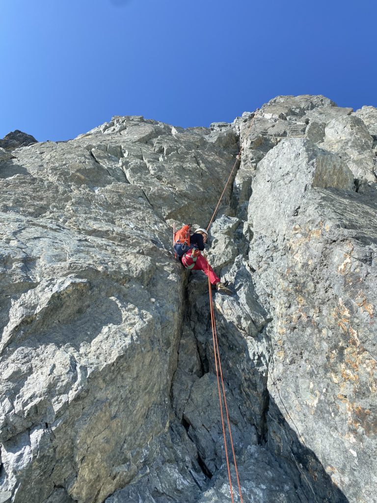
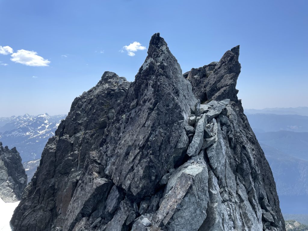
There was a short section of steep snow to face-in traverse on and then we simply walked around to the north end around a feature called the “Corporal Gendarme”. Here we took a long break to melt snow and recuperate before the most challenging sections ahead. After a nice snack break, we ditched all the heavy snow gear and started the climb up the ridge on mostly low 5th and 4th class terrain. Once on the ridge we scrambled on a continuously narrowing path until we were once again doing a short section of knife edge climbing complete with an au cheval maneuver.
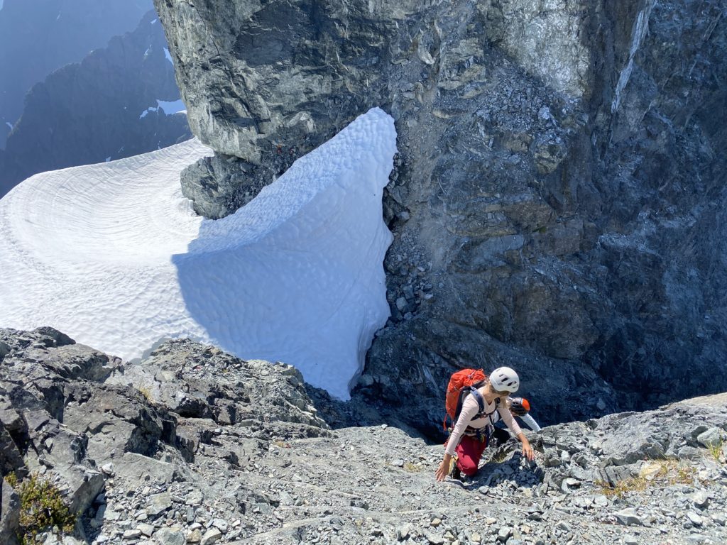
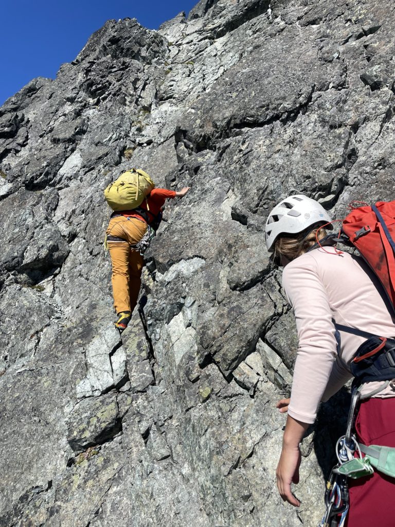
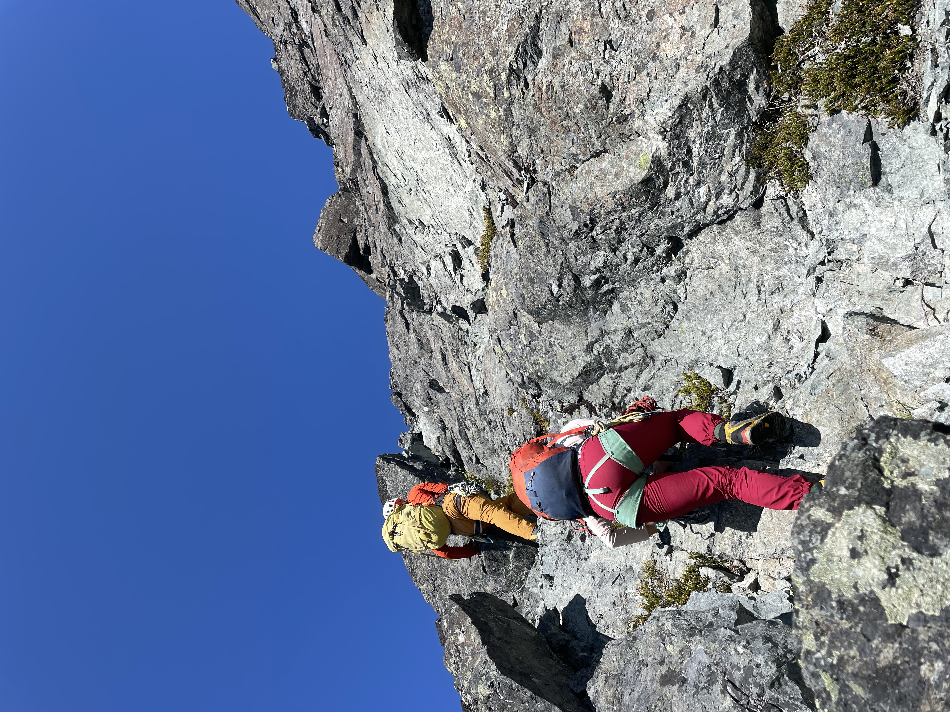
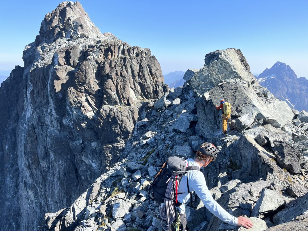

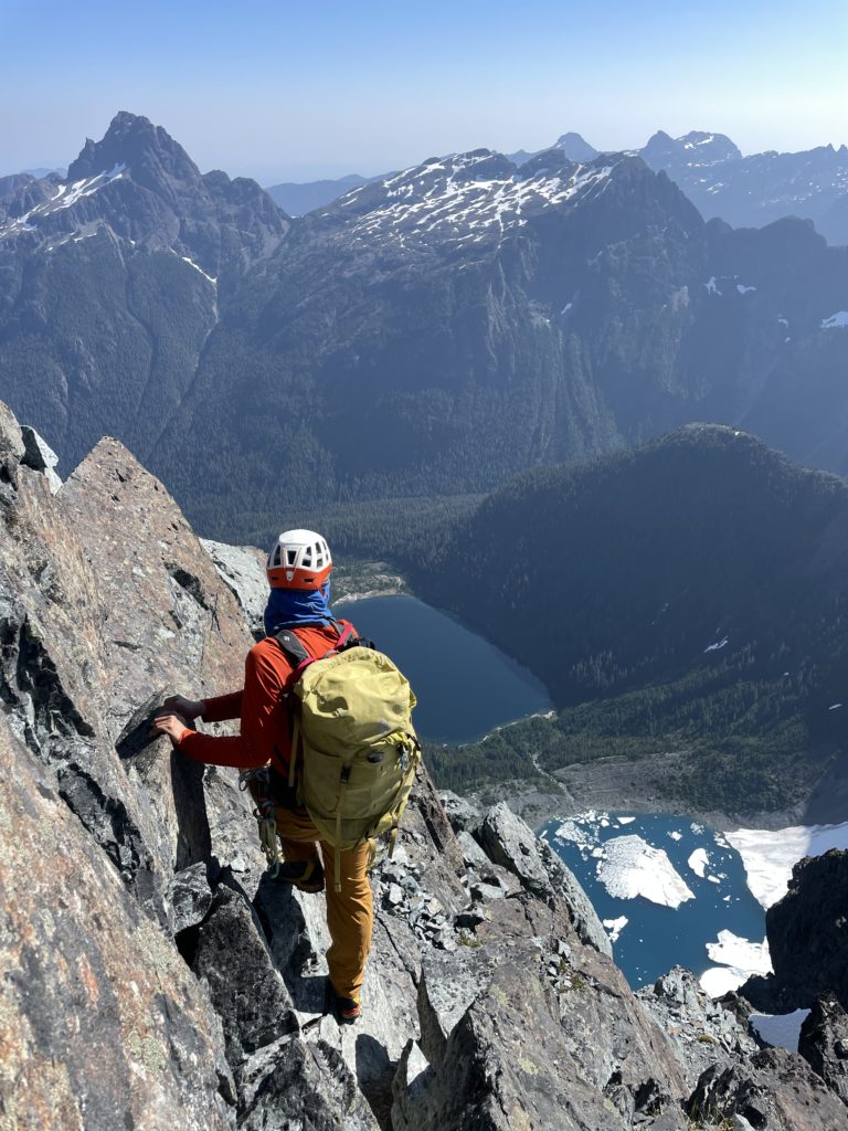
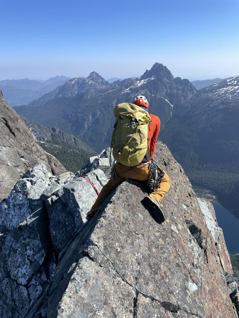
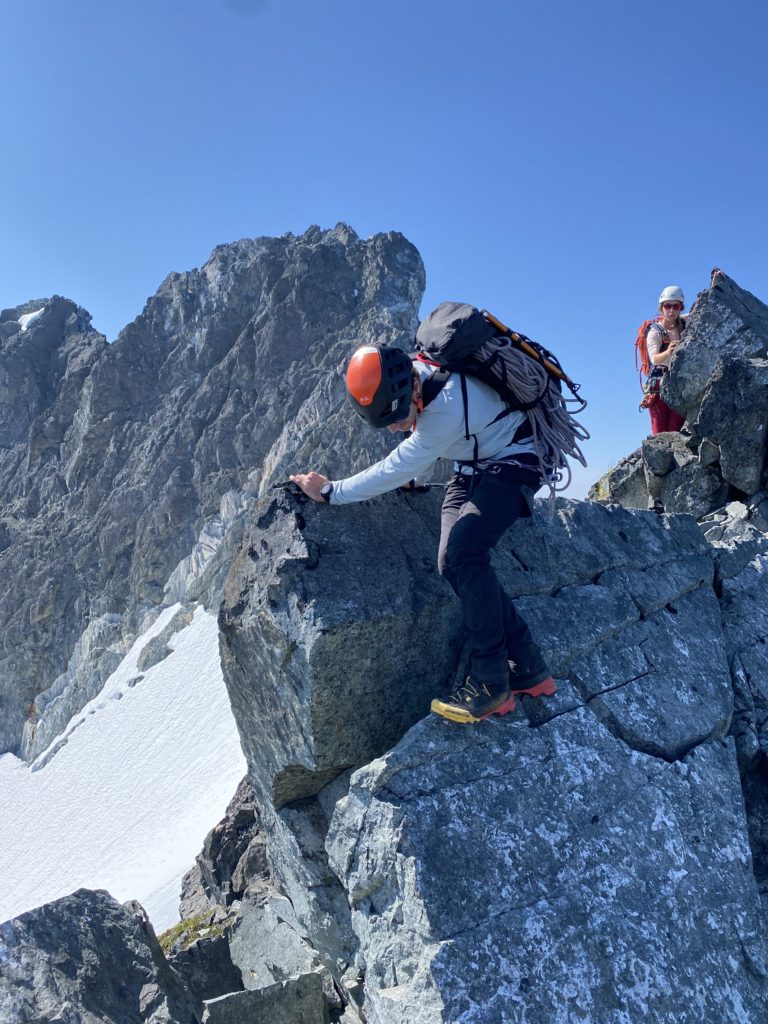
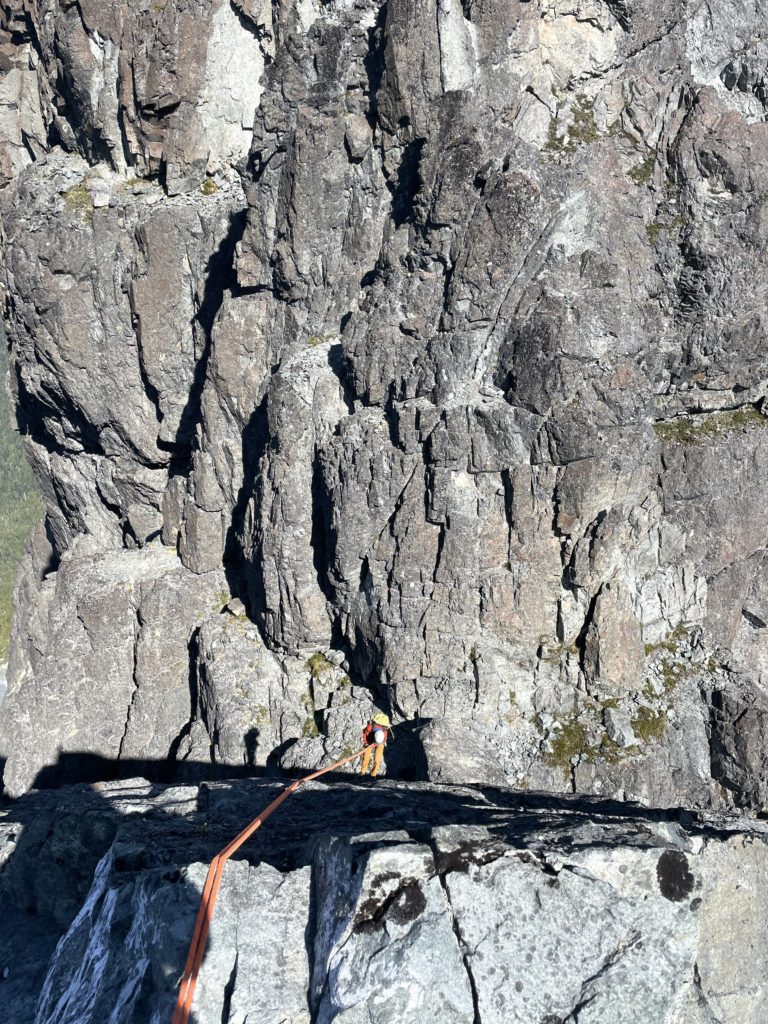
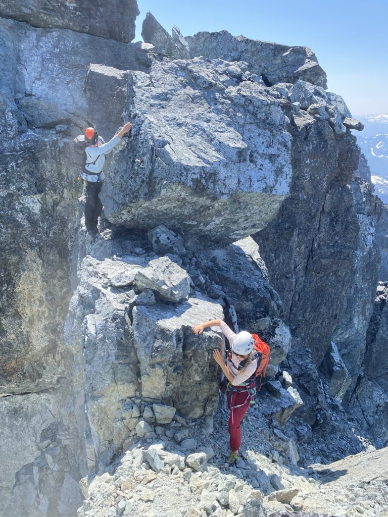
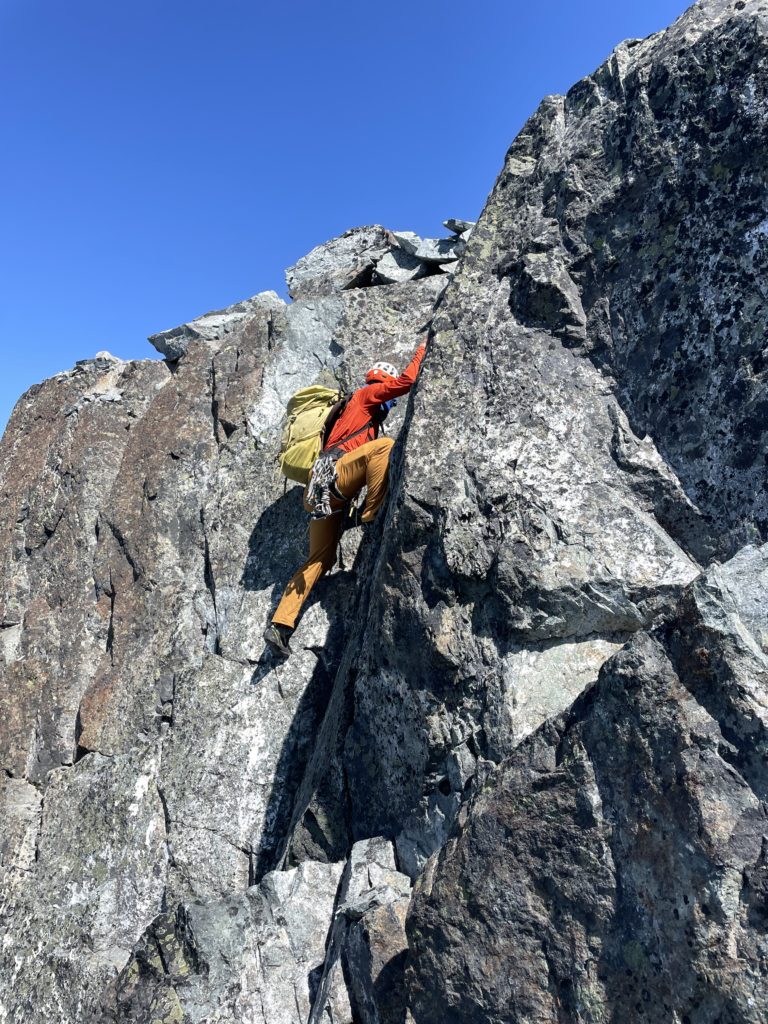
This landed us at the top of a 5.8 slab that must be rappelled. Our plan was to leave one of the ropes behind as a fixed line for the return. All three of us rappelled down and then we entered, what was in my opinion the crux of the route. From the slab we soloed up 15m of exposed low 5th class climbing and then had to make an exceptionally exposed traverse around the east side of a steep pinnacle guarding the ridge. Steven lead first and tailed a rope behind in case either Elise or I wanted a belay after. I followed second, but decided to solo this section. The moves were perhaps 5.5 or 5.6 at most and I was thankful to have swapped into climbing shoes after the slab section. I made short down climb and then a committing stem move out and around the pinnacle to regain the ridge. Steven stayed put here to belay Elise, while I down climbed another short exposed step and reached a key ledge on the west side.
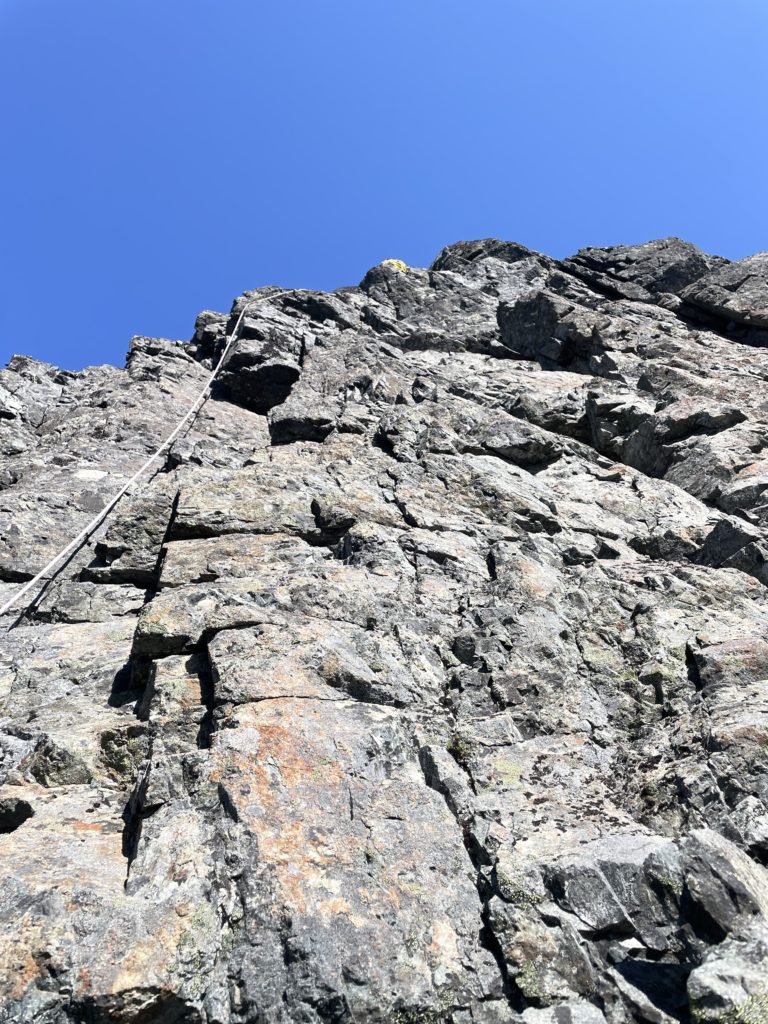
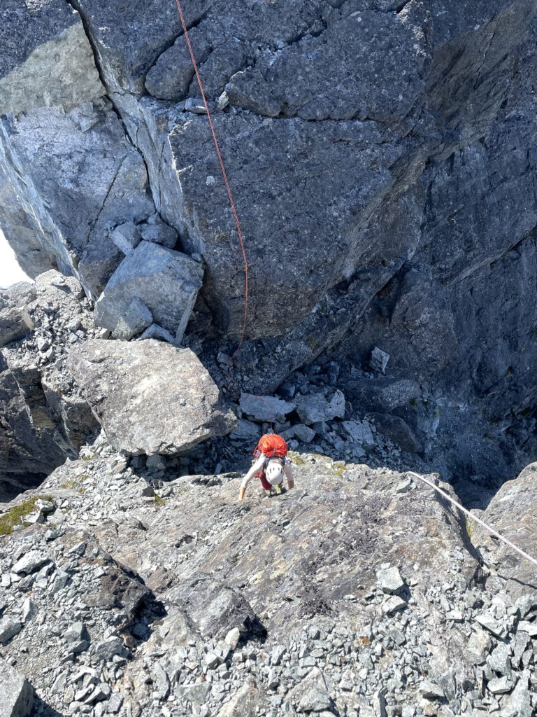
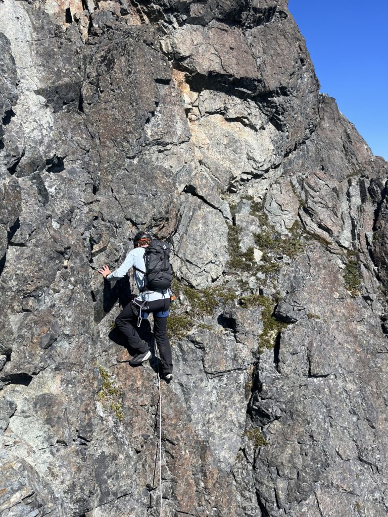
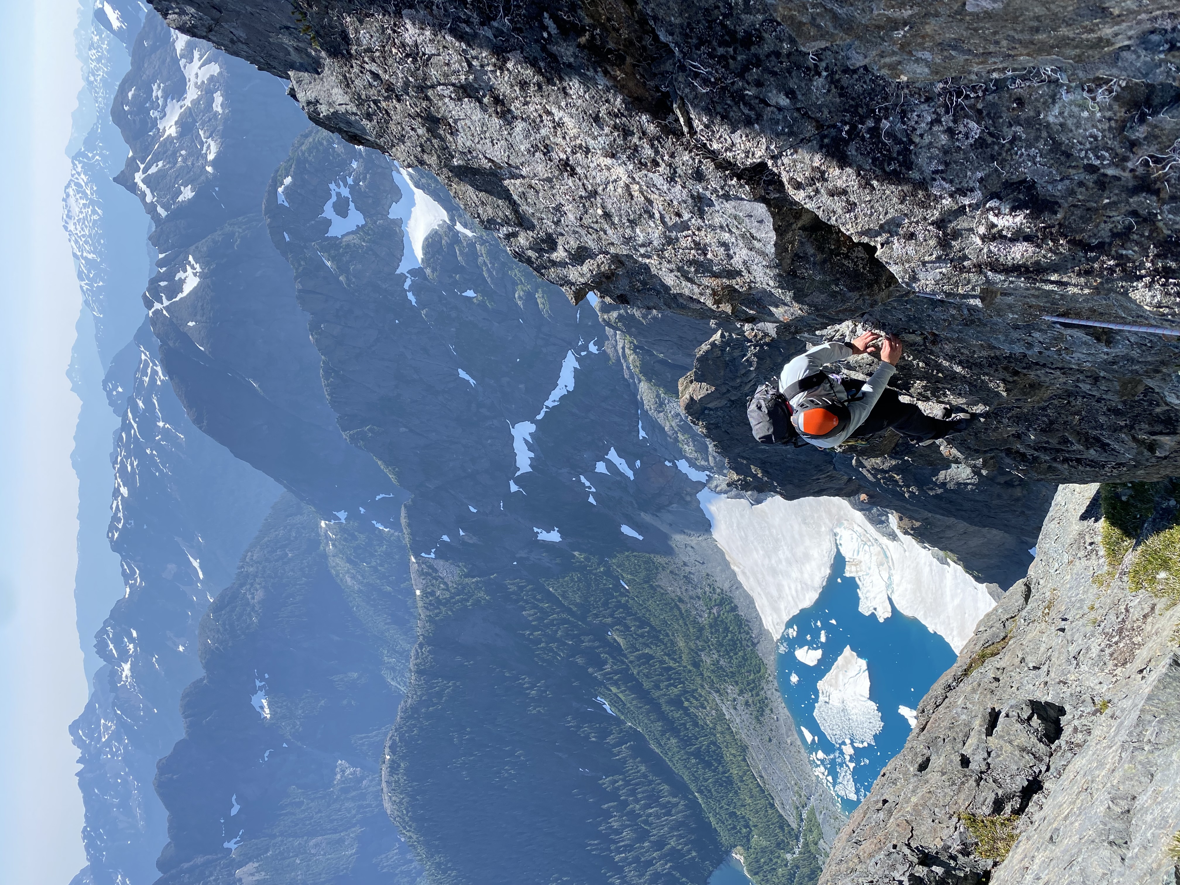
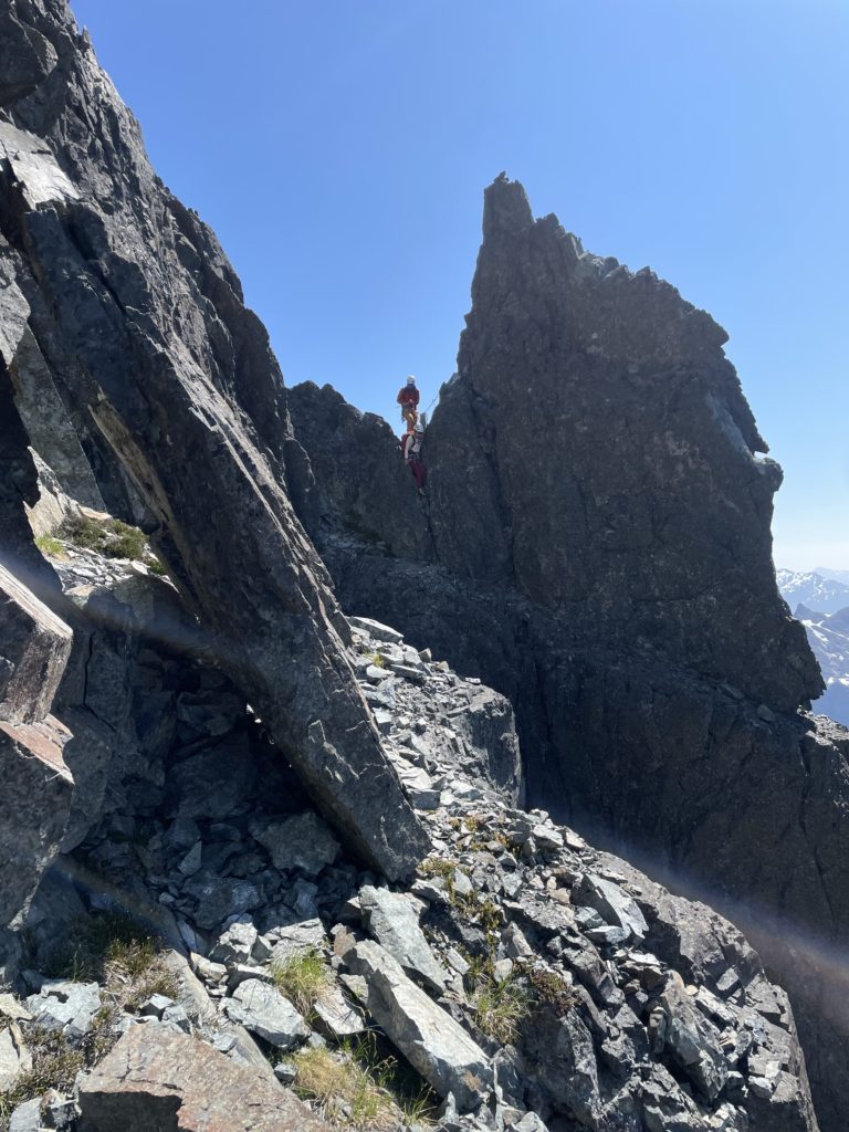
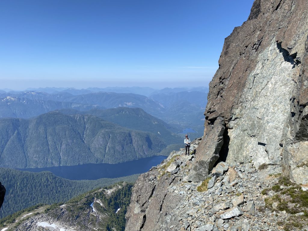
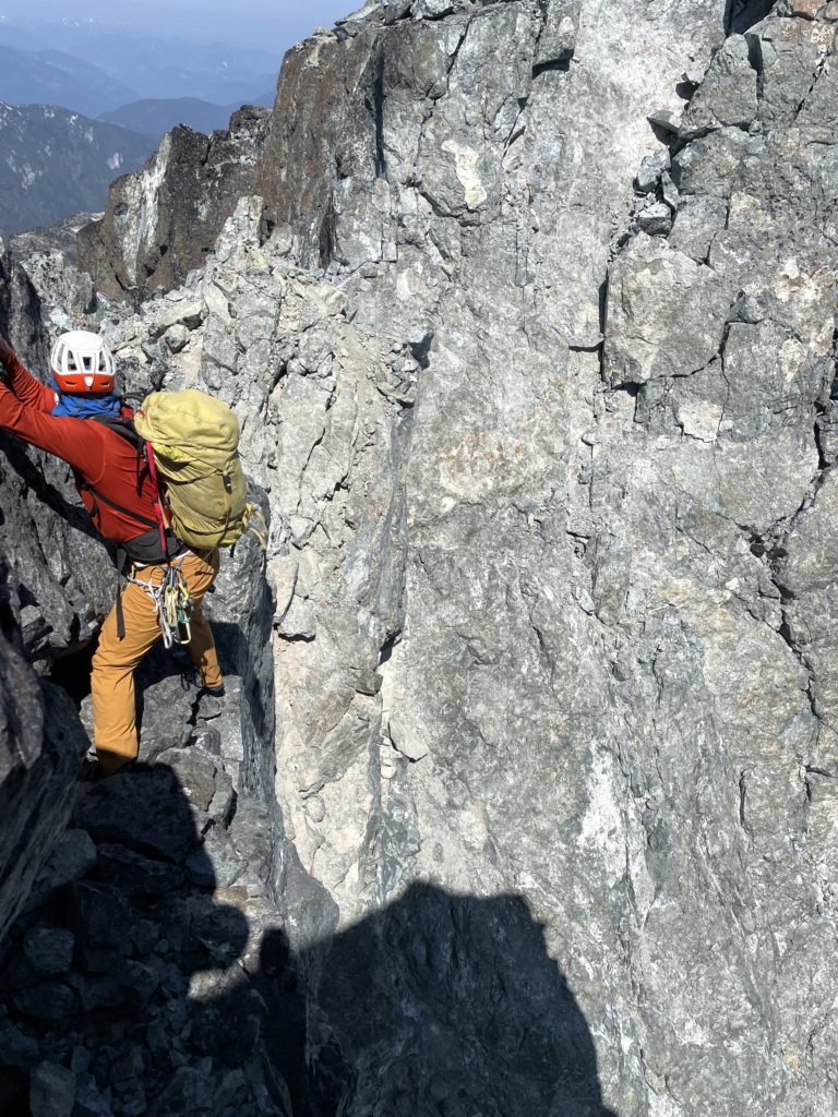
We had read there was a gully that could be reached at the end of the ledge, but involved an airy move where the ledge ended to gain the col. I went around to inspect and found the move didn’t look too bad so we chose to take this line. Steven and Elise caught up and we entered the gully without too much issue. Another set of 5.5 moves with a tricky but fun undercling enabled us to exit the gully and reach the tamer ridge line above.
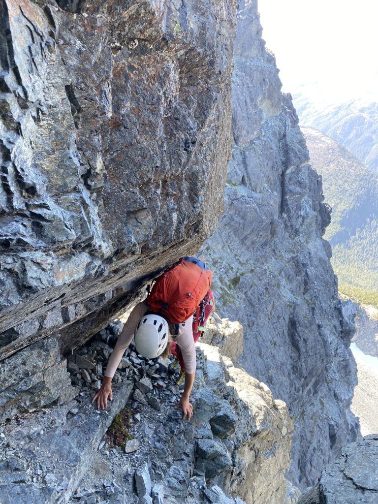
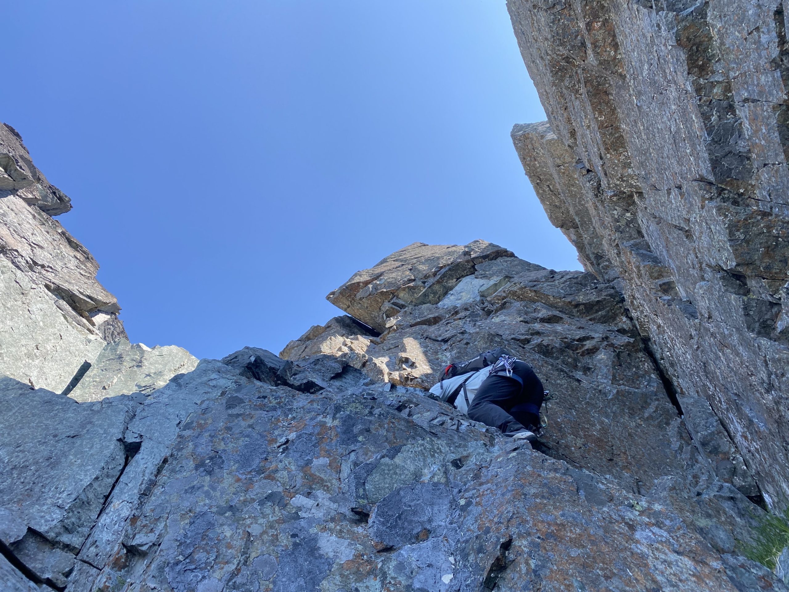
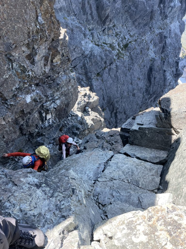
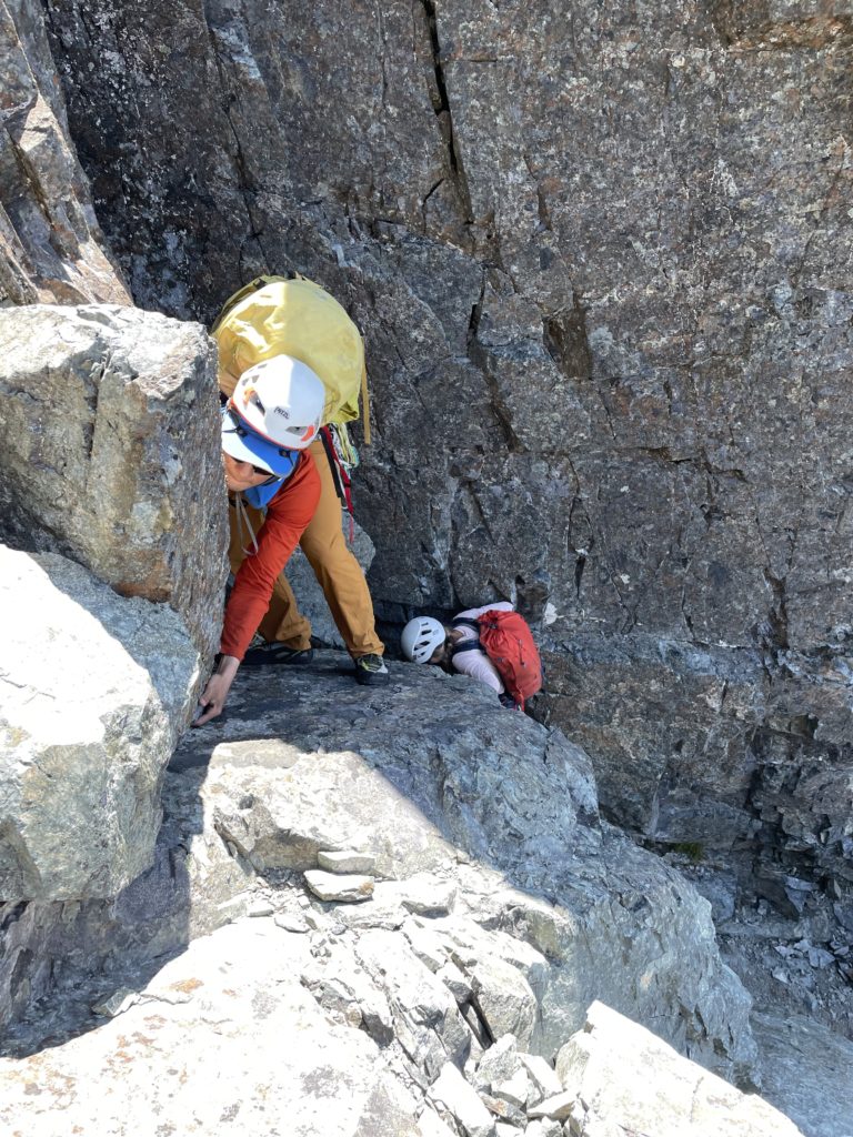
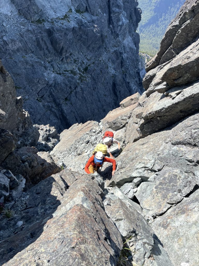
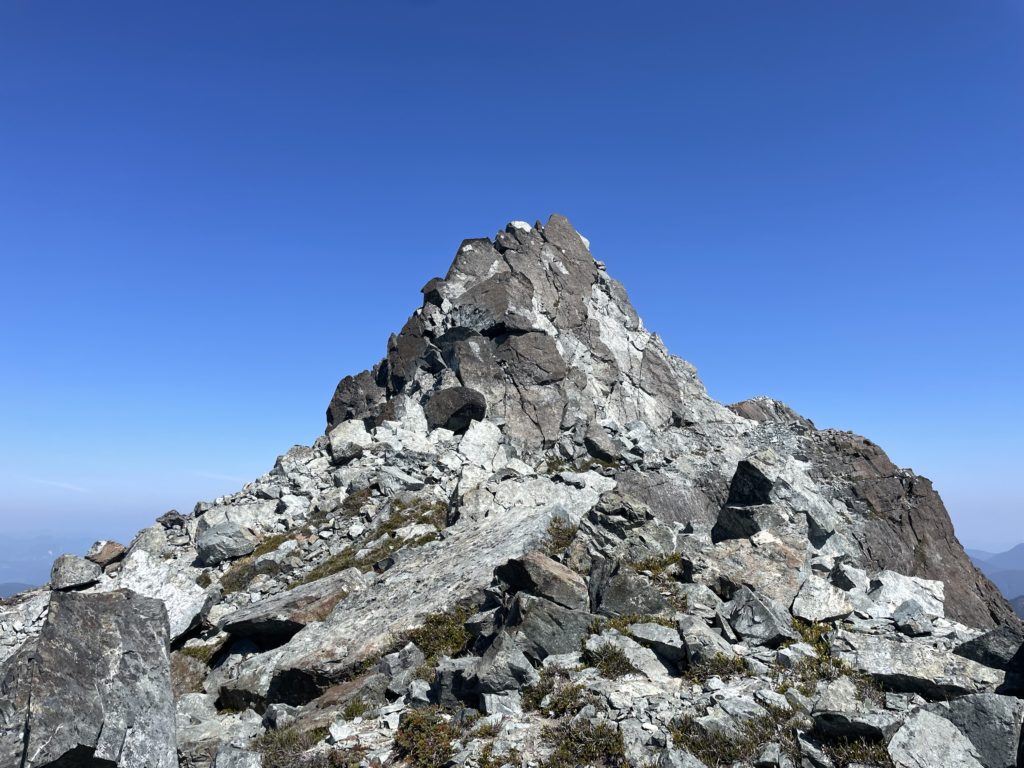
The summit block was clear in sight now and Steven lead us up a ramp towards the summit. It seems we climbed too high early on and had to do more 4th class moves on to the ridge and then another airy traverse around a short gendarme. This took us in to a 5th class dihedral with nice hand cracks. We soloed this short section and then made the easy remaining scramble up to the summit!
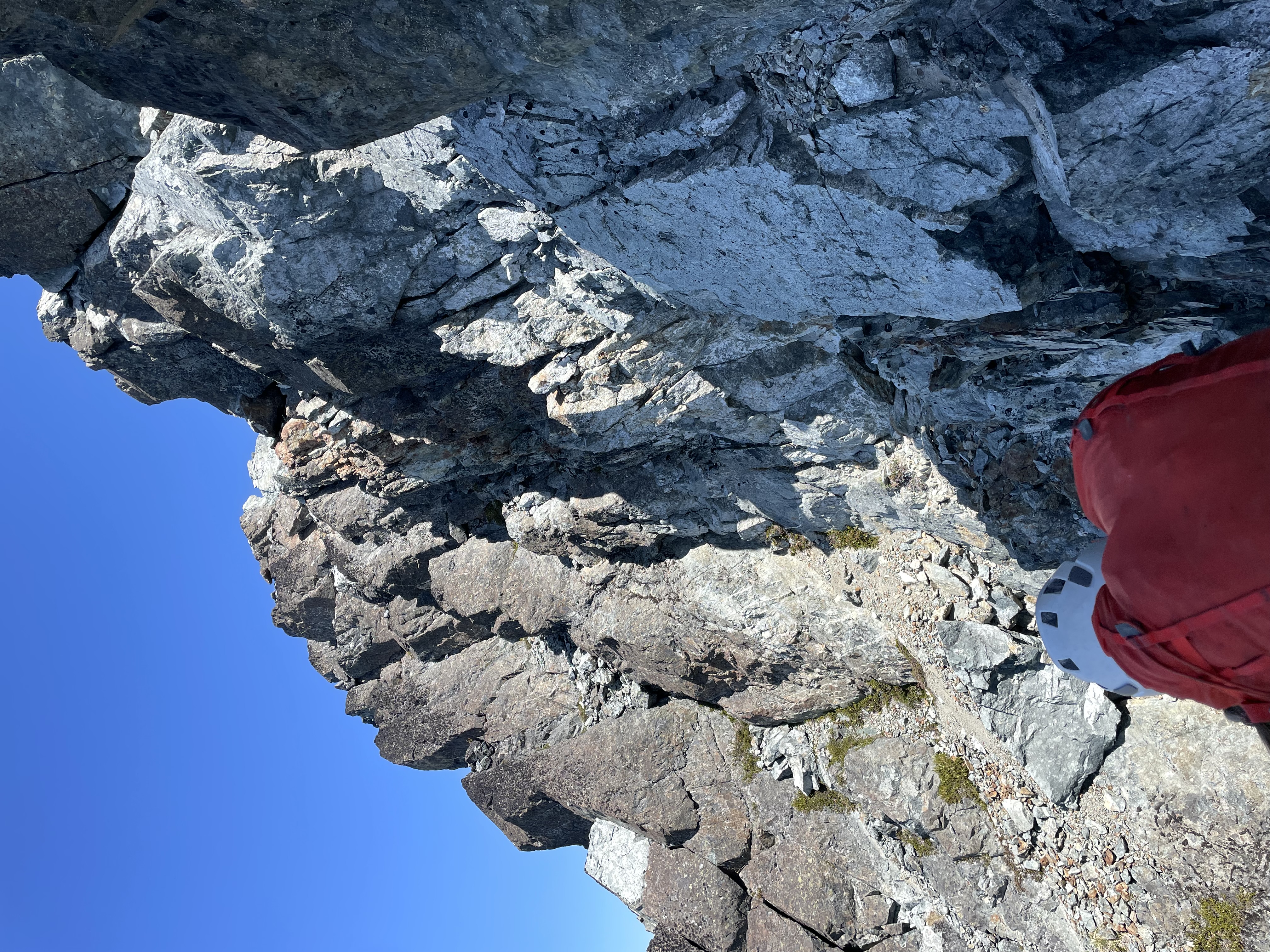
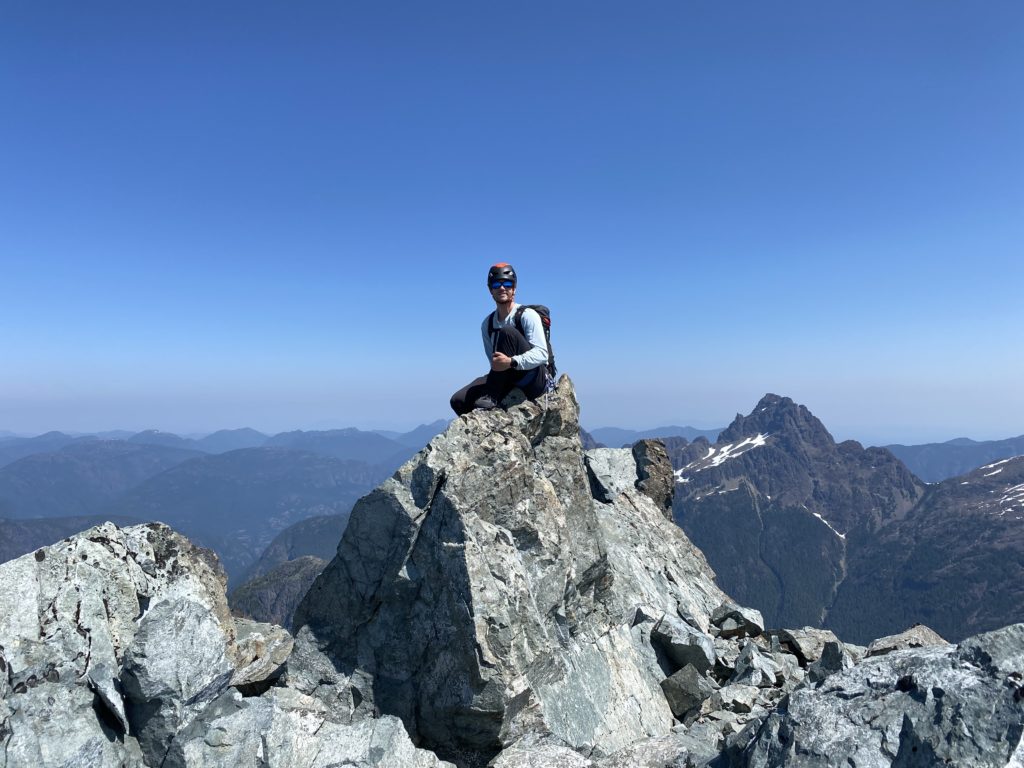
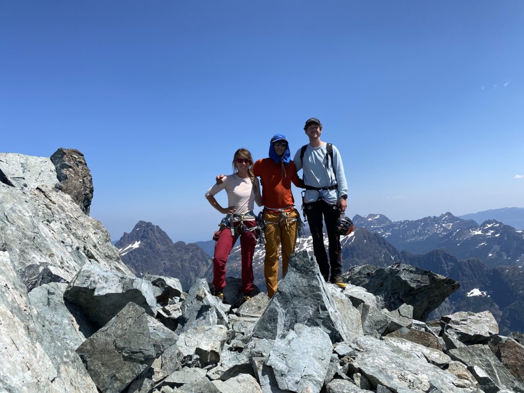
Now we took a well earned rest on the top. We had a light breeze and perfect summer temperatures to accompany us so a short nap on the rocks was in order. While we rested, we figured out that we probably had enough time to get to the col and then back down to the lake before dark. I our original plan called for another bivy on the col that night, but if we could make the lake in one day then it’d be an easy hike out in the morning. With this new idea planted in our heads we decided to get going to increase our chances of making it back in time.
I found a different way off the summit block that avoid downclimbing the dihedral and that took us to a long scree ramp that avoided all the exposed ridge line we had ascended earlier. We reached the gully above the exposed ledge traverse and located rappel station. However, the station was oriented to rappel the gully, but I was certain we could reach a wider section of the ledge and by relocating the anchor. I found a solid block to sling and then we started our rappel off of this. The ledge was reached without issue and now came the next challenge. Ahead was that tricky pinnacle traverse, however we noticed a rappel station on the top of the pinnacle and a short 5.4 looking face to reach it.
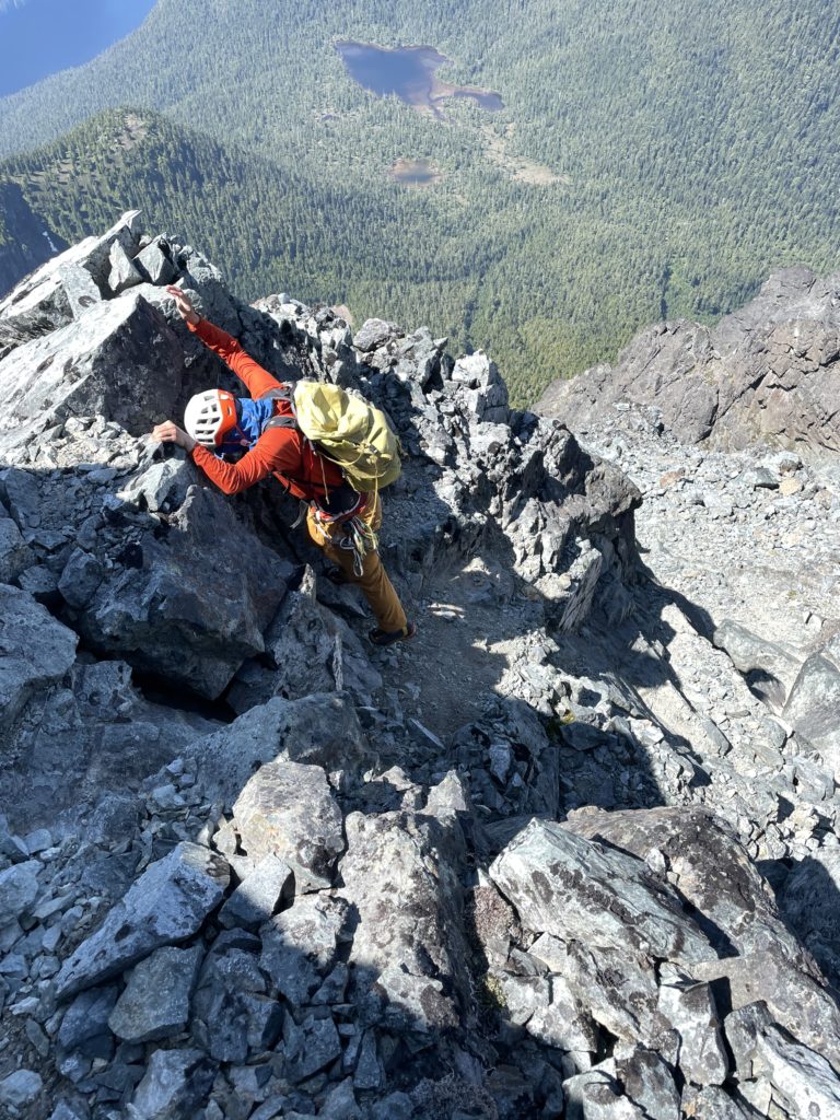
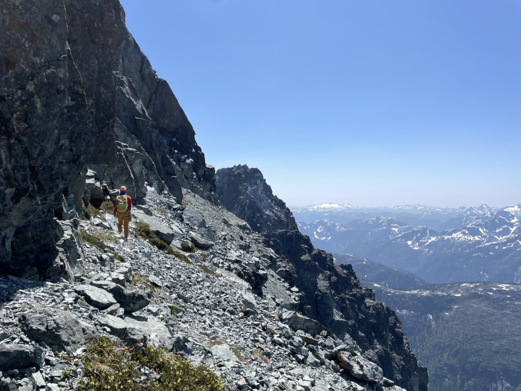
This appeared to be the better option so Steven ran the rope up to the top while Elise and I soloed up behind him. He rappelled in first landing right at the base of the 5.8 slab. Elise and I came down second and third. Just before I decided that I’d like to lead the slab, as I didn’t quite feel as fulfilled to ascend the fixed line. Steven and Elise were totally fine with it, so Steven ascended the line then pulled his rope. I then went on lead on my own rope while Elise belayed me. The slab was actually quite easy and I don’t think it goes any harder than 5.5 or 5.6 with ample protection by alpine standards.
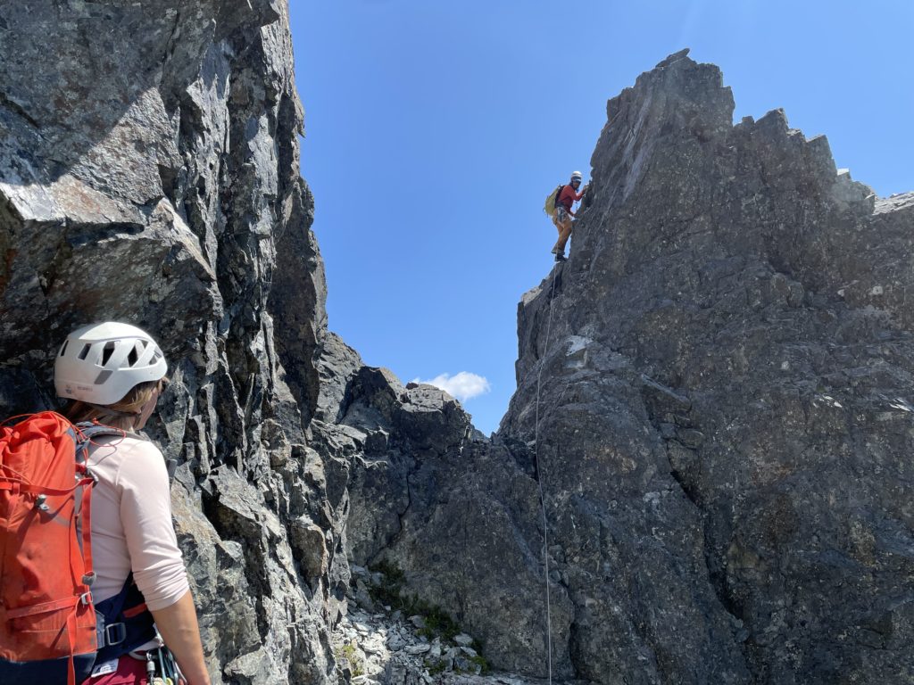
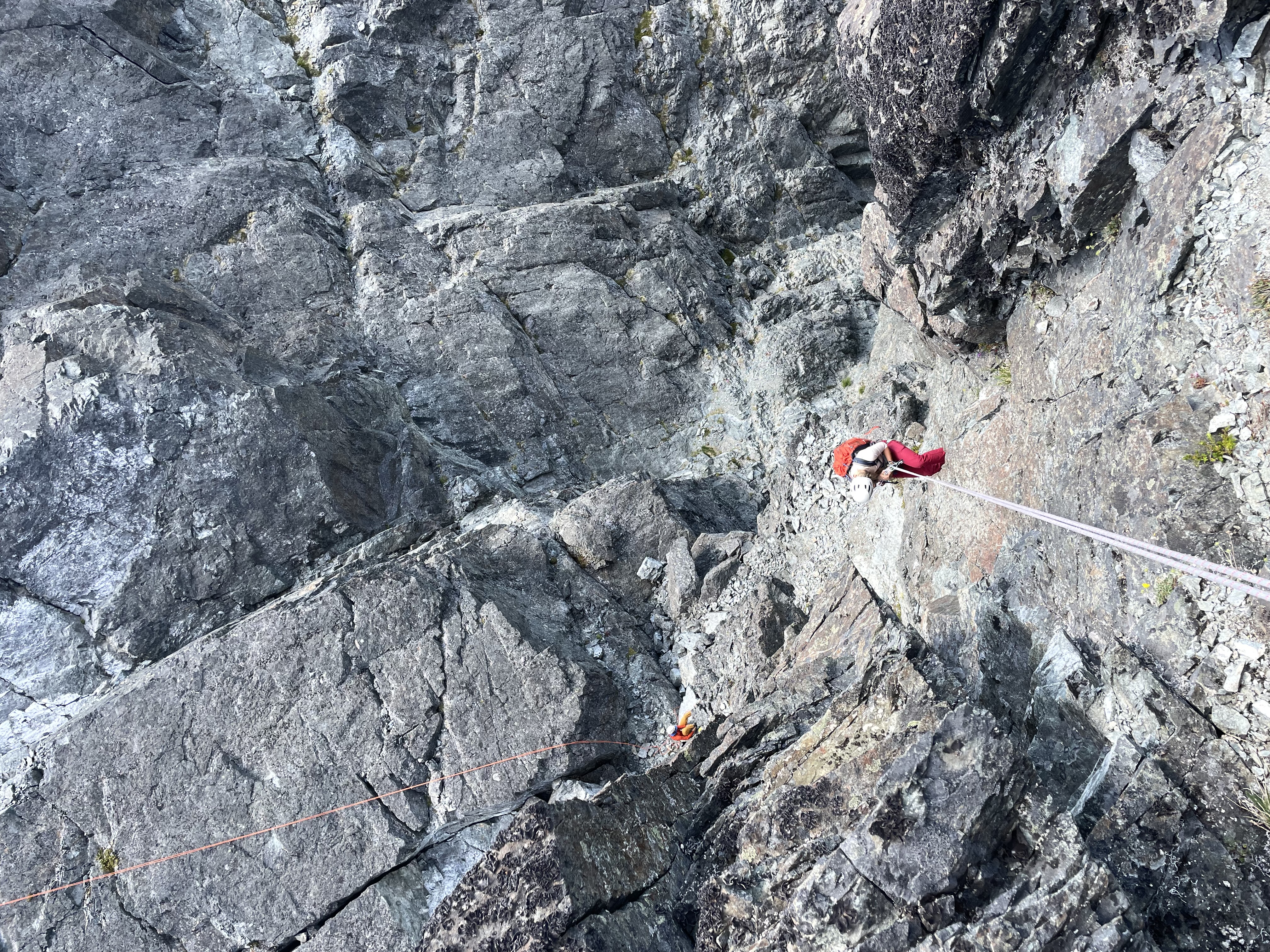
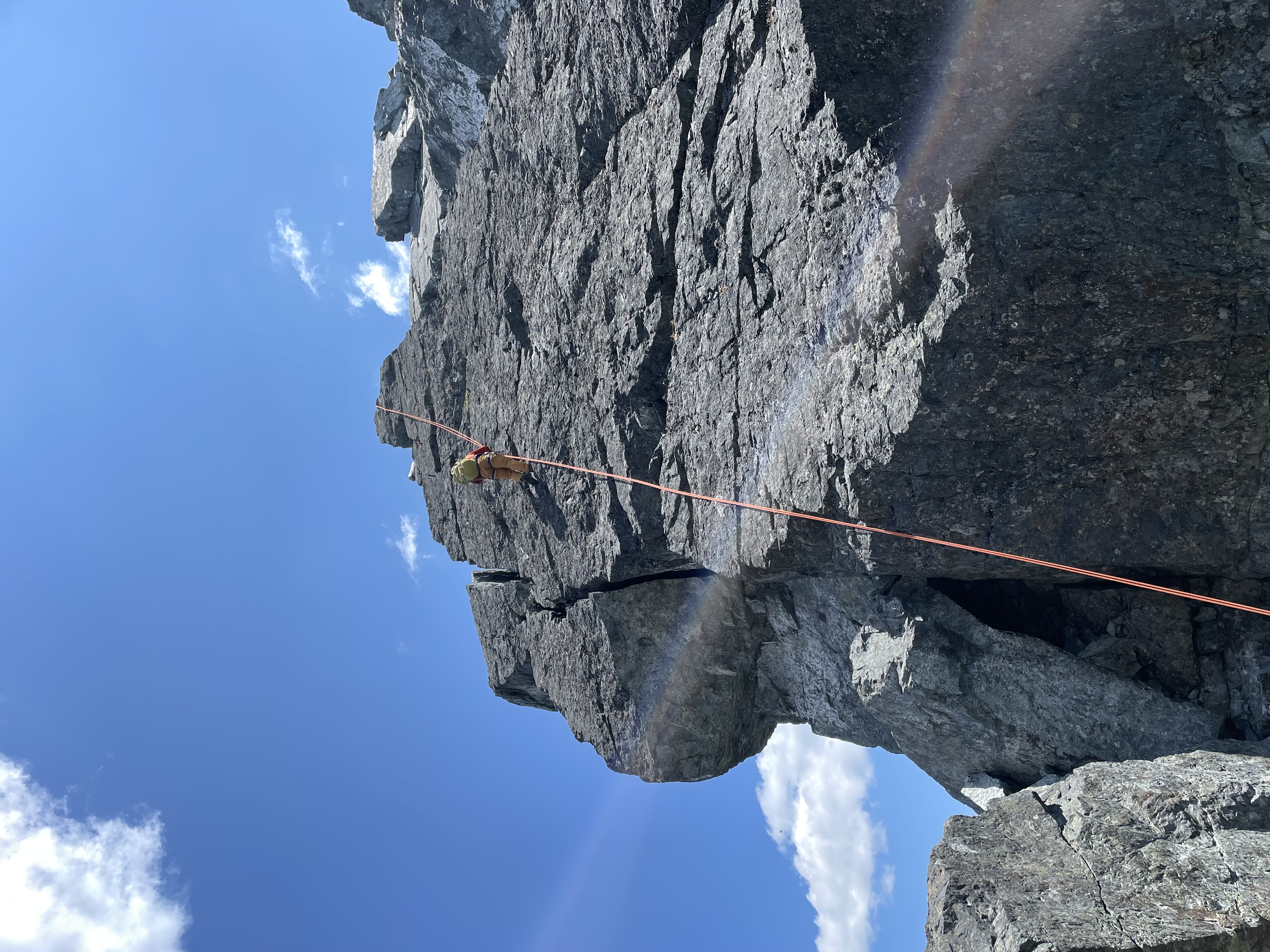
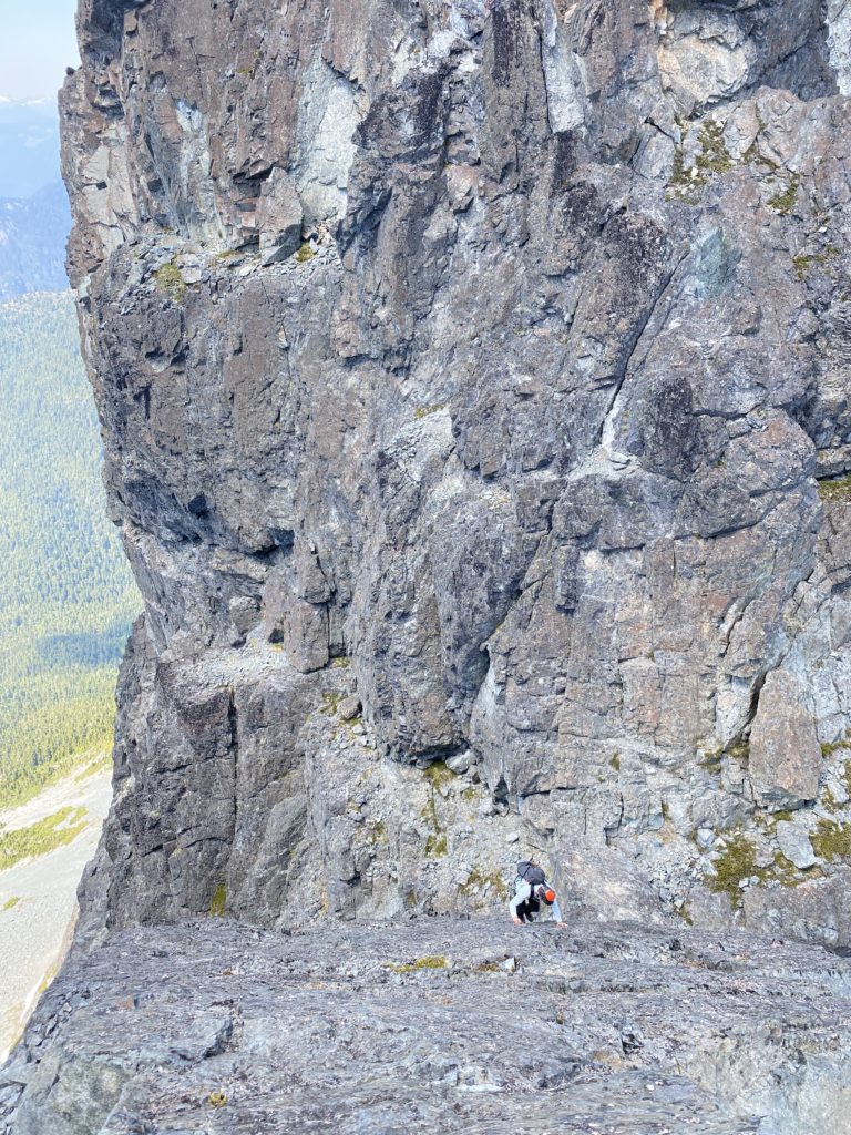
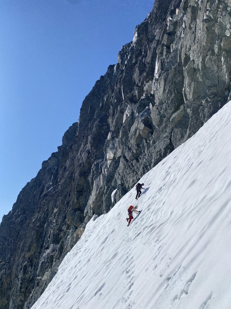
I belayed Elise up from the top and then we reversed the short au cheval move back to low 5th class face above the upper glacier. Steven opted to downclimb, but Elise and located a rappel station and chose just to rap straight down to the glacier. Our 60m rope made it no issue and we all regrouped at our gear stash below the Corporal Gendarme. We took another break to melt some snow and then started our descent down the Great West Couloir. Most parties exit the summit by doing the full summit traverse to the north towers or by climbing back up the south towers with 3 pitches up to 5.8. However, in very recent times a newer descent option has started to see more use. The Great West Couloir offers a 40 degree snow exit when fully filled in and we’d soon see what it looked like mid-summer.
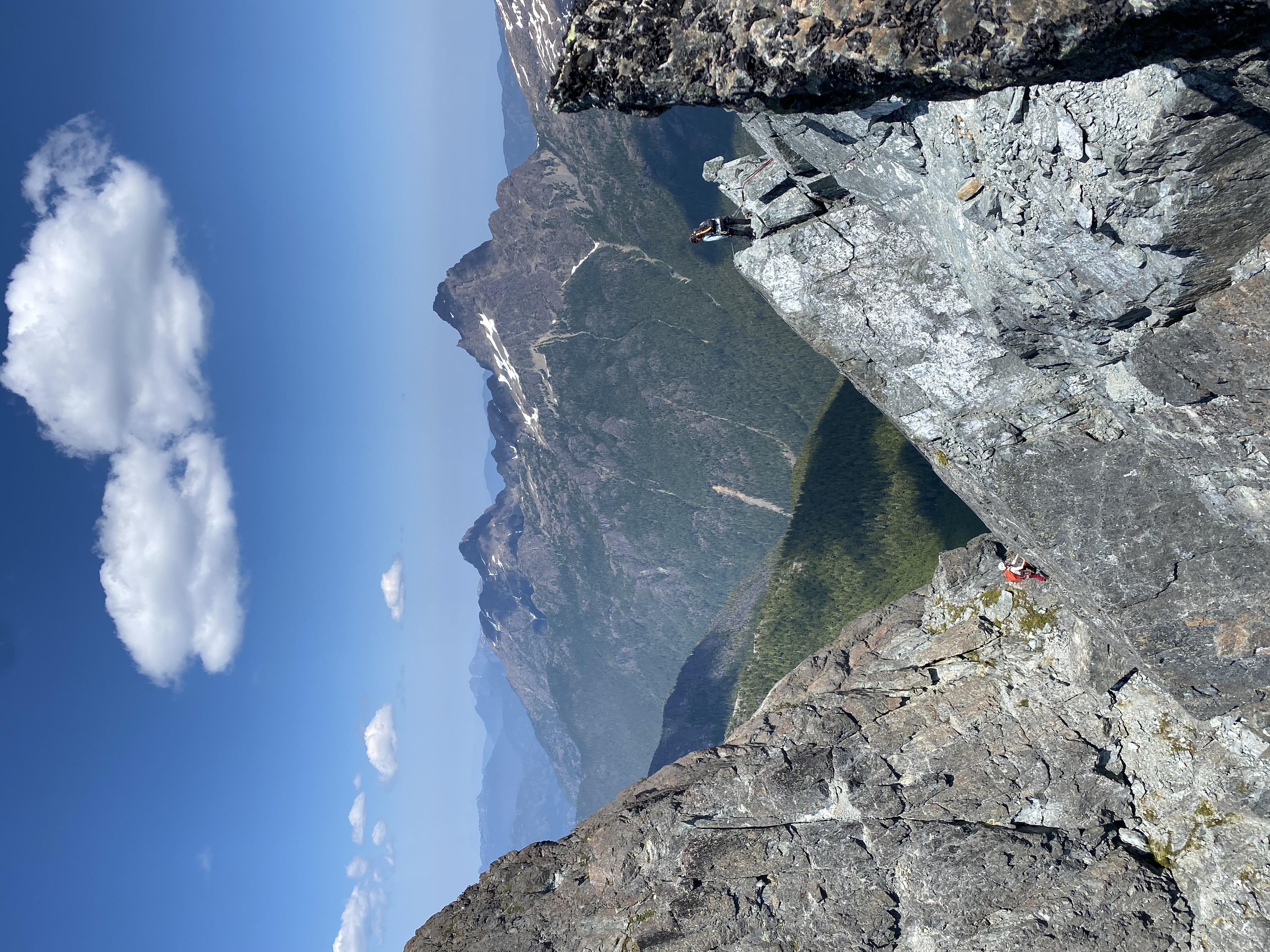
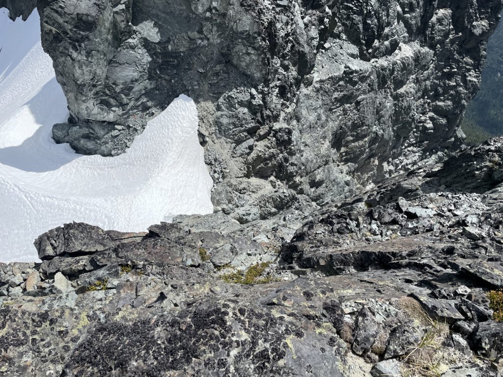
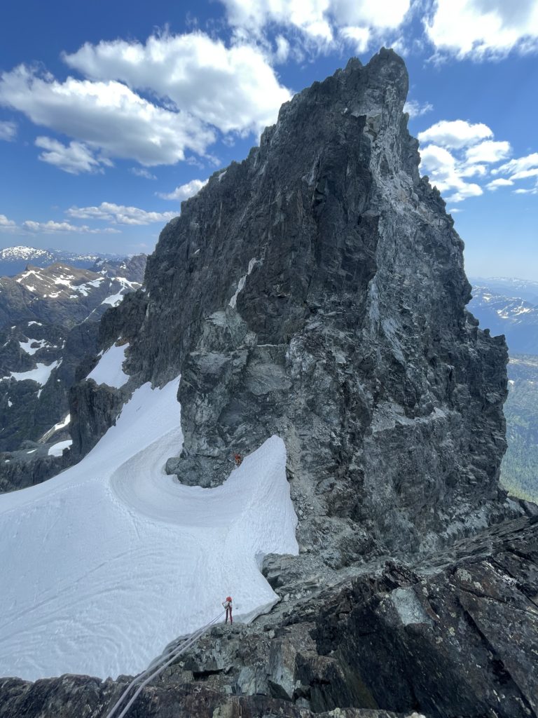
Steven again lead the first rappel on bare rock and we quickly discovered rockies type choss terrain. One must be very careful on rappel to not knock rocks down, but it’s impossible to avoid altogether. We made a double rope rappel of the second anchor and that took us to a safe-ish spot at the top of the snow line. After pulling the ropes we started the down climb. The snow was quite firm and steep and required that we face in for a full 180m descent. I didn’t come prepared for a steep snow descent and so just had bare hands to contend with. After a few minutes they were numb enough to not notice and I finished the methodical dance of snow descending after 20 or so minutes.

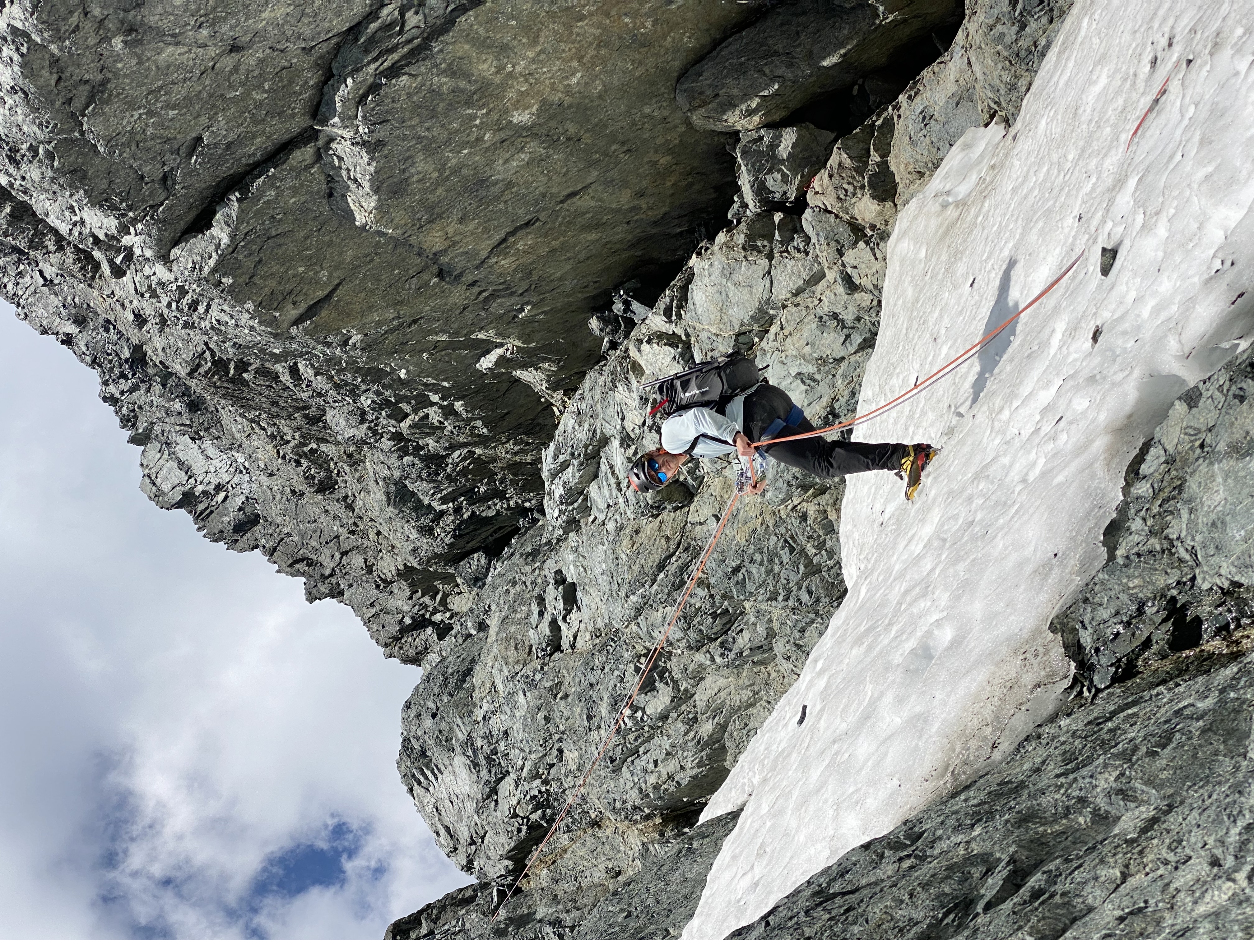
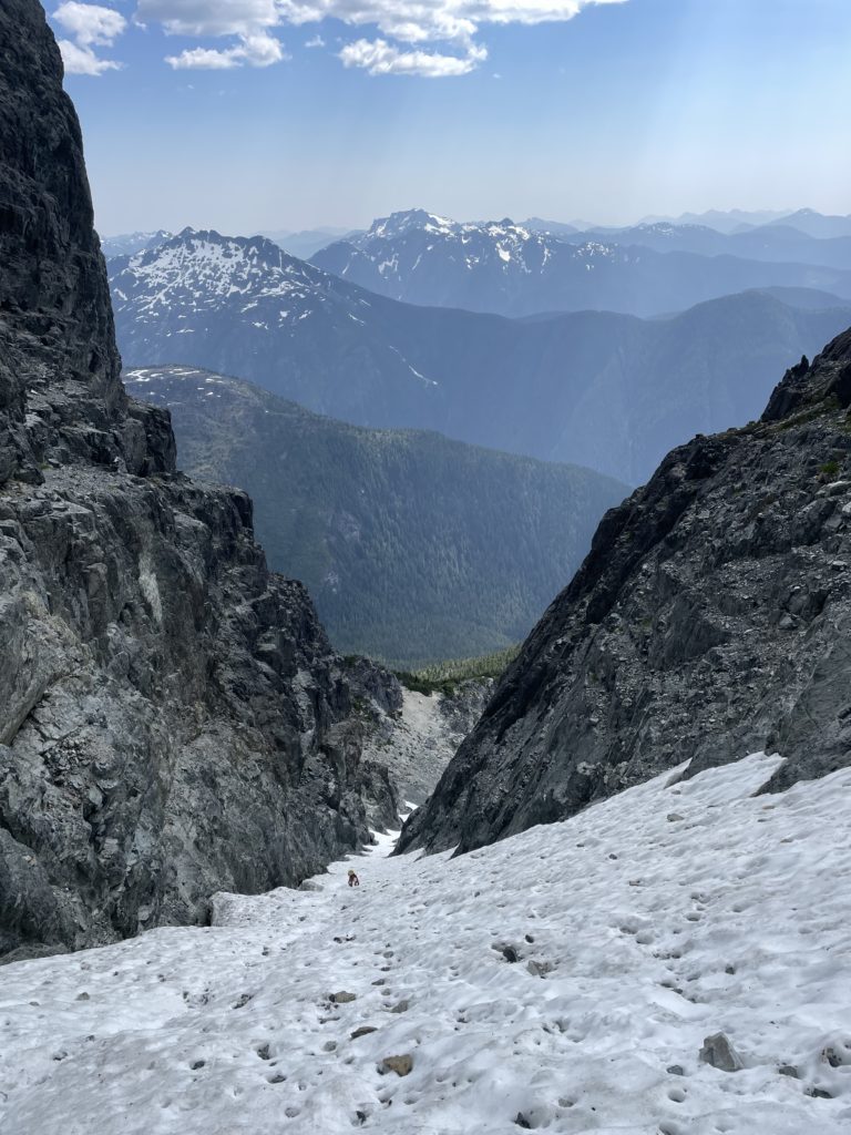
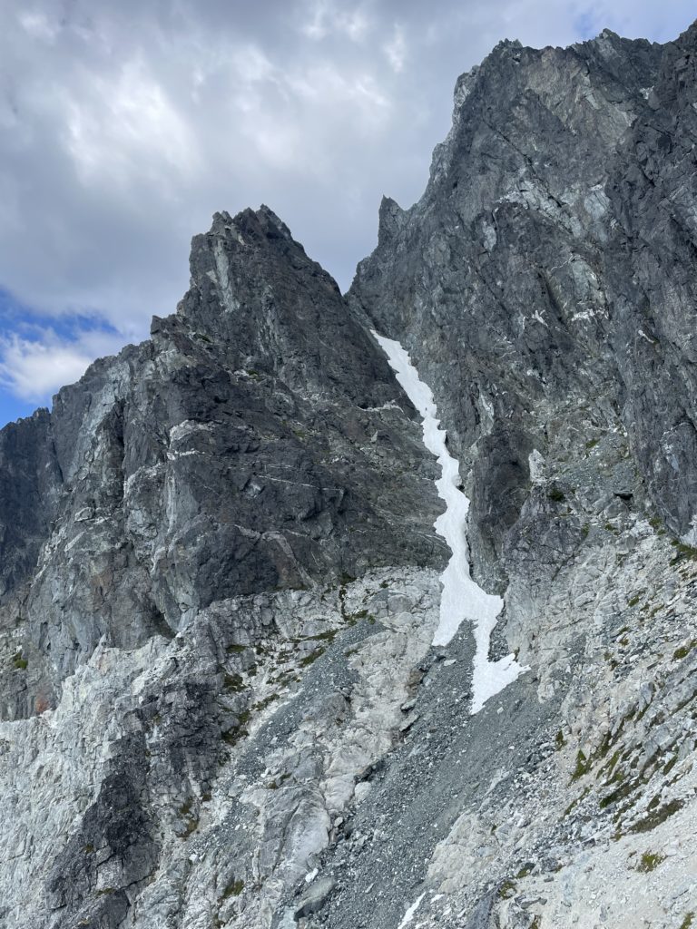
From the base of the couloir we made a short, but dense bushwhack around to the south west side and then it was an easy scree hill walk back up to the col. We reached our bivy with about 3.5 hours of sunlight to spare. I packed everything back up into my big backpack donned some cramp ons and then we all started the descent. The snow was nice and slushy meaning we could face out for practically the entire route. I only faced on the snow bridge section and then we soon regained dry rock.

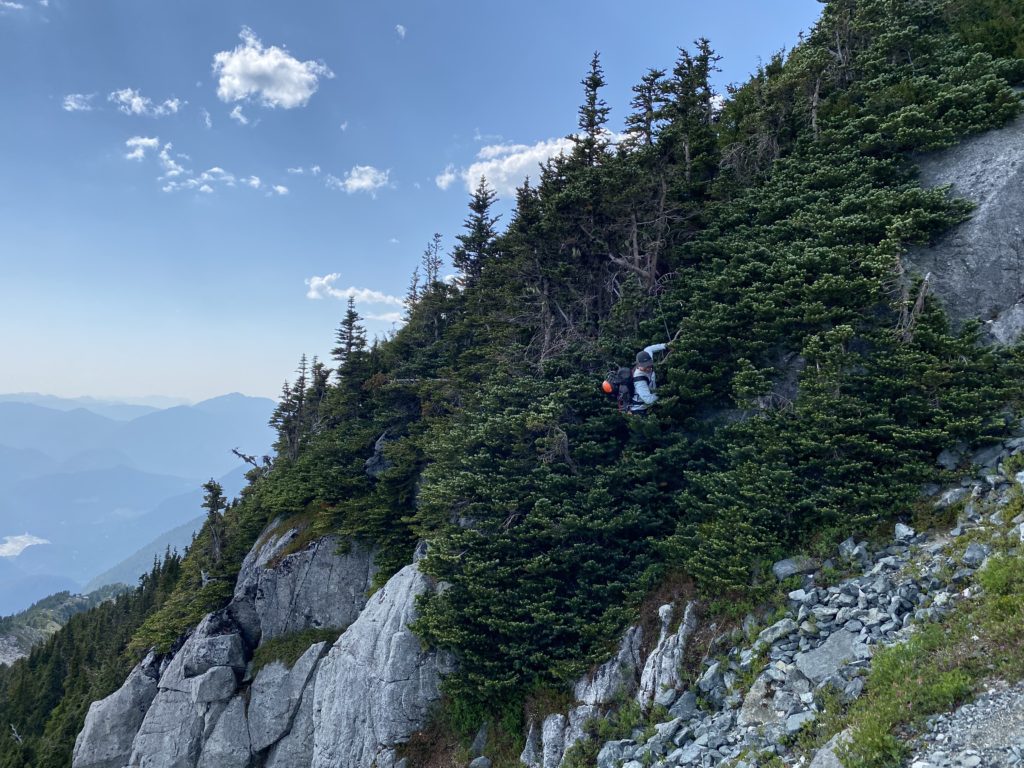
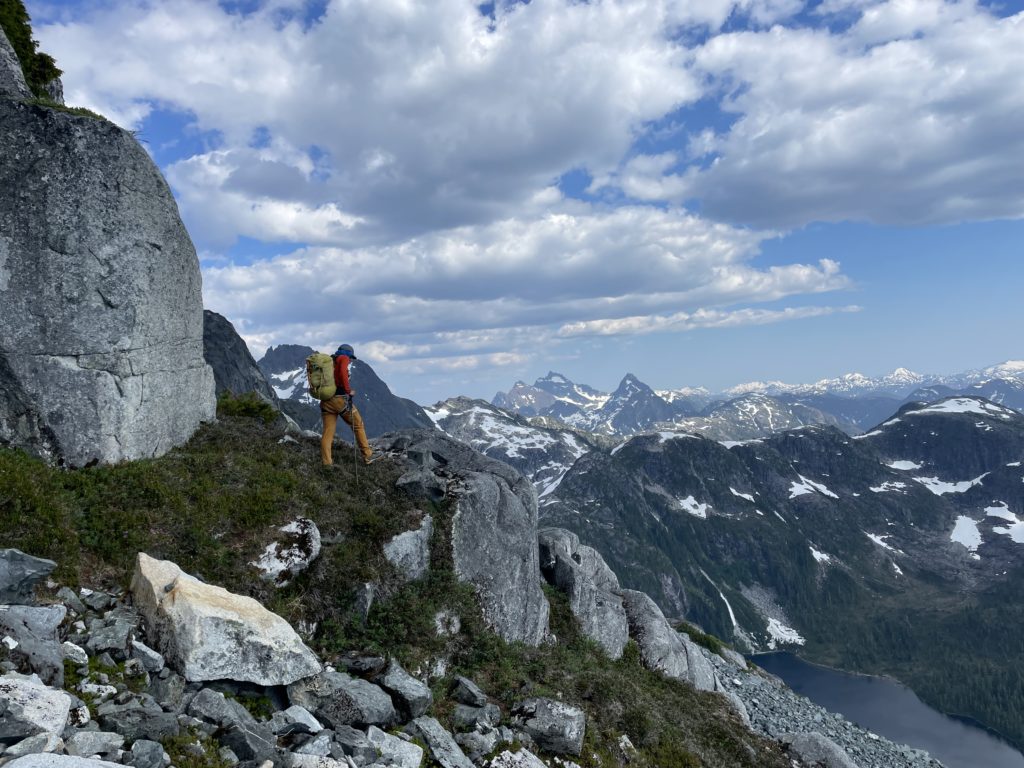
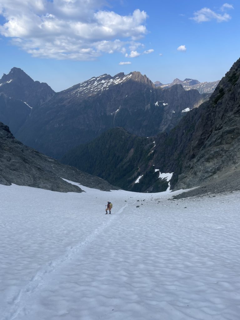
After a short scramble down we located the rappel anchor above that one tricky step and I lead a double rope rappel down to the broad flat ledges below. Now we did a tiny bit more class 2 scrambling across the water fall and that concluded the last of the technical terrain for the trip. We stopped here for a nice dinner break as there’s a good breeze keeping the mosquitoes away.
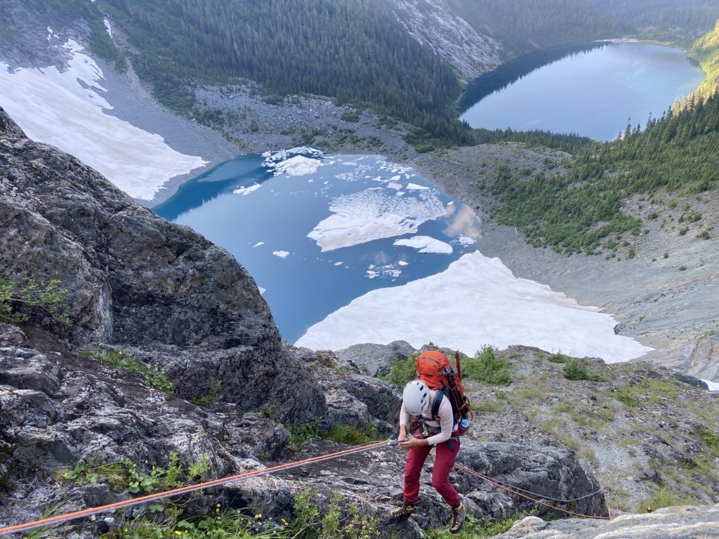
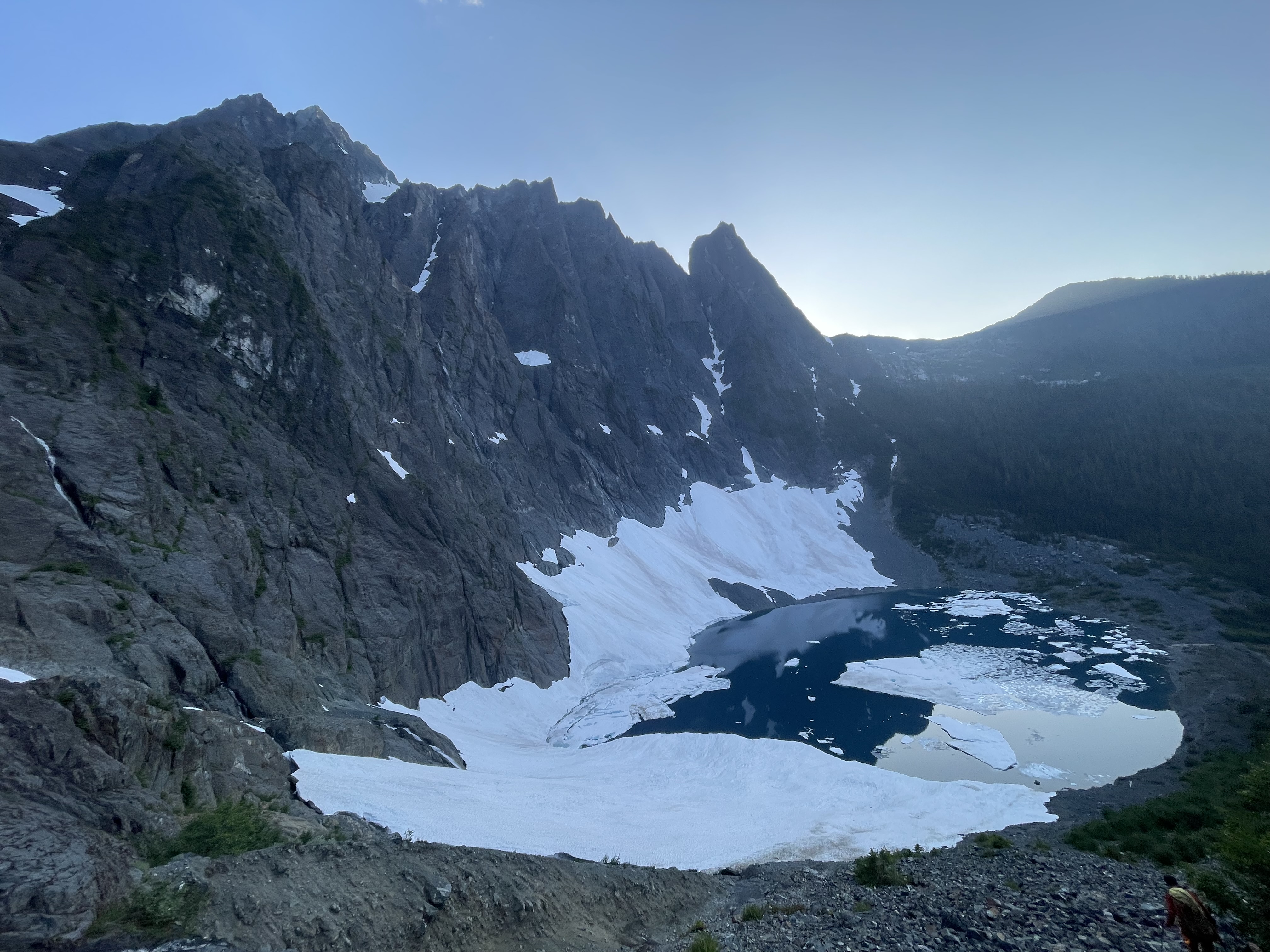
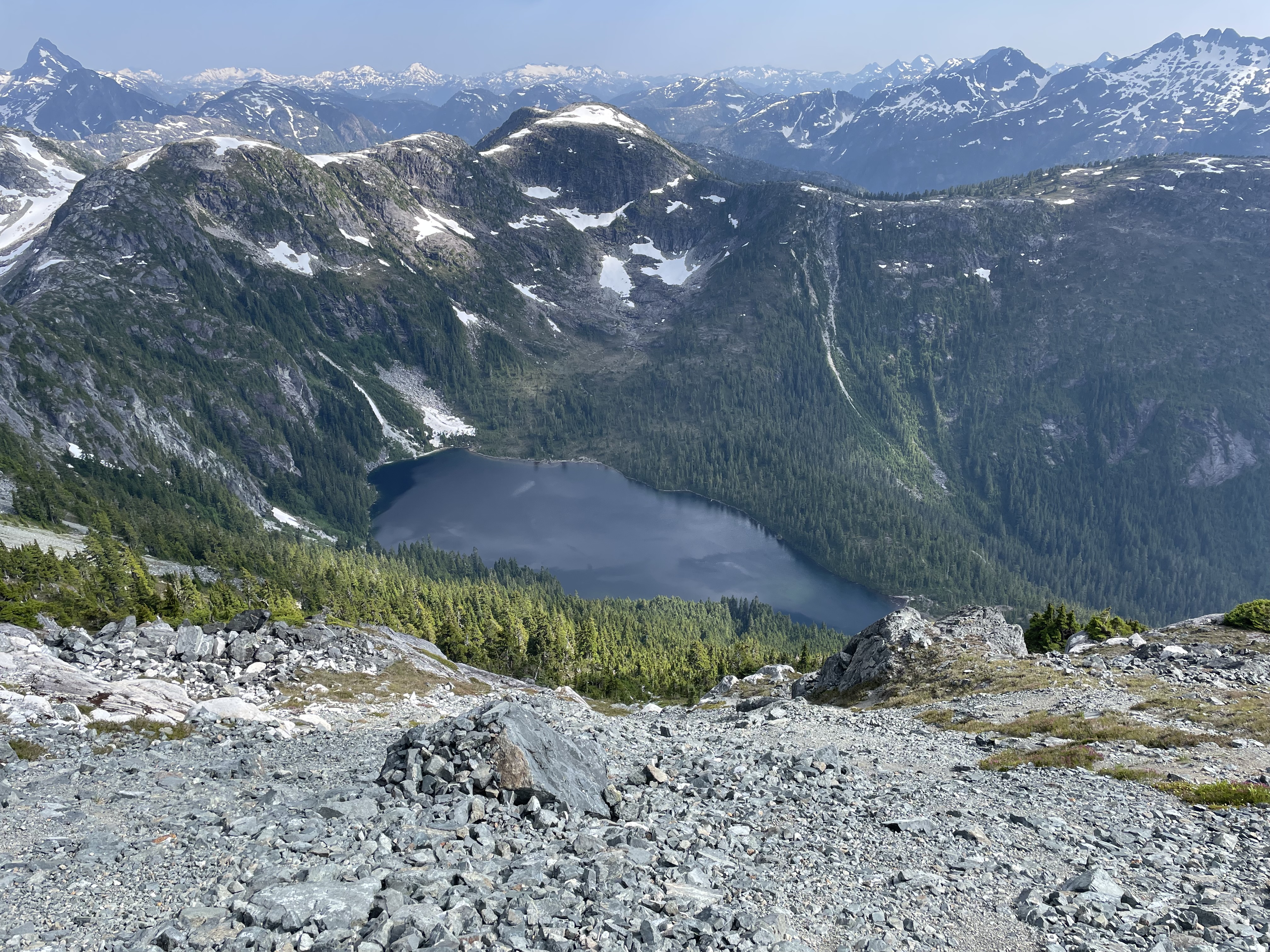
Finally we did the last of the scree slope descent down to Iceberg lake and then the long forest trail around to Landslide Lake. By some miracle there were no mosquitoes at all and so we settled in for a final open bivy of the trip. I fell asleep before the sun even finished setting and woke a few times to a star lit Colonel Foster high above the lake. Collectively, we all slept into until about 8:30am and then sun hitting the sleeping bags finally forced us out.
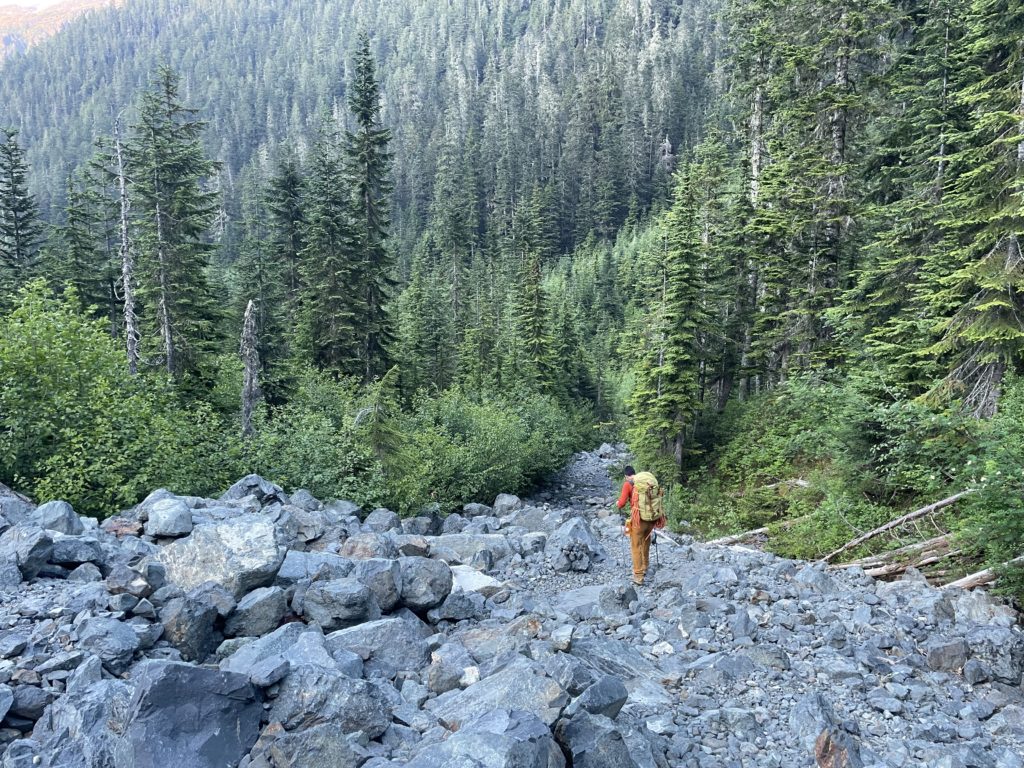
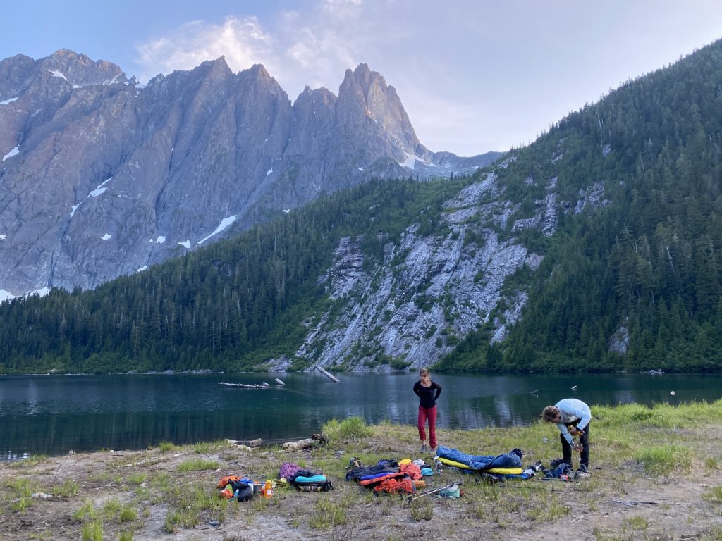
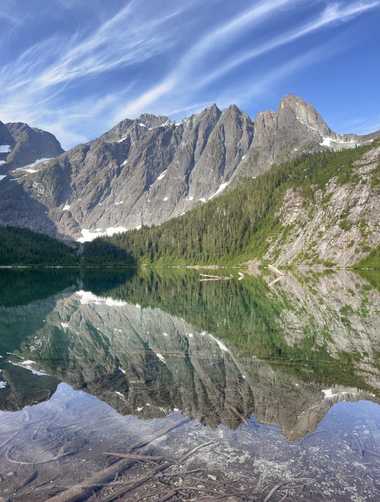
We packed up and made the long humid hike out to the car. It was a bit more of a grind than I expected, but we got it done in about 2.5 hours and that meant we’d make one of the ferries tonight for sure.
Steven drove us out to a much needed A&W stop and then we sped off to the ferries. It was a bit of the usual shit show with us almost making it onto the 3:15 (within 10 cars) which was apparently sold out, so we weren’t even at the truck. Then the next ferry was 90 minutes delayed. Despite all of that we still got home earlier than I expected and I was pulling up to my door around 10:30PM.
It was an epic 3 days and I have to say this summit might be one of my most challenging to date. There’s no one section that’s ultra challenging, but all combined with the time spent in exposed terrain, airy 5th class moves, steep snow and so on, it proves to be a very complex summit to reach. You certainly want a team of well-rounded climbers to make this one happen as you’ll want to be comfortable on multiple types of big mountain terrain.
