Elevation Gain: 882m
Distance: 10.48km
Total Time: 3 hours 42 minutes
Date: July 1st, 2023
This July long weekend I had big alpine ambitions with a solid group and a great weather window lined up. However, signs of a cold began to creep in early week and by Thursday it turned into full-blown COVID (who knew this stuff was even going around still?!). That actually marked the first time I officially tested positive for it, although I’m fairly certain I had it on Aconcagua as well. Not surprisingly, the big weekend plans went completely out the window and I spent most of Thursday and Friday in delirium. By Friday evening, I was somewhat on the recovery and wanted to make the most of the good remaining weather.
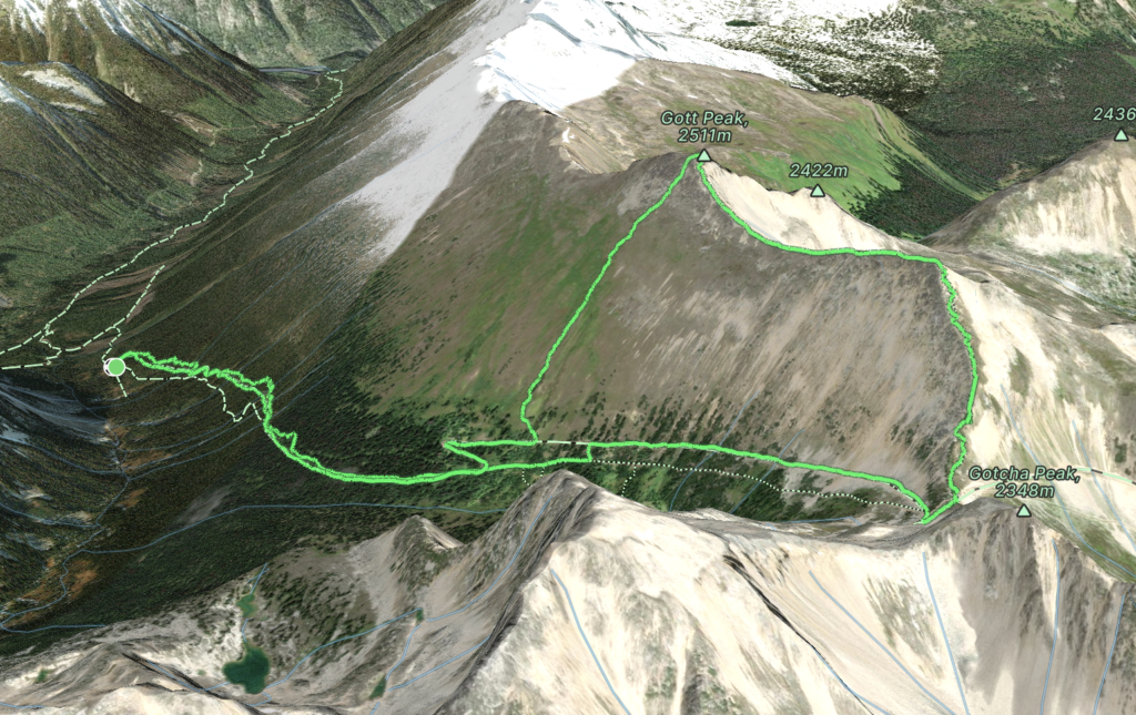
I needed an easy outing, but preferably some new views and that’s when I remembered Gott Peak. This summit is located South East of Duffey Lake on a long ridge line that marks the head of several valleys in the area. It’s accessed via Blowdown Creek FSR which was created to access a mine further East near Silver Queen Mountain. Now the FSR stops short at Blowdown pass, but that’s more than enough to get you within striking distance of the summit. This area has garnered quite a bit of attention over the years thanks to the easy access and even includes a description on popular sites like AllTrails, making this an easy pick for me in my current state.
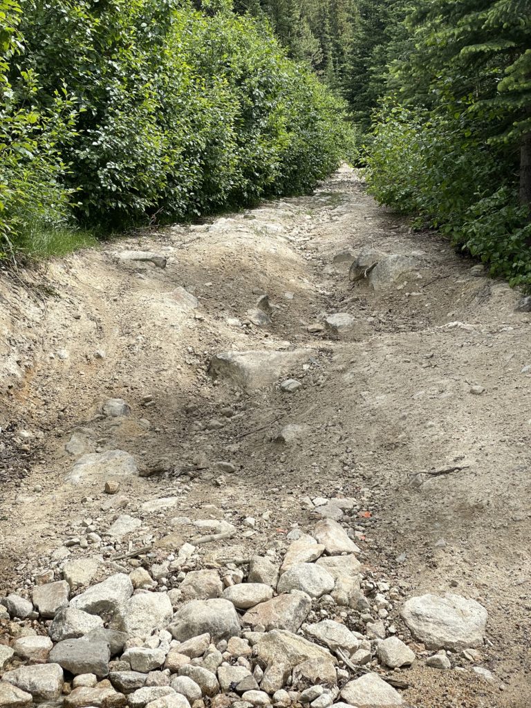
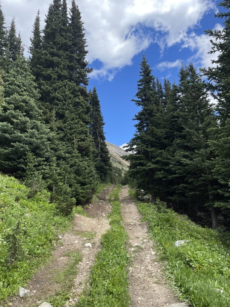
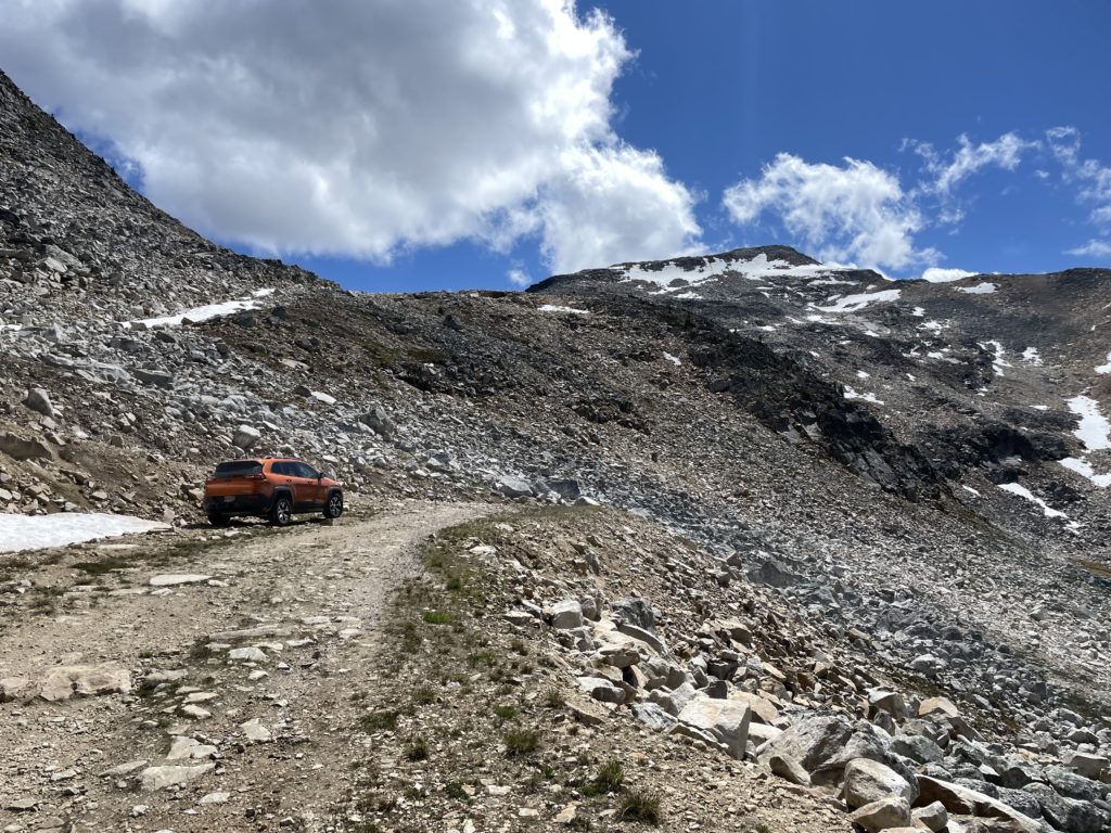
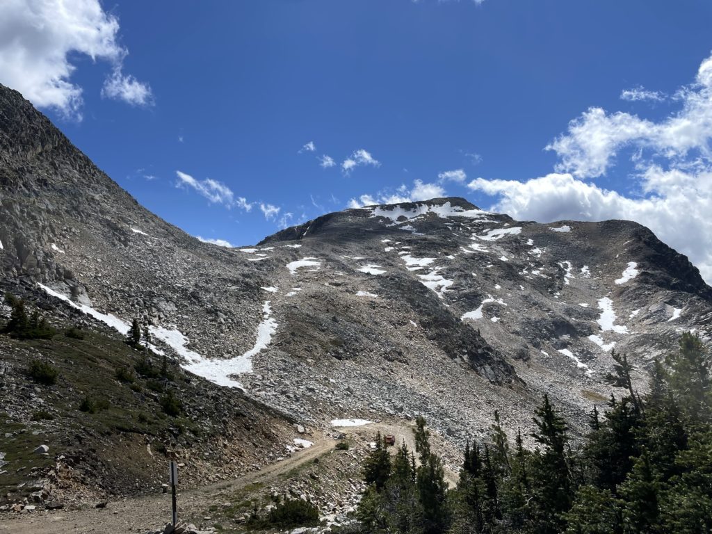
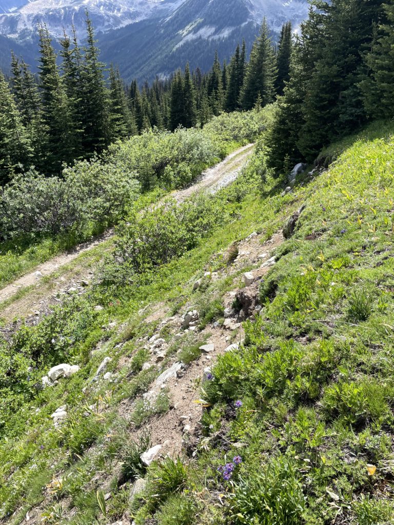
On Saturday, I hit the road around 8:30am and made a quick stop in Squamish to grab some bear spray. Then another hour later I had to pull over as a wave of flu/fever rolled over me. I managed to get some food down and that seemed to alleviate the issue a bit, so I pressed on and drove a straight shot from there to the turn off for Blowdown Creek FSR. The road was in great condition overall and I soon reached the main stopping point at around 10.5km in. Here a spur road continued up to Blowdown pass but it was apparently very narrow and challenging to drive. I was just up on my own, so decided not to risk it. As it was, there were a number of trucks parked lower down so it seemed like the right call.
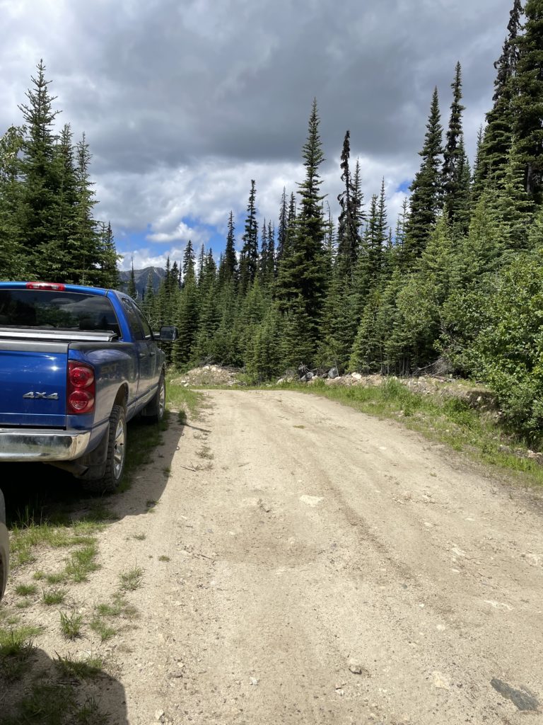
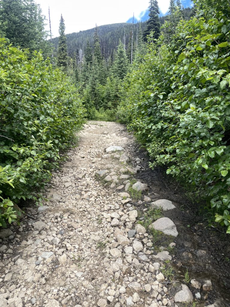
I hit a reasonable stride up the FSR and was pleased to find my breathing capacity was not deteriorated too heavily. The road walk is not much to speak of as it’s more than wide enough for a few people and despite my initial concerns it actually looked easily driveable in my truck. Sure enough part way up a Nissan Frontier came down the road so that confirmed that I could have made it. Nonetheless, I spared my paint job for another trip.
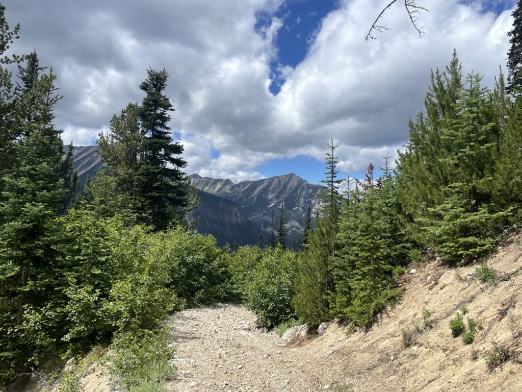
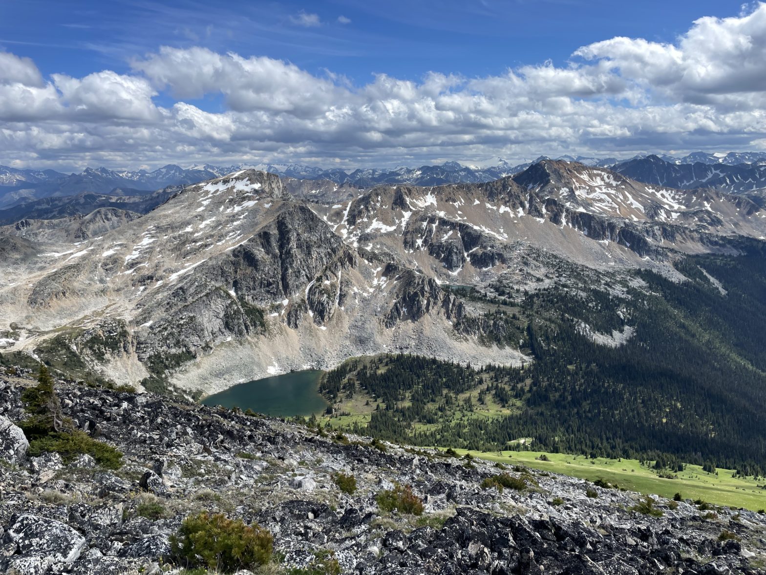
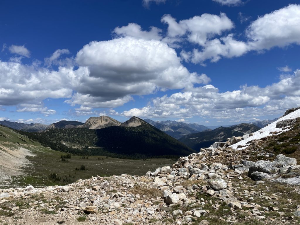
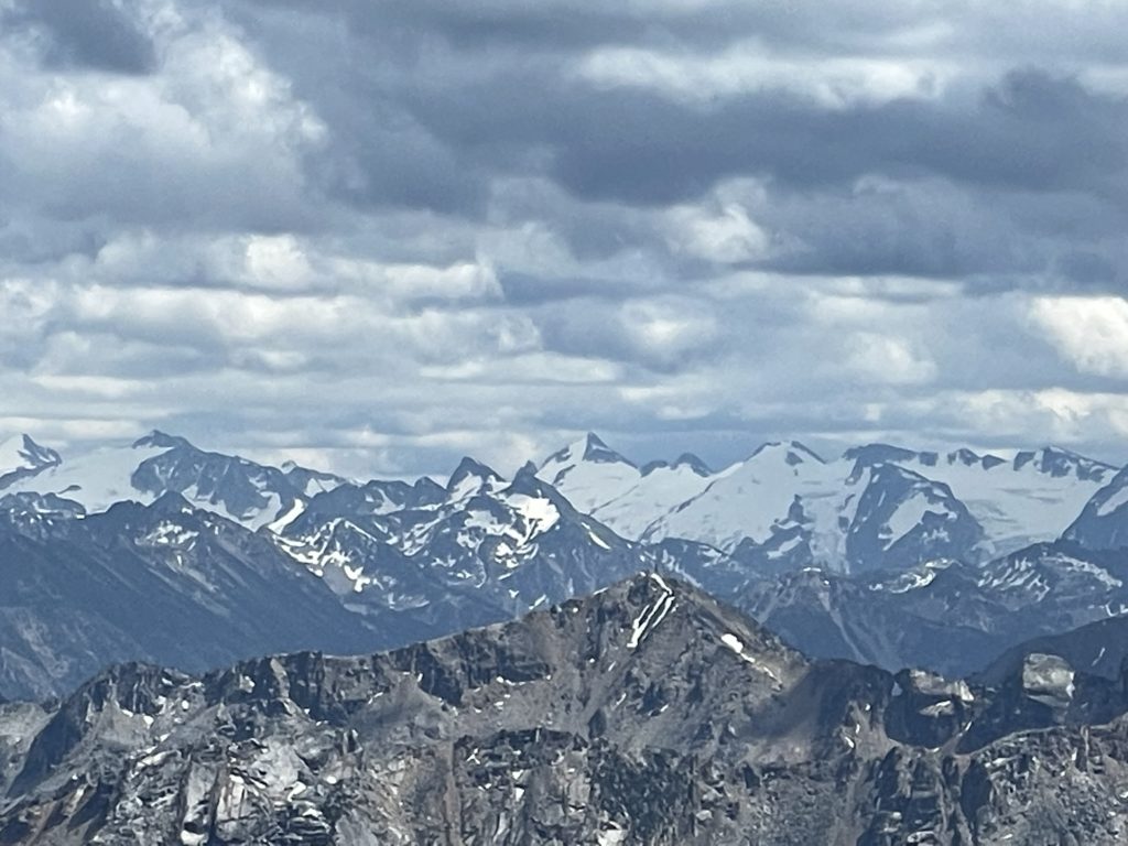
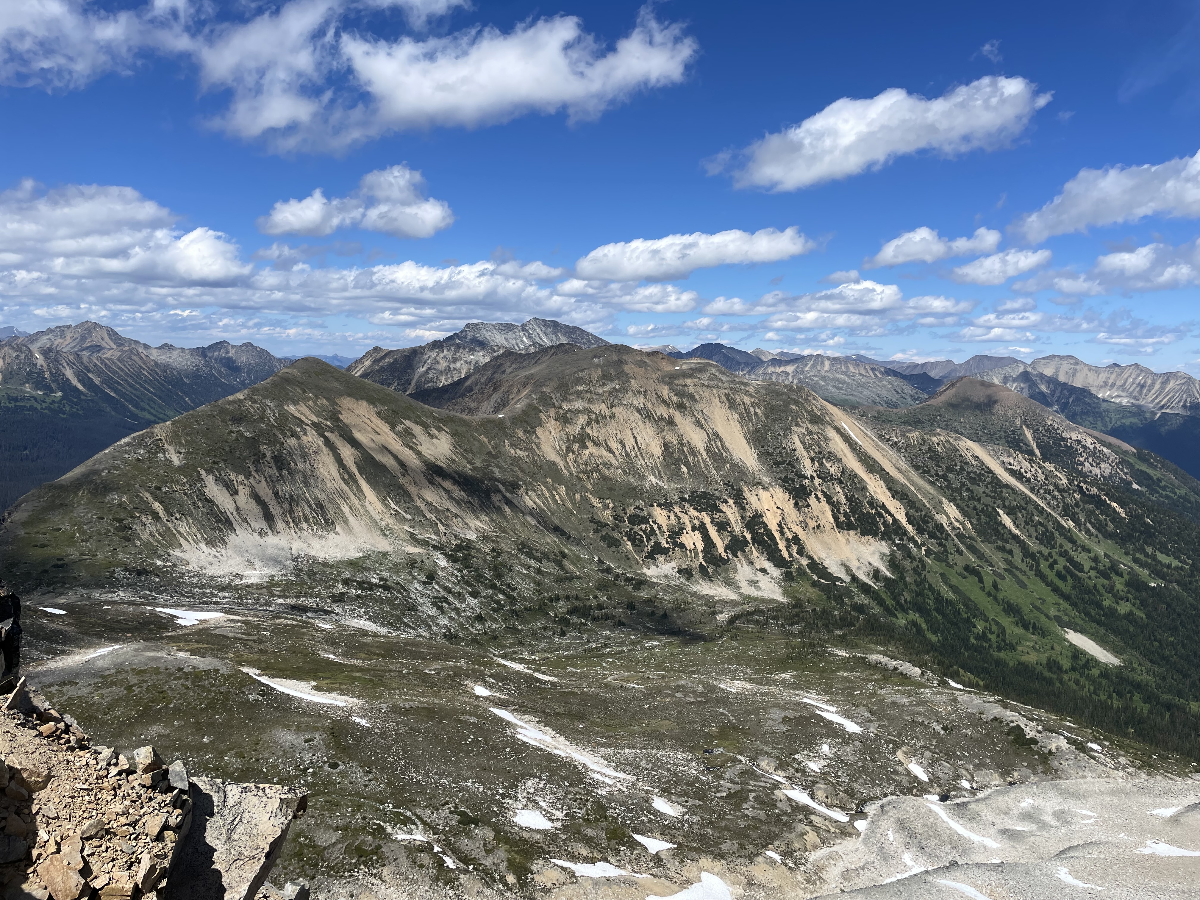
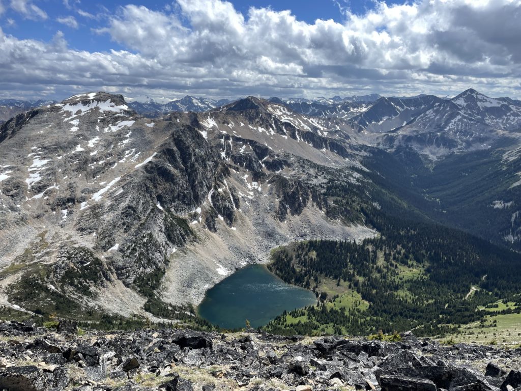
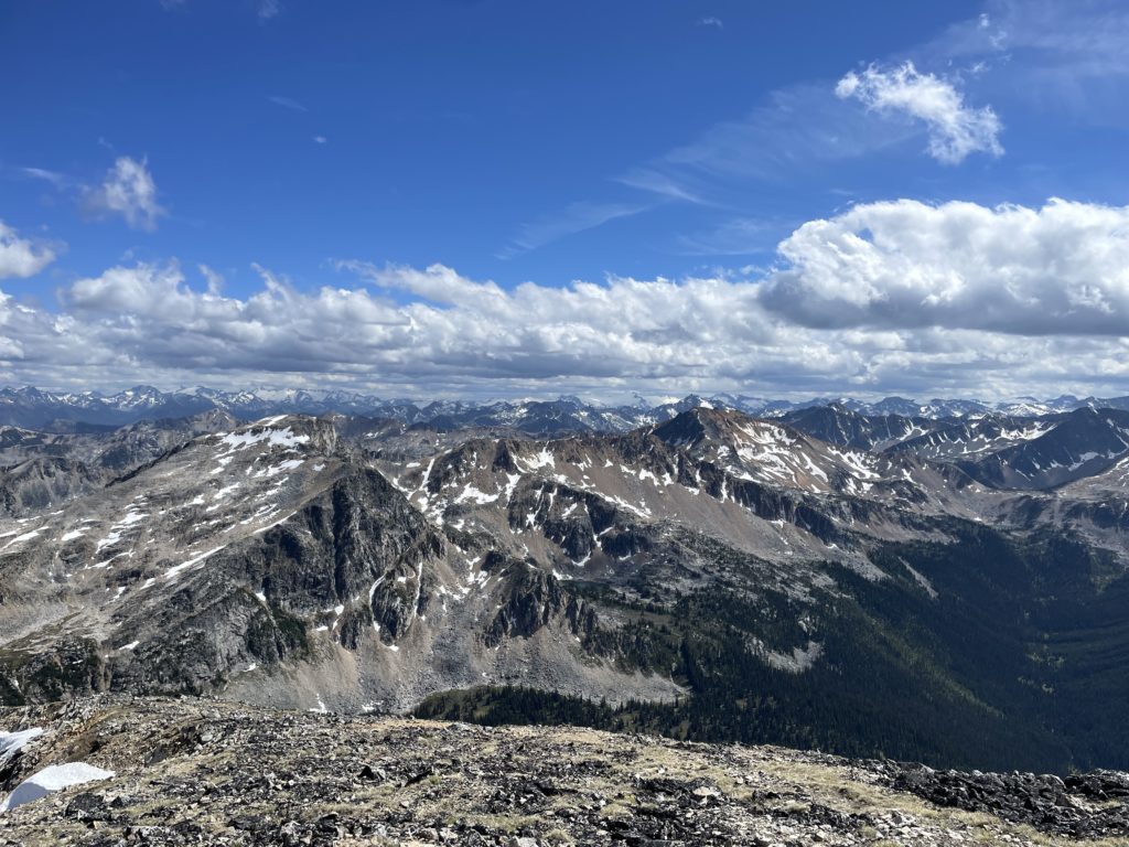
As I climbed higher the forest tapered out and I could see the path to Blowdown Pass ahead. Up to my left was a long gain of alpine meadow directly up to the summit. I was briefly tempted to march straight up as I head read Steven do in his report, however I really wanted to see the views from Blowdown pass as well. I decided I’d come down this way on the way back to get a full scope of the area. I continued on the road and spotted tents dotted around the unnamed lake at the base of Gotcha Peak. Shortly after I reached the crest of Blowdown Pass and drew in the vast expanse of the Stein Valley. Off in the distance stood some of the giants of SWBC including Skihist, Petlushkwohap and Siwhe
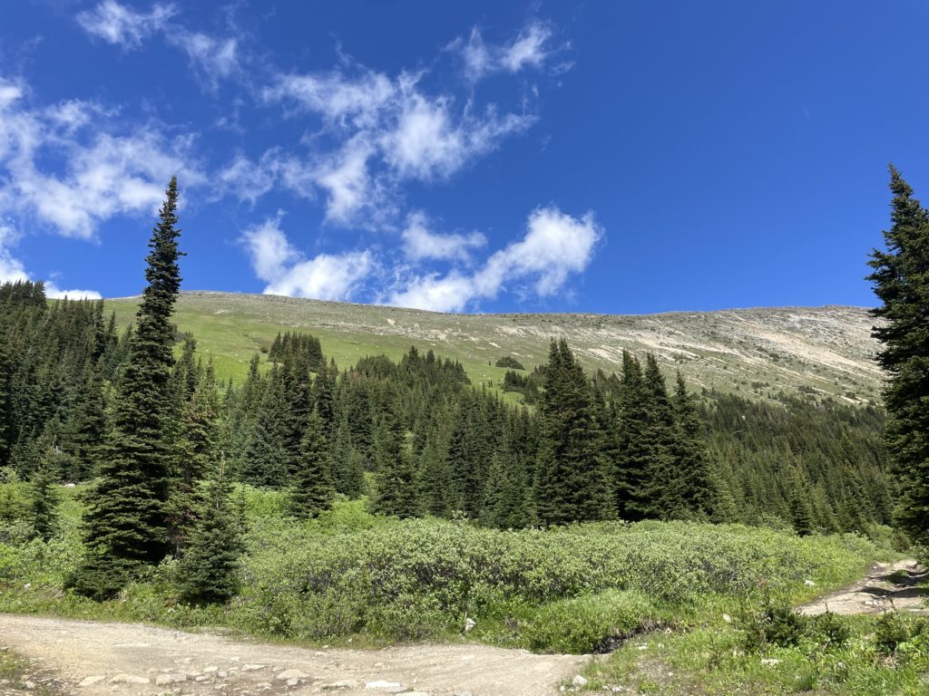
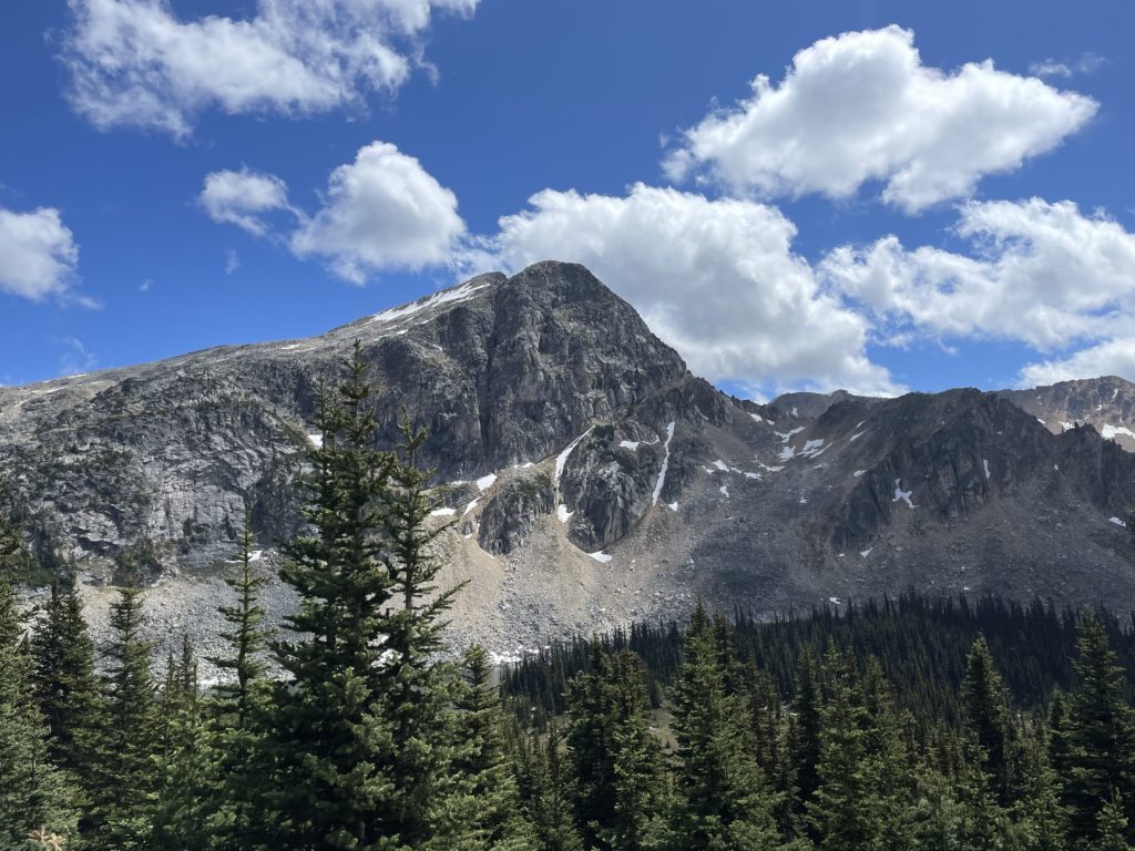
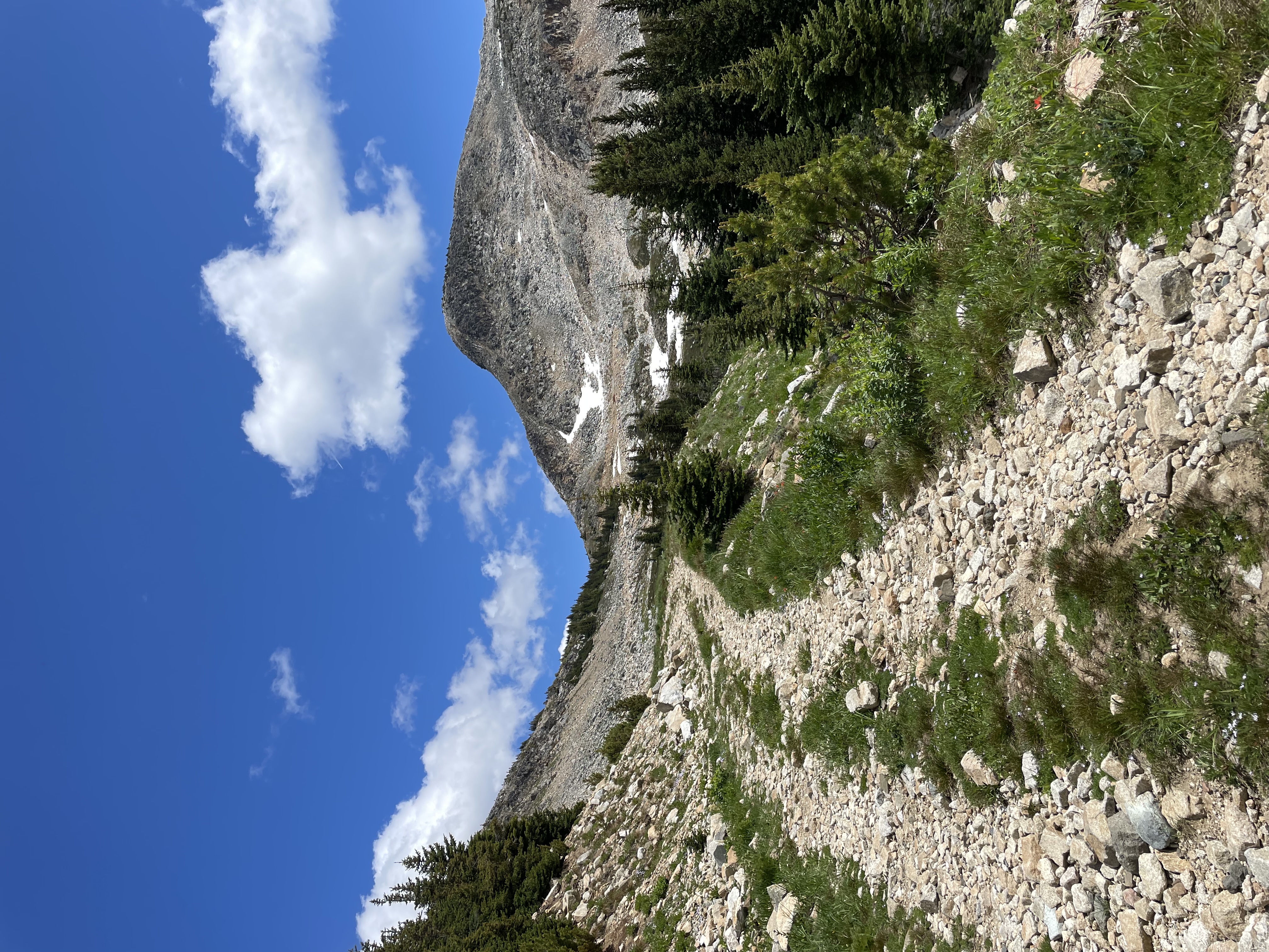
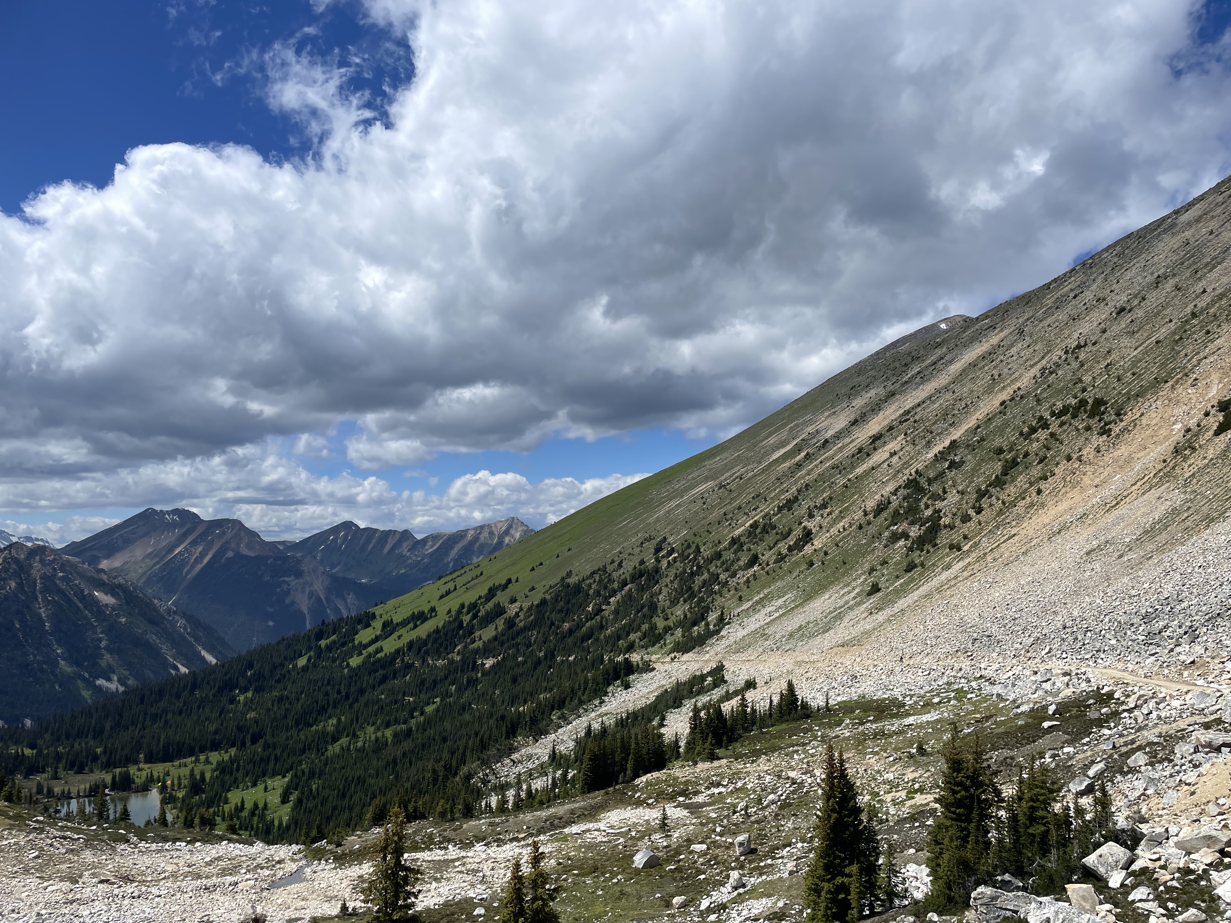
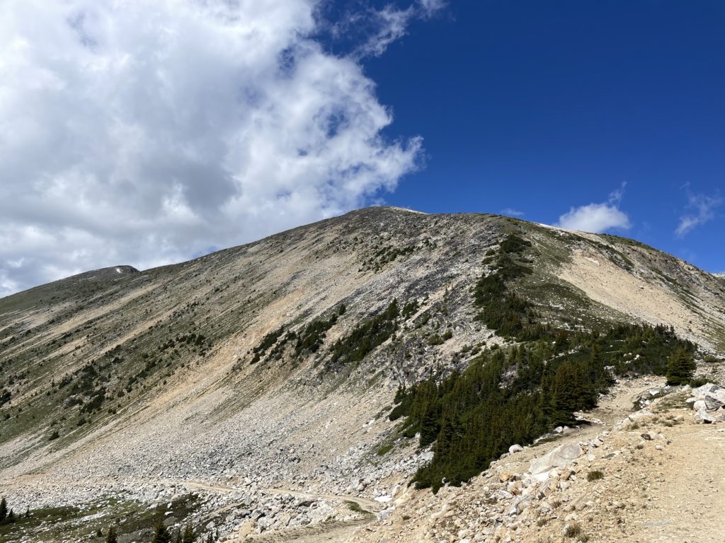
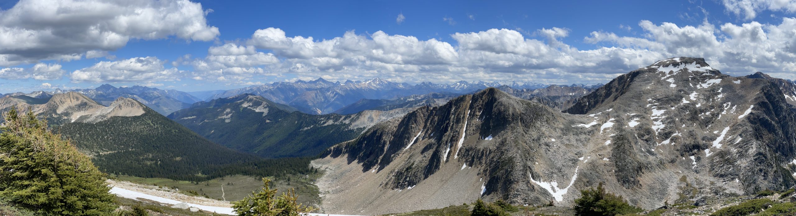
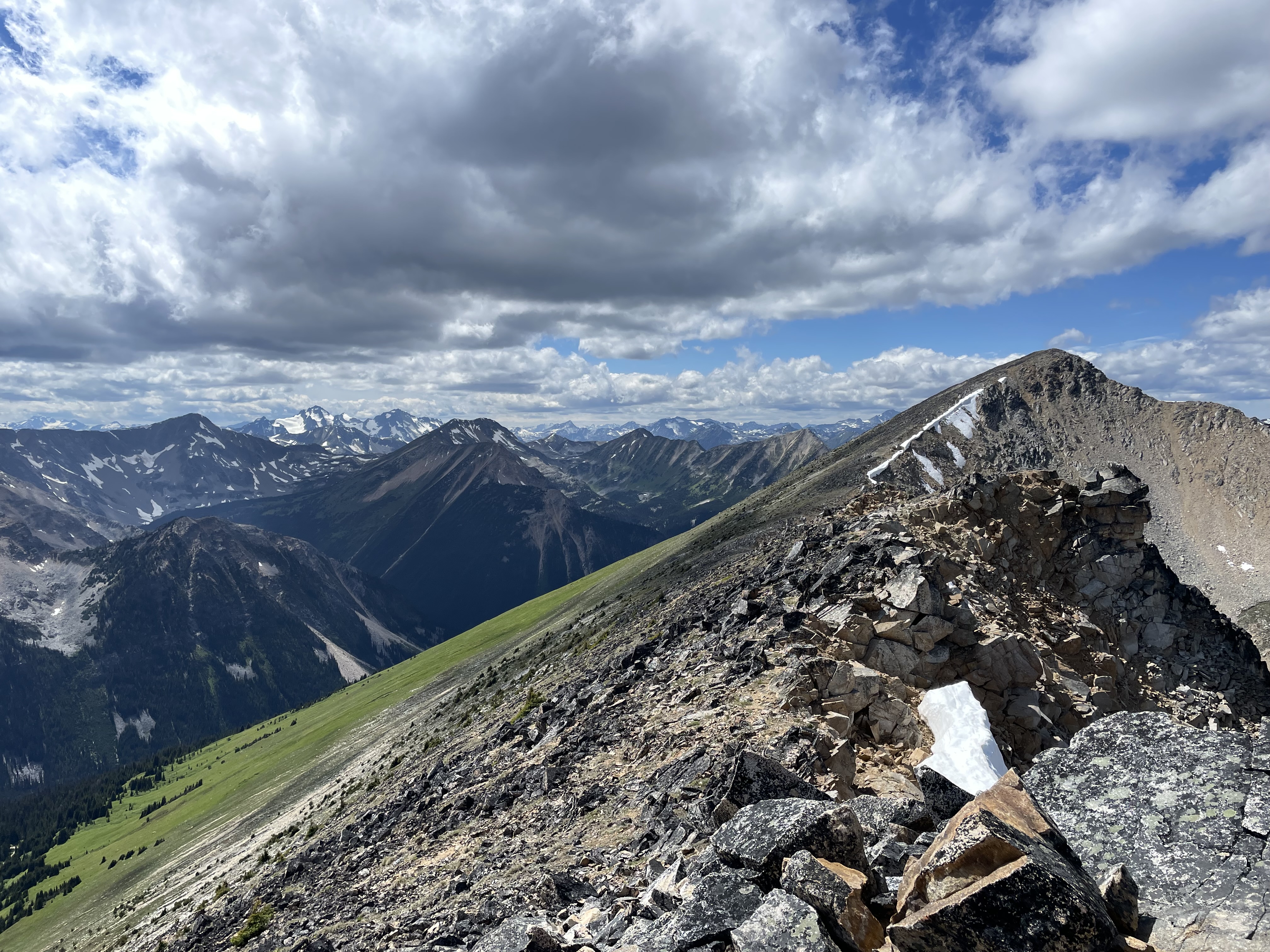
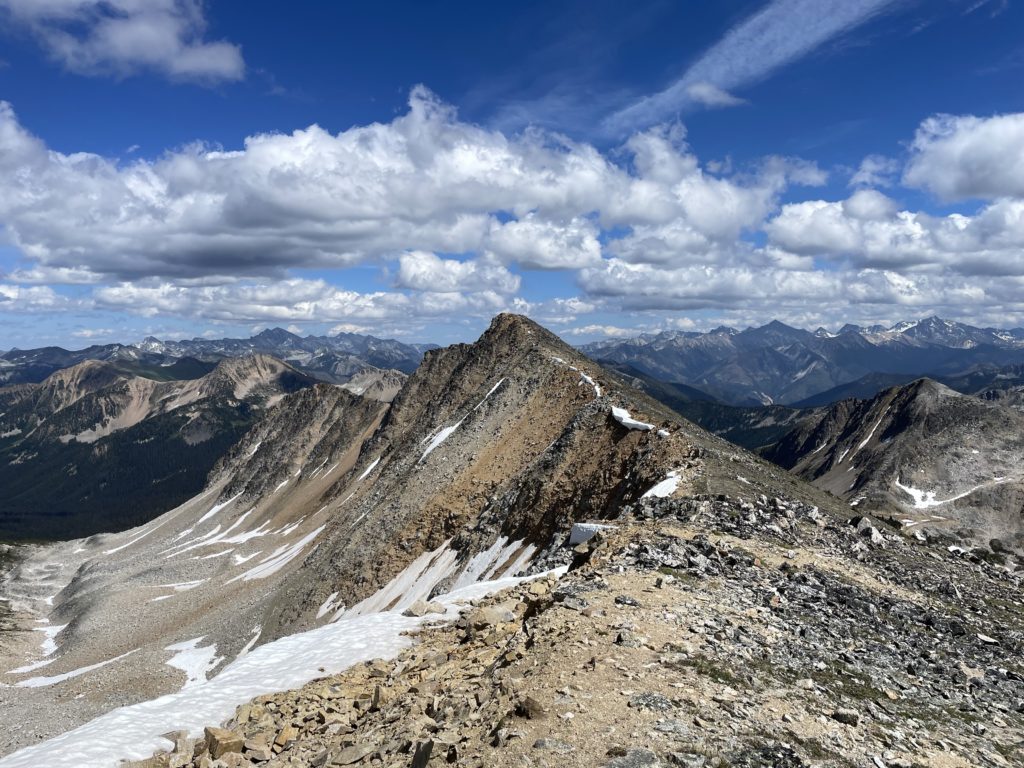
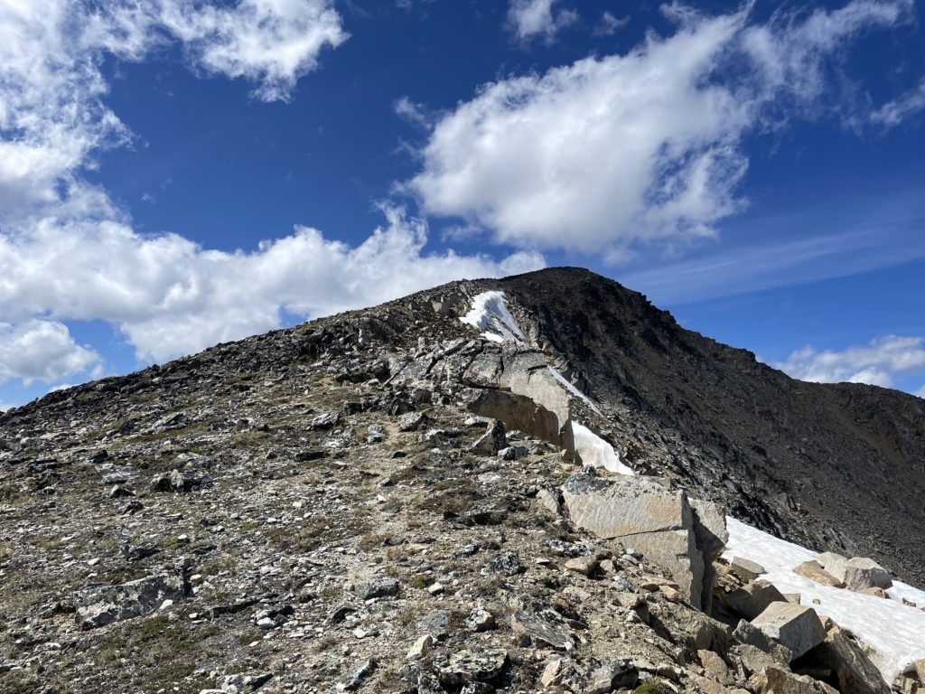
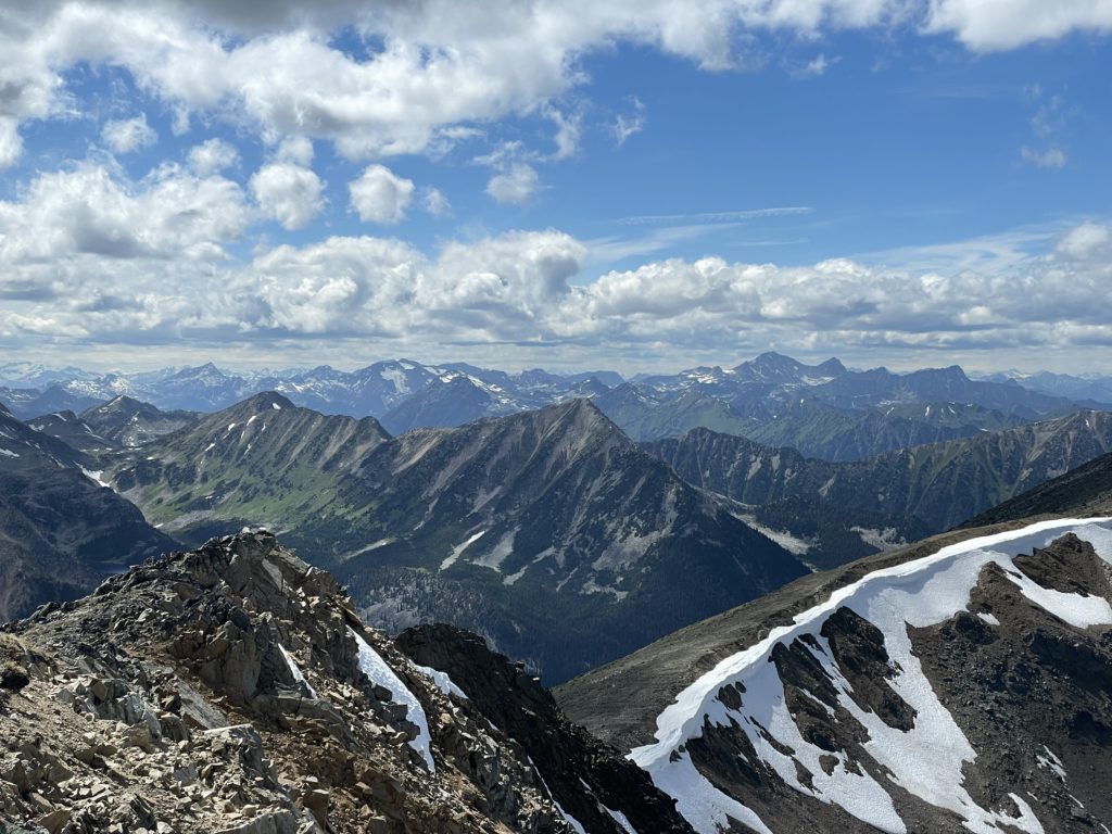
The wind picked up on the ridge line and that turned my attention to the next part of the route. I spotted a few hikers coming down the ridge line and started up towards them. Part way up, I found a wind sheltered ledge and stopped for a snack break before continuing on. The trail petered out and became a simple ridge ramble from the false summit down a few meters and up to the true summit about 1km down the ridge. Along the north side were some impressive views of the Gott Creek Valley. The whole Blowdown Pass area really exceeded my expecations and it dawned me I’d never taken the time to see this area properly in the summer. Most of my excursions had been in the winter or deep spring snow pack. It was quite a change of scenery to see massive slide paths blanketed in lush alpine meadows.
The wind deterred me from staying on the summit too long and as planned I went for a straight descent down the meadows to link up with the road below. It was a worthwhile detour as the alpine flowers were in bloom and the green contrast against the sandy striated summits made for an idyllic view.

I hit the road not long after and then it was a 40 or so minute plod back to the car. I was bit more worn down than expected, so I was happy to have picked something easy. I had originally thought I might tag on Moomin Peak or Gotcha Peak as well, but now I’m happy I didn’t. With such easy access, I’d really like to make a couple of trips back into the area to enjoy and explore.