Elevation Gain: 1,228m
Distance: 11.97km
Total Time: 8 hours 24 minutes
Date: March 5th, 2023
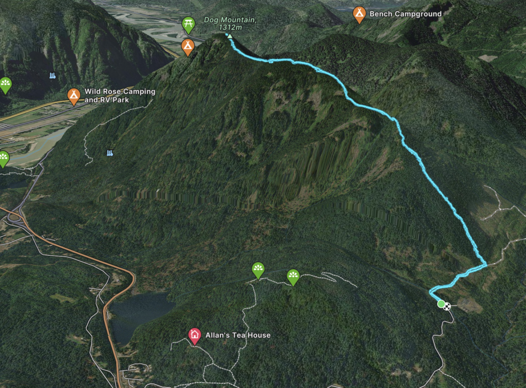
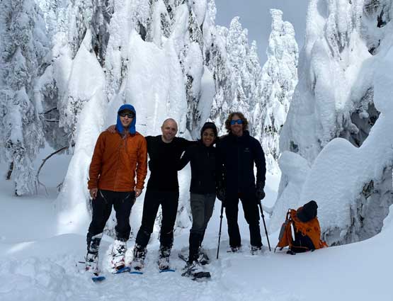
Dog Mountain is a somewhat obscure, albeit easily seen, summit near Hope BC. It’s immediately across the Fraser River from town and presents itself as steep, forested knob rising over 1000m above the river. Steven invited me along to join himself, Raphael and Nikita for trail breaking session to the top. In the previous weeks Matt Juhasz and Chris Gulka had made a direct ascent from the southern side. They booted directly up the steep south slopes and gained the summit with relative ease. That was our original plan too, but a recent snow fall had elevated the avalanche conditions and the south slope was looking less ideal. Thankfully, there’s an exploratory route that starts from the northern end and traverses the summit ridge line all the way south to the true summit. This route is quite a bit longer, but more guaranteed overall.
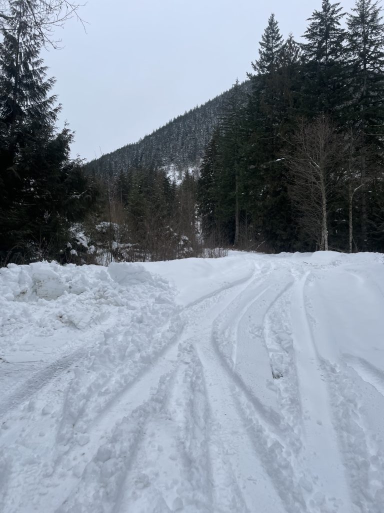
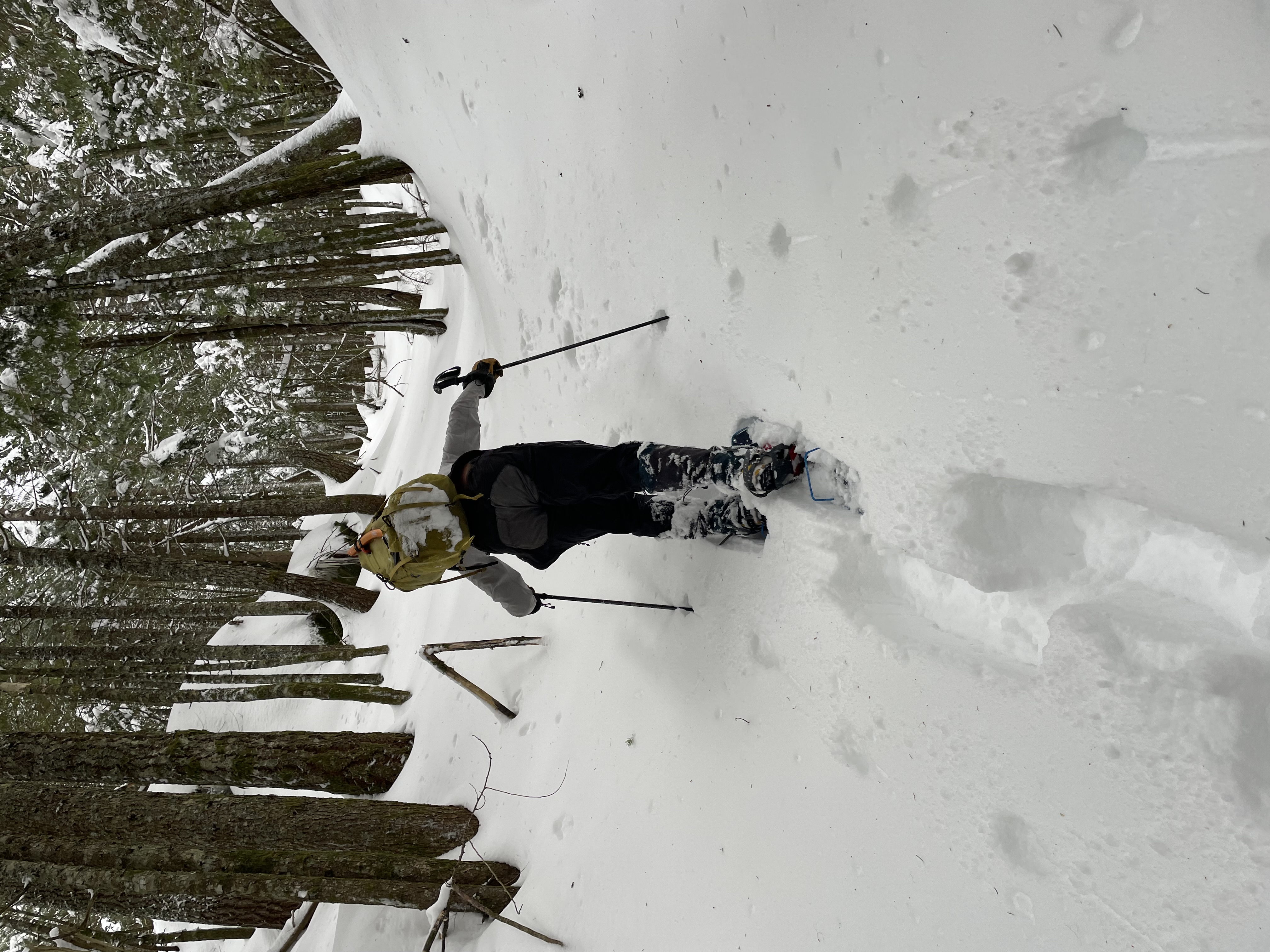
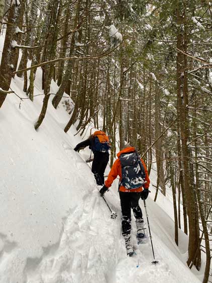
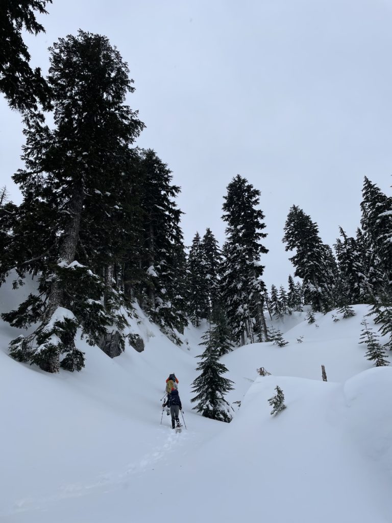
Everyone was on board, so on the Sunday we set off early and reached the snow covered approach by 7:30am. Steven managed to get us decently far up American Creek FSR, only hitting snow just before the substation at around 2km. From there we donned snow shoes are started our way down a small section of the road. Perhaps only a kilometer in we turned climber’s left and started to ascend the steep forest to gain the ridge line.

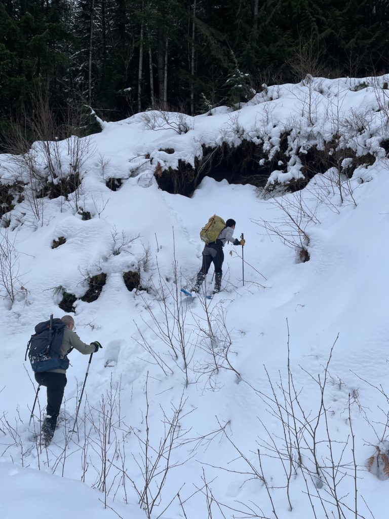
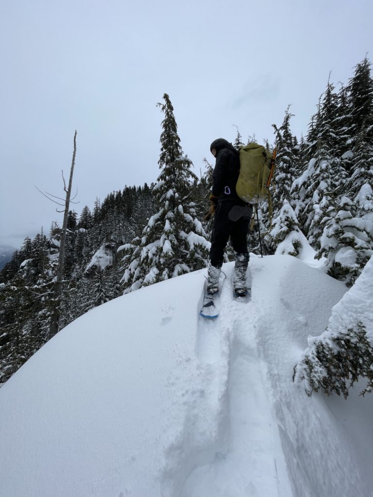
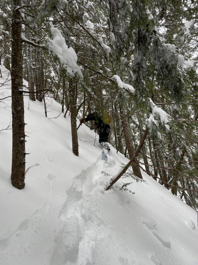
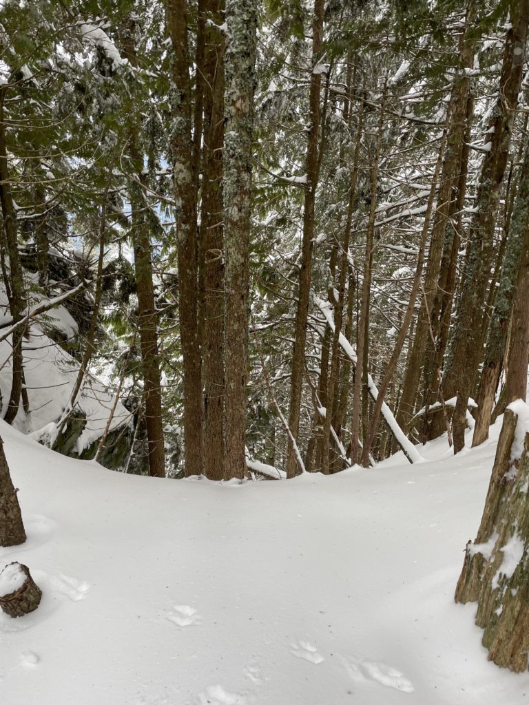
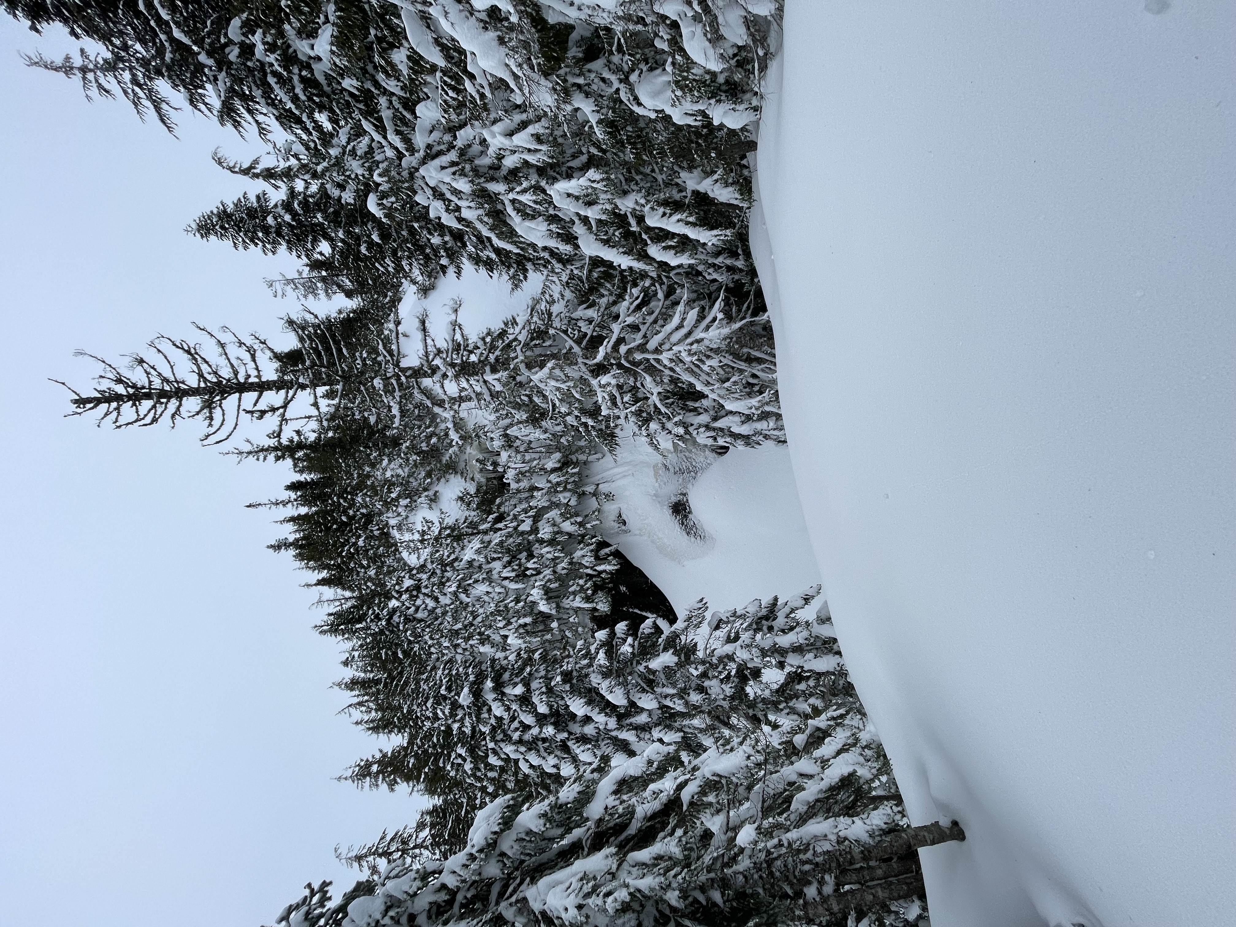
The route through the forest was laden with several large sections of dead fall, but we managed to negotiate through them without too much trouble. For the most part the ascent was easy, with only one tricky bypass around a bluff. As we reached the ridge, we realized there wasn’t an easy way to continue on the ridge proper. It was flanked by steep bluffs and that meant we’d have to continue traversing south west until we could find a break.

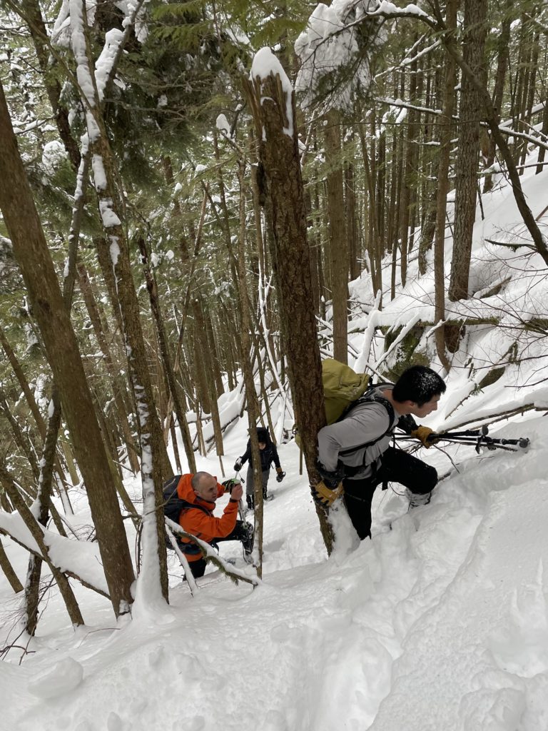
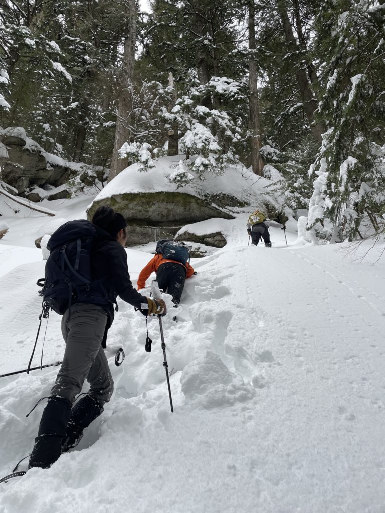
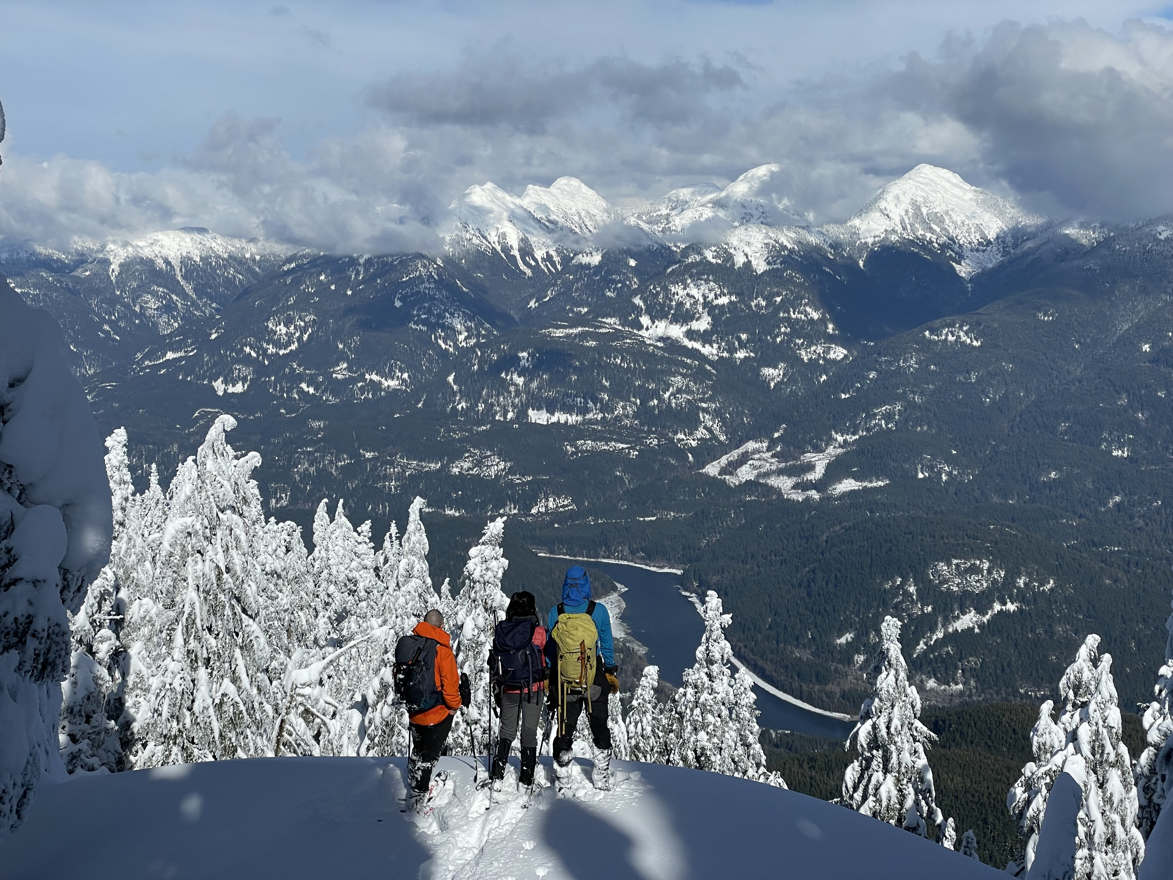
Our traverse lead us into a steep forested section, perhaps 40 degrees or more before we finally found a way on to the ridge. From here we had easy walking for a ways, before a large bluff segmented the next part of the ridge. We traversed climber’s left around the bluff onto more steep slopes and then it was a moderate plod all the way to the false summit.
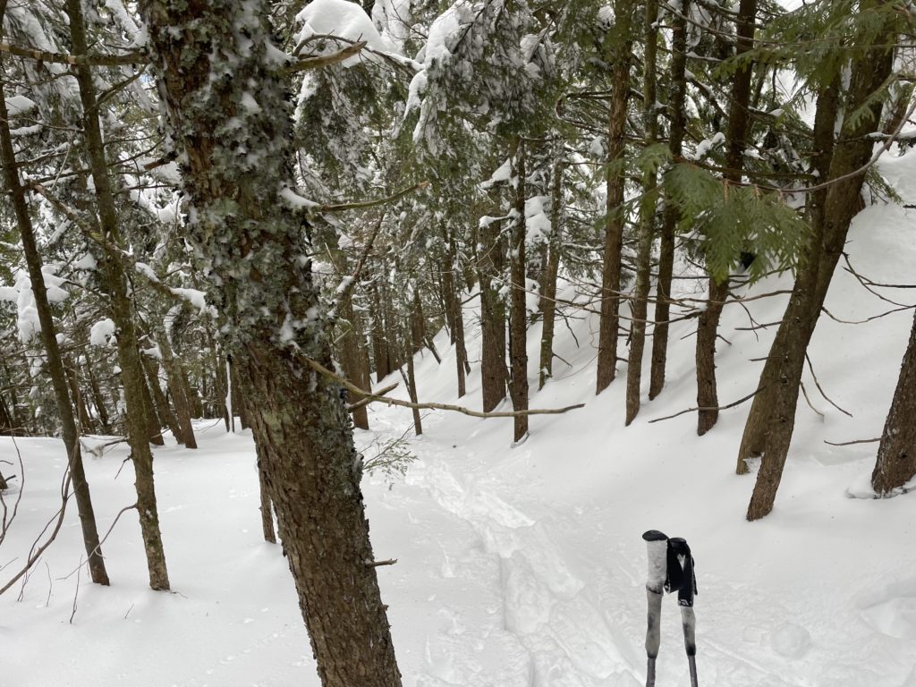
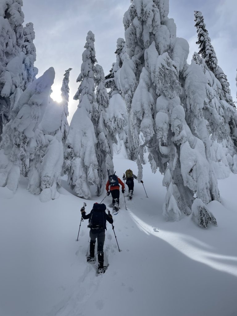
On the north end of the false summit we found a wind scoured and icy slope down to the col and opted to don crampons here. At the bottom we transitioned once again and then continued our ascent towards the true summit. The remainder of the route to the summit offered a serene powdery landscape that made for a pleasant ridge walk.
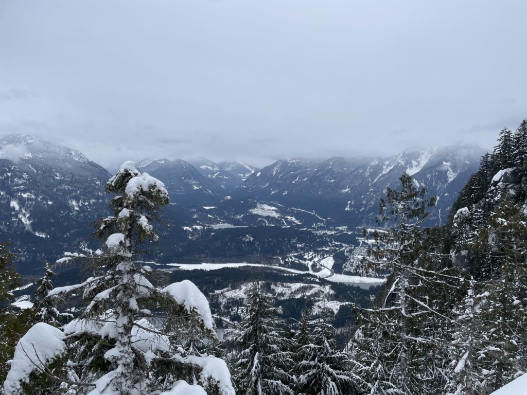
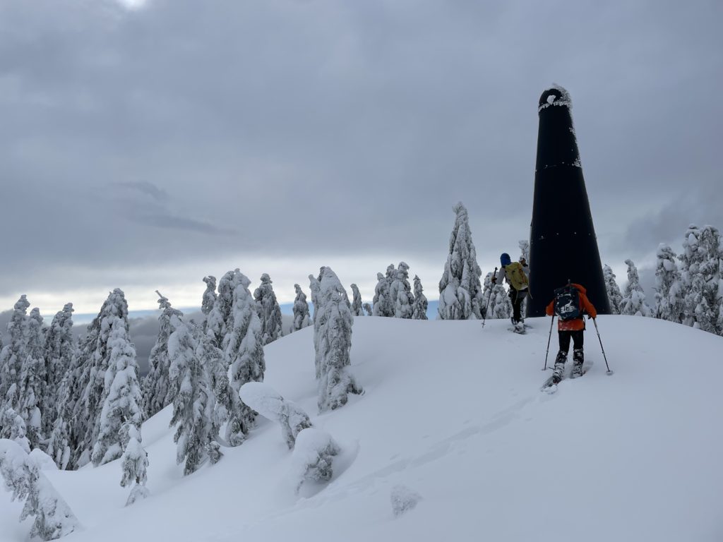
After 5 or so hours on the move we reached the summit at last. It took a bit of wandering to satisfactorily find the highest bump on this plateau and then we settled in for a quick snack break.


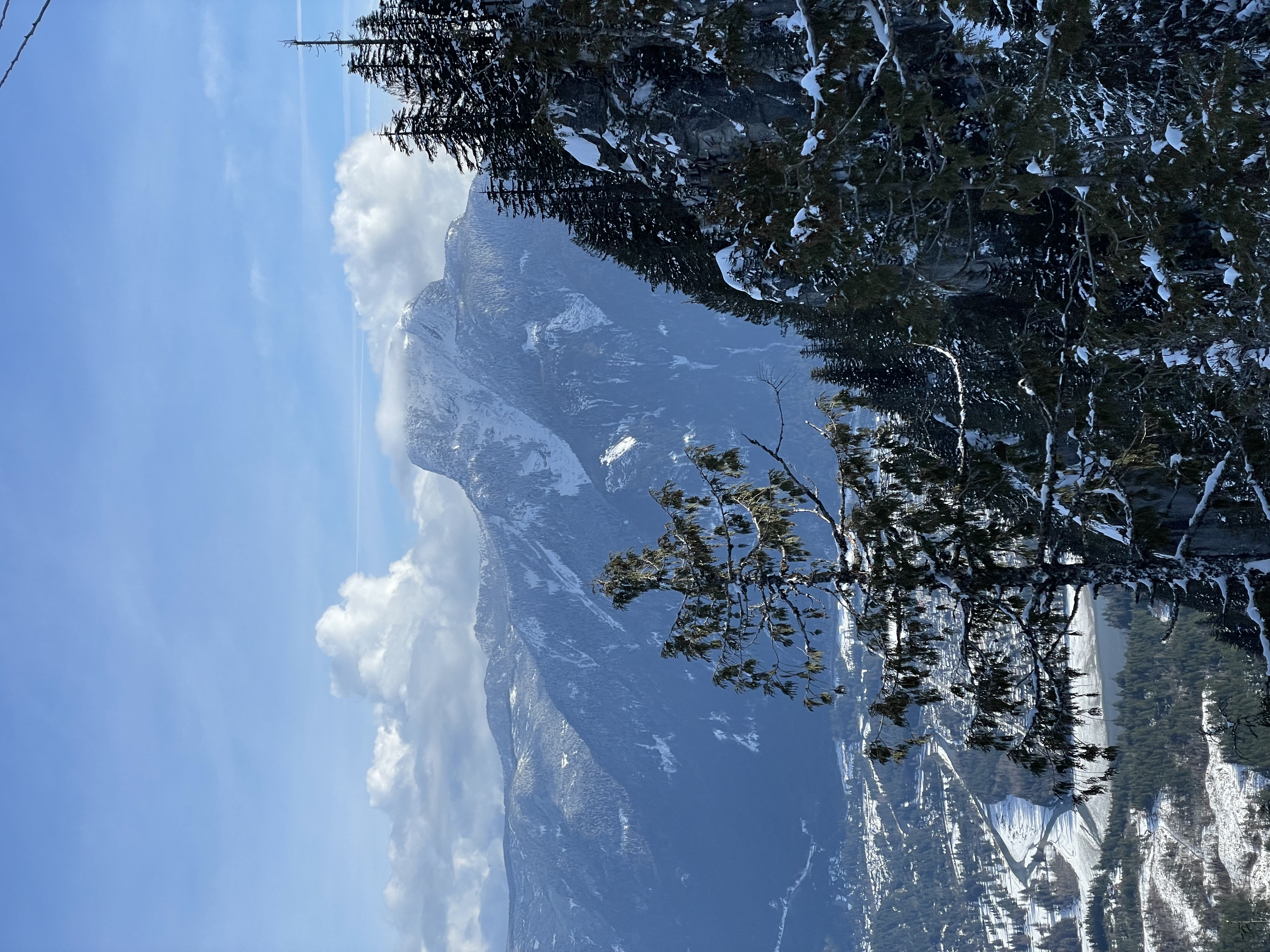
To head back, we reversed our tracks in good time towards the col. At the wind scoured section we kept our snow shoes on as ascending was easy enough. Once at the false summit it was just an exercise in auto-pilot; retracing our steps. I kept busy with the surrounding summits briefly becoming visible through the trees as we made our way down.

About 3 hours after leaving the summit we reached Steven’s truck again. A super nice day out with a good crew. It’s not a coveted summit by any means, but for a sub-optimal weather day, why not. Even on our tamer looking route, there’s still a good deal of avalanche terrain, so choose your day carefully.