Elevation Gain: 520m
Distance: 12.70km
Total Time: 5 hours 53 minutes
Date: December 26th, 2022
Mount Last is the name of the true summit that resides a few kilometers above Crystal Mountain Ski Resort, which only occupies the lower flanks. It’s apparently named after two local residents who owned the area where the ski resort currently resides. I wouldn’t normally seek too summit an obscure forested peak all the way out in Kelowna, however I happened to be there for the holidays. My friend Derek was looking to do some ski touring and that’s when the idea of touring around the Crystal Mountain came up. The resort has been shut down since 2014 due to a ski lift accident, which coincidentally I worked at as a snowboard instructor in my teens. Nostalgia aside, I wasn’t quite satisfied to do just a few short ski laps once I started looking for the actual summit. As it turns out, the resort isn’t near the summit and that would require an additional 3km+ to reach. Finally, I couldn’t find any beta on this summit and while it’s not an exciting one it further added to the allure.
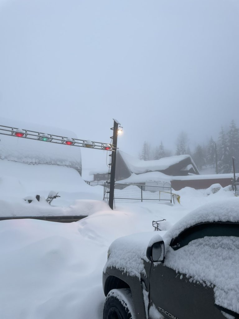
Derek and I left Kelowna around 8:30am after Christmas Day and drove our way up the plowed road under a light rain. As we pulled into the parking lot it was looking clear our day was going to be a wet one. The freezing level was forecasted at 1100m, but the precipitation was still falling as rain. Thankfully, it was light and we were ready to tough it out in the worst case.
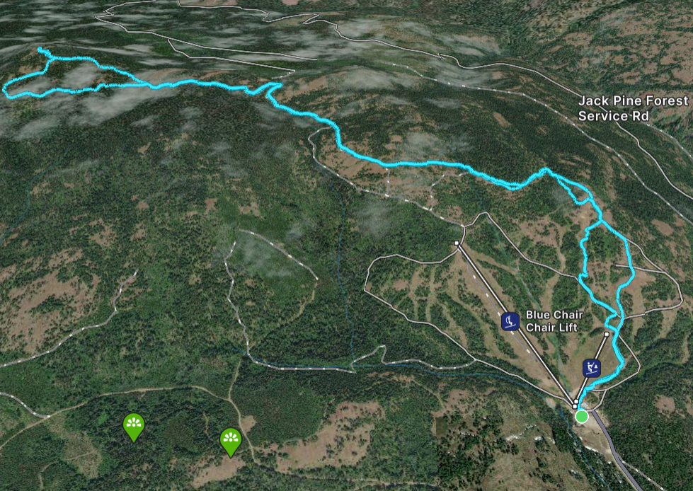
We left a suggested “donation” of $10 to tour the park and then headed up an existing set of skin tracks. It was clear the ski descent was going to be a challenge, thanks to a two inch rain crust, but we’d deal with that later. The skin up to the top of the resort was a quick one and now we needed to sort out the route to Mount Last. I had seen a service road that could connect us to within 300m of the summit so aimed for that on the map.
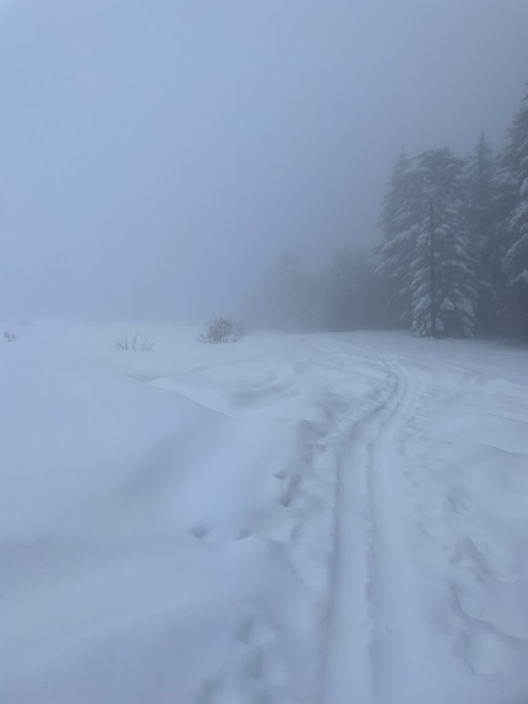
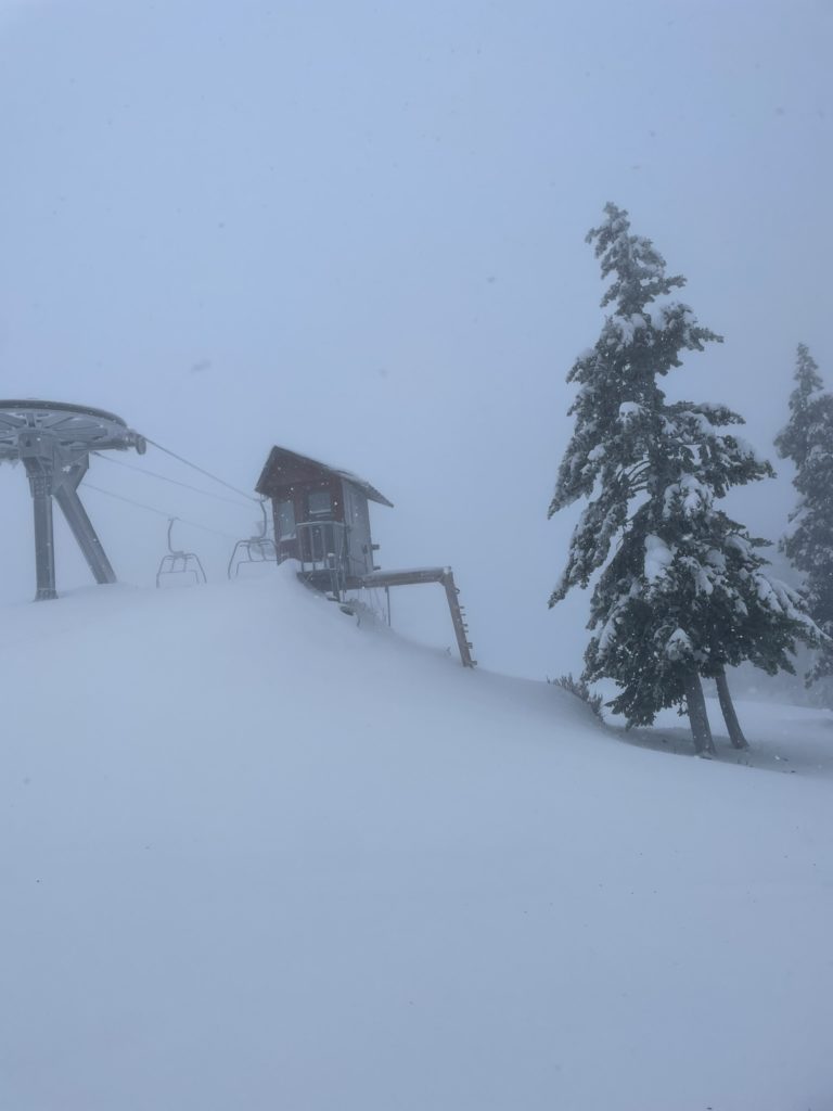
There wasn’t an obvious road to speak of, at least initially, but we eventually located it 30 to 40m beyond the last chair lift. From there we navigated along the road, which at times faded out and then would reappear again. At around one kilometer or so we took a shortcut to bypass unnecessary elevation loss contouring around a creek. We then linked up with the road again, but lost it on several more occasions. It seems much of the road has been reclaimed by nature or the mapping is inaccurate.
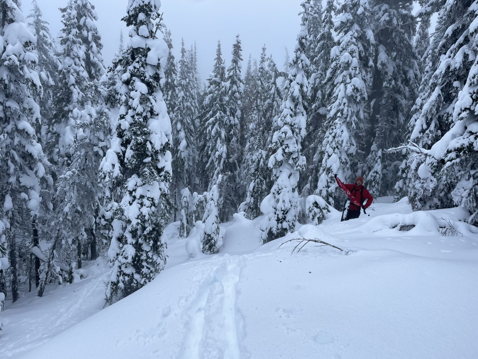
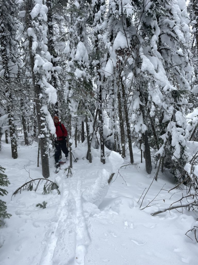
Either way, we made it to the 5km mark and decided to make a more direct line to the summit. An alternative was following the road further around the south to the summit, but it had been hard to track thus far and so we skipped it. The route through the forest involved dense sections of second growth trees, at times only a foot apart. Numerous sections of dead fall hampered our ascent, but after some groveling we broke out into an opening.
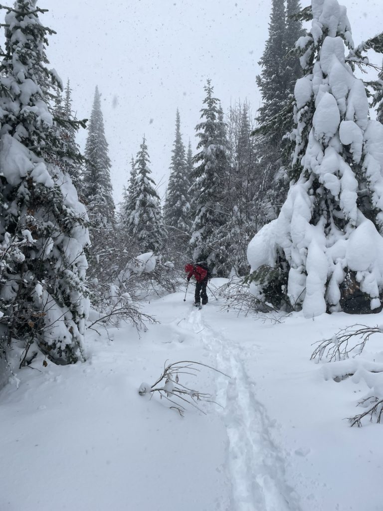
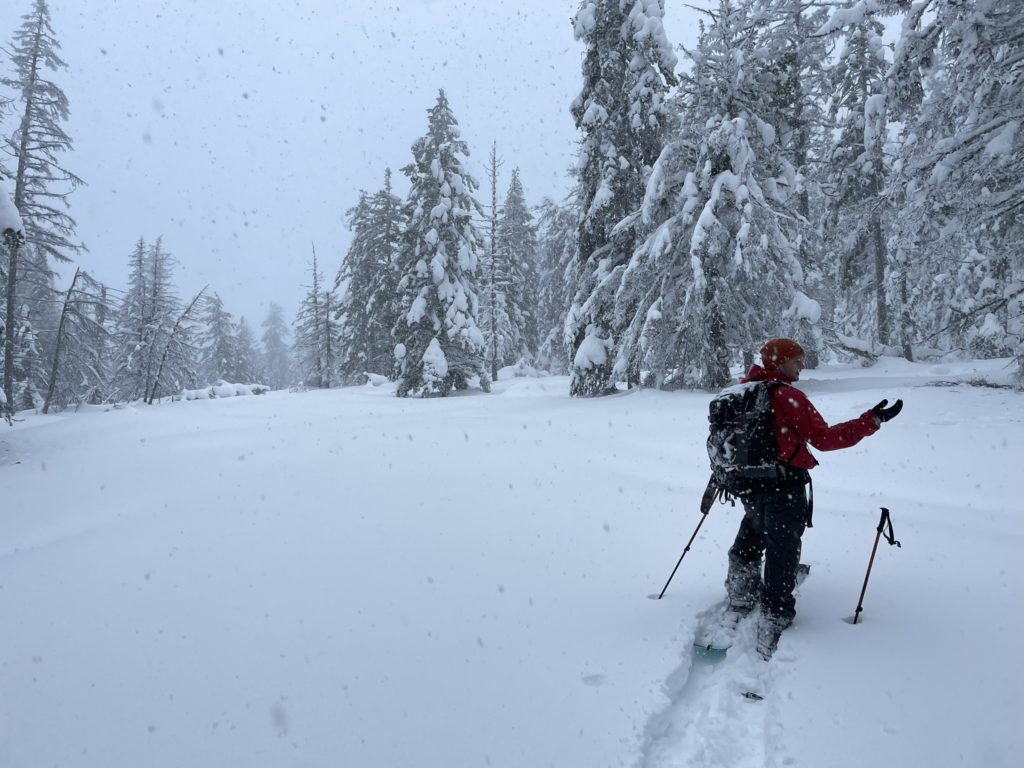
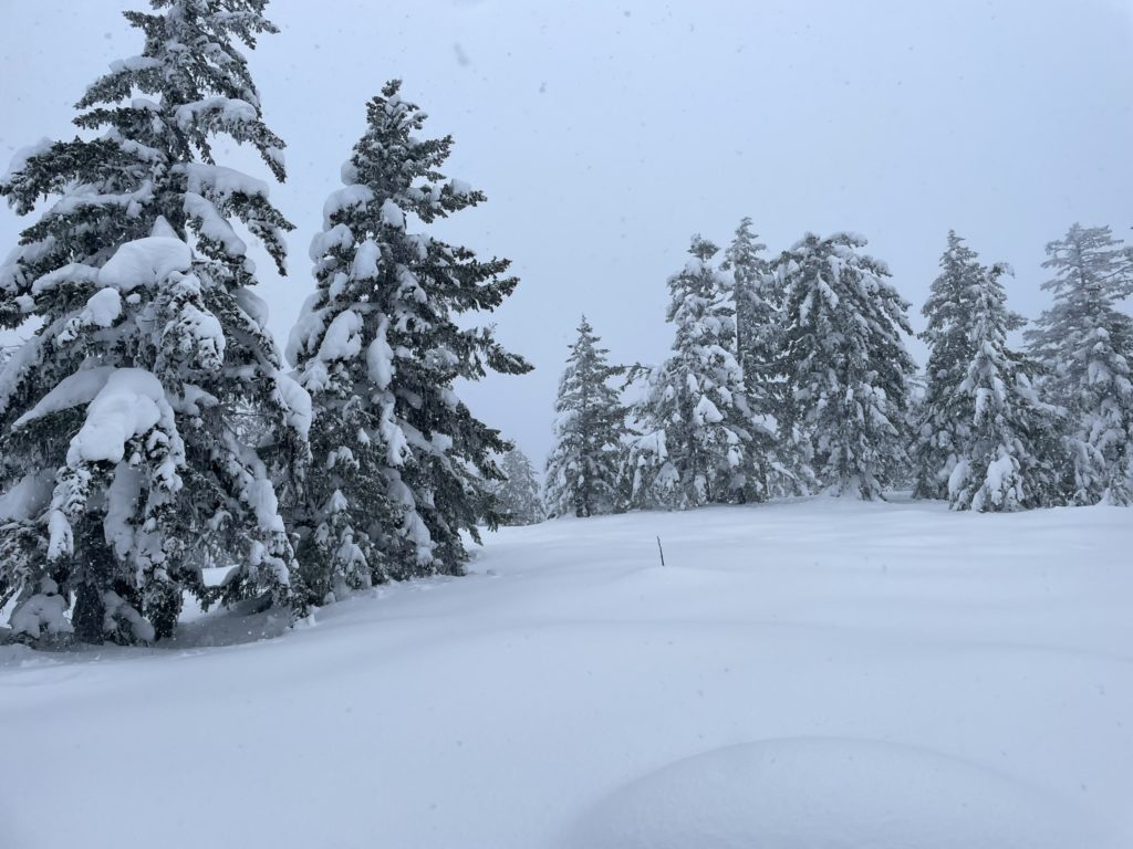
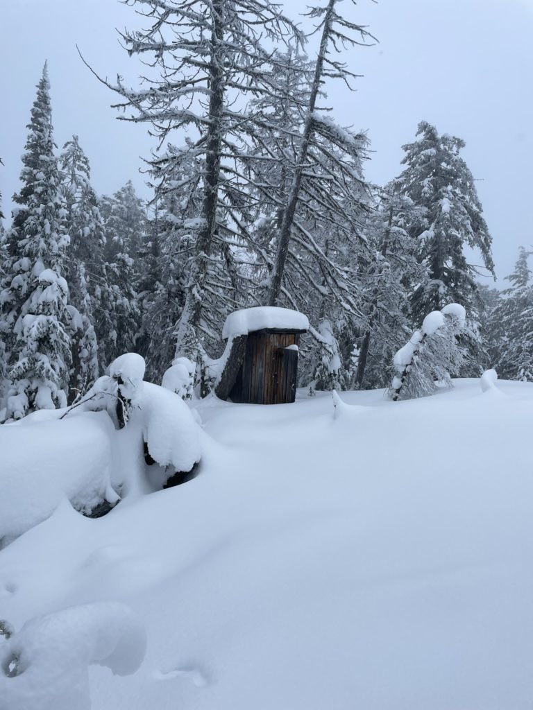
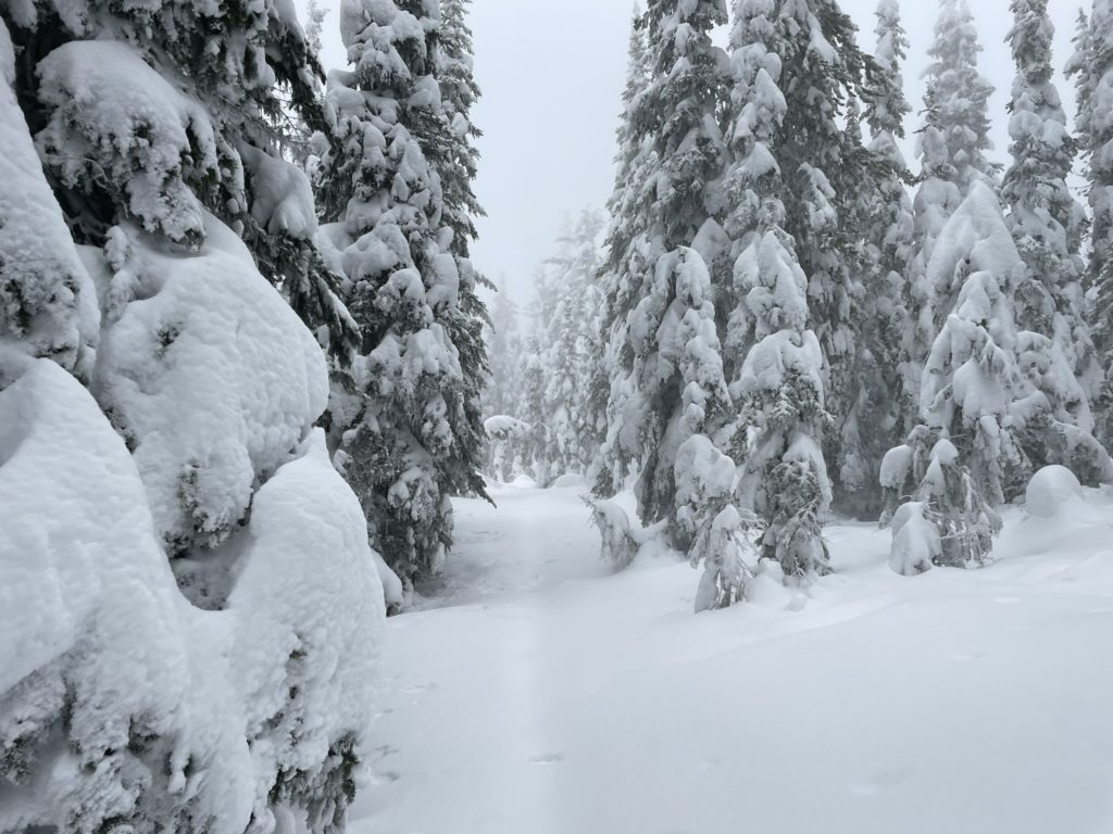
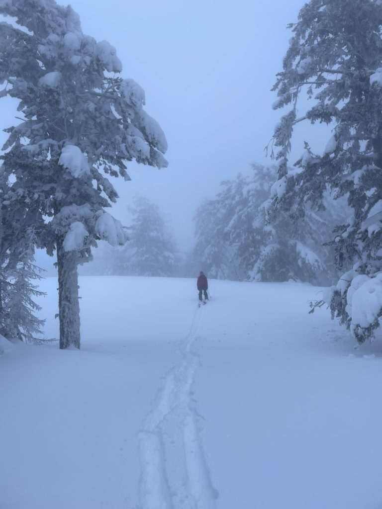
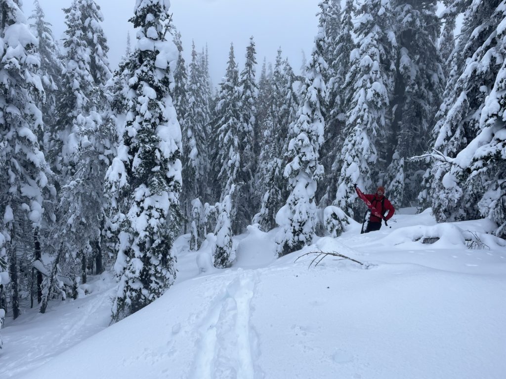
Looking around we appeared to be on the highest point. However, the map showed the summit marker further West and beyond that was a contour line that was higher than where we currently stood. I was not super confident that would net us a higher point, but I needed to rule out these two points as being the true summit or not. Derek was open to a bit more bushwhacking so off we went. We descended back into the forest and pushed past more tightly packed trees to the summit marker. This spot was much lower than our original high point, so we continued on to the highest contour line another 100m over.
After a bit more bushwhacking we reached another opening and that marked the highest contour line on the map. I checked my GPS elevation and it appeared to be a meter lower than our previous opening, however that’s well within the margin of error for my GPS. I was now content that we tagged both high points as it’s really not clear, to me at least, which is the true summit. We stopped for some lunch in a wind sheltered area and then headed back towards the first opening.
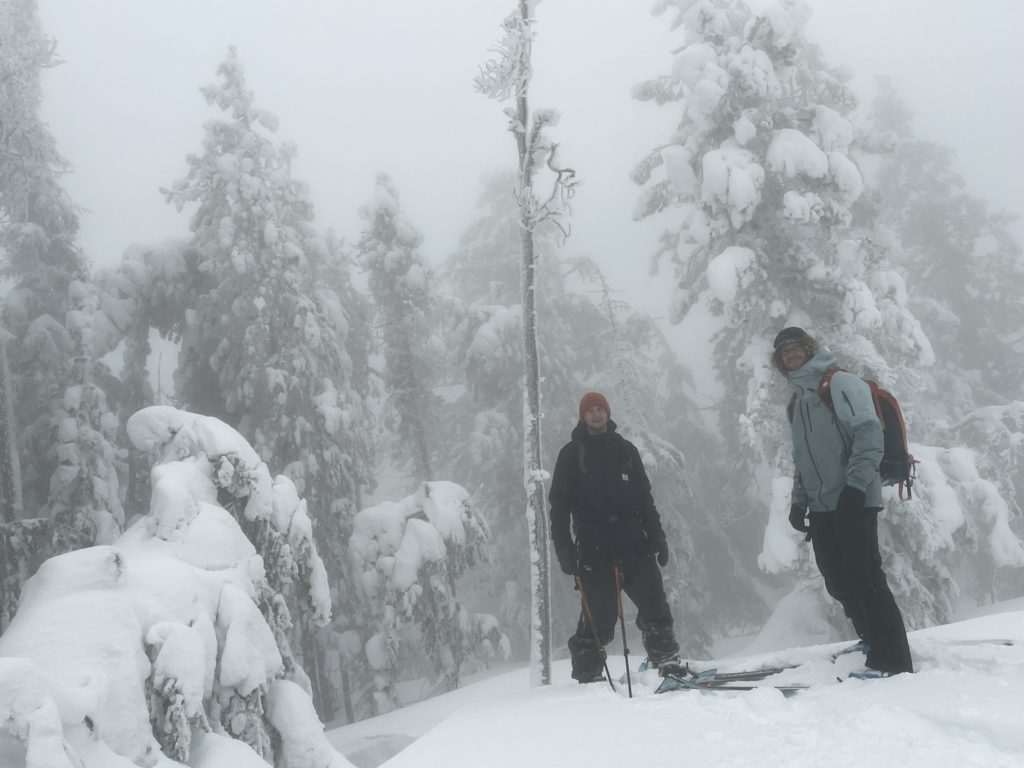
Neither of us was keen to bushwhack back to the road, so we decided to aim for the service road on the South side. It proved to be a bit tricky to find, but we eventually located what we thought was the road. We followed it for 100m or so and then lost it again. Another trip through more open forest netted us the road again, but now we had to reascend 30 to 40m to follow it. At the top of this gain, we lost the road only 20m in, but managed to find some old tracks further in the forest and just followed those. After a lot of extra faff we eventually reached our tracks again.
The choice between bushwhacking or a contrived service road walk is a tough one, but I think the service road is the slightly better choice as the forest is more open should you lose the road. With that out of the way, we continued on our tracks all the way to the ski lifts. Now we transitioned to ride downhill, but we knew this would be an interesting challenge.
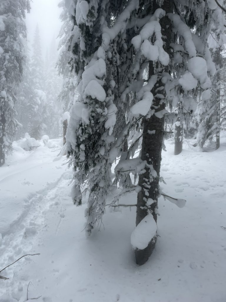
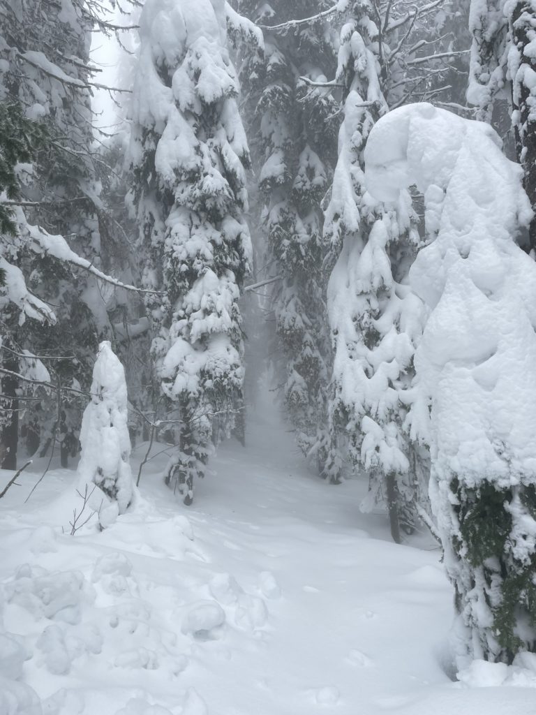
With both of us ready, we kicked off our ride down and quickly discovered the crusty hell that awaited us. On each attempt to turn my skis, nature rolled the dice to decide if it would suck my ski under, force it a random direction or push it further down the hill. It was a wild ride, but we I made it down with only one face plant to my name.
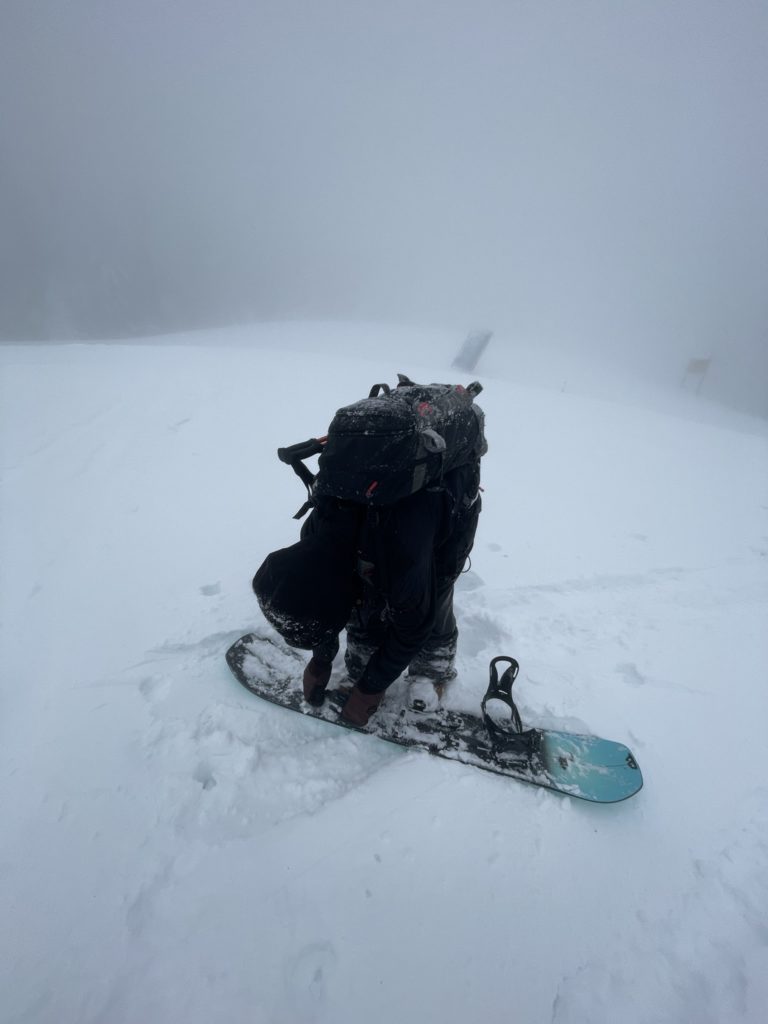
Now that we reached the parking lot, that finished off our adventure and it was a fun one at that. It’s always nice to be able to add some beta to an obscure peak and get some time out in the forest.
