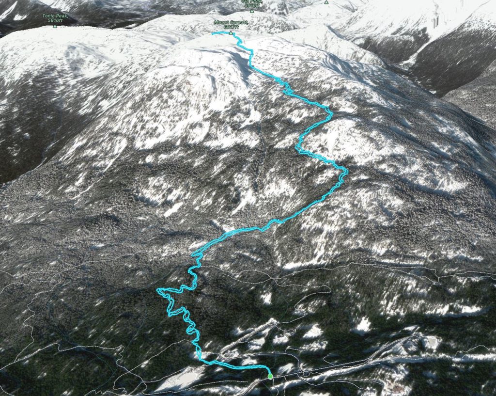
Elevation Gain: 1,094m
Distance: 12.70km
Total Time: 5 hours 45 minutes
Date: November 20th, 2022
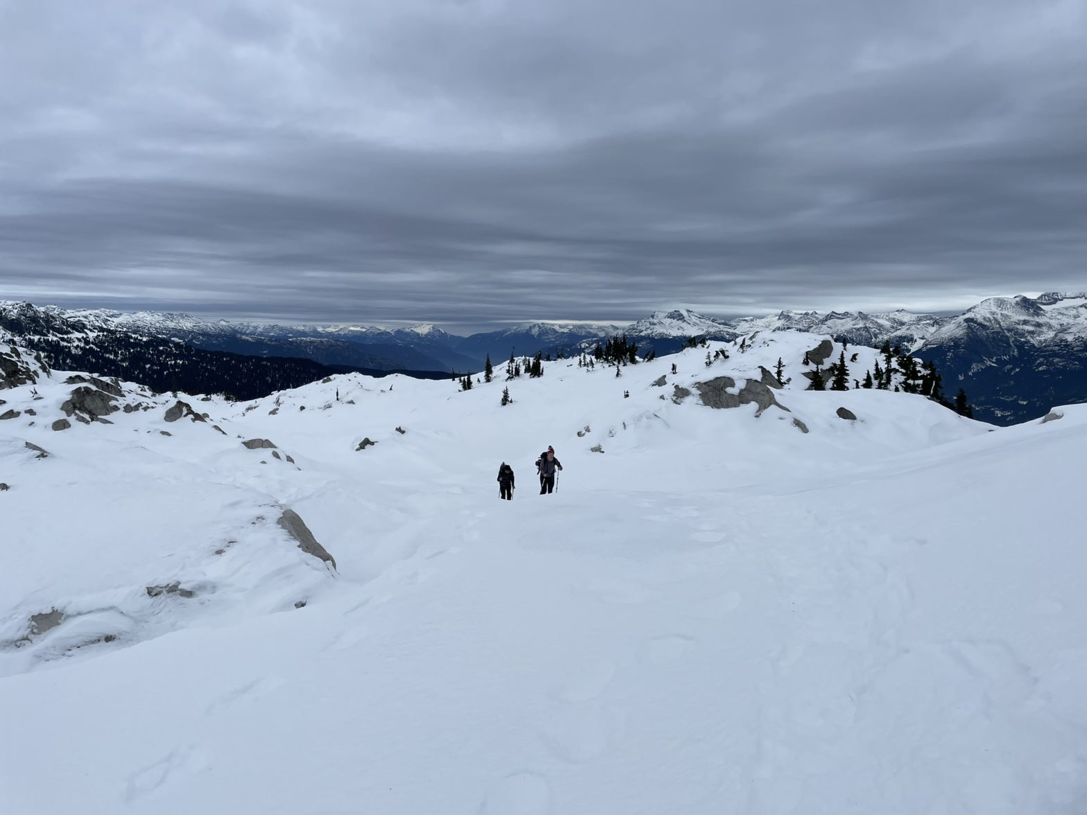
After two full on adventures up Rethel Mountain and Bryant Peak, I was looking to dial back the challenge and go for an easy fun summit somewhere. Just in time, Jacob had been asking about doing something together in the upcoming weekend, so we started searching around. Eventually, we landed on the idea of Mount Sproatt, which is a tame just-barely-alpine summit across from Whistler. Most of the ascent is through the forest and then there’s a short section of alpine that could in theory pose some avalanche hazards. However, a few members of SWBC Peak Baggers had been up there recently, so I knew the conditions would be in. Andrea was down to join as well so we made it a party of three.
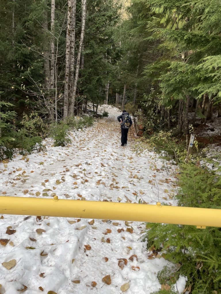
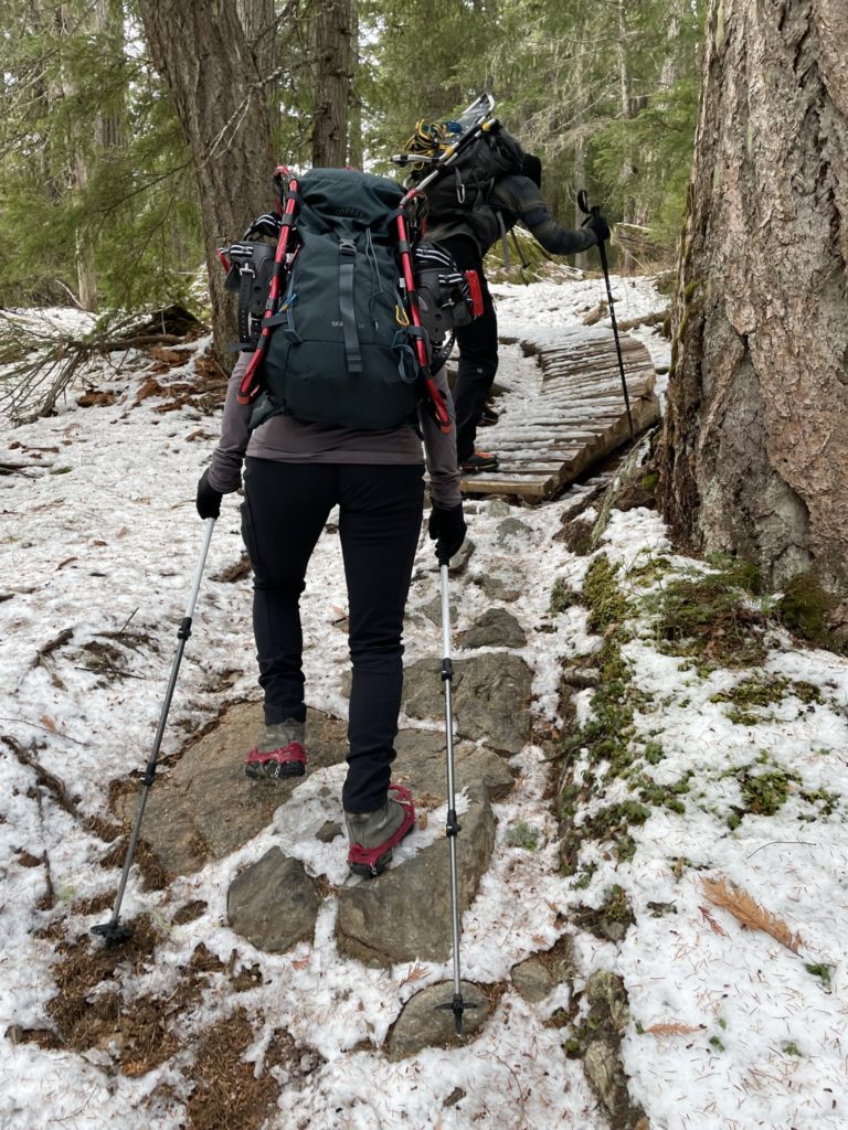
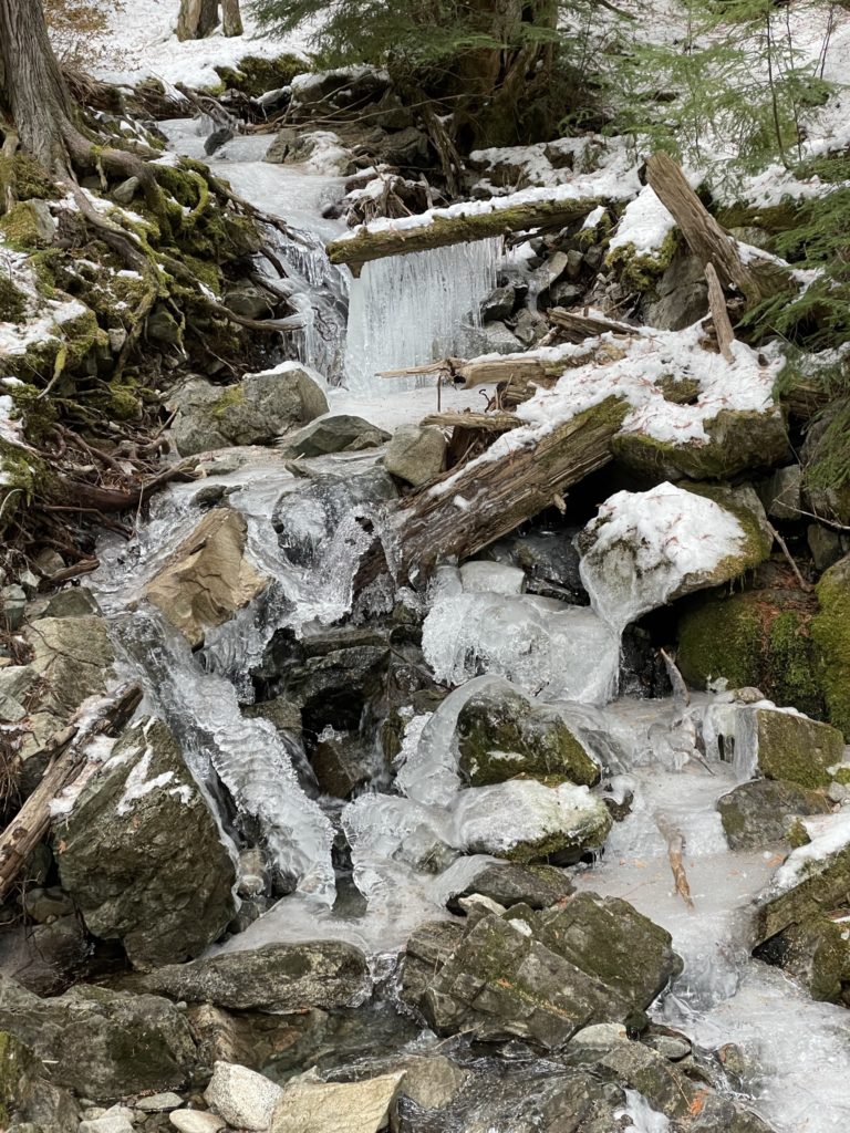
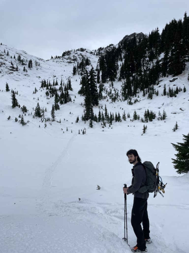
On the Sunday, Jacob drove us out from Vancouver and we made the turn off onto Alta Lake Road and then Stonebridge Drive. There was some confusion about where the trail head started, but after looping back we eventually figured it out. We headed down the short section of service road and, not liking the looks of the switch backs, made a direct cut across an undeveloped lot. This saved us a few hundred meters of walking and we rejoined the trail with ease. The route then meandered for quite a ways up through the tame forest and along icicle laden creeks. As we gained elevation, the path became quite treacherous with a thin layer of ice covering huge swathes. Andrea and Jacob had micro spikes and made easy work of it, but all I had were cramp ons. I was too lazy to pull them out, so just dealt with the extra precautions on each step.
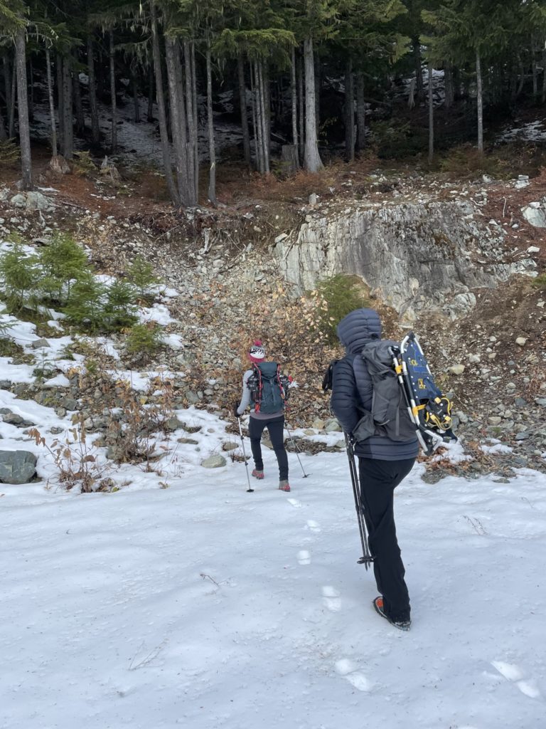
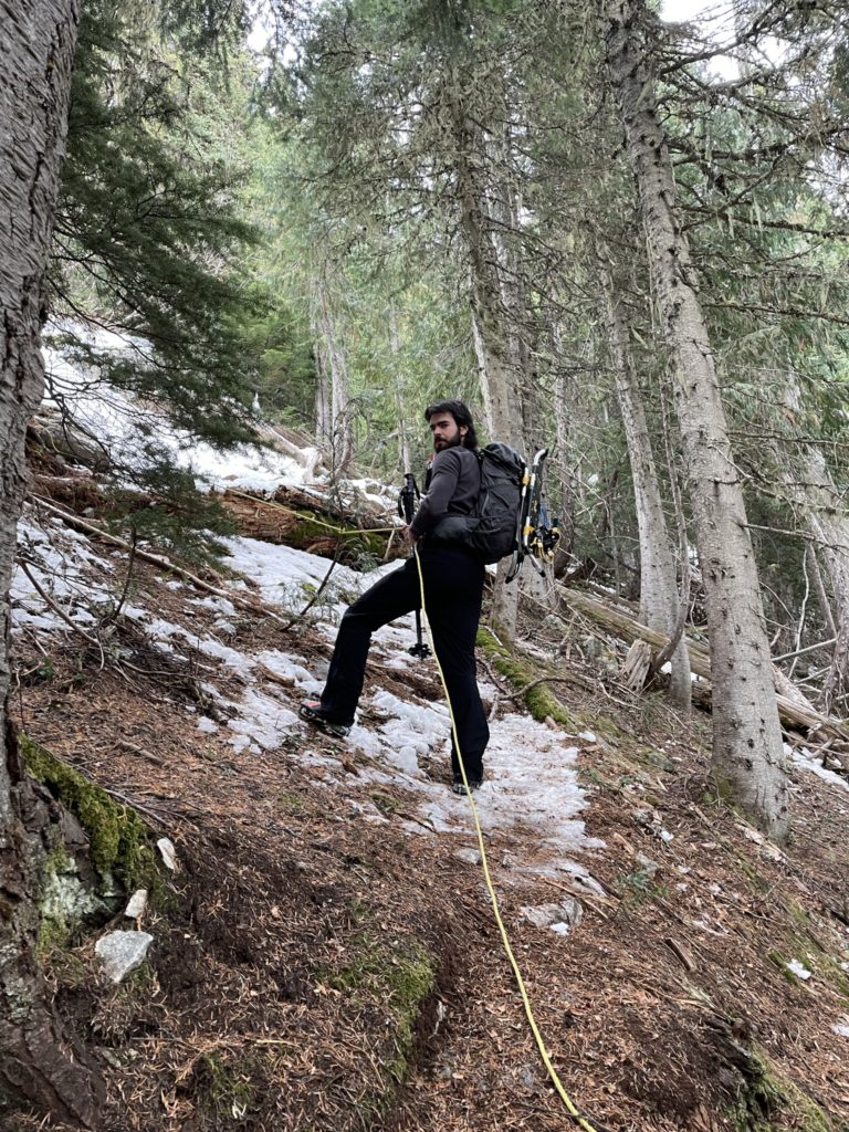
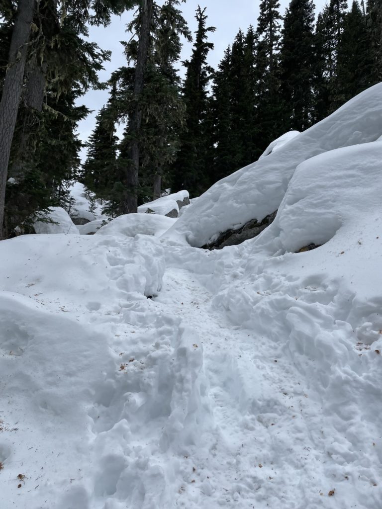
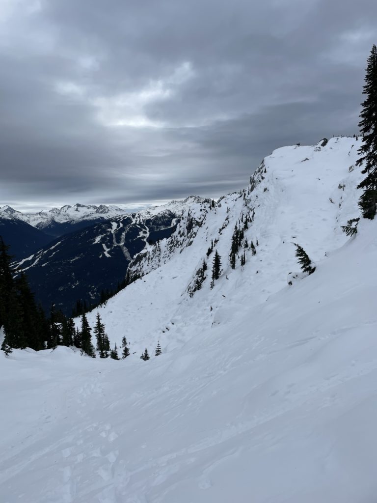
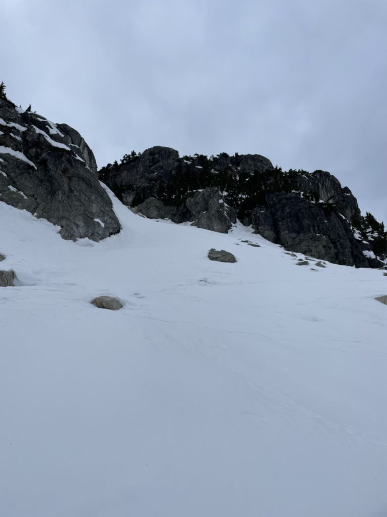
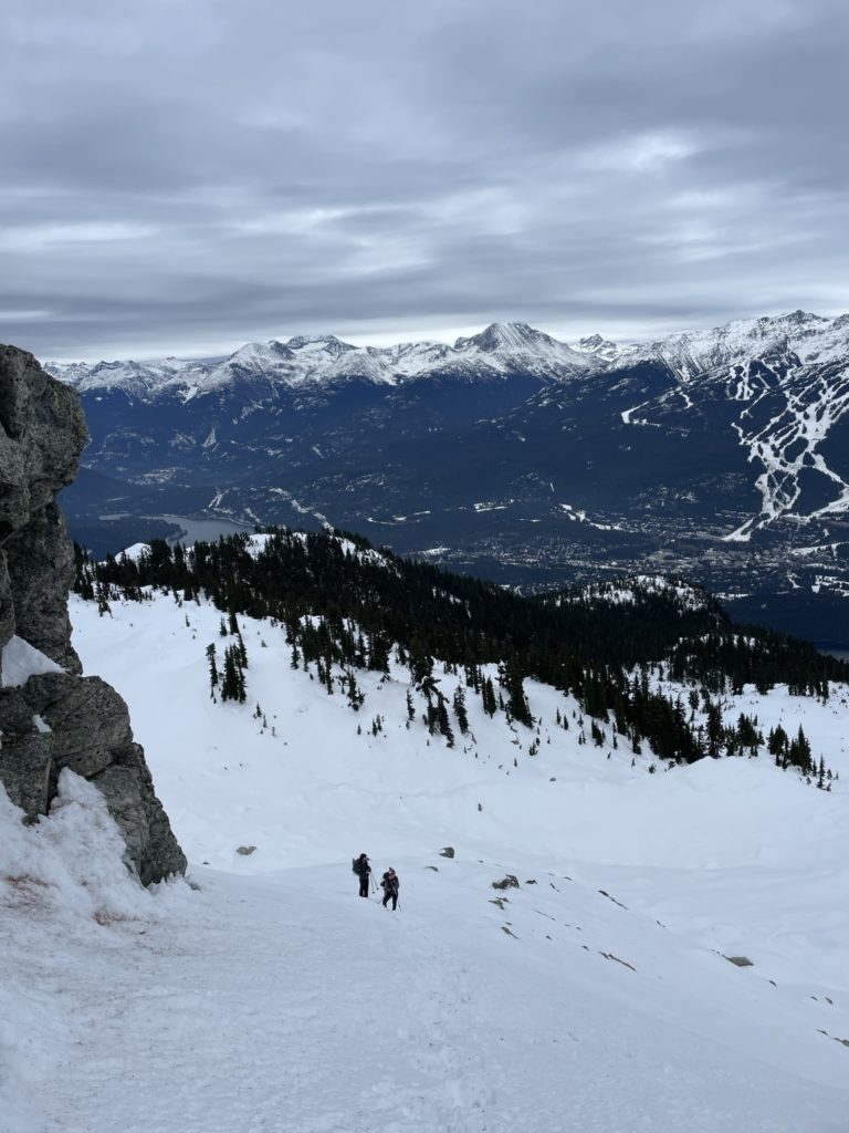
Eventually we reached the first signs of alpine at around 1650m. The forest gradually gave way to steep bluffs, but an obvious route lay before us. There had been quite a bit of traffic in the past few days, so we just had to follow the “yellow brick road” so to speak. This took us up to the base of a moderate and short snow slope on Sproatt’s east face. From here we ascended up packed out kick steps until topping out on the broad summit plateau. The GPS shows this area as the summit, but one can visually see that’s not quite accurate. Again we followed the high way of steps around to the southern side of the summit and located the true high point near the radio repeater tower at the top.
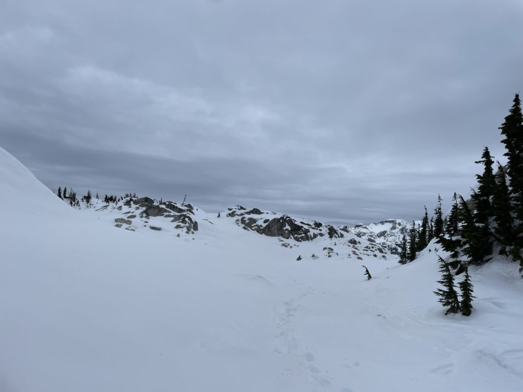
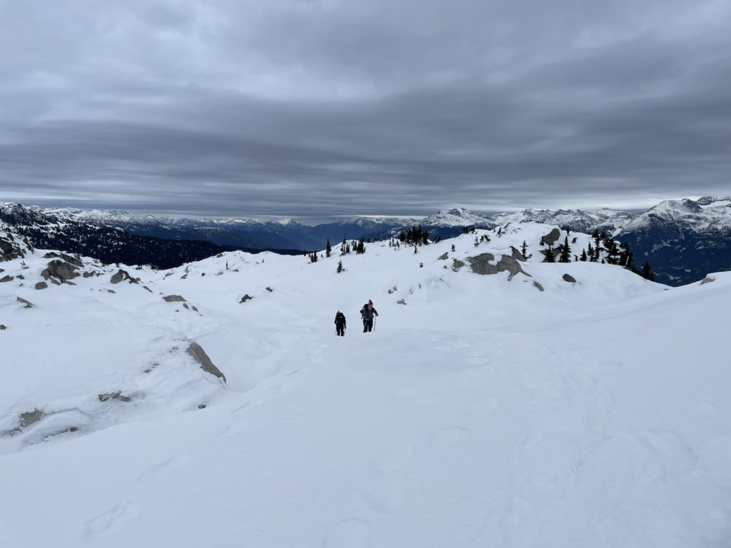
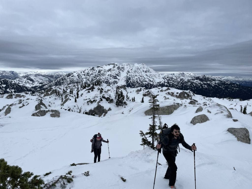
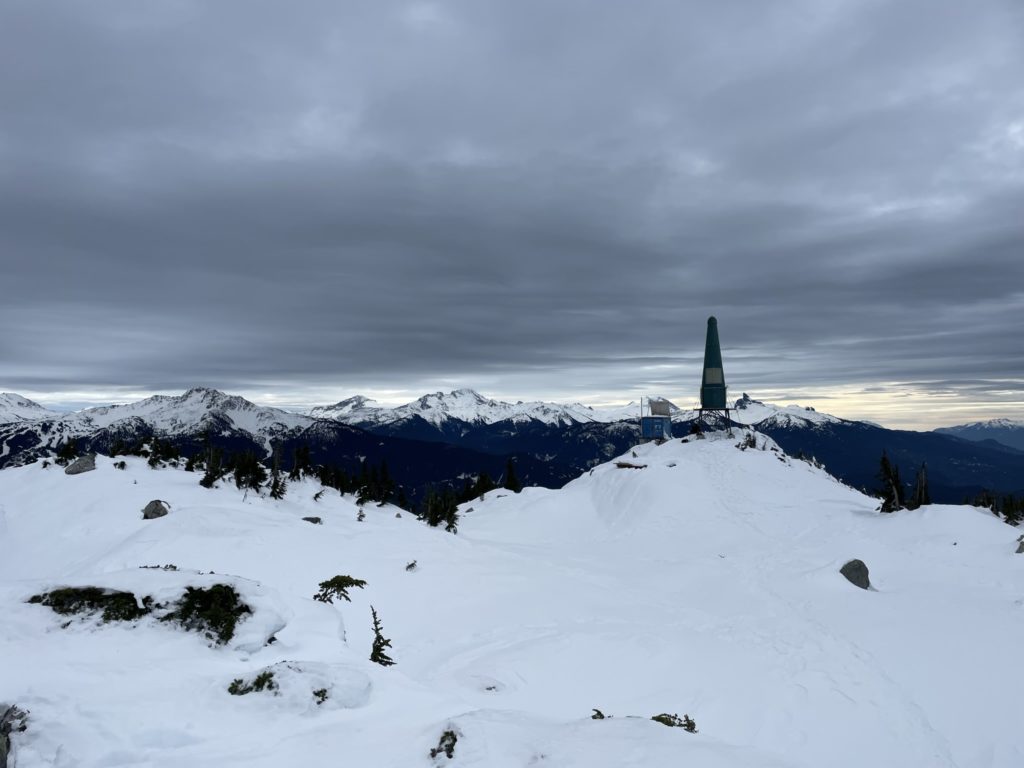
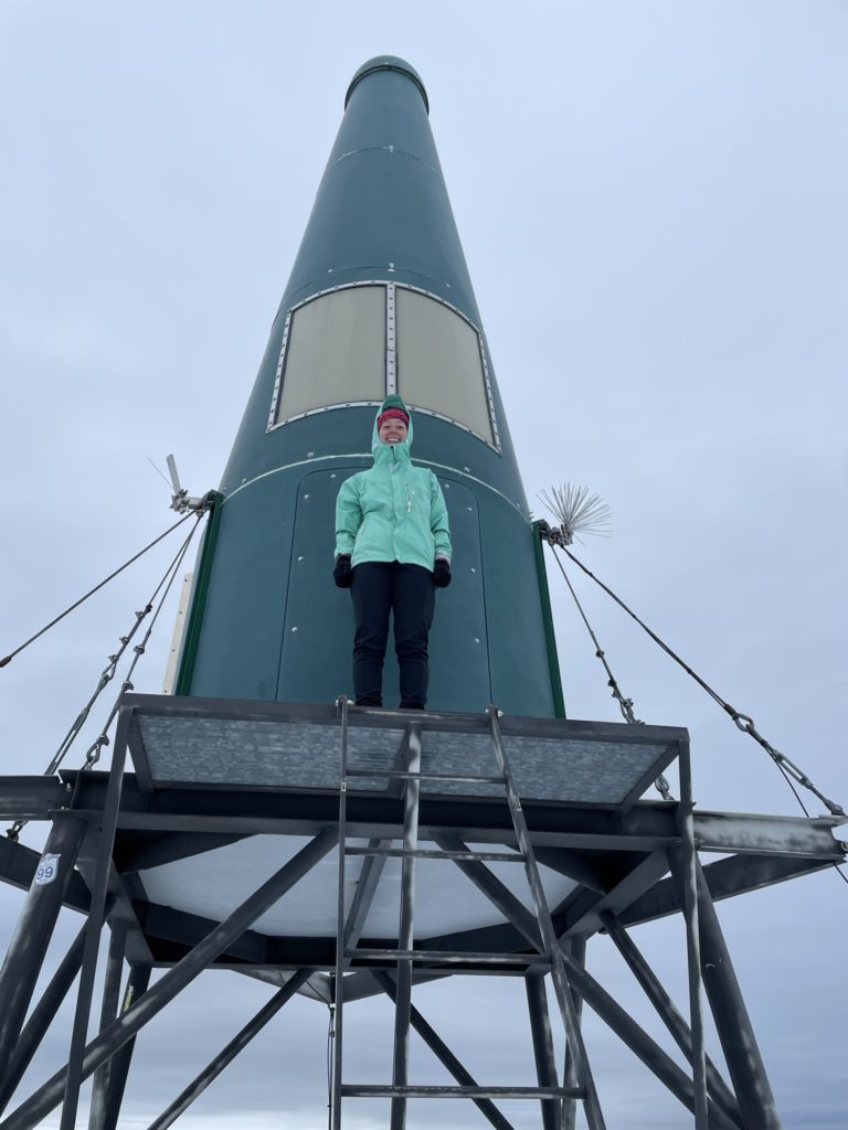
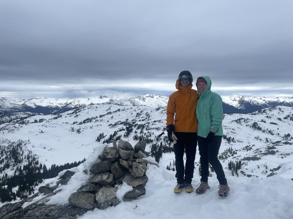
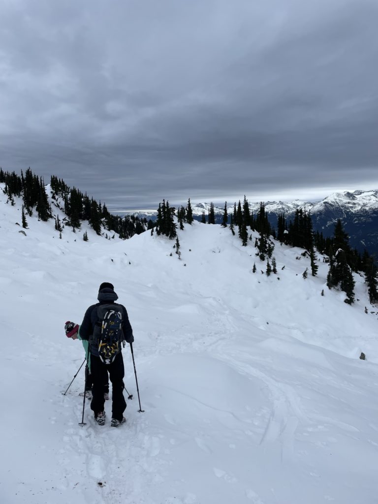
A party of two was just finishing up a break on the summit as we settled in for some snacks. We didn’t end up staying for long either though as the wind had a bit of a bite at the top. On descent, we followed our existing tracks, except this time I donned cramp ons for the way down. This made the forest descent especially easy and now I had the advantage over the microspikes. Albeit a bit over kill. We made it back to the car before long and that concluded a nice adventure out. Exactly what I was looking for in a chill outing.
