
Elevation Gain: 959m
Distance: 11.77km
Total Time: 4 hours 8 minutes
Date: October 8th, 2022
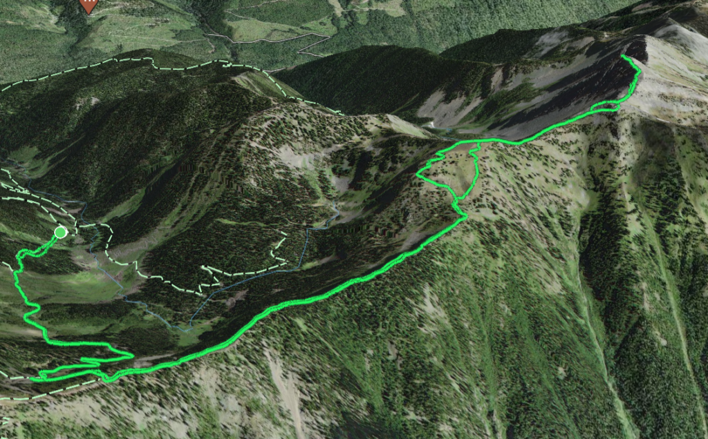
Andrea and I were starting off our month long U.S. road trip with a family Thanksgiving stopover in Kaslo. Nestled deep in the Kootenay area, Kaslo is in close proximity to a number of amazing summits and ranges and we really wanted to take advantage of that. We only had a few days and needed an easy outing, so my family suggested a popular local summit called Texas Peak. It’s located in between Kaslo and New Denver and can be accessed via the Stenson Creek FSR. I did a quick search for some beta and found a few trip reports showing a 4KM (one way) ridge ramble with a short road walk. It looked perfect.
After a quick stop over in town for some coffee and a peek at the Farmer’s Market, Andrea and I made the 30 minute drive towards the base of Stenson Creek. We then drove for ~10km up the winding and well maintained road until reaching a junction at around 1850m. Unfortunately, the trip reports I had loaded on my phone didn’t load correctly and now were left guessing the correct route. Luckily we had downloaded maps offline and it looked like the road before us went straight to a ridge line that would then traverse to the summit. The road looked drivable so, up we went. We only made it 300m up before hitting a big washout and had to reverse course. I was borrowing my mom’s truck and while I do think it could make it, it wasn’t my truck to risk so I took the conservative option.
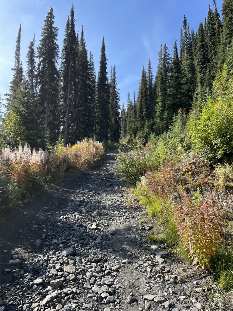
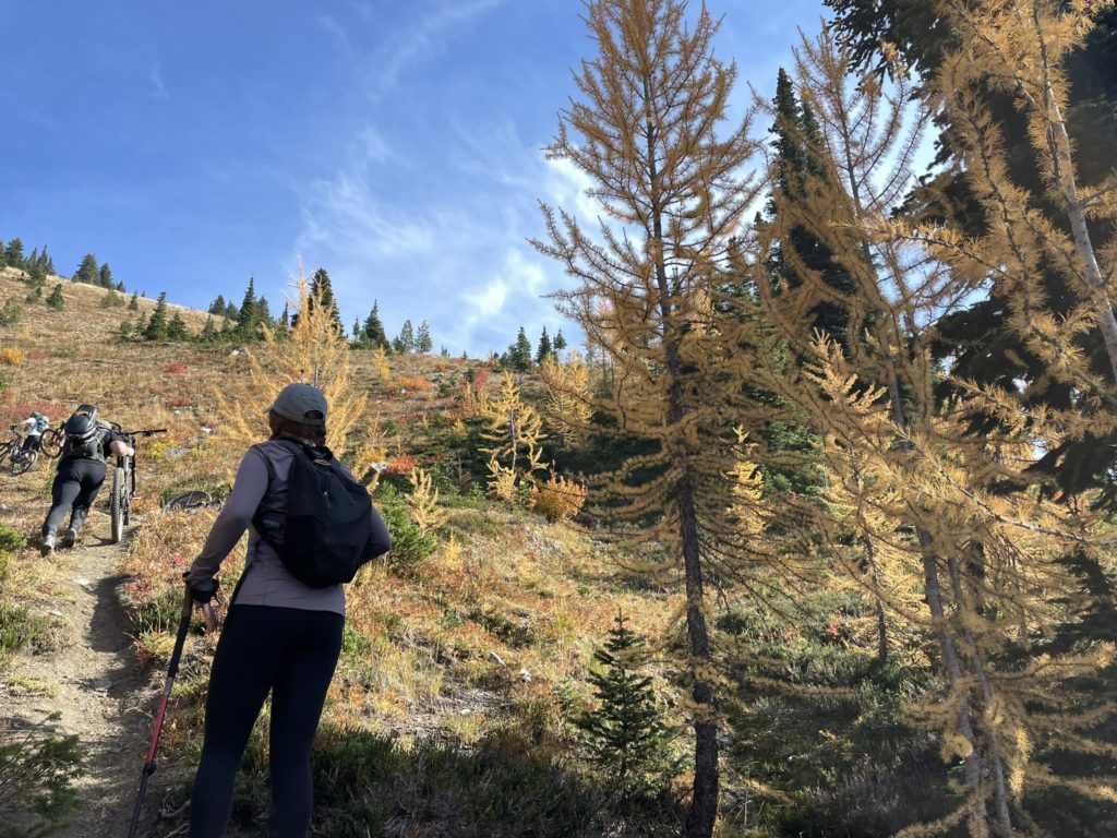
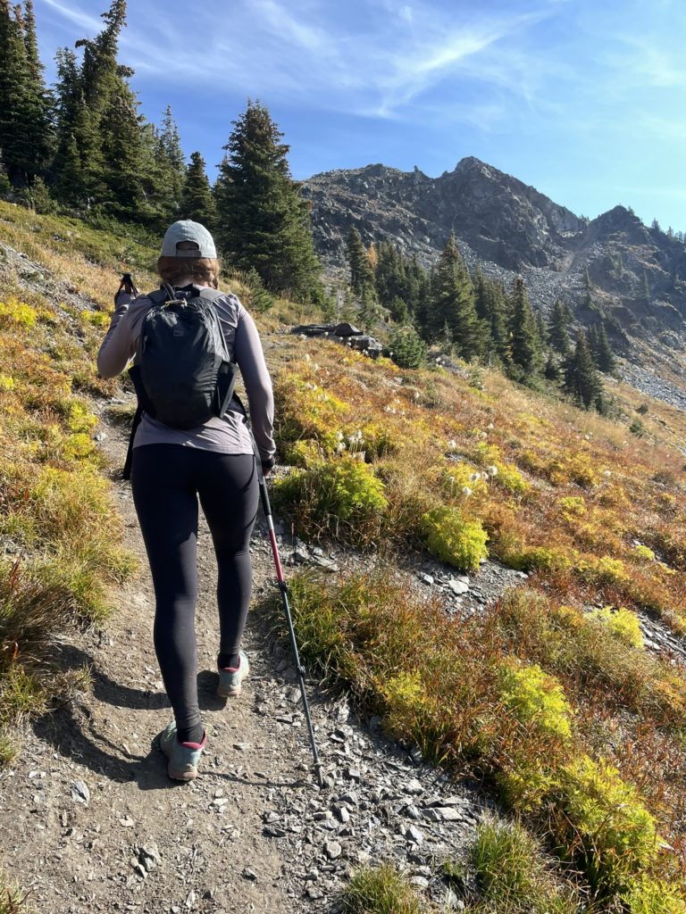
Andrea and found a parking spot around 1850m and then just walked up the road from there. After we passed the washout, the road returned to near perfect condition and in hindsight we could have easily made it. Oh well, nothing wrong with a bit more distance along some beautiful landscape. The road continued for about 2km and then we reached a washed out spur at climber’s left and decided to short cut it to the ridge from there. Sure enough, at the top of the spur we located a very well-trodden path on the ridge and it appears this was the correct route after all.
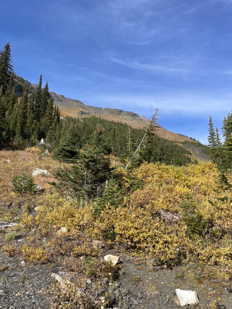
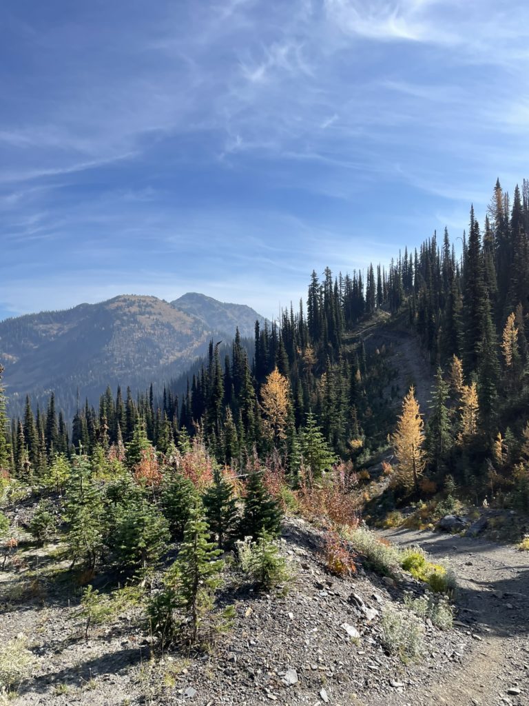
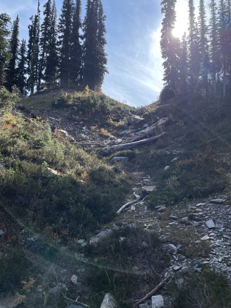
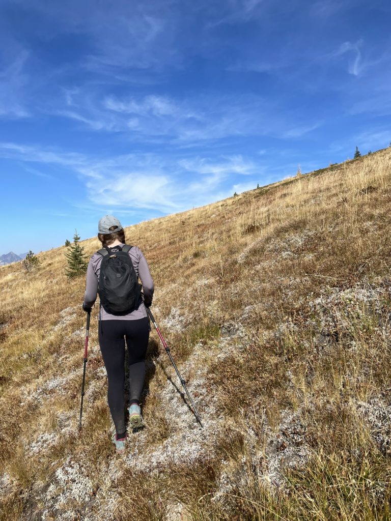
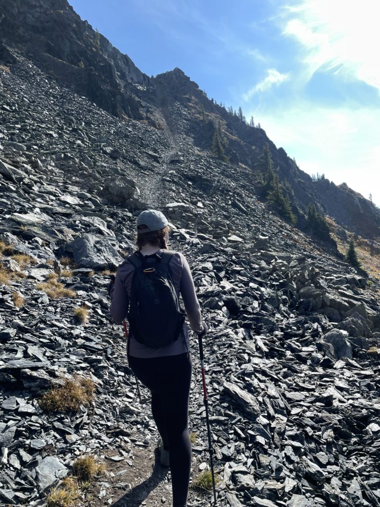
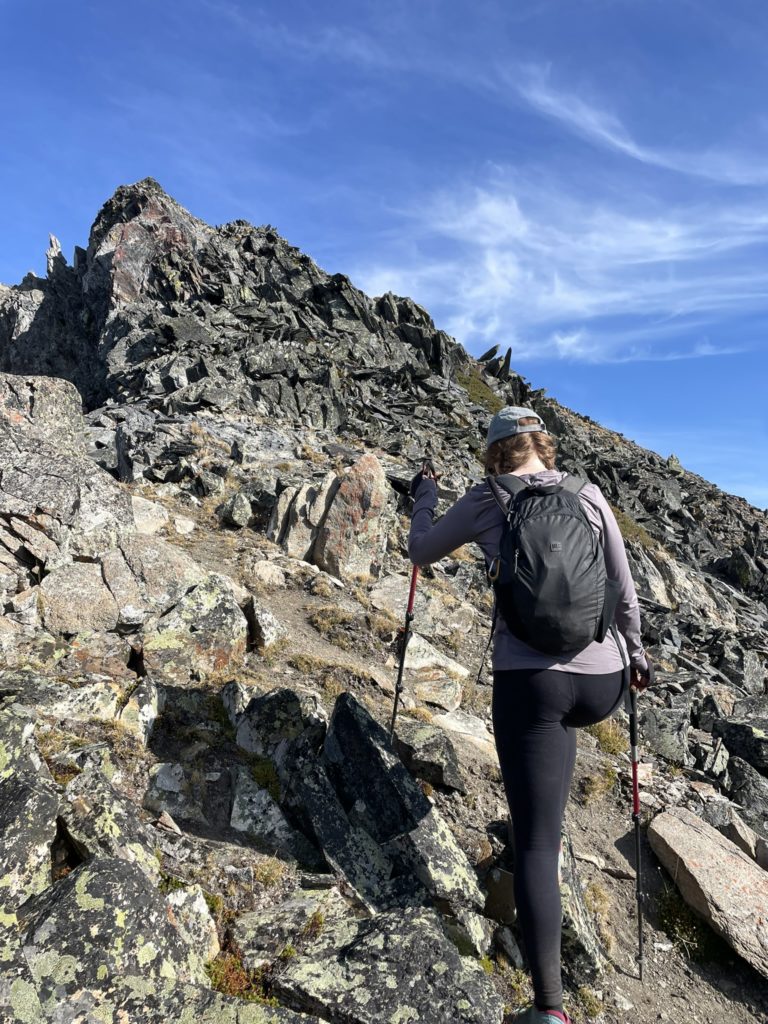
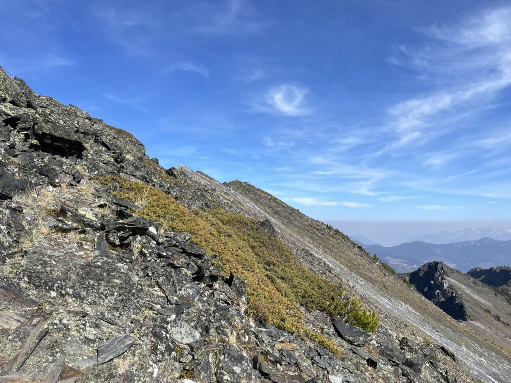
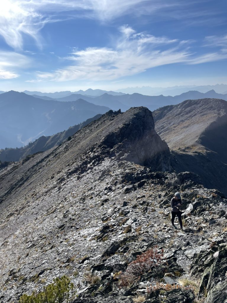
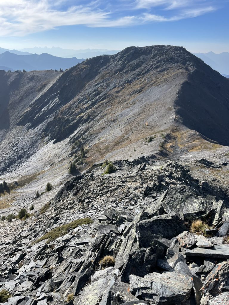
Once on the ridge, we traversed ~1.1km to the base of a ridge high point. Along the way we ran into a large group of mountain bikers also heading to Texas Peak. Near the base of the ridge high point, they cut climber’s left to a bike trail to gain the high point, while Andrea and I opted to just hike straight up and over; off trail. From the top of the ridge we had a good view of Texas Peak and a closer false summit sometimes called “West Texas Peak”. We hiked down the ridge, up “West Texas Peak” and then paused for a quick snack. Then it was just a short 5-600m hiking up to Texas Peak along the west ridge. There was a bit of 2nd class scrambling, but very easy terrain to go up.
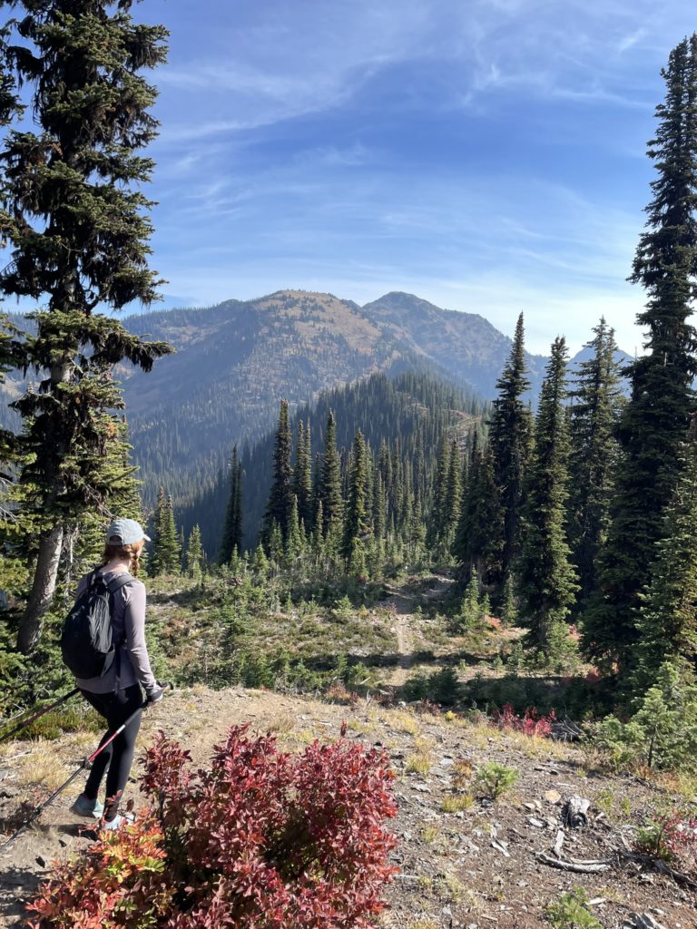
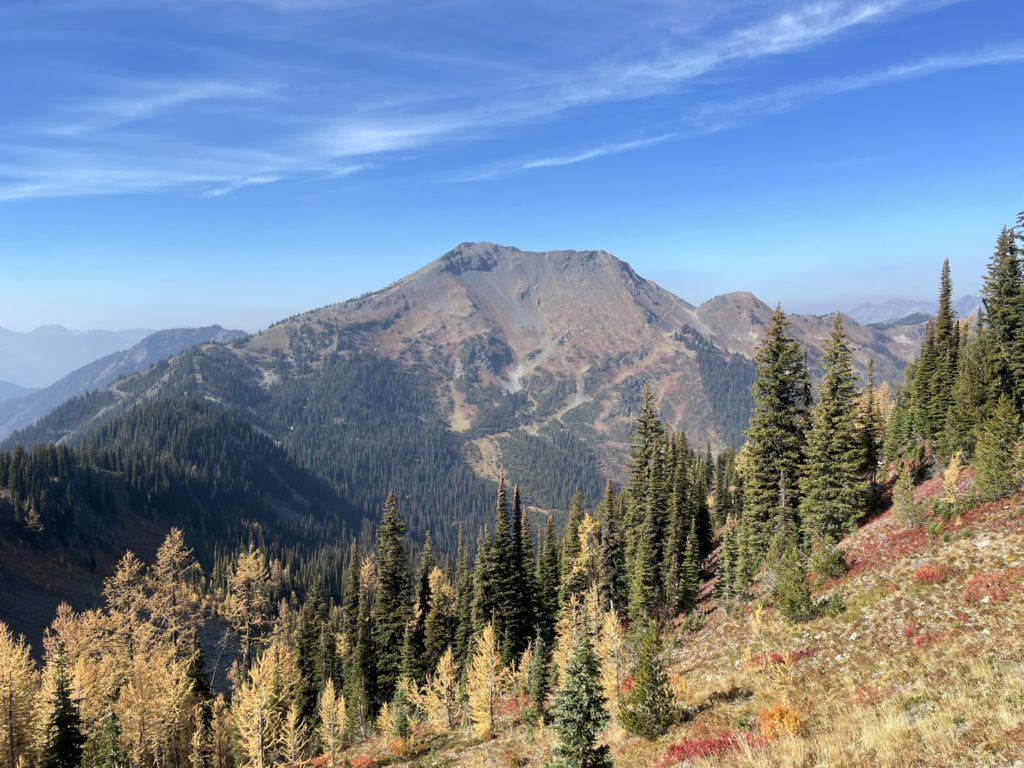
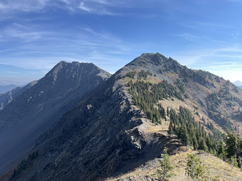
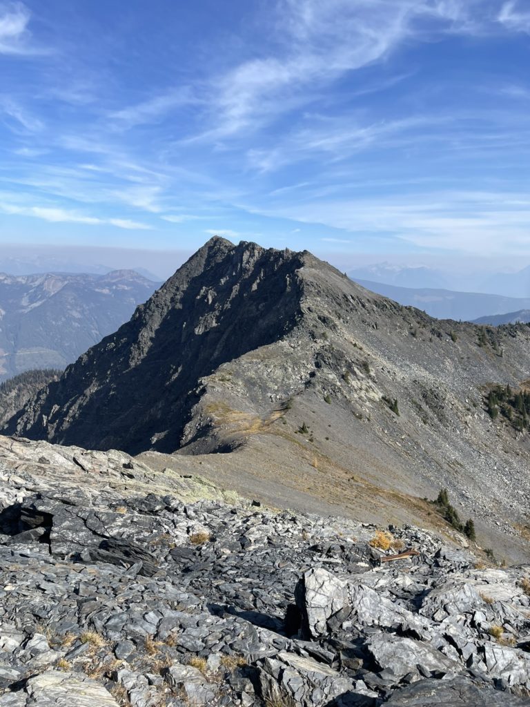
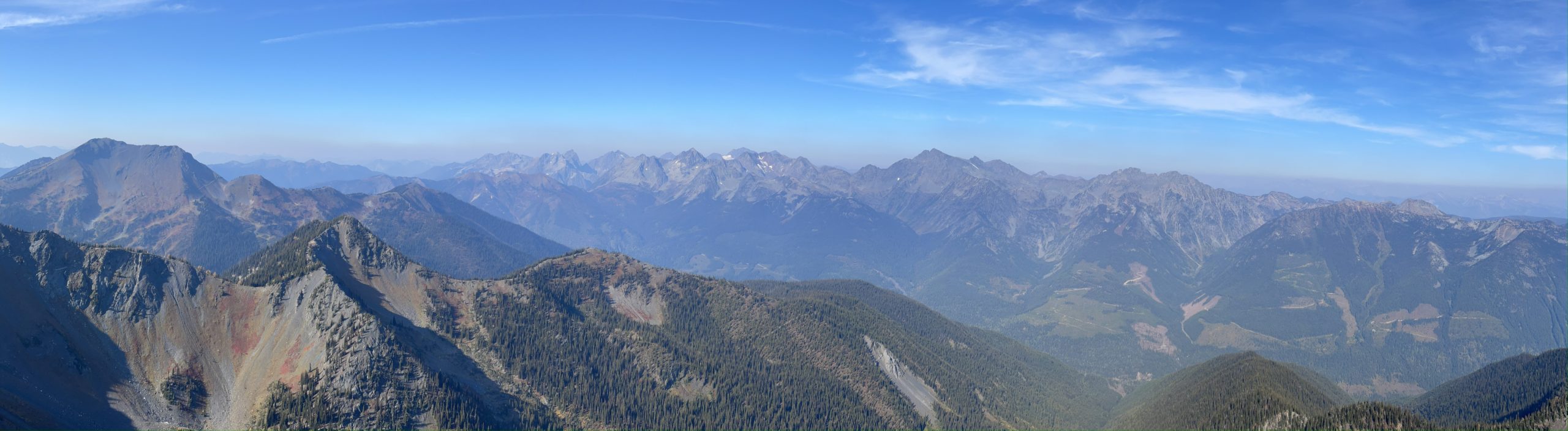
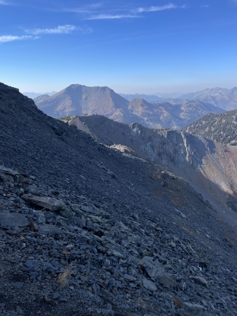
As anticipated the summit had full panoramic views all around. We could see deep into the Goat Range area and further South towards the Kokanee Glacier Park as well as some of the larger summits further West. The East was unfortunately obscured by dense fire smoke, but we were happy just to have a views at all given the fire situation.
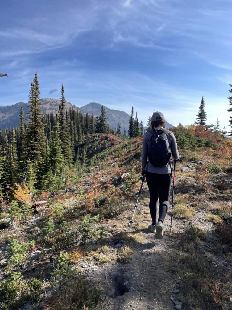
On return, we found a slightly more travelled path back to “West Texas Peak” and then I took a side-hill short cut on the North side to avoid elevation gain. Andrea continued back up and over the summit and her route ended up being the better of the two. I scree bashed for a 100m and then rejoined with the trail where Andrea was now descending. We continued along the trail all the way back down the ridge and to the service road again. Then it was an easy 2km plod back to the car.
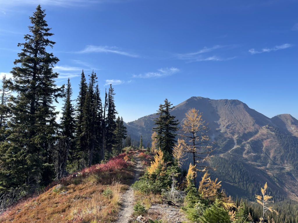
Texas Peak exceeded our expectations for a short outing and we got a bit lucky to time the larch season and fall colours. Definitely recommend if you need a short day out with good views.