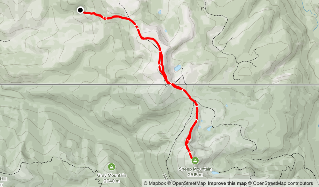
Elevation Gain: 1,205m
Distance: 16.92km
Total Time: 5 hours 59 minutes
Date: June 1st, 2022
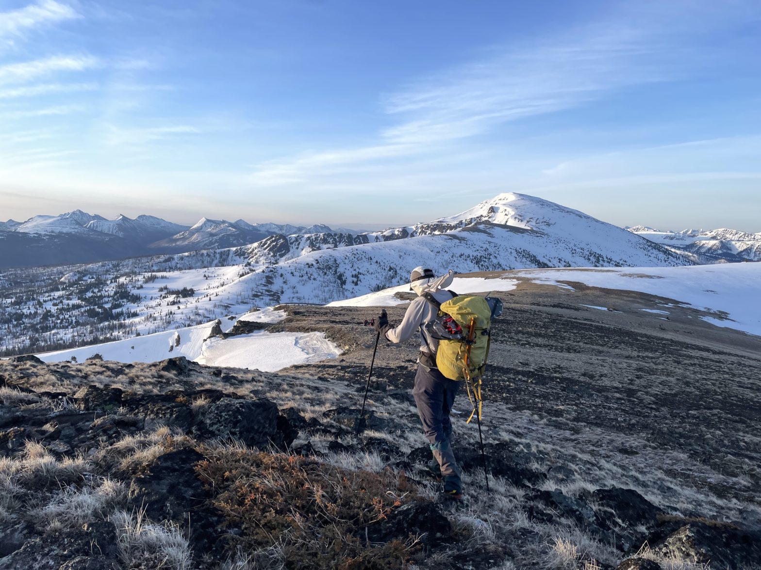
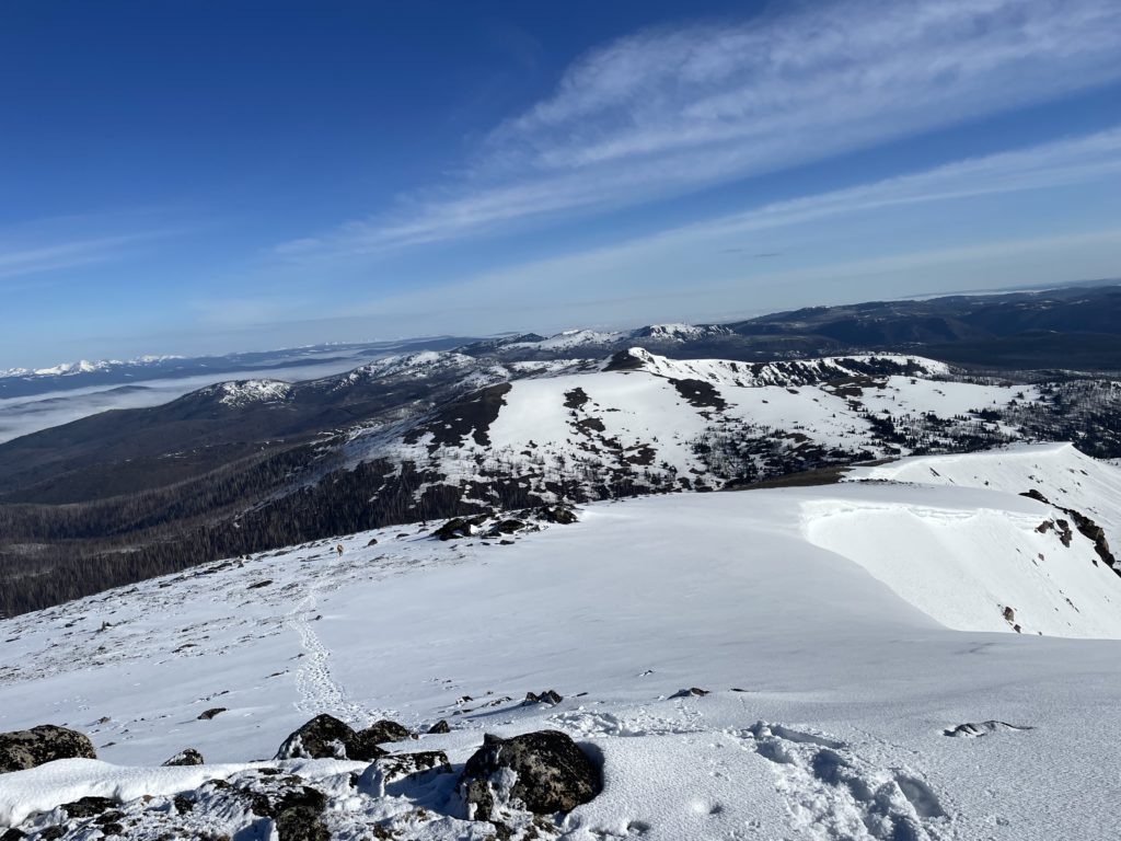
Elise, Phil, Steven myself had just finished reaching the top of Border Lake Peak and were now on our way to Sheep Mountain. An obscure 2515m peak near the US/Canada border. To reach the summit we had to descend over 200m to reach the col before ascending another 400m to gain the summit.
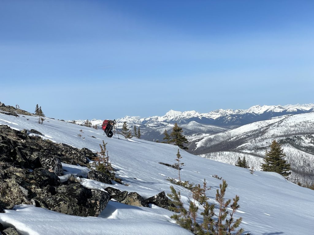
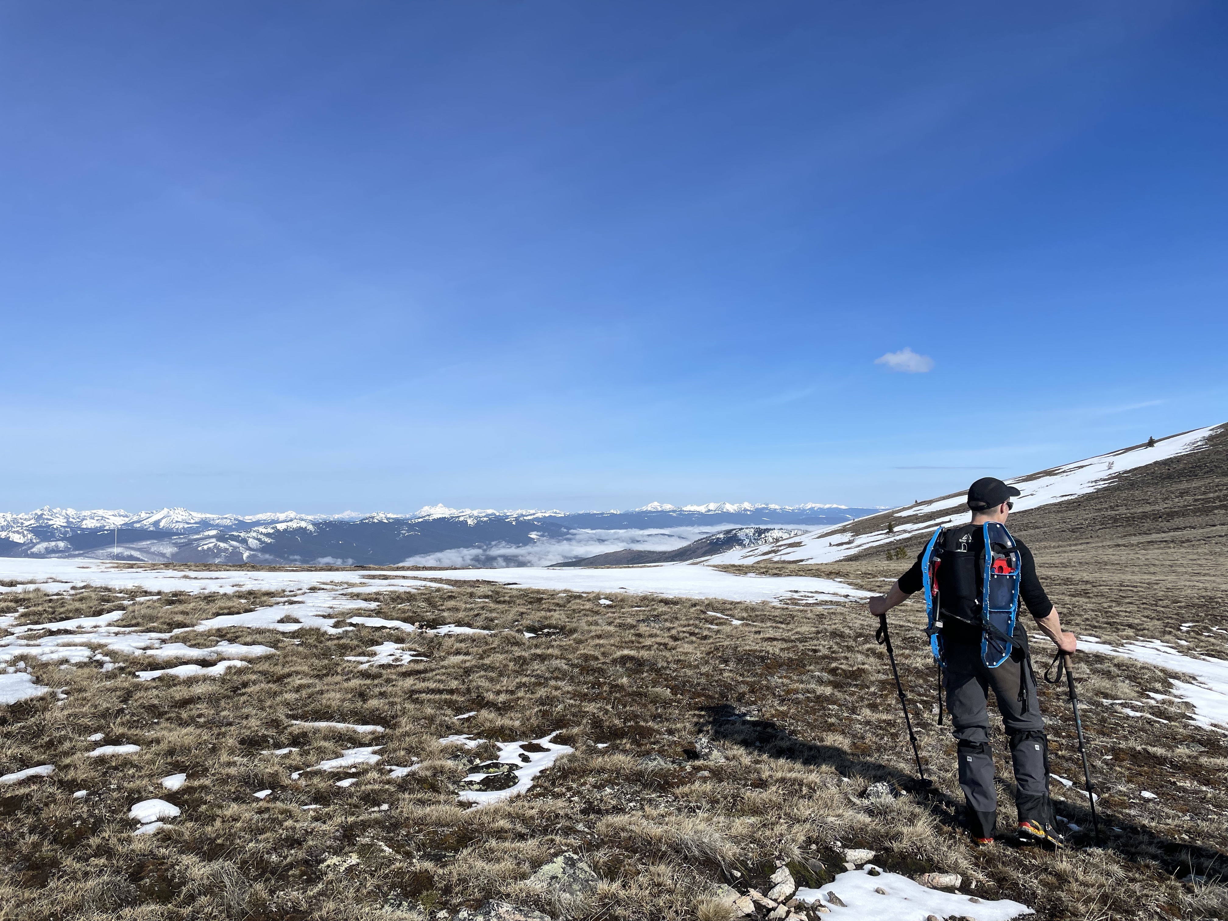
From the summit, a long dry grassy patch was exposed almost to the col, so we removed our snow shoes and hike our way down. Once reaching continuous snow again, we transitioned back and discovered more knee deep isothermal snow. Thankfully as we started the ascent out of the col, the conditions firmed up a bit. Phil and Elise took turns trail breaking hear and I could never quite keep up.
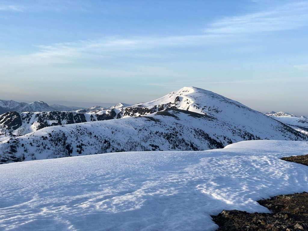
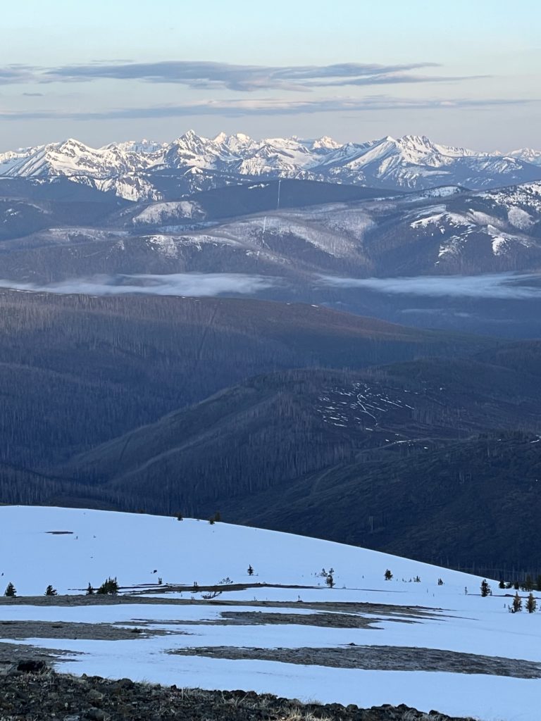
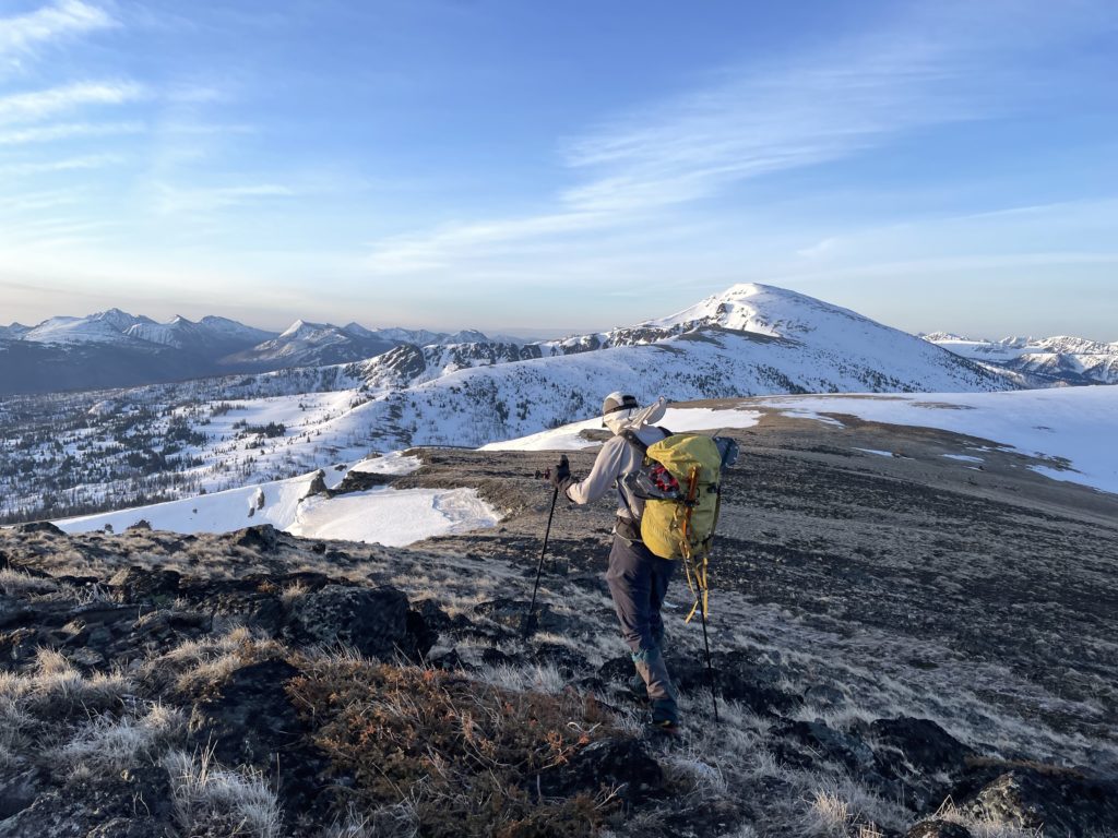
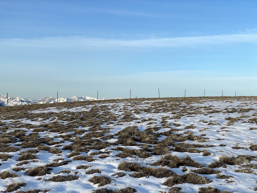
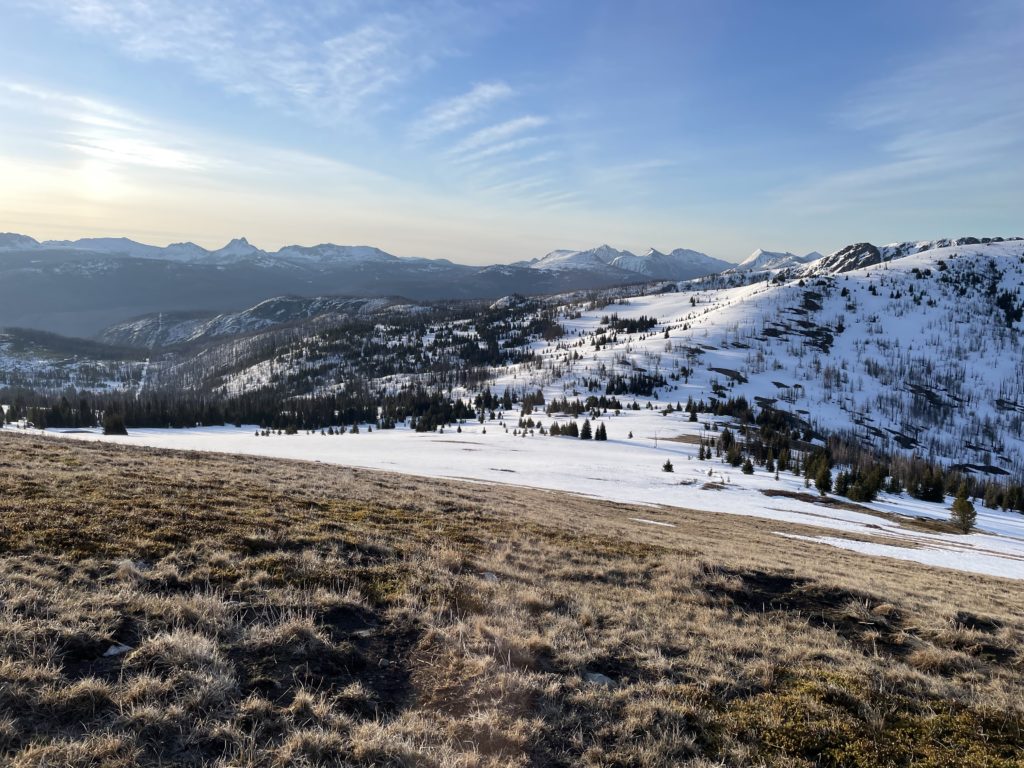
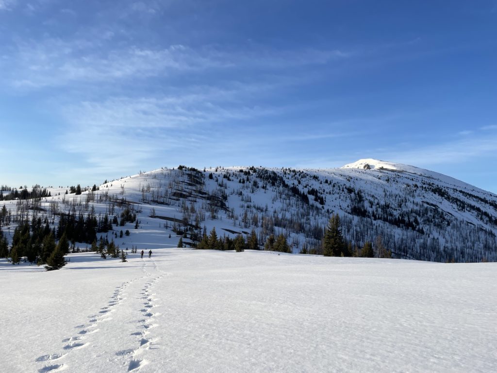
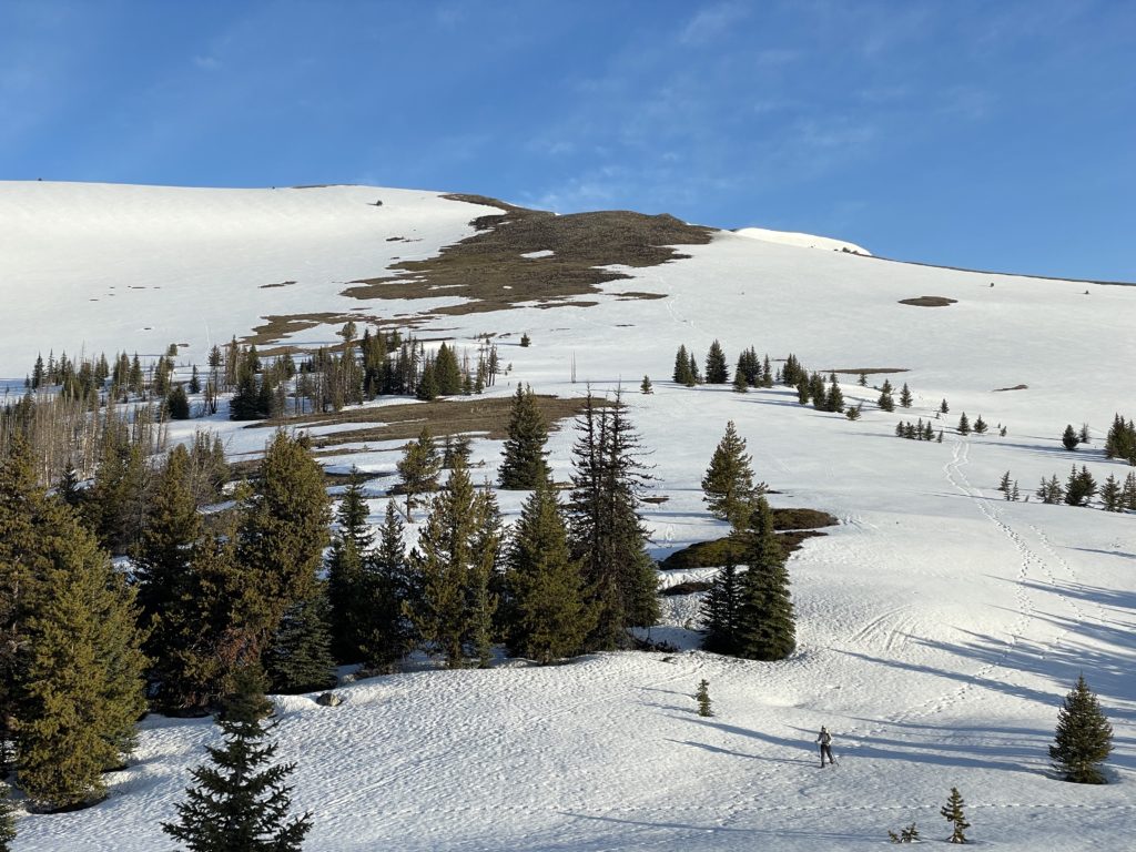
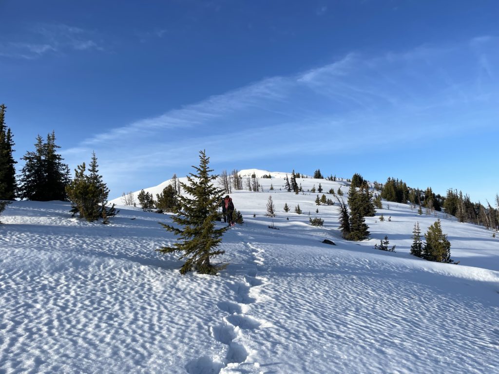
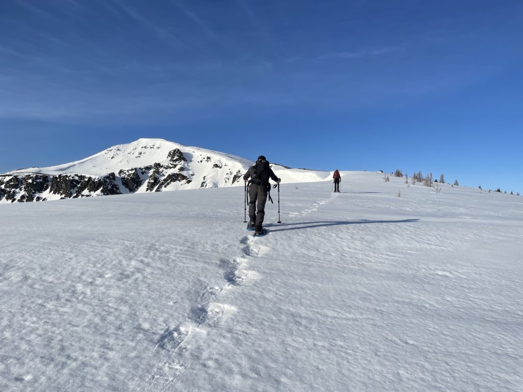
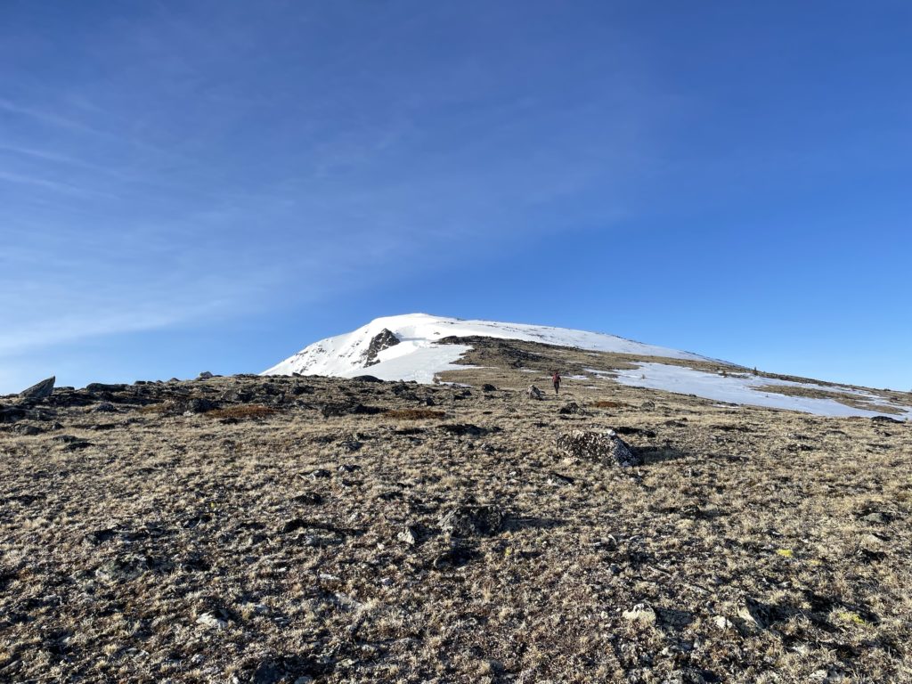
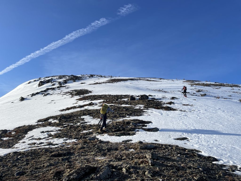
At about 2300m we reached a small sub-summit and climbed up and over down to a small notch between the false summit and true summit. Steven ditched snow shoes here and took a more direct line to avoid the elevation gain. My snow shoes were already horribly broken, so I just walked on the exposed rock and grass to the notch were more snow was present.
Elise lead the way up the notch, but Steven and I took over and then I caught a second wind and lead the rest of the way up to the summit. It was a bit steep in some sections, but thanks to the firmer conditions, ascending was easy. Just before 7am we all grouped up on the summit and settled in for a long snack break.
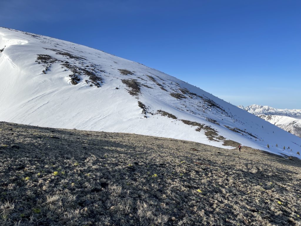
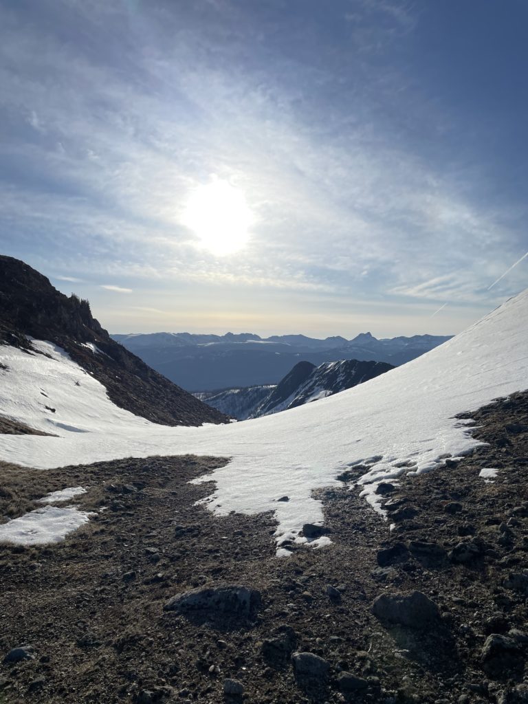
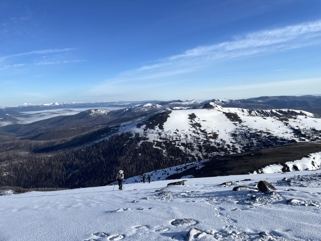
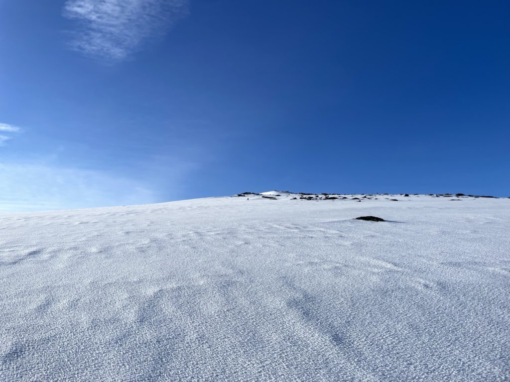
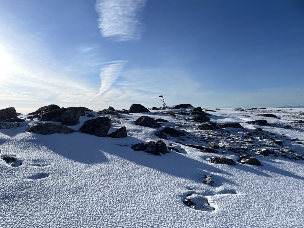
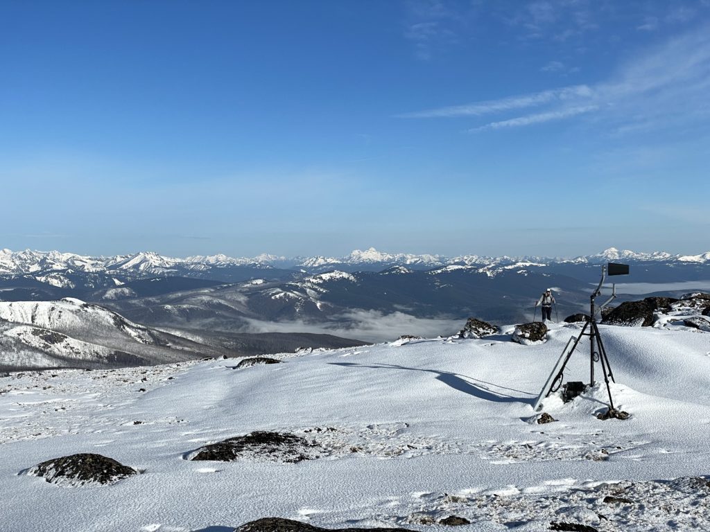

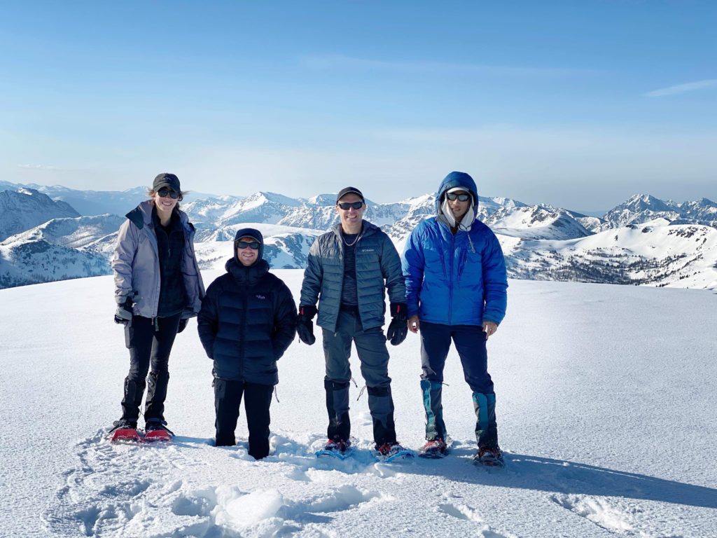
When the cold temperatures finally started to catch up with us we began our descent down. The snow still hadn’t warmed up on the summit ridge so the conditions played nice with our snowshoes and we reached the summit notch shortly. We ditched snow shoes again, to traverse the long exposed grass section and then donned them for the rest of the ridge traverse down to the Border Lake Peak-Sheep col.
Ascending back up to the Border Lake Peak ridge proved to be a slog. I was gassed and the lack of sleep was taking the wind out of me. But there’s no other way to get back to the car, so we pushed on and finally topped out with the last bit of elevation gain for the day. Steven lead us around the summit, avoiding extra elevation gain and along grass so snow shoes were removed again. Once on the North side of Border Lake Peak we transitioned again and discovered more heinous conditions. At one point Elise was sinking up to her hips when she took a small short cut. With snow shoes we fared a bit better and that firm crust that tripped us up earlier was now disposed of by the sun.
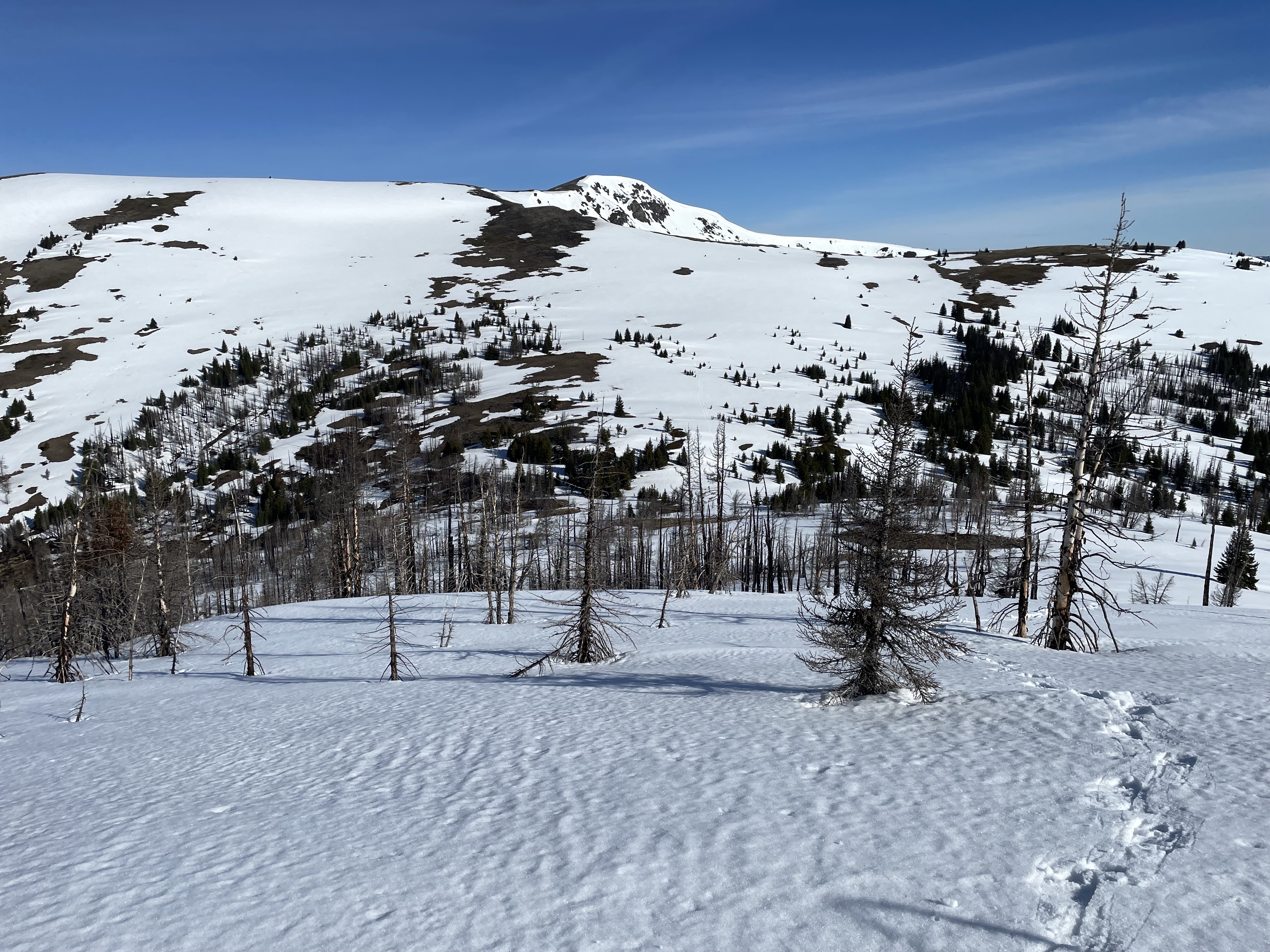
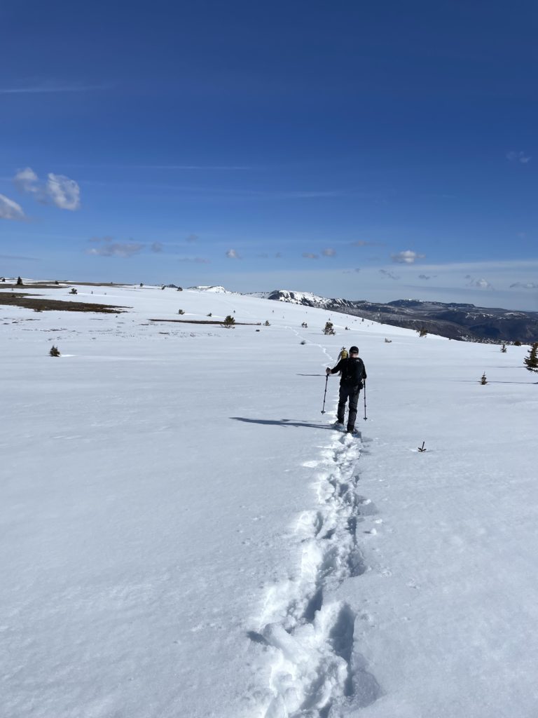
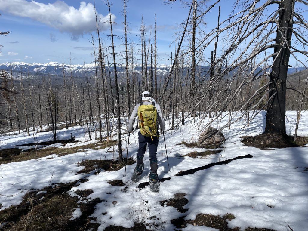
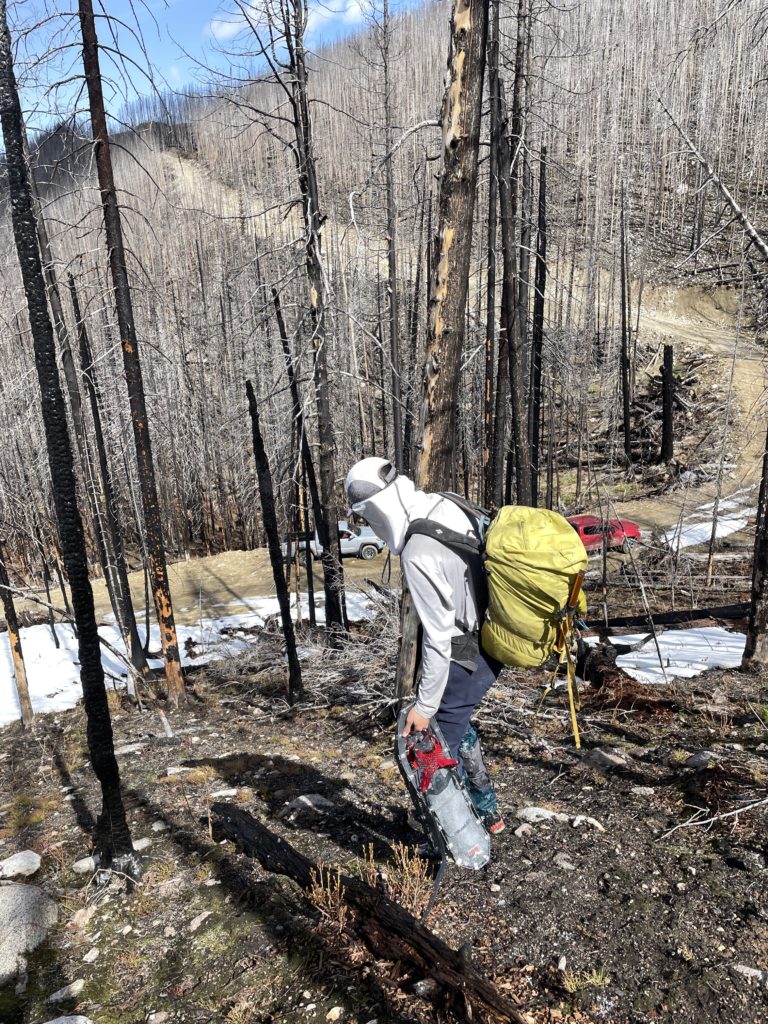
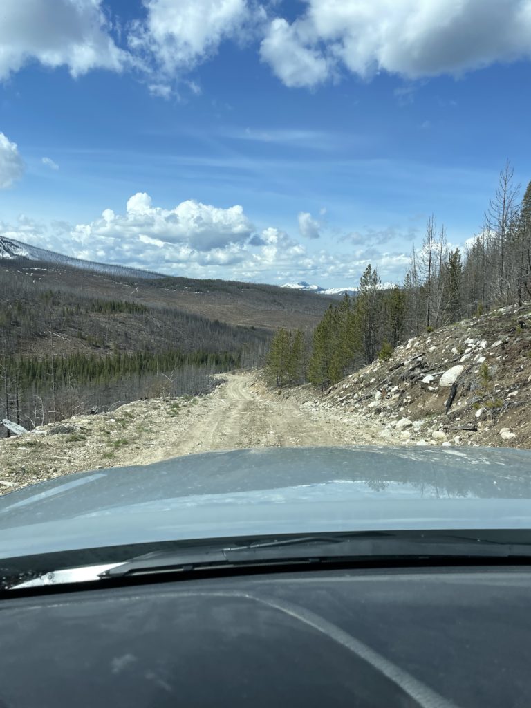
A few more transitions later and a traverse through the burned forest landed us back at the Tacomas around 10am. We all packed up and parted ways after a sleep-deprived but very fun journey to catch the sunrise. I stopped at the junction from Highway 3 and the FSR to sleep a little before continuing on through to Penticton and then Kelowna.
