Elevation Gain: 453m
Distance: 5.45km
Total Time: 1 hour 20 minutes
Date: June 1st, 2022
Mount Nkwala is a small 1019m peak just North of Penticton and located on a First Nations Reserve, but accessible to the public. I had just completed a summit of Border Lake Peak, near Eastgate with Steven, Elise and Phil and driven out to Penticton to meet up with a friend before their afternoon meeting. I was slated to head to Kelowna after, but the weather was perfect and I figured why not try and get some summit views somewhere. I was running on about 1 hour of sleep from this mornings trip, but with a healthy dose of coffee I found the energy to give Mount Nkwala a try. I found it on AllTrails after scanning around for something close by with a not too committing hike up.
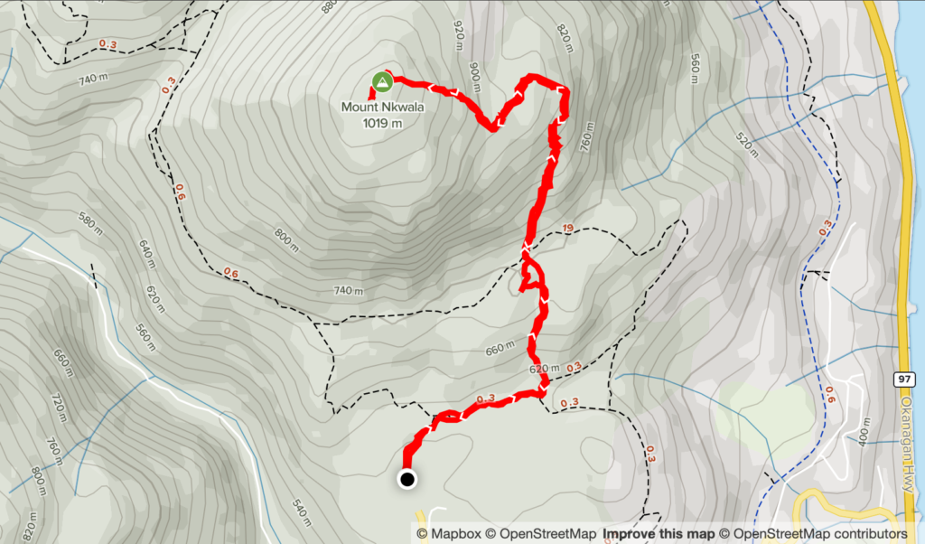
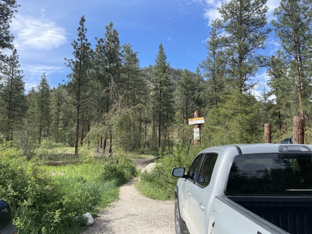
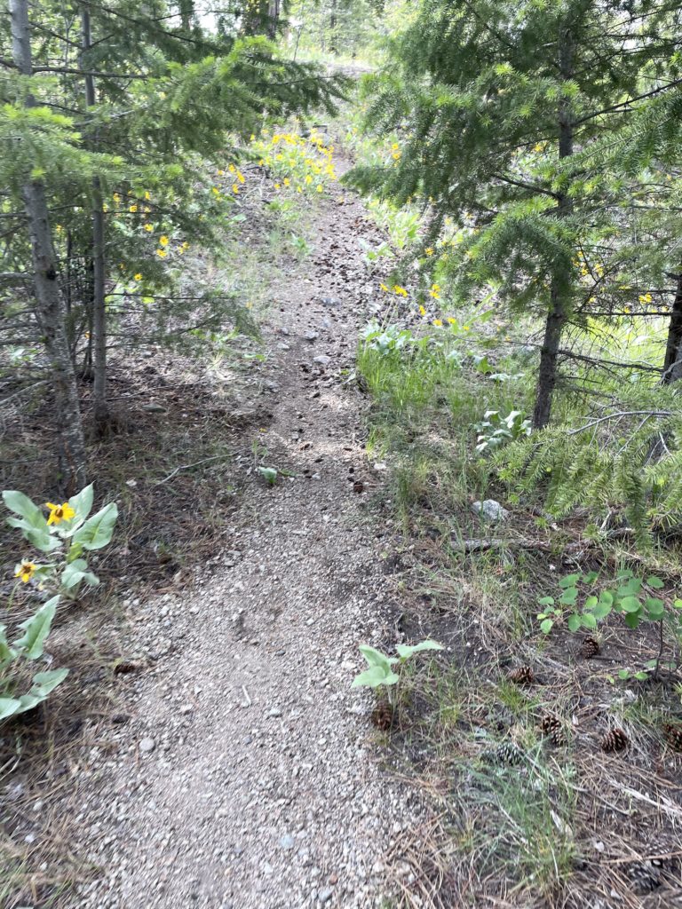
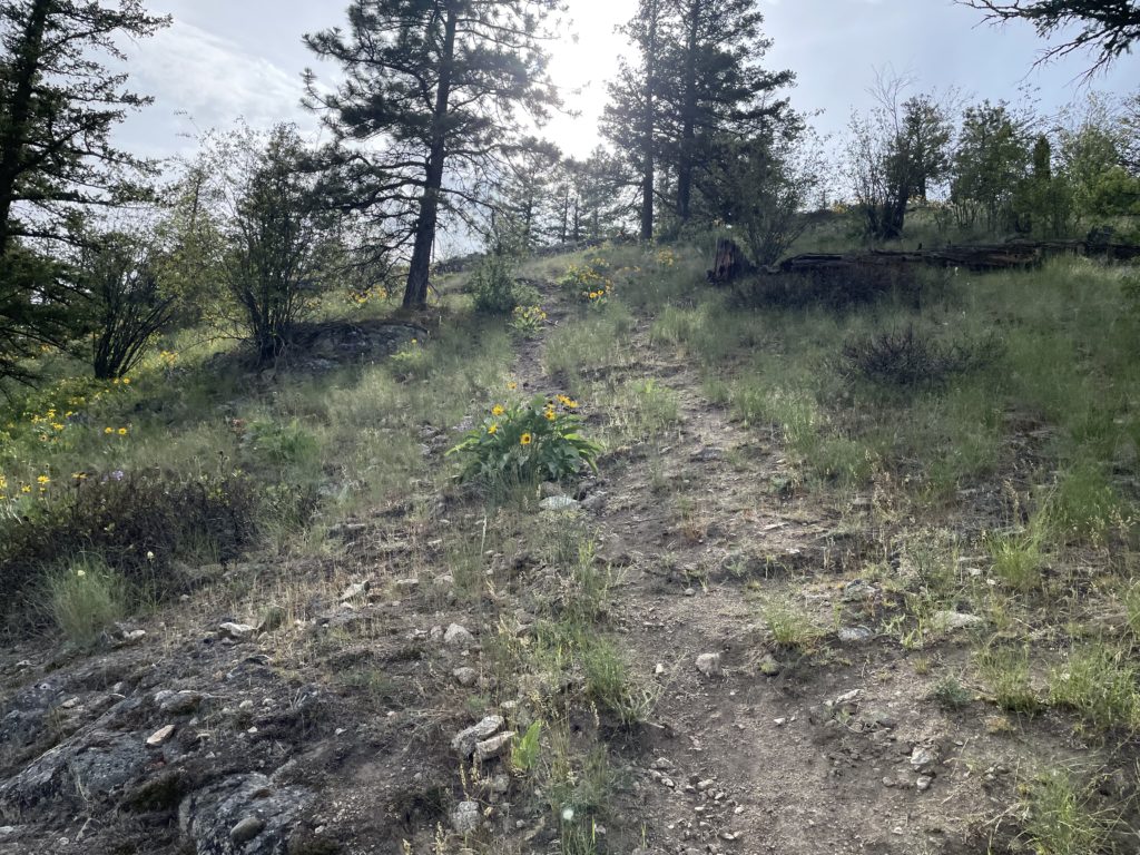
I drove the ten minutes over the trail head that started at 600m, disposing with the majority of the elevation gain to the top. It’s a short hike, so I just brought one pole and a water bottled before I started along the well maintained trail. I was using the AllTrails GPS track initially, but I didn’t like the long meandering route it took to the reach the summit. The route called for a long switch back up to the 710m mark and then a more direct line up to the summit, but it seemed unnecessary. Thankfully near the lower section around 605m, I found a faint trail that appeared to go straight up the slope in a more direct line to the summit.
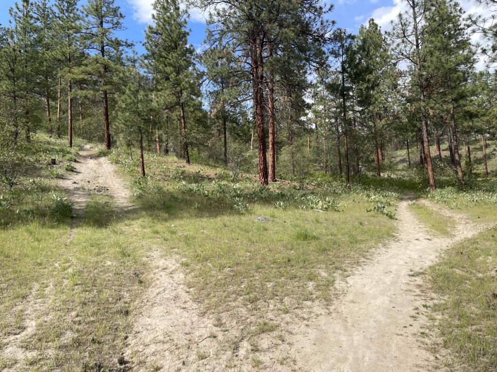
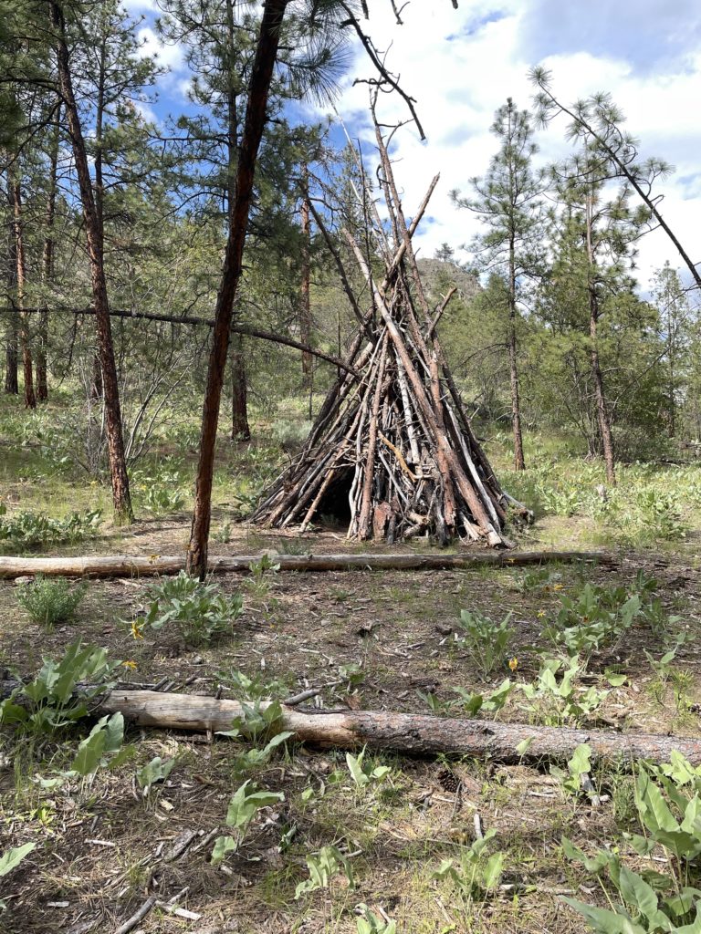

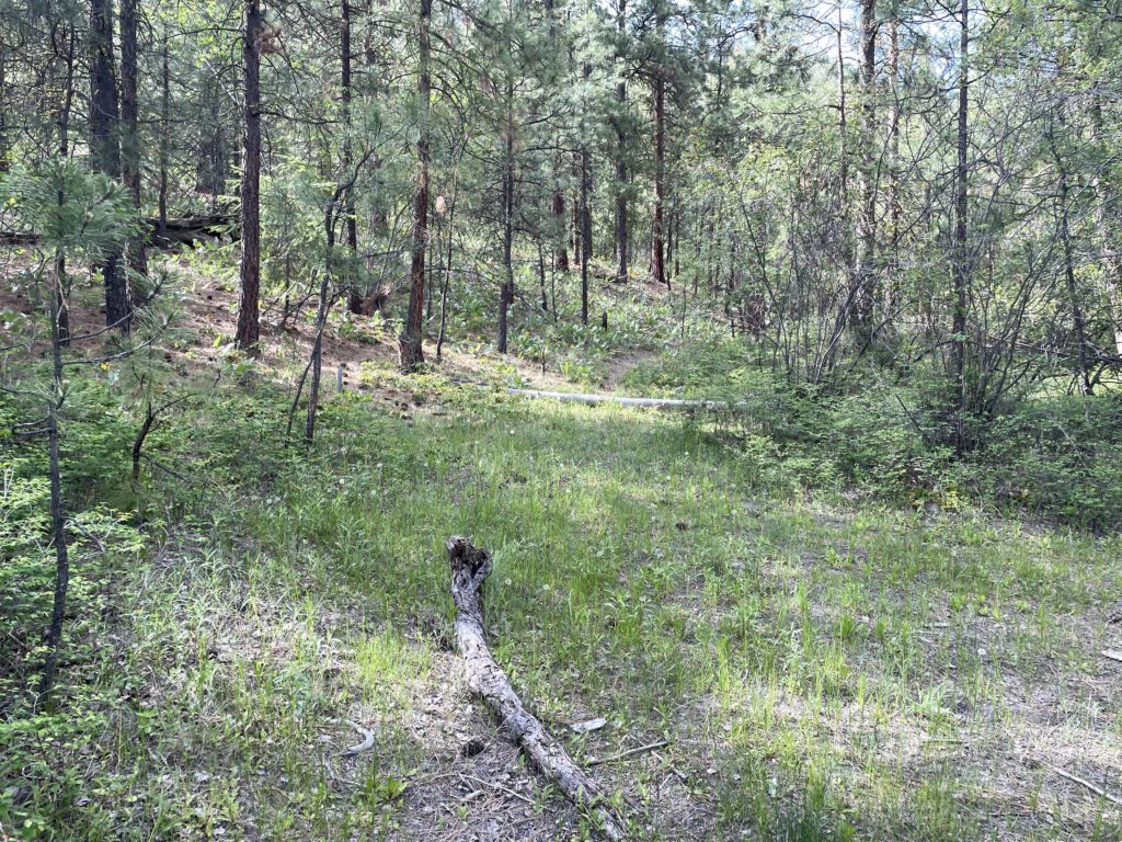
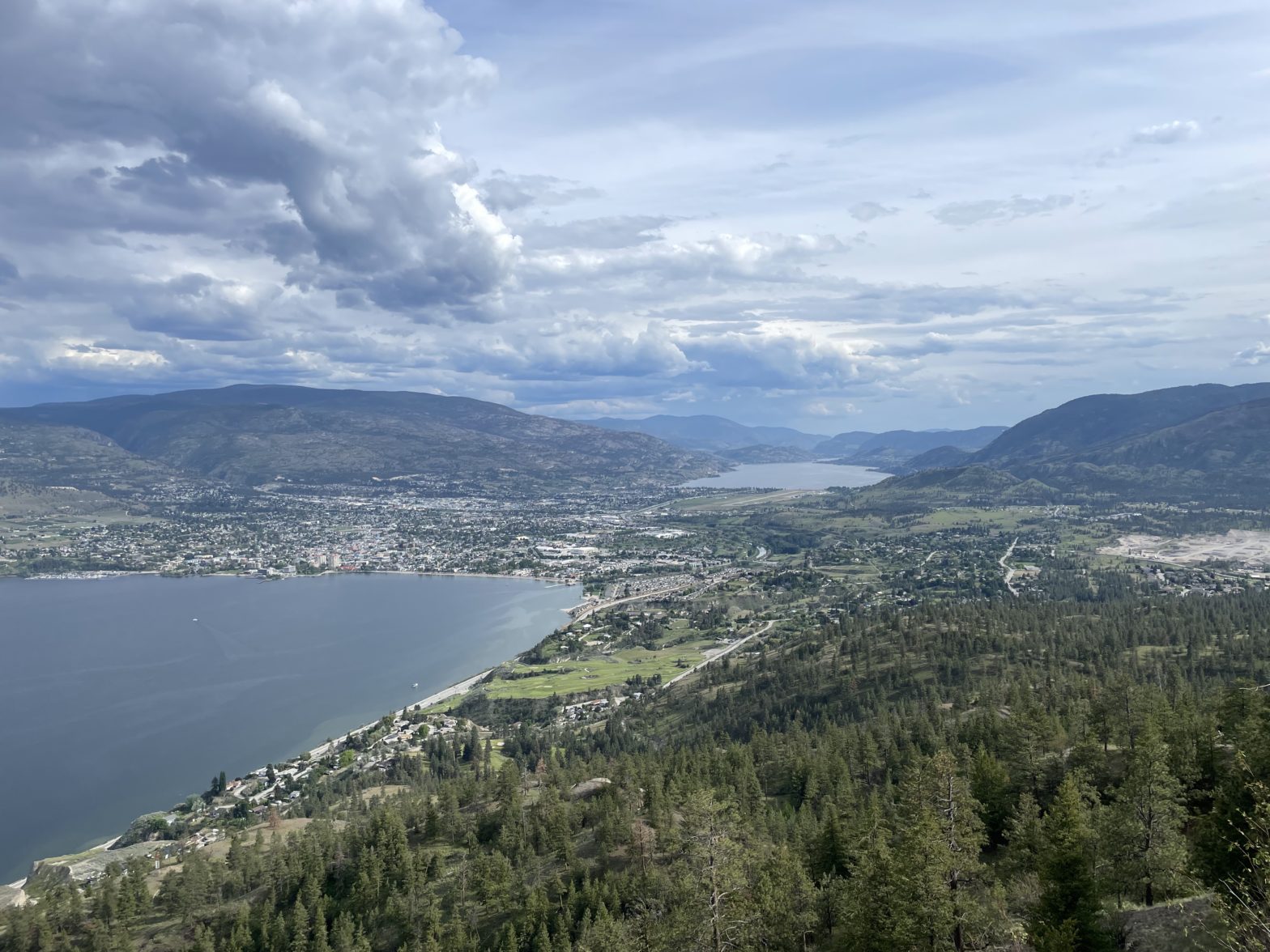
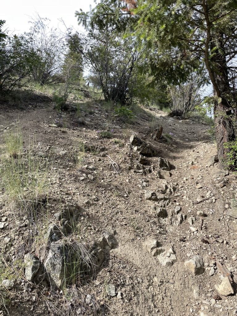
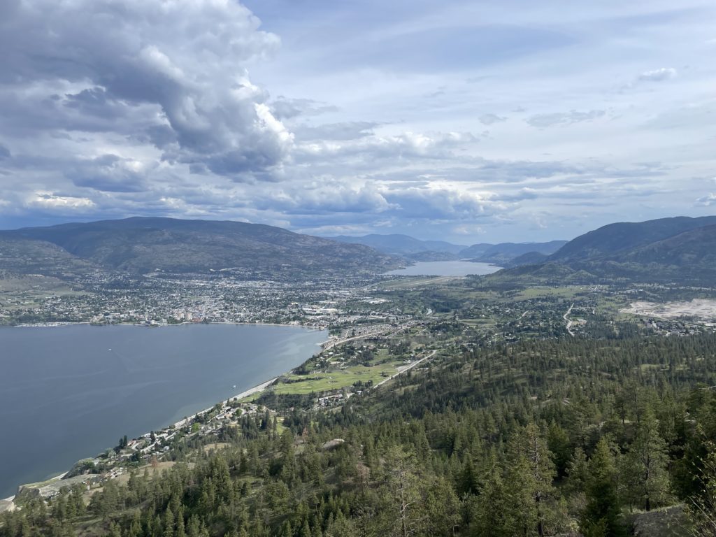
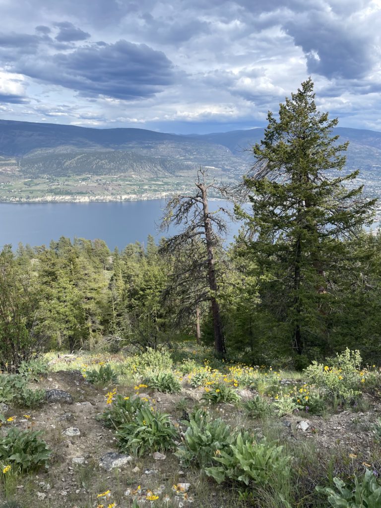
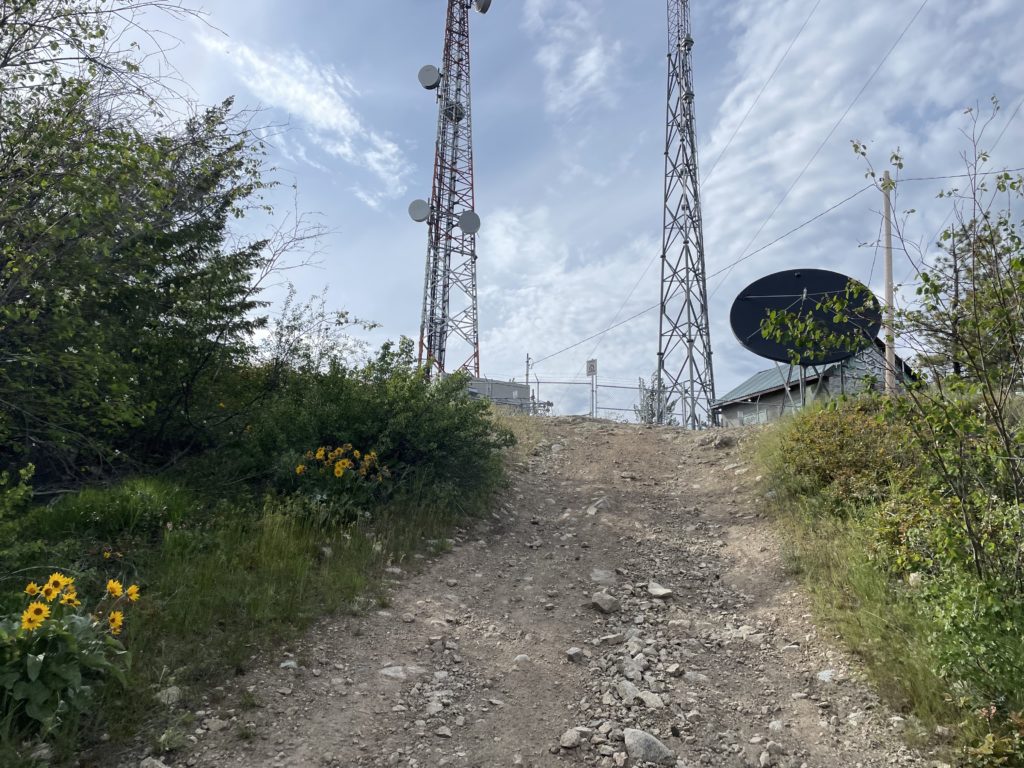
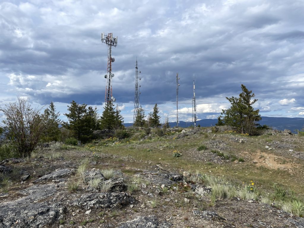
I followed it up and soon linked up with the more direct section. From here the trail had some loose rocks and dirt, but with a hiking pole it was straight forward. A few points along the way offered great views of Penticton and the steep section tapered off to a flattish bench at around 860m. From the bench I climbed up one more steep section of trail and then linked up with a service road at the top. I took the road the rest of the way to the top, where a set of comms towers lay in wait. The true summit was unoccupied thankfully and I hopped from high point to high point as it wasn’t clear which was the tallest.
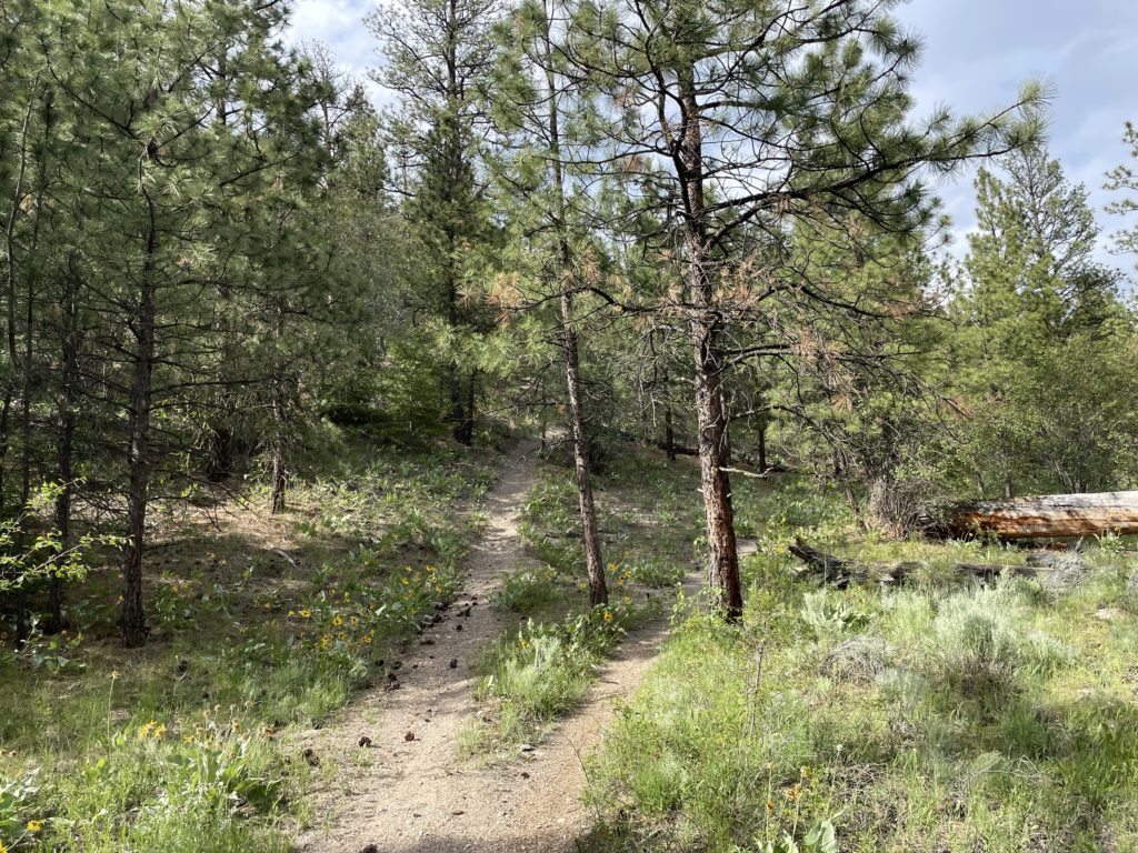
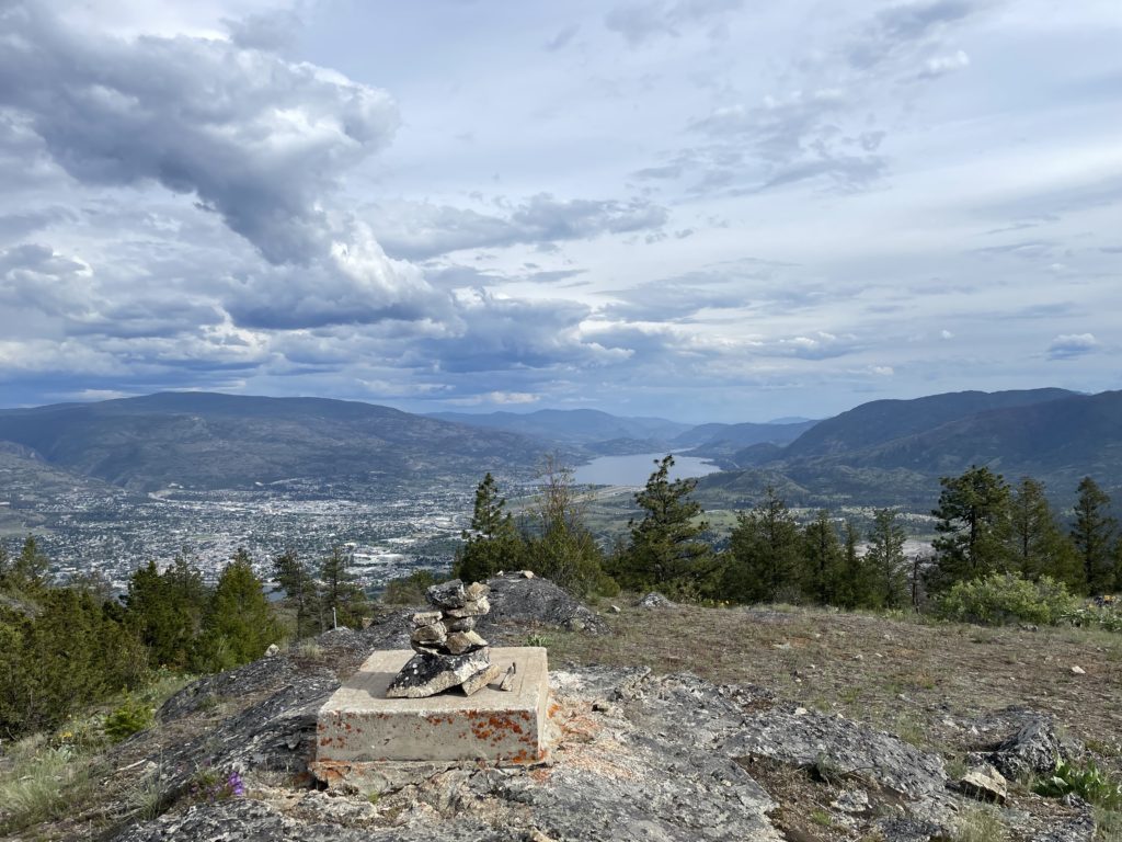
After a very short rest, I descended my ascent path back to the bench and then continued along until 650m or so. There I got a bit off track and reconciled with my GPS to get back to the faint track. Once I rejoined with the trail it was an easy return to the truck. A super easy hike and I was happy to still have some energy to get out for one more set of views. I drove the rest of the way to Kelowna after and arrived just in time for dinner. A great day all around.
