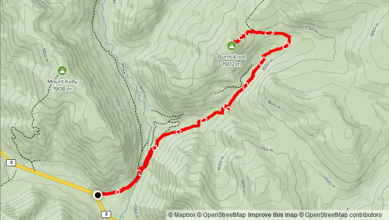
Elevation Gain: 637m
Distance: 14.24km
Total Time: 4 hours 31 minutes
Date: November 6th, 2021
After a month long hiatus from the peaks of SWBC, due to my vacation in Aruba and work, I was once again able to head out for some local summits. My last BC trip was in early October and the signs of winter had only just begun. Now at the beginning of November it was winter in the alpine, so I was after a tame objective to ease into the season. Adding to that, the weekend forecast was subpar at best. All around the Sea 2 Sky was high snowfall with some avalanche concerns. Meanwhile, the Fraser Valley would be seeing a lot of rain. Further East, I found some sanctuary towards Manning Park, where there would still be high precipitation and cloud cover, but the freezing level was basically the same elevation as the highway. With a region more or less picked out, I honed in on a few possible summits, but eventually narrowed it down to Three Brothers Mountain. I did some research and found that there was a high chance the gated road would be closed. As a backup, I selected “Burnt Knoll” an unofficially named peak located North of Mount Kelly and South of Three Brothers. This time I planned to go solo, if only for the fact that, it had been awhile since I’d done a trip out on my own and wanted stay comfortable with doing such type of trips.
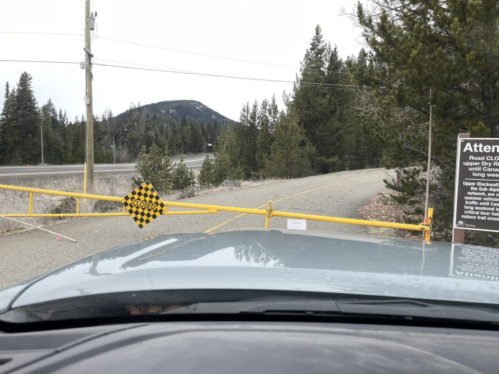
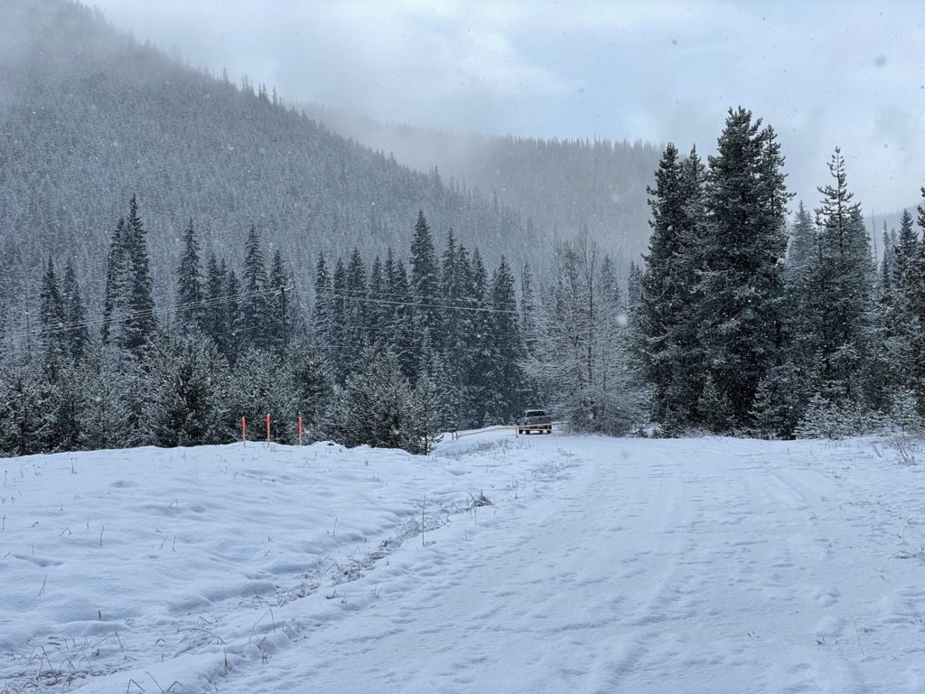
On the Saturday morning I left Vancouver at 6:30am and made it to the pull off for Three Brothers Mountain at around 9:00am. Driving over, I almost pulled the trigger on going to Church Mountain in Chilliwack instead, but the forecast didn’t look favourable despite the clear skies on the drive over. I barely made it 100m down the road before reaching a gate blocking the road. Sure enough, Three Brothers access was done for the season and I was thankful to have planned a back up summit. I drove a few km back towards Hope and pulled into the “Fat Dog Trailhead” parking. Again a gate blocked my way, but this time it only added an extra 200m to the route, so I parked off to the side and got ready.
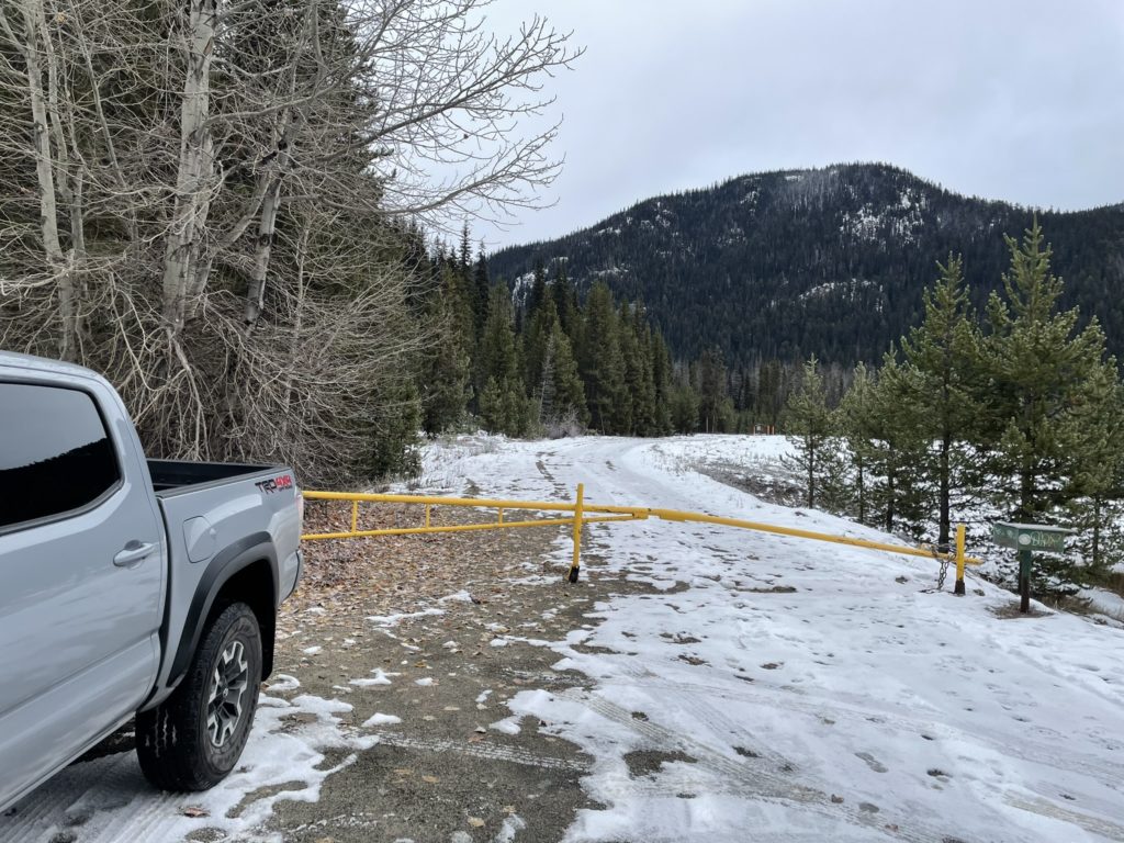
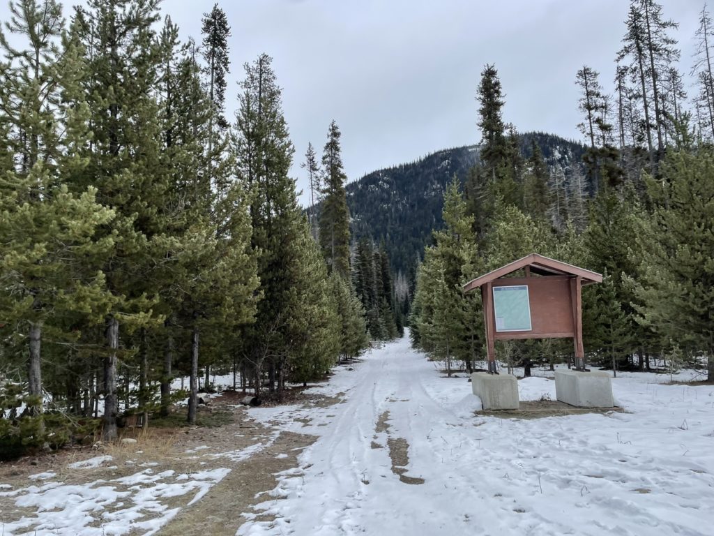
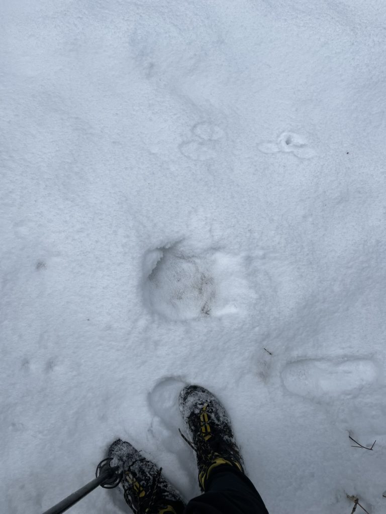
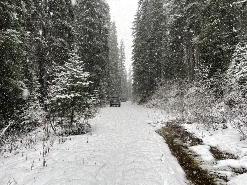
By 9:38am I was walking through the snowy parking lot towards the trail head. From the trail head, I took a long boring service road plod towards the eastern flanks of Burnt Knoll. Initially, the snow crust was supportive and easy to walk on, but by the third kilometer I was starting to post hole and finally put my snow shoes on. Then it was back on track through more snow covered service road. In total it was about 5.5km of service road walking (one way) without any interesting views. There were some day old moose prints to follow, but other than that I was breaking trail the entire way. Thankfully, the snow either had a firm enough crust or was consolidated enough that breaking trail was no real effort.
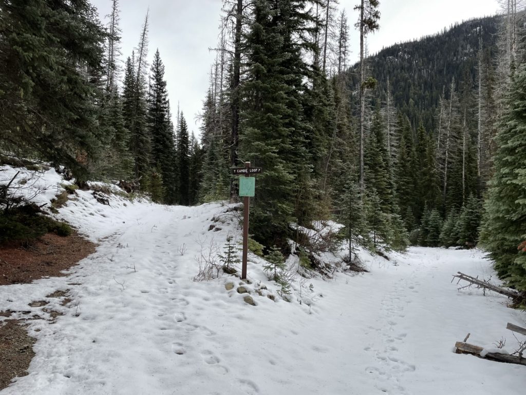
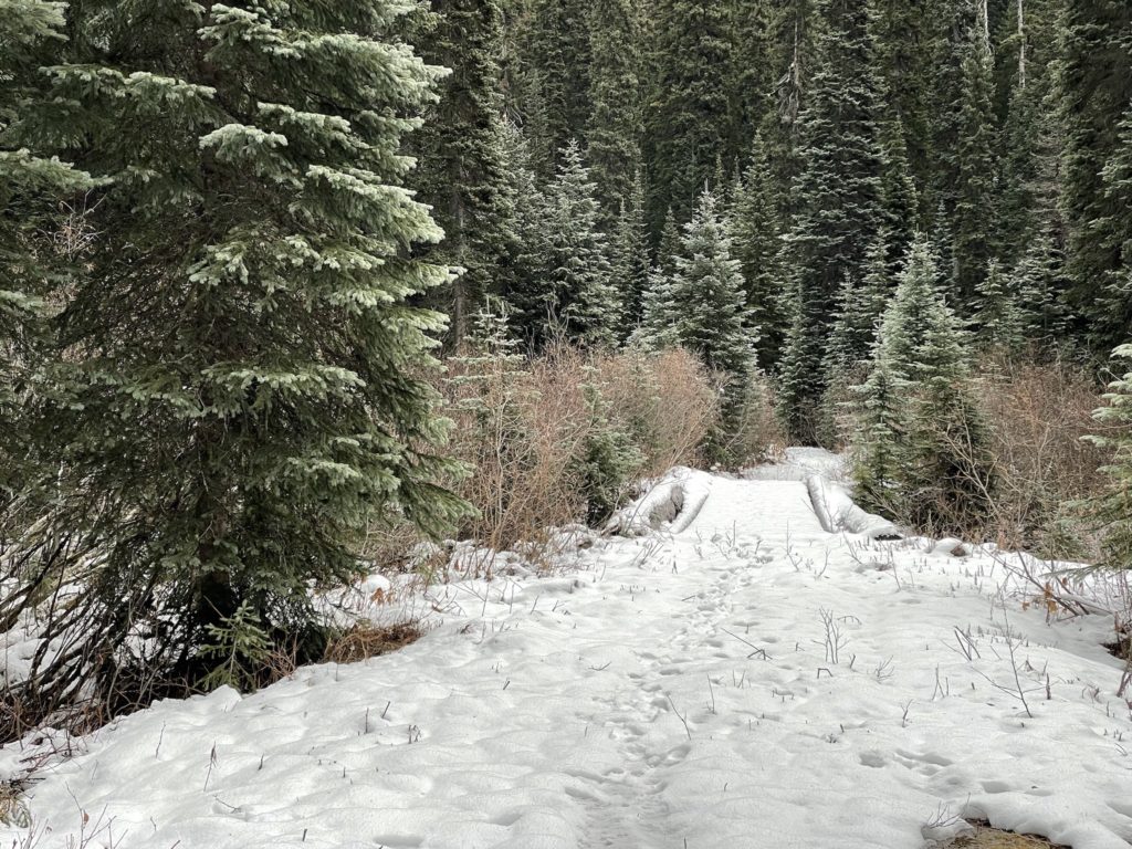
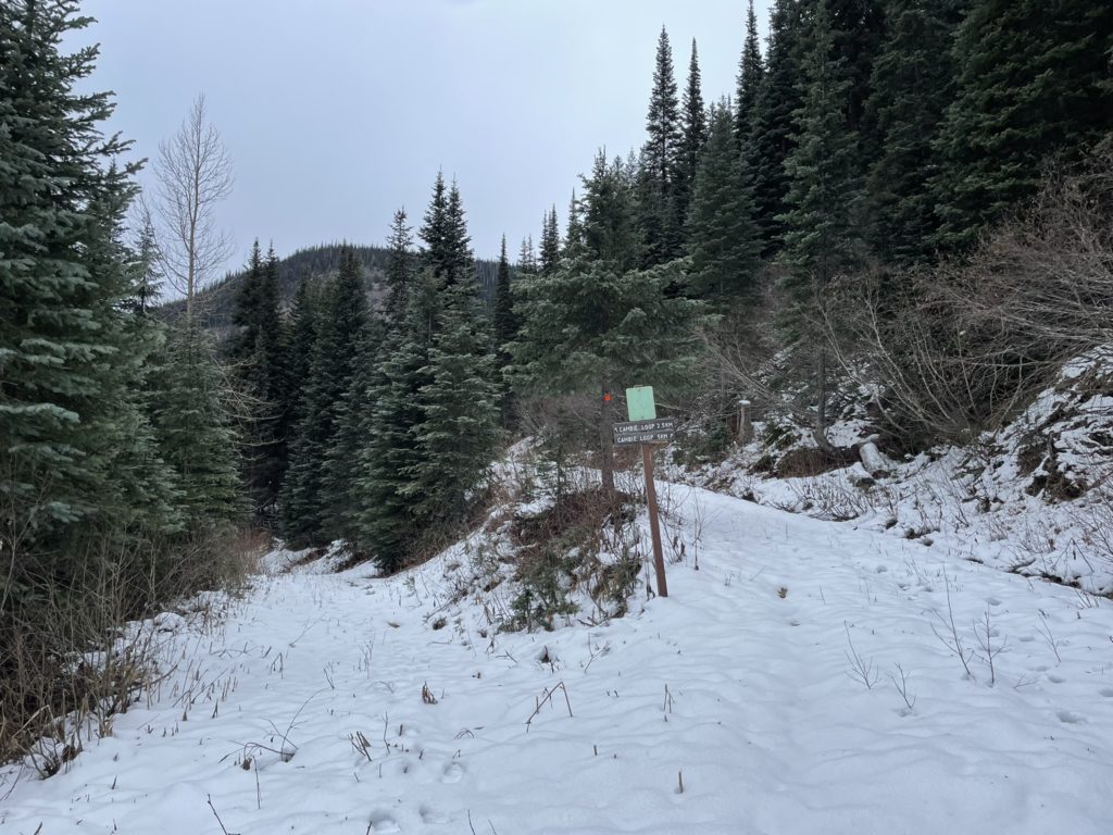
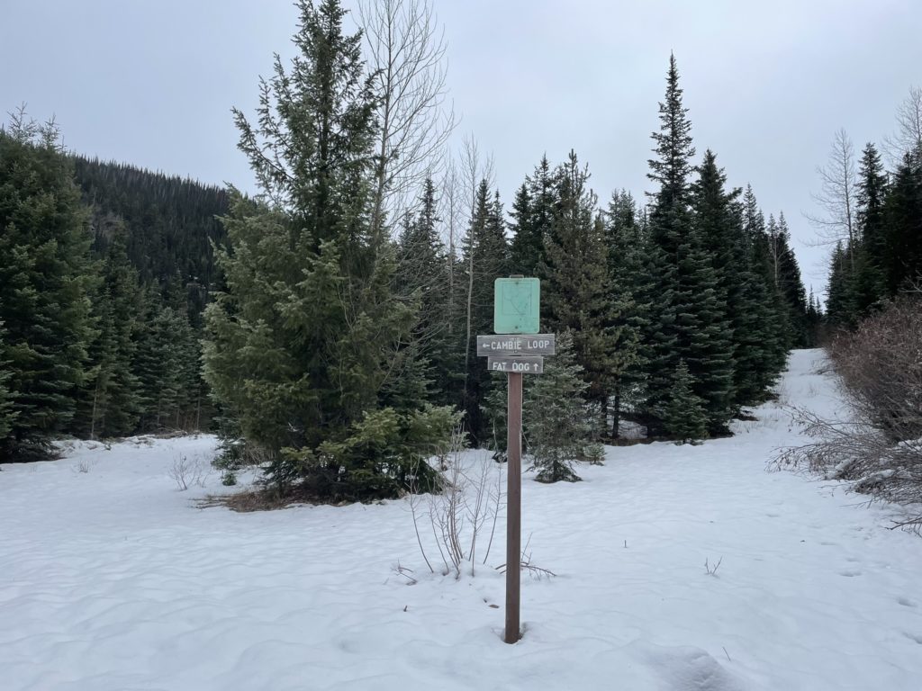
Despite the good snow-travel conditions, I was definitely feeling slow and more exhausted than normal. I guess it only took a month away to see a decline in my cardio. Tiredness aside, I pushed as there’s only one way to build up your strength again and I reached a big bend in the service road. This wrapped around and up the eastern slopes of Burnt Knoll before tapering out into a narrower path.
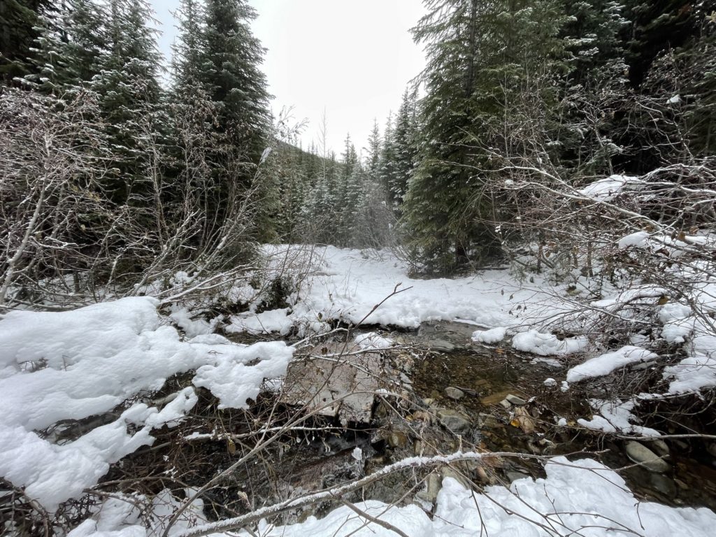
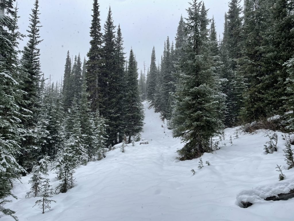
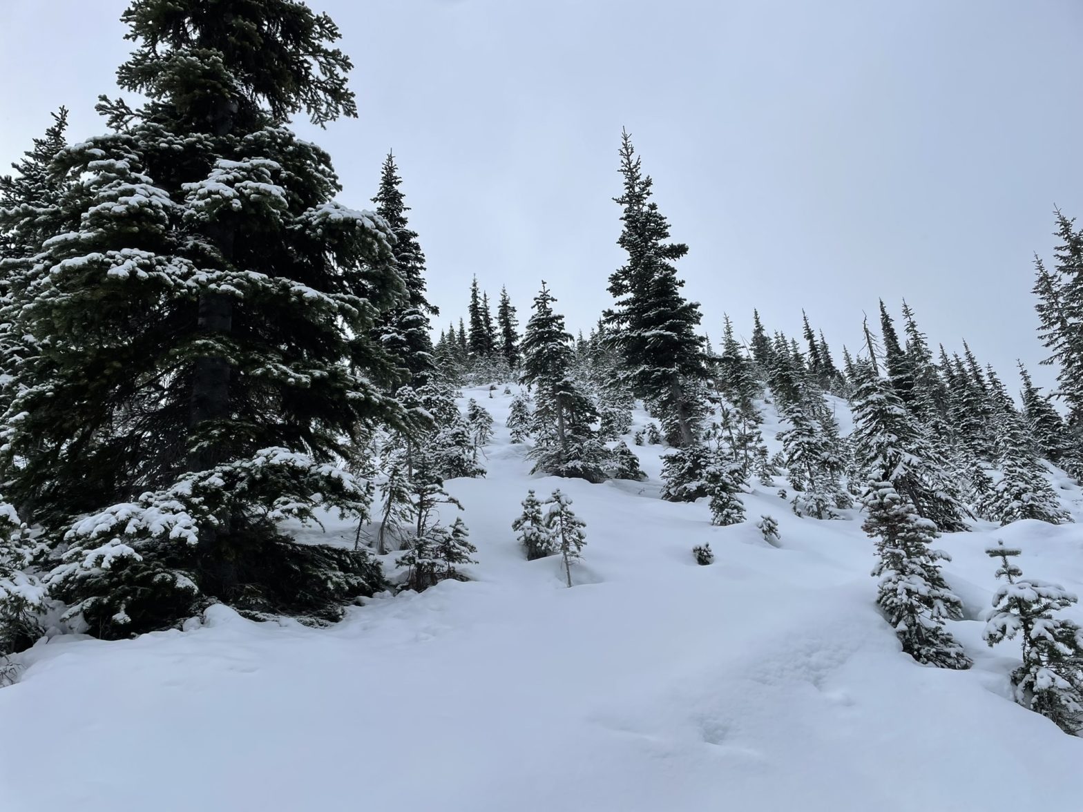
At about 1750m in elevation, I broke off from the path and made more direct ascent up to the summit. The snow hadn’t filled in a lot of the deadfall and it was a bit tedious navigating around it, but soon the forest started to open up. Ahead was one final steep stretch and then I was at the top. By this point, the clouds had actually opened up a bit and I got some views of Three Brothers, Big Buck Mountain and Blackwall Peak. I was expecting no views with the forecast, so it was nice to see something.
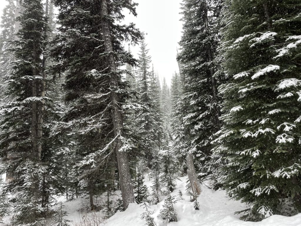
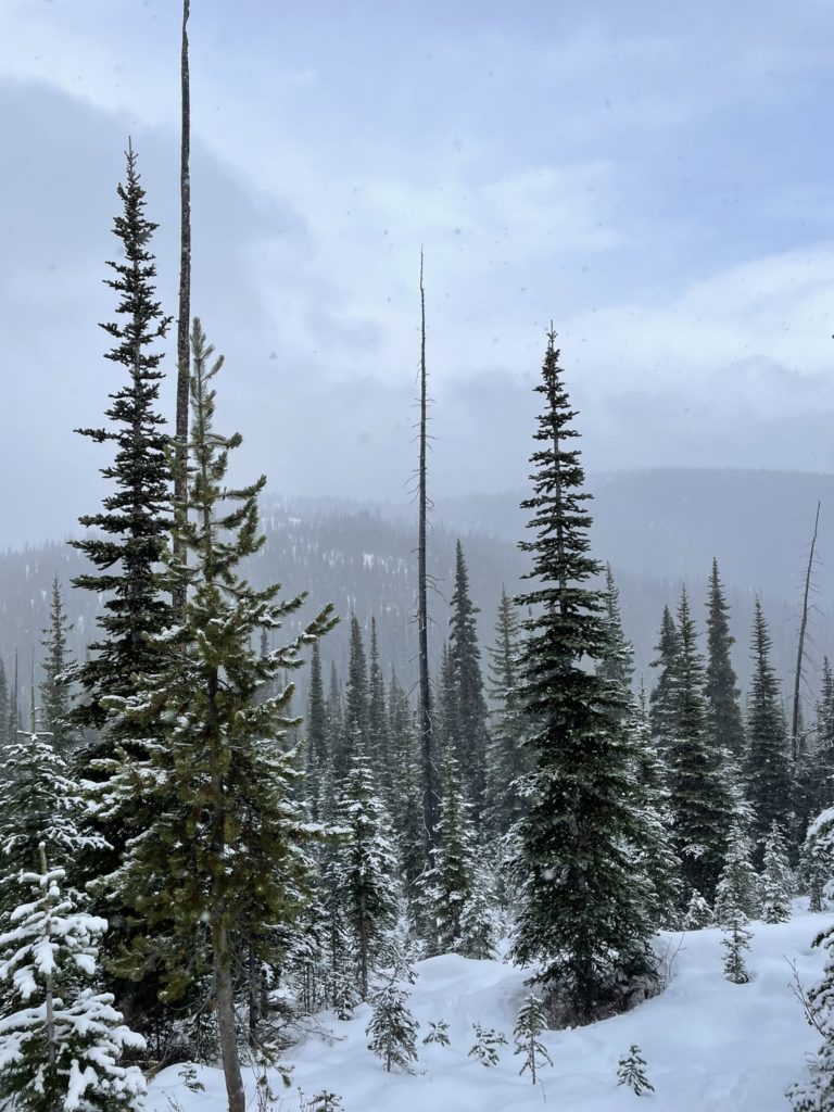
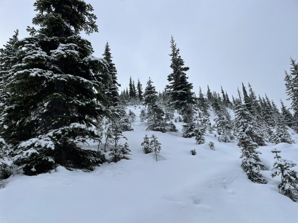
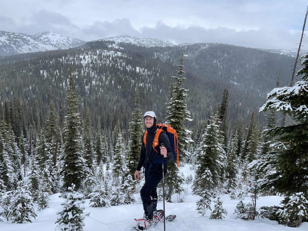
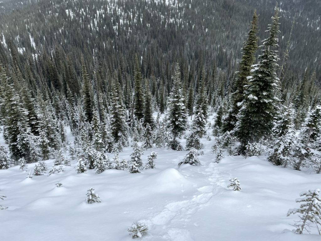
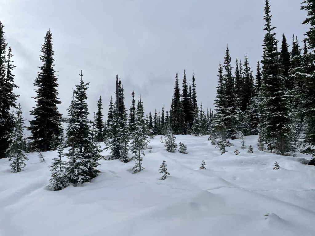

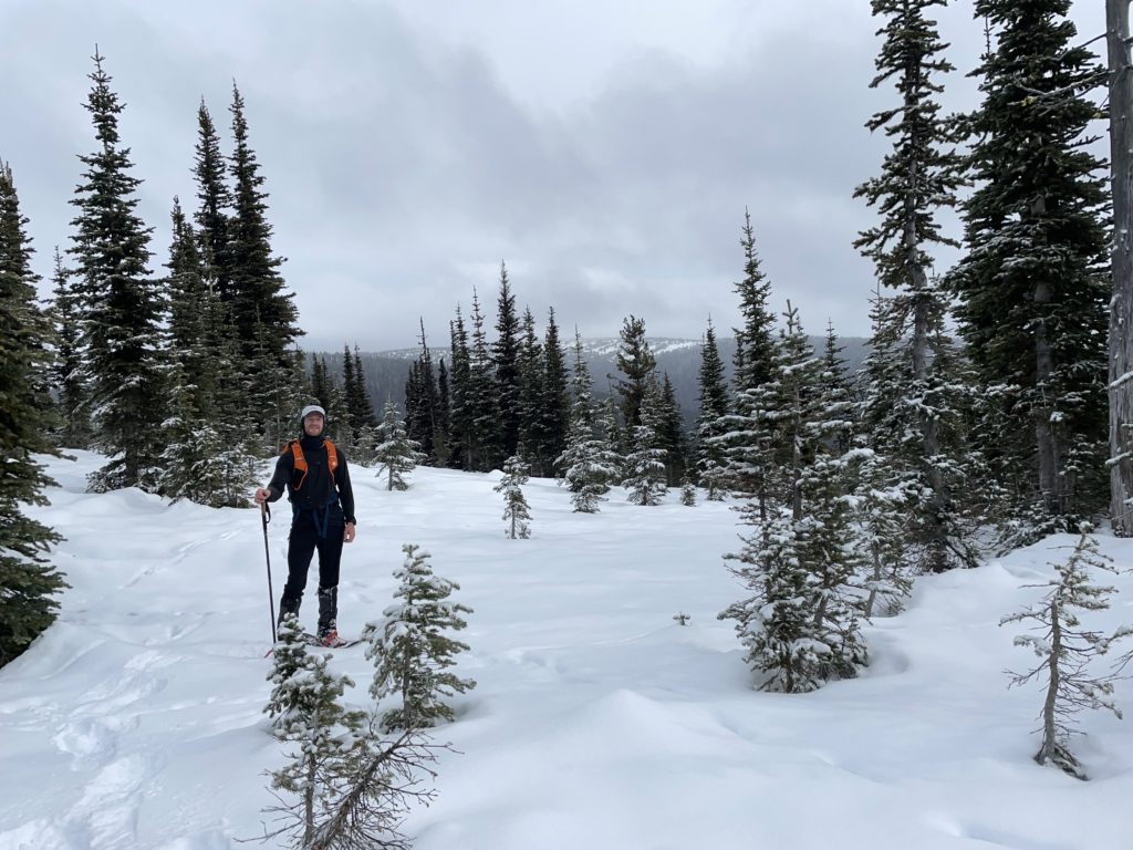
At the summit plateau, I plodded around the top for a bit searching for the highest spot. Satisfied, that I’d reached it, I finally sat down for some lunch. I spent 7-10 minutes at most before I got cold and decided to head back down. I simply retraced my steps through the forest before rejoining with the old FSR. Then it was an uneventful plod towards the truck. About 3/4 of the way down, I ran into a group of three who were clearing dead fall across the lower stretches of the path. I didn’t think I’d see anybody all day, but it seems a bad forecast won’t stop some people.
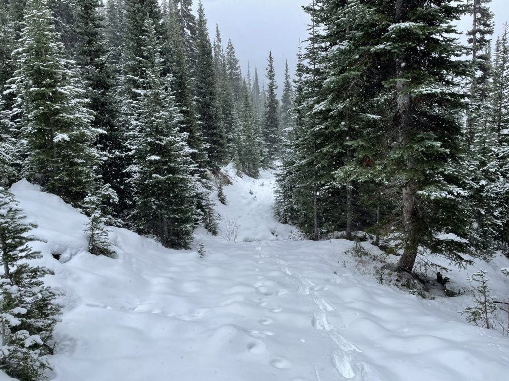
Shortly after, I reached the truck to much satisfaction. I was surprisingly tired, but it felt good to get out. This ended up being a good first winter objective and I’m glad Three Brothers didn’t work out as it supposedly has phenomenal views in the summer. I’d suggest this summit for a bad forecast kind of day. There’s no real avalanche terrain, save for the steep short cut I took at the top (but that can be bypassed easily). So, it makes for good winter intro to hiking. With that being said, there’s many more fun first objectives to tackle out there, so it will just come down to how much you care about grabbing named points.
