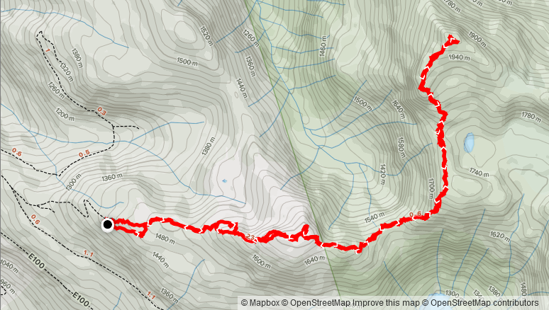
Elevation Gain: 1,036m
Distance: 10.77km
Total Time: 4 hours 23 minutes
Date: September 25th, 2021
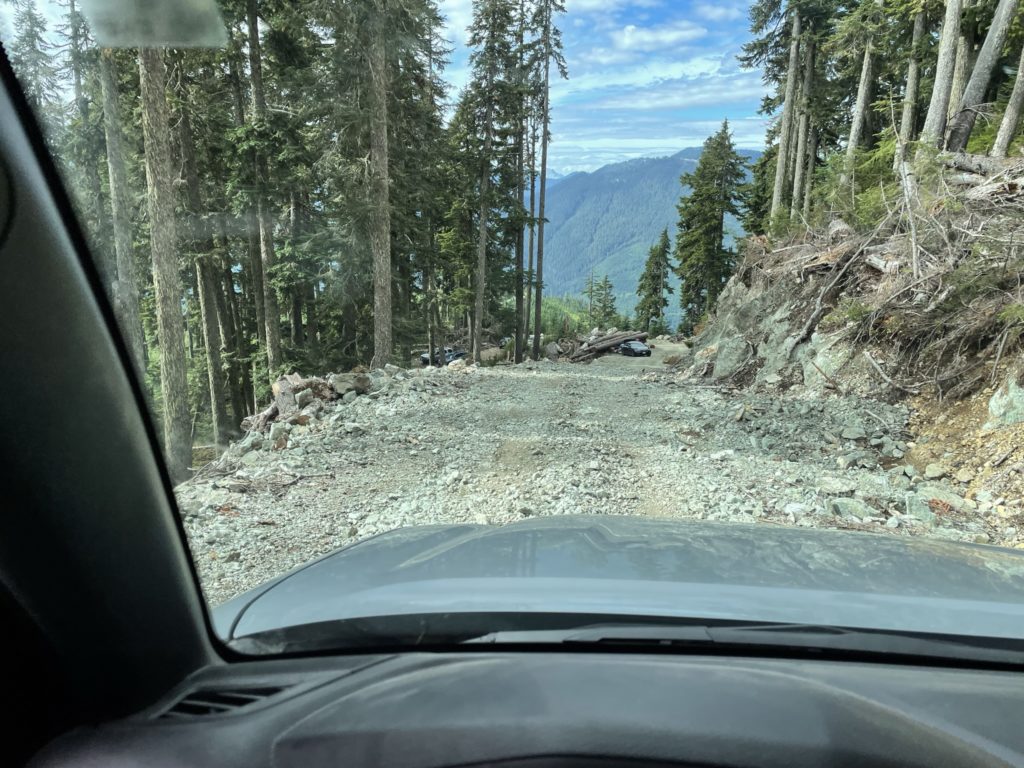
My friend Laura and I had been planning to do trail run out at Watersprite Lake in September, to help her train for an upcoming 50km ultra marathon. Unfortunately, when the planned weekend arrived, the Watersprite trail was closed due to an aggressive juvenile bear in the area. Not wanting to miss a perfect weather forecast for Saturday, we both started searching around for good alternatives. The route needed to be runnable to some extent and I was hoping to reach a summit as a side goal. A few options came up, but I found a good match with the route up to Seed Peak. This is an unofficially named summit located in Pine-Burke Provincial park. It’s about 40km of FSR travel east of Squamish, down Mamquam FSR, then E-Main and finally the E-100 spur. I showed Laura some photos of the area and she was on board. After finding some existing GPS tracks, I discovered that we could drive up to the highest point of 1400m, making the entire route around 10-12km round trip with only 1000m of elevation gain. Satisfied with the route, we made a plan to be at the trail head for around 9am.
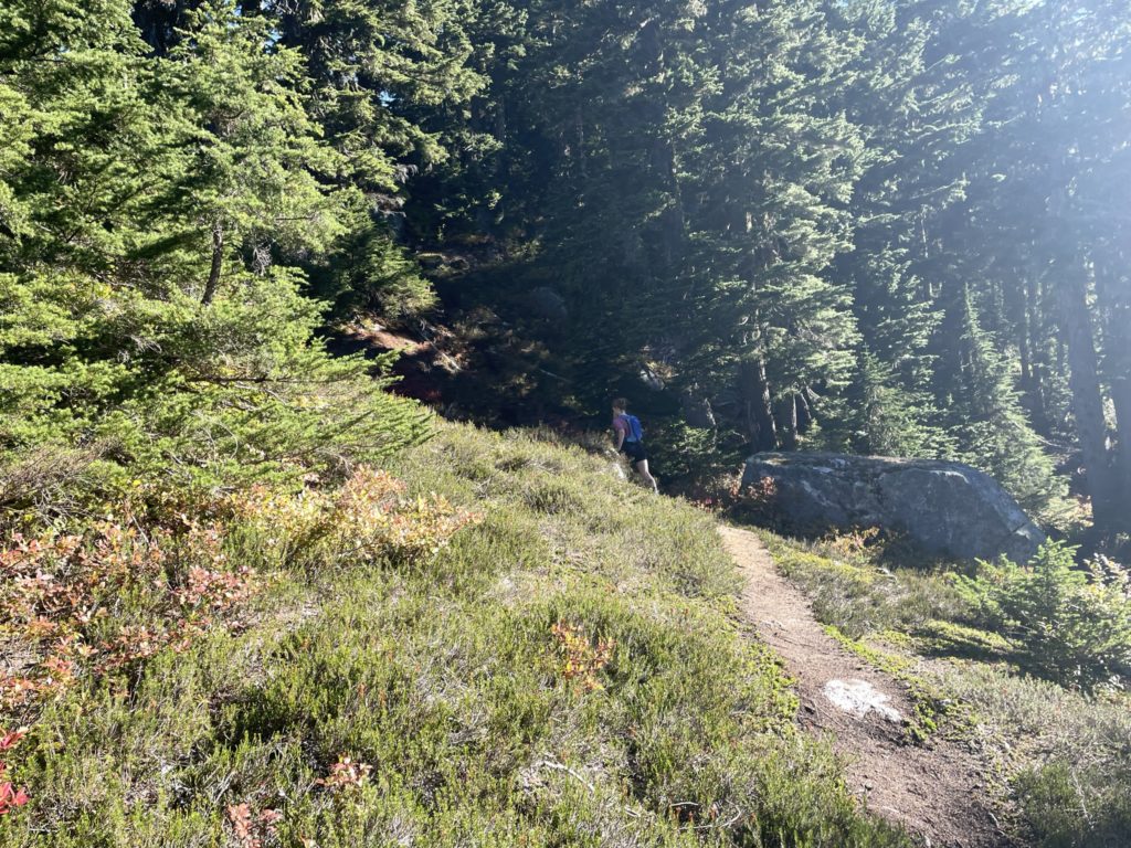
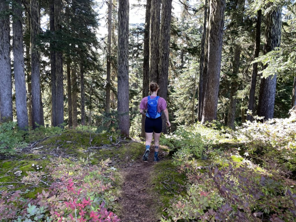
On the Saturday, I woke up at 6am and swung by Laura’s place in North Vancouver for ~7:15am. We made a quick Starbucks stop and then started the drive out to the trail head. By 9:15am we pulled in and were started up the trail around 9:34am. We followed a few flags through the cut block at the beginning of the trail, but quickly lost them. I had the GPS out and so we just continued a short ways through the forest with some minimal bush whack and we rejoined with the trail soon after.
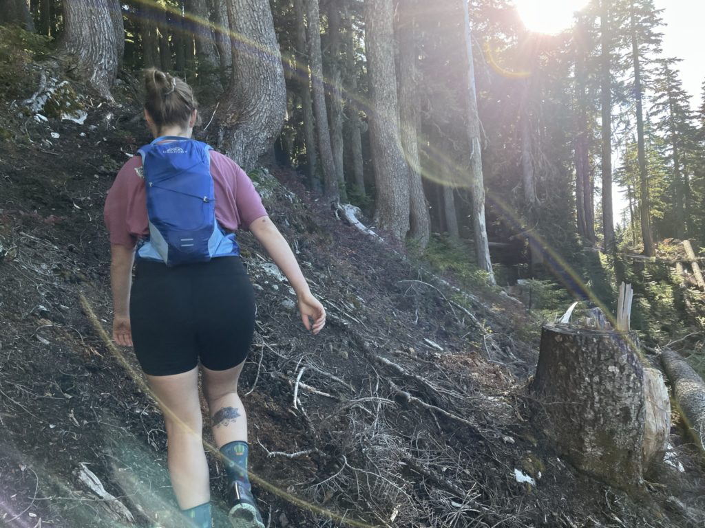
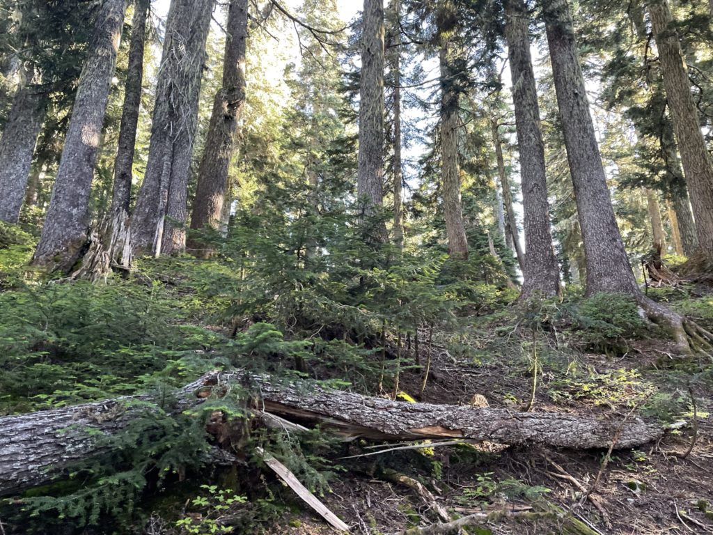
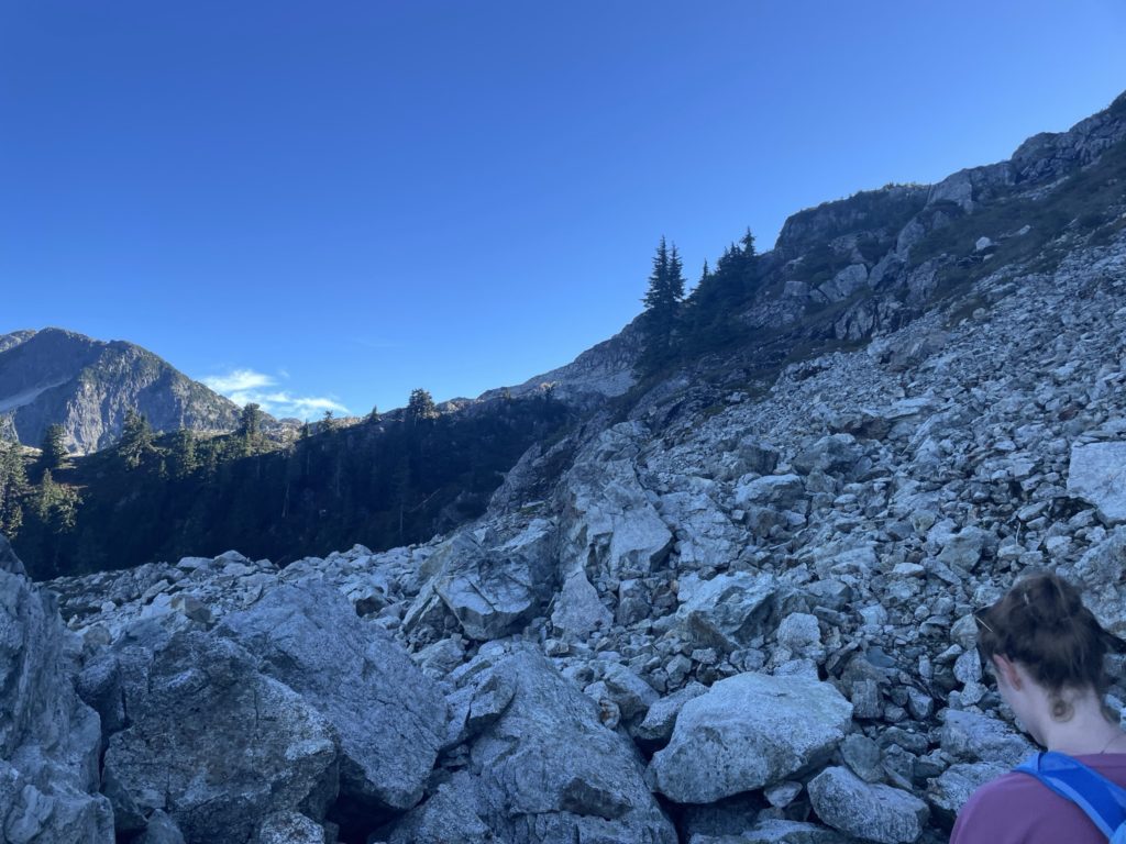
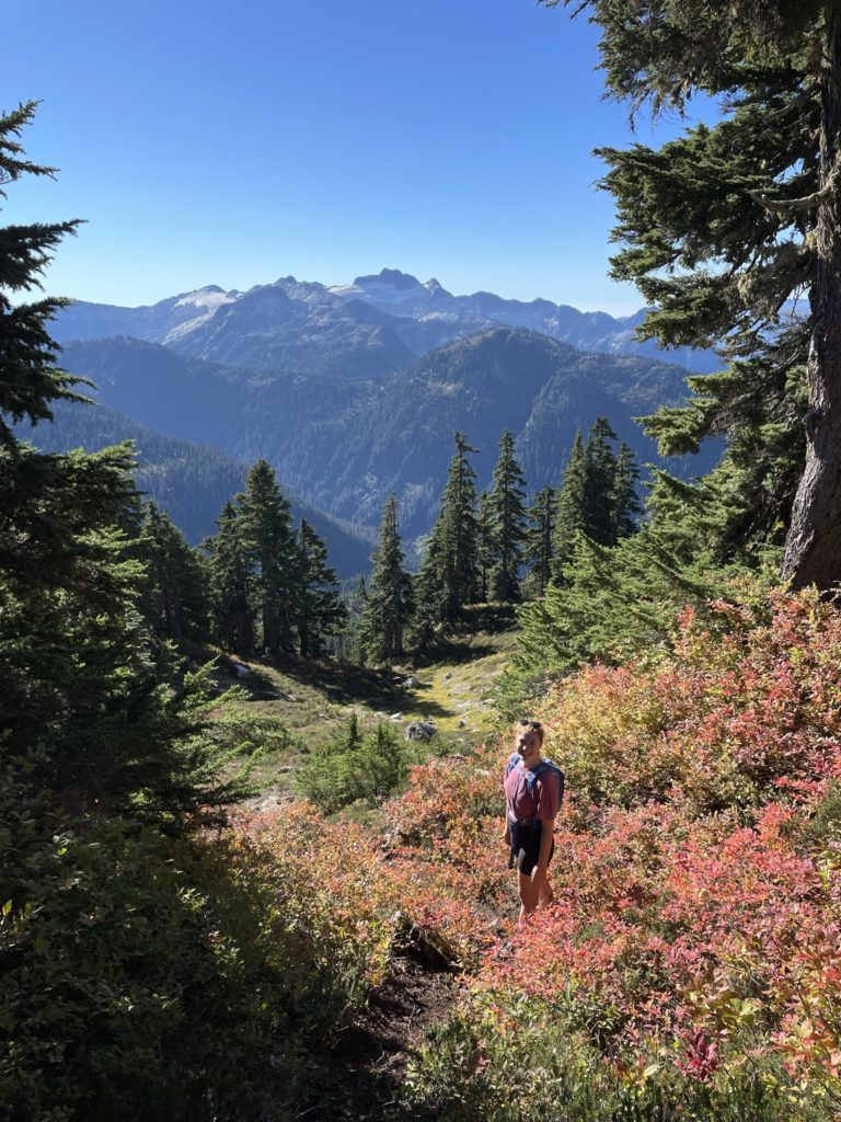
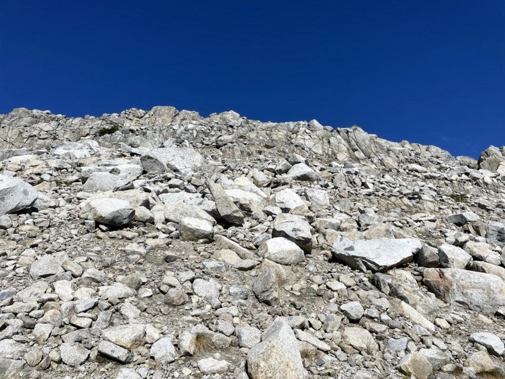
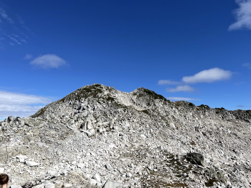
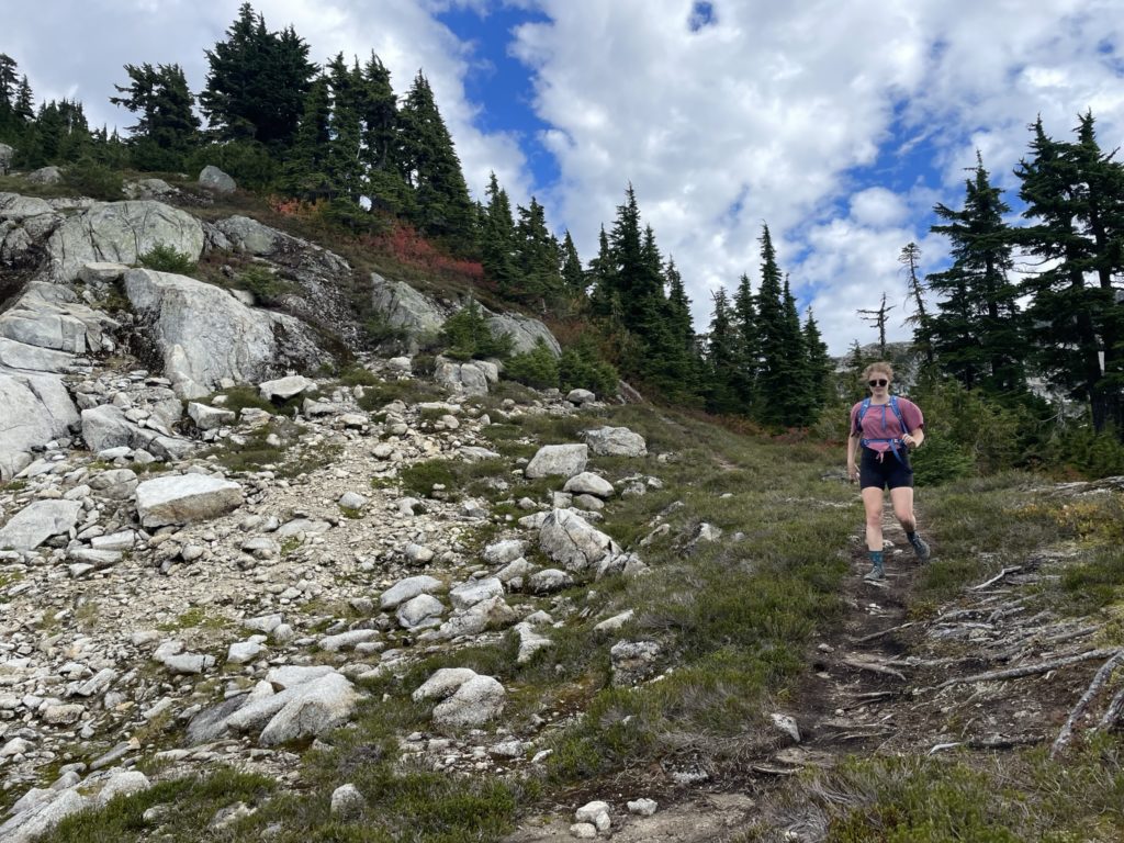
Once on the trail, we ran through the remainder of the short forested section before reaching a long boulder field. Here we traversed a ways across the boulder field after spotting a cairn, but the route markers disappeared again. I check my GPS and once again we’d missed a turn off. However, we fixed this course correction quite easily with a short scramble up a steep slope and then we were back on the ridge.
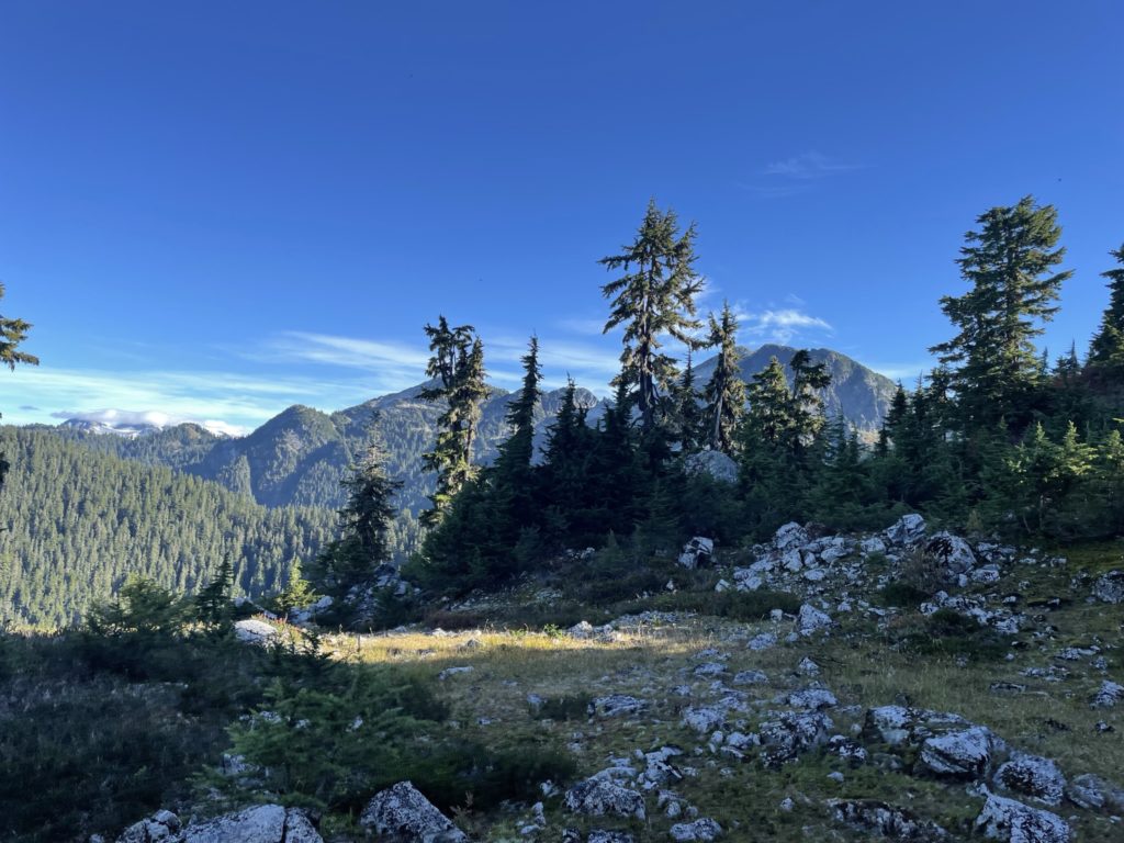
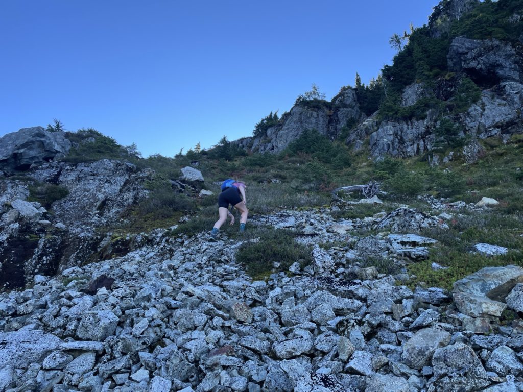
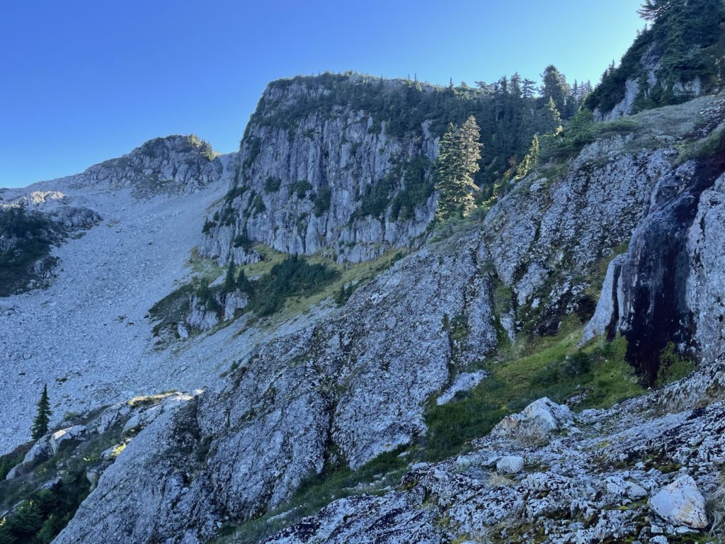
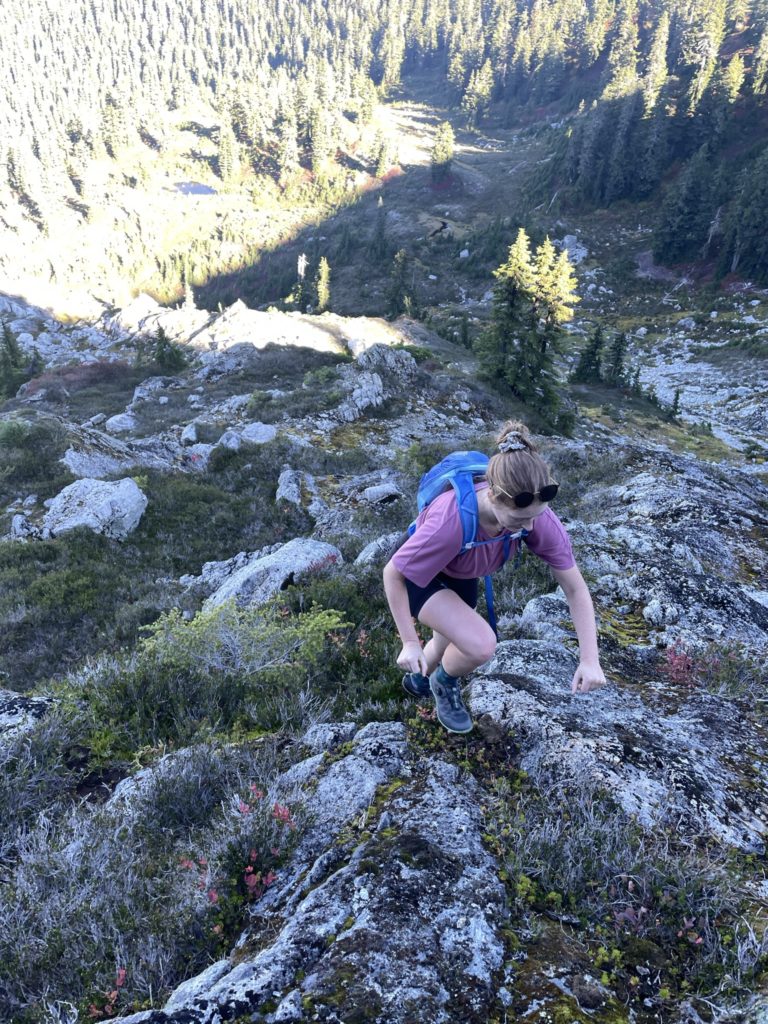
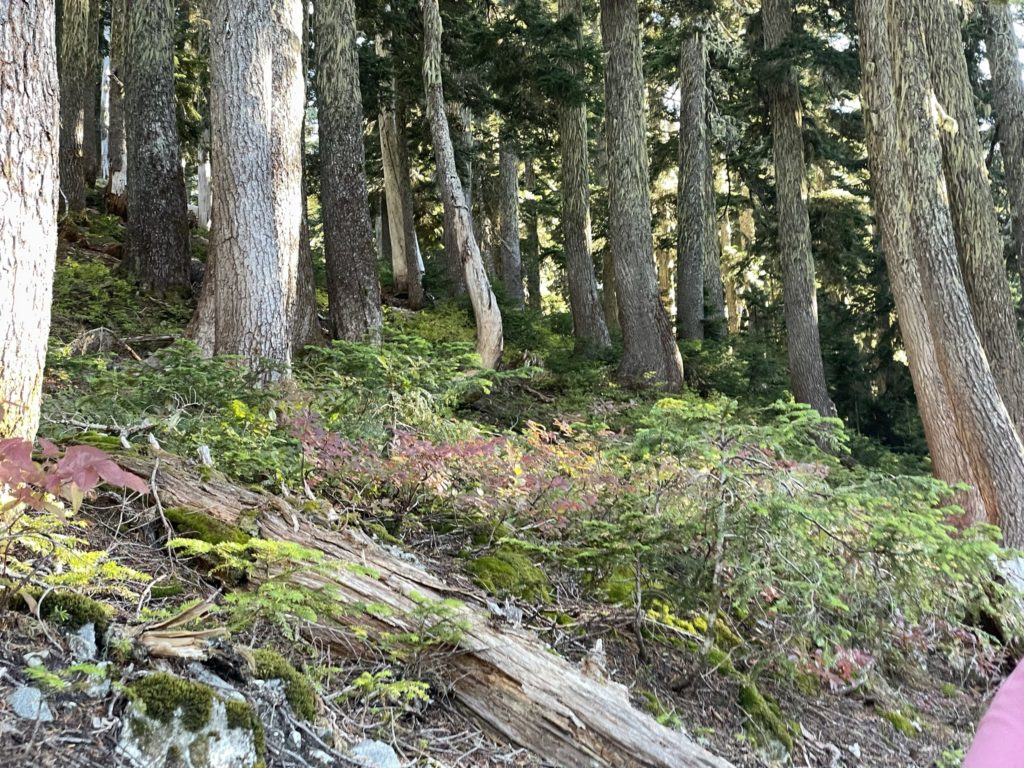
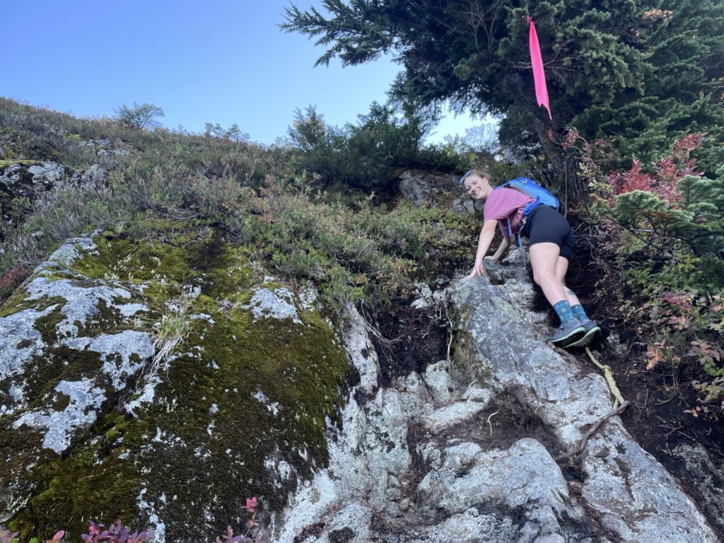
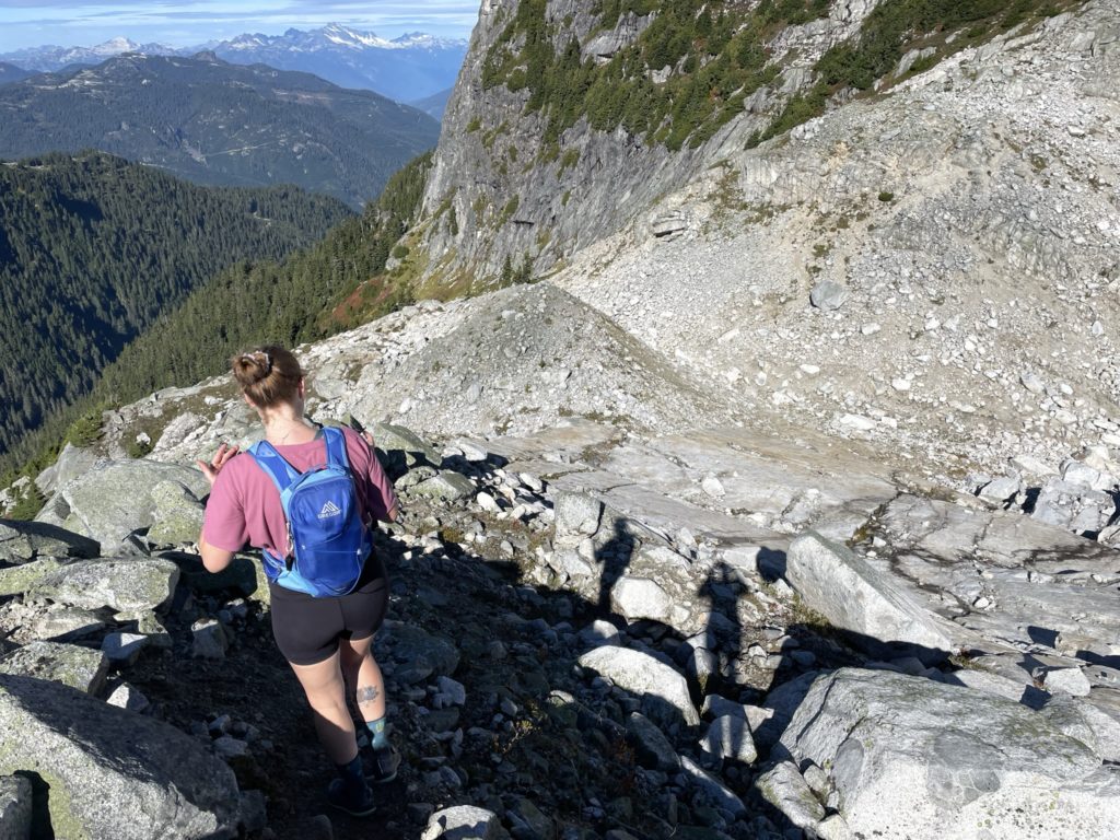
The trail then continued towards a steep high point on the ridge where a 3rd class scramble section awaited us. There was a rope tied for those that needed it, but Laura and I made it up no problem. From there we ran up and over the high point and then descended a short steep section on the other side. After this high point we descended down a mellow angled trail towards the lowest point in the ridge. Once at the low point, the trail steepened again and we started to meander up through the forested slopes.
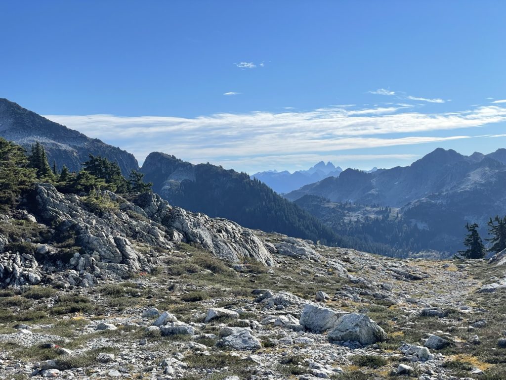
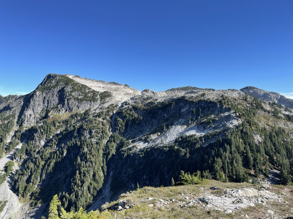
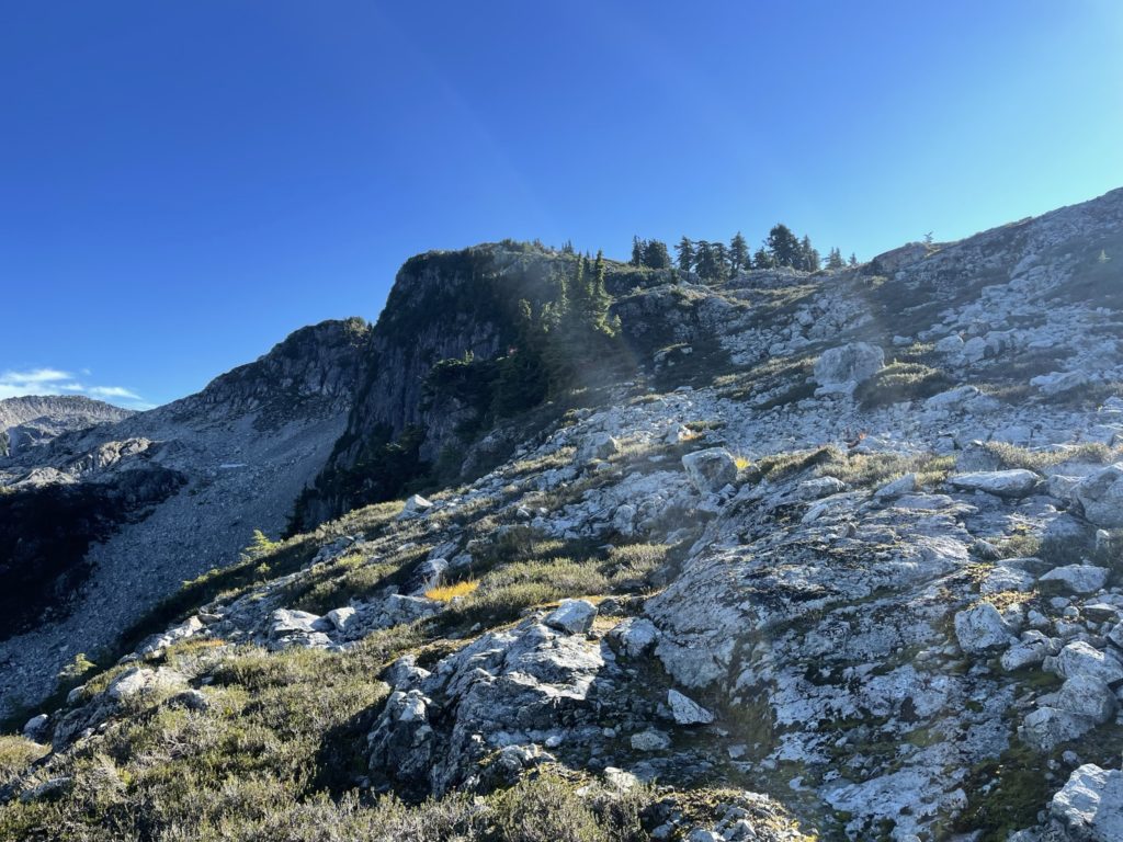
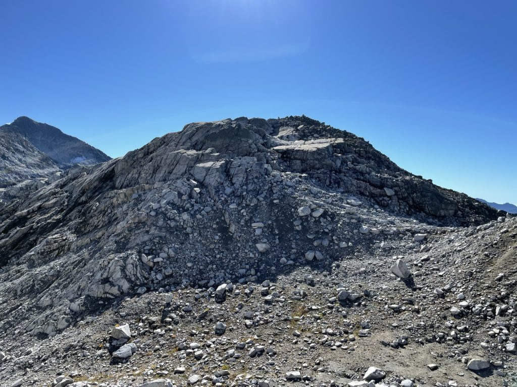
We made good time here and reached the base of a long and broad boulder field that guarded the summit of Seed Peak. I lead the way through this part with a few undulating sections of ridge that never went more than 2nd class. After the rocky ridge on climber’s left we stuck to the treed ridge line along the western side until we topped on the summit ridge.
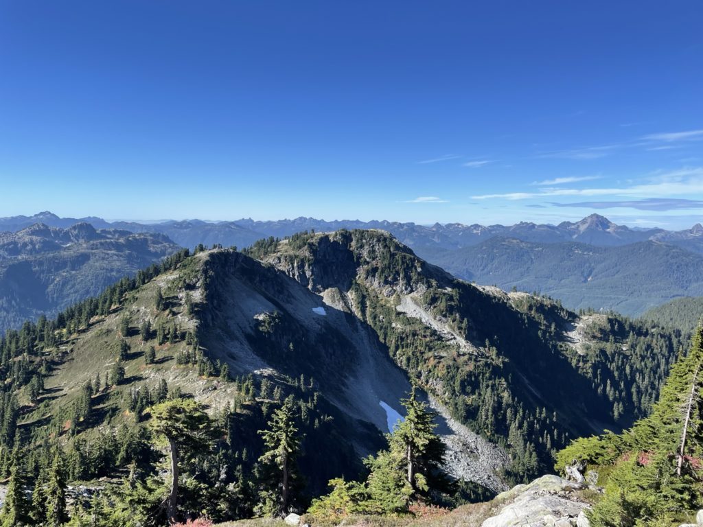
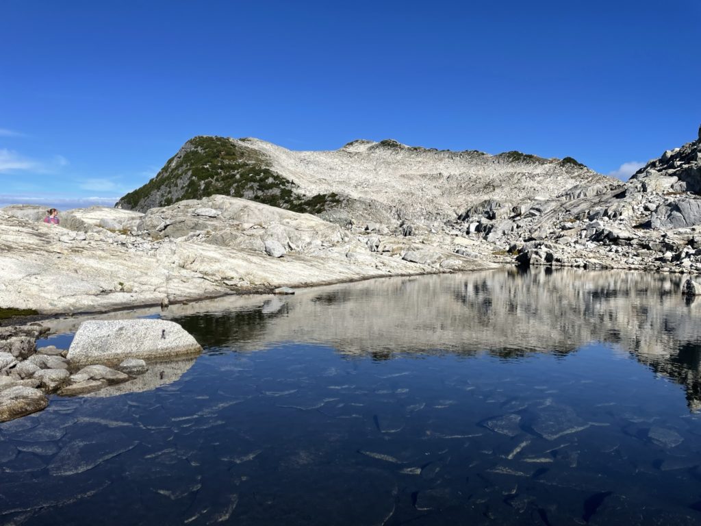
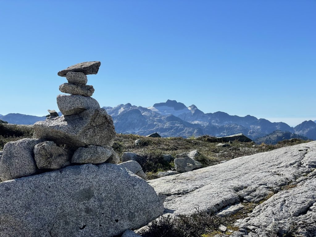
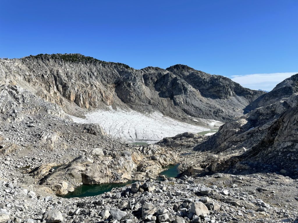
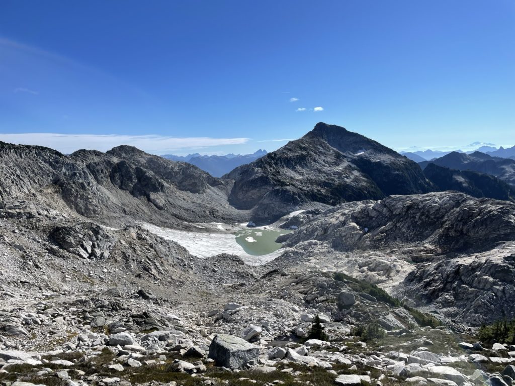
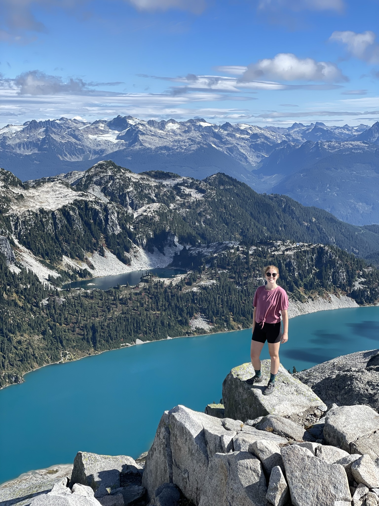
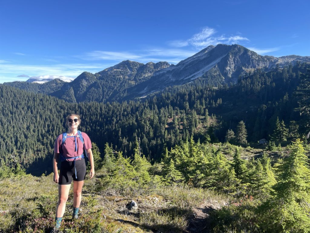
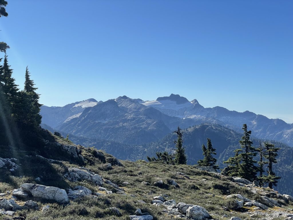
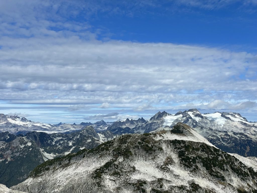
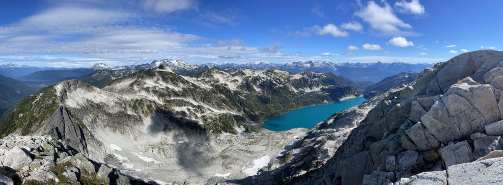
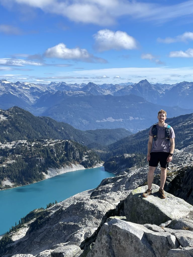
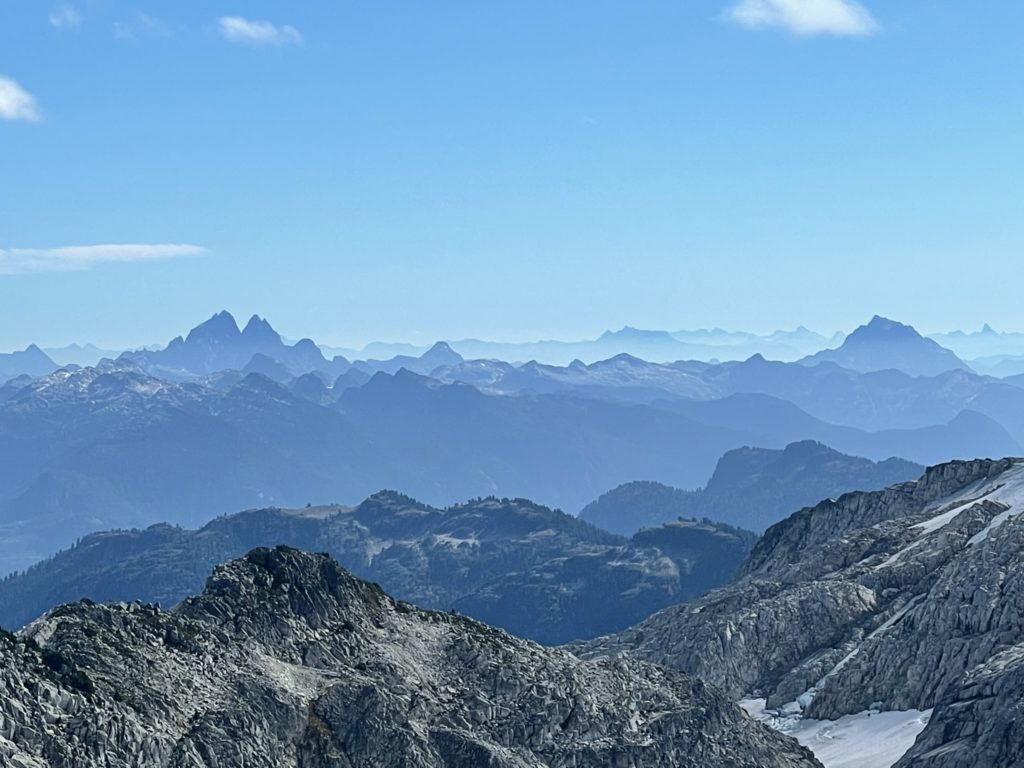
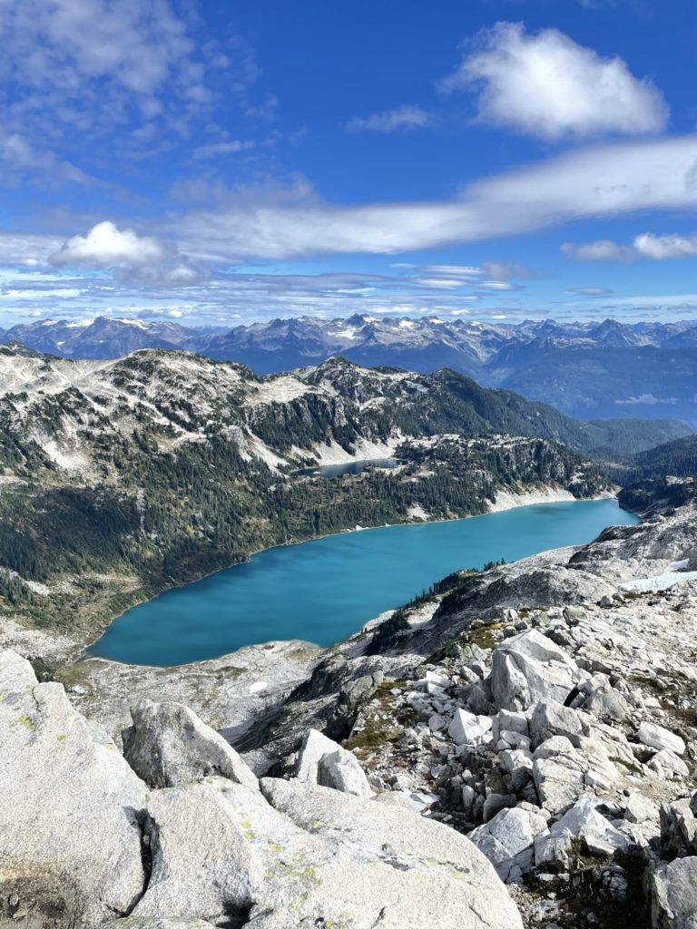
From the ridge, it was another 10-15 minutes of boulder hopping to reach the summit. Altogether we made it to the top in around 2 hours. At the summit we had phenomenal views of Pinecone Lake, Pinecone Peak, Mt. Gillespie and more remote ranges such as those around the perimeter of the Stave Glacier. We spent around 20 minutes on the summit taking photos and then started our way down. Both of us had evening plans back in town, so I’d have to save the other peaks for a different day.


We retraced our steps back to the treed ridge line and ran back down to the more open bouldery slopes at the bottom. A bit more running later and we were now descending to the lowest point in the ridge to Seed Peak’s base. I got us off route at one point, but the terrain was easy to manage and I got us back onto the track with only a few meters of bush whacking.
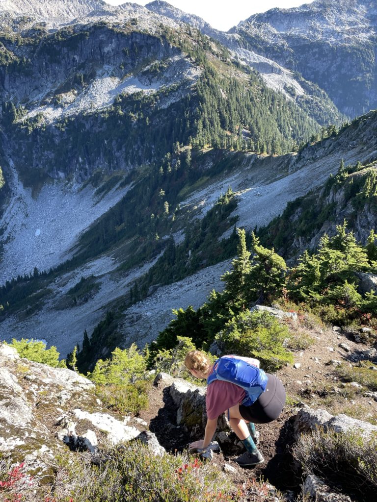
The ascent back up to the ridge high point was uneventful and then we soon reached the roped scramble section. Laura was planning to use the rope to descend, but I insisted she down climb to build up her skills. I helped guide her foot placements down and she descended rope-free without any issue. We then continued along the ridge, this time locating the trail above the boulder field and descended back into the forest.
Shortly after, we were at the cut block again with a round trip time of 4 hours and 23 minutes. The effort to reward ratio on this one was amazing. Pinecone Lake is exceptionally beautiful and the whole area feels very remote. I’m by no means a trail runner, so I was a bit worried how I’d do following behind Laura, but in the end it worked out super well and this was a perfect outing.