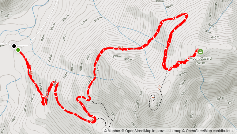
Elevation Gain: 568m
Distance: 9.8km
Total Time: 3 hours 8 minutes
Date: September 10th, 2021
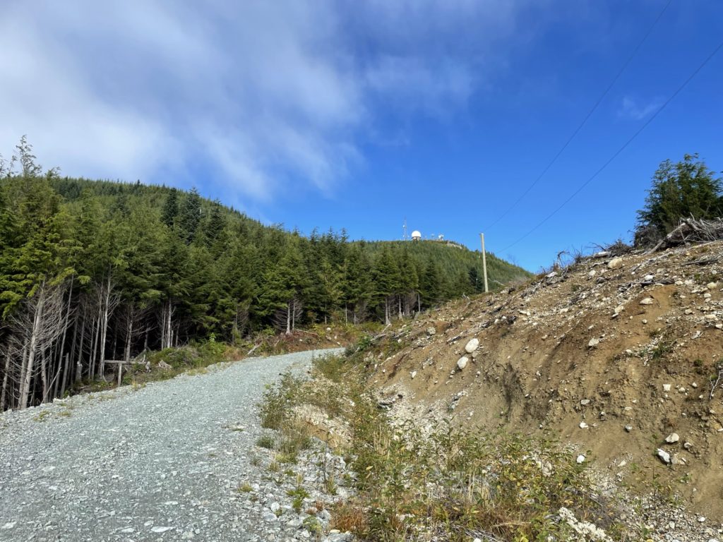
Mount Ozzard is the principal summit across from the Ucluelet Inlet and overlooks the entire Uclulet peninsula. It’s well known in town, thanks to a large and highly visible radar dome situated on its western most flank. I had seen this radar dome on several other trips to the island, but was usually preoccupied with surfing and other activities. Based on my research, it seems the vast majority of people ascend to the radar dome via the convenient but trivial forest service road to the top. Few people venture to the true summit which boasts no views, trail or anything of particular interest. The lack of beta online, made it all the more enticing however.
On this particular weekend, we had finished up a late morning surf session and had a whole afternoon of good weather to take advantage of (a rare occurrence in the fall). While this trip was primarily focused on surfing and relaxing, I couldn’t pass up the opportunity and thankfully the majority of the weekend crew I was surfing with was onboard to try it. We stopped at camp to drop our friend Kyle off after surfing and then Sara, Jacob and Winston (the dog), all jumped into Kyle’s truck and started the drive to the trail head.
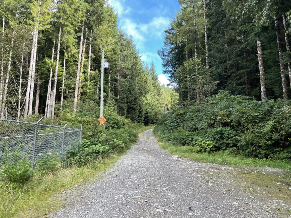
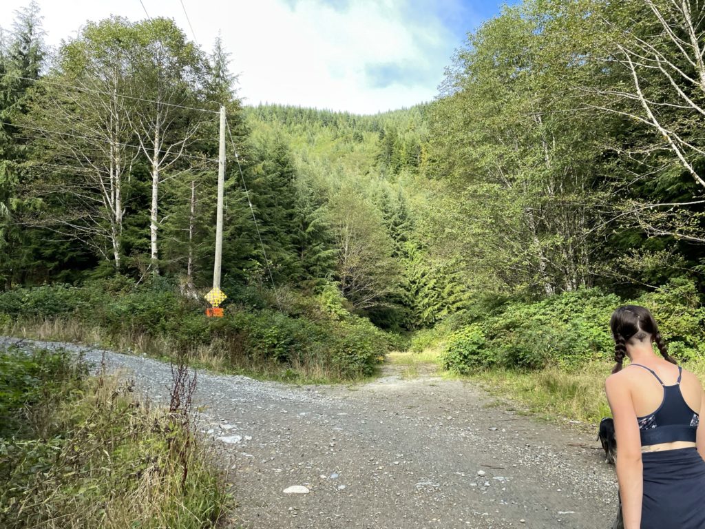
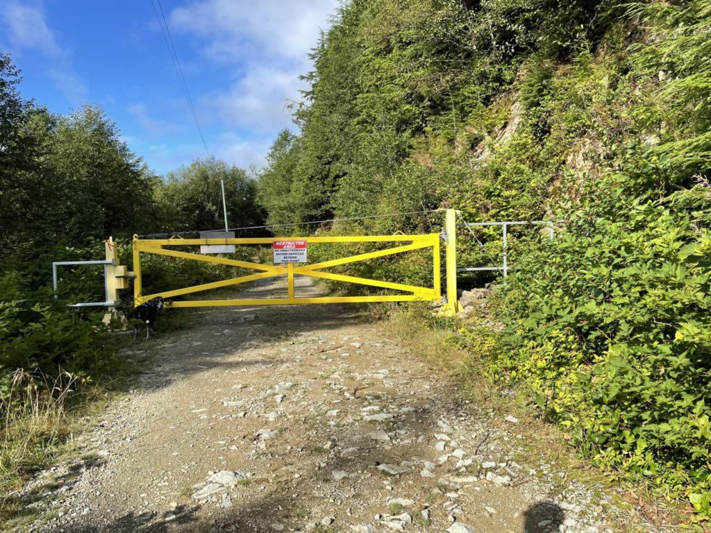
The drive was straightforward along paved roadway and then a few km on a smooth FSR before we arrived at the gated entrance to the radar-dome road. The max elevation gain appeared to be under 600m and most of it on a maintained road so we packed light and started our way up.
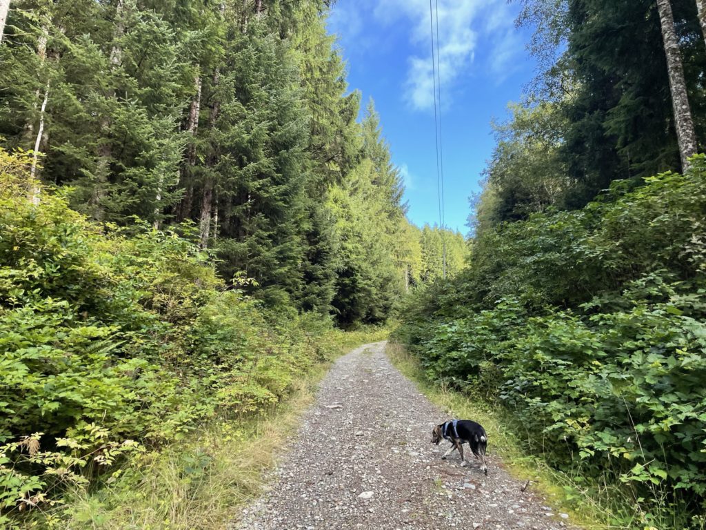
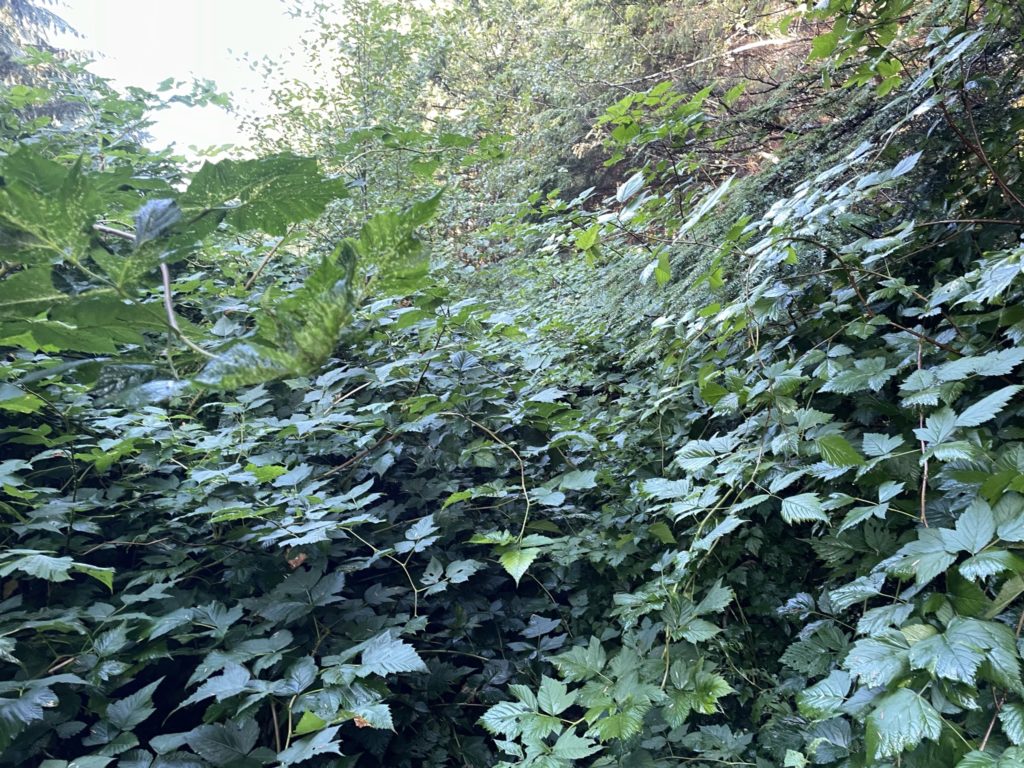
There’s not much to say about the road up, but it occasionally boasts some views of Ucluelet and no shortage of bear droppings along the way. Once we passed the last switchback between us and the true summit, we started scouting for signs of a trail along the road. None seemed to manifest and so we opted to continue all the way up to the ridge between the radar dome and the true summit. Here we spotted an old deactivated FSR and figured we could give that a try. The first 15m was clear and then it quickly turned into dense bramble with a narrow foot bed. We pushed another 15-20m through the bramble and then decided to turn around as it did not appear to let up.
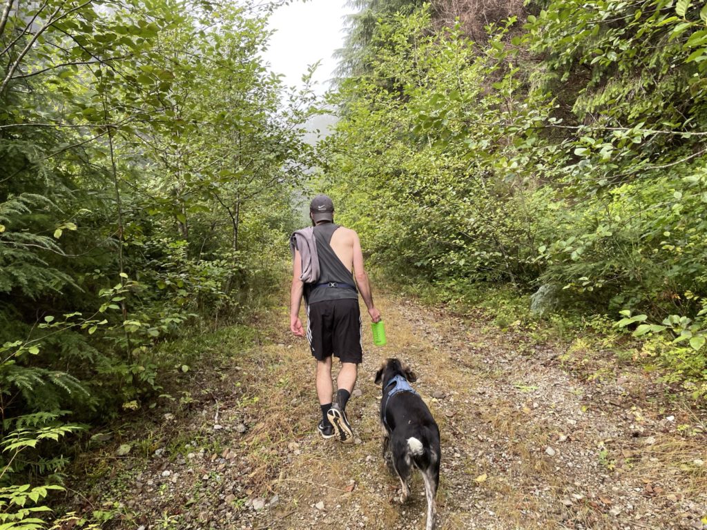
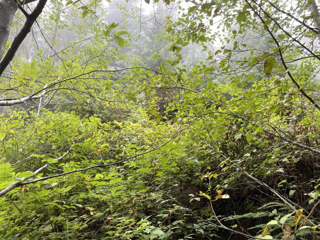
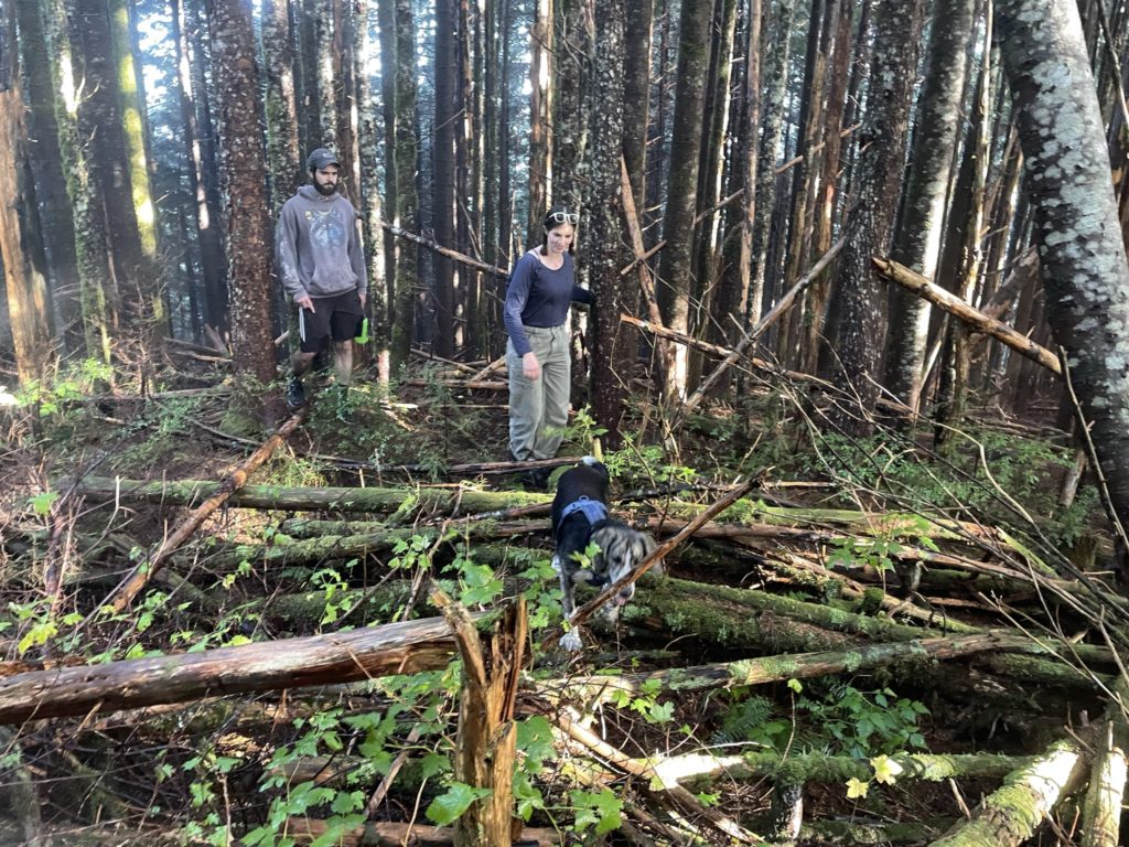
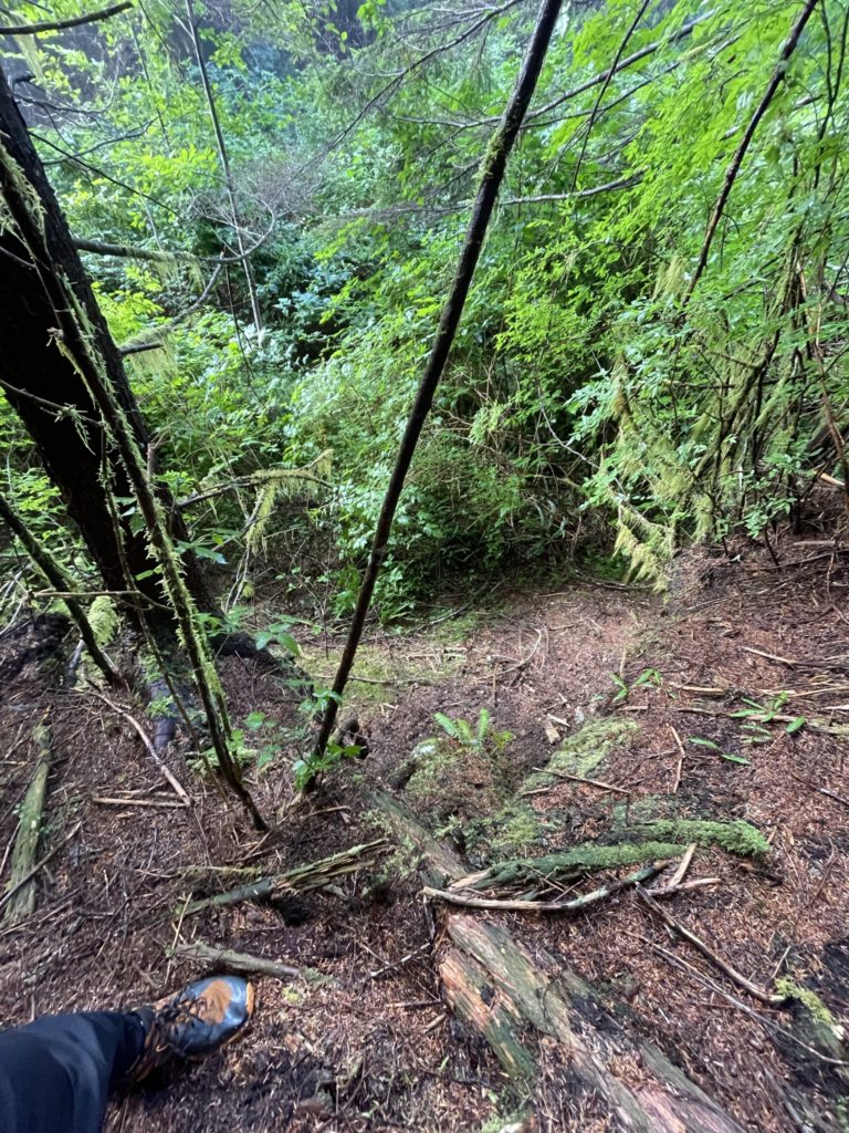
Along the climber’s right of the road we could see the forest opened up, but there wasn’t a great way to get there with micro terrain guarding the sides of the forest. We tried again at climber’s left through what we thought was a trail, but it lead to nowhere. Searching a bit further, I decided to push a bit deeper into the bramble and this time it netted us an opening to the forest. Sara and Jacob carefully navigated through the dense thorny bush and then popped out onto a clearing between the forest and the road. Here we had a short step to overcome and then we were out in the open forest.
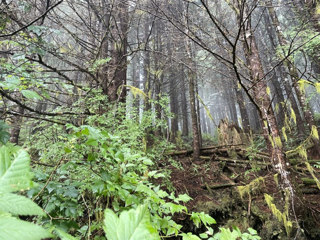
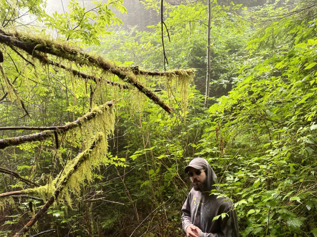
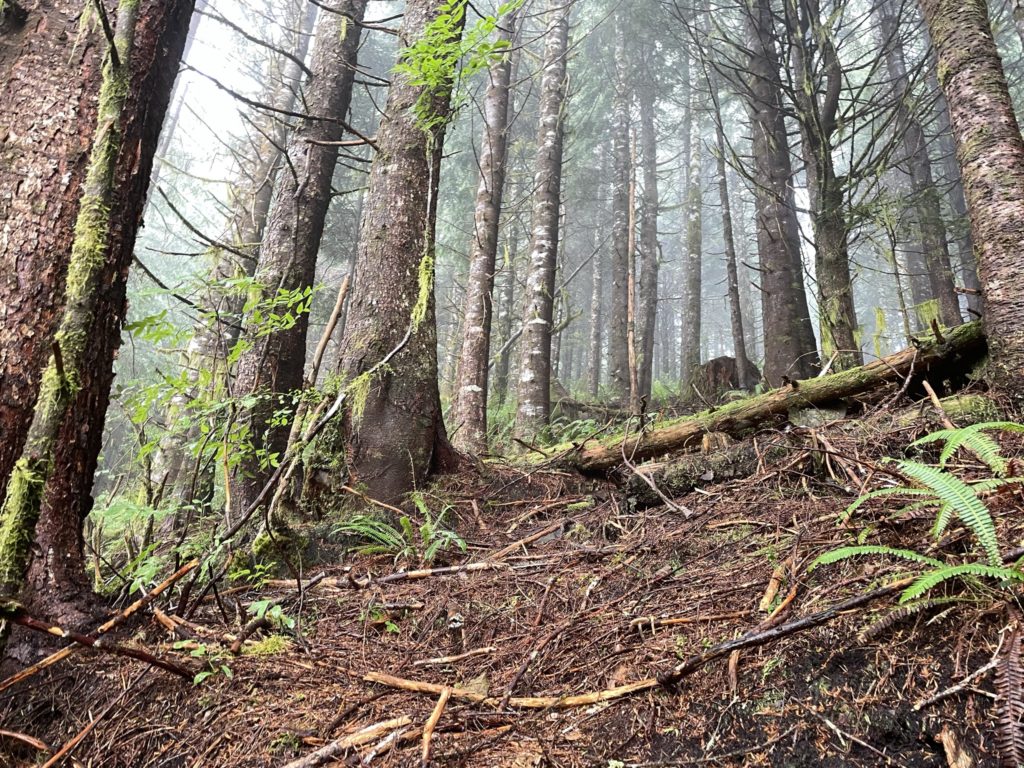
Navigating through the forest was straightforward enough and we only had a few areas of dense dead fall to contend with. The route to the summit was obvious as the ridge trends upwards to the top with nothing to misguide you in the wrong direction. Before long, we stood on the forested summit and confirmed via GPS we were at the true top. I figured when we reached the summit we might encounter a flagged trail or some obvious foot path, but none existed. It seems unlikely many people bother with this summit at all save for the peak baggers out there.
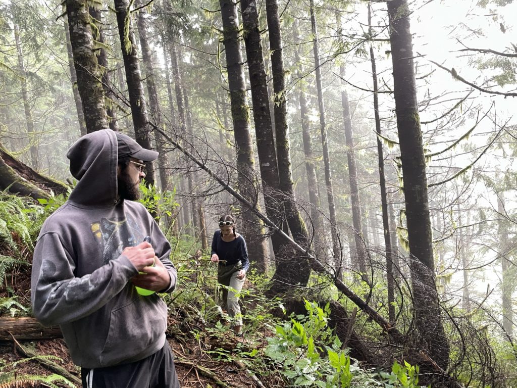
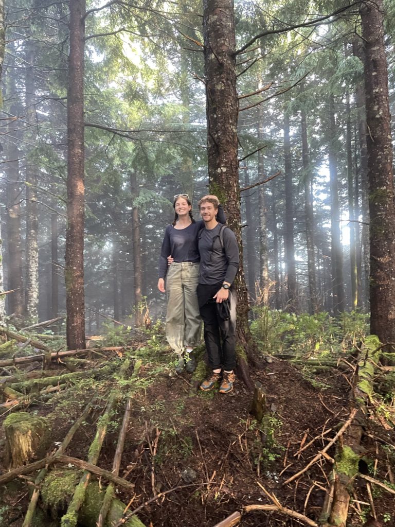
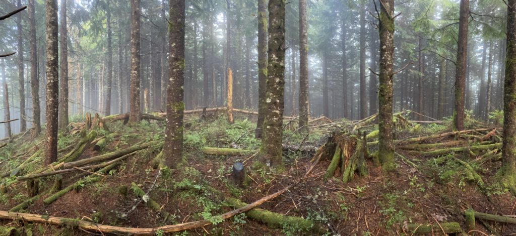
At the top, the wind moved more freely through the trees and brought a cold, moist air past us and cooling us off significantly. We only stood around long enough to take summit photos and then began our descent down. It was mostly a case of back tracking our original track and while we dropped down the FSR a bit too early it was easy enough to retrace our steps to the initial opening afterwards. Once we pushed back through the bramble, the bushwhacking was out of the way and so began an easy descent along the road back to the truck.
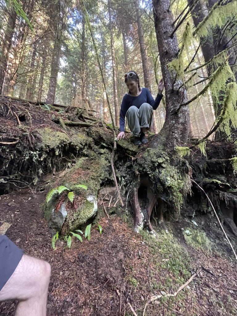
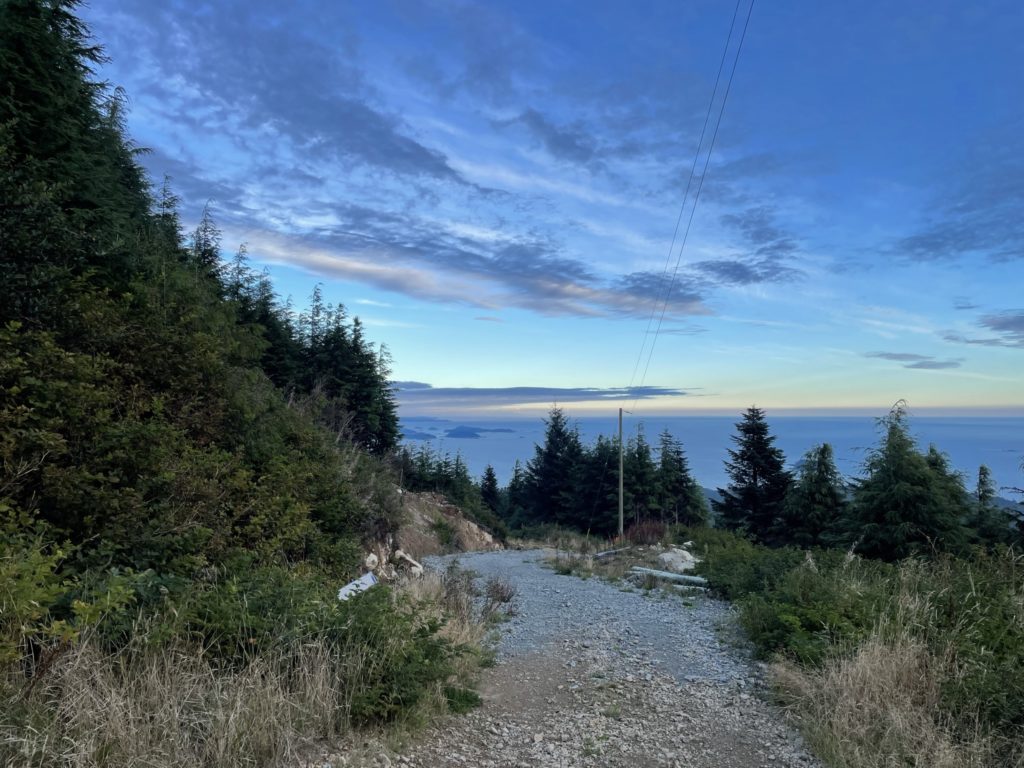
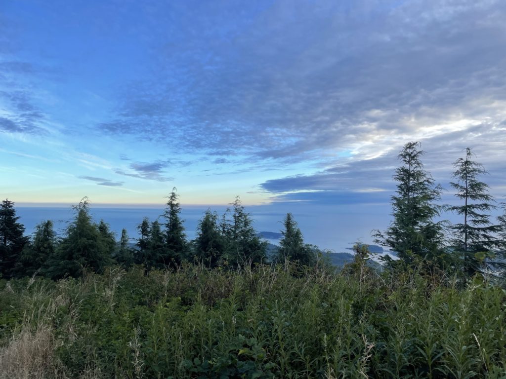
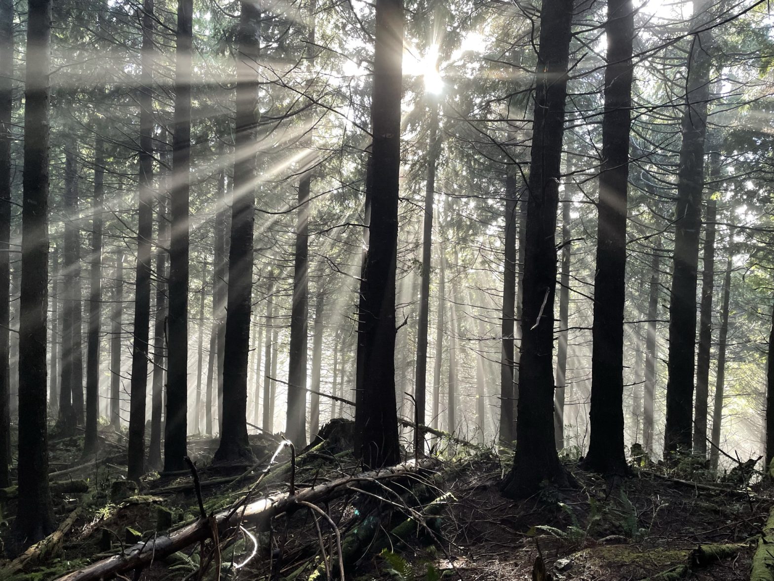
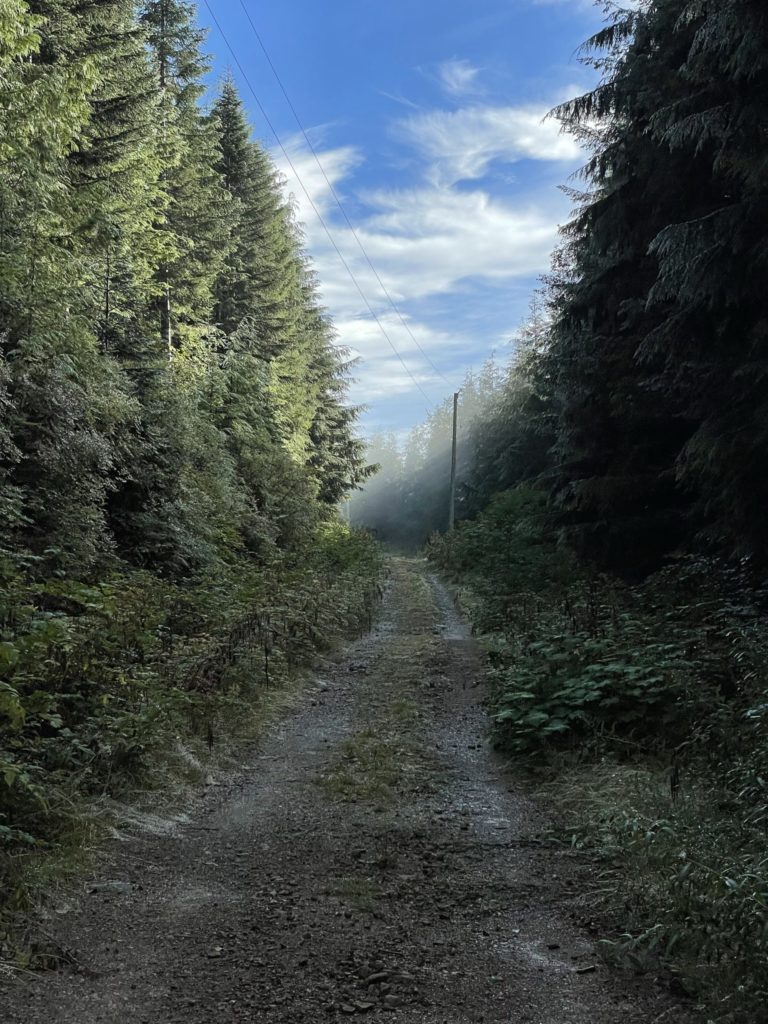
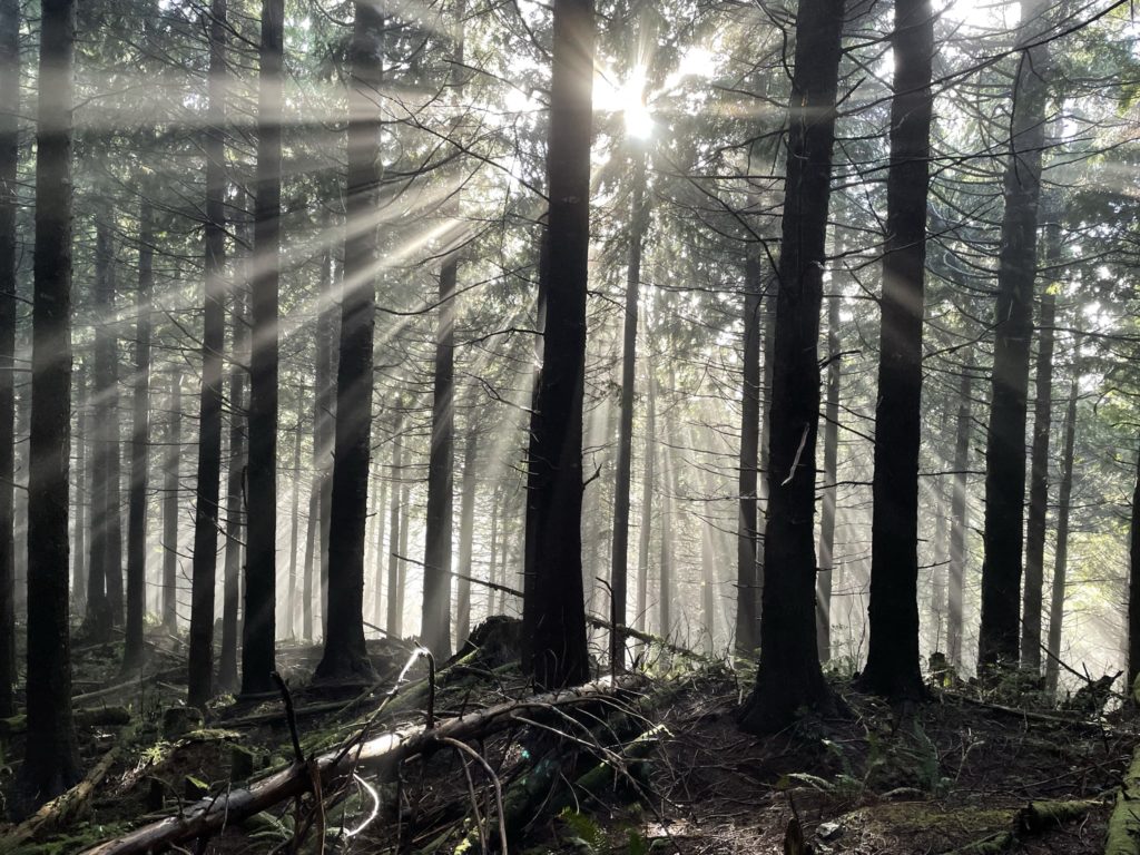
Despite the summit being entirely covered in forest, we still had rather picturesque views with fog and sun combining to make interesting rays of light through the forest. If you don’t mind a short 2-300m bushwhack, I would certainly tack on the true summit for a slightly more interesting outing. If it’s not your thing, the Radar Dome still offers great views, although we didn’t bother to visit.
