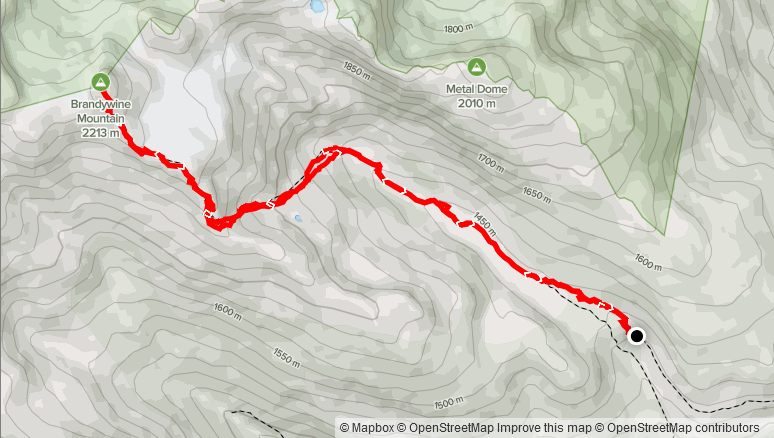
Elevation Gain: 922m
Distance: 11.42km
Total Time: 6 hours
Date: August 29th, 2021
After a successful Saturday grabbing The Still, Stewart Peak and Knight Peak, I had the Sunday set aside for a family hike. My mom was in town and hoping to get my brother, his girlfriend Lisa, my girlfriend Sara and our dog (Winston) out for a more leisurely hike together. She left the peak selection up to me and so I had a look around for some good options. One of my searches produced Brandywine Mountain, which initially was a no-go due a 15km round trip and 1000m+ elevation gain. However, I discovered that with a high clearance 4×4, one can reduce that trip to 9.5km and 800m of elevation gain. I knew from previous reports that this mountain had a bit of everything with lush alpine meadows, rugged glaciers and some moderate scrambling, so it became the natural choice.
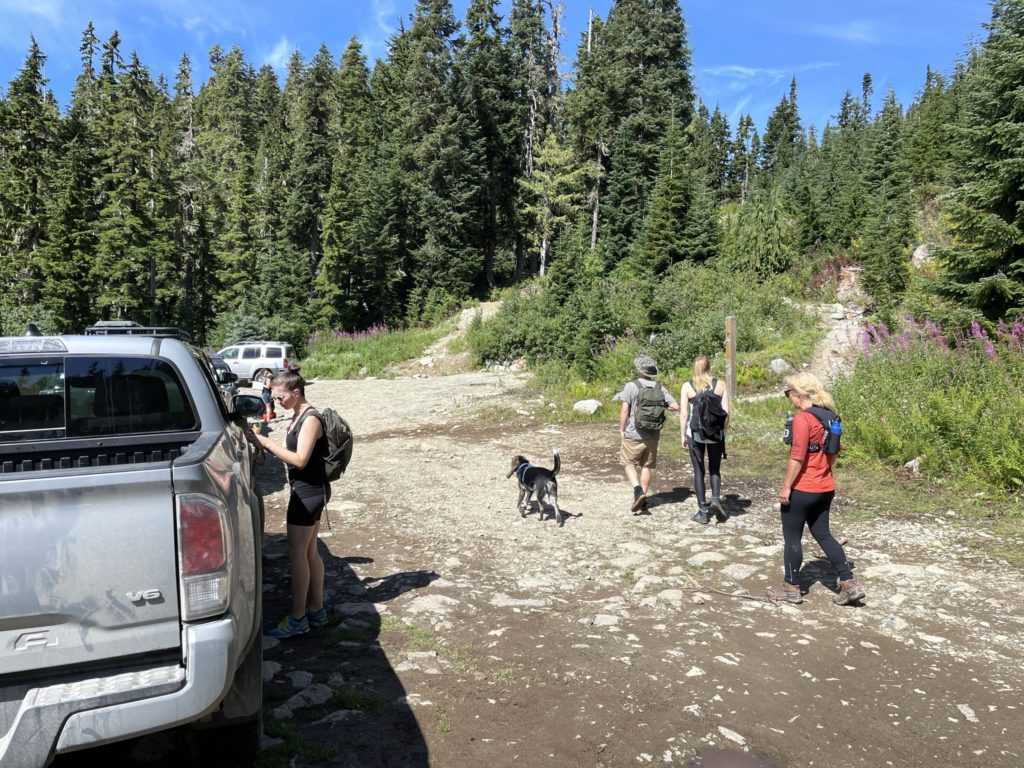
I was in charge of getting everyone up to the trail head, so we all met at my place around 9:15am and then loaded up into my truck. It was about 2.5 hours from Vancouver with a fair bit of that spent on the slow going Brandywine FSR. There were some large water bars to contend with, but overall the FSR was actually in pretty good shape. I got everyone to the trail head safely 12:10PM and we took our time getting ready as there was no particular rush. By 12:30PM we were on our way.
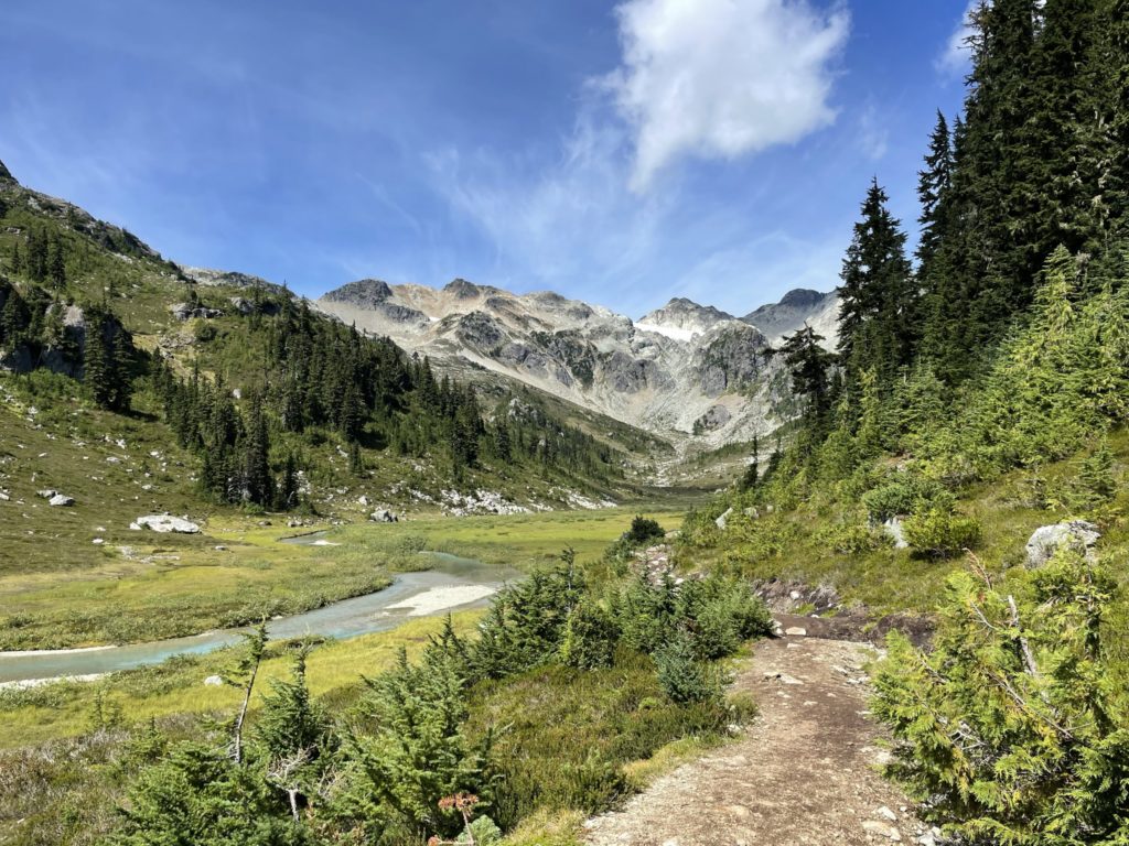
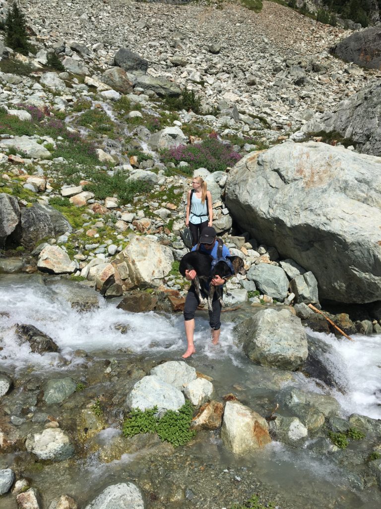
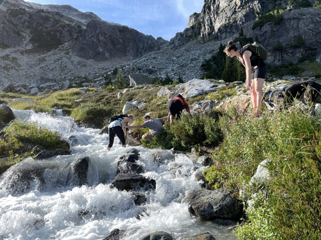
The trail started by ascending a short ways along a closed off portion of the FSR but opened out to the Brandywine Meadows shortly after. From the bottom of the meadows there were great views of the summit, lush fields and clear running water. It was clear now why this area is so popular. We continued along the well maintained meadow trail all the way to the western terminus of the meadows. Here we had to contend with a creek crossing. Normally, this would be pretty straightforward to cross, but Winston (our dog) couldn’t cross on his own. He’s just shy of 60 pounds, so I had to find a crossing that would accommodate myself and Winston in my arms. Eventually such a spot was found and after some strained movements, we made the crossing without slipping.
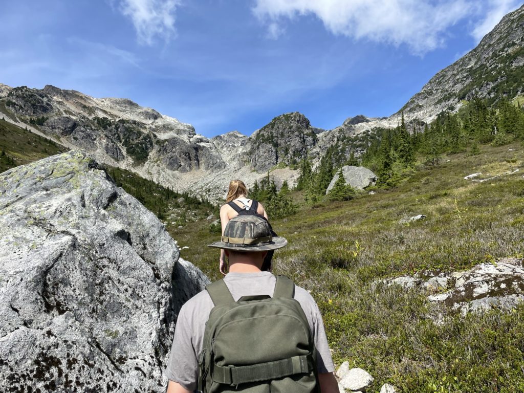
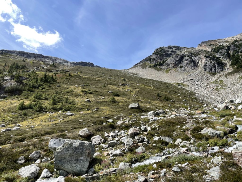
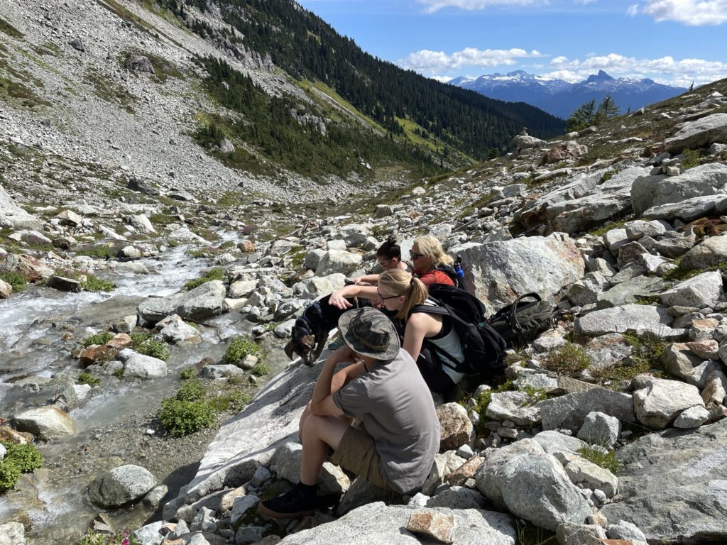
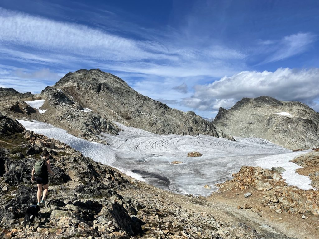
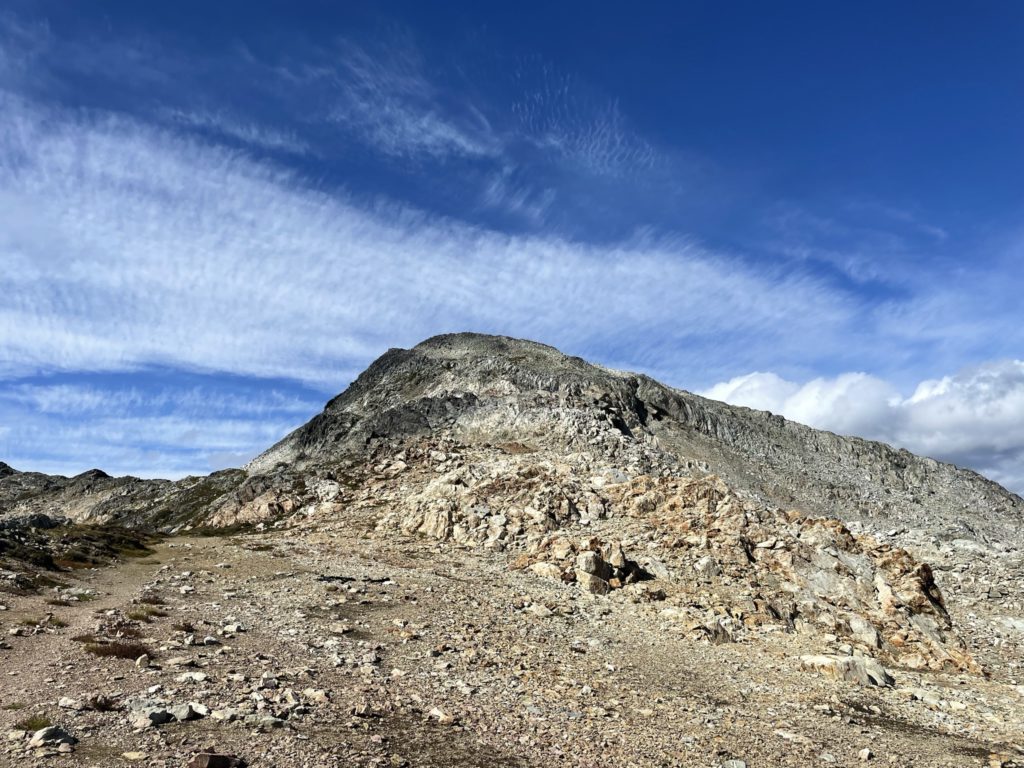
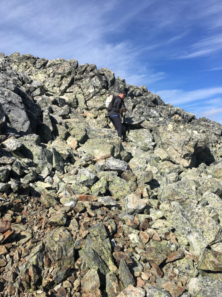
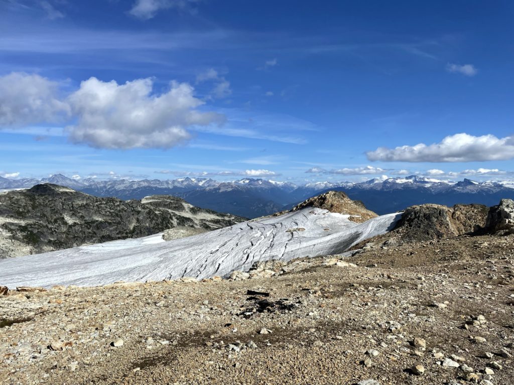
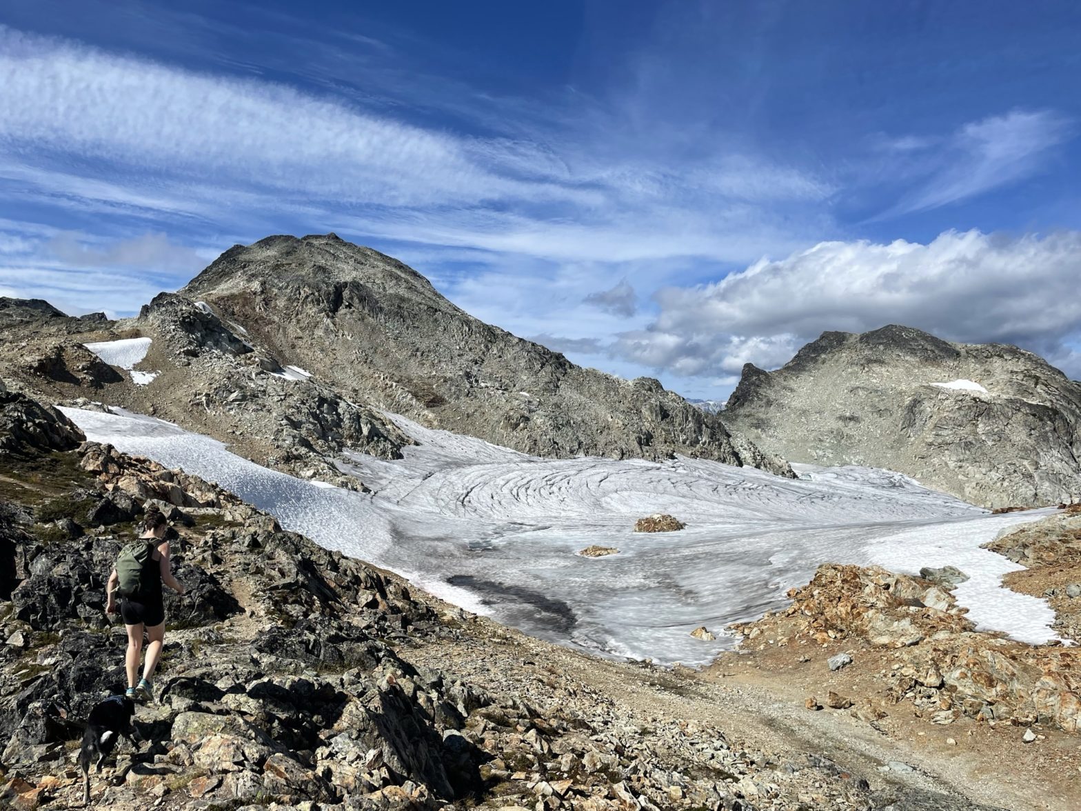
Everyone put their shoes back on and then we started our way up the moderate heather slopes to the mid way point. At the mid way point, the heather turned to a long boulder field and our pace dialed back a bit. It was straight forward enough to ascend though and soon enough we crested over the ridge. Once on the ridge, we had a few more steep slopes to contend with but eventually broke out onto the upper section of the Brandywine Glacier with some amazing views. We continued along the ridge above the glacier a ways and paused about 400m from the top. Despite the good progress we were running a bit short on time to make it back down and so Lisa, Simon and my mom opted to turn back knowing that Sara and I could pick up the pace and rejoin them after the summit.
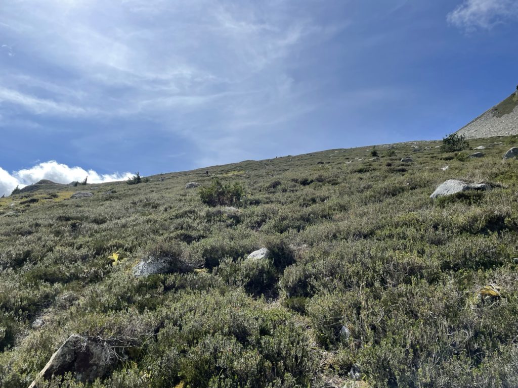
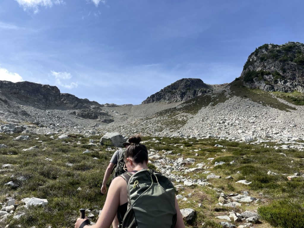
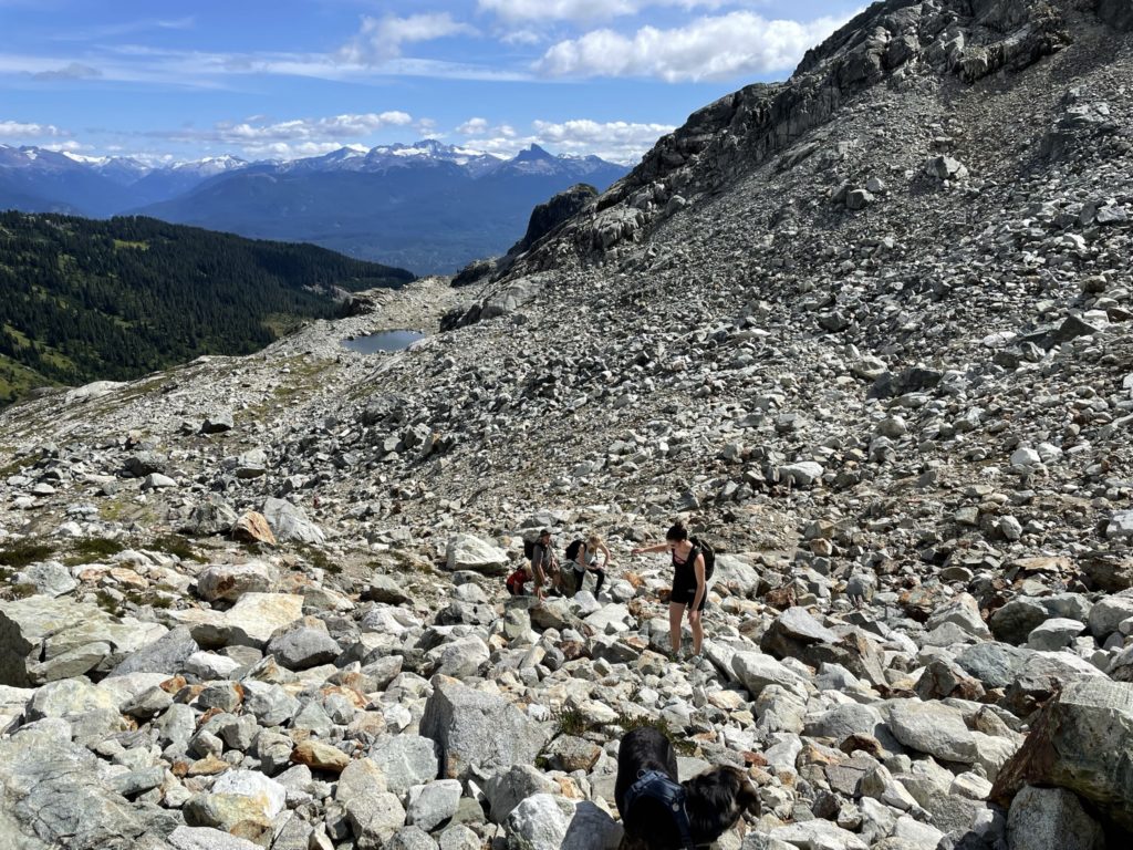
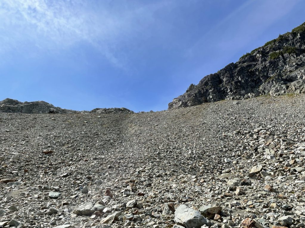
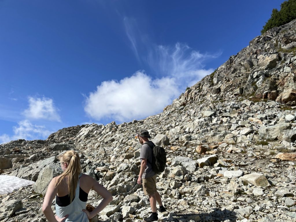
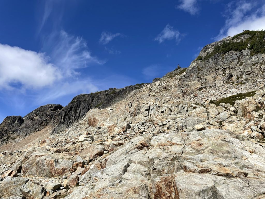
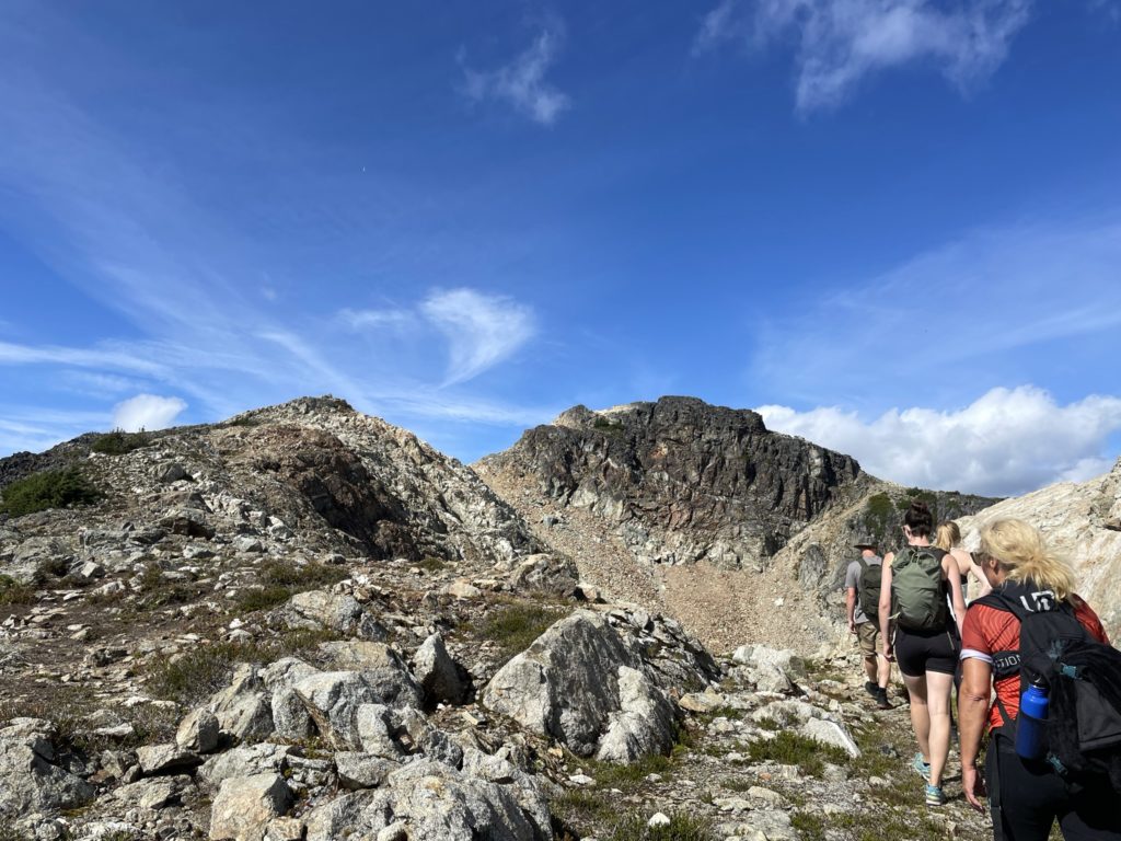
After splitting ways, we continued on the foreshortened ridge to the summit. A few parts of the ridge had large gaps in between the boulders which made our dog Winston apprehensive. We had to carefully coach him through some sections and others just flat out picked him up to safer ground. Eventually we reached the end of the ridge and then started up a small weakness in a headwall above the ridge. Once above the headwall, it was basic boulder hopping all the way to the summit. A few sections slowed us down along the way while we navigated Winston through, but we made it to the summit intact.
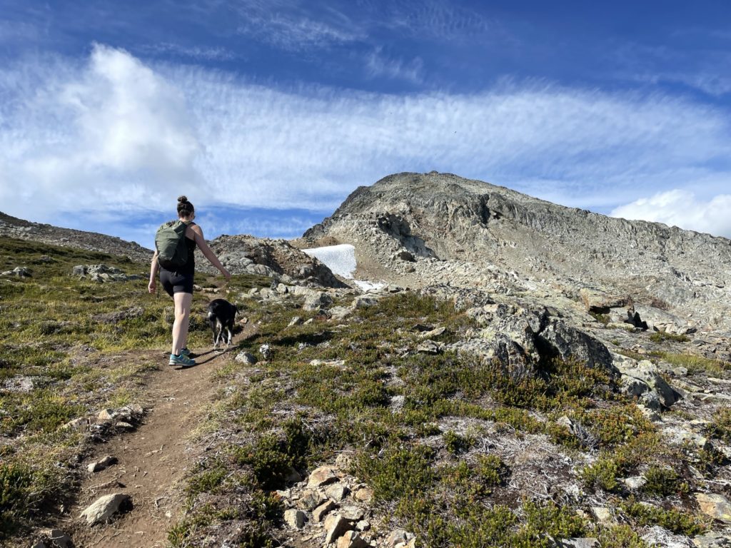
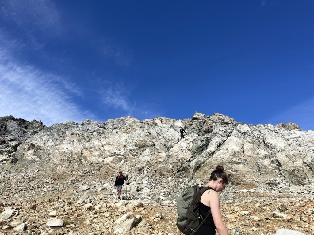
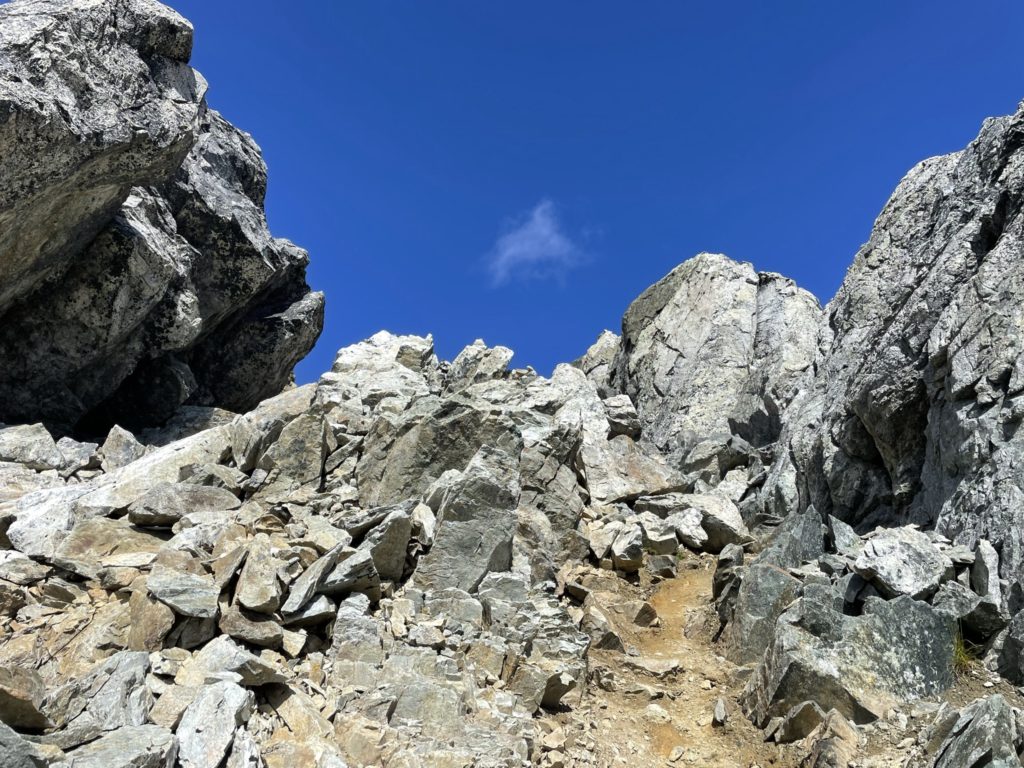
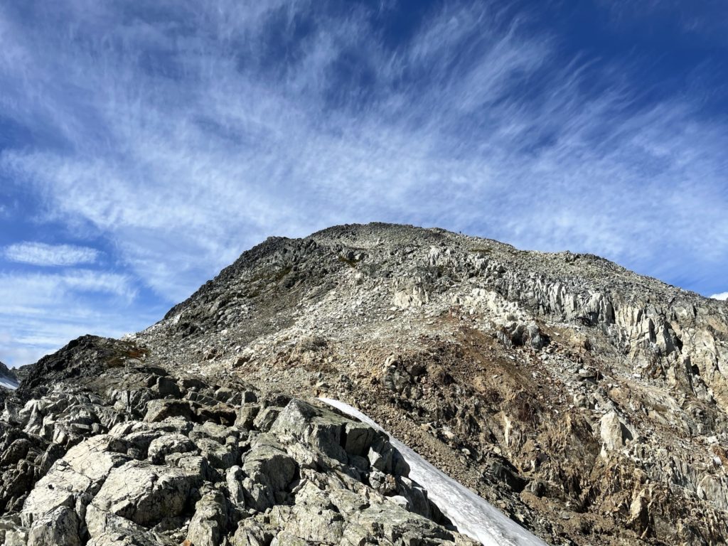
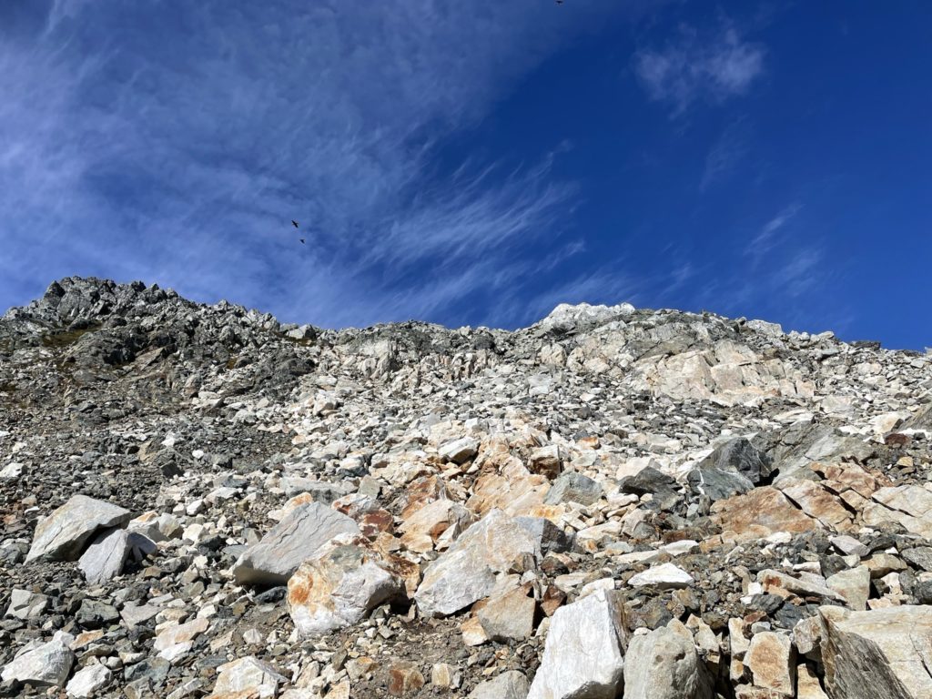
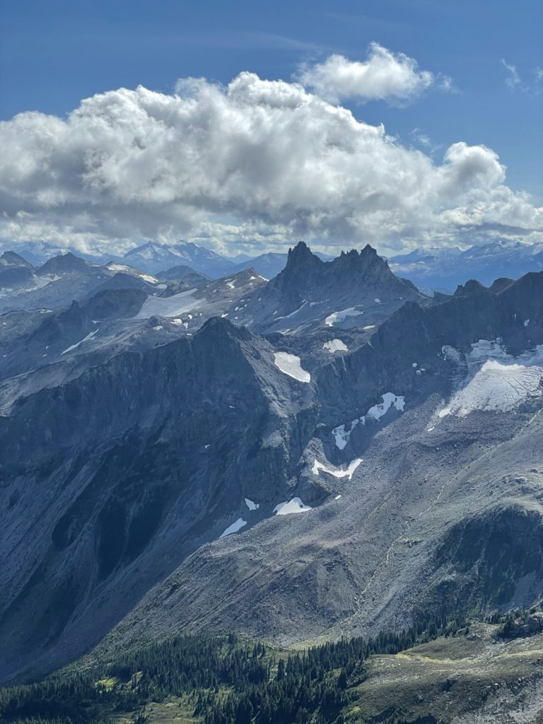
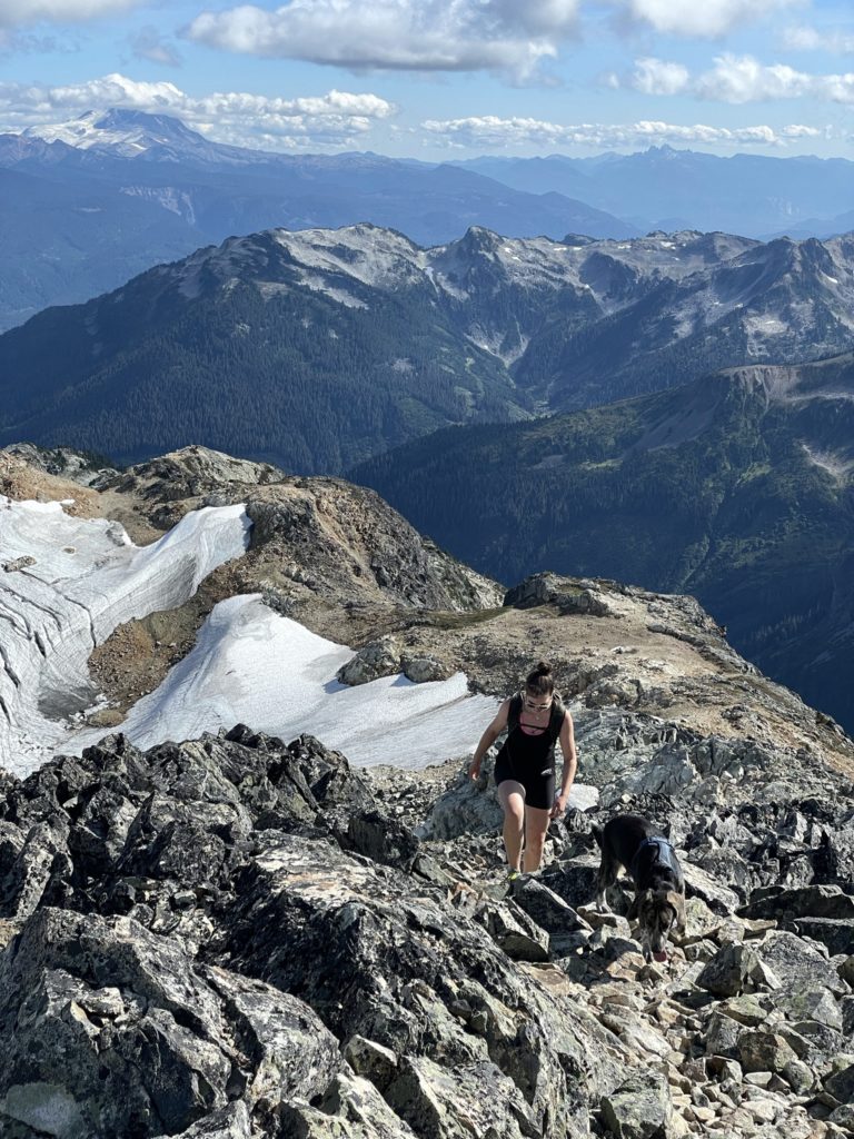
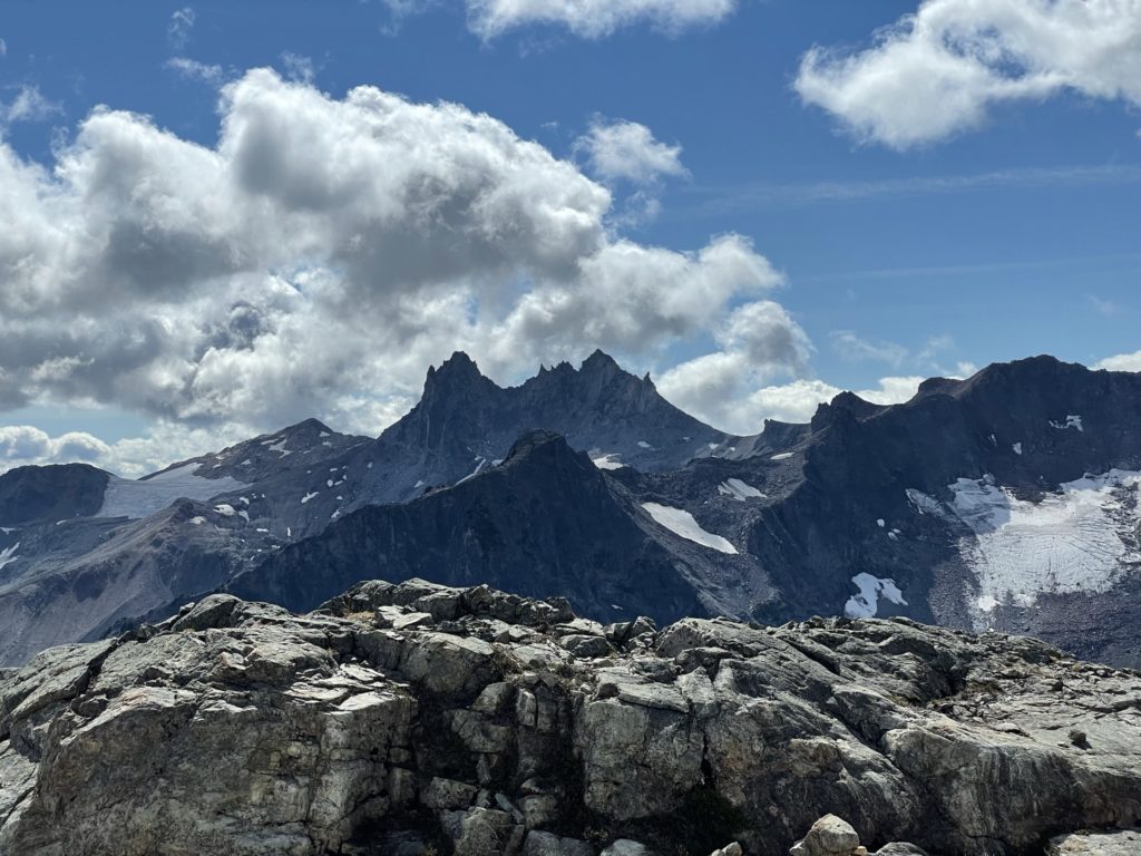
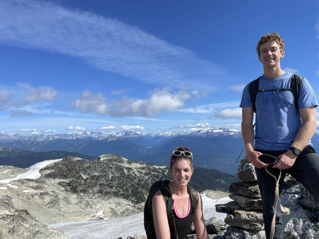
From the summit we had views of the Cayley Massif, Mt. Fee, the Callaghan area and so much more. Truly a beautiful area and only a short 10km trip to reach. It’s not often you find such a combination. We didn’t get to stick around for long though as we had to rejoin with the group. Sara aided Winston down some tricky sections just below the summit as he was clearly starting to tire out. I was a bit worried we’d get bogged down on the boulder fields, but for all the slow sections, he did manage to pick up pace where the terrain was more friendly.


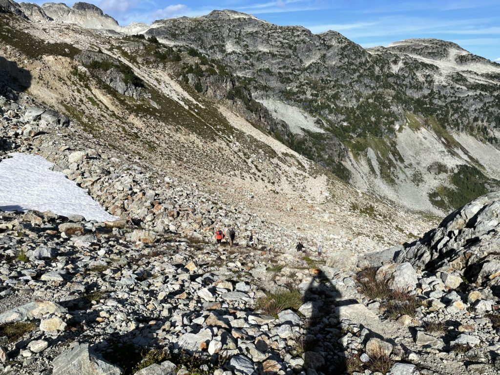
We retraced our steps back down through the head wall and then continued along the ridge. At one point we descended too far down the ridge and missed a key ramp. We had to re-ascend to avoid cliffs and then cut back down the ramp onto the ridge again. Then we descended the boulder field where we met up with the rest of the group. The rest of the descent was uneventful and we had a pleasant walk back to the truck as the started setting around the Brandywine Meadows.
Unfortunately, the drive back was not so uneventful. Unbeknownst to us, a crash had blocked all southbound traffic on the Sea2Sky. This lead to a huge traffic jam and the backlog of drivers actually exhausted the supply of two restaurants we tried to eat and a third was posting hour long wait times. A fast food chain came to the rescue while we waited out the traffic and by the time we hit the road again the traffic was flowing more freely.
All in all a great day and if you’re looking for a short, easy scramble Brandywine Mountain is a great suggestion. The total trip distance ended up being more like 11.42km instead of 9.5 and elevation gain was around 900m instead of 800m. Beware it’s a very popular area as well, but personally I don’t mind seeing so many people out enjoying nature.
Hello Francis, I’ve been to Brandywine and Metal Dome. Have you ever tried, or been, from one to the other? I am thinking of it as a summer route, I know it has been done in winter, with “spicy scrambling”. I can’t find any record of a summer loop.
Thanks
Iain
Hey Iain,
Personally I have not, but I am aware of at least one party that has. There’s a long undulating and at times steep ridge system that connects them I believe. Of course you can probably bypass them by going onto the glacier directly!