Elevation Gain: 2023m
Distance: 16.9km
Total Time: 11 hours 48 minutes
Date: August 28th, 2021
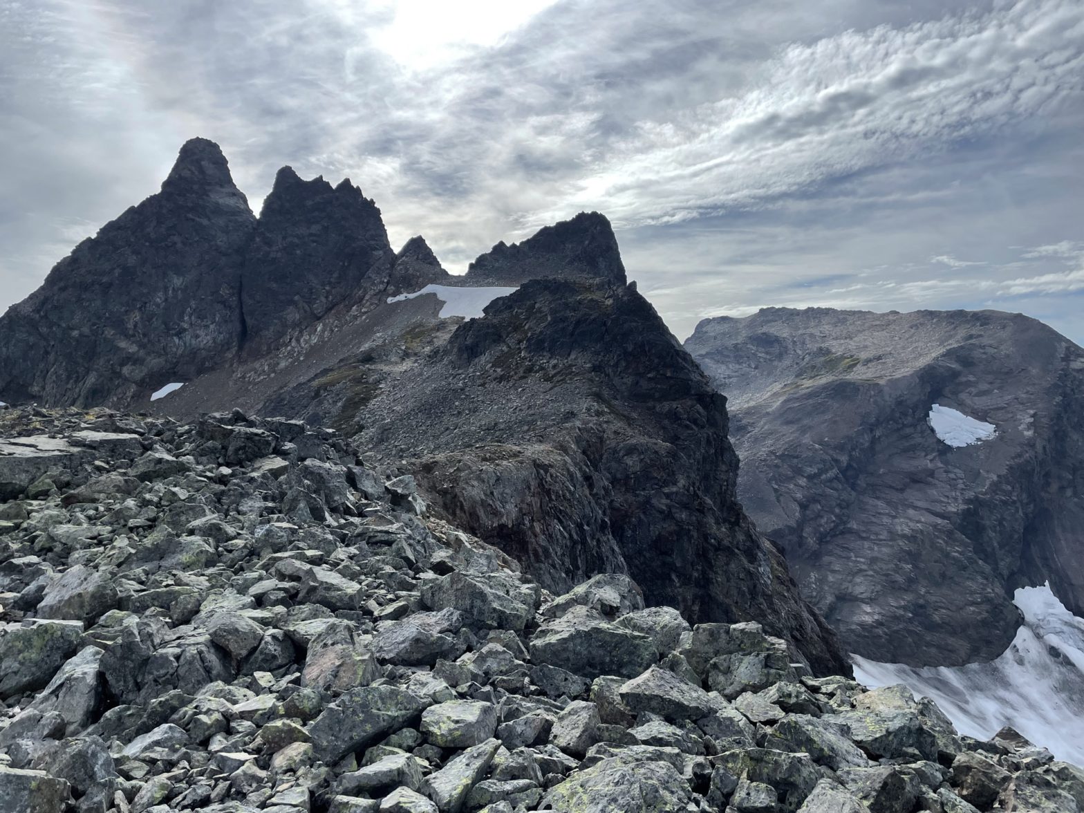
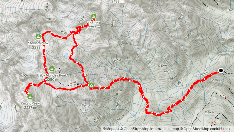
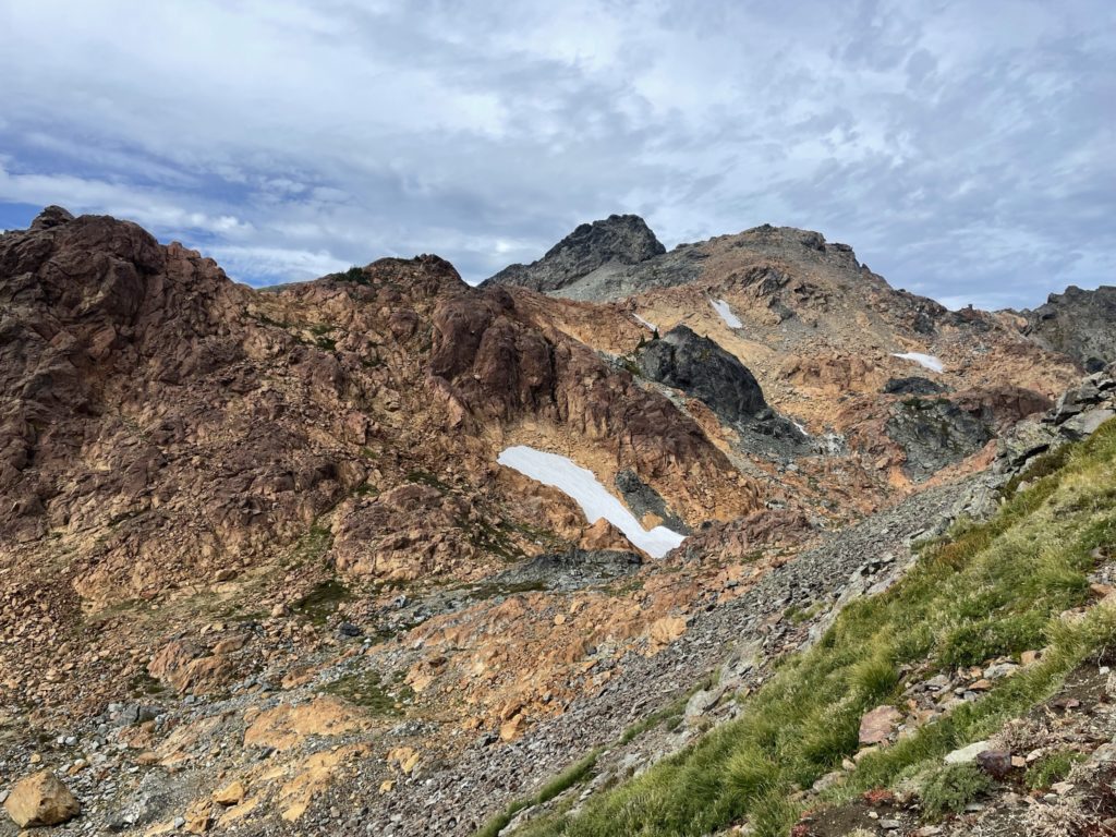
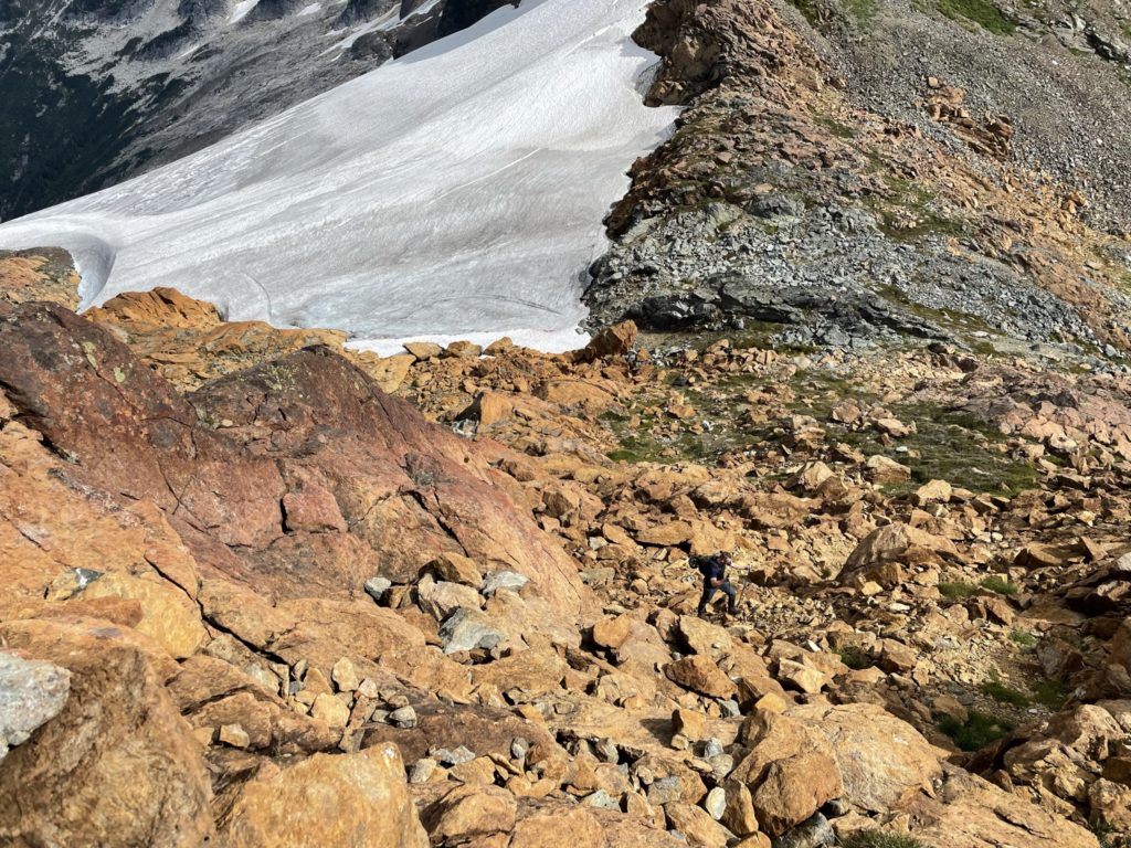
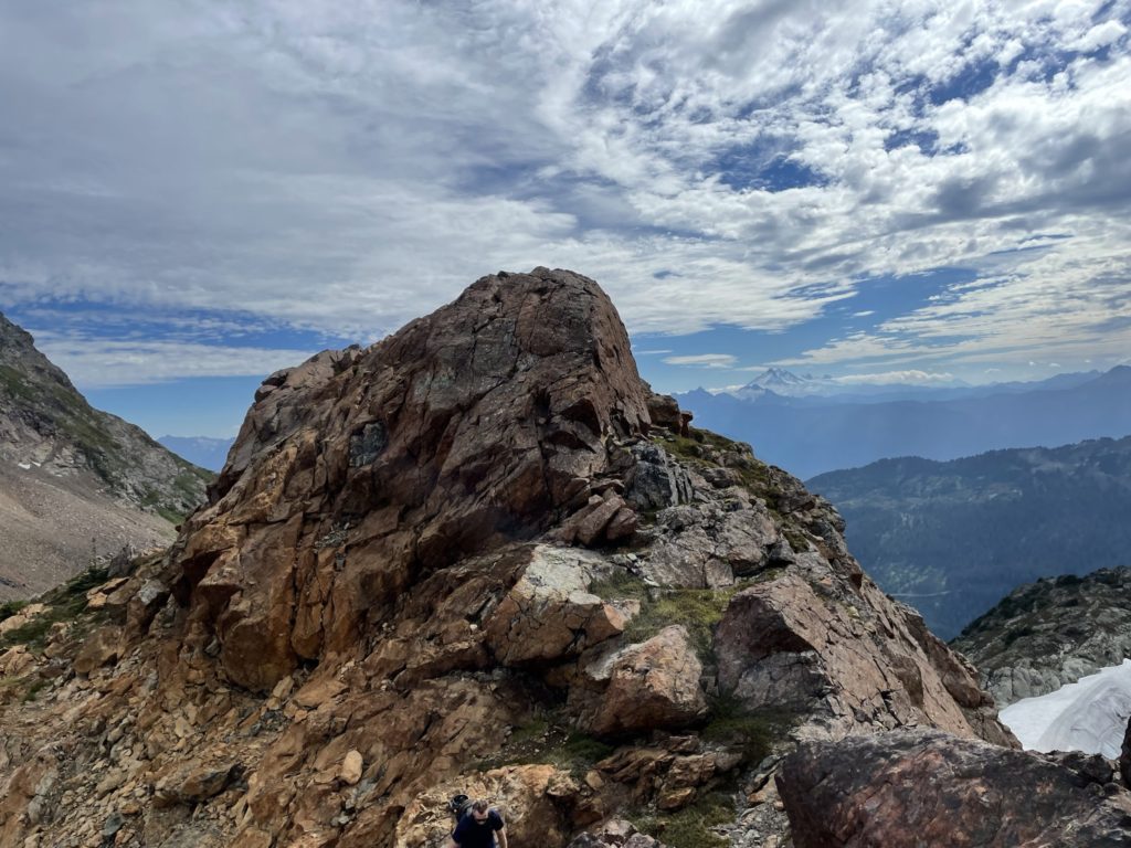
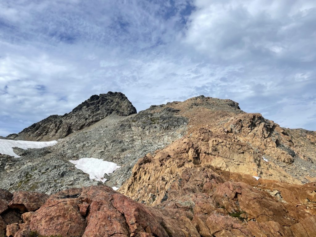
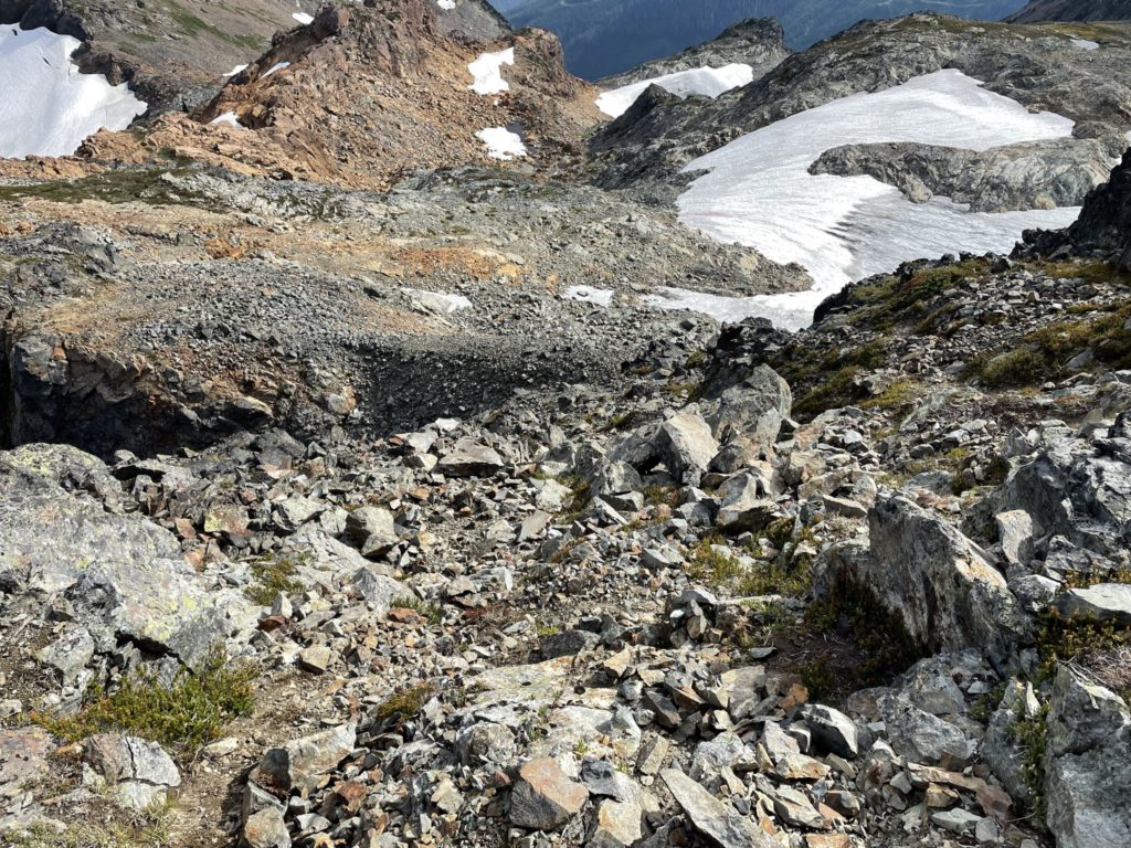
After descending the slopes of The Still, Kyle and I were onto our primary objective of the day: Stewart Peak. This peak has received a lot of visits over the years, thanks to its addition in Matt Gunn’s book and because it’s a relatively easy scramble up a dramatic looking summit block. The normal approach is to go around the eastern side of Baby Munday Peak, bypass a tarn and then ascend up talus slopes to the base of the summit block. Kyle and I were taking a slightly different approach now that we had come from The Still. Directly ahead of us was a long ridge of orange-rust coloured rock that appeared to provide a smooth means to reach the summit block without dealing with the talus slopes flanking the majority of Stewart Peak.
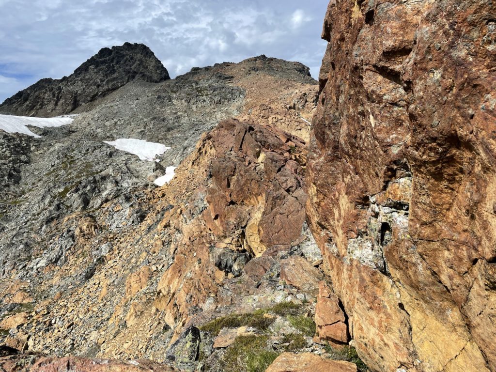
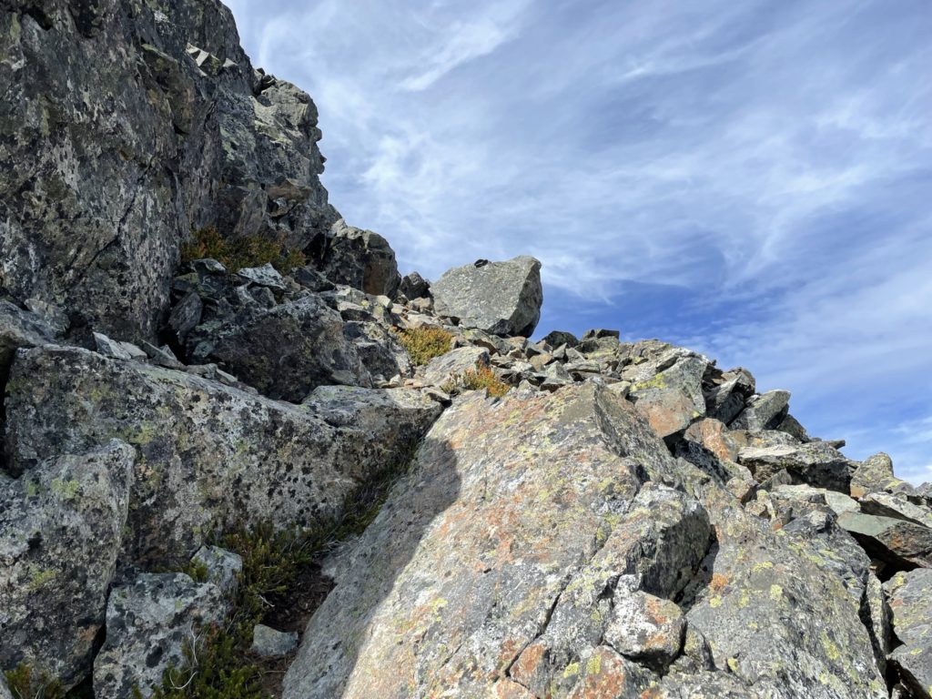
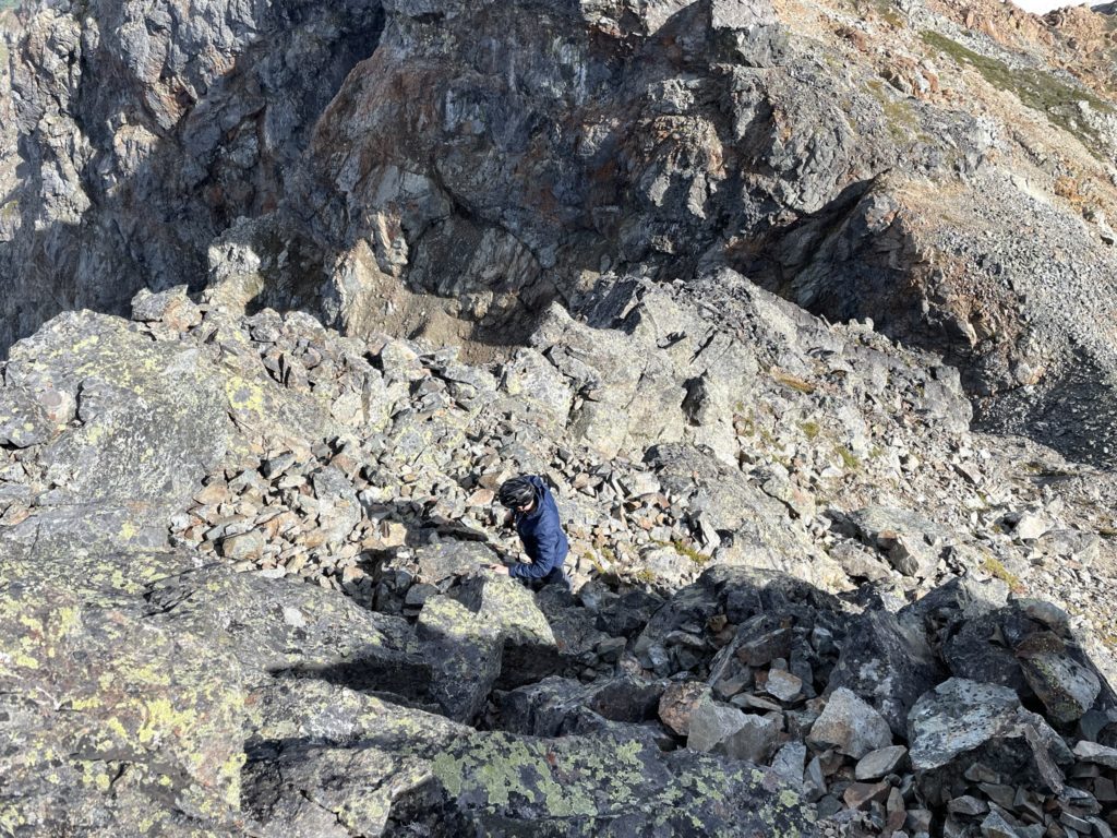
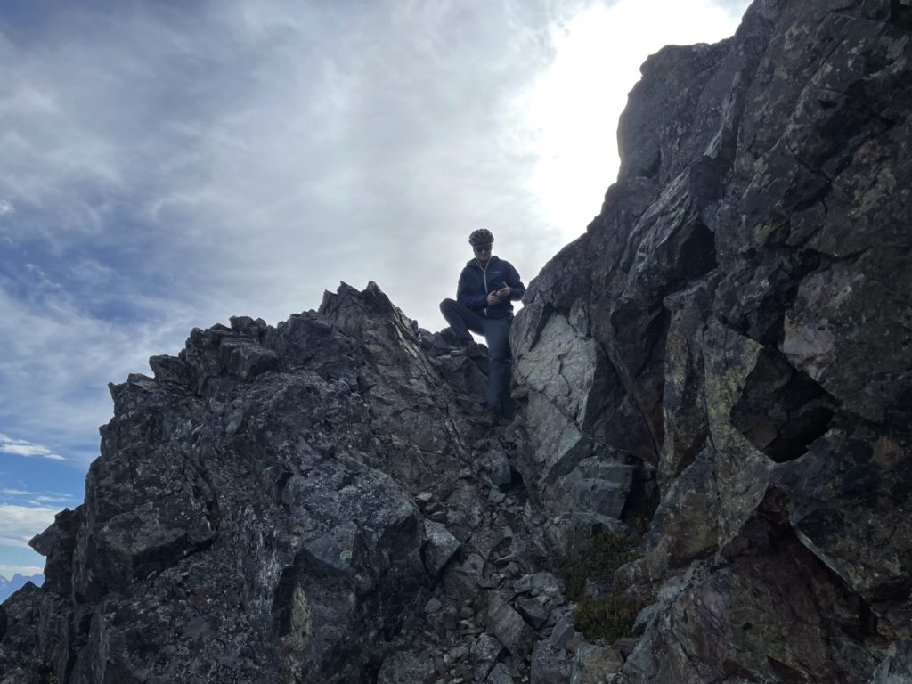
At the base of The Still, we opted to ascend a nice ramp up to the ridge with solid rock that went 2nd maybe 3rd class at most. After gaining the ridge, it was an easy walk along excellent rock towards the summit block. Mid way along the ridge, we got cliffed out and had to back track a few meters and go climber’s left (west side) of the ridge and then regained the top again. From there it was a simple traverse all the way to the summit block. At the summit block we ditched our gears and then began the route up.
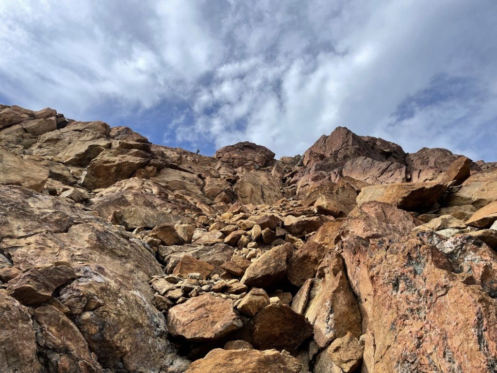
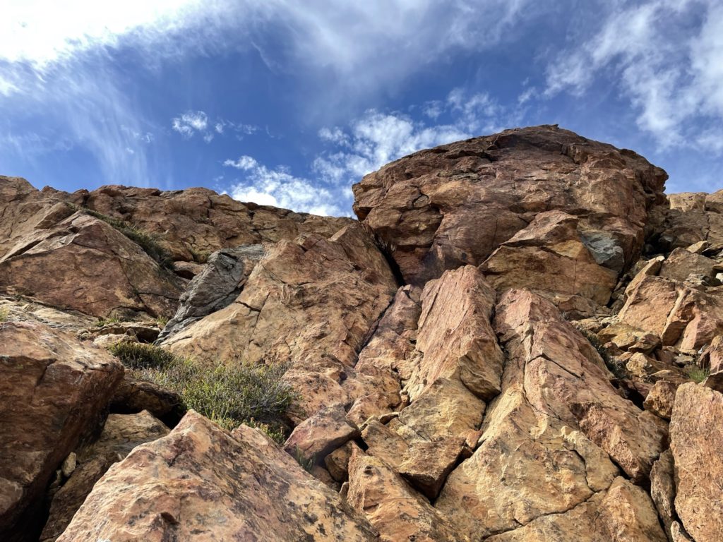
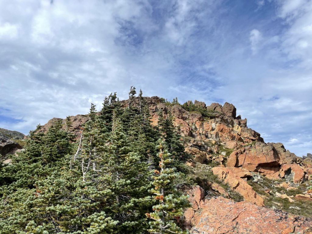
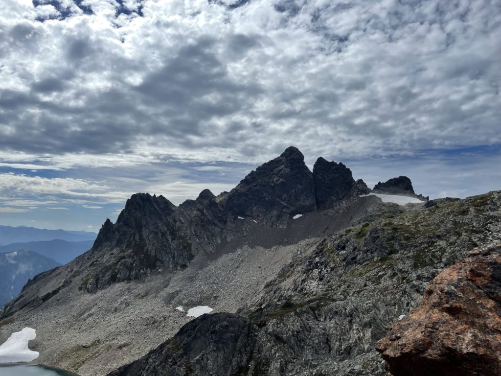
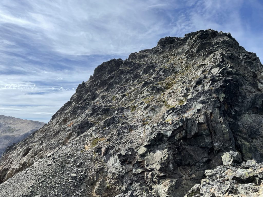
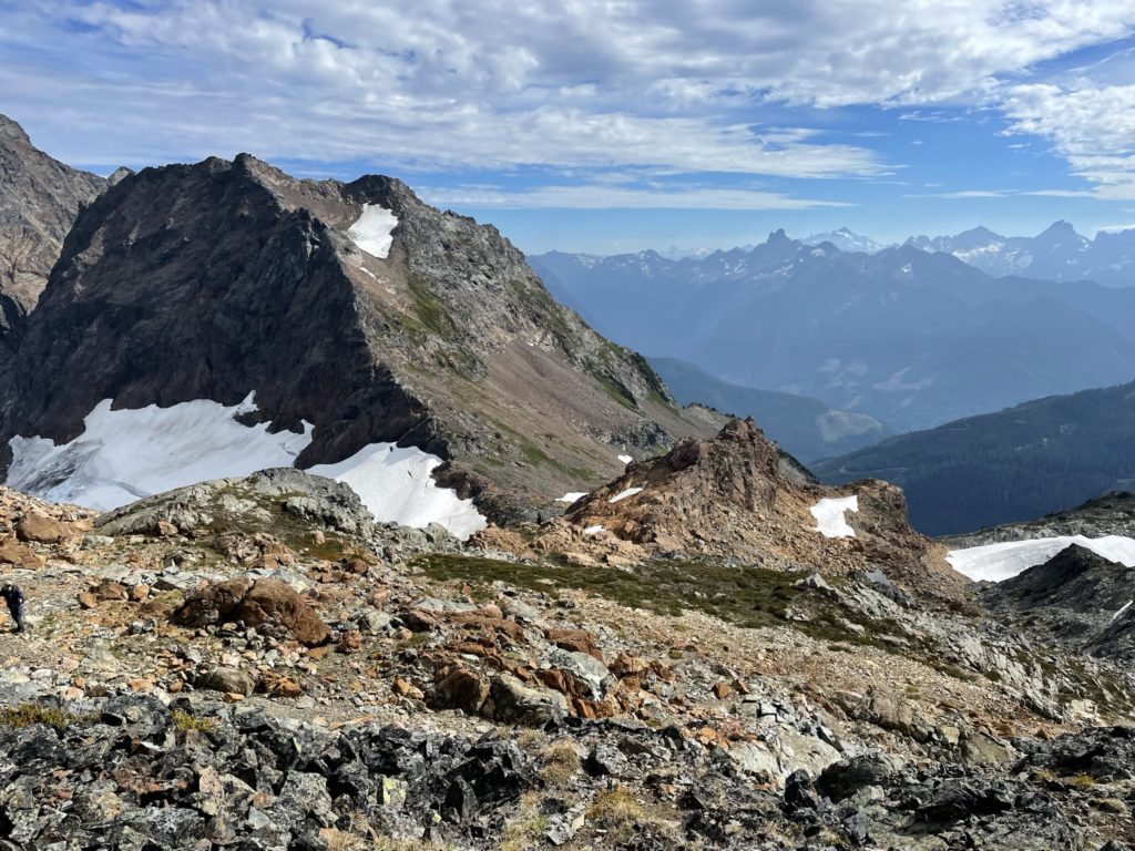
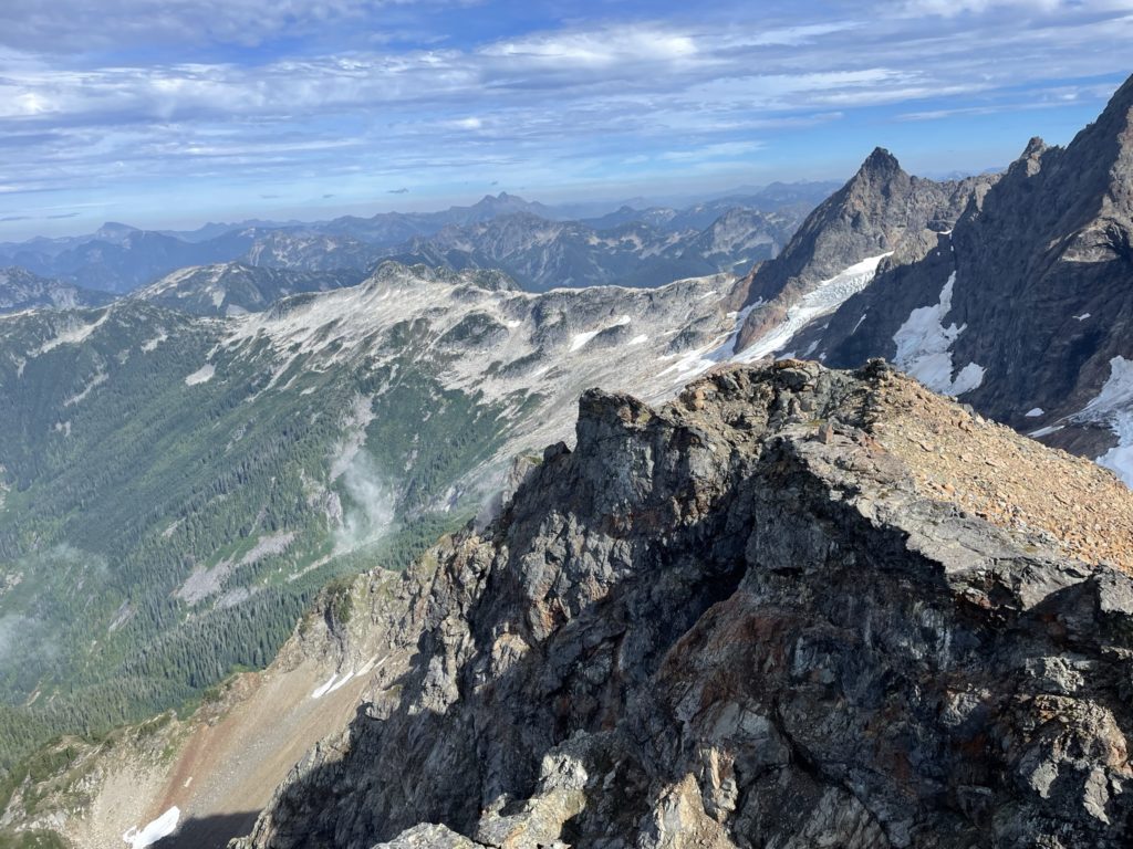
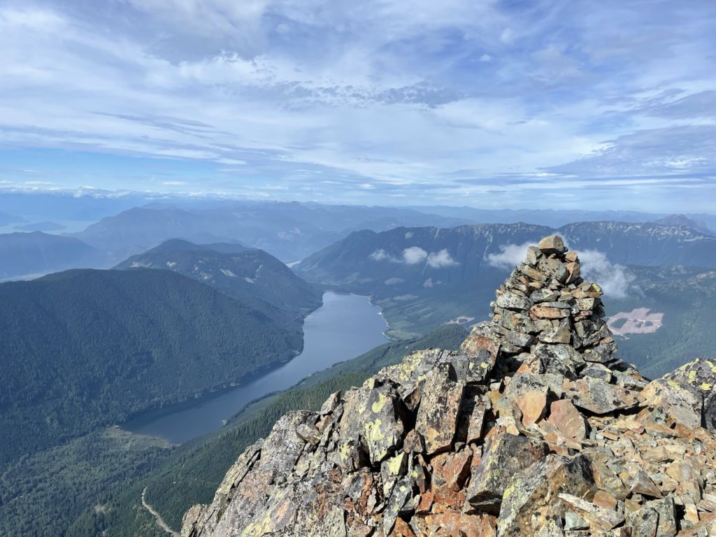
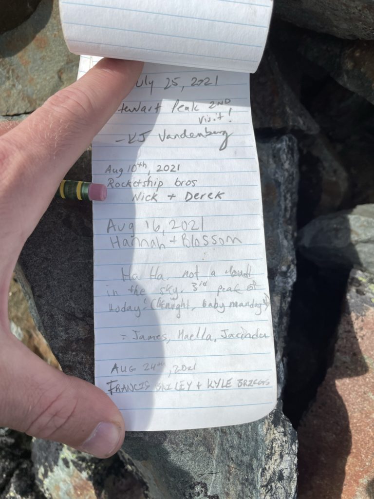
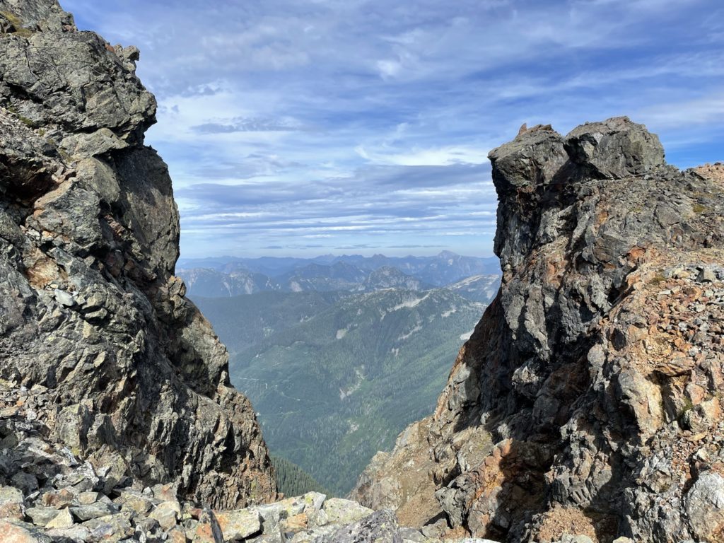
Matt Gunn’s book outlines two routes to the summit with the south east side being the easier of the two approaches and the south west side offering a more exciting scramble. I selected to go up the south east side since I didn’t feel like going all the way around for a short pitch of scrambling as we approached from the east side. Kyle followed suit and the route up the east side was very straight forward with only one section just below the summit reaching 3rd class. The route was overall very short lived and a bit underwhelming. Once on the summit we had amazing views down the Fraser Valley as well as the surrounding peaks. We also ran into the pair of scramblers who were initially descending The Still earlier in the day. They chatted with us for a bit and we took the opportunity to have our photos taken and exchange the service in return.
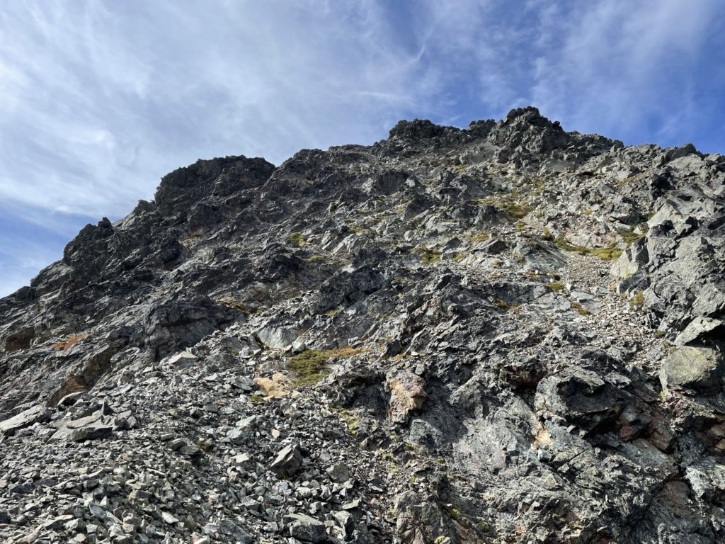
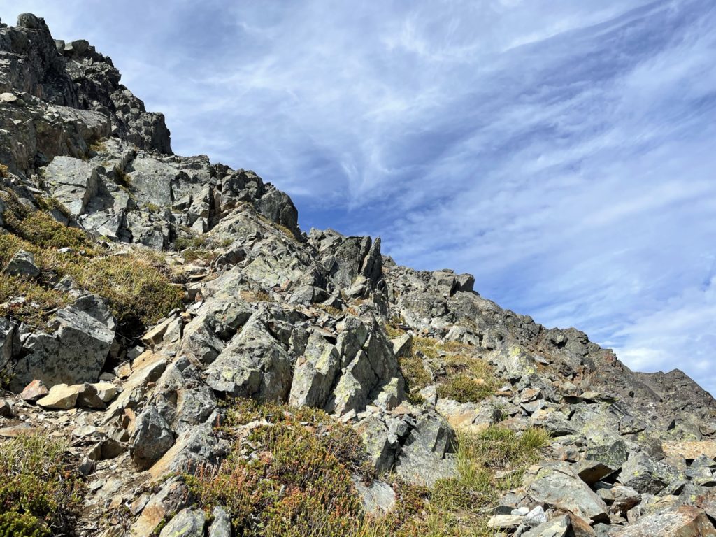
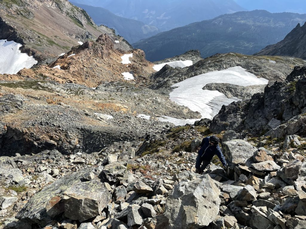
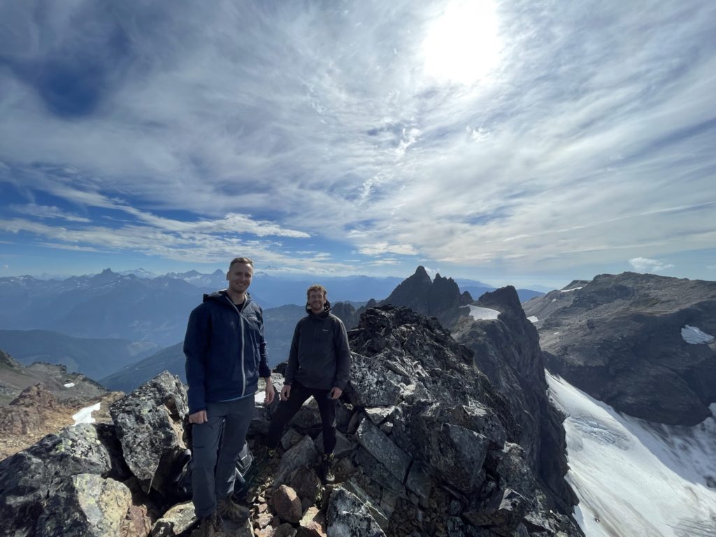
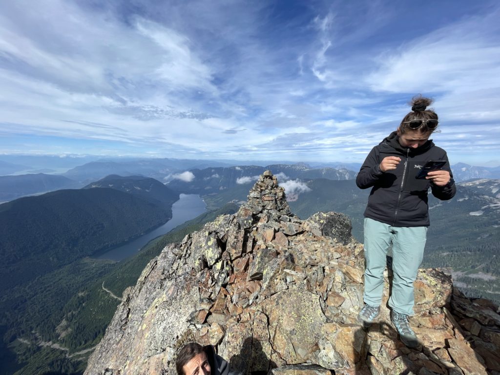
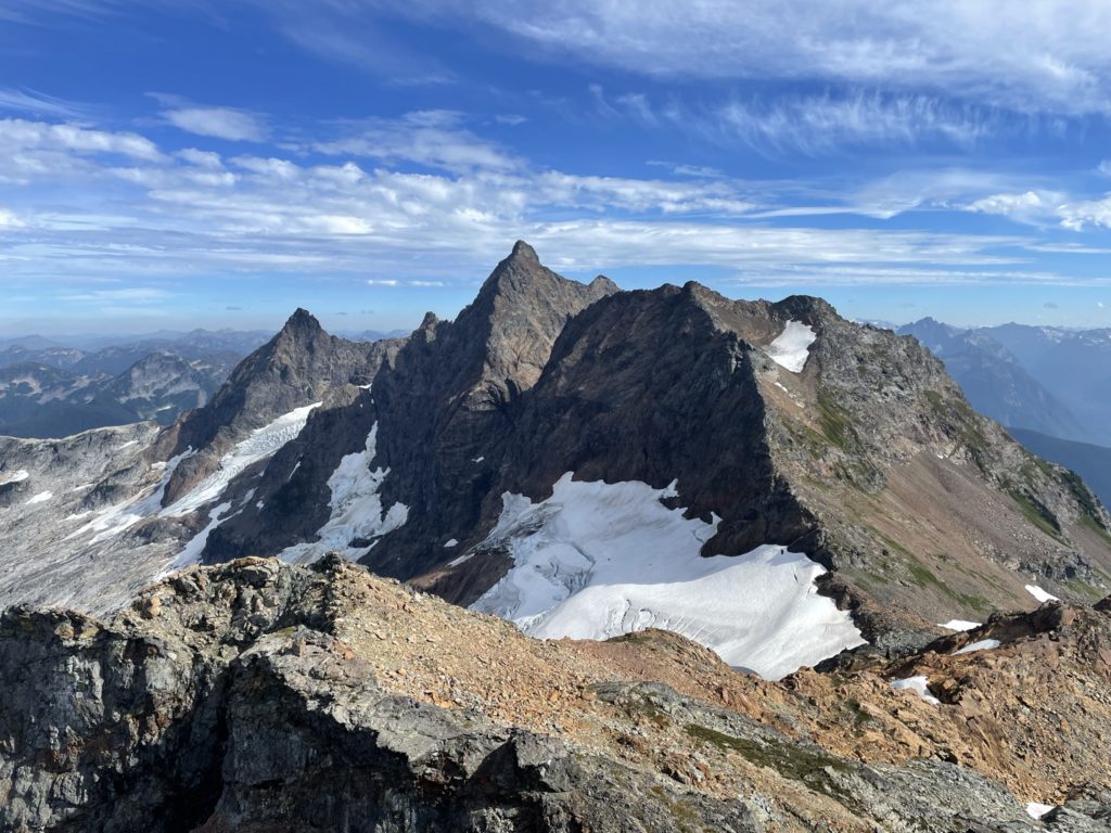
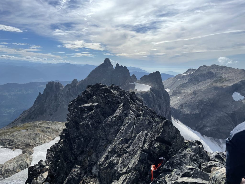
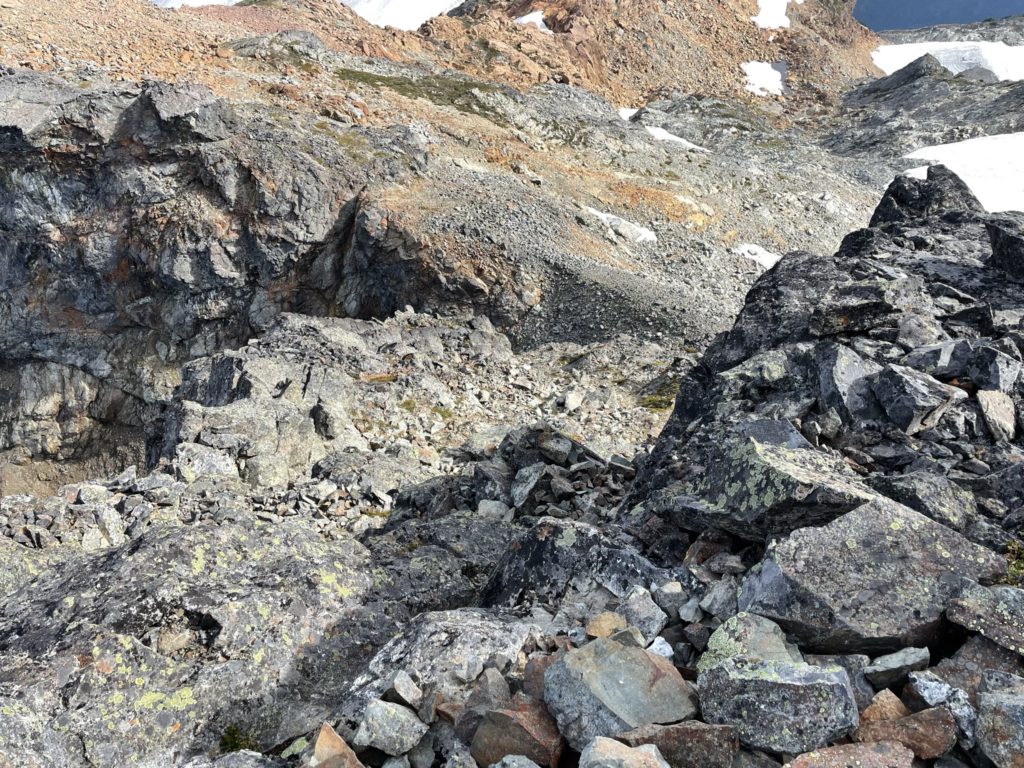
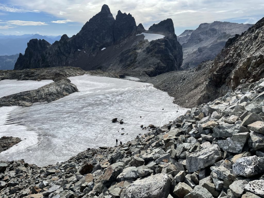
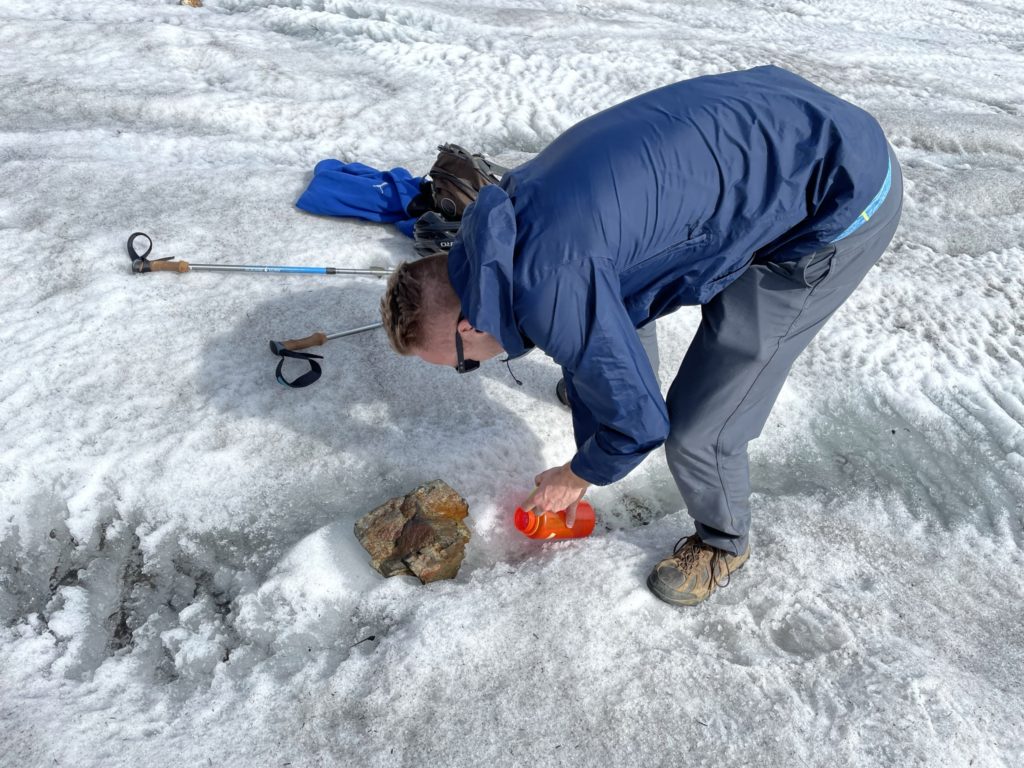
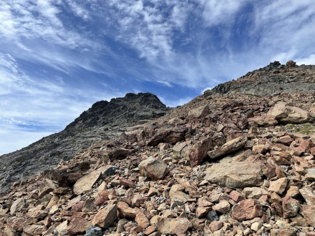
By now it was 4:00PM and if we went for Knight Peak it was going to be at least another hour and a half or two to the summit. Kyle and I still had lots of energy, so we figured why not. We’d likely be descending the dark, but we both brought head lamps so it was mostly a non-issue. I had service at the summit, so I updated my trip plan return time via text and then we started our descent to grab the final peak of the day. Rather than down climb the western side we stuck to our ascent line and quickly rejoined with our packs at the base of the summit block. From there we descended onto a small glacier and then started over to Knight Peak.
