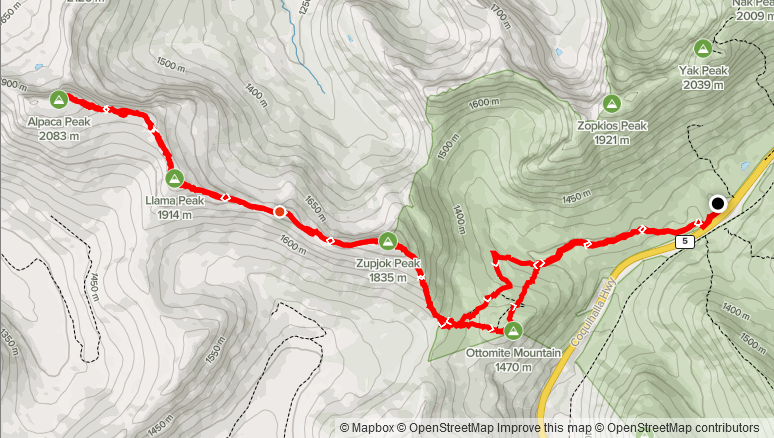
Includes data for Zupjok, Lllama, Alpaca and Ottomite
Elevation Gain: 1,471m
Distance: 20km
Total Time: 6 hours 57 minutes
Date: June 20th, 2021
After a weekend outing on Flatiron at the Coquihalla Summit, I had a friend from the Okanagan reach out about doing another trip in the area. He is an avid hiker himself, but hadn’t tried many scrambles or technical routes. With a perfect forecast ahead, I’d normally save such weather to try something more difficult, but I couldn’t pass up catching up with a long time friend. I had recently seen Steven’s Alpaca, Llama, Zupjok traverse from the winter time and it looked like the perfect route to test out. Zupjok itself is smaller peak located within the Coquihalla Summit Recreation Area that has a straightforward approach year round. With the route lined up, Shelby and I agreed to meet at the trail head from our respective locations for 8:30am.
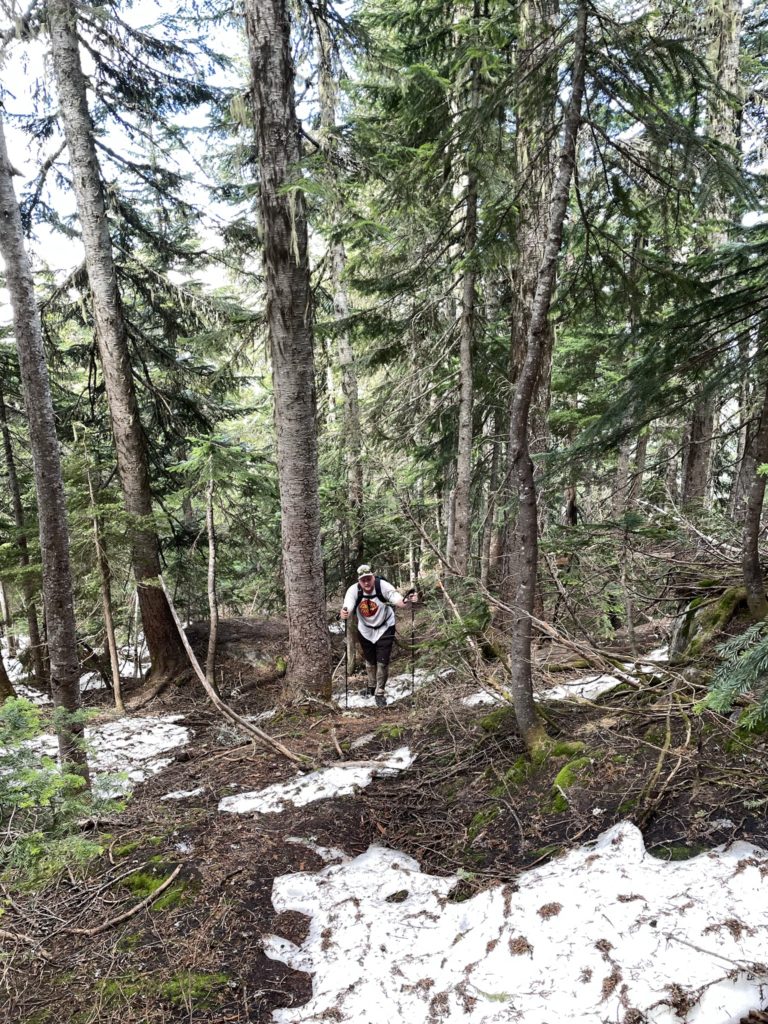
I set my alarm for 5:00am on the Sunday and after a few snoozes I was up and having breakfast. After dragging my feet for a bit, I was out the door by 6am and made it to the trail head for 8:20am. Through some good luck, Shelby happened to arrive at exactly the same time as me. We had a bit of a catch up conversation and then we got on our way to the trail for 8:35am.
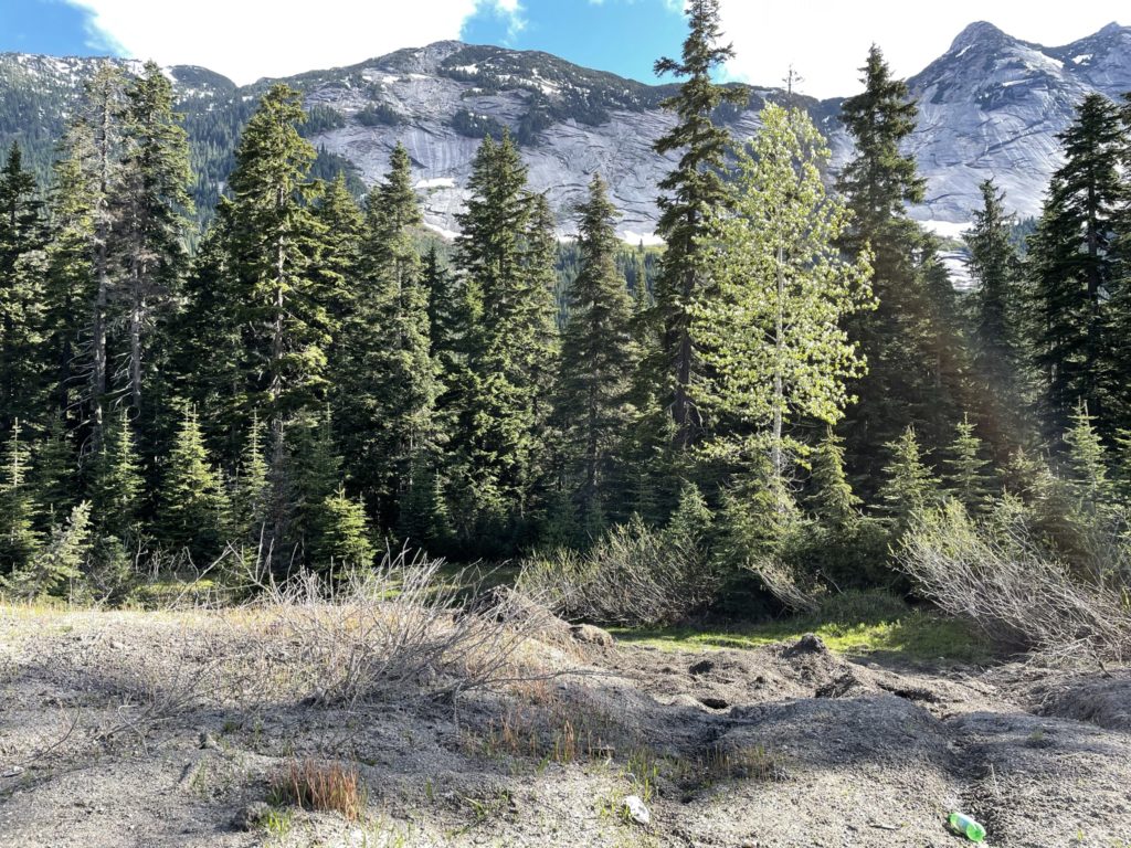
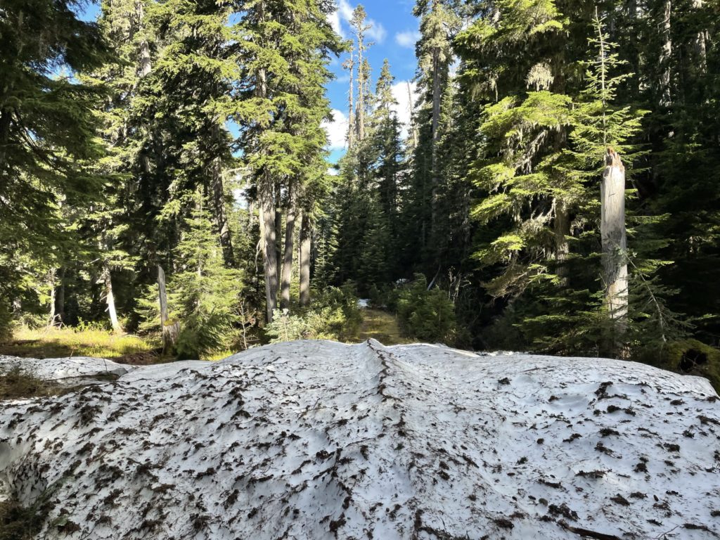
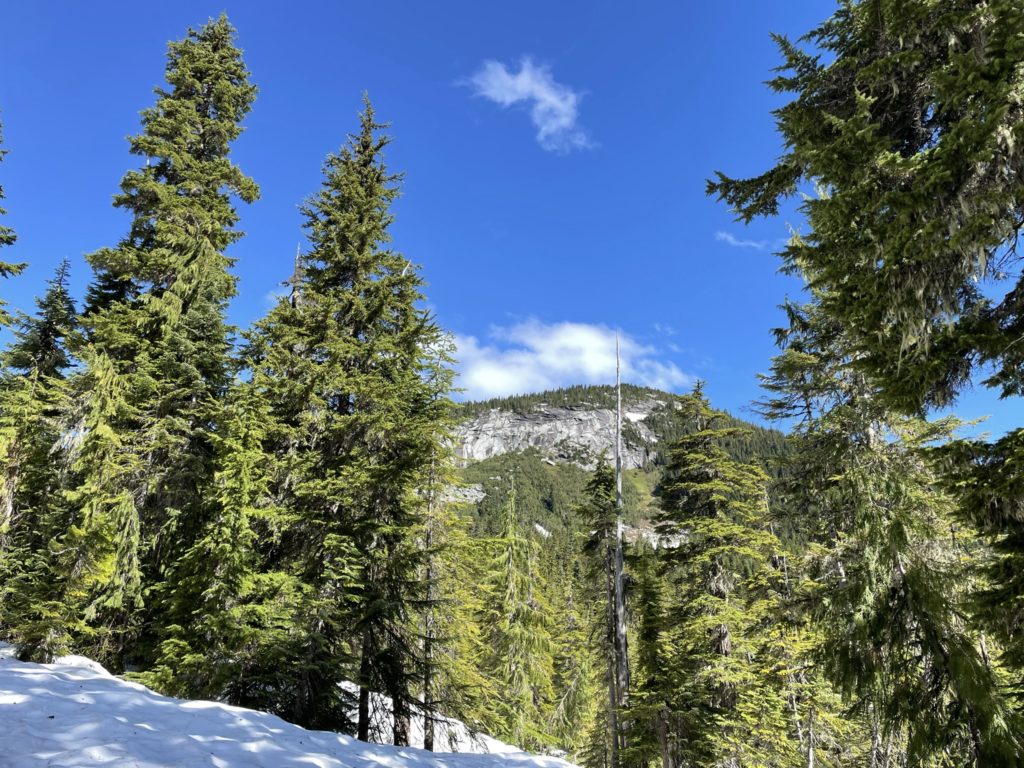
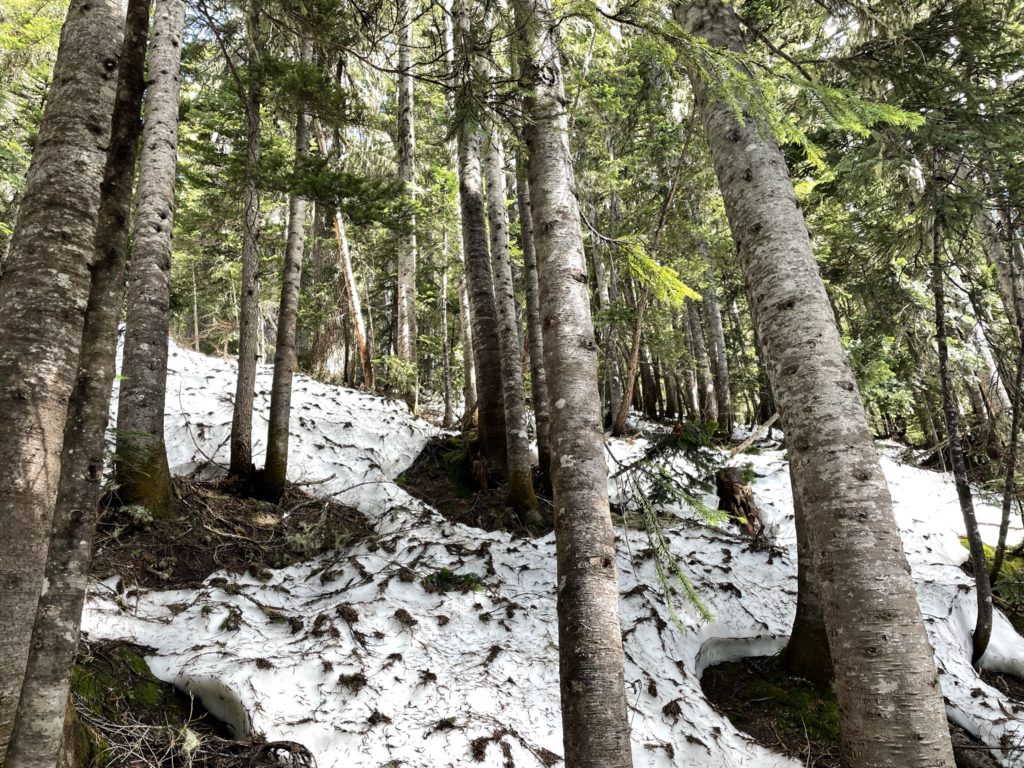
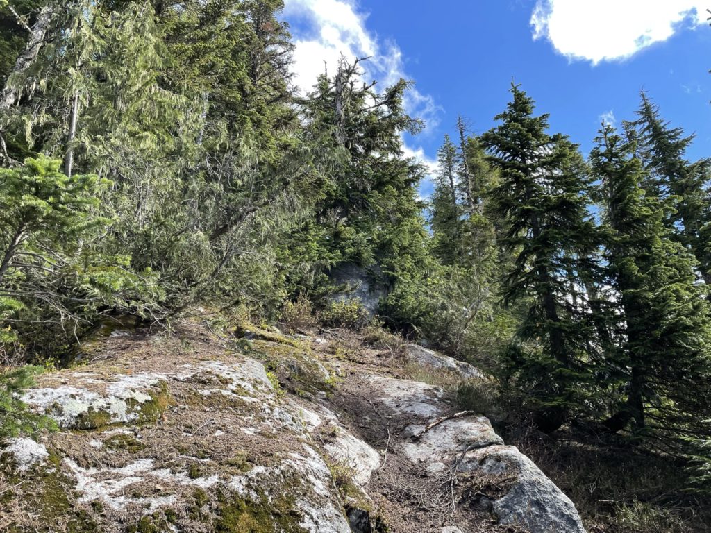
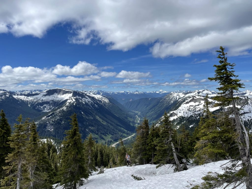
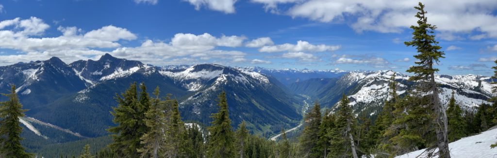
The first 3-4km of the trail follows along an FSR and at this time it was still totally snowed over. Thankfully, the snow was firm and we didn’t suffer from any post holing. As we went along we encountered numerous signs of recent bear activity, but fortunately never ran into any of them. At around the 4km mark, the trail started ascending up the forested southern slopes of Zupjok Peak until we reached the ridge line at around 1500m of elevation. From there we followed some flagging through a mix of dirt and snow covered trail while the trees progressively thinned out. The ridge line was continuous moderate pitch all the way to the summit at 1835m mark with no technical terrain to deal with. A few sections along the way fully opened up to reveal beautiful mountains around the Coquihalla Summit area and further south down to Mt Baker even.
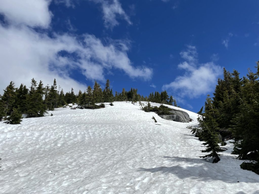
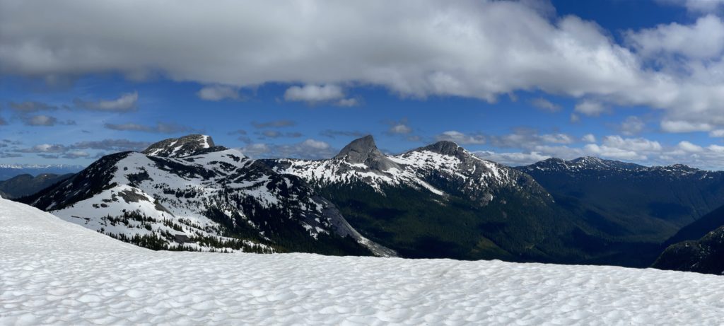
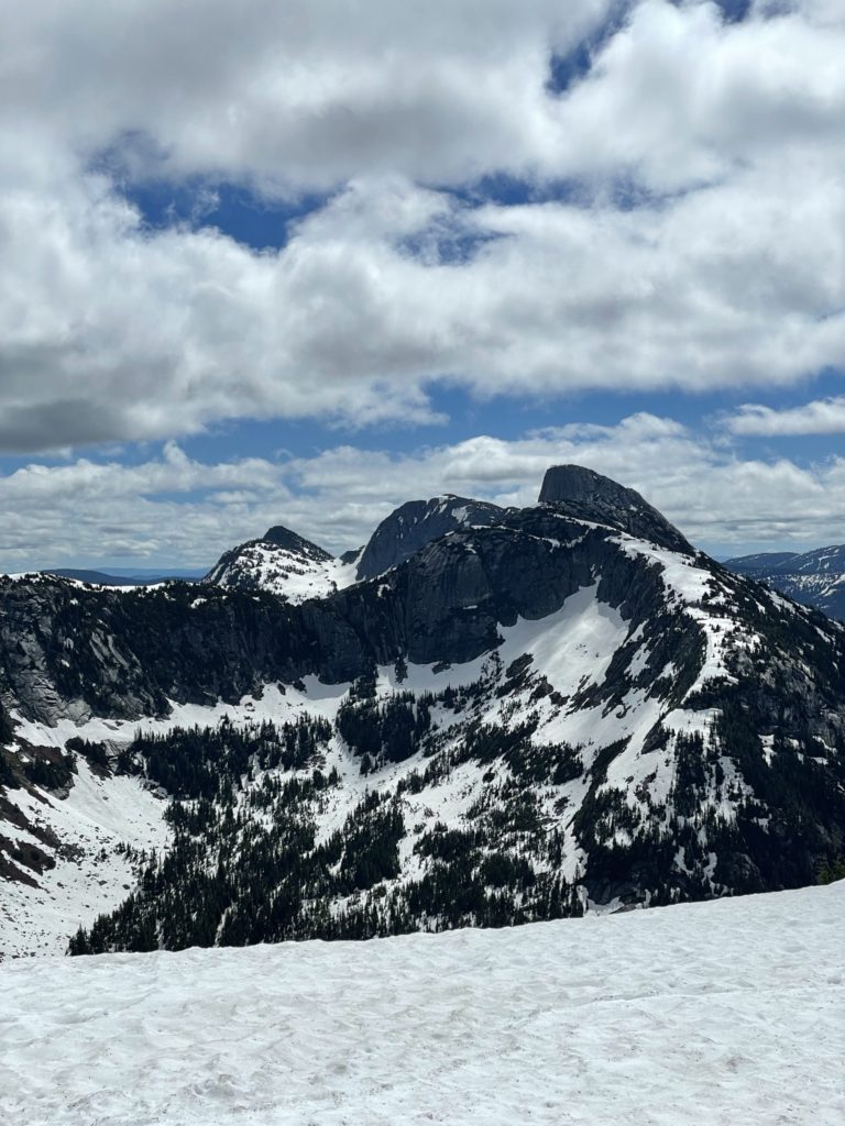
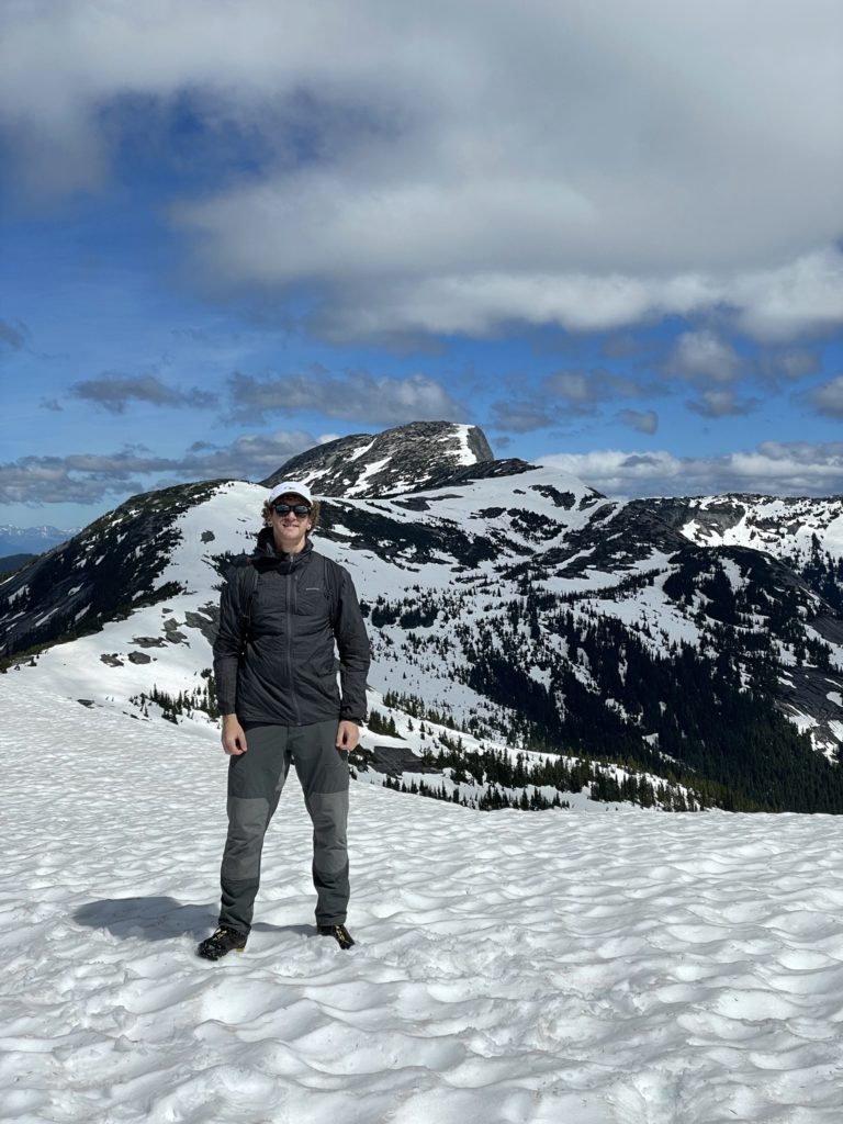
Shelby and I didn’t spend long at the summit as we were already scoping out the route to Llama Peak. The connecting ridge looked very straight forward and so on went to Llama.