Elevation Gain: 334m
Distance: 7.56km
Total Time: 1 hour 53 minutes
Date: June 6th, 2021
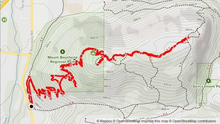
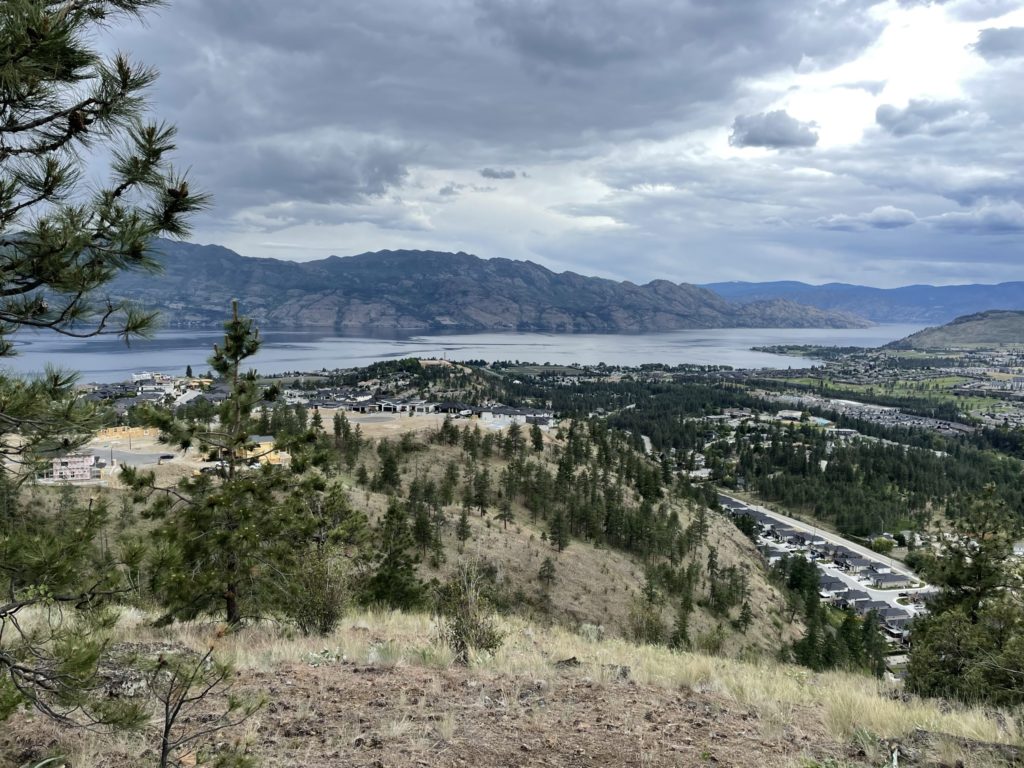
Mount Boucherie is a small, but popular, 758m mountain that lies in the middle of West Kelowna, surrounded by a swathe suburbs and urban infrastructure. Despite living in nearby Kelowna for over 10 years, I only ever drove by this peak and never sought to hike to the top. This weekend that changed as I was in town visiting friends and family and had a tight schedule to squeeze in a peak. Mount Boucherie ended up being the perfect choice because it’s a short drive from Kelowna and small hike to the top.
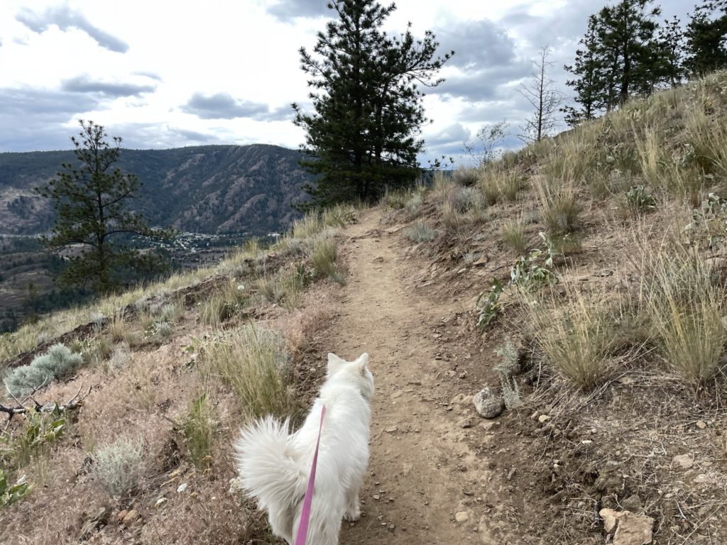
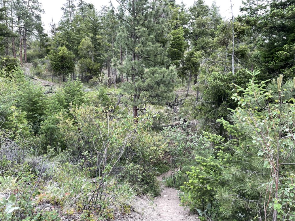
On Saturday, my mom and I headed out for the trail head, starting up around 1:20pm. We opted to take the well-defined trail on the West side, however Mount Boucherie can also be reached from a more scramble-y trail on the Eastern aspect as well. The weather was mostly cloudy and a few drops of rain came down here and there, but it was otherwise pleasant.
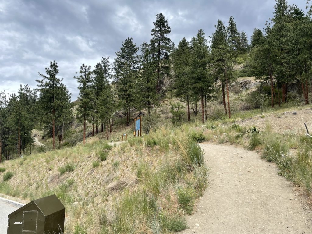
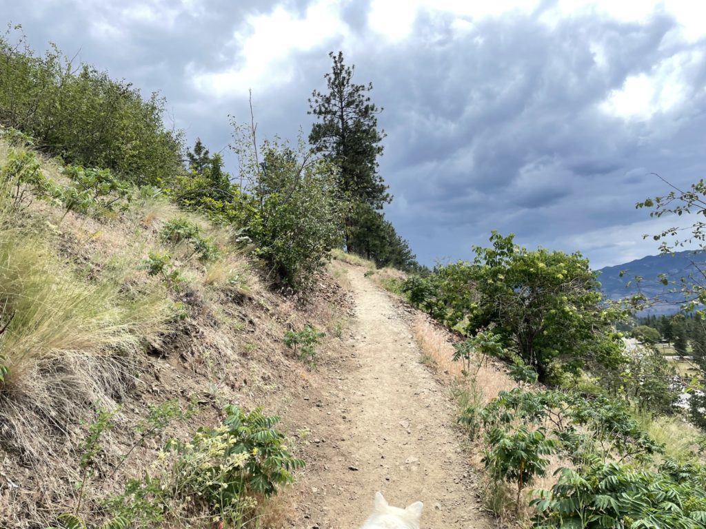
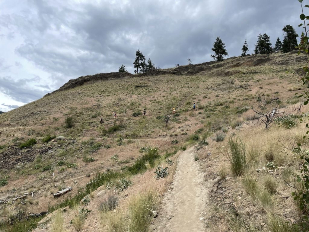
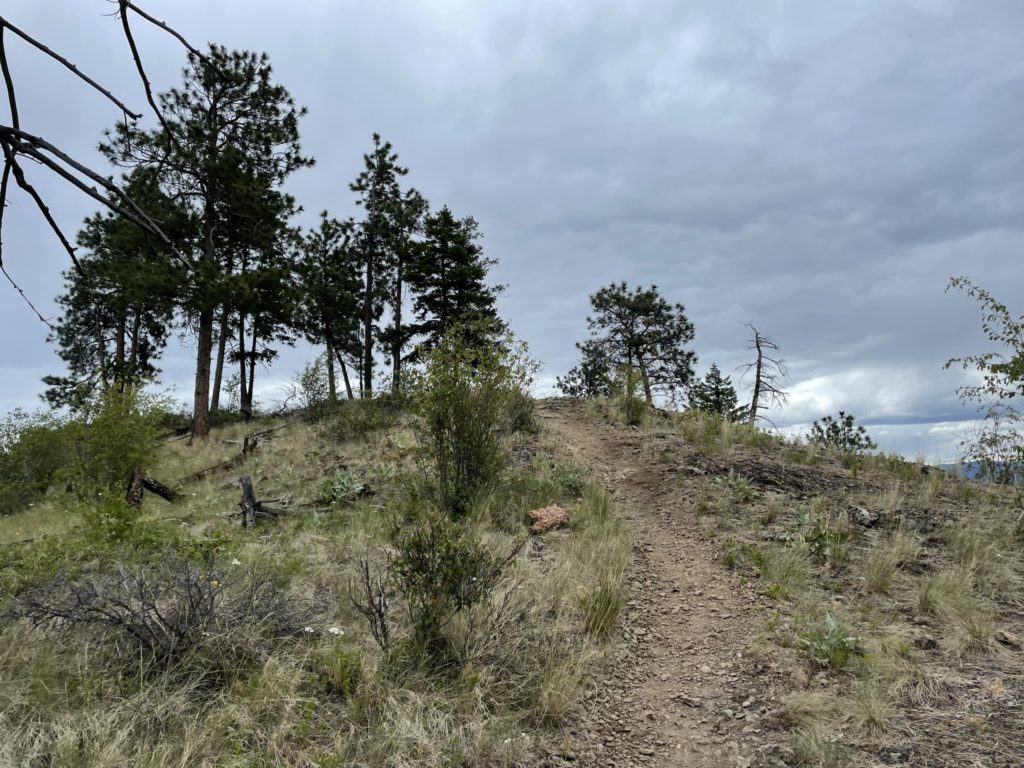
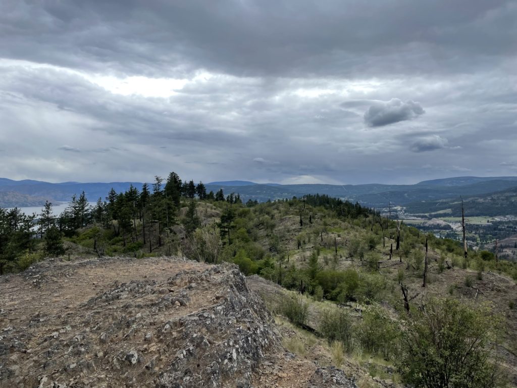
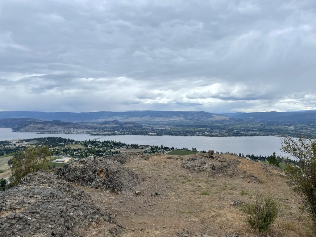
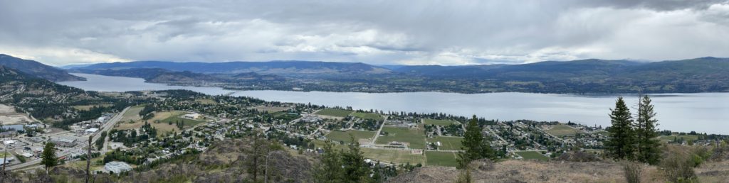
To reach the top, one simply has to follow a well defined and maintained trail all the way up. It was a little heavy on the switch backs, but for new hikers, families with young kids, etc it’s the perfect trail. Once we topped out, we were met with a panoramic viewpoint of the Southwestern side of Okanagan Lake and West Kelowna. However, a quick glance East and it was clear there were in fact two summits with the visual appearance that we were on the shorter of the two.
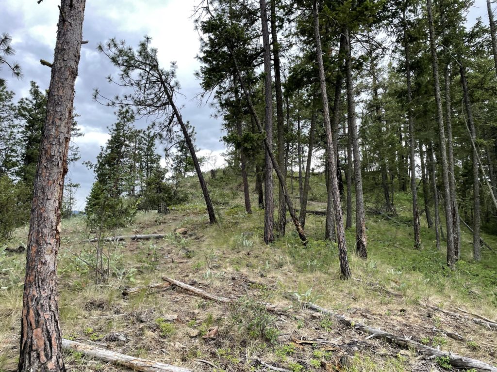
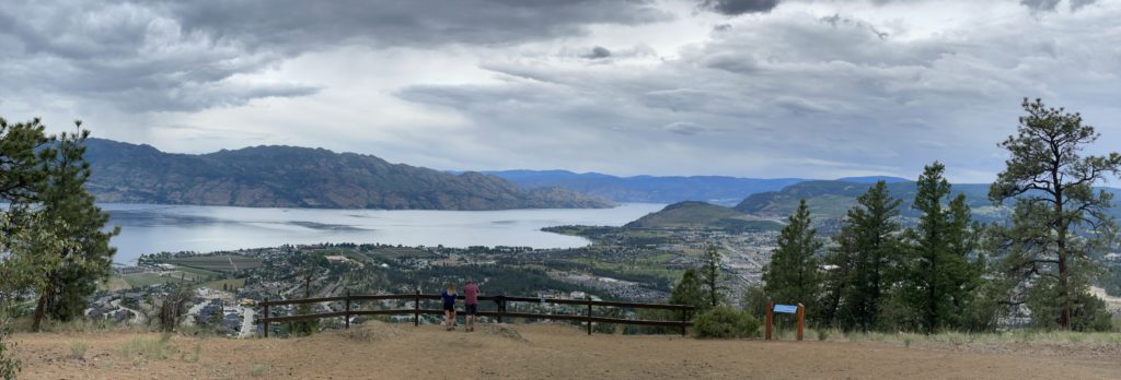
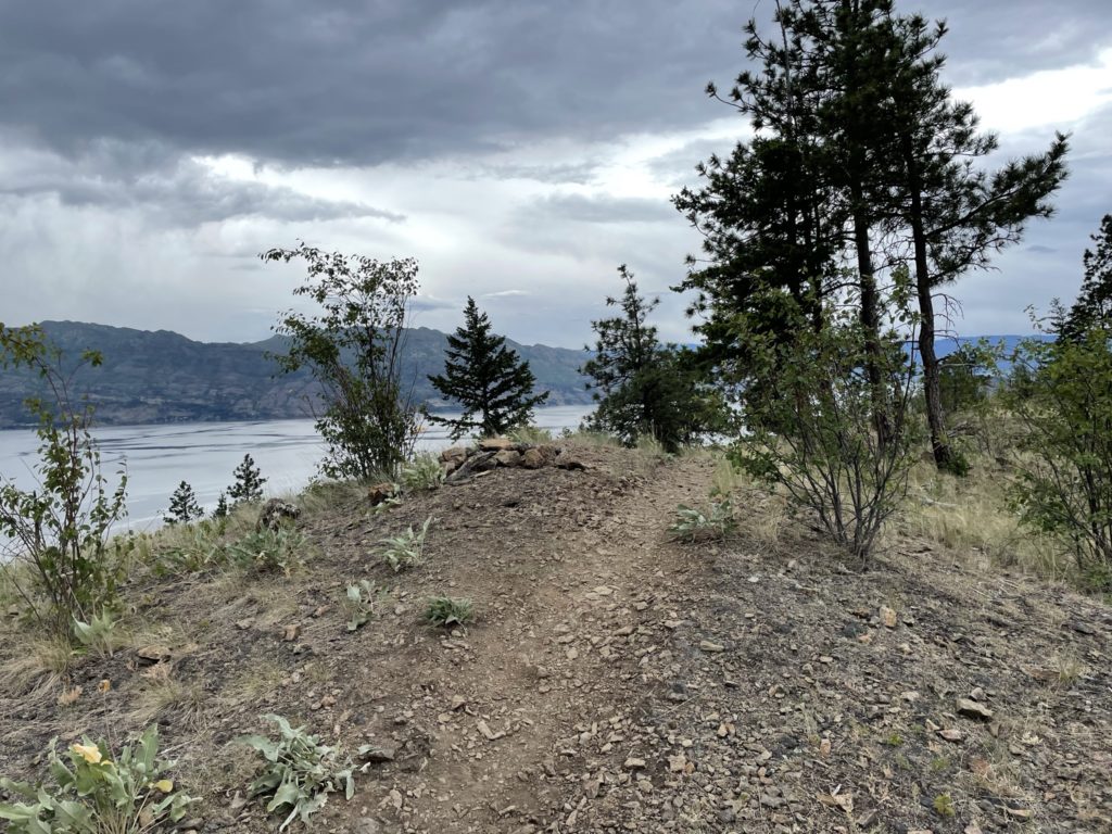
Not wanting to miss the true top, we walked East along another well marked path across the broad rolling top of Mount Boucherie towards the true summit. It was a short 600-700m uneventful walk and we reached the proper summit. This time we had views looking East across all of Kelowna. I highly recommend hikers to do both summits as they provide quite different views with minimal extra effort required.
Once we had our fill of the views, we back tracked along the same path to the lower summit. Then it’s a fast plod back to the parking lot a few hundred meters below. This summit is about as easy as they come, but it was still nice to finally check out after all these years. I can recommend anyone to make a quick pit stop to the top if they’re tight on time and want some neat urban views.