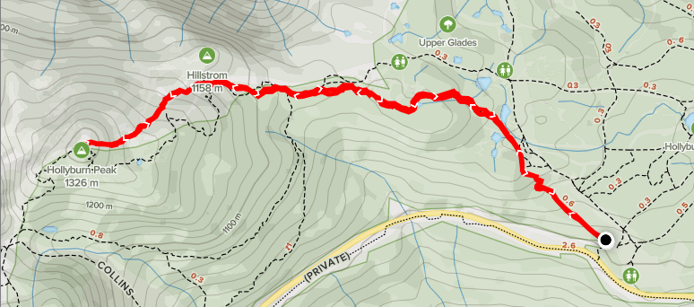
Distance: 6.26km
Elevation: 494m
Total Time: 1 hour 36 minutes
Date: January 1st, 2021
The forecast for the weekend was showing heavy rain for the Sea 2 Sky and surrounding area, but I still wanted to get out and stretch my legs a little. I started doing a bit of looking around for peaks that were close to Vancouver. Lone Goat mountain looked interesting as I had passed it when doing Crown Mountain earlier in the year. However, it’s $50 to get up the Grouse gondola and I was not feeling energetic enough to tack on the BCMC route up and down in the rain.
Finally, I settled on Hollyburn Peak, near Cypress Ski resort. It’s a mere 6-7 km round trip and given that I’d already been out that area many times, I wasn’t too bothered that the view would be totally enveloped in clouds. I reached out to my friend Mike and he was onboard. We agreed to meet at the parking lot for 8:30am on the Friday.
That morning, I started the drive out of Vancouver and it was already pouring rain. My hopes of snow at higher elevations were squashed when, 30 minutes later, I pulled in to the parking lot for the trail head and it was raining even harder. Mike and I joined up and despite the rain, still decided to press on anyways.
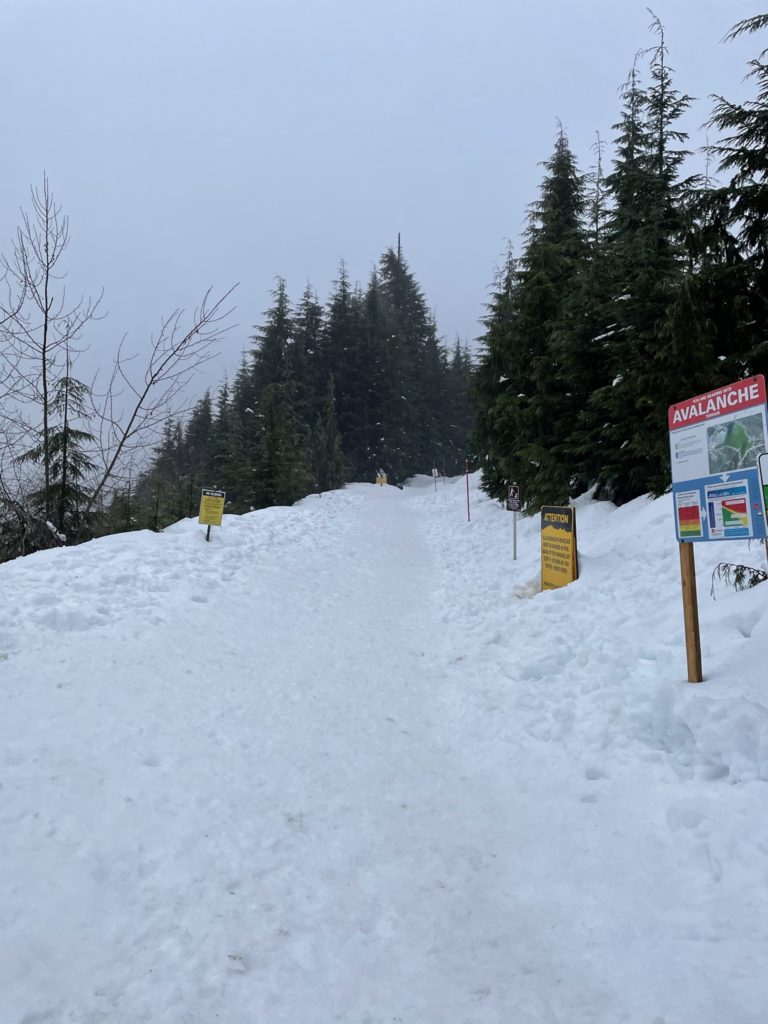
I didn’t take more than 4-500 meters up the trail, before I could feel the water seeping through my pants. We both realized we’d be soaked by the time we reached the summit. Given that it’s only 2 hours tops round trip and that we’d already made the drive up, I figured we might as well push on. It’s also a good opportunity to find the breaking point for all my apparel!
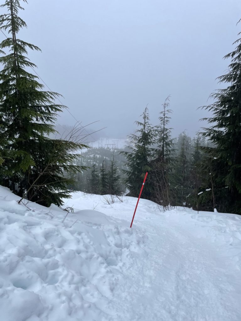
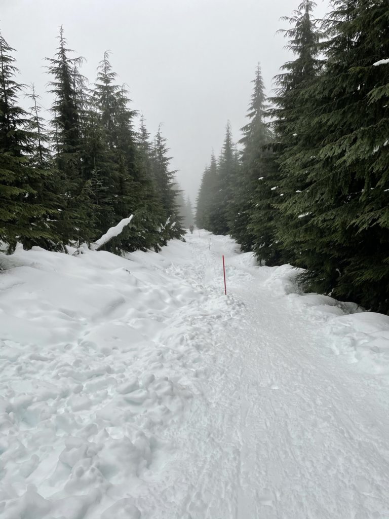
The trail itself was well packed down and snow shoes weren’t strictly required, but nice for the traction in any event. The majority of the time we were just meandering through forest on a gradual elevation rise. About 1km from the summit, the route steepened with more effort required to push up the trail. Still, nothing too taxing and the increased heart rate was welcome. By this point, both Mike and I were completely soaked through. Even with a Gore-tex rain coat I couldn’t keep dry. My boots also begin to fill up with water as it trickled down from my rain-soaked pants.
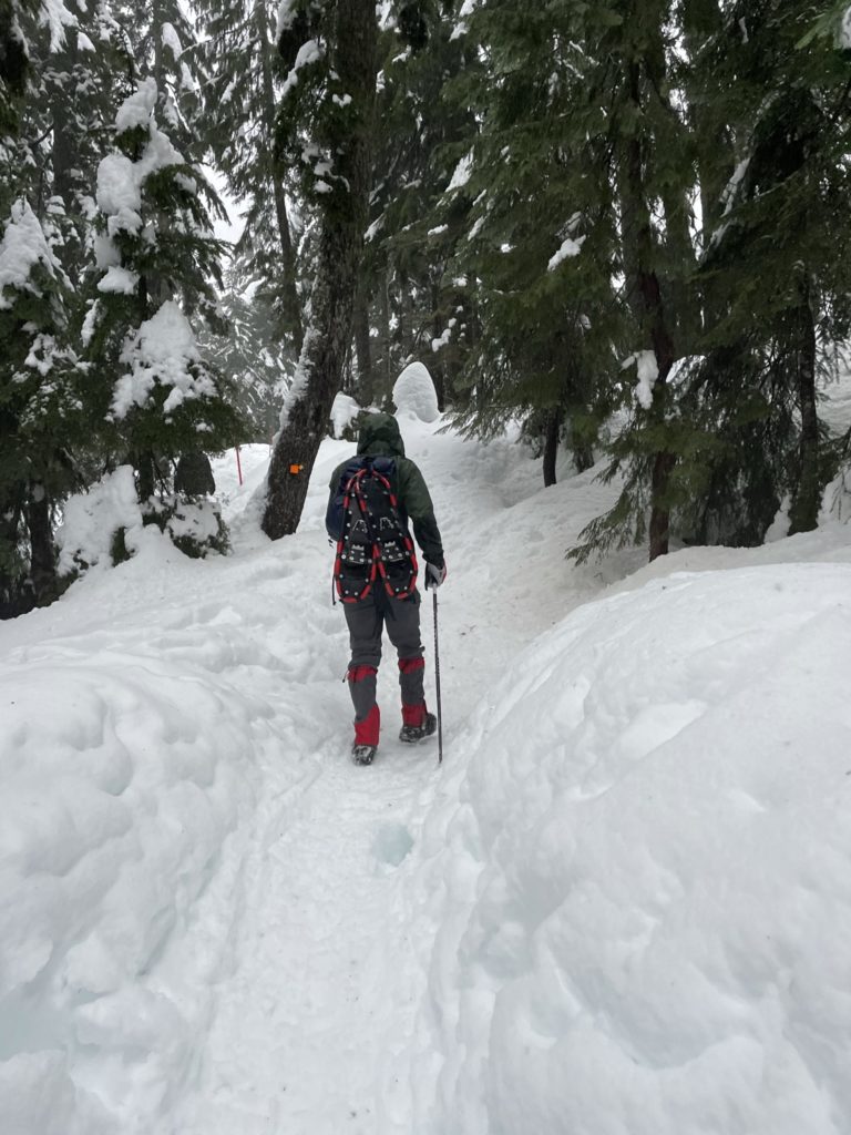
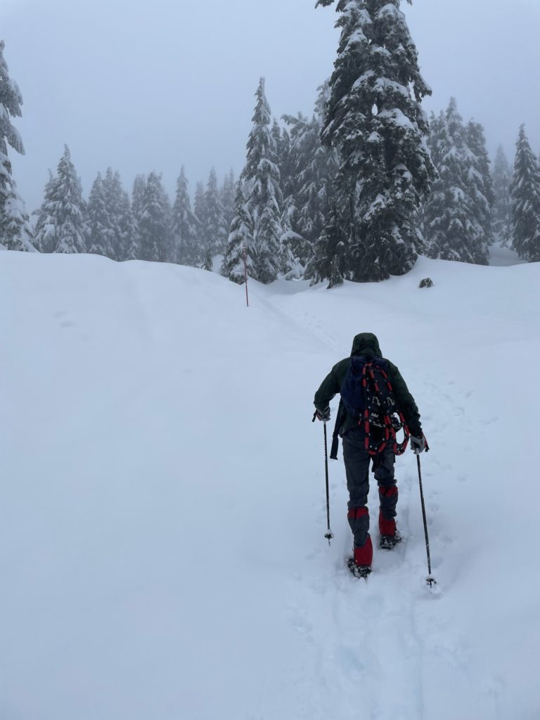
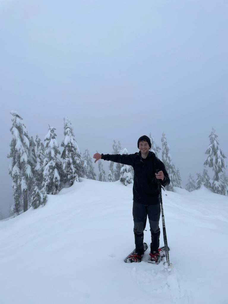
At around the 1 hour mark, we reached the top. As expected, the view was non-existent. We spent a few minutes re-hydrating and then made a quick pace back down the hill. The wind was picking up a bit and we were totally soaked, so not the most comfortable hike back. The rain didn’t seem to stop many other groups either as we ran into countless others pushing past the bad conditions for a nice hike.
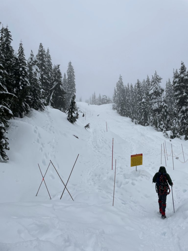
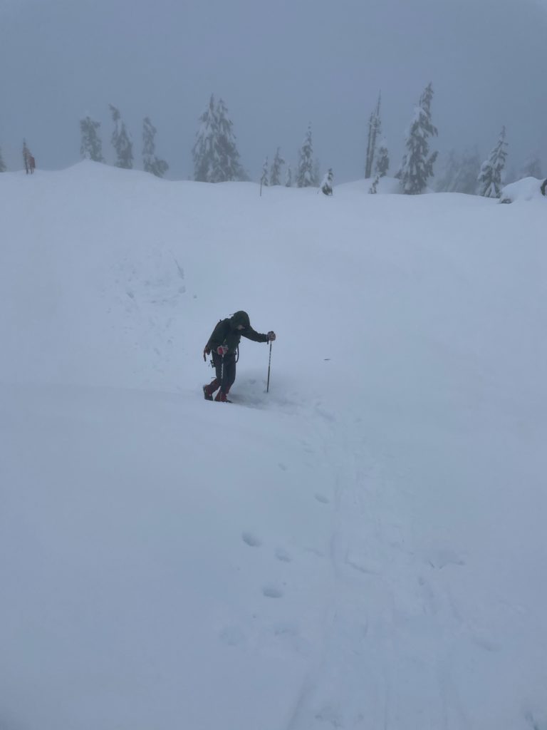
After ~30 minutes of half-running, slipping and walking back down, we finally reached the parking lot. I wasted no time stripping off my wet layers, except for the bare minimums and drove back home for some food and a hot shower.
